The best gravel rides around Durdat-Larequille
4.4
(14)
74
riders
10
rides
Gravel biking around Durdat-Larequille is characterized by routes that traverse a mix of rural landscapes, woodlands, and agricultural areas. The region features varied terrain, including gentle ascents and descents, with several ponds and small water bodies. Routes often connect natural areas with points of interest near Montluçon.
Best gravel bike trails around Durdat-Larequille
- The most popular gravel bike trail is Sault Pond – Bartillat Pond. loop from Montluçon-Ville, a 24.8 miles (39.9 km) trail that takes 3 hours 16…
Last updated: November 2, 2026
4.5
(2)
10
riders
61.3km
04:18
750m
750m
Hard gravel ride. Very good fitness required. Mostly paved surfaces.
7
riders
46.3km
03:03
520m
520m
Hard gravel ride. Very good fitness required. Mostly paved surfaces.

3.0
(1)
10
riders
40.7km
02:48
440m
440m
Hard gravel ride. Good fitness required. You may need to push your bike for some segments of this route.
3.0
(1)
5
riders
40.2km
02:45
470m
470m
Hard gravel ride. Very good fitness required. Mostly paved surfaces.
4
riders
18.0km
01:14
250m
250m
Moderate gravel ride. Good fitness required. Mostly paved surfaces.
Get access to more routes and recommendations from other explorers.
Already have an account?
Our route recommendations are based on thousands of hikes, rides, and runs completed by other people on komoot.
Start today with a free account
Your next adventure awaits.

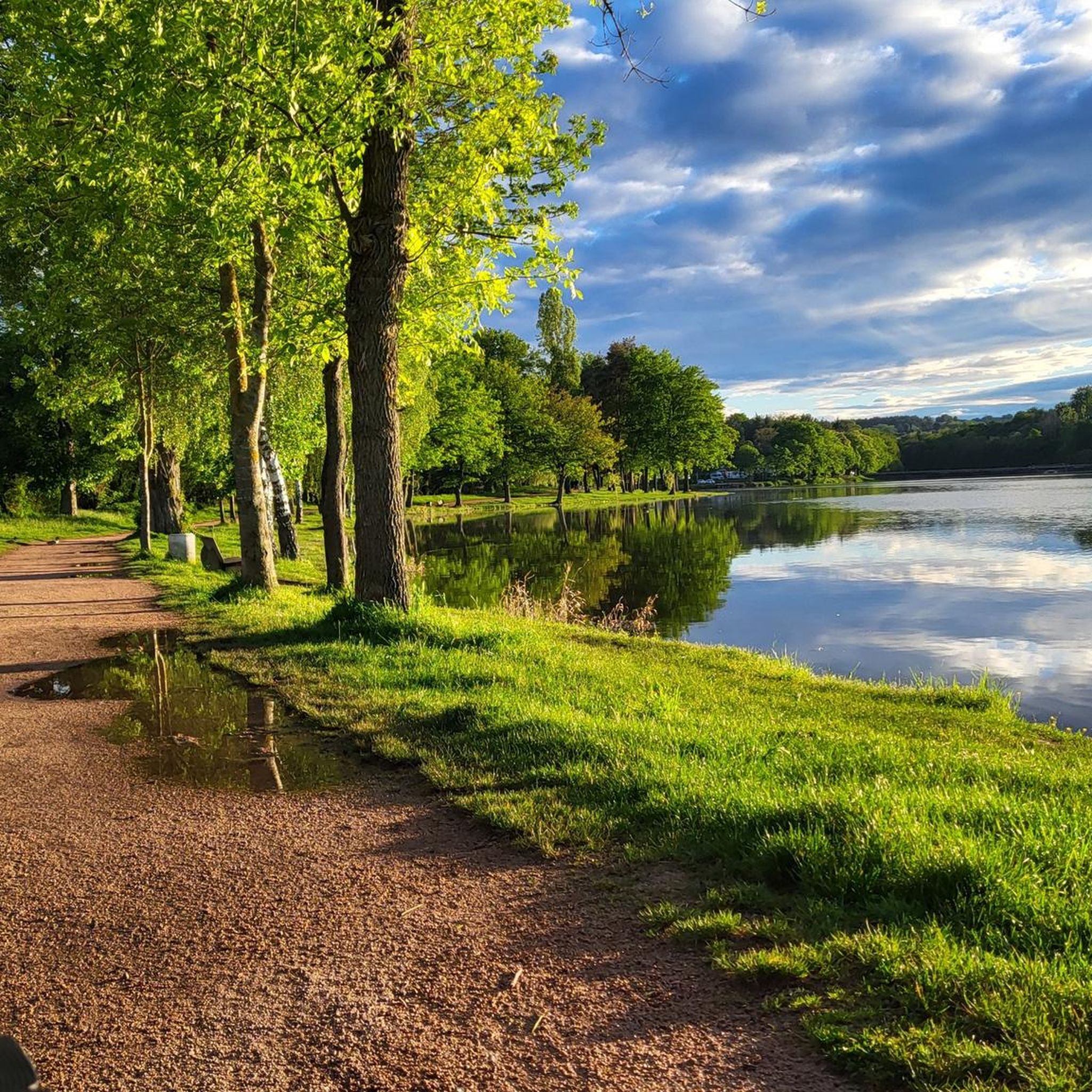
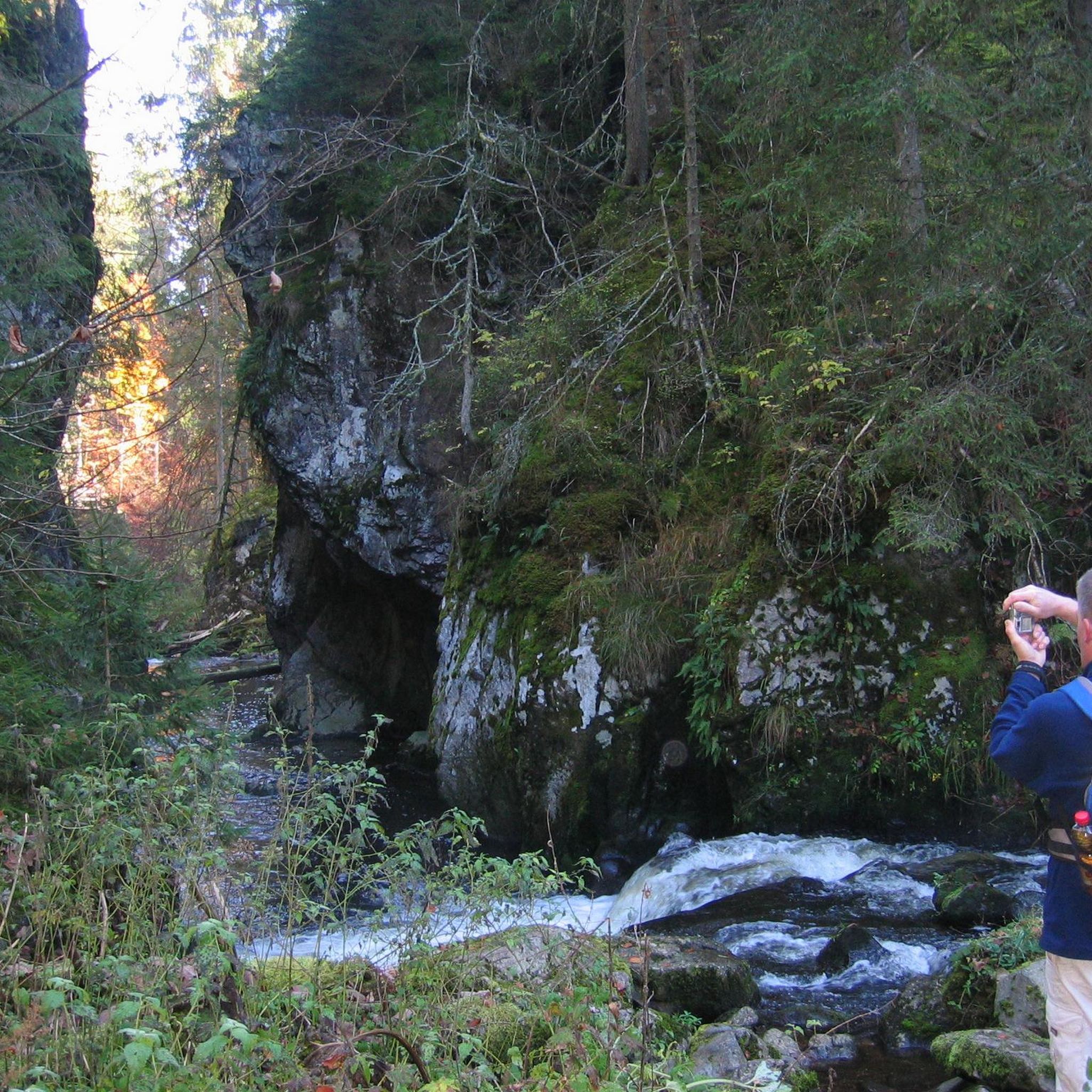

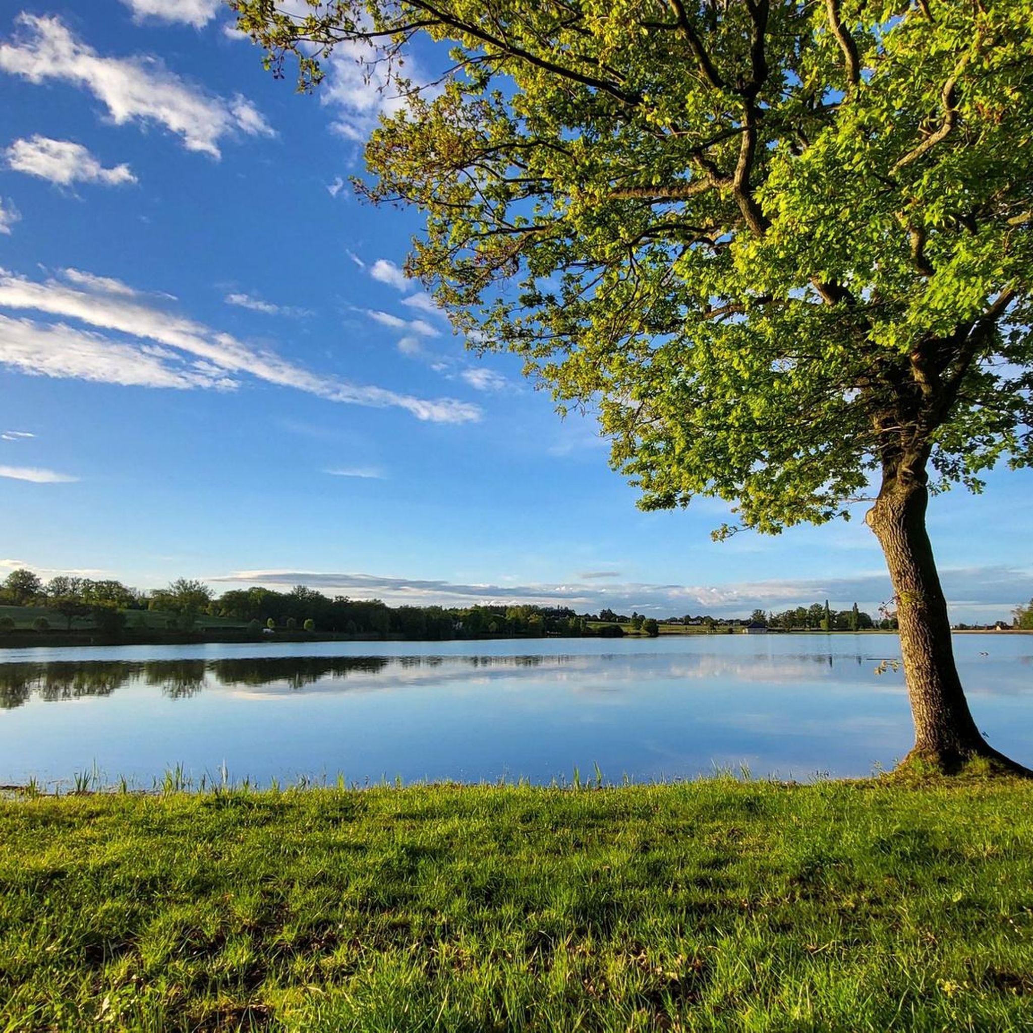
Tips from the Community

Beautiful route, don't forget Montlucon. Slowly down and then slowly back up.
0
0

The highest point in Quinssaines. Beautiful viewpoint, with a pretty little church, and a lovely park for children just behind.
0
0

Beautiful photos but no longer relevant as the pond has been dry for two years.
0
0

The Eden Farm has installed a toilet station for hikers and walkers! It's really nice of them. A big thank you!
0
0

The Romanesque church of Huriel, built in the 12th century, was once the seat of a priory dependent on the powerful Abbey of Déols, a Cluniac monastery in Berry. Built of Jarges granite, it blends Auvergne influences with its superb octagonal bell tower with blind arcades, reminiscent of those of major churches such as Saint-Nectaire or Saint-Saturnin.
0
0

Relaxed freeweelend to Montluçon ; the way back has to be worked.
0
0

Magnificent view of the region!
0
0
Frequently Asked Questions
How many gravel bike trails are available around Durdat-Larequille?
There are 9 gravel bike trails documented around Durdat-Larequille on komoot. These routes offer a mix of rural landscapes, woodlands, and agricultural areas, with varied terrain including gentle ascents and descents.
What is the general difficulty level of gravel biking routes in Durdat-Larequille?
The gravel biking routes in Durdat-Larequille cater to a range of abilities. You'll find 6 moderate routes and 3 difficult routes, offering challenges for both experienced riders and those looking for a good workout.
Are there any family-friendly gravel biking routes in the area?
While specific 'family-friendly' designations aren't provided, many of the moderate routes, such as Le Cournouron – Côte des Réaux loop from Montluçon-Rimard, which is 11.2 miles (18 km) long, could be suitable for families with some biking experience. These routes often feature a mix of open and wooded sections, providing varied scenery.
What is the best time of year for gravel biking in Durdat-Larequille?
Gravel biking in Durdat-Larequille is enjoyable throughout much of the year. Spring and autumn offer pleasant temperatures and vibrant scenery. Summer can also be great, especially when riding through wooded sections that provide shade. Winter rides are possible, but trail conditions may vary with weather.
Are there any circular gravel bike trails around Durdat-Larequille?
Yes, many of the routes are designed as loops. For example, the popular Sault Pond – Bartillat Pond. loop from Montluçon-Ville is a 24.8-mile (39.9 km) circular trail. Another great option is the Croix des Oyaroux – Sault Pond loop from Lavault-Sainte-Anne, covering 20.4 miles (32.9 km).
What kind of terrain can I expect on the gravel bike trails?
The terrain around Durdat-Larequille is diverse, featuring a mix of rural paths, mixed woodlands, and agricultural areas. You'll encounter varied surfaces, including gravel roads, dirt tracks, and some paved sections, with gentle ascents and descents characteristic of the region.
What are some notable natural features or landmarks along the gravel routes?
Many routes connect natural areas and points of interest. You'll often find yourself riding near several ponds and small water bodies. The Montluçon - Old town – Cournauron pond loop from Montluçon-Ville, for instance, passes by Cournauron pond. You might also encounter sections along the Cher River, such as the Along the Cher highlight.
Are there any routes that pass through Montluçon's old town?
Yes, the Ferme de l'Eden – Montluçon - Old town loop from Montluçon-Rimard is a 20.3-mile (32.6 km) trail that leads through rural areas and towards the historic old town of Montluçon, offering a chance to explore its charm.
What do other gravel bikers enjoy most about the trails in Durdat-Larequille?
The area is highly rated by the komoot community, with an average score of 4.3 stars from 8 reviews. Reviewers often praise the varied terrain, the peaceful rural landscapes, and the well-balanced mix of open and wooded sections that characterize the routes around Durdat-Larequille.
Are there any specific viewpoints or scenic spots along the trails?
While specific named viewpoints aren't highlighted, the routes frequently offer scenic vistas across the rural landscapes and agricultural areas. The trails often connect significant ponds like Sault Pond and Bartillat Pond, providing picturesque waterside views. The varied terrain ensures a constantly changing and engaging visual experience.
What is the longest gravel bike trail in the Durdat-Larequille area?
The longest gravel bike trail listed is the Sault Pond – Bartillat Pond. loop from Montluçon-Ville, which spans 24.8 miles (39.9 km) and features a difficult grade, connecting two significant ponds.
Most popular routes around Durdat-Larequille
Most popular attractions around Durdat-Larequille

Get inspired with the komoot mobile app


Explore more
Browse the best Gravel rides in other regions.
