The best gravel rides around Montain
4.7
(23)
404
riders
22
rides
Gravel biking around Montain features a landscape shaped by historical railway infrastructure, including tunnels and viaducts, alongside varied natural terrain. The region presents a mix of challenging climbs and descents, with significant elevation gains on many routes. Riders can expect to encounter former railway lines converted into trails, offering unique riding experiences through the Montain area.
Best gravel bike trails around Montain
- The most popular gravel bike trail is Tunnel de la Diane (Voie PLM) – Révigny Metal Viaduct loop…
Last updated: July 16, 2026
27
riders
Hard gravel ride. Very good fitness required. Mostly paved surfaces. Suitable for all skill levels.
4.8
(5)
87
riders
Hard gravel ride. Very good fitness required. Mostly paved surfaces. Suitable for all skill levels.

Sign up for free
4.7
(3)
155
riders
60.9km
04:02
770m
770m
Hard gravel ride. Very good fitness required. You may need to push your bike for some segments of this route.
5.0
(1)
13
riders
91.5km
06:26
1,340m
1,340m
Hard gravel ride. Very good fitness required. Mostly paved surfaces. Suitable for all skill levels.
4.8
(4)
24
riders
41.8km
02:22
460m
460m
Hard gravel ride. Very good fitness required. Mostly paved surfaces. Suitable for all skill levels.
Get access to more routes and recommendations from other explorers.
Sign up for free
Already have an account?
Our route recommendations are based on thousands of hikes, rides, and runs completed by other people on komoot.
Start today with a free account
Your next adventure awaits.
Login or Signup
Tips from the Community

Very beautiful hike to do in 3 hours at a leisurely pace
0
0

A bit of welcome freshness
0
0

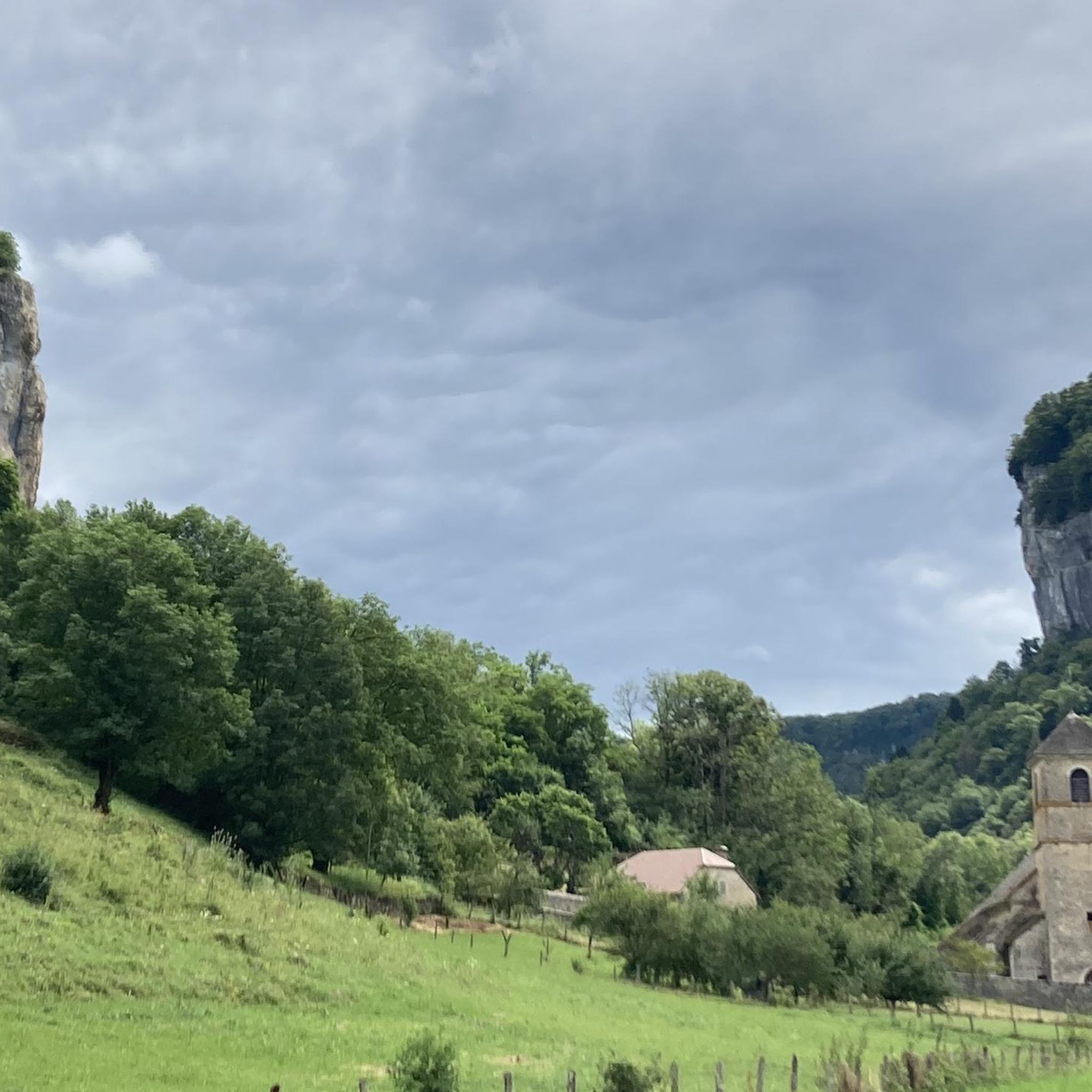
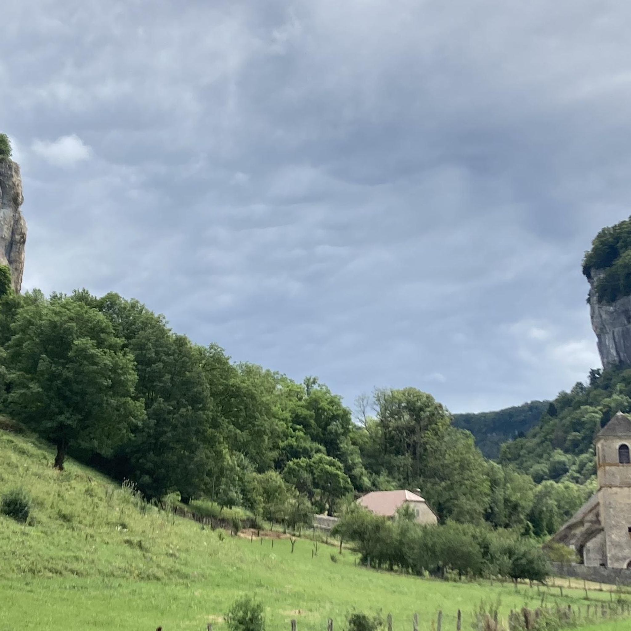
Beautiful viewpoint "Roches de Baume" with views from the plateau into the valley and as far as Baume-les-Messieurs.
5
0

Beautiful, great, viaduct and tunnel. It's a shame the cycle path isn't asphalted.
0
0
Correction to my tip: Asphalt with mixed traffic, for residents, but I couldn't see where the residents wanted to go. It's a shame, some sections of the asphalt are no longer in such good condition.
0
0
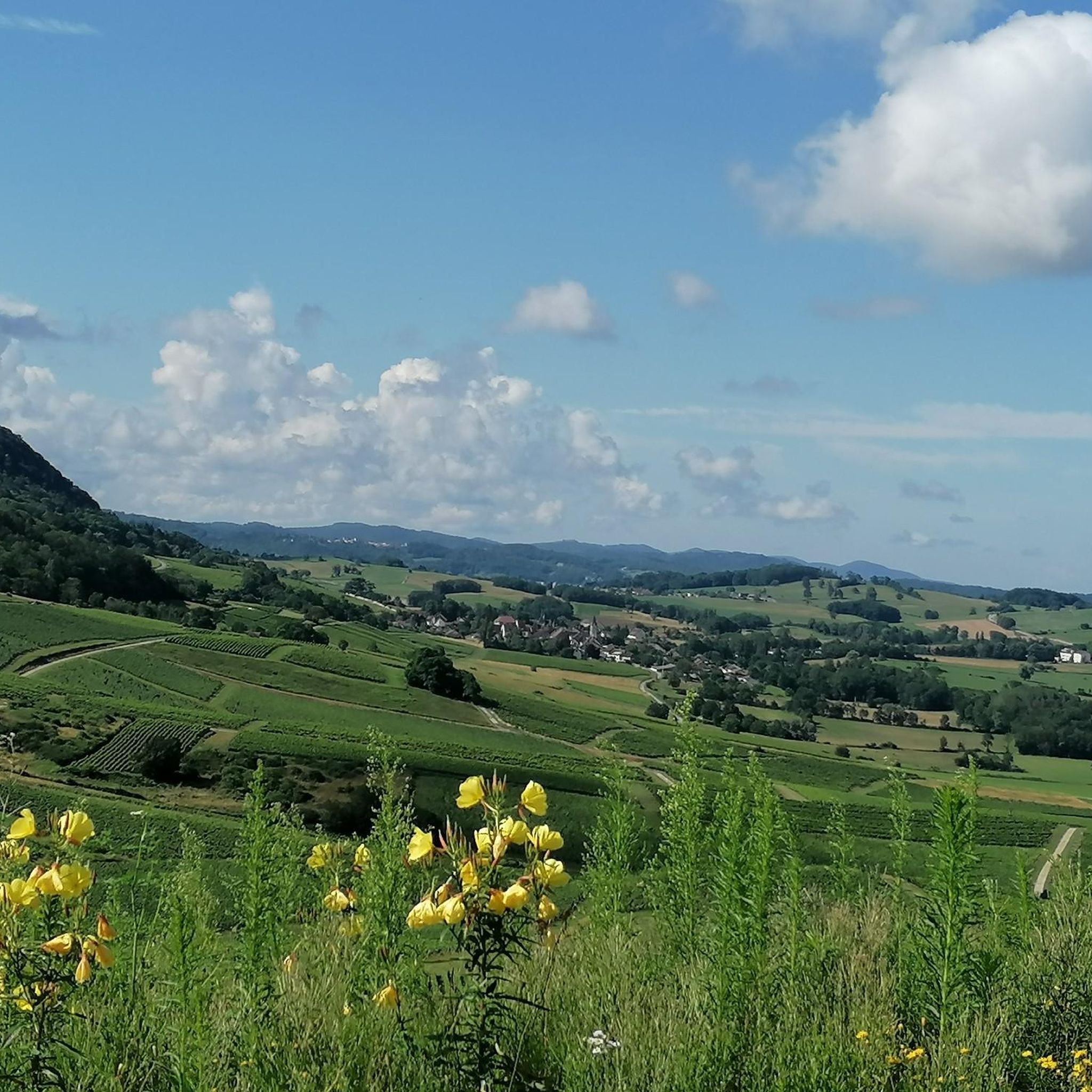
Beautiful views, but unfortunately the railway line cycle path is not asphalted.
0
0
An old railway bridge worth seeing, unfortunately there are stupid rivets on the road and it is slippery when wet.
0
0
With the many tunnels, bridges and some beautiful views, it definitely has the potential to be a beautiful railway cycle path. Most of it is not asphalted, there is light in the tunnels, but the lack of asphalt means that there are very dangerous longitudinal grooves. Later there is a staircase, which is not easy with full luggage and in bad weather. The asphalted sections unfortunately have car traffic, even if only local residents. Conclusion: unfortunately it doesn't come anywhere close to Alpe-Adria.
0
0
Frequently Asked Questions
Are there any easy gravel bike routes around Montain?
The gravel biking network around Montain primarily offers routes for moderate to difficult ability levels. There are no easy routes available in this region, as many feature significant elevation gains and challenging terrain.
What kind of terrain can I expect on gravel bike trails in Montain?
You can expect a diverse landscape shaped by historical railway infrastructure, including tunnels and viaducts, alongside varied natural terrain. The region presents a mix of challenging climbs and descents, with significant elevation gains on many routes. Riders will encounter former railway lines converted into trails.
How long do the gravel bike trails around Montain typically take to complete?
The duration varies significantly depending on the route and your pace. For example, the Tunnel de la Diane (Voie PLM) – Révigny Metal Viaduct loop from Lons-le-Saunier takes about 3 hours 54 minutes for its 35.6 miles (57.3 km). Longer routes, such as the The Old Railway Tunnel – Tunnel de la Diane (Voie PLM) loop from Lons-le-Saunier, can take over 7 hours to complete its 56.7 miles (91.2 km).
Are there any loop gravel bike routes in Montain?
Yes, many of the gravel bike routes around Montain are loops. For instance, the popular Révigny Metal Viaduct – Tunnel de la Diane (Voie PLM) loop from Lons-le-Saunier is a challenging 22.2 miles (35.8 km) circular path. Another option is the The Old Railway Tunnel – Révigny Metal Viaduct loop from Lons-le-Saunier, which covers 37.6 miles (60.5 km).
What are some interesting landmarks or attractions I can see near the gravel bike routes?
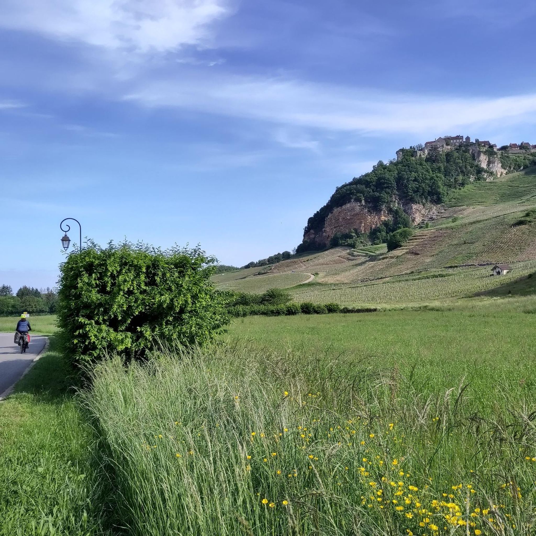
The Montain region is rich in natural and historical sights. You can explore the impressive Baume-les-Messieurs Tufa Waterfall, visit the historic Saint-Pierre Abbey in Baume-les-Messieurs, or wander through the picturesque Château-Chalon Village. Many routes also pass through or near the Tunnel de la Diane (Voie PLM), a key feature of the old railway lines.
What do other gravel bikers enjoy most about Montain's trails?
The area is highly rated by the komoot community, with an average score of 4.7 stars from over 20 reviews. Riders often praise the unique experience of cycling through historic railway tunnels and over impressive viaducts, as well as the challenging nature of the hilly terrain.
Are there any cafes or places to stop for refreshments near the gravel bike routes?
While specific cafes are not listed for every route, many of the trails start or pass through towns like Lons-le-Saunier, where you will find various options for refreshments and meals. It's always a good idea to check the route details on komoot for points of interest along your chosen path.
How many gravel bike routes are available in the Montain region?
There are 17 gravel bike routes available around Montain, offering a variety of challenging experiences for riders. These include 4 moderate and 13 difficult routes.
What is the best season for gravel biking in Montain?
While specific seasonal recommendations depend on personal preference and current weather, the varied terrain and historical features of Montain can be enjoyed across different seasons. Spring and autumn often offer pleasant temperatures and beautiful scenery. Always check local weather conditions before heading out.
Are there any less crowded gravel biking options in Montain?
While the most popular routes like those featuring the Tunnel de la Diane and Révigny Metal Viaduct can see more traffic, exploring some of the less-known routes or riding during off-peak hours might offer a quieter experience. All routes provide a challenging and rewarding ride through the region's unique landscape.
What kind of elevation changes can I expect on Montain's gravel bike trails?
Gravel biking in Montain is characterized by significant elevation changes. For example, the Tunnel de la Diane (Voie PLM) – Révigny Metal Viaduct loop from Lons-le-Saunier involves over 800 meters of ascent, while the longest route, The Old Railway Tunnel – Tunnel de la Diane (Voie PLM) loop from Lons-le-Saunier, features over 1300 meters of climbing.
Can I access Montain's gravel bike trails using public transport?
Many of the gravel bike routes in Montain start from larger towns like Lons-le-Saunier, which may have public transport connections. However, specific public transport access points for each trail are best checked on the individual route pages on komoot, as options can vary.
Most popular attractions around Montain

Get inspired with the komoot mobile app


Explore more
Browse the best Gravel rides in other regions.
