The best gravel rides around Pont-Du-Navoy
4.4
(25)
132
riders
21
rides
Gravel biking around Pont-Du-Navoy offers diverse terrain, characterized by rolling hills, dense woodlands, and scenic routes along former railway lines. The region is situated on a low terrace carved by the Ain River and is surrounded by water features, including the Ain River itself and nearby Jura lakes like Lac de Chalain and Lac de Vouglans. The geological makeup of plateaus and valleys provides varied conditions suitable for different gravel biking experiences, often utilizing converted railway tracks known as "Voie…
Last updated: October 19, 2026
4.6
(7)
36
riders
44.9km
02:44
670m
670m
Hard gravel ride. Very good fitness required. Mostly paved surfaces.
5.0
(2)
9
riders
20.3km
01:32
300m
300m
Moderate gravel ride. Good fitness required. Mostly paved surfaces.

4.0
(2)
7
riders
15.1km
01:02
290m
290m
Moderate gravel ride. Good fitness required. Mostly paved surfaces.
9
riders
107km
07:19
1,510m
1,510m
Hard gravel ride. Very good fitness required. Mostly paved surfaces.
4.0
(2)
9
riders
20.1km
01:32
240m
240m
Moderate gravel ride. Good fitness required. Mostly paved surfaces.
Get access to more routes and recommendations from other explorers.
Already have an account?
Our route recommendations are based on thousands of hikes, rides, and runs completed by other people on komoot.
Start today with a free account
Your next adventure awaits.
Tips from the Community

Small hike of 70 km today starting from Clairvaux, Cogna, Uxelles, Le Saugeot, Bonlieu, camping du lac de Narlay in Le Frasnois, Le Vaudioux, Pillemoine, Loulle, Mont sur Monnet, Fontenu, Doucier, Charcier, Route de la Clouterie below Clairvaux les Lacs for the return.
0
0

Very nice outing early in the morning
0
0

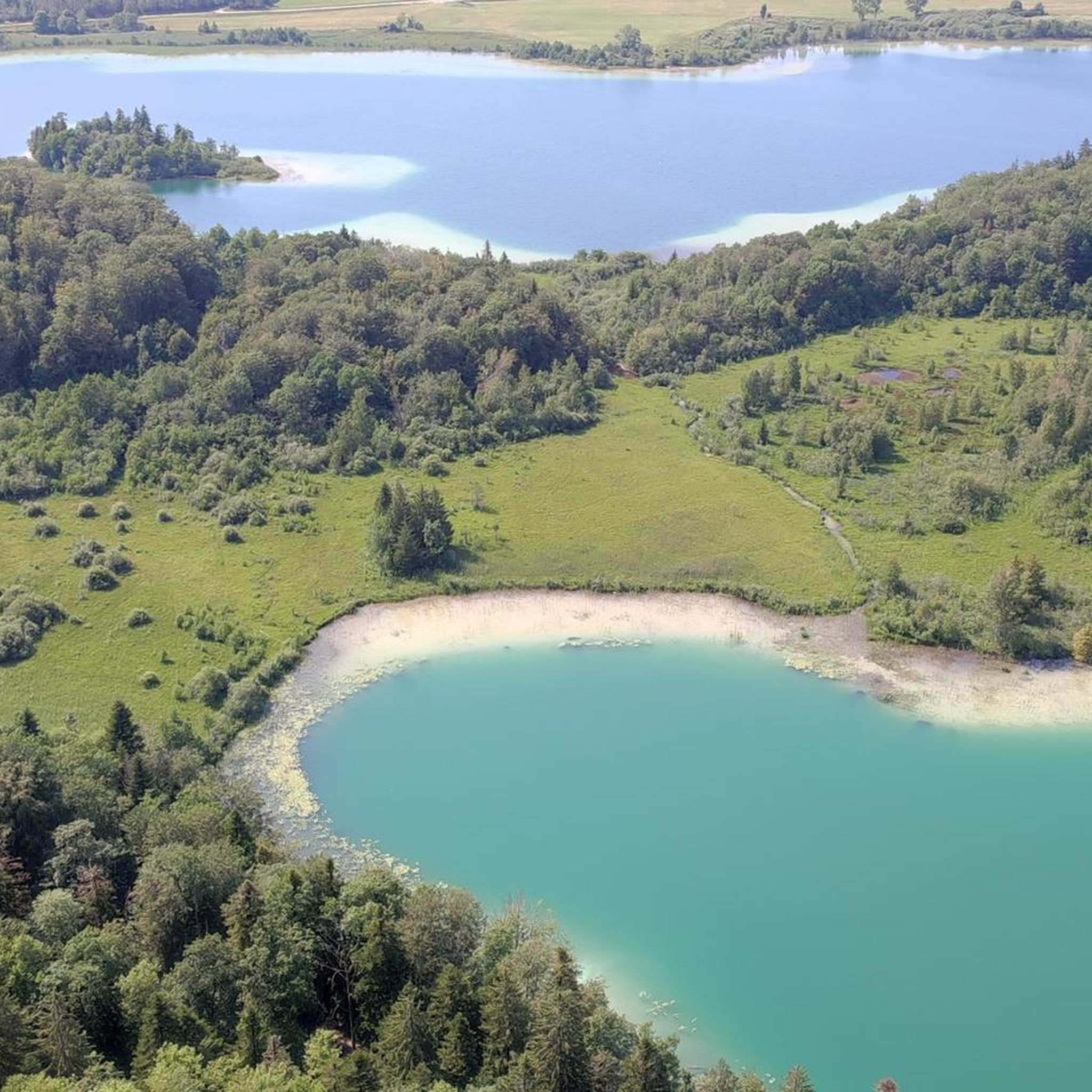
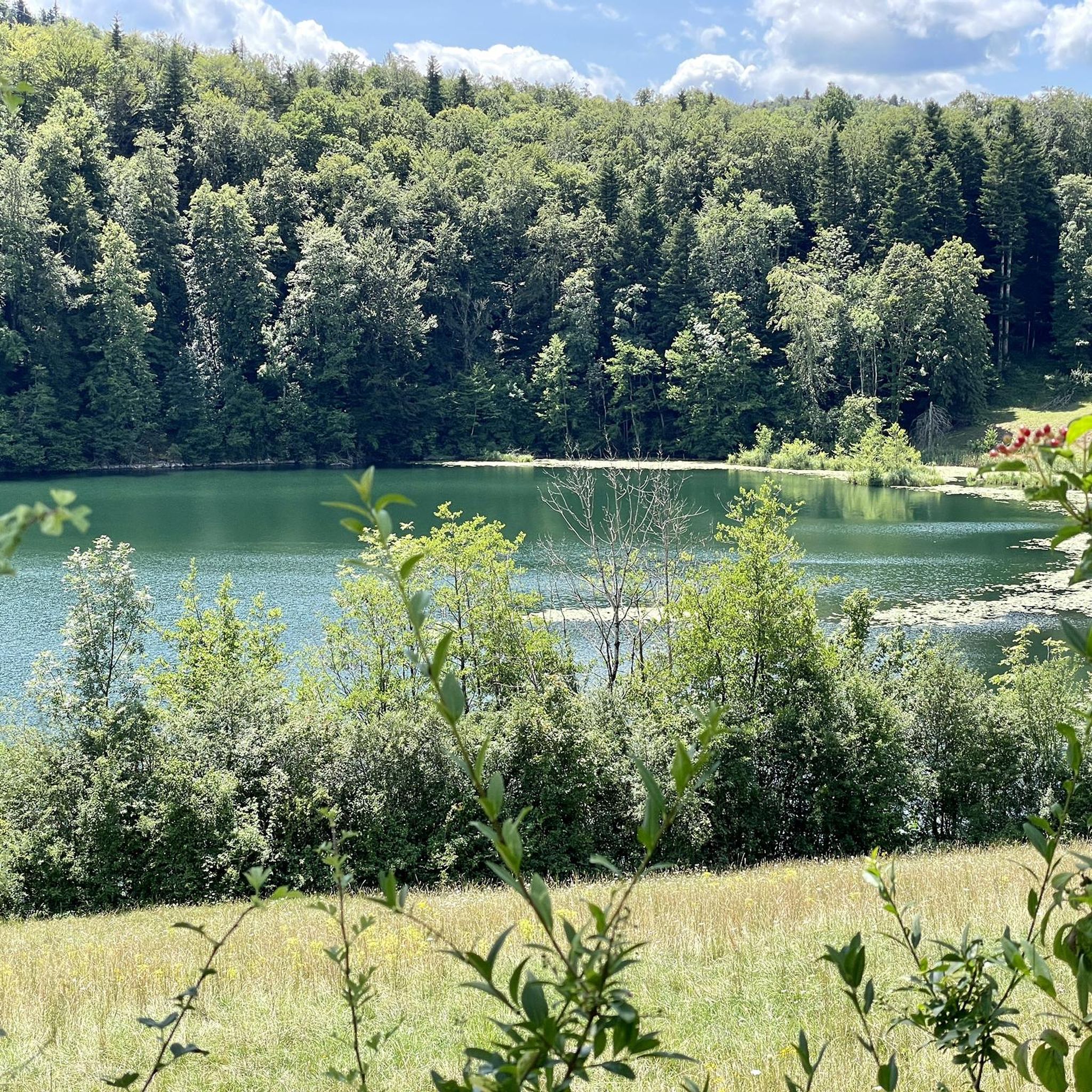
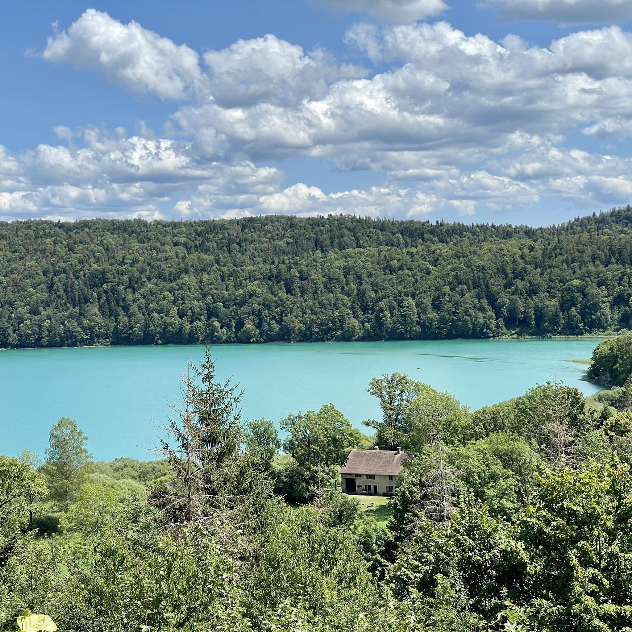
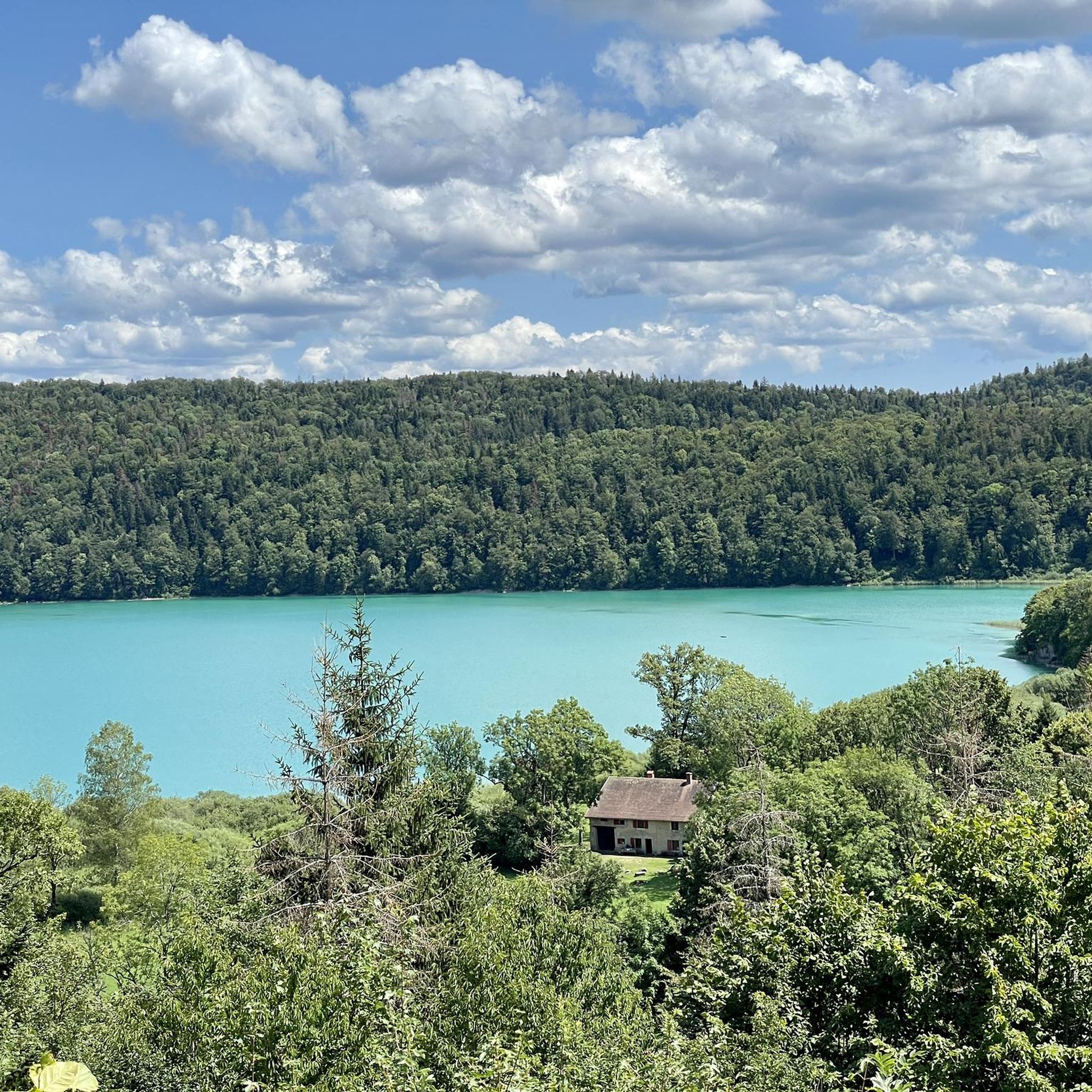
An imposing lake, of a remarkable blue!
0
0

Small, rocky stretch of beach that you can climb down to, as well as good views of Lac Le Grand Maclu.
5
0

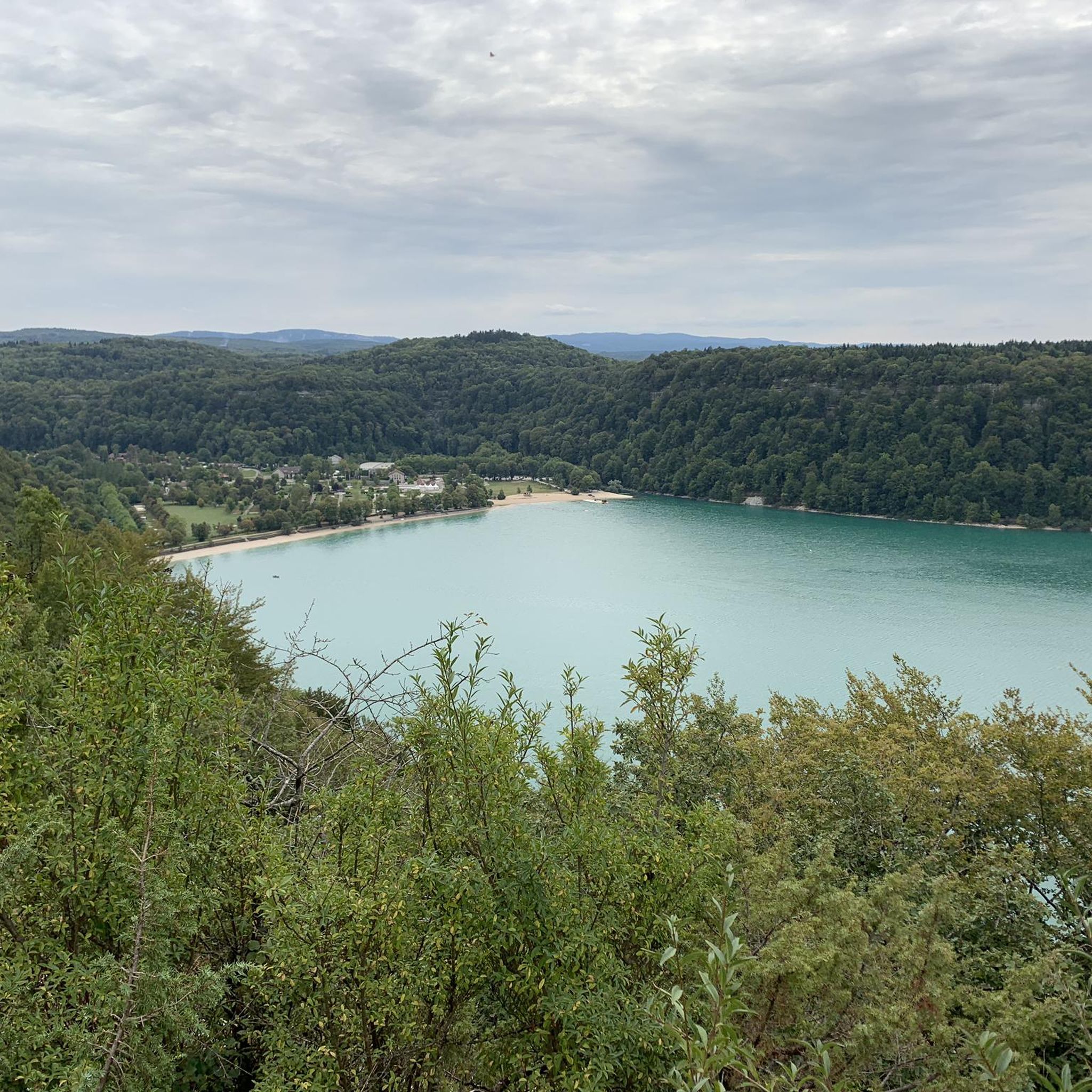
Beautiful view of the lake, and afterward, we had a lovely swim in the lake. Nice bar with delicious ice cream.
0
0

Frequently Asked Questions
What kind of terrain can I expect on gravel bike trails around Pont-Du-Navoy?
The region offers diverse terrain, including rolling hills, dense woodlands, and scenic routes along former railway lines. You'll find a mix of challenging climbs and more moderate paths, often with views of local lakes and valleys. Many trails utilize converted railway tracks, known as "Voie PLM," which provide smooth surfaces.
Are there any easy or beginner-friendly gravel bike routes in Pont-Du-Navoy?
While many routes have moderate to difficult ratings, the region's use of former railway lines can offer smoother sections. For a moderate experience, consider the Pont-du-Navoy – Champagnole loop from Mont-sur-Monnet, which covers 22.1 miles (35.5 km) through varied terrain.
What are some longer distance gravel biking options near Pont-Du-Navoy?
For a longer ride, the Révigny Metal Viaduct – Tunnel de la Diane (Voie PLM) loop from Hauteroche is a substantial 36.6 miles (58.9 km) route. Another challenging option is the Doucier Beach – View of Lake Chalain loop from Doucier, which is 34.9 miles (56.2 km) long.
Are there any challenging gravel bike trails for advanced riders?
Yes, advanced riders will find plenty of challenging options. Routes like the PLM cycle path – View of Lac de Chalain loop from Marigny, a difficult 26.6 miles (42.9 km) path, offer significant climbs and varied conditions. Overall, 16 of the 28 available routes are rated as difficult.
What kind of views or natural attractions can I expect along the gravel bike trails?
Many routes offer stunning views, particularly of local lakes like Lac de Chalain. You can also explore natural monuments such as the Ladoye Viewpoint or the dramatic Cirque of the Daume Cliffs. Some trails even pass through unique geological features like The labyrinth.
Are there any circular gravel bike routes available?
Many of the gravel bike routes around Pont-Du-Navoy are designed as loops, allowing you to start and finish at the same point. Examples include the Révigny Metal Viaduct – Tunnel de la Diane (Voie PLM) loop from Hauteroche and the View of Lac de Chalain – Doucier Beach loop from Marigny.
How many gravel bike trails are available in the Pont-Du-Navoy area?
There are over 25 gravel bike trails available around Pont-Du-Navoy, offering a wide range of distances and difficulties to suit different preferences.
What do other gravel bikers enjoy most about the trails in Pont-Du-Navoy?
The area is highly rated by the komoot community, with an average score of 4.4 stars from over 15 reviews. Reviewers often praise the diverse terrain, the scenic lake views, and the unique experience of riding along old railway lines.
Are there any routes that are particularly good for families or less experienced riders?
For a more accessible ride that still offers beautiful scenery, consider the View of Lac de Chalain – Doucier Beach loop from Marigny. This moderate 9.4 miles (15.1 km) route provides lovely lake views and is a good option for those seeking a less strenuous outing.
What is the best season for gravel biking in Pont-Du-Navoy?
While specific data isn't provided, the region's dense woodlands and lake views suggest that spring and autumn would offer pleasant temperatures and vibrant scenery. Summer can also be enjoyable, but be prepared for potentially warmer weather, especially on exposed sections.
Are there any specific landmarks or points of interest along the gravel routes?
Yes, several routes offer access to interesting landmarks. You might encounter the historic Révigny Metal Viaduct, or pass through the Tunnel de la Diane on the Voie PLM. Additionally, natural highlights like the Limestone Carved Ladder or the Entrance to Grotte de la Borne aux Cassots are nearby.
Most popular routes around Pont-Du-Navoy
Most popular attractions around Pont-Du-Navoy

Get inspired with the komoot mobile app


Explore more
Browse the best Gravel rides in other regions.
