The best gravel rides around La Saulce
4.3
(8)
54
riders
9
rides
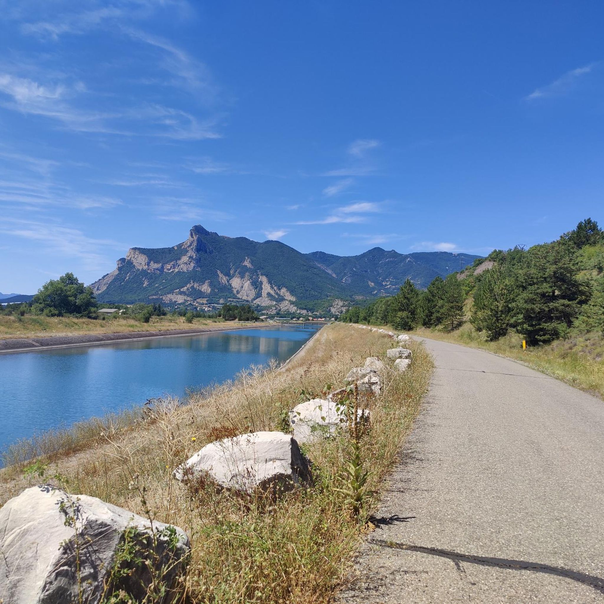
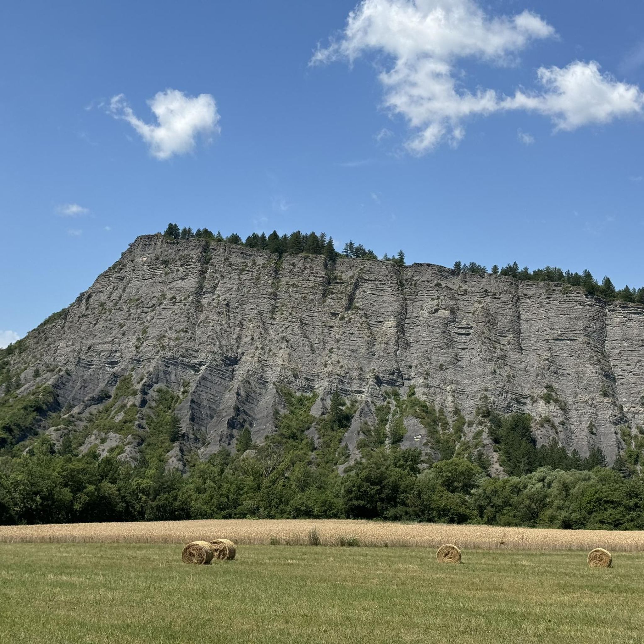
Gravel bike trails around La Saulce are situated in the Hautes-Alpes department, offering a diverse landscape for cycling. The region transitions from mountainous areas to agricultural basins, providing varied terrain for gravel routes. Riders can expect a mix of unpaved and paved surfaces, traversing the Durance Valley with its orchards and dedicated cycle paths. The area is characterized by its position between the Southern French Alps and Southern Provence.
Best gravel bike trails around La Saulce
- The most popular gravel…
Last updated: October 19, 2026
4.0
(2)
14
riders
28.7km
02:14
540m
540m
Hard gravel ride. Very good fitness required. Mostly paved surfaces.
6
riders
42.3km
04:13
1,230m
1,230m
Hard gravel ride. Very good fitness required. Mostly paved surfaces.

4
riders
18.2km
01:16
250m
250m
Moderate gravel ride. Good fitness required. Mostly paved surfaces.
4.0
(1)
11
riders
42.6km
03:20
1,140m
1,140m
Hard gravel ride. Very good fitness required. Mostly paved surfaces.
4.0
(1)
4
riders
18.9km
01:17
310m
310m
Moderate gravel ride. Good fitness required. Mostly paved surfaces.
Get access to more routes and recommendations from other explorers.
Already have an account?
Our route recommendations are based on thousands of hikes, rides, and runs completed by other people on komoot.
Start today with a free account
Your next adventure awaits.

Tips from the Community

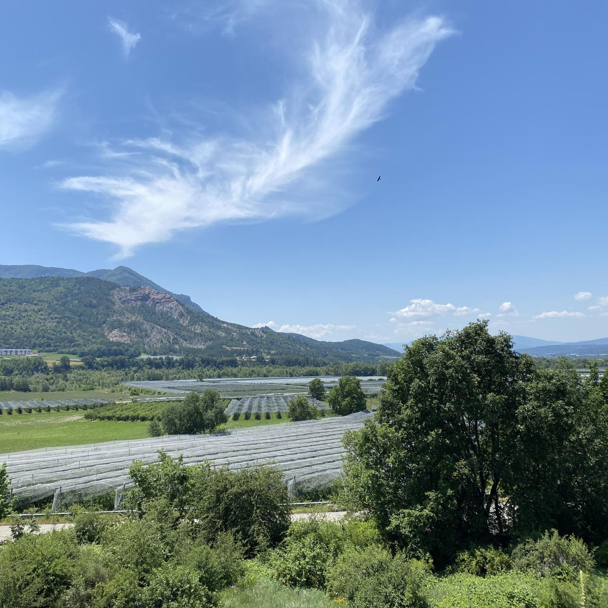
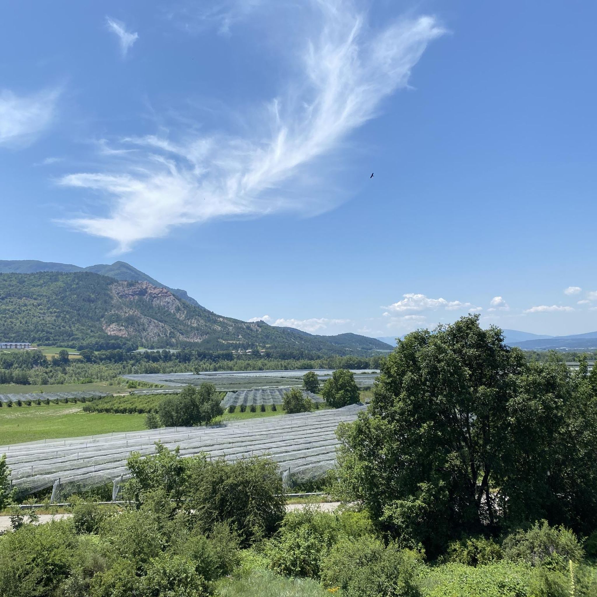
It is a very pleasant road for the road bike: it crosses a rural and mountainous landscape, with open views of the valleys and surrounding mountains.
8
0
The Col d'Espreaux is a climb located in the Hautes-Alpes region. This climb is 12.2 km long, with a total elevation gain of 585 m. The Col d'Espreaux has an average gradient of 4.8%.
20
0
The water here is very good and fresh.
18
0
You can safely drink the water here.
13
0
Tallard is a French commune with 1,996 inhabitants located in the Hautes-Alpes department in the Provence-Alpes-Côte d'Azur region. 570-1,121 m above sea level.
16
0
The Col de Foureyssasse from La Saulce is a climb located in the Hautes-Alpes region. This climb is 7 km long, with a total elevation gain of 461 m. The Col de Foureyssasse from La Saulce has an average gradient of 6.6%.
12
0

Frequently Asked Questions
How many gravel bike trails are available around La Saulce?
There are 13 gravel bike trails around La Saulce, offering a diverse range of experiences. These include 5 moderate routes and 8 more challenging options for experienced riders.
What kind of terrain can I expect on gravel bike trails near La Saulce?
The terrain around La Saulce is quite varied, transitioning from mountainous areas to agricultural basins. You'll encounter a mix of unpaved and paved surfaces, including paths through the Durance Valley with its orchards and dedicated cycle paths. The region is known for its 'sunny paths', providing a pleasant riding experience.
Are there any family-friendly or easy gravel bike trails in La Saulce?
While many routes around La Saulce are rated moderate to difficult, there are options suitable for those looking for a less strenuous ride. For instance, the Tallard Castle – Le Rousine Riverbank loop from Lotissement Le Pré du Château is a moderate 18.4 km trail that offers a scenic ride without extreme difficulty, making it a good choice for families or beginners.
What natural features or landmarks can I see along the gravel bike trails?
Gravel biking around La Saulce offers access to several notable natural features and historical landmarks. You can explore the picturesque Durance Valley, known for its orchards, and pass by the significant Espréaux Pass. The region also features preserved natural spaces like the Piles Wetland, an ornithological haven. For historical interest, some routes may bring you near the impressive Tallard Castle or the historical watchtower of La Saulce.
What is the best time of year for gravel biking in La Saulce?
La Saulce benefits from 'sunny paths' and its location between the Southern French Alps and Southern Provence, making it suitable for outdoor activities for much of the year. Spring and autumn generally offer pleasant temperatures for gravel biking, avoiding the peak heat of summer and potential winter snows at higher elevations.
Are there any circular gravel bike routes available?
Yes, many of the gravel bike routes around La Saulce are designed as loops. For example, the popular Pelleautier Lake – Lake Pelleautier loop from Pelleautier is a difficult 27.7 km trail that circles the scenic Pelleautier Lake, providing a complete riding experience back to your starting point.
What do other gravel bikers say about the trails in La Saulce?
The gravel biking routes around La Saulce are highly regarded by the komoot community, with an average rating of 4.0 stars from over 4 reviews. Riders often appreciate the diverse landscapes, which include everything from mountainous views to agricultural basins, and the mix of challenging and scenic paths.
Are there any particularly challenging gravel routes for experienced riders?
Yes, La Saulce offers several challenging routes for experienced gravel bikers. The Espréaux Pass – Espréaux Pass loop from Sigoyer is a difficult 42.4 km path known for its significant elevation gain. Another demanding option is the Gravel compatico-sympathic – Piègut village loop from Piégut, which covers 42.3 km through varied and often challenging terrain.
Can I find long-distance gravel bike routes near La Saulce?
For those seeking longer rides, La Saulce has options that extend your gravel biking adventure. The Lake Pelleautier – Pelleautier Lake loop from Sigoyer is a substantial 74.8 km route, offering a full day's ride with considerable elevation changes.
What are some scenic viewpoints or areas to explore on a gravel bike?
The region around La Saulce is rich in scenic beauty. You can enjoy panoramic views over the Durance Valley from the historical watchtower of La Saulce. The routes often traverse diverse landscapes, from the mountainous backdrop of the Southern French Alps to the tranquil agricultural basins, providing continuous scenic enjoyment. The area around Pelleautier Lake also offers beautiful vistas.
Most popular attractions around La Saulce

Get inspired with the komoot mobile app


Explore more
Browse the best Gravel rides in other regions.
