The best gravel rides around Electoral Area A
4.6
(79)
321
riders
13
rides
Gravel biking around Electoral Area A offers access to a rugged wilderness characterized by diverse landscapes and an extensive network of unpaved roads and trails. This region, part of the Squamish-Lillooet Regional District, features dramatic mountain surroundings, broad valleys, prominent ridges, and numerous lakes and rivers. The terrain includes sub-alpine and alpine meadows and peaks, providing varied surfaces for gravel cyclists. Historic routes and forestry service roads contribute to the area's appeal for off-road exploration.
Best gravel bike trails around…
Last updated: September 23, 2026
4.3
(44)
125
riders
Moderate gravel ride. Good fitness required. Mostly paved surfaces. Suitable for all skill levels.
5.0
(4)
54
riders
32.7km
02:06
540m
540m
Hard gravel ride. Very good fitness required. You may need to push your bike for some segments of this route.

4.2
(9)
41
riders
Moderate gravel ride. Good fitness required. Mostly paved surfaces. Suitable for all skill levels.
5.0
(2)
29
riders
51.4km
02:36
140m
130m
Moderate gravel ride. Good fitness required. Mostly paved surfaces. Suitable for all skill levels.
5.0
(1)
17
riders
Easy gravel ride. Great for any fitness level. Mostly paved surfaces. Suitable for all skill levels.
Get access to more routes and recommendations from other explorers.
Already have an account?
Our route recommendations are based on thousands of hikes, rides, and runs completed by other people on komoot.
Start today with a free account
Your next adventure awaits.
Popular around Electoral Area A

Canada by train – scenic hikes from Western stations

Pacific charm and peak happiness in British Columbia

MTB Road Trip Sea-to-Sky – dream trails in British Columbia
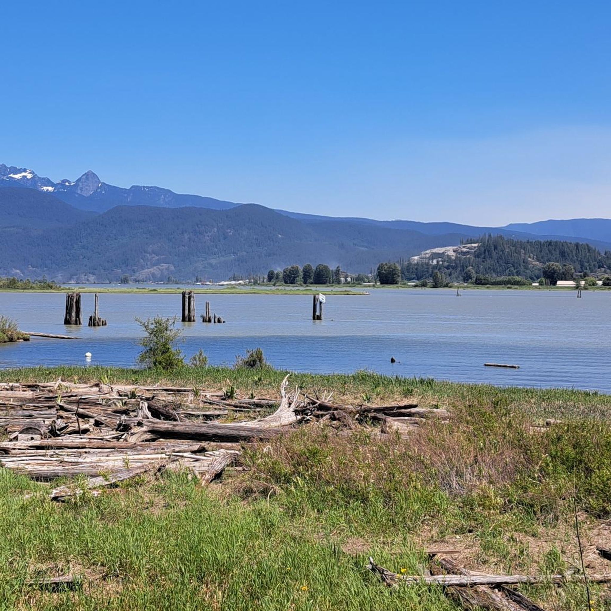
Hiking around Electoral Area A
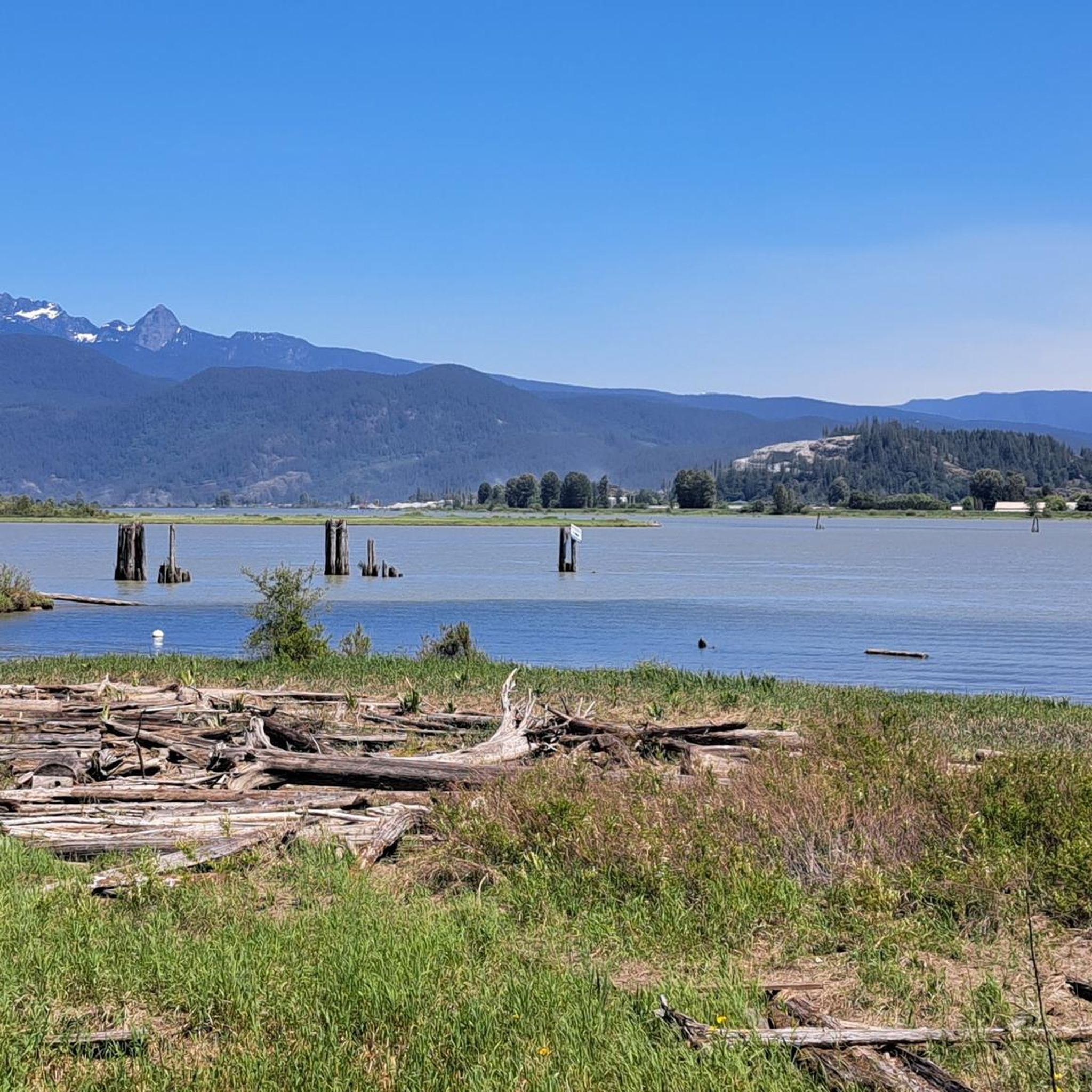
Road Cycling Routes around Electoral Area A
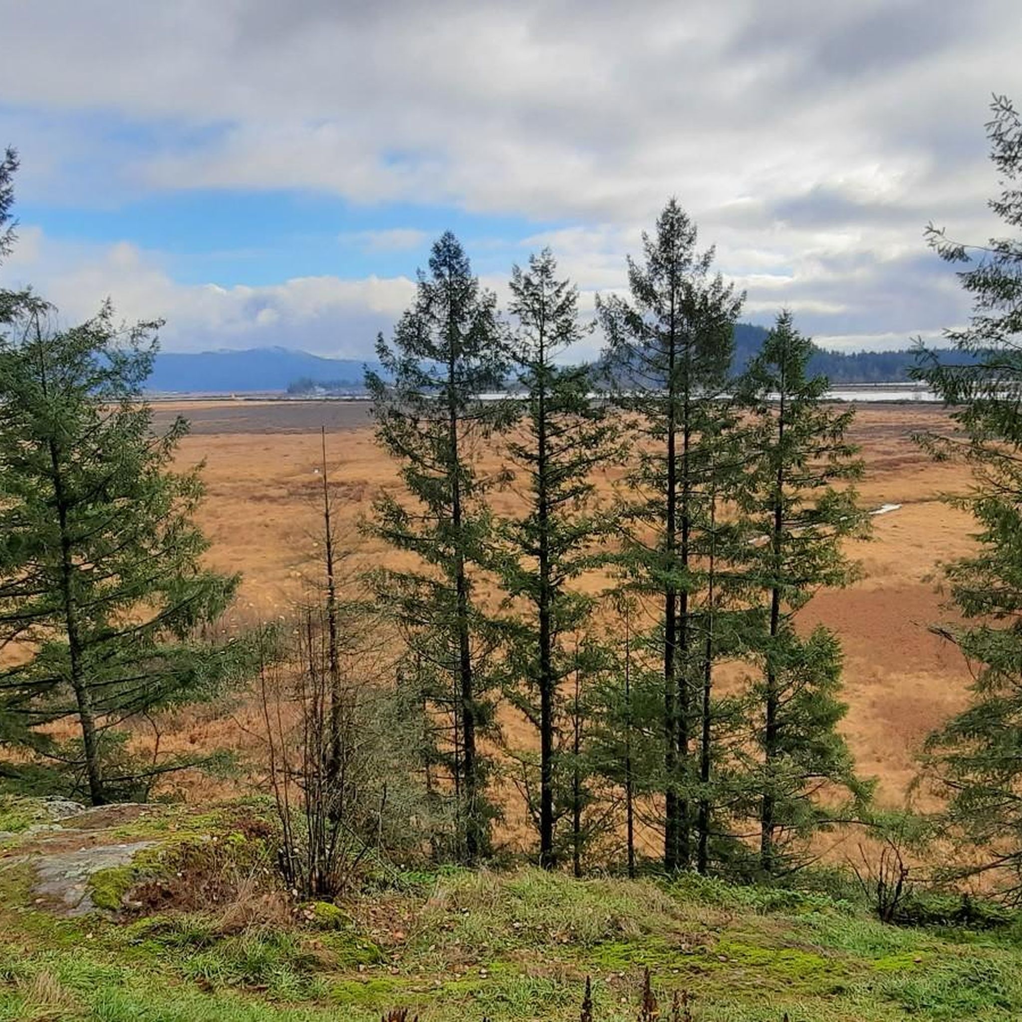
Cycling around Electoral Area A
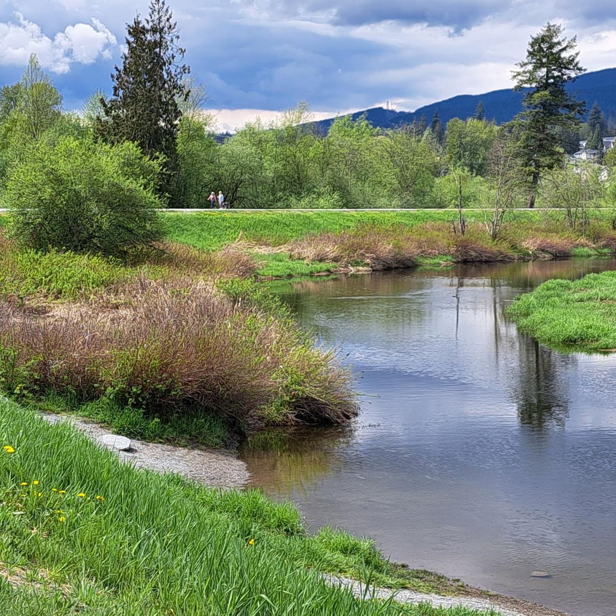
Running Trails around Electoral Area A
MTB Trails around Electoral Area A
Other adventures around Electoral Area A


Tips from the Community

The Hyde Creek Salmon Hatchery is a small powerhouse of local conservation, run entirely by volunteers who raise thousands of coho and chum salmon each year. Its story began in the 1980s with a homemade backyard hatchery, complete with an old bathtub! Drop by on a Saturday morning when volunteers are usually around, and you may get a glimpse behind the scenes before heading back out to watch for salmon in Hyde Creek itself.
1
0

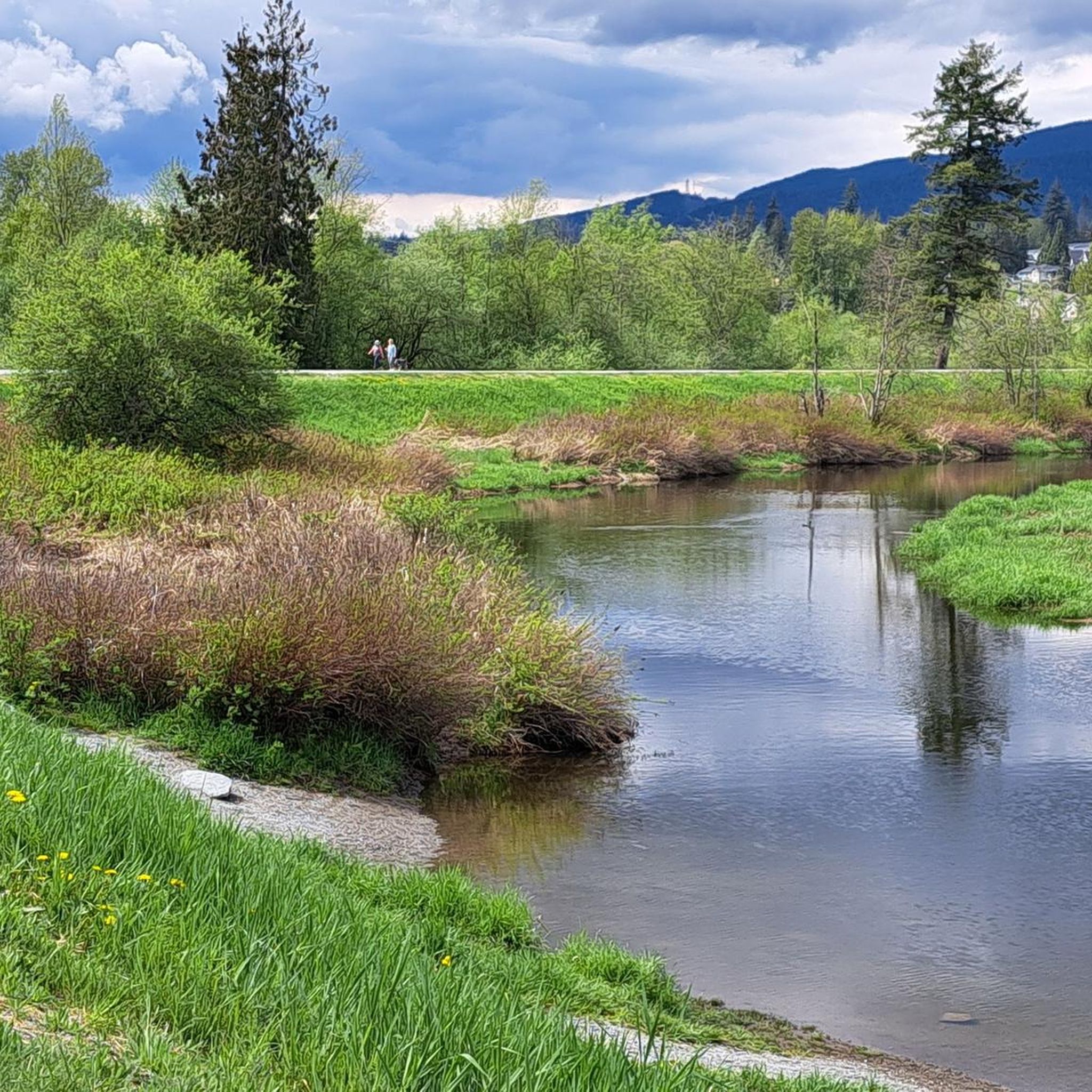
The view opens onto a slow, meandering river cutting through wide-open farmland — a mix of grassy fields, wetland patches, and hedgerows rather than dense forest crowding the banks.
0
0

This section of the Trans Canada Trail follows the wooded banks of the Coquitlam River through Coquitlam. The mostly gravel path runs through forested river habitat, offering a quiet stretch of trail where the sound of the river accompanies much of the walk. It’s a multi-use route popular with hikers, runners, and cyclists, and several bridges and viewpoints along the way provide good views over the river as it flows through the valley.
0
0

A really beautiful place to walk.
3
0

This beautiful river is a major tributary of the Fraser River that flows south from the Garibaldi Ranges, through Pitt Lake, before joining the Fraser River near Port Coquitlam. The lower stretches of the river are tidal, and the surrounding wetlands are home to a rich diversity of wildlife. The river also holds cultural significance for the Kwantlen First Nation, serving as a natural corridor that connects the coastal region with the interior of the province.
0
0


The Seymour River Suspension Bridge was completed and opened in December 2018. This made it possible to walk the Fisherman's Trail (North) all the way through again. After the former Twin Bridges had to be demolished in 2014 following a rockslide and damming of the Seymour River, there was no longer a crossing at this point in the Lower Seymour Conservation Reserve. The Twin Bridges were originally built in 1908 to carry pipelines and were later supplemented by a parallel pedestrian bridge. Years later, the two bridges were combined to form one bridge. https://www.vancouvertrails.com/blog/seymour-river-suspension-bridge/
2
0
The Pipeline Bridge is a pedestrian bridge over Lynn Creek, offering views of the creek in the gorge. The bridge was built in 1993 and serves as one of the park entrances to Lynn Canyon Park and Rice Lake in the Lower Seymour Conservation Reserve. The bridge was built over existing pipelines. A few meters upstream is the Old Pipe Bridge, which is not open to the public.
3
0
Frequently Asked Questions
How many gravel bike trails are available in Electoral Area A?
Electoral Area A offers a diverse selection of over 20 gravel bike trails, catering to various skill levels. These routes traverse the region's rugged wilderness, extensive unpaved roads, and forestry service roads, providing ample opportunities for exploration.
What kind of terrain can I expect on gravel bike trails in Electoral Area A?
You can expect a mix of challenging and scenic terrain. The routes often feature significant elevation changes, from broad valleys to sub-alpine and alpine meadows and peaks. Many trails utilize unpaved roads, forestry service roads (FSRs), and multi-use trails, with some sections potentially requiring advanced riding skills or even hike-a-biking in more rugged areas. The region is known for its extensive gravel networks and mountainous landscapes.
What is the best time of year to go gravel biking in Electoral Area A?
The best time for gravel biking in Electoral Area A is generally during the summer months when trails are most accessible and free from snow. Routes like the Hurley River Road, which connects the Pemberton Valley to the Bridge River Valley, are typically accessible in summer. Always check local conditions before heading out, especially for more remote areas.
Are there any beginner-friendly gravel bike routes in Electoral Area A?
While many routes offer a challenge, there are options suitable for those looking for a more moderate experience. For example, the Pitt River Bridge – View of Mount Baker loop from Lafarge Lake–Douglas is rated as moderate and offers varied terrain with manageable elevation changes, making it a good choice for those building their gravel biking confidence.
What are some challenging gravel bike routes for experienced riders in Electoral Area A?
Experienced riders seeking a challenge will find plenty of options. The Seymour Trailway – Seymour Demonstration Forest loop from Keith-Lynn is a difficult 19.9-mile path with significant elevation changes through forested areas. The region's extensive network of forestry service roads and trails within areas like the South Chilcotin Mountains Provincial Park also offer vast, challenging exploration possibilities.
What natural features or landmarks can I see along the gravel bike trails?
Electoral Area A is rich in natural beauty and historical sites. You can encounter dramatic mountain surroundings, broad valleys, and numerous lakes and rivers, including Gun Lake and Tyaughton Lake. Historically, the region has a mining past, with communities like Bralorne and Gold Bridge offering glimpses into its heritage. While not directly on every gravel route, nearby attractions include natural monuments like Siwash Rock (Slhx̱í7lsh) and the scenic Lynn Canyon.
Are there any loop trails for gravel biking in Electoral Area A?
Yes, many gravel biking routes in Electoral Area A are designed as loops, allowing you to start and finish at the same point. An example is the Seymour Demonstration Forest – Seymour Trailway loop from Lynn Valley, which takes you through forested areas and is a popular choice for a circular ride.
What do other gravel bikers enjoy most about Electoral Area A?
The komoot community highly rates gravel biking in Electoral Area A, with an average score of 4.7 stars from over 80 reviews. Riders often praise the region's extensive gravel networks, the stunning mountainous landscapes, and the remote, off-the-beaten-path experience that offers a genuine sense of discovery away from crowds.
Are there any long-distance gravel routes in Electoral Area A?
For those seeking longer rides, Electoral Area A offers routes that cover significant distances. The Pitt River Bridge – Pitt River Dike Trail loop from Lafarge Lake–Douglas is a notable example, spanning over 30 miles (51 km) and providing an extended journey through varied landscapes.
What is the typical elevation gain on gravel bike trails in Electoral Area A?
Elevation gains vary significantly depending on the route's difficulty and length. While some routes like the View of Mount Baker – Hyde Creek Salmon Hatchery loop from Pitt River Bridge have moderate climbs around 115 meters, more challenging trails can feature much greater ascents, reflecting the region's mountainous topography and providing a good workout for riders.
Is public transport available to access gravel biking routes in Electoral Area A?
Electoral Area A, particularly the Bridge River Valley, is known for its remote and wilderness character. Public transport options directly to the trailheads are generally limited or non-existent. Access typically requires personal vehicles, especially for reaching the more secluded forestry service roads and backcountry trails.
Are there any specific parks or protected areas that gravel bikers can explore in Electoral Area A?
Yes, Electoral Area A encompasses several significant natural areas ideal for gravel biking. These include Bridge River Delta Provincial Park, Gwyneth Lake Provincial Park, and a substantial portion of the South Chilcotin Mountains Provincial Park. The South Chilcotin Mountains Provincial Park alone boasts over 200 km of trails, many suitable for gravel bikes, offering vast exploration through wilderness.
Most popular routes around Electoral Area A
Most popular attractions around Electoral Area A

Get inspired with the komoot mobile app


Explore more
Browse the best Gravel rides in other regions.
