The best gravel rides around Pontiac
4.8
(6)
257
riders
13
rides
Gravel biking around Pontiac, Michigan, offers diverse terrain across its natural landscapes. The region features a mix of rolling hills, forests, marshes, and old farm fields, providing varied surfaces for gravel cyclists. Glacial activity shaped the environment, resulting in numerous inland lakes and the headwaters of several major rivers. This varied topography supports a network of trails suitable for gravel biking.
Best gravel bike trails around Pontiac
- The most popular gravel bike trail is Wakefield Covered Bridge – Scenic Pathway…
Last updated: October 6, 2026
20
riders
111km
07:20
1,120m
1,120m
Hard gravel ride. Very good fitness required. Mostly paved surfaces. Suitable for all skill levels.
5.0
(1)
34
riders
38.5km
02:28
440m
440m
Moderate gravel ride. Good fitness required. Mostly paved surfaces. Suitable for all skill levels.

8
riders
66.1km
04:37
680m
680m
Hard gravel ride. Very good fitness required. Mostly paved surfaces. Suitable for all skill levels.
4
riders
68.8km
04:32
600m
600m
Hard gravel ride. Very good fitness required. Mostly paved surfaces. Suitable for all skill levels.
4
riders
39.9km
02:35
460m
460m
Hard gravel ride. Very good fitness required. Mostly paved surfaces. Suitable for all skill levels.
Get access to more routes and recommendations from other explorers.
Already have an account?
Our route recommendations are based on thousands of hikes, rides, and runs completed by other people on komoot.
Start today with a free account
Your next adventure awaits.
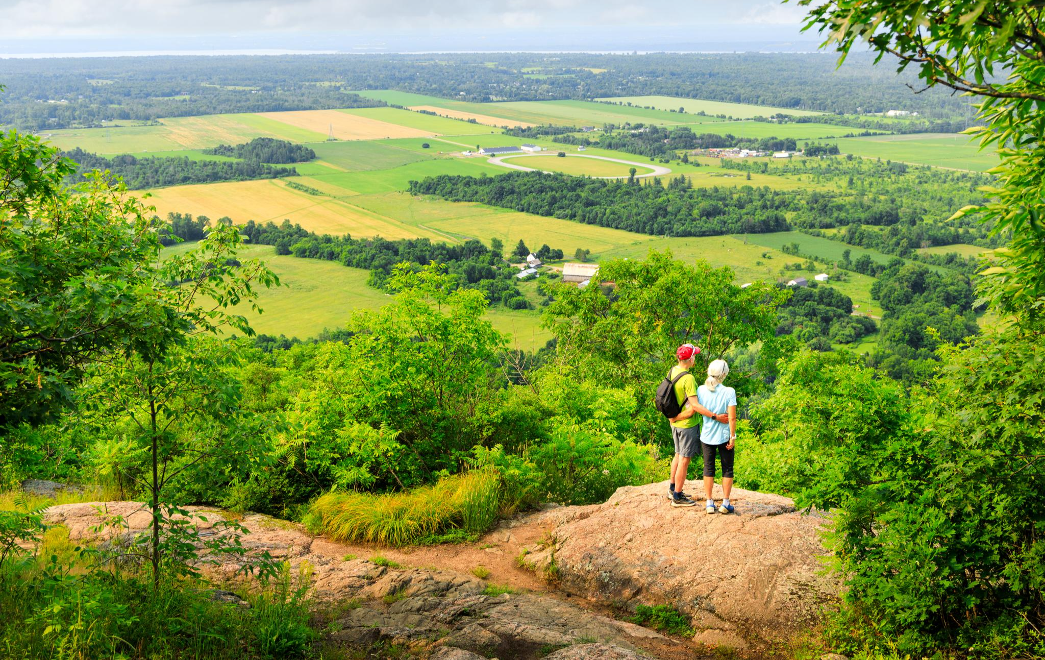
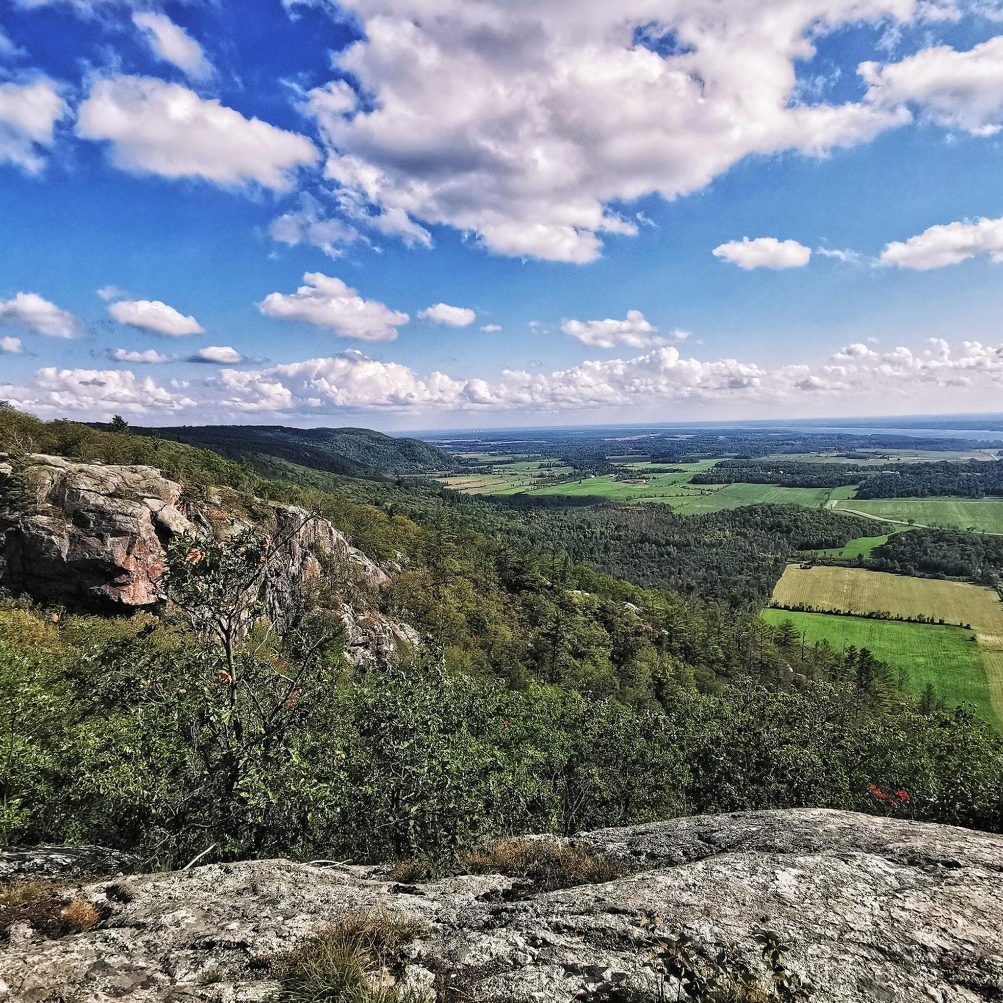
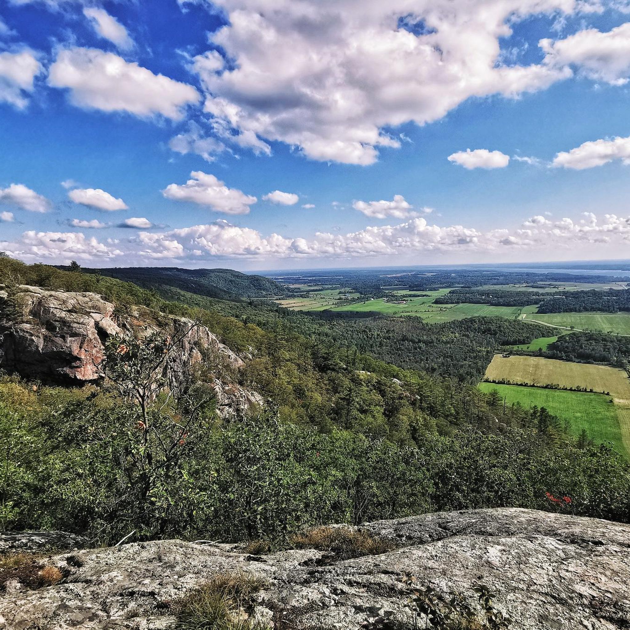
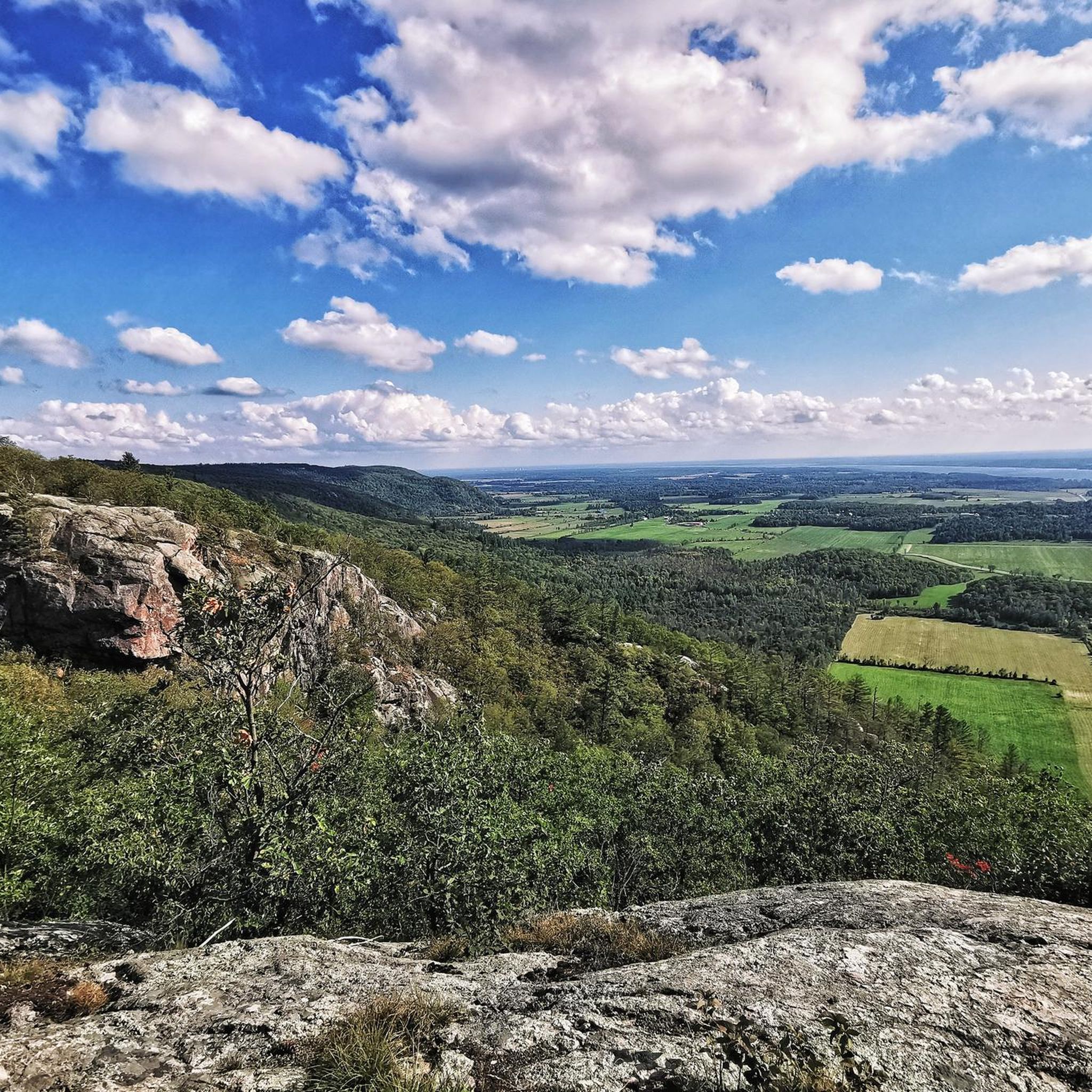
Other adventures around Pontiac

Tips from the Community

Pointe Ramsay is a peaceful riverside pause along the Voie Verte Chelsea. The old rail corridor slips through greenery beside the Gatineau River. It’s a lovely stretch to slow down, listen to the water, and enjoy nice a pocket of nature.
1
0

Chelsea & Co Microbrasserie is a cozy craft brewery right in the heart of Chelsea. It’s a popular spot for both locals and visitors, especially those heading to nearby Gatineau Park for hiking or biking. They brew a variety of hyper-local beers in a relaxed atmosphere, with a tasting room and a lovely outdoor patio, making it a great place to relax after a day of exploring the beautiful trails in the area.
0
0
The Gatineau River flows through the Gatineau Valley before joining the Ottawa River, and is a major waterway in western Quebec. For centuries, it has been an important transportation route for Indigenous peoples and later played a significant role in the area’s logging industry, helping to shape the development of communities along its banks. Today, its forested shoreline, clear waters, and abundant wildlife make it a popular destination for paddling, fishing, and other outdoor recreation.
0
0
Voie Verte Chelsea is a relatively flat gravel multi-use trail that follows a former railway corridor along the Gatineau River. Stretching roughly 22 kilometres, it’s a picturesque and popular route for walking, cycling and running, with beautiful views of the river, and is a great way to connect to neighbourhoods and community destinations across the municipality.
0
0

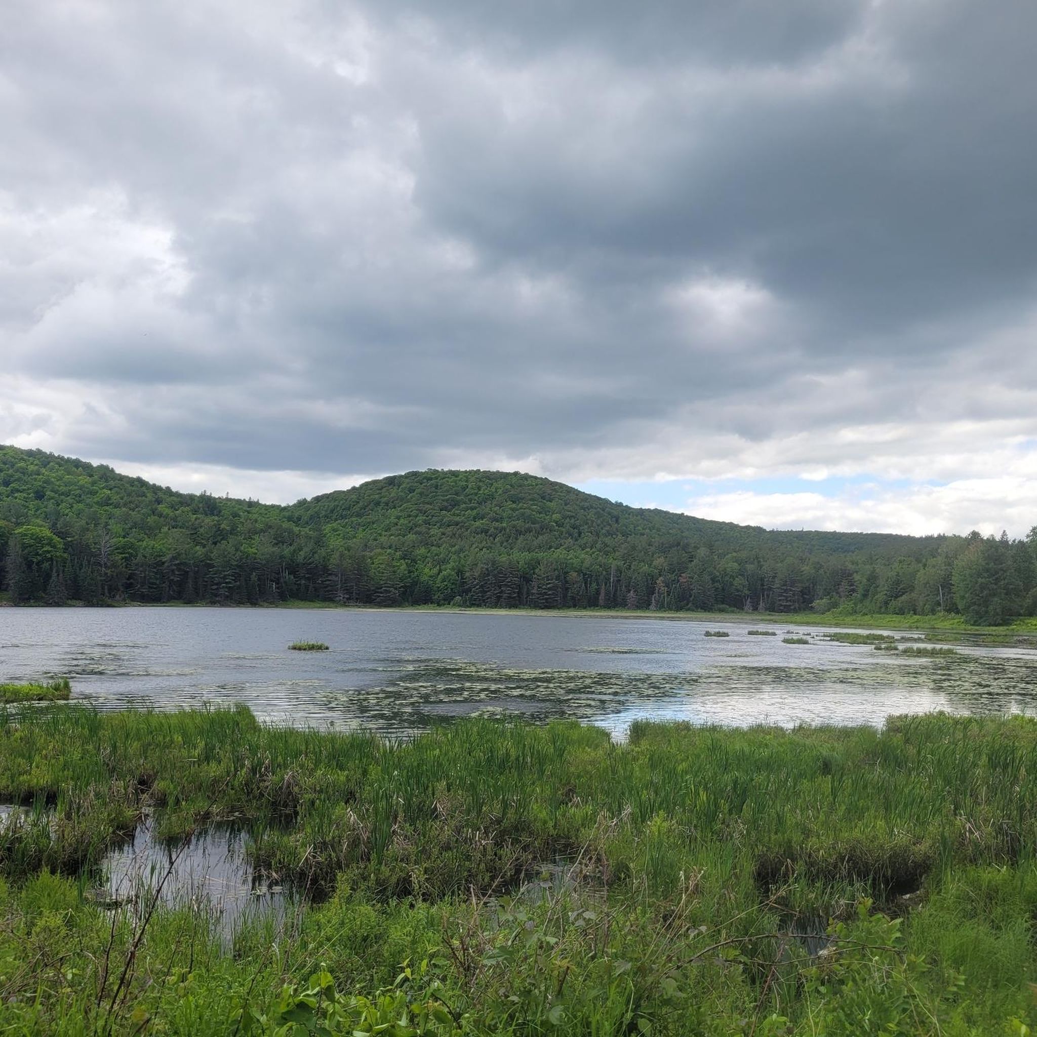
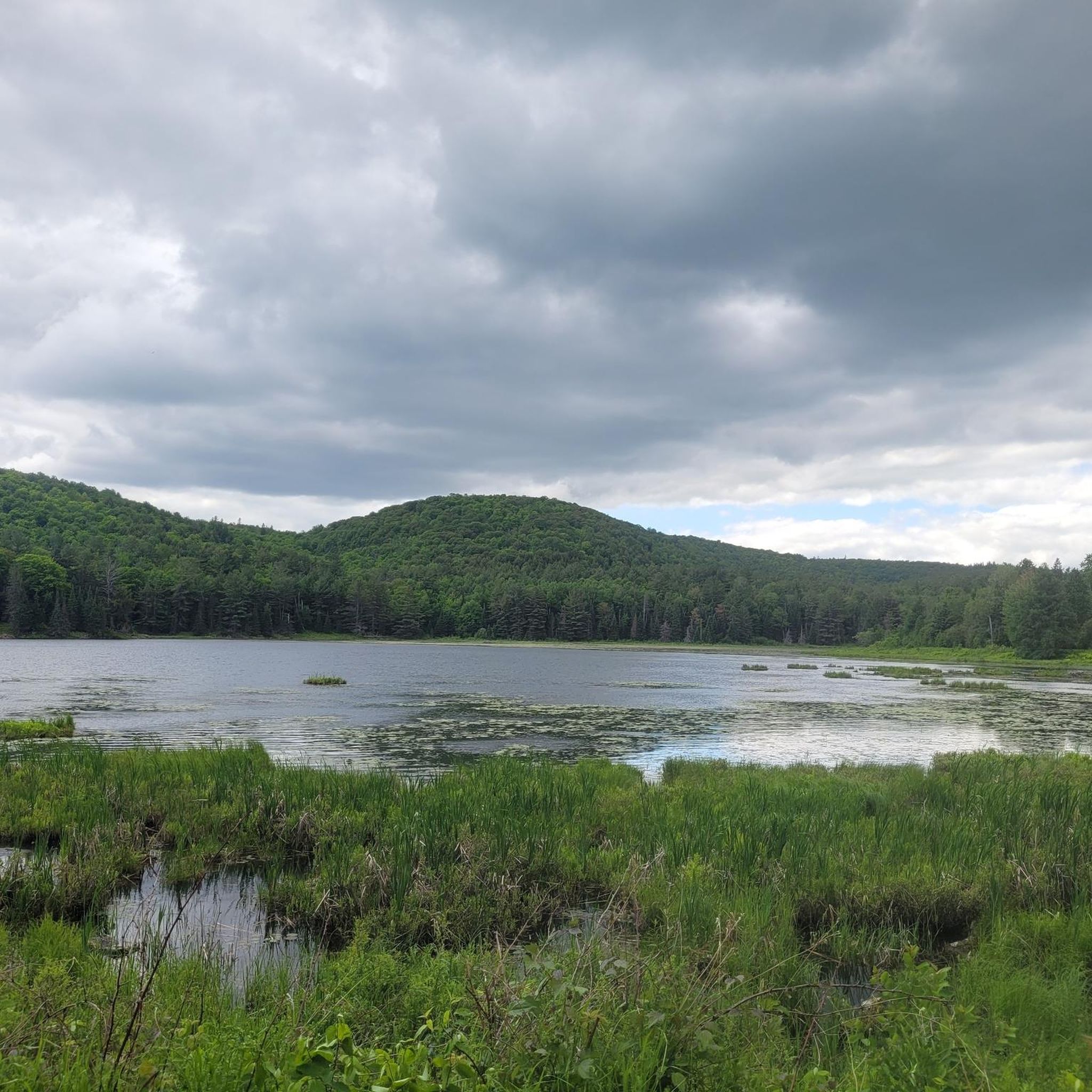
This beach isn't one of the official beaches of Lake Philippe, but its location at the southern end makes it a prime viewpoint. The water stretches its entire length, framed by a lush forest that adds depth. The resulting perspective is breathtaking.
0
0
This section of trail 50 runs alongside Lake Philippe on a wide gravel path. The vegetation thins out in places, offering opportunities to admire the beautiful expanse of water.
0
0

For more tips & tricks join our adventure on YouTube & Instagram @lebruitdugravier
0
0

Wooden covered bridge. Monument. 1997
0
0
Frequently Asked Questions
How many gravel bike trails are available around Pontiac?
There are over 15 gravel bike trails around Pontiac listed on komoot, offering a diverse range of experiences for cyclists. These routes vary in difficulty and length, catering to different skill levels.
What kind of terrain can I expect on gravel bike trails in Pontiac?
Gravel biking around Pontiac features a mix of wooded rolling hills, diverse ecosystems including marshes and ponds, and dedicated gravel paths. The Pontiac Lake Recreation Area, for instance, offers expansive natural settings with varied surfaces. The Paint Creek Trail is known for its smooth, well-maintained crushed-gravel path, suitable for most bike tires.
Are there any easy or family-friendly gravel routes in the Pontiac area?
Yes, there are options for easier rides. The Paint Creek Trail is a popular crushed-gravel path, approximately 10 miles long, known for being smooth and well-maintained, making it suitable for most bike tires and family outings. For a specific easy route, consider the View of power lines and fields – Trans Canada Trail Connection loop from Moodie, which is about 14.8 miles long.
What are some of the more challenging gravel bike trails around Pontiac?
For those seeking a challenge, Pontiac offers several difficult routes. The Wakefield Covered Bridge – Scenic Pathway loop from Chelsea is a demanding 67.8-mile trail with significant elevation gain, taking over 7 hours to complete. Another difficult option is the Gravel Cycle Path – Scenic Pathway loop from Chelsea, spanning 66.1 miles.
What natural features or landmarks can I see along the gravel trails?
The region around Pontiac is rich in natural beauty. You might encounter diverse ecosystems with marshes, ponds, forests, and old farm fields, especially within the Pontiac Lake Recreation Area. For specific points of interest, consider visiting the Pink Lake Lookout or the Champlain Lookout for scenic views. The Waterfall Near McKenzie King Estate is another natural highlight.
Are there any circular gravel bike routes available?
Yes, many of the gravel routes around Pontiac are designed as loops. For example, the Wakefield Covered Bridge – Wakefield Covered Bridge loop from Wakefield is a moderate 23.9-mile circular path, offering a balanced ride with scenic elements. Another option is the Irish Whisky Drop loop from Wakefield, a 20.3-mile moderate route.
What is the best time of year to go gravel biking in Pontiac?
Pontiac offers good gravel biking opportunities across multiple seasons. Spring and fall generally provide pleasant temperatures and beautiful scenery, with autumn showcasing vibrant foliage. Summer is also popular, but be prepared for warmer weather. Always check local weather conditions before heading out.
What do other gravel bikers enjoy most about the trails in Pontiac?
The gravel biking routes in Pontiac are highly rated by the komoot community, with an average score of 4.8 stars from over 5 reviews. Riders often praise the diverse terrain, from smooth crushed-gravel paths like the Paint Creek Trail to more challenging sections within areas like the Pontiac Lake Recreation Area, and the overall scenic beauty of the region's natural landscapes.
Are there specific parking areas for gravel bike trails in Pontiac?
Yes, many popular trails and recreation areas offer dedicated parking. The Paint Creek Trail, for instance, features multiple parking areas and trailheads along its length, allowing for varied ride lengths and convenient access. The Pontiac Lake Recreation Area also provides parking for visitors accessing its trails.
Can I bring my dog on the gravel bike trails in Pontiac?
Many outdoor areas in Pontiac, including parts of the Pontiac Lake Recreation Area and local parks, are dog-friendly. However, specific regulations regarding leashes and waste disposal may vary by trail or park. It's always best to check the rules for the specific trail you plan to ride to ensure a pleasant experience for everyone.
Are there any cafes or places to eat near the gravel biking routes?
While specific cafes directly on every trail might be limited, the city of Pontiac and nearby towns like Rochester, which is connected to the Paint Creek Trail, offer various dining options. You'll find a range of cafes, pubs, and restaurants within a short distance of many trailheads and recreation areas, perfect for a post-ride meal or refreshment.
What is the Pontiac Lake Recreation Area like for gravel biking?
The Pontiac Lake Recreation Area is an expansive 3,745-acre park offering significant opportunities for gravel riding. While it's known for challenging mountain bike trails, it also contains gravel sections that gravel bikes can navigate. The area features a rich mix of marshes, ponds, forests, and old farm fields, providing a diverse and scenic backdrop for your ride.
Most popular attractions around Pontiac

Get inspired with the komoot mobile app


Explore more
Browse the best Gravel rides in other regions.
