The best gravel rides around Novato
4.4
(9)
183
riders
29
rides
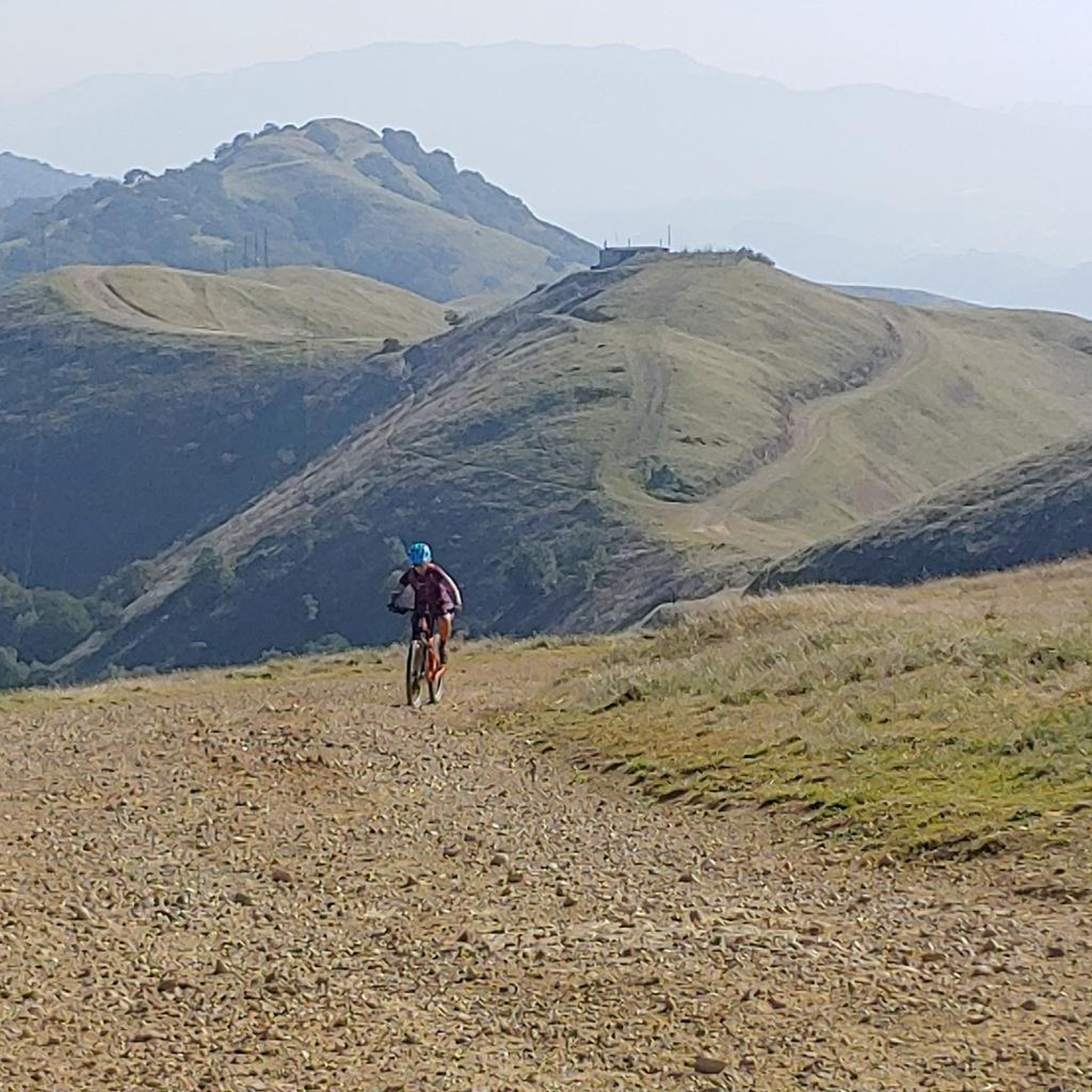
Gravel biking around Novato offers diverse terrain characterized by rolling hills, dense woodlands, and proximity to reservoirs and lakes. The region's landscape includes a network of fire roads and trails, providing varied surfaces for gravel cyclists. Elevations range from moderate climbs to significant ascents, catering to different skill levels. These physical features define the gravel biking experience in the Novato area.
Best gravel bike trails around Novato
- The most popular gravel bike trail is Alpine Dam – Alpine Lake loop from Sleepy Hollow, a 40.5 miles (65.2 km) trail that takes 5 hours 34 minutes to complete. This route features significant elevation gain and scenic views of Alpine Lake.
- Another top favourite among local gravel bikers is Phoenix Lake – Fish Gulch trail junction loop from Fairfax, a moderate 16.9 miles (27.2 km) path. This trail winds through forested areas with views of Phoenix Lake.
- Local gravel bikers also love the Fish Gulch trail junction – Hoo-Koo-E-Koo Fire Road Trail loop from Fairfax, a 24.6 miles (39.6 km) trail leading through varied terrain including fire roads, often completed in about 4 hours 28 minutes.
- Gravel biking around Novato is defined by rolling hills, dense woodlands, and reservoir-side paths. The network offers options for different ability levels, from moderate rides to advanced gravel bike trails near Novato.
- The routes in Novato are highly rated by the komoot community with an average score of 4.7 stars from over 6 reviews. More than 140 gravel bikers have used komoot to explore Novato's varied terrain.
Last updated: July 23, 2026
4.0
(2)
36
riders
65.9km
04:42
1,010m
1,010m
The Alpine Dam – Alpine Lake loop from Sleepy Hollow is a crown jewel among Marin County gravel biking routes, offering an incredible journey through varied landscapes. You'll wind through dense redwood forests, past the tranquil Alpine Lake, and experience the challenging yet rewarding terrain of the Mt. Tam Watershed. Keep an eye out for stunning viewpoints of Mount Tamalpais and even the Pacific Ocean from sections like the "Seven Sisters" on this 40.9-mile (65.9 km) adventure with 3311 feet (1009 metres) of climbing.
This difficult gravel biking route typically takes around 4 hours and 41 minutes, demanding very good fitness and advanced riding skills. For the best experience, it's generally recommended to tackle the loop in a counter-clockwise direction. Be ready for a mix of paved and unpaved surfaces, including challenging climbs and technical descents, and know that some sections might require you to dismount and push your bike.
What makes this one of the most popular gravel routes in Marin County is its combination of demanding terrain and consistently lauded scenery. Beyond the lake and dam, the region boasts diverse landscapes with oak-bay woodlands, savannas, grasslands, and forested hills, all contributing to its visual appeal. You'll also pass through charming Marin County towns, adding to the local flavor of this epic ride.
5.0
(2)
11
riders
24.3km
01:42
130m
130m
Easy gravel ride. Great for any fitness level. Mostly paved surfaces. Suitable for all skill levels.

Sign up for free
5.0
(1)
14
riders
This Bay View Trail – China Camp State Park Village loop offers a diverse gravel biking experience, taking you through lush forests, peaceful meadows, and tidal wetlands with frequent glimpses of San Pablo Bay. You'll navigate a mix of wide singletrack, double track, and fire roads, with some rocky sections adding to the challenge. Keep an eye out for wildlife like egrets and deer, and enjoy the varied scenery that makes this 20.0-mile (32.3 km) route, with its 1498 feet (457 metres) of elevation gain, feel like a true adventure.
Planning your visit is relatively easy, with free parking options along San Pedro Road, though a $3 trail use fee supports park maintenance. The route is multi-use, so cyclists should be courteous to hikers and equestrians, especially on weekends. This difficult route takes approximately 2 hours and 34 minutes, making it a solid commitment for intermediate riders looking for a rewarding outing.
One of the most notable landmarks along the Bay View Trail is the historic China Camp Village, a preserved Chinese-American shrimp fishing village that gives the park its name. This unique feature provides a fascinating historical context to your ride. The park's trails are well-maintained thanks to groups like "Friends of China Camp," ensuring a quality experience for all visitors.
21
riders
76.5km
05:19
1,390m
1,390m
Hard gravel ride. Very good fitness required. Mostly paved surfaces. Suitable for all skill levels.
3
riders
15.9km
01:33
490m
500m
Hard gravel ride. Very good fitness required. Mostly paved surfaces. Suitable for all skill levels.
Get access to more routes and recommendations from other explorers.
Sign up for free
Already have an account?
Our route recommendations are based on thousands of hikes, rides, and runs completed by other people on komoot.
Start today with a free account
Your next adventure awaits.
Login or Signup

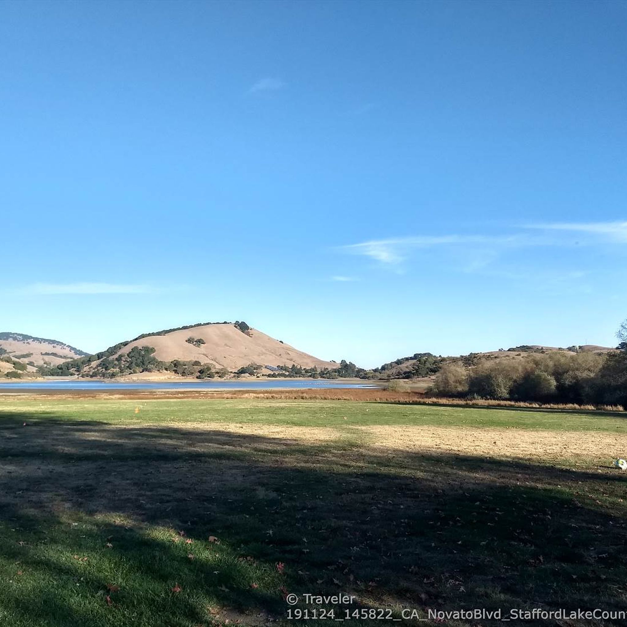
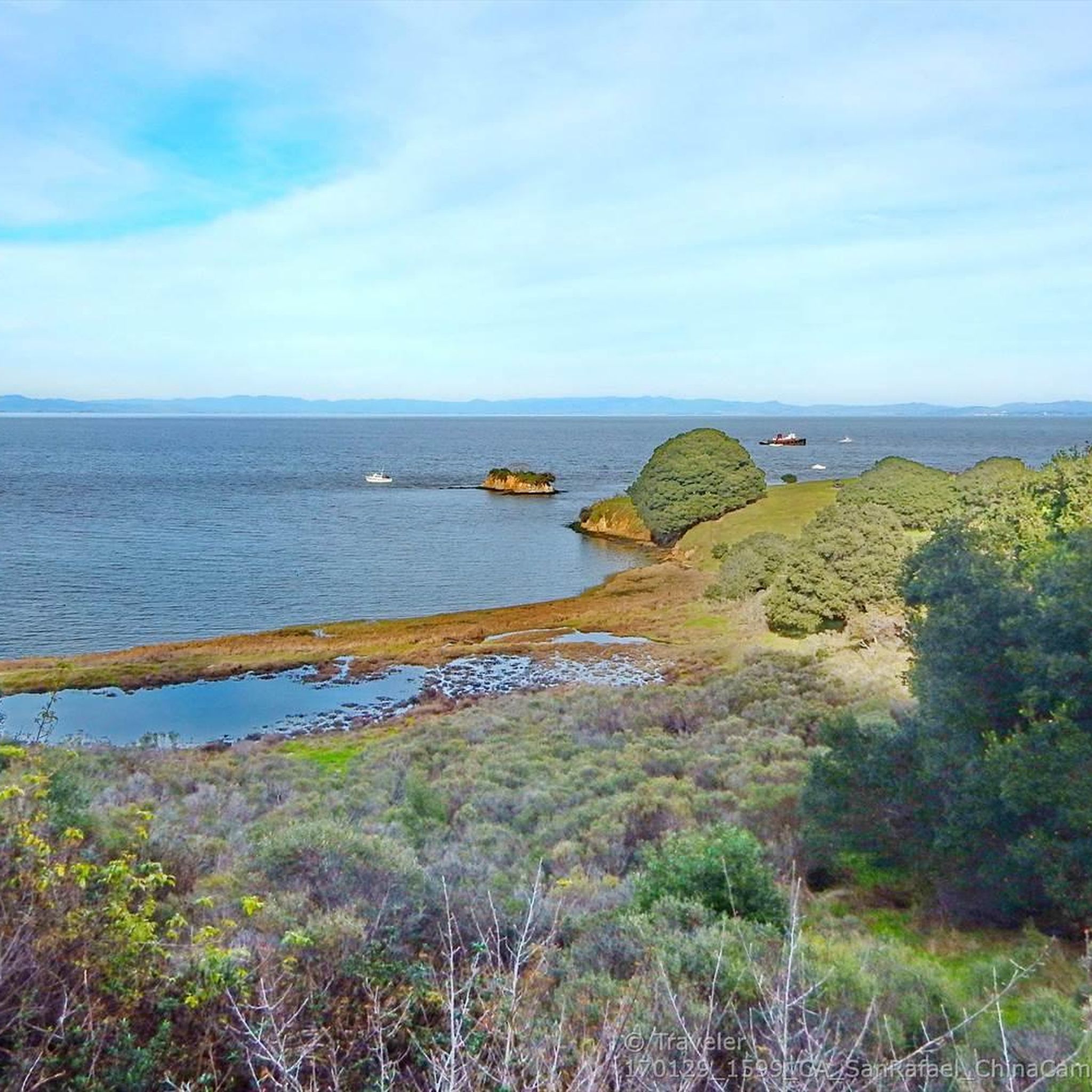
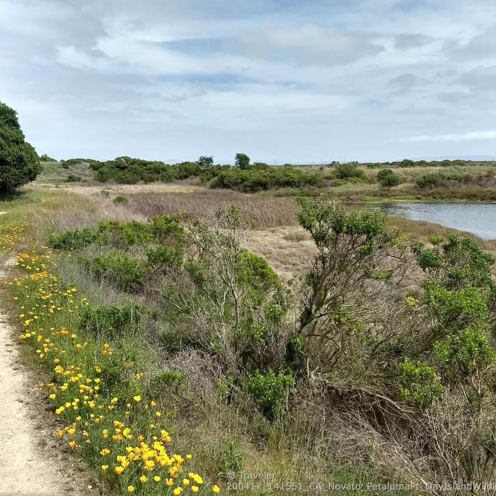
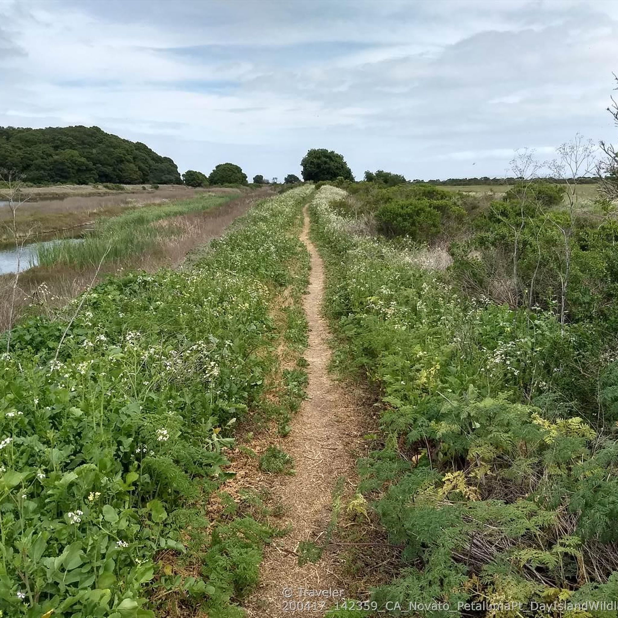
Other adventures around Novato

Tips from the Community

Constructed in 1917 this dam forms Alpine Lake, which sites between Kent and Bon Tempe Lakes. The road across the top of the dam make it a great place to ride on a loop around the lake.
0
0
This lake was formed by the building of Alpine Dam in 1917. It sits between Kent Lake and Bon Tempe Lake, and is popular for a variety of outdoor activities.
0
0


The park pays homage to a 19th-century fishing village of Chinese immigrants who harvested shrimp from the bay. Much of the village has been preserved, and for a couple bucks you can pay to enter and explore the old town and pier.
1
0

Steep heading West can have traffic on SFD
0
0

Loma Alta literally translates to "high hill" and is the highest point in the Loma Alta Open Space Preserve. A few different dirt roads and trails lead to the bald summit that looks over the surrounding hillsides.
0
0

Embark on an adrenaline-fueled mountain biking adventure through Big Rock. The trail reaches its peak at the towering landmark, a colossal rock that adds a unique touch to the experience. Exercise caution on the descent; the pavement can get slippery, adding an exhilarating challenge to this thrilling ride.
0
0

Opening this bike tunnel through the renovated trail tunnel as part of the 2010 redeveloped rail connection from Larkspur Ferry to Santa Rosa closed a crucial gap in the bike commute to San Francisco.
0
0
Frequently Asked Questions
How many gravel bike trails are available around Novato?
Novato offers a good selection of gravel biking opportunities, with over 25 routes available. These range from moderate to difficult, catering to various skill levels.
Are there easy gravel bike trails suitable for beginners in Novato?
While many routes in Novato feature significant elevation, there is at least one easy gravel bike trail available. For those new to gravel biking, it's recommended to start with routes that have less elevation gain and shorter distances to get accustomed to the terrain.
What are some challenging gravel bike routes near Novato?
For experienced gravel bikers seeking a challenge, Novato offers several difficult routes. One notable option is the Alpine Dam – Alpine Lake loop from Sleepy Hollow, which covers 40.5 miles (65.2 km) with over 1000 meters of elevation gain. Another demanding ride is the Fairfax – Big Rock Ridge loop from Fairfax, featuring over 1500 meters of climbing over 52.5 miles (84.4 km).
Can I find family-friendly gravel bike routes in the Novato area?
While many routes in Novato involve moderate to difficult terrain, families looking for a less strenuous ride might consider exploring sections of trails that are flatter or shorter. The region's network of fire roads can offer smoother surfaces, but always check the route details for elevation and distance to ensure it's suitable for all family members.
Are there any loop gravel bike trails in Novato?
Yes, many of the gravel bike trails around Novato are designed as loops, offering a continuous ride without needing to retrace your path. Examples include the Phoenix Lake – Fish Gulch trail junction loop from Fairfax and the Fish Gulch trail junction – Hoo-Koo-E-Koo Fire Road Trail loop from Fairfax.
What kind of scenery can I expect on Novato's gravel bike trails?
Gravel biking in Novato offers diverse and scenic landscapes. You can expect to ride through dense woodlands, experience rolling hills, and enjoy views of reservoirs and lakes, such as Alpine Lake and Phoenix Lake. The trails often provide panoramic vistas of the surrounding natural beauty.
Are there any interesting natural landmarks or attractions near the trails?
Yes, the Novato area is rich in natural attractions. Along or near some routes, you might encounter unique features like the Pygmy (dwarf) sargent cypress forest or the impressive Big Rock near Skywalker Ranch. Additionally, areas like Roy's Redwoods Open Space Preserve offer beautiful forest environments to explore.
What is the best season for gravel biking in Novato?
The Novato area generally offers good gravel biking conditions for much of the year. Spring and fall provide pleasant temperatures and vibrant scenery. Summer can be warm, so early morning rides are often preferred. While winter can bring rain, many fire roads remain rideable, though conditions can be muddy.
How accessible are the gravel bike trails in Novato by public transport?
While some trailheads might be reachable by public transport, many gravel biking routes in Novato, especially those venturing into more remote areas, are best accessed by car. It's advisable to check local bus routes and schedules if you plan to rely on public transport, as options may be limited for direct trailhead access.
Where can I find parking for gravel biking in Novato?
Parking for gravel biking in Novato is typically available at various trailheads and designated parking areas near open space preserves. For routes starting from towns like Fairfax or Sleepy Hollow, you can often find street parking or small public lots. Always check local signage for any parking restrictions.
Are there places to stop for refreshments near the gravel bike trails?
Depending on your chosen route, you may find opportunities for refreshments. Towns like Fairfax, which serve as starting points for several popular routes, offer cafes and eateries. For example, Splitrock Tap & Wheel is a notable spot for cyclists. For longer, more remote rides, it's always best to carry sufficient water and snacks.
What do other gravel bikers say about the trails in Novato?
The gravel biking trails in Novato are highly regarded by the komoot community, with an average rating of 4.7 stars from over 6 reviews. Cyclists often praise the diverse terrain, scenic views, and the challenging yet rewarding climbs. Over 140 gravel bikers have used komoot to explore the varied landscape of Novato.
What should I consider bringing for a gravel bike ride in Novato?
For gravel biking in Novato, essential items include a well-maintained gravel bike, a helmet, plenty of water, and snacks. Given the varied terrain and potential for remote sections, a repair kit (spare tube, pump, multi-tool) is highly recommended. Sunscreen, sunglasses, and appropriate layers for changing weather conditions are also advisable.
Most popular routes around Novato
Most popular attractions around Novato

Get inspired with the komoot mobile app


Explore more
Browse the best Gravel rides in other regions.
