The best gravel rides around Castle Pines
4.3
(23)
323
riders
27
rides
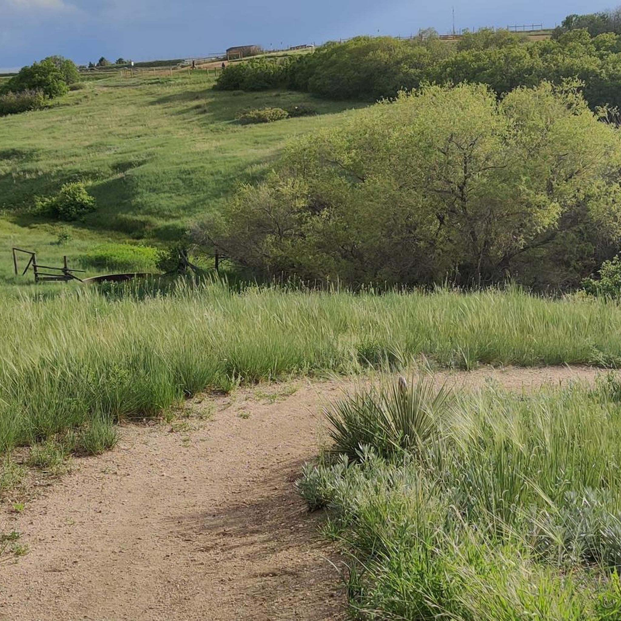
Gravel biking around Castle Pines offers diverse landscapes characterized by rolling hills, extensive pine forests, and panoramic views of the Rocky Mountains. The terrain includes a mix of well-maintained dirt roads, hard-packed gravel, and some paved sections, providing varied riding experiences. Riders can explore open spaces and rugged canyon country, notably within and around Castlewood Canyon State Park. The region's topography presents undulating terrain with elevation changes suitable for gravel cycling.
Best gravel bike trails around Castle Pines
- The most…
Last updated: October 2, 2026
4.5
(2)
16
riders
23.6km
01:55
310m
310m
Moderate gravel ride. Good fitness required. Mostly paved surfaces. Suitable for all skill levels.
5.0
(2)
19
riders
49.4km
03:41
590m
590m
Hard gravel ride. Very good fitness required. Mostly paved surfaces. Suitable for all skill levels.

4.5
(2)
17
riders
Moderate gravel ride. Good fitness required. Mostly paved surfaces. Suitable for all skill levels.
13
riders
26.8km
01:59
420m
420m
Moderate gravel ride. Good fitness required. Mostly paved surfaces. Suitable for all skill levels.
11
riders
Moderate gravel ride. Good fitness required. Mostly paved surfaces. Suitable for all skill levels.
Get access to more routes and recommendations from other explorers.
Already have an account?
Our route recommendations are based on thousands of hikes, rides, and runs completed by other people on komoot.
Start today with a free account
Your next adventure awaits.
Tips from the Community

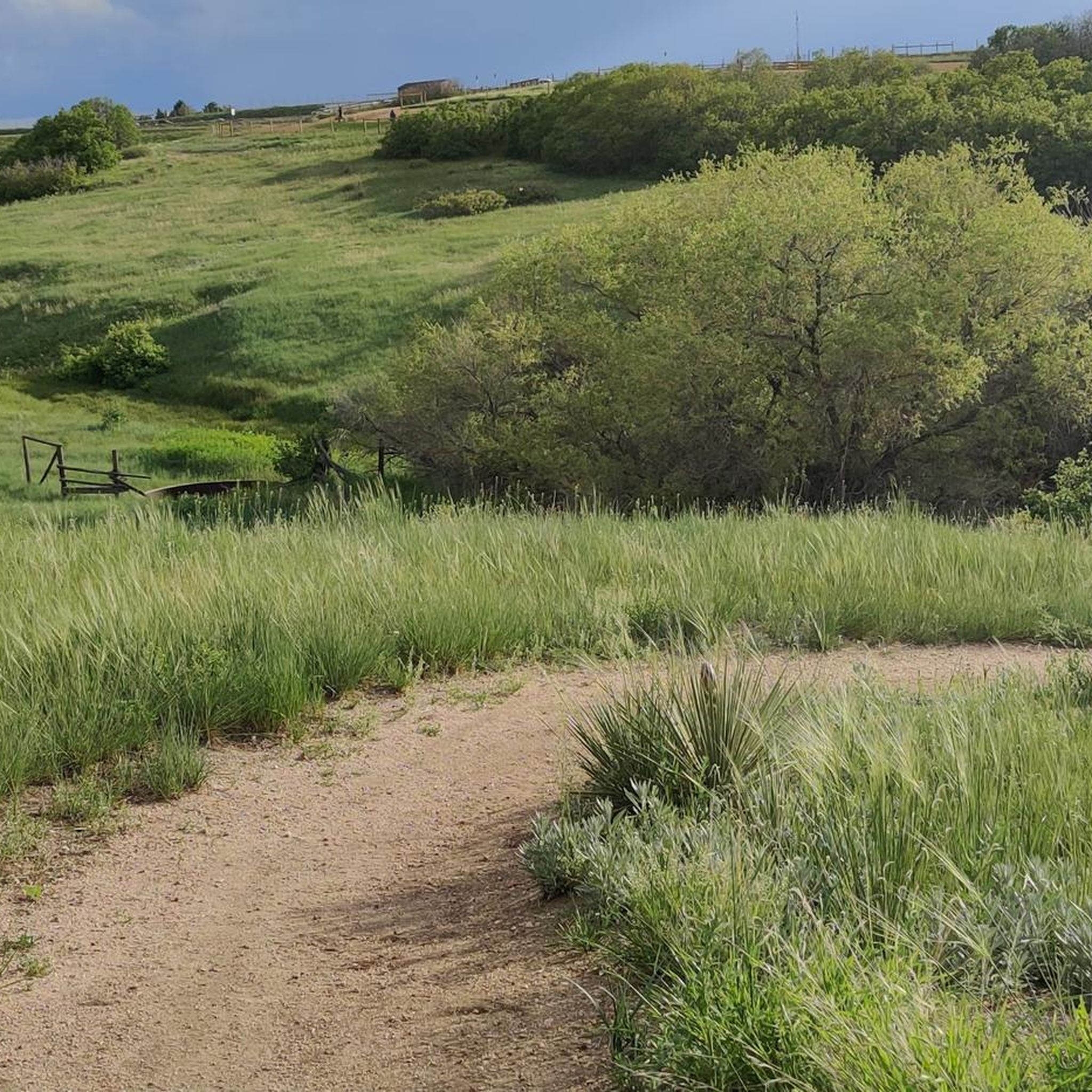
Dad Clark Natural Area runs along Dad Clark Gulch in Highlands Ranch. It features a mix of paved and dirt paths with open views and gentle climbs, winding alongside small familly frien parks—a nice, low-key spot for a ride.
0
0


The Bluffs Regional Park Trail is an almost 3-mile long trail through Bluffs Regional Park. It is hilly but not technically difficult, so it is a good trail for all levels.
0
0

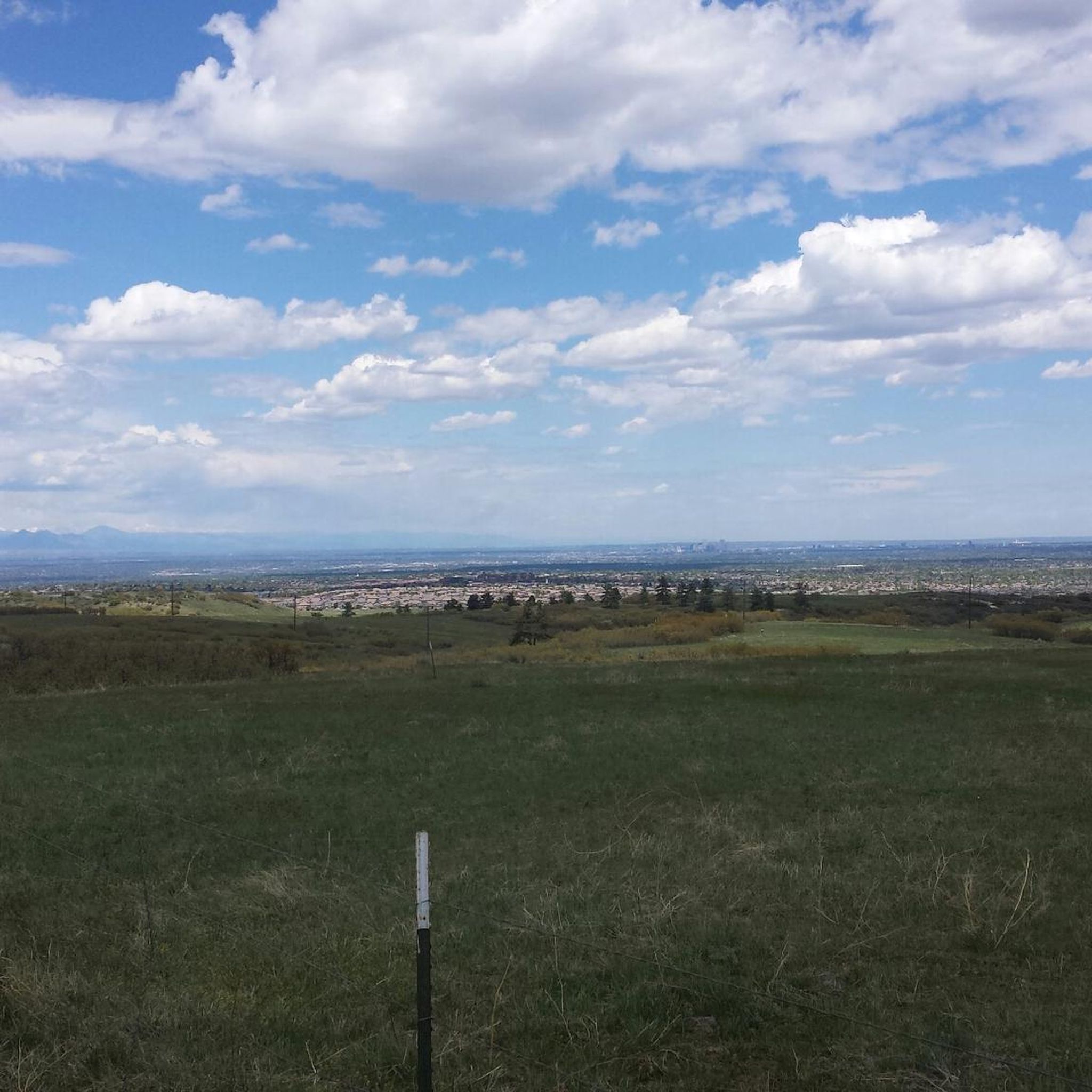
When you put in the effort to climb to the top of the Incline, you get a great view of the Front Range, it's called payback!
0
0
Great view of the Front Range, always at good spot to stop and take in the view.
0
0

The West Big Dry Trail is a mostly singletrack (with some double-track) unpaved path that passes through a number of parks and open spaces in the natural areas and regional parks inside Douglas County. The path is widely used for trail running, biking, walking, and commuting.
0
0

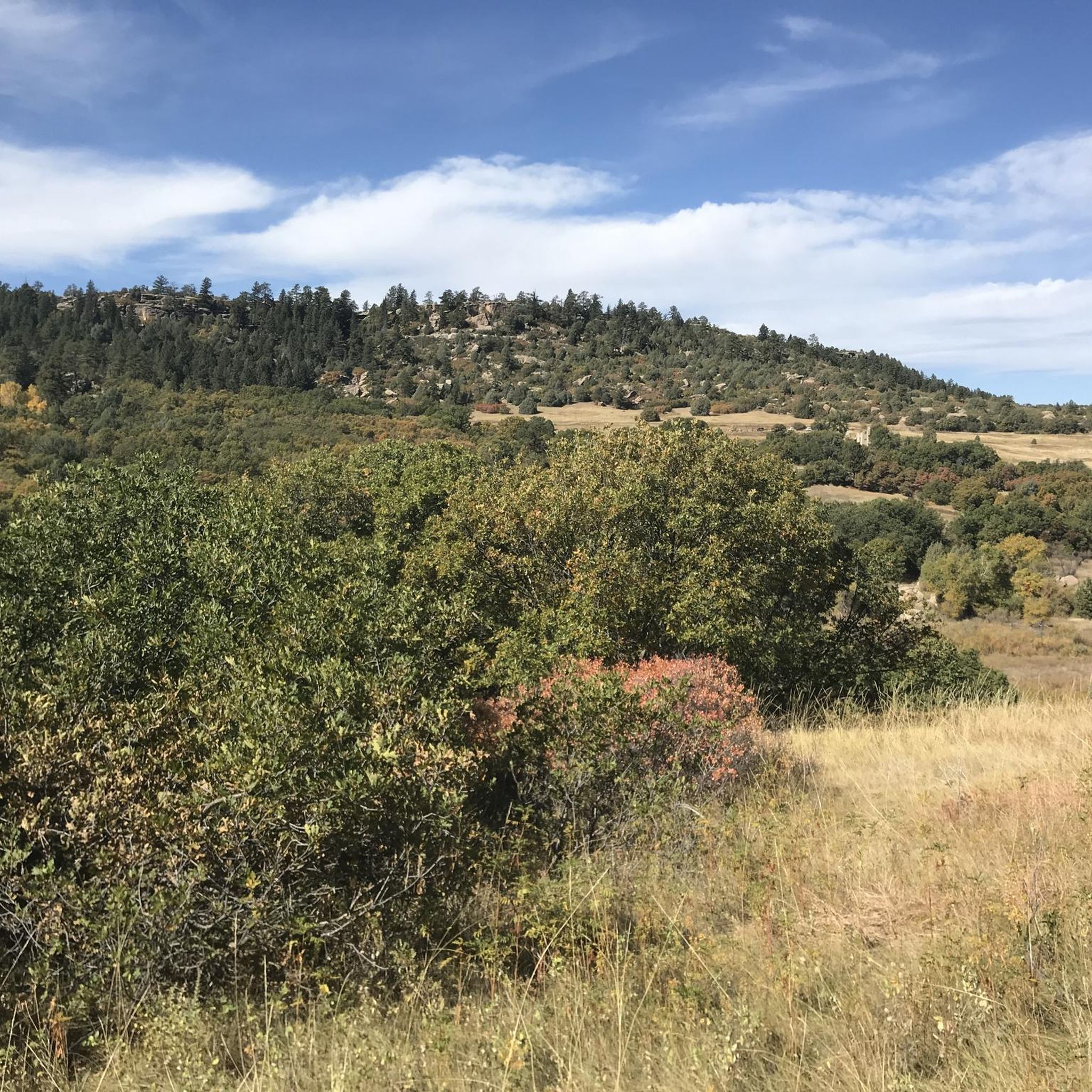
Highlands Point is a peak and great viewpoint in the Highlands Ranch Community Association Backcountry Wilderness Area. From this spot along the trail, you can see the nearby towns and impressive mountain ranges.
0
0

Nice little trail system managed by Highlands Ranch Community Association. The usage is only permitted for their members and accompanied guests.
0
0
Frequently Asked Questions
How many gravel bike trails are there in Castle Pines?
Castle Pines offers a wide selection of gravel biking routes, with over 30 trails available to explore. These routes cater to various skill levels, from moderate to difficult, ensuring there's something for every gravel cyclist.
What is the best time of year for gravel biking in Castle Pines?
Thanks to Colorado's abundant sunshine, with around 300 clear days annually, gravel biking in Castle Pines is enjoyable year-round. Spring and fall offer pleasant temperatures and vibrant scenery, while summer provides long daylight hours. Even winter can be suitable on clear days, though conditions may vary.
Are there any easy gravel bike trails for beginners in Castle Pines?
While many routes in Castle Pines are rated moderate to difficult, the area's extensive trail networks, including the East/West Regional Trail, offer sections suitable for less experienced riders. These trails often feature well-maintained dirt roads and hard-packed gravel, providing a good introduction to gravel biking. For a moderate option, consider the East/West Regional Trail loop from Rock Canyon High School.
Can I find challenging gravel bike routes in Castle Pines?
Yes, Castle Pines offers several challenging gravel bike routes with significant elevation changes and varied terrain. For a more demanding ride, check out the Bluffs Regional Park – Highlands Point Viewpoint loop from Sky Ridge, which is a difficult 29.9-mile path featuring unpaved surfaces and expansive views. Another challenging option is the Technical Rock Features loop from Rosie Rueter Trailhead.
What kind of terrain can I expect on Castle Pines gravel bike trails?
Gravel biking in Castle Pines features diverse terrain, including rolling hills, lush pine forests, and rugged canyon country. You'll encounter a mix of well-maintained dirt roads, hard-packed gravel, and some paved sections. The topography provides undulating terrain with elevation changes, offering a varied and engaging riding experience.
Are there any scenic routes with mountain views?
Absolutely! Many gravel routes in Castle Pines offer stunning panoramic views of the Rocky Mountains, including prominent peaks like Pikes Peak. Areas like Bluffs Regional Park and routes passing through open fields provide expansive vistas. Elk Ridge Park also offers an elevated observation deck for breathtaking views.
What attractions can I see along the gravel bike trails?
While gravel biking, you can explore several natural and historical attractions. The East/West Regional Trail and Cherry Creek Trail are significant trail systems themselves. You might also encounter the The Homestead, a historical site, or enjoy the natural beauty of Hidden Mesa Open Space.
Are there loop trails available for gravel biking in Castle Pines?
Yes, many gravel biking routes in Castle Pines are designed as loops, allowing you to start and end at the same point. Examples include the East/West Regional Trail loop from Rock Canyon High School and the Bluffs Regional Park – Highlands Point Viewpoint loop from Sky Ridge.
Where can I park when accessing gravel bike trails in Castle Pines?
Many trailheads and parks in the Castle Pines area, such as Rock Canyon High School, Sky Ridge, and Rosie Rueter Trailhead, offer designated parking areas for trail access. Specific parking availability can vary by location, so it's advisable to check the starting point of your chosen route for details.
What do other gravel bikers say about the trails in Castle Pines?
The gravel biking routes in Castle Pines are highly rated by the komoot community, with an average score of 4.25 stars from over 5 reviews. Riders often praise the diverse landscapes, the mix of challenging and moderate terrain, and the stunning views of the Rocky Mountains.
Are there any trails that pass through Castlewood Canyon State Park?
Yes, Castlewood Canyon State Park is a key feature of the local gravel biking scene. Routes like the 'Castlewood Canyon Figure-8 Groad' (not listed in this guide but mentioned in region research) offer picturesque rides through open fields, pine forests, and the canyon itself, providing both natural beauty and historical context.
Are there any gravel routes that connect to the East/West Regional Trail?
The East/West Regional Trail is a significant multi-use trail in the area, spanning approximately 27 miles one-way with numerous connectors. Many gravel routes, such as the East/West Regional Trail loop from Rock Canyon High School, utilize sections of this trail, allowing for varied and extended rides.
Most popular attractions around Castle Pines

Get inspired with the komoot mobile app


Explore more
Browse the best Gravel rides in other regions.
