The 18 Most Amazing Peaks around Argenbühl
Best mountain peaks around Argenbühl are found in a hilly pre-Alpine region of Swabia in Baden-Württemberg, Germany. The municipality's elevation ranges from 662 to 761 meters above sea level, characterized by an undulating landscape rather than towering peaks. While traditional mountain peaks are not within its administrative boundaries, the area offers elevated points and natural features that provide scenic views and a mountain-like experience. These natural features and viewpoints are popular for hiking trails around Argenbühl.
Best mountain peaks around…
Last updated: July 7, 2026
Schwarzer Grat Observation Tower
Highlight • Viewpoint
Translated by Google •
Tip by

Riedholzer Kugel (1,068 m) – Highest point in West Allgäu
Highlight • Summit
The places and peaks visible in the distance are on the one …
Translated by Google •
Tip by

Sign up now to discover places like this
Get recommendations on the best single tracks, peaks, & plenty of other exciting outdoor places.
Sign up for free
Riedholzer Kugel
Highlight • Summit
Translated by Google •
Tip by

St. Stephen's Chapel in Genhofen
Highlight • Religious Site
Translated by Google •
Tip by

Siggener Höhe
Highlight • Viewpoint
Map with summit names available.
Translated by Google •
Tip by

Sign up for free to discover even more peaks around Argenbühl.
Sign up for free
Already have an account?
Start today with a free account
Your next adventure awaits.
Login or Signup
Popular around Argenbühl
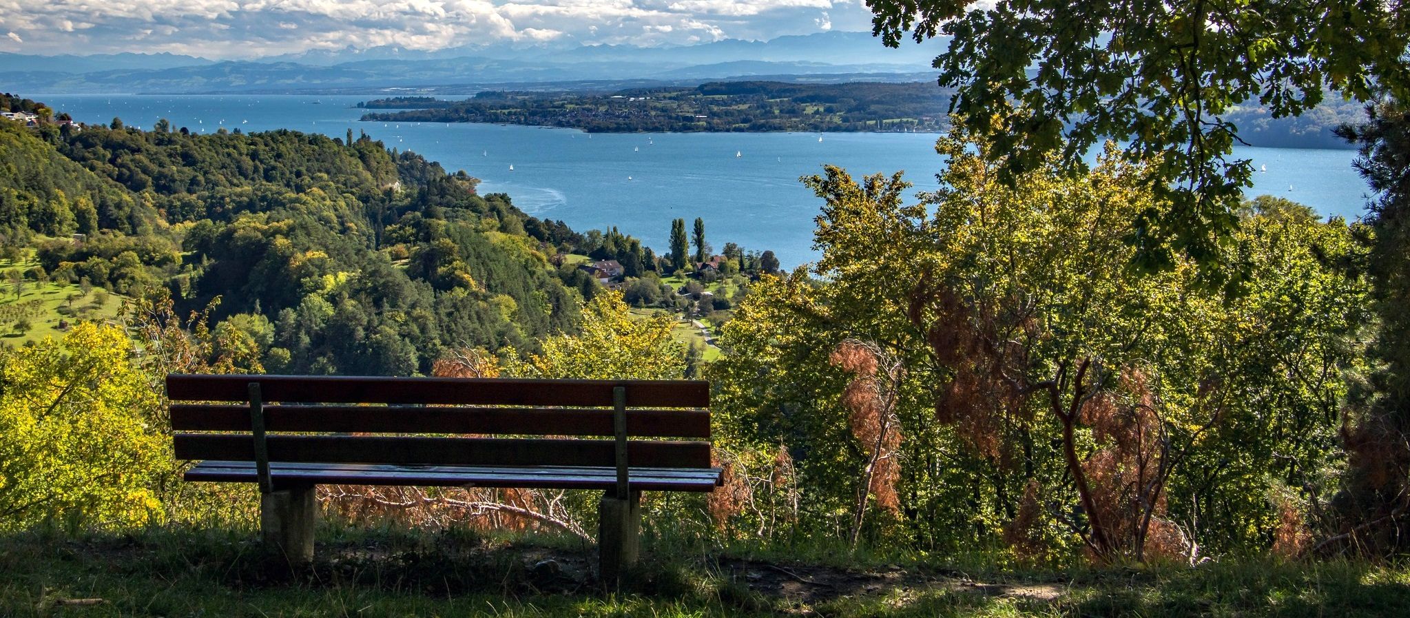
Heuberg-Allgäu Trail – From the Swabian Alb to Alpine foothills
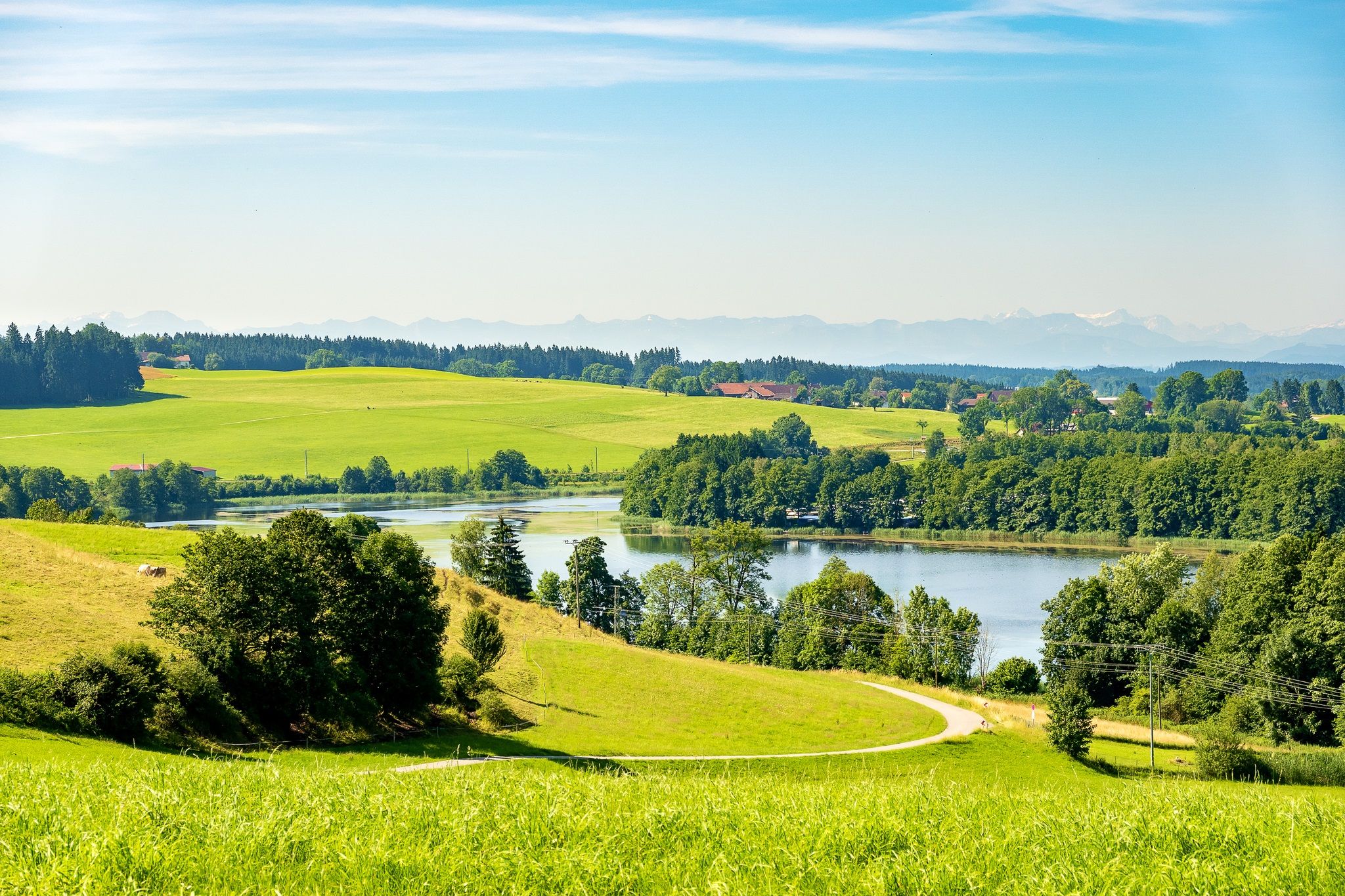
Hill country with alpine views – loops in the Wüttemberg Allgäu
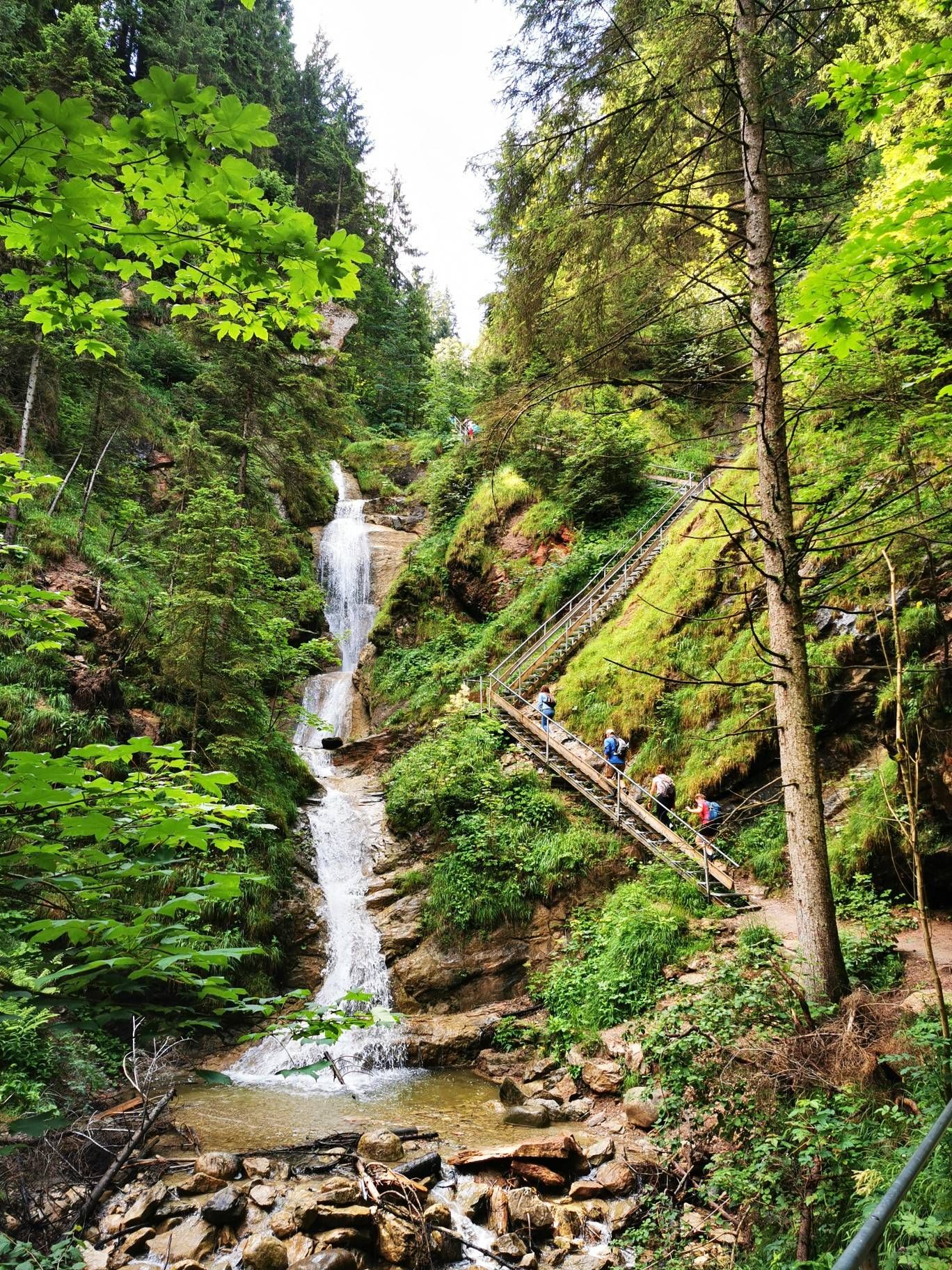
Discover Alpine lakes on the Watercourse Route – Allgäu hiking trilogy
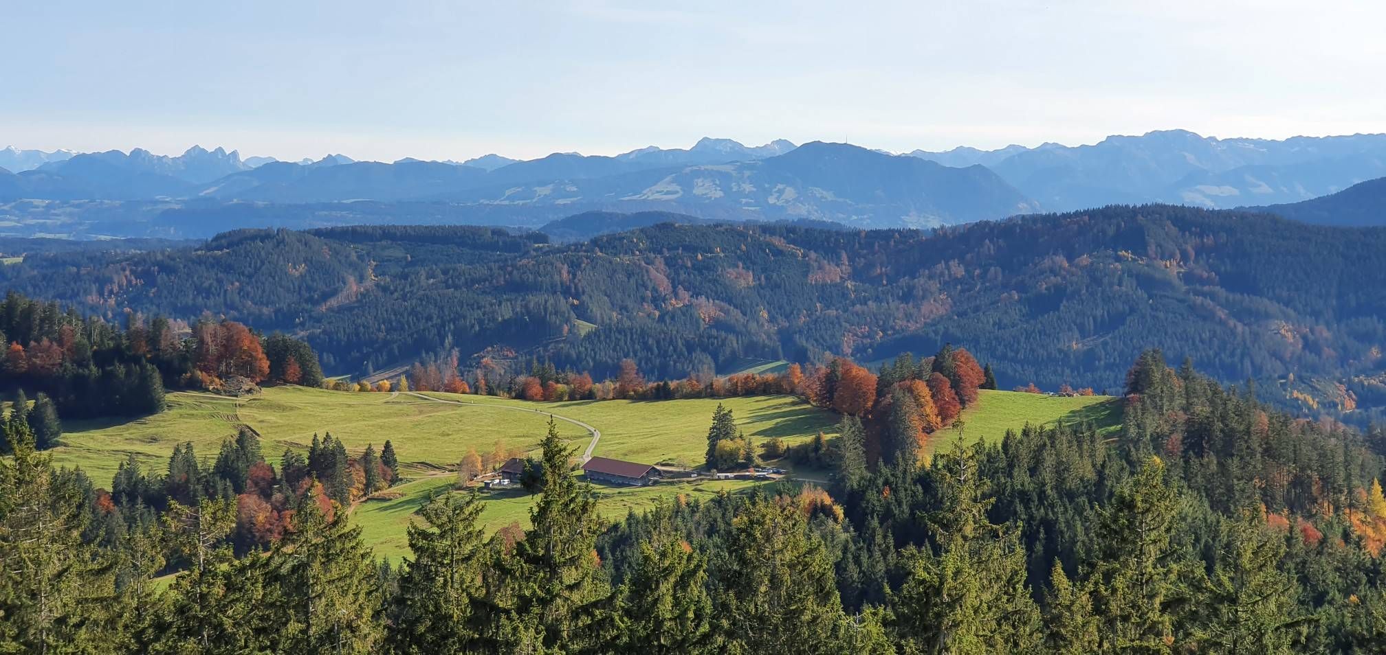
Alpine foothills on the Meadow Walkers’ Route – Allgäu hiking trilogy
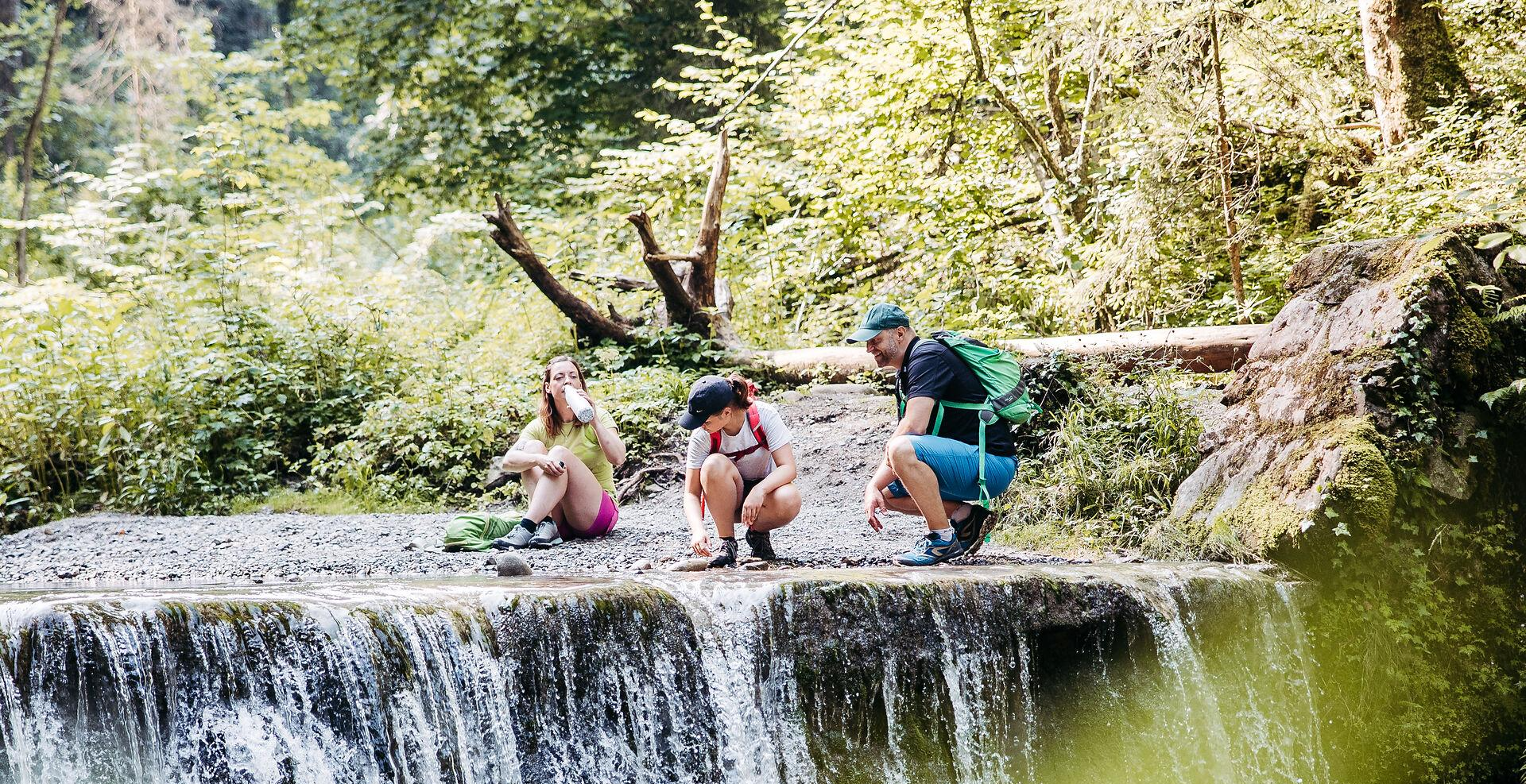
Westallgäuer Wasserwege
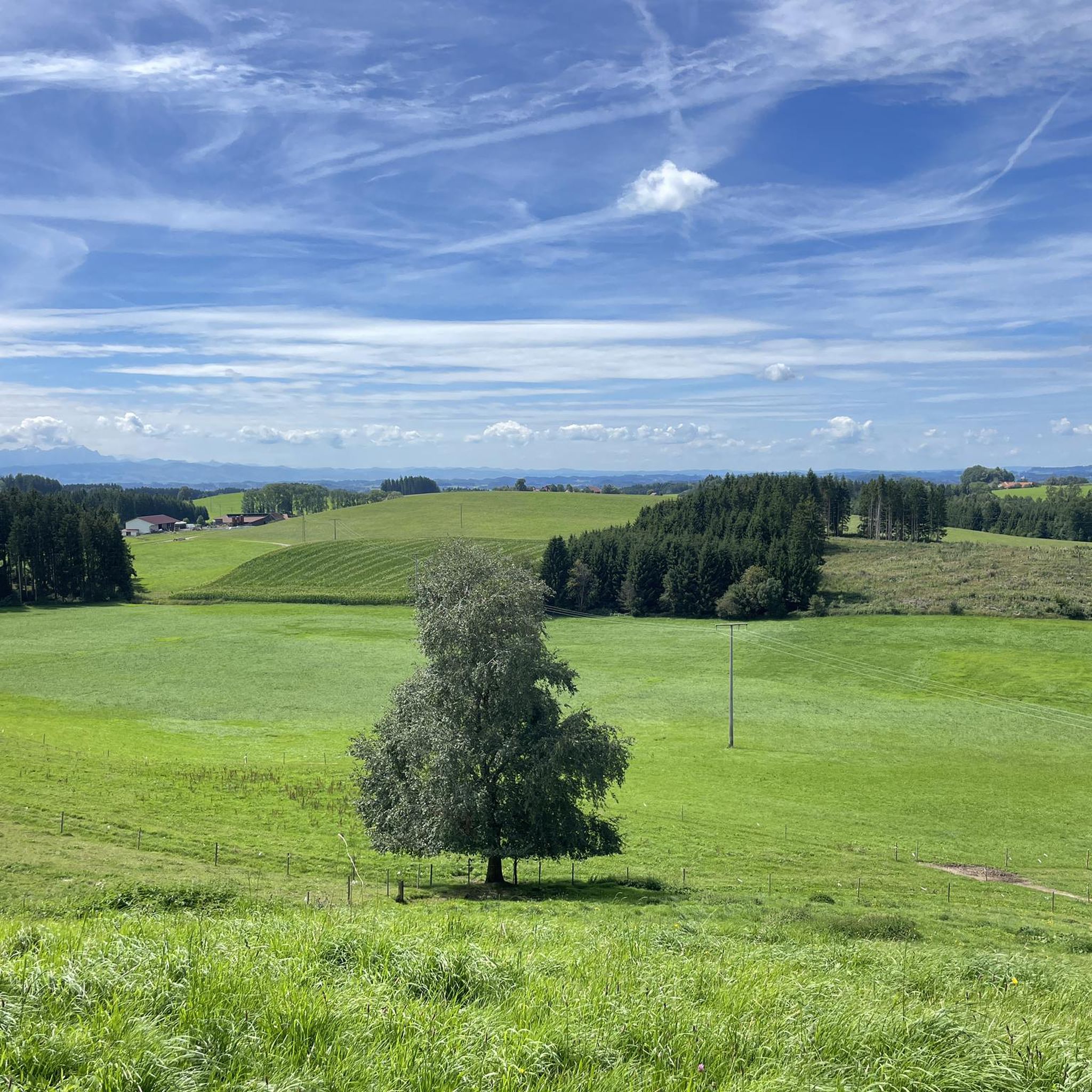
Hiking around Argenbühl
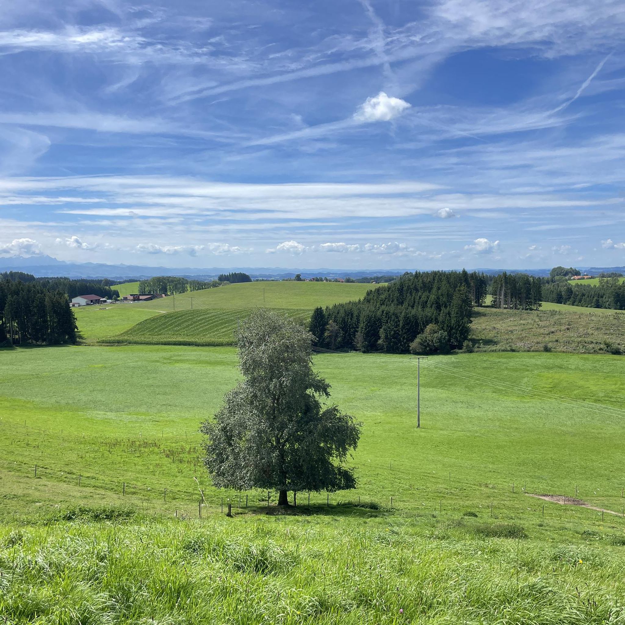
Cycling around Argenbühl
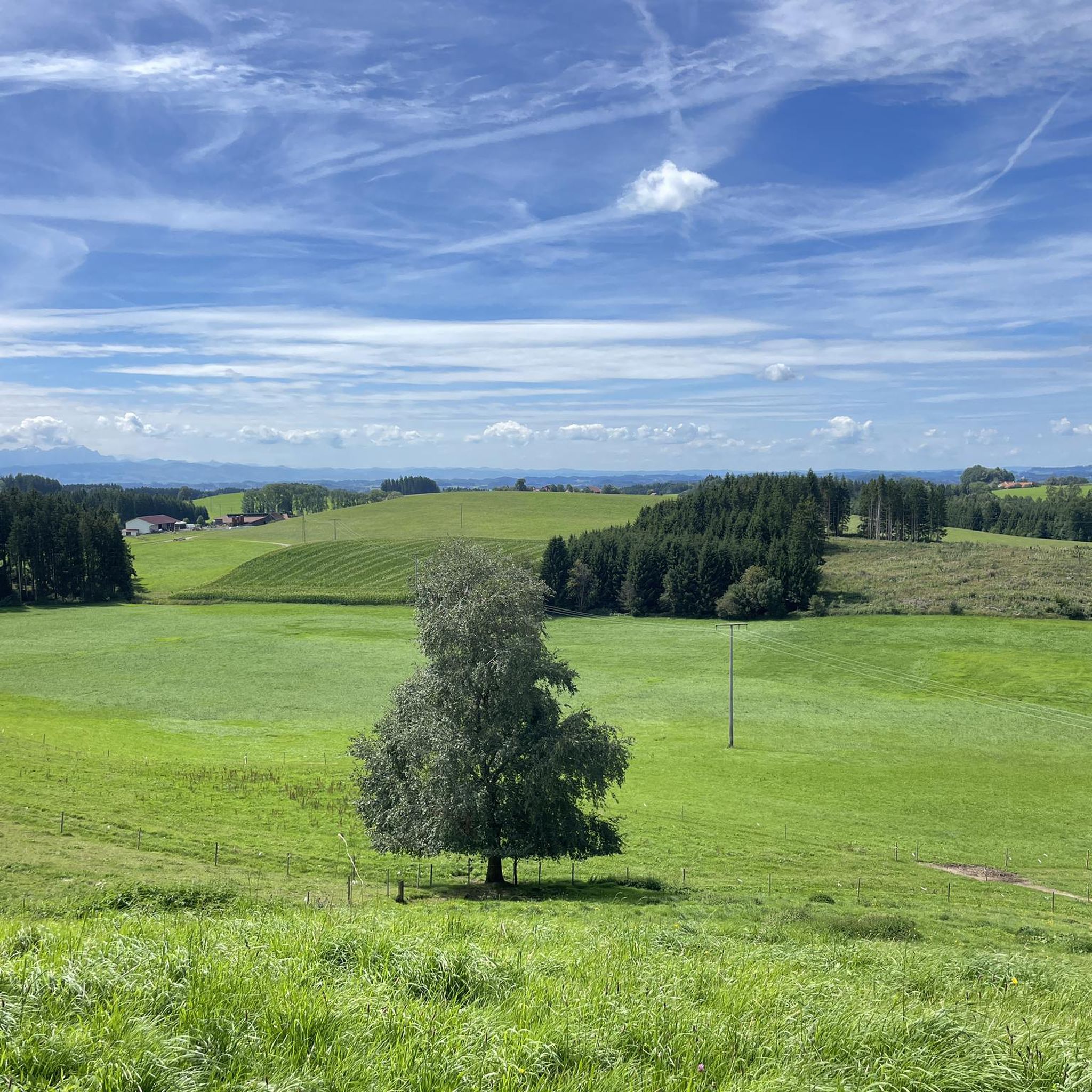
MTB Trails around Argenbühl
Road Cycling Routes around Argenbühl
Running Trails around Argenbühl
Other adventures around Argenbühl


Tips from the Community

A very nice destination for a snowshoe hike.
2
0

Small, but very beautiful old chapel! Very photogenic as well :)
1
0

Siggener Höhe, great rest area with tables and benches and magnificent views
1
0

Great view with information board showing which mountain peaks you can see, from Zugspitze to Säntis. There are also a few tables and benches that invite you to linger.
0
1

Wonderful vantage point with great views of the Pfänder ridge, the Hochgrat and as far as Switzerland
1
0

Great views of the Lake Constance area as well as Switzerland and the Alps
1
0


The last 150 meters in the gully are tricky (at least for me). Beautiful platform with an overview board at the top. It goes down perfectly diagonally across the meadow.
2
0
Frequently Asked Questions
What are the most prominent elevated points and viewpoints around Argenbühl?
While Argenbühl is known for its hilly landscape rather than towering peaks, several elevated points offer fantastic views. The most notable include the Riedholzer Kugel (1,068 m), which is the highest point in West Allgäu and provides a great panorama of the Allgäu. Another must-visit is the Observation tower and playground at Schwarzer Grat, an eight-story tower offering expansive views stretching to Lake Constance and Switzerland on clear days.
Are there family-friendly options for exploring the elevated areas near Argenbühl?
Yes, the region offers several family-friendly spots. The Observation tower and playground at Schwarzer Grat is particularly suitable for families, featuring a playground for children and sheltered seating areas. The area around the tower is also a great starting point for easy walks.
What natural features, besides elevated points, can I explore in the Argenbühl surroundings?
Beyond the viewpoints, a significant natural attraction is the Eistobel Waterfalls. This impressive gorge features waterfalls and offers a unique natural spectacle that changes with the seasons. It's particularly enjoyable on hot days due to its shade and proximity to the water, and transforms into a magical icy landscape in winter.
What kind of hiking trails can I find near Argenbühl's elevated points?
The area around Argenbühl offers a variety of hiking trails, from easy walks to more challenging routes. For example, you can find trails leading to the Riedholzer Kugel, which can be quite demanding with stony paths and root formations, requiring good basic fitness. Many trails offer excellent views of the pre-Alpine landscape and distant Alps. You can find more detailed routes in the Mountain Hikes around Argenbühl guide.
What is the best time to visit Argenbühl for hiking and enjoying the views?
The region is beautiful year-round. Summer offers pleasant conditions for hiking and clear views from observation points like the Schwarzer Grat. In winter, places like the Eistobel Waterfalls transform into a magical landscape with icicle formations, though suitable equipment and sure-footedness are essential for icy conditions. Always check local weather forecasts before heading out.
Are there any historical or cultural sites near the elevated points in Argenbühl?
Yes, the St. Stephen's Chapel in Genhofen is a notable historical site. This Gothic chapel, built in the 14th century, is beautifully situated in the countryside and holds historical significance as a stop on the medieval salt road. It offers a moment of reflection for those interested in the region's past.
What other outdoor activities are available near these elevated points?
Besides hiking, Argenbühl is excellent for cycling. You can explore various routes, from moderate to difficult, that take you through scenic landscapes and offer panoramic views. For cycling enthusiasts, guides like Cycling around Argenbühl and Road Cycling Routes around Argenbühl provide detailed information on routes like the 'Anticipation of the Alps' or 'Kugelpass'.
What do visitors particularly enjoy about the elevated points and natural features in Argenbühl?
Visitors consistently praise the magnificent panoramic views, especially from the observation towers like the Schwarzer Grat Observation Tower, which offers an Alpine panorama from the Zugspitze to Säntis. The natural beauty of the Eistobel gorge and the peaceful, scenic atmosphere of the pre-Alpine landscape are also highly appreciated.
Can I bring my dog on the hiking trails around Argenbühl's elevated points?
Many trails in the Argenbühl region are dog-friendly, allowing you to enjoy the natural beauty with your canine companion. However, it's always advisable to keep dogs on a leash, especially in nature protection areas or near livestock, and to be mindful of other hikers. Specific rules may apply in certain areas, so look for local signage.
Are there facilities like cafes or restaurants near the hiking trails and viewpoints?
Yes, you can find facilities near some of the popular spots. For instance, the kiosk at the Schwarzer Grat Observation Tower is open on weekends and bank holidays in good weather during summer. Additionally, the surrounding villages and towns offer various cafes, pubs, and restaurants where you can refuel after your outdoor adventures.
What is the elevation range within the Argenbühl municipality?
The municipality of Argenbühl itself has an elevation range from 662 to 761 meters (2172 to 2497 ft) above sea level, characterized by its undulating, hilly landscape.
Is public transport available to reach hiking trails or viewpoints in Argenbühl?
While specific public transport options directly to every trailhead might be limited, Argenbühl is connected by local bus services. It's recommended to check the local public transport schedules for routes that can bring you closer to the starting points of popular hikes or viewpoints. Planning your journey in advance is always a good idea.
Most popular routes around Argenbühl
Most popular attractions around Argenbühl

Get inspired with the komoot mobile app


Explore more
See even more amazing summits around Argenbühl with these guides:
