The best gravel rides in San Lorenzo Valley Water District
5.0
(1)
15
riders
3
rides
Gravel biking in San Lorenzo Valley Water District encompasses a diverse landscape characterized by magnificent redwood forests, winding river valleys, and varied mountainous terrain. While specific trails managed by the San Lorenzo Valley Water District may not permit bikes, the broader San Lorenzo Valley region offers extensive trail systems suitable for gravel biking. These routes often combine fire roads and paths through ancient redwood groves with ascents providing scenic views. The area's proximity to the Santa Cruz Mountains and the…
Last updated: October 1, 2026
4
riders
58.1km
04:30
1,140m
1,140m
Hard gravel ride. Very good fitness required. Mostly paved surfaces. Suitable for all skill levels.
5.0
(1)
3
riders
73.7km
06:02
1,640m
1,640m
Hard gravel ride. Very good fitness required. Mostly paved surfaces. Suitable for all skill levels.

4
riders
49.2km
04:18
1,140m
1,150m
Hard gravel ride. Very good fitness required. Mostly paved surfaces. Suitable for all skill levels.
Our route recommendations are based on thousands of hikes, rides, and runs completed by other people on komoot.
Start today with a free account
Your next adventure awaits.

Tips from the Community

Redwood trees are some of the tallest and oldest living organisms on Earth. Towering up to 350 feet, these majestic trees can live for over 2,000 years. Found primarily along the coast of Northern California, redwoods thrive in the cool, foggy climate. Their thick, reddish bark provides protection from fire and insects, making them incredibly resilient. Walking among these giants is a humbling experience, with their sheer size and age creating an awe-inspiring atmosphere.
0
0
Gazos Creek Road in Big Basin is a peaceful trail that immerses you in the beauty of the Santa Cruz Mountains. As you hike, you'll walk through towering redwoods and dense forest, with the sound of the creek nearby adding to the calming atmosphere. The trail offers a quiet escape, with less foot traffic, allowing you to fully experience the area's natural serenity. It’s a great choice for those looking to enjoy a more remote, scenic part of Big Basin while staying connected to nature.
0
0

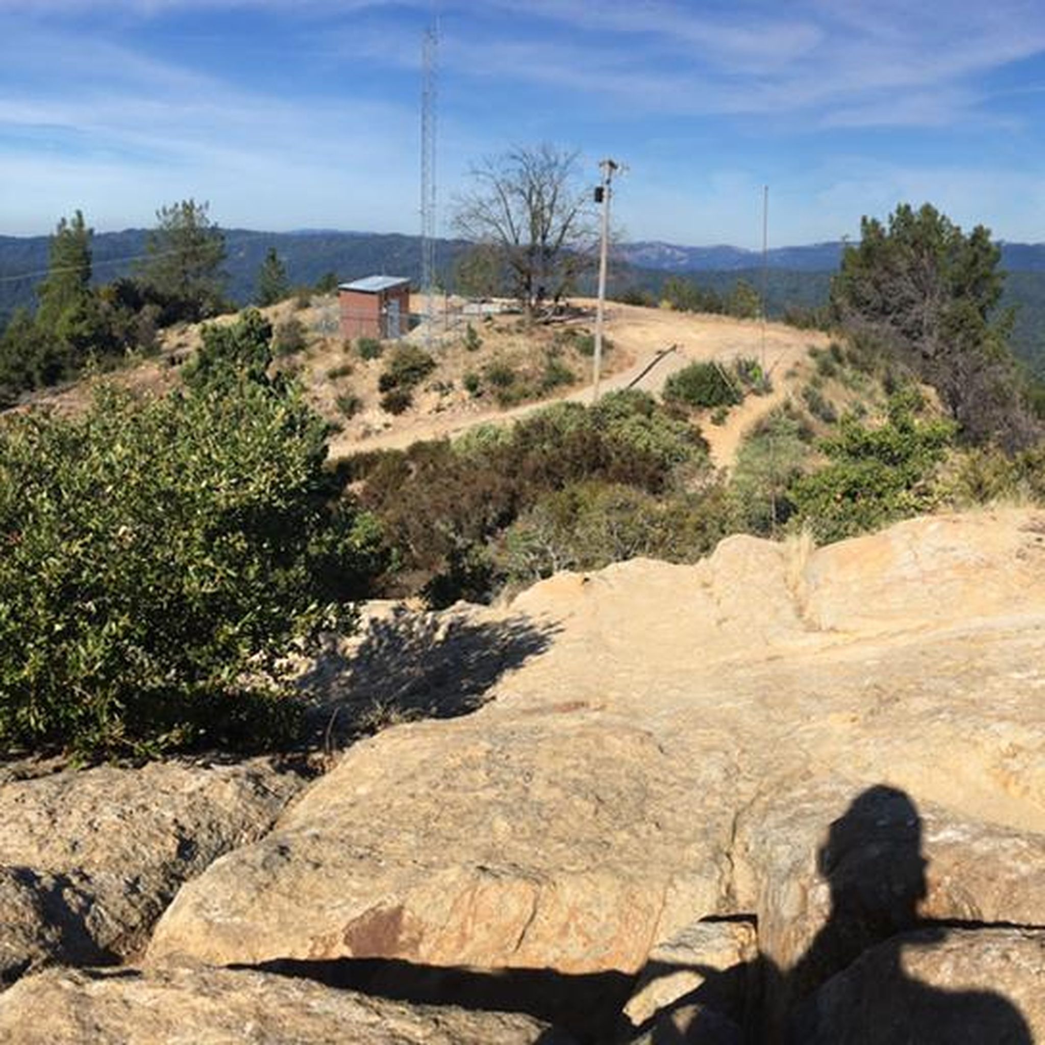
Great ride along the ridgeline. There's some steep sections, nice views, and a good chance to spot some wildlife.
0
0

Boulder Creek sits just below the Santa Cruz Mountains and is the gateway to Big Basin Redwoods State Park. The downtown area offers bars and restaurants that occupy buildings dating back to the early 1900s.
0
0

This peak is the highest point of Butano State Park, sharing its name with the park itself. If you're cycling on Butano Fire Road, you'll pass by it. As an interesting fact, the name "butano" originates from how early Californians referred to a beverage made from the horn of a bull or another animal, although other sources suggest it may also have a Native American origin.
1
0
Unfortunately, in 2020, this area was affected by the CZU Lightning Complex Fire, but it is currently recovering, and a temporary visitor center has been opened.
0
0
Cycling along this narrow country road is a pleasure, as it's situated in a stunning natural environment and has minimal traffic. It follows the course of Gazos Creek throughout, and at one of its ends, you'll find Gazos Creek State Beach, perfect for relaxing and even cooling off your legs.
1
0
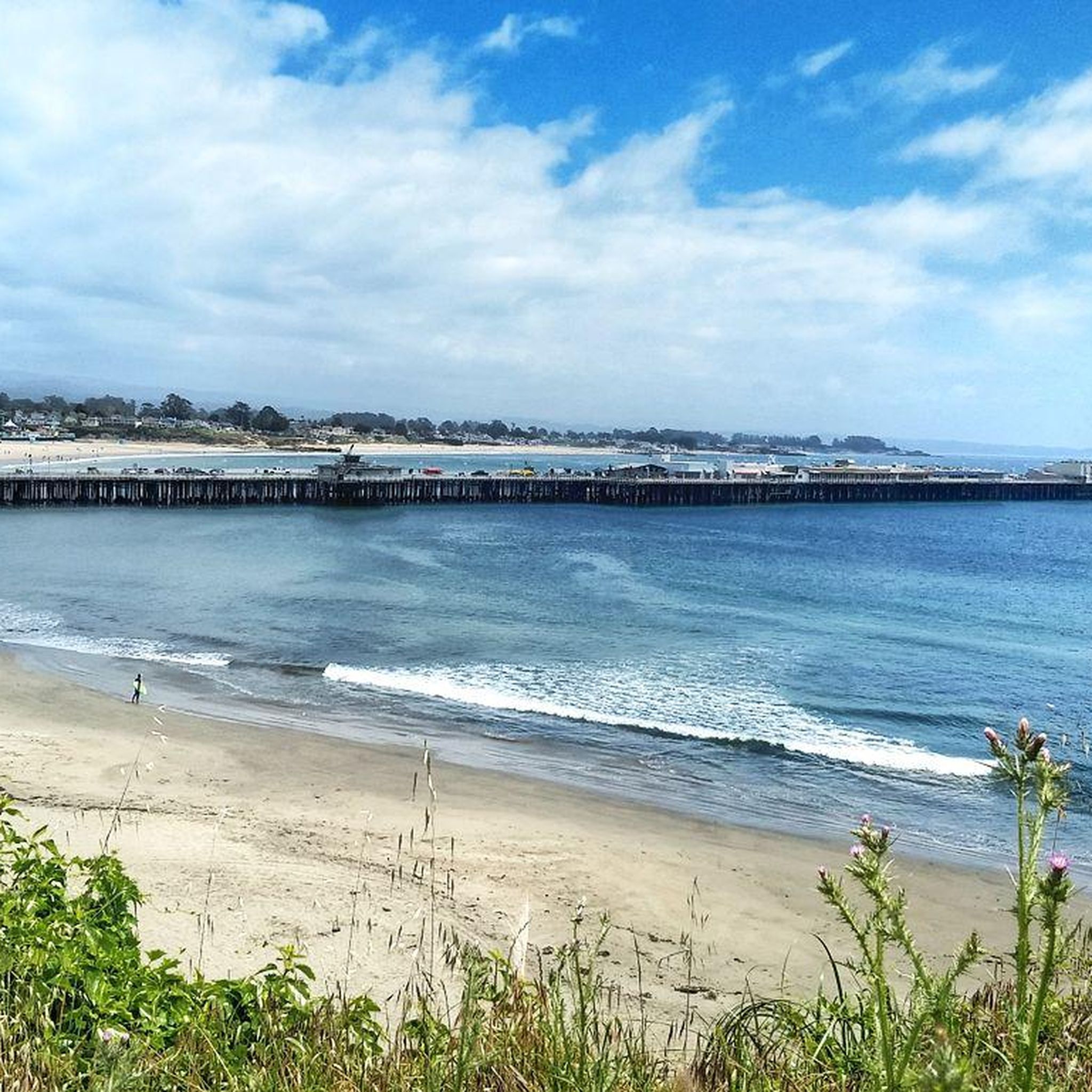
This small and tranquil beach forms where Gazos Creek meets the ocean, creating a large pool behind the beach where it's common to see various birds. There is a parking area next to the beach.
1
0
Frequently Asked Questions
Are bikes allowed on all trails within the San Lorenzo Valley Water District?
It's important to note that while the San Lorenzo Valley Water District (SLVWD) manages specific trails, bikes are generally not permitted on these particular SLVWD-managed properties. However, the broader San Lorenzo Valley area, which includes various state parks and natural areas, offers excellent opportunities for gravel biking. Many routes suitable for gravel bikes can be found in nearby state parks like Henry Cowell Redwoods State Park and Big Basin Redwoods State Park.
What kind of terrain will I encounter on gravel bike rides in the San Lorenzo Valley?
Gravel biking in the San Lorenzo Valley offers a diverse landscape. You'll find yourself riding through magnificent redwood forests, along lush river valleys, and tackling varied mountainous terrain. Routes often combine unpaved fire roads and paths with some paved sections, providing a mix of challenges and scenic views.
What is the typical difficulty level for gravel bike routes in the San Lorenzo Valley?
The gravel bike routes available in the San Lorenzo Valley tend to be on the more challenging side. For example, routes like the Boulder Creek – Chalks Road loop from Boulder Creek and the Gazos Creek Beach – Gazos Creek Road loop from Griffith are rated as difficult, featuring significant elevation gains and longer distances. Riders should be prepared for demanding climbs and descents.
Are there any family-friendly gravel biking options in the San Lorenzo Valley?
While many routes in the broader San Lorenzo Valley are rated as difficult, some state parks in the region, such as Henry Cowell Redwoods State Park, offer fire roads that can be suitable for families with older children or those comfortable with longer rides. These fire roads provide a more stable surface compared to technical singletrack. Always check specific trail conditions and difficulty before heading out with family.
Can I bring my dog on gravel bike trails in the San Lorenzo Valley?
Dog policies vary significantly by park and trail. While some trails within the San Lorenzo Valley Water District's Olympia Watershed are open to dogs (on leash), bikes are not permitted there. In other areas like Henry Cowell Redwoods State Park, dogs are generally allowed on paved roads and in picnic areas, but often restricted from unpaved trails and fire roads where bikes are permitted. Always check the specific park's regulations before bringing your dog. For Henry Cowell Redwoods State Park, you can find more information on their official website: California State Parks.
What natural features or landmarks can I see while gravel biking in the San Lorenzo Valley?
The San Lorenzo Valley is rich in natural beauty and historical landmarks. You can ride through majestic redwood forests, experience the winding San Lorenzo River, and from higher elevations, even catch glimpses of the Pacific Ocean. Notable attractions in the wider area include the historic Felton Covered Bridge and the unique sandhill habitat at Quail Hollow Ranch County Park. Some routes, like the Engelsmann Loop Trail – Wild Boar Trail loop from Felton Roaring Camp, start near attractions like Roaring Camp Railroads.
Are there any loop routes for gravel biking in the San Lorenzo Valley?
Yes, several gravel biking routes in the San Lorenzo Valley are designed as loops, allowing you to start and end at the same point. Examples include the challenging Boulder Creek – Chalks Road loop from Boulder Creek, the extensive Gazos Creek Beach – Gazos Creek Road loop from Griffith, and the Engelsmann Loop Trail – Wild Boar Trail loop from Felton Roaring Camp. These loops offer a comprehensive experience of the region's diverse terrain.
What is the best time of year for gravel biking in the San Lorenzo Valley?
The San Lorenzo Valley generally offers good gravel biking conditions for much of the year. Spring and fall provide pleasant temperatures and vibrant scenery. Summer can be warm, especially in exposed areas, but the redwood forests offer cooler, shaded riding. Winter can bring rain, making some unpaved sections muddy and challenging, but also offers a unique, misty atmosphere. Always check local weather and trail conditions before your ride.
Are there options for public transport to access gravel biking areas in the San Lorenzo Valley?
Public transportation options to specific trailheads can be limited. However, Santa Cruz METRO provides bus services that connect to towns within the San Lorenzo Valley, such as Felton and Boulder Creek, which are close to some popular state parks like Henry Cowell Redwoods State Park. From these towns, you might have to cycle a short distance to reach the trail access points. It's advisable to check the latest Santa Cruz METRO schedules and routes for bicycle accessibility.
Where can I find cafes or amenities near the gravel biking routes?
Towns within the San Lorenzo Valley, such as Felton, Boulder Creek, and Ben Lomond, offer various amenities including cafes, restaurants, and small shops where you can refuel and resupply. Many routes pass through or near these towns, making it convenient to take a break. For example, the Boulder Creek – Chalks Road loop starts and ends in Boulder Creek, providing easy access to local establishments.
What do other gravel bikers enjoy most about gravel biking in the San Lorenzo Valley?
The San Lorenzo Valley is highly rated by the komoot community, with an average score of 5.0 stars. Reviewers often praise the immersive experience of riding through ancient redwood forests, the challenging yet rewarding climbs, and the diverse scenery that combines river valleys with mountain views. The sense of adventure on these demanding routes is frequently highlighted.
Most popular routes in San Lorenzo Valley Water District

Get inspired with the komoot mobile app


Explore more
Browse the best Gravel rides in other regions.
