The best gravel rides in Donauleiten Von Passau Bis Jochenstein
4.5
(35)
193
riders
30
rides
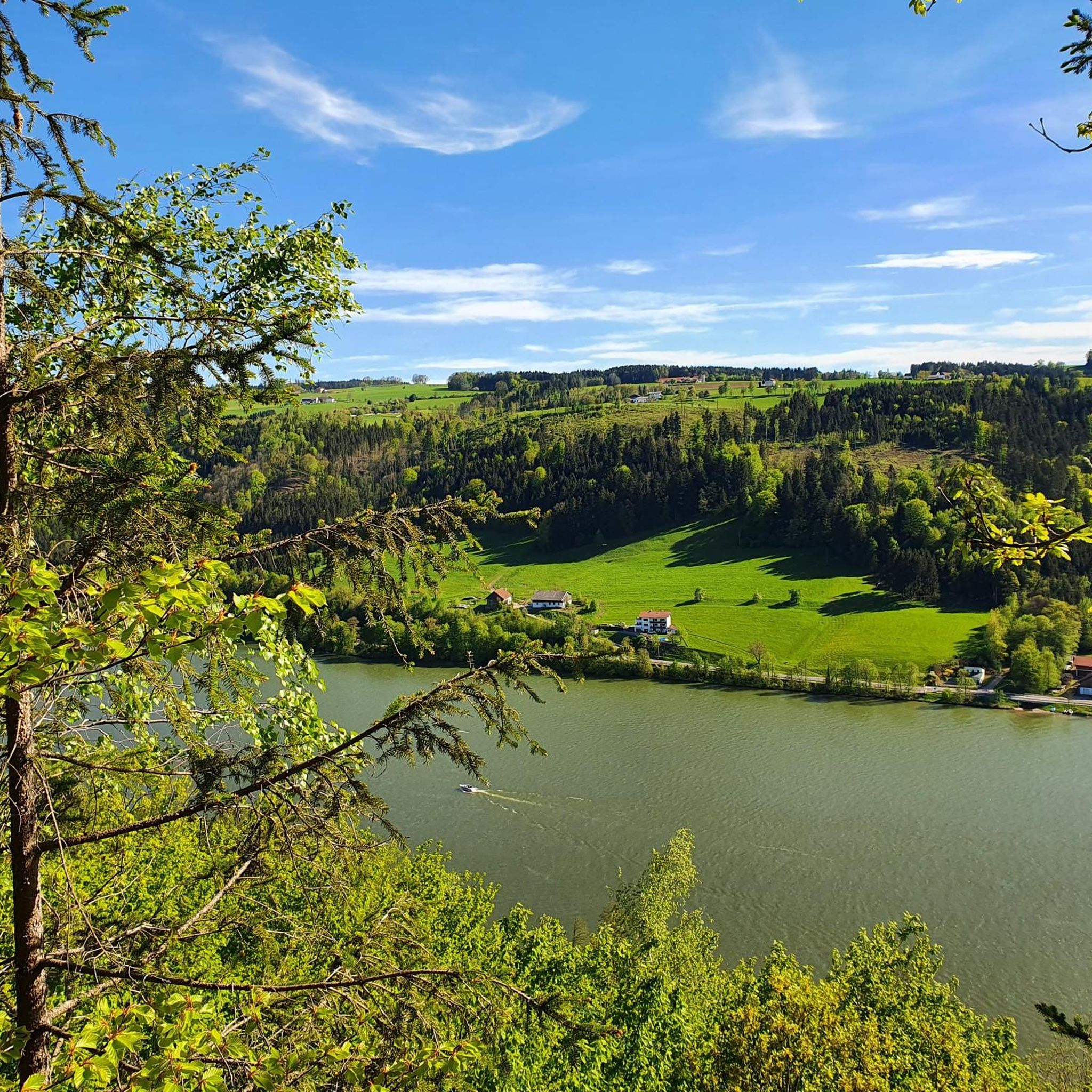
Gravel biking in Donauleiten Von Passau Bis Jochenstein offers a diverse landscape characterized by the Danube river valley, its tributaries, and surrounding hills. The region features steep south-facing slopes, often covered with oak and beech forests, alongside open rock faces and scree. Altitudes range from approximately 290 meters to 550 meters above sea level, creating varied elevation changes suitable for gravel cycling. The geology includes pearl gneiss and granite, contributing to the rugged terrain.
Best gravel bike trails in Donauleiten…
Last updated: August 27, 2026
5
riders
Moderate gravel ride. Good fitness required. Mostly paved surfaces. Suitable for all skill levels.
4.7
(3)
16
riders
29.2km
01:55
490m
490m
Hard gravel ride. Very good fitness required. Mostly paved surfaces. Suitable for all skill levels.

Sign up for free
4.4
(7)
11
riders
40.2km
02:21
400m
400m
Moderate gravel ride. Good fitness required. Mostly paved surfaces. Suitable for all skill levels.
5.0
(4)
24
riders
43.8km
02:52
560m
560m
Hard gravel ride. Very good fitness required. Mostly paved surfaces. Suitable for all skill levels.
5.0
(1)
10
riders
31.4km
02:09
530m
530m
Hard gravel ride. Very good fitness required. Mostly paved surfaces. Suitable for all skill levels.
Get access to more routes and recommendations from other explorers.
Sign up for free
Already have an account?
Our route recommendations are based on thousands of hikes, rides, and runs completed by other people on komoot.
Start today with a free account
Your next adventure awaits.
Login or Signup
Popular around Donauleiten Von Passau Bis Jochenstein
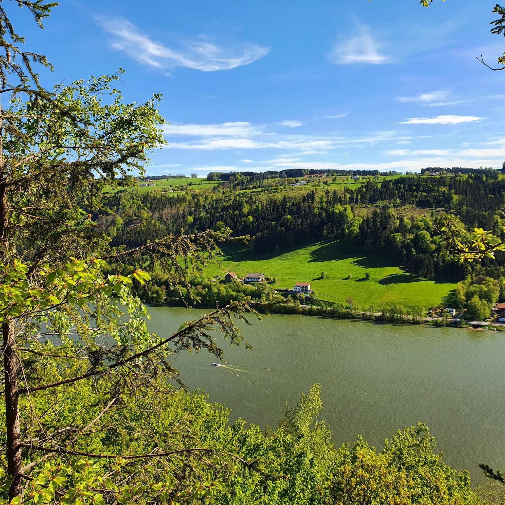
Cycling in Donauleiten Von Passau Bis Jochenstein
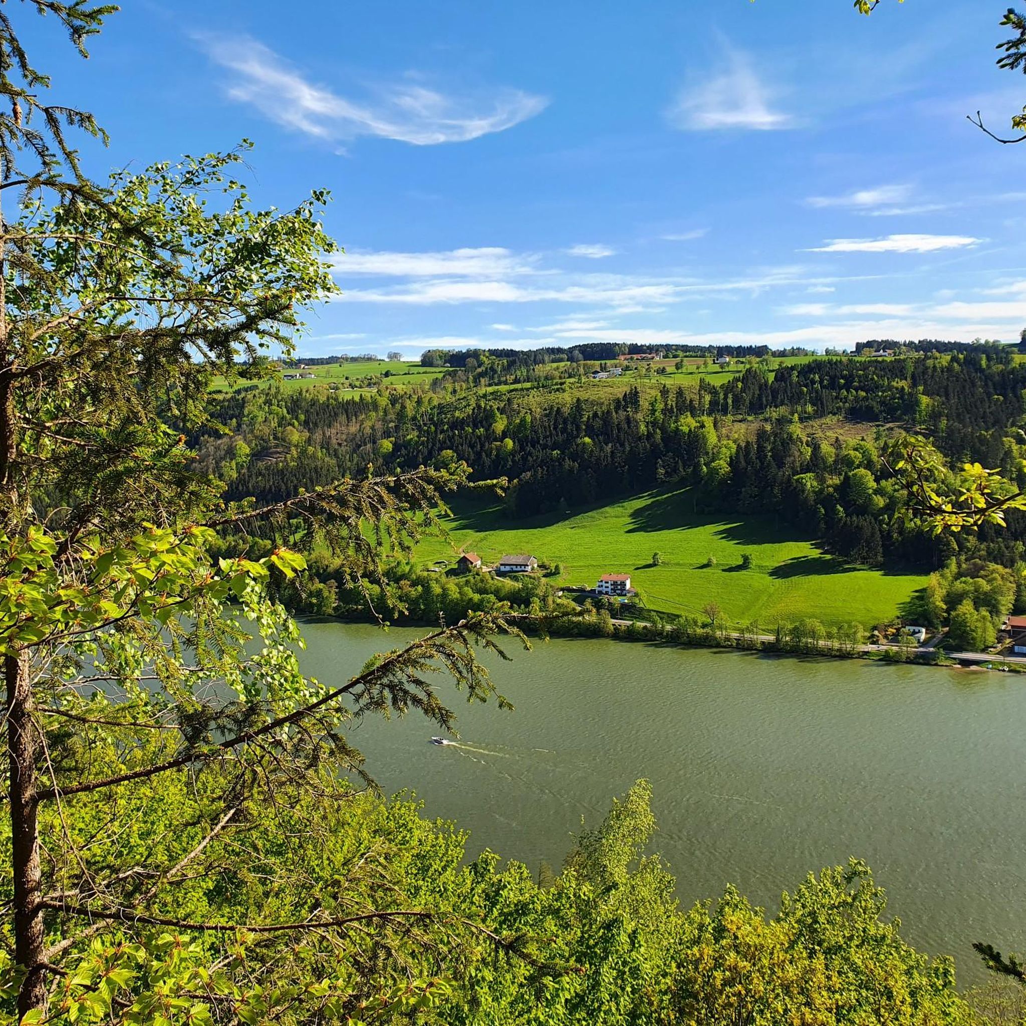
Road Cycling Routes in Donauleiten Von Passau Bis Jochenstein
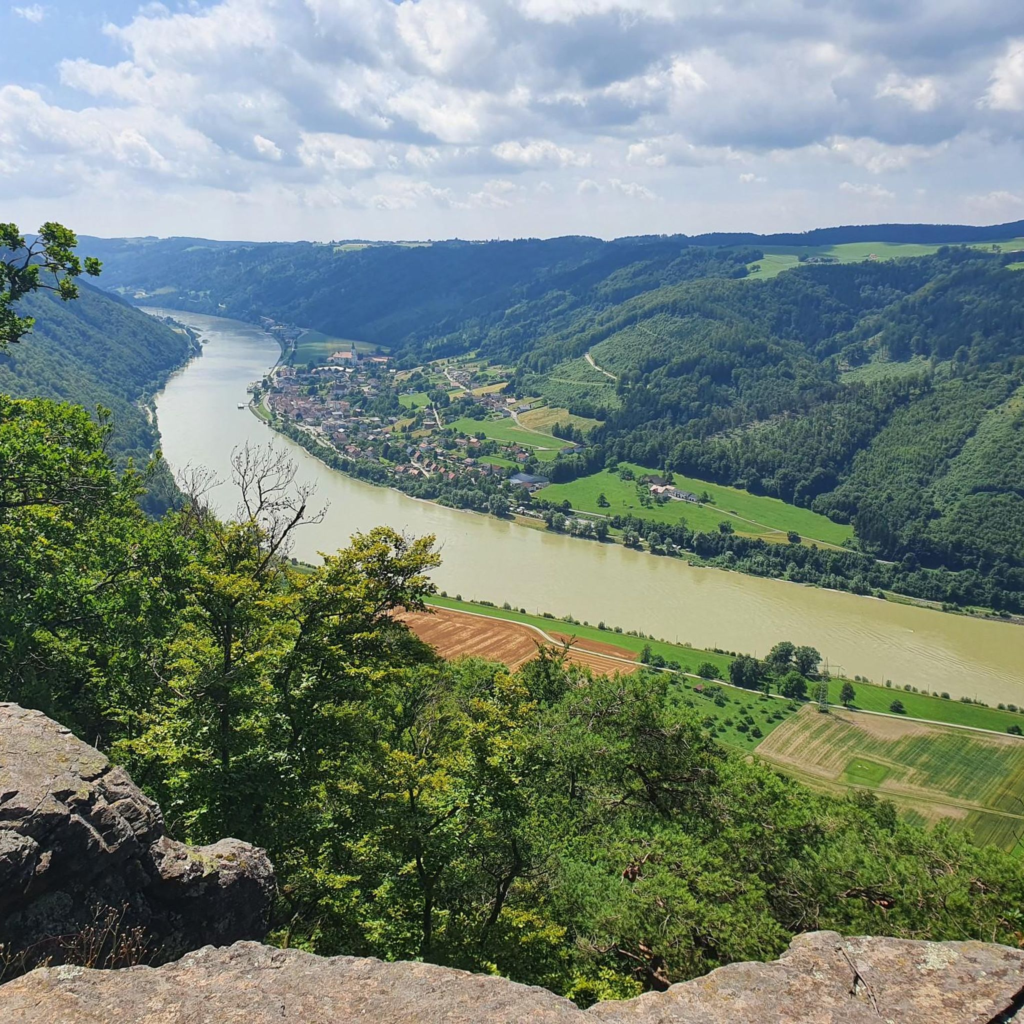
Running Trails in Donauleiten Von Passau Bis Jochenstein
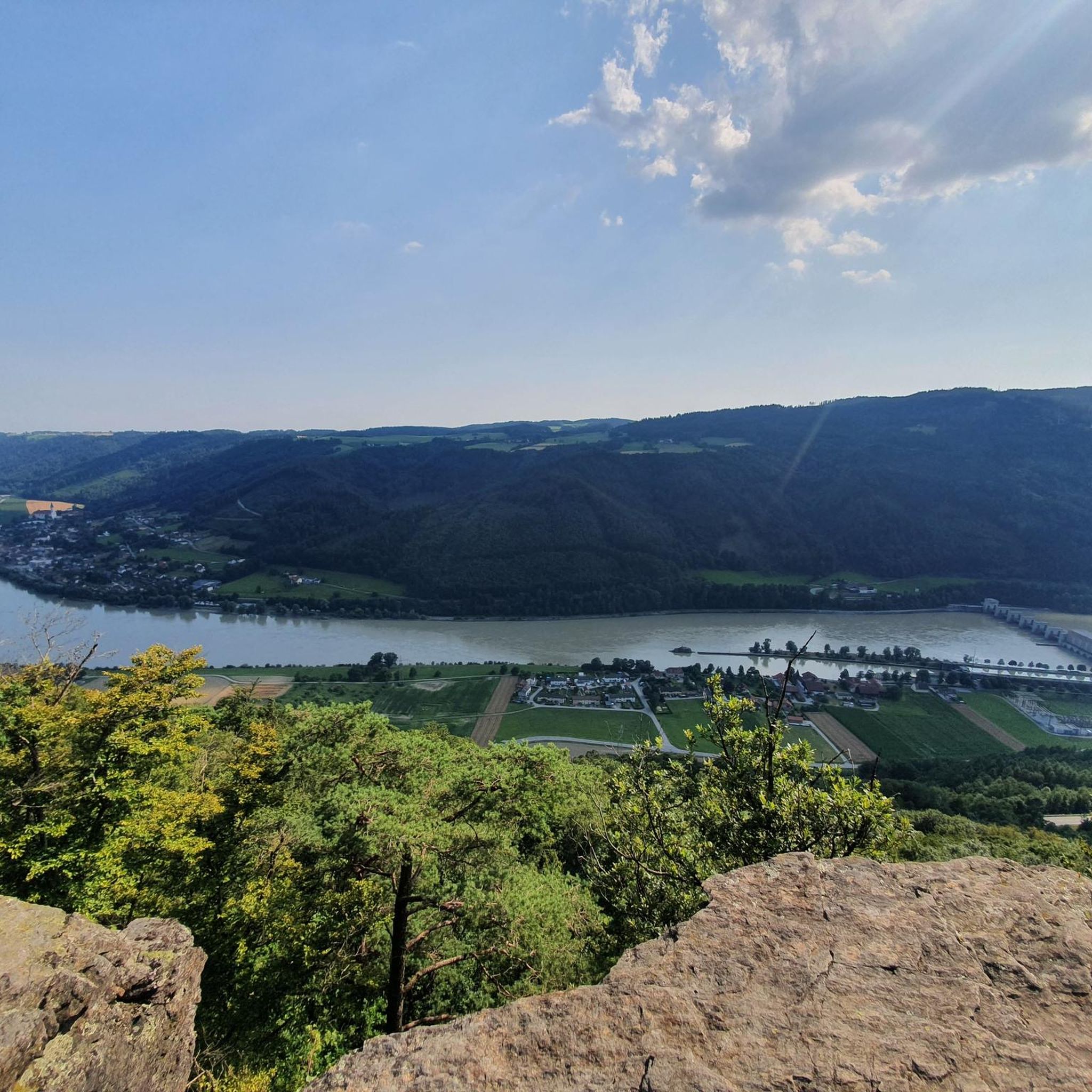
MTB Trails in Donauleiten Von Passau Bis Jochenstein
Hiking in Donauleiten Von Passau Bis Jochenstein

Mountain Hikes in Donauleiten Von Passau Bis Jochenstein
Tips from the Community


A very beautiful place between the Danube and the Inn with the Ilz estuary in sight.
0
0


From this spot you have a very nice view of the river and the coniferous forest opposite.
0
0

Binoculars are recommended in good visibility.
0
0

beautiful view of the old town of Passau
3
0

From here you are in the city if you just follow the Inn
1
0
Frequently Asked Questions
How many gravel bike trails are available in Donauleiten Von Passau Bis Jochenstein?
The Donauleiten region offers a wide selection of gravel biking routes, with over 60 trails available on komoot. These range from easy riverside paths to more challenging climbs through forested sections and rolling hills.
What is the typical difficulty level of gravel bike trails in Donauleiten?
The trails in Donauleiten cater to various skill levels. While there are 5 easy routes perfect for beginners, the majority are moderate (24 routes) or difficult (33 routes), offering plenty of challenges for experienced gravel bikers. You'll find a mix of riverside paths and demanding ascents into the Donauleiten hills.
Are there beginner-friendly gravel bike trails in Donauleiten?
Yes, Donauleiten offers several beginner-friendly gravel bike trails. For an easy ride with scenic views, consider the Kachlet Dam and Lock, Passau – View of the Danube loop from Passau Hbf. This 16.7-mile (26.9 km) path provides gentle terrain and beautiful views of the Danube.
What are some notable gravel routes starting near Passau?
Near Passau, you can explore routes like the View of Passau's Old Town – Inn River Cycle Path, Passau loop from Passau-Rosenau, which offers views of Passau's Old Town and follows the Inn River. Another option is the Obernzell town center – Passau Old Town loop from Vollmannsdorf, a longer route connecting these historic towns.
What is the best season for gravel biking in Donauleiten?
Gravel biking in Donauleiten is enjoyable throughout much of the year. Spring and autumn offer pleasant temperatures and vibrant scenery, with autumn providing particularly beautiful foliage in the forested areas. Summer is also popular, especially along the river paths, but be prepared for warmer weather.
Are there any circular gravel bike routes in Donauleiten?
Yes, many gravel bike routes in Donauleiten are designed as loops. For example, the Streamside Hiking Trail – Aubach Bridge loop from Kellberg is a popular 18.1-mile (29.2 km) circular trail that takes you through streamside areas.
What scenic viewpoints can I find along the Donauleiten gravel bike trails?
The Donauleiten region is rich in scenic viewpoints. You can enjoy breathtaking vistas such as the View from Ebenstein Rock across the Danube Valley or the Donaublick Hochstein. Many trails offer glimpses of the Danube and surrounding landscapes.
What historical landmarks or attractions can I see while gravel biking in Donauleiten?
Along the Donauleiten trails, you can encounter several interesting landmarks. Keep an eye out for the Nixe Isa statue on the Danube, the Bavaria–Austria border crossing at Jochenstein, and the historic Ruins of Neujochenstein Castle.
Is Donauleiten accessible by public transport for gravel bikers?
Yes, the region, particularly around Passau, is well-connected. Routes like the Kachlet Dam and Lock, Passau – View of the Danube loop from Passau Hbf start directly from Passau's main train station (Hbf), making it convenient for those arriving by public transport.
What do other gravel bikers enjoy the most about gravel biking in Donauleiten?
The Donauleiten region is highly rated by the komoot community, with an average score of 4.6 stars from over 120 reviews. Reviewers often praise the diverse landscape, which combines riverside paths with challenging climbs, and the blend of natural scenery with views of historic towns like Passau.
Are there any long-distance gravel routes for multi-day tours?
For those seeking longer adventures, Donauleiten offers extensive routes. The View of Passau's Old Town – Schlögen Loop loop from Engelhartszell an der Donau is a challenging 63.2-mile (101.7 km) route with significant elevation gain, suitable for experienced riders looking for a full-day or multi-day experience.
Most popular routes in Donauleiten Von Passau Bis Jochenstein
Most popular attractions in Donauleiten Von Passau Bis Jochenstein

Get inspired with the komoot mobile app


Explore more
Browse the best Gravel rides in other regions.
