The best gravel rides in Parco Dell’Alto Martesana
4.3
(414)
3,080
riders
105
rides
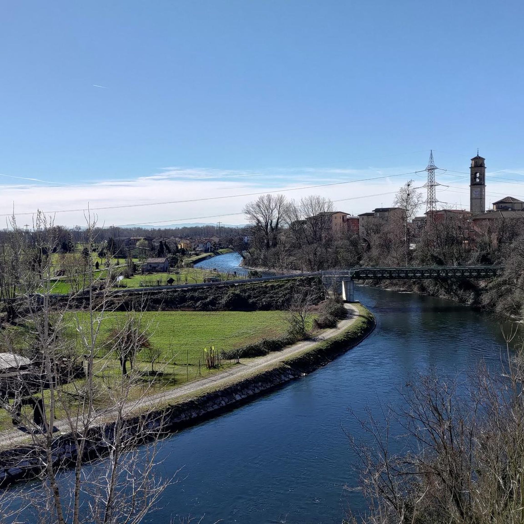
Gravel biking in Parco Dell’Alto Martesana offers routes through a landscape characterized by cultivated fields, natural corridors, and small wooded areas. The terrain features mostly flat, paved routes along the historic Naviglio Martesana canal, alongside unpaved segments suitable for gravel riding. The park includes the WWF Natural Oasis of Martesana, a re-naturalized former quarry, adding to its diverse natural features. This area provides low elevation changes, making it accessible for various skill levels.
Best gravel bike trails in Parco Dell’Alto…
Last updated: August 29, 2026
5.0
(2)
40
riders
Hard gravel ride. Very good fitness required. Mostly paved surfaces. Suitable for all skill levels.
4.6
(12)
83
riders
67.3km
04:21
150m
150m
Moderate gravel ride. Good fitness required. Mostly paved surfaces. Suitable for all skill levels.

Sign up for free
4.4
(25)
171
riders
Moderate gravel ride. Good fitness required. Mostly paved surfaces. Suitable for all skill levels.
4.1
(15)
115
riders
47.1km
02:38
250m
250m
Moderate gravel ride. Good fitness required. Mostly paved surfaces. Suitable for all skill levels.
5.0
(3)
18
riders
46.1km
02:46
140m
140m
Moderate gravel ride. Good fitness required. Mostly paved surfaces. Suitable for all skill levels.
Get access to more routes and recommendations from other explorers.
Sign up for free
Already have an account?
Our route recommendations are based on thousands of hikes, rides, and runs completed by other people on komoot.
Start today with a free account
Your next adventure awaits.
Login or Signup
Tips from the Community

Any trail that winds through its vicinity is wonderful, a shame about the interruption between Zelo and Galgagnano of the path due to the hunting area, incidentally a beautiful place part of the ADDA sud Park but inexplicably in the hands of one or more private individuals who have made it their "hunting park" by fencing it all in. I happened to get inside by mistake, finding one of the numerous open gates and could no longer get out, finding the others closed, receiving a couple of shots in the air behind my back to make me understand that I was not welcome! A real shame because it interrupts the descent from Zelo towards Lodi along the Adda. Beyond the "hunting park" I believe that the passage along the river (state-owned area!!) SHOULD always be guaranteed without any ifs or buts!
1
0

The Idroscalo of Milan is a large artificial lake and public park located between the municipalities of Segrate and Peschiera Borromeo, historically known as the "sea of Milan". Born at the end of the 1920s as a seaplane base, it was later converted into a sports and recreational center. Today it represents one of the main green and leisure areas of the Metropolitan City of Milan.
1
0
The Idroscalo of Milan is a large artificial lake and public park located between the municipalities of Segrate and Peschiera Borromeo, historically known as the "sea of Milan". Born in the late 1920s as a seaplane base, it was later converted into a sports and recreational center. Today it represents one of the main green areas and leisure spaces of the Metropolitan City of Milan.
2
0
The Adda River is the fourth longest watercourse in Italy with its 313 kilometers and is entirely within the Lombardy region. It represents one of the main left tributaries of the Po River and has a very large hydrographic basin that covers about a third of the regional territory
0
0
The Muzza Canal is the oldest in Europe and just this year, its 800th anniversary was celebrated by the Municipality of Paullo in collaboration with the Pro Loco and other Municipalities. Its origin dates back to the year 1220, when Frederick II of Swabia, crowned emperor of the Holy Roman Empire, issued an imperial edict that granted the people of Lodi the right to use the waters flowing within their territory. The current route, about 60 km long, receives the waters of the Adda River at Cassano d’Adda, at an altitude of 120 m above sea level, crosses the Lodi territory for about 40 km until near Castiglione d’Adda, at an altitude of 45 m above sea level, and here it releases them back into the Adda River. It has a regulated water regime, with a flow rate, depending on the season, of about 200 thousand liters of water per second; an initial width of 50 meters which reduces to a few meters at the end of its course and an average depth of 2 meters.
0
0
The Muzza canal (61 km long in total) is a branch of the Adda River and recently celebrated its 800th anniversary, making it one of the oldest in Europe. Its name, with slight variations over the centuries, still recalls the name of the Roman Mutia family who moved here in 90 BC, initiating the first land reclamation works. From the wide canal branch off smaller watercourses which, winding through the countryside for a total length of about 1000 kilometers, are mainly intended for agricultural irrigation. The landscape of countryside and farmhouses surrounding it is evocative, with alternating rows of trees and open fields. It is also very interesting from a naturalistic point of view as it attracts many water birds that can be observed along the route.
1
0
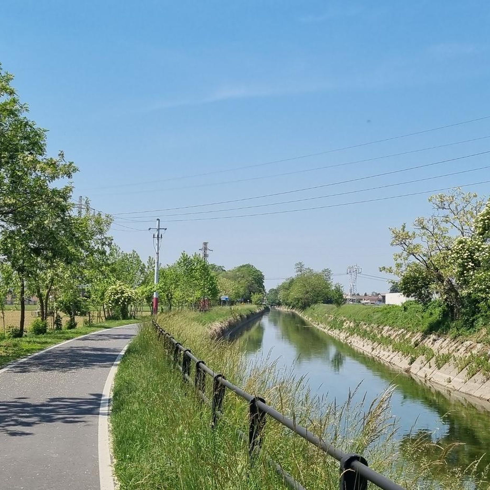
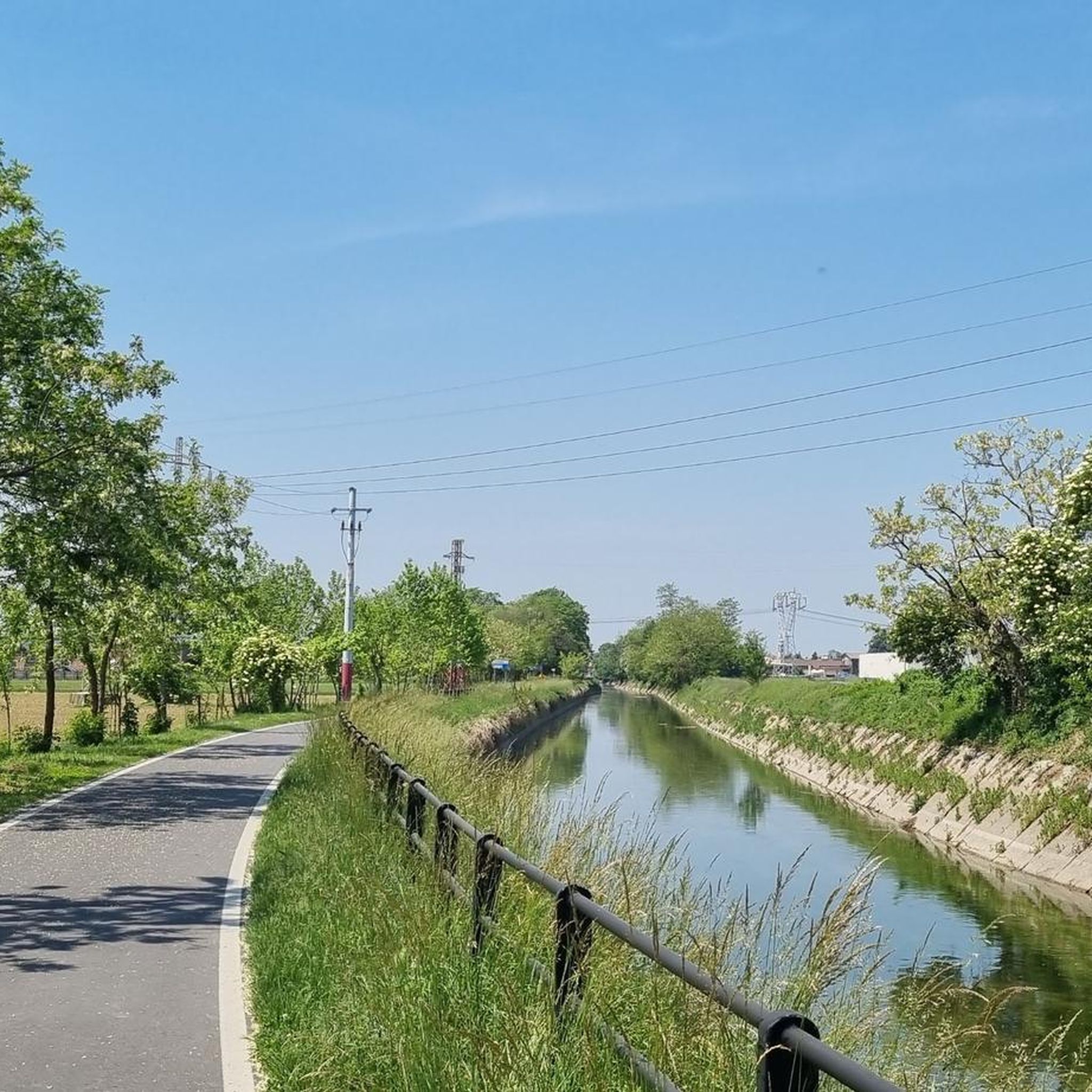
The Naviglio della Martesana, initially known as Naviglio Piccolo, is one of the Milanese canals that connects Milan with the course of the Adda river through the municipalities of Martesana. Commissioned in the 15th century by Francesco Sforza, it was used for irrigating the countryside but also represented the ambitious project of connecting Milan with Lake Como and thus with the Alps and Ticino. The Naviglio della Martesana is a place rich in history and beauty, a heritage for everyone that, however, today is still little known and protected. Along the Naviglio runs a rather busy cycle path, which allows you to admire the landscape and cultural beauties, such as the rich flora, fauna, or the numerous historic villas, including the Renaissance Villa Melzi d’Eril in Vaprio d’Adda.
1
0
The small church of San Biagio, unique in its location, in a rural hamlet almost lost in the countryside of the upper Lodi area. The entire complex can be considered, in short, a general rehearsal for Bramante. The structures, absolutely innovative for the time, highlight the engineering knowledge typical of the architect. The oratory dedicated to San Biagio (Bishop of Sebaste and martyr) has a lower parallelepiped part with three apses and an octagonal upper part, with a row of round windows and another of blind rectangular windows. It is completed by a low tower that serves as a bell tower; the entire complex is made of terracotta and retains a classical Renaissance appearance of elegance and proportions.
0
0
Frequently Asked Questions
How many gravel bike trails are available in Parco Dell’Alto Martesana?
Parco Dell’Alto Martesana offers a wide selection of gravel biking routes, with over 130 trails to explore. These range from easy, flat paths to more challenging loops through varied terrain.
Are there easy gravel bike trails in Parco Dell’Alto Martesana suitable for beginners or families?
Yes, the region is well-suited for beginners and families, with 23 easy routes available. Many of these follow the historic canals, offering flat and consistent gravel surfaces. A great option is the Martesana Canal Gravel Loop, which is 15.5 miles (25 km) and relatively flat.
Are there more challenging gravel trails for experienced riders in Parco Dell’Alto Martesana?
For experienced riders seeking a challenge, Parco Dell’Alto Martesana features 46 difficult gravel trails. These routes often include varied park landscapes and longer distances, such as the Parco Dell’Alto Martesana Perimeter Trail, which covers 21.7 miles (35 km).
What kind of terrain can I expect on gravel bike trails in Parco Dell’Alto Martesana?
The terrain in Parco Dell’Alto Martesana is diverse, characterized by woodlands, open fields, and waterways. You'll find a mix of flat paths along canals, mixed gravel and dirt surfaces through forested sections, and routes with gentle inclines. The topography generally features low elevation changes, making it accessible for various skill levels.
What do other gravel bikers enjoy most about the trails in Parco Dell’Alto Martesana?
The trails in Parco Dell’Alto Martesana are highly rated by the komoot community, with an average score of 4.4 stars from over 260 reviews. Riders frequently praise the scenic canal paths, the tranquility of the wooded sections, and the well-maintained gravel surfaces that make for enjoyable rides.
Are there any circular gravel bike routes in Parco Dell’Alto Martesana?
Yes, many of the gravel routes in Parco Dell’Alto Martesana are designed as loops, allowing you to start and finish at the same point. The Martesana Canal Gravel Loop is a popular example, offering a complete circuit along the canal.
What are some scenic viewpoints or interesting landmarks along the gravel bike trails?
Along the gravel bike trails, you can discover several points of interest. Consider exploring the Naviglio Martesana Cycle Path for picturesque canal views, or the Gravel Path Along the Villoresi Canal. For a historical landmark, the Santa Maria delle Grazie al Monasterolo is also accessible.
What is the best time of year for gravel biking in Parco Dell’Alto Martesana?
While specific weather conditions can vary, spring and autumn generally offer the most pleasant temperatures for gravel biking in Parco Dell’Alto Martesana. These seasons provide comfortable riding conditions with less heat than summer and fewer potential disruptions from winter weather.
Are there any hidden gem gravel trails in Parco Dell’Alto Martesana?
Beyond the well-known routes, the park offers quieter sections that feel like hidden gems. The Woodland Explorer Gravel Route, for instance, winds through forested areas, providing a more secluded experience away from busier paths.
How long does it typically take to complete a gravel bike trail in Parco Dell’Alto Martesana?
The duration varies greatly depending on the trail length and your pace. For example, the Martesana Canal Gravel Loop typically takes about 1 hour 30 minutes, while the longer Parco Dell’Alto Martesana Perimeter Trail can take around 2 hours 15 minutes.
Where can I find parking for gravel biking in Parco Dell’Alto Martesana?
Parking availability varies by specific trailhead. Many access points to the canal paths and park entrances offer designated parking areas. It's advisable to check the starting point of your chosen route on komoot for detailed parking information.
Most popular routes in Parco Dell’Alto Martesana
Most popular attractions in Parco Dell’Alto Martesana

Get inspired with the komoot mobile app


Explore more
Browse the best Gravel rides in other regions.
