The best gravel rides in Mount Tamalpais State Park
4.5
(20)
405
riders
47
rides
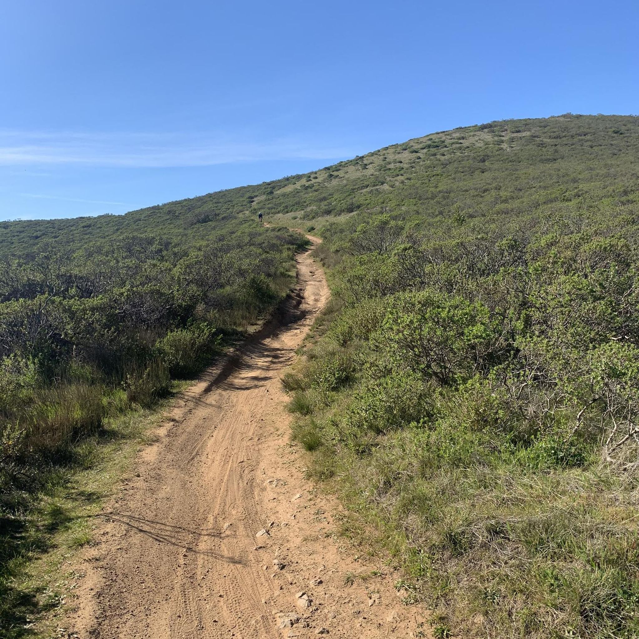
Gravel biking in Mount Tamalpais State Park offers a diverse landscape characterized by significant elevation changes, dense forests, and open hillsides. The park features a network of trails and dirt roads, including historic railroad grades and more rugged paths. Riders can expect varied terrain, from smoothly graded sections to challenging climbs, often providing panoramic views of the Pacific Ocean and the San Francisco Bay Area. This region is a continuous stretch of publicly accessible open space, adjoining other protected areas.
Best gravel bike trails in Mount Tamalpais State Park
- The most popular gravel bike trail is Phoenix Lake – Fish Gulch trail junction loop from Mill Valley, a 28.2 miles (45.3 km) trail that takes 3 hours 46 minutes to complete. This route features substantial elevation gain through varied terrain.
- Another top favourite among local gravel bikers is Fern Creek and spring – Pantoll Road loop from Mill Valley, a difficult 21.5 miles (34.5 km) path. This route includes significant climbing and offers expansive views as it ascends.
- Local gravel bikers also love the Fern Creek and spring loop from Mill Valley, a 15.2 miles (24.4 km) trail leading through forested areas and open slopes, often completed in about 2 hours 39 minutes.
- Gravel biking in Mount Tamalpais State Park is defined by panoramic viewpoints, redwood forests, and coastal scenery. The network includes historic dirt roads and more challenging off-road sections, with options for various ability levels.
- The routes in Mount Tamalpais State Park are highly rated by the komoot community with an average score of 4.6 stars from over 20 reviews. More than 600 gravel bikers have used komoot to explore Mount Tamalpais State Park's varied terrain.
Last updated: August 25, 2026
5.0
(3)
74
riders
35.0km
03:01
930m
930m
Hard gravel ride. Very good fitness required. Mostly paved surfaces. Suitable for all skill levels.
3.0
(1)
34
riders
49.9km
04:29
1,340m
1,340m
Hard gravel ride. Very good fitness required. Mostly paved surfaces. Suitable for all skill levels.

Sign up for free
23
riders
45.6km
03:05
750m
750m
Hard gravel ride. Very good fitness required. Mostly paved surfaces. Suitable for all skill levels.
4.8
(6)
73
riders
47.4km
04:21
1,270m
1,270m
Hard gravel ride. Very good fitness required. Mostly paved surfaces. Suitable for all skill levels.
5.0
(3)
64
riders
29.3km
02:46
850m
850m
Hard gravel ride. Very good fitness required. Mostly paved surfaces. Suitable for all skill levels.
Get access to more routes and recommendations from other explorers.
Sign up for free
Already have an account?
Our route recommendations are based on thousands of hikes, rides, and runs completed by other people on komoot.
Start today with a free account
Your next adventure awaits.
Login or Signup
Popular around Mount Tamalpais State Park

Bay Area Ridge Trail — Circumnavigating the San Francisco Bay

Bay Area Ridge Trail — Hiking the backbone of The Bay

Chasing flow in the Bay Area
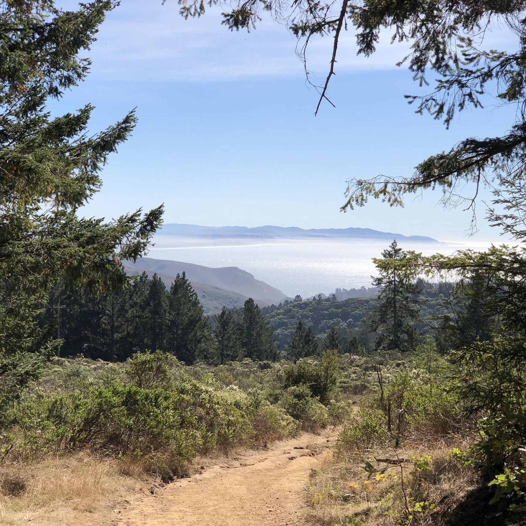
Hiking in Mount Tamalpais State Park
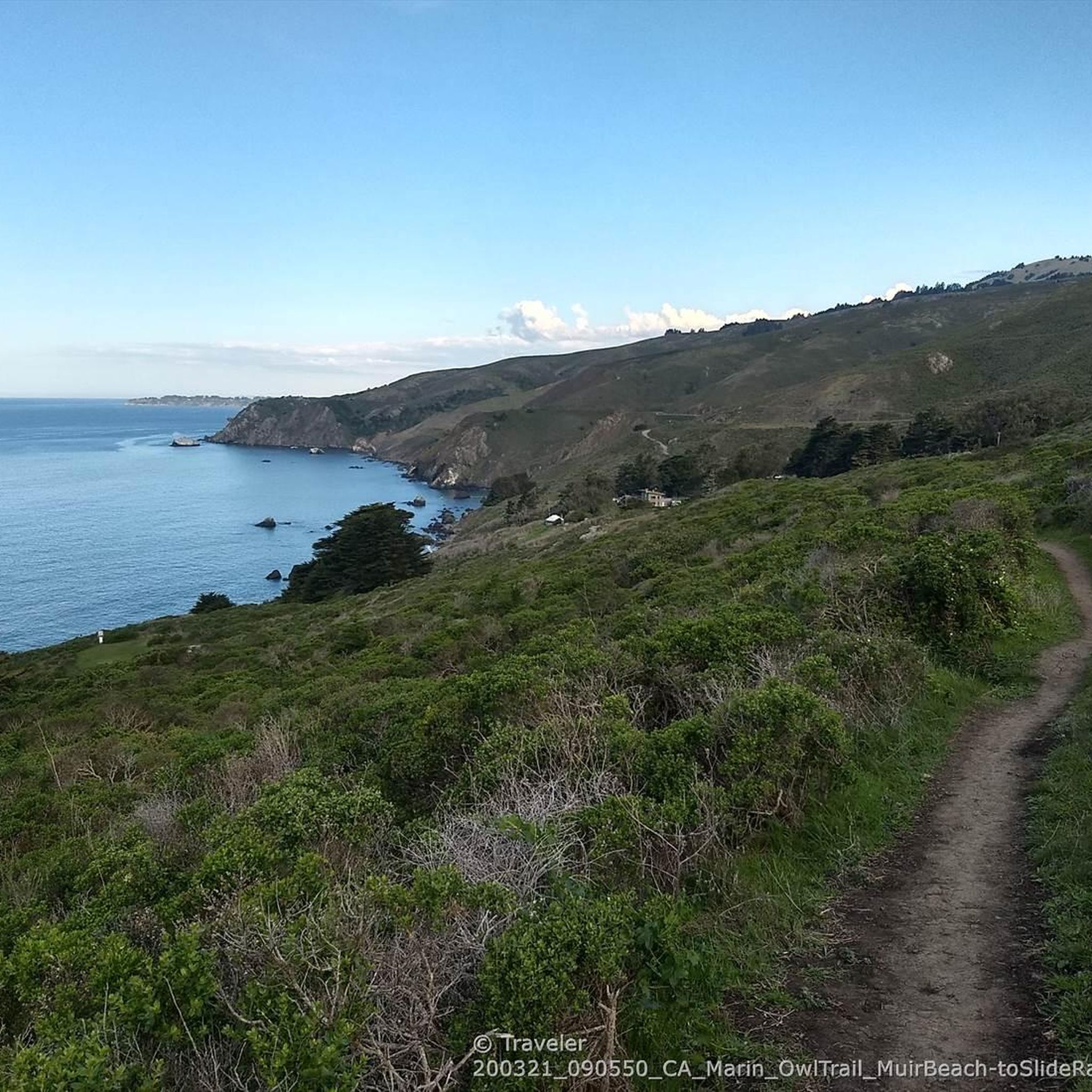
Running Trails in Mount Tamalpais State Park
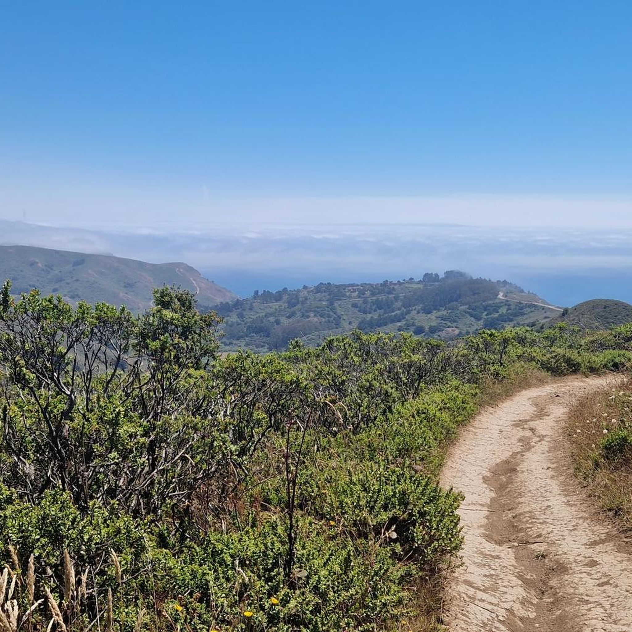
Cycling in Mount Tamalpais State Park
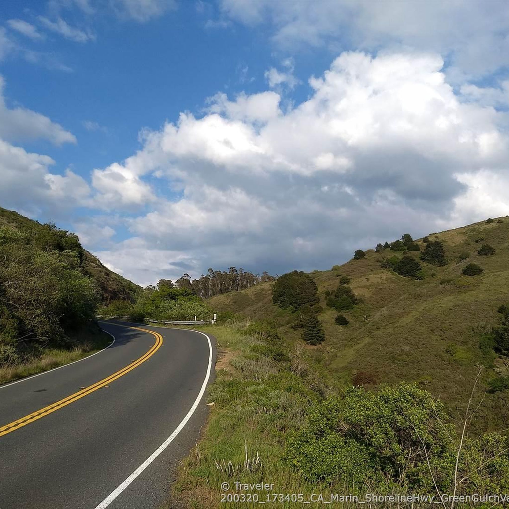
Road Cycling Routes in Mount Tamalpais State Park
MTB Trails in Mount Tamalpais State Park


Tips from the Community


At this point on Sky Oaks Road, there is a junction with Shaver Grade Road, which connects with a dense network of trails and dirt roads near Bald Hill in the Mount Tamalpais State Park. From here, you can continue on the paved Sky Oaks Road or go arond the gate on to the gravel Shaver Grade Road.
0
0

Pantoll Road is a beautiful, mostly paved route through Mount Tamalpais State Park, connecting the Panoramic Highway to Ridgecrest Boulevard. It winds closely along the curves of the hillside, with some shade from the trees in some spots. There are fantastic views along the way of San Francisco and the Marin Headlands, with incredible viewpoints over the Pacific coastline.
0
0

Quieter albeit slightly higher and steeper climb out of Mill Valley to Panoramic Highway instead of climbing on Hwy 1, meandering along lesser traffic neighborhood streets with more shade and awesome bay views.
0
0
This bikeway offers a better alternative to the much busier Center Boulevard, which does not have a shoulder and an even better route than the Sir Francis Drake Blvd highway. Lansdale and San Anselmo Avenues are quiet residential streets that run parallel and provide a pleasant passage through town away from busy traffic.
1
0
This tidal sanctuary runs along the Mill Valley-Sausalito Pathway and the Charles F. McGlashan Pathway. More than 400 species of migratory birds rest here after their long flights, and if you pass through in the early morning or late evening, the sunrises and sunsets reflect beautifully on the surface of this 106-acre marsh.
0
0

There is a great view of the northern point of Alpine lake where a small channel feeds over to Bon Tempe Lake. This is a great place to drop a line, or just enjoy the aquatic views.
0
0
Frequently Asked Questions
How many gravel bike trails are available in Mount Tamalpais State Park?
Mount Tamalpais State Park offers a wide selection of routes for gravel biking. You can find over 50 gravel bike trails, ranging from moderate to difficult, providing diverse options for exploration.
What kind of terrain can I expect on gravel bike trails in Mount Tamalpais State Park?
The park features a diverse landscape with significant elevation changes, dense forests, and open hillsides. You'll encounter a network of trails and dirt roads, including historic railroad grades like the Old Railroad Grade, which is wide and evenly graded, and more rugged paths like Eldridge Grade. Terrain varies from smoothly graded sections to challenging climbs, often providing panoramic views.
Are there any beginner-friendly gravel bike routes in Mount Tamalpais State Park?
While many routes feature significant elevation, some sections, like parts of the Old Railroad Grade, are known for being wide and evenly graded, making them more accessible. For a moderate option, consider the Corte Madera Pathway – Fish Gulch trail junction loop from Mill Valley, which is a popular choice with varied terrain.
What are some challenging gravel biking options for experienced riders?
Experienced riders looking for a challenge will find plenty of difficult routes with substantial elevation gain. The Pantoll Road loop from Mill Valley is a difficult 21.5-mile path known for significant climbing and expansive views. Another demanding option is the Old Mine Trail (lower) 🌲 – Coast View Trail loop from Tamalpais-Homestead Valley, which features over 1000 meters of elevation gain.
What natural features and landmarks can I see while gravel biking in Mount Tamalpais State Park?
Mount Tamalpais State Park is rich in natural beauty. You can explore dense forests, rocky outcrops, and open hillsides. Notable features include the towering redwoods in areas adjacent to Muir Woods National Monument Entrance, coastal scenery, and water features like streams and waterfalls, especially along trails such as Steep Ravine. The park also offers glimpses into its historic significance, with sites related to the old gravity car railway.
Are there any routes that offer panoramic views of the Bay Area?
Absolutely! Panoramic views are a major draw of Mount Tamalpais. Many routes ascend to points offering breathtaking 360-degree vistas. From the Mount Tamalpais Summits, you can see the Pacific Ocean, Marin County, and the entire Bay Area, including San Francisco and the Golden Gate Bridge. The East Peak Summit, accessible via routes like the Railroad Grade Fire Road loop from Mill Valley, provides particularly expansive views.
Can I find loop trails for gravel biking in Mount Tamalpais State Park?
Yes, many of the gravel biking routes in Mount Tamalpais State Park are designed as loops, allowing you to start and end at the same point. Examples include the Corte Madera Pathway – Fish Gulch trail junction loop from Mill Valley and the Phoenix Lake – Fish Gulch trail junction loop from Mill Valley, offering varied distances and challenges.
What is the best time of year to go gravel biking in Mount Tamalpais State Park?
Mount Tamalpais State Park is generally enjoyable year-round, but the best times are typically spring and fall when temperatures are mild and the weather is clear. These seasons offer optimal conditions for riding and enjoying the panoramic views. While winter riding is possible, be prepared for potential rain and cooler temperatures, which can affect trail conditions.
Are there any family-friendly gravel biking options?
For families, routes with smoother, wider paths are recommended. The Old Railroad Grade is often suggested for its gentle climb and even surface, making it suitable for a pleasant family outing. Always check the specific route details for elevation and terrain to ensure it matches your family's ability level.
Is Mount Tamalpais State Park suitable for dog-friendly gravel biking?
Mount Tamalpais State Park has specific regulations regarding dogs on trails. While some areas may permit dogs on leash, it's crucial to check the current park rules and individual trail regulations before heading out with your dog. Not all trails are dog-friendly, especially those within protected habitats.
Where can I find parking for gravel biking in Mount Tamalpais State Park?
Mount Tamalpais State Park offers various parking areas, often located near trailheads. Popular starting points like Mill Valley provide access to several routes. It's advisable to check specific trailhead information or park maps for designated parking lots before your ride, as availability can vary, especially on busy days.
Are there any cafes or places to eat near the gravel bike trails?
While the park itself is primarily natural open space, the surrounding towns like Mill Valley offer a variety of cafes, restaurants, and shops where you can refuel before or after your ride. It's a good idea to plan your food and drink stops in these nearby communities.
What wildlife might I encounter on the trails?
Mount Tamalpais State Park is a vital protected habitat. You might encounter various wildlife, including deer, coyotes, and a rich diversity of bird species. The park is also home to unique creatures like the banana slug. Remember to observe wildlife from a distance and respect their natural environment.
Do I need a permit for gravel biking in Mount Tamalpais State Park?
Generally, permits are not required for gravel biking on designated trails and fire roads within Mount Tamalpais State Park. However, it's always recommended to check the official Mount Tamalpais State Park website or local regulations for any specific requirements or temporary closures before your visit, as rules can change.
What do other gravel bikers enjoy most about the trails here?
The trails in Mount Tamalpais State Park are highly rated by the komoot community, with an average score of 4.6 stars. Reviewers often praise the diverse terrain, from smoothly graded sections to challenging climbs, and the unbeatable panoramic views of the Pacific Ocean and the San Francisco Bay Area. The opportunity to explore redwood forests and coastal scenery is also frequently highlighted.
Most popular routes in Mount Tamalpais State Park
Most popular attractions in Mount Tamalpais State Park

Get inspired with the komoot mobile app


Explore more
Browse the best Gravel rides in other regions.
