The best traffic-free bike rides in Mount Tamalpais State Park
4.7
(212)
9,649
riders
5
rides
No traffic road cycling routes in Mount Tamalpais State Park are situated just north of San Francisco in Marin County, offering a diverse landscape for cyclists. The park features significant elevation changes, ranging from cool redwood forests and oak woodlands to open grasslands and chaparral. Cyclists are often rewarded with expansive views of the Pacific Ocean, the Golden Gate Bridge, and the San Francisco Bay from higher elevations. The terrain includes both challenging climbs and scenic descents, making it a…
Last updated: October 27, 2026
5
riders
Moderate road ride. Good fitness required. Mostly well-paved surfaces and easy to ride.
172
riders
34.9km
02:09
940m
940m
Hard road ride. Very good fitness required. Mostly well-paved surfaces and easy to ride.

5.0
(5)
107
riders
47.1km
02:43
1,040m
1,040m
Hard road ride. Very good fitness required. Mostly well-paved surfaces and easy to ride.
5.0
(8)
77
riders
34.8km
01:59
800m
800m
Moderate road ride. Good fitness required. Mostly well-paved surfaces and easy to ride.
5.0
(3)
28
riders
Moderate road ride. Good fitness required. Mostly well-paved surfaces and easy to ride.
Our route recommendations are based on thousands of hikes, rides, and runs completed by other people on komoot.
Start today with a free account
Your next adventure awaits.
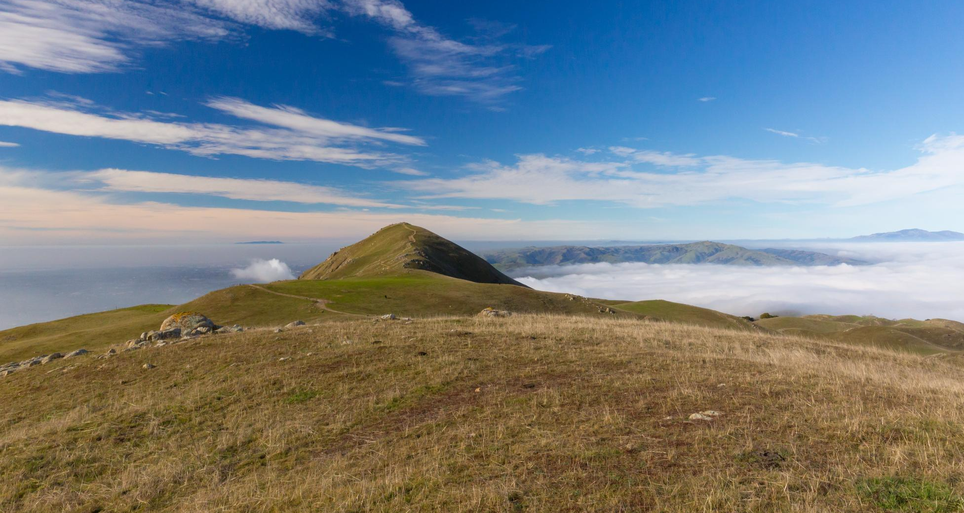
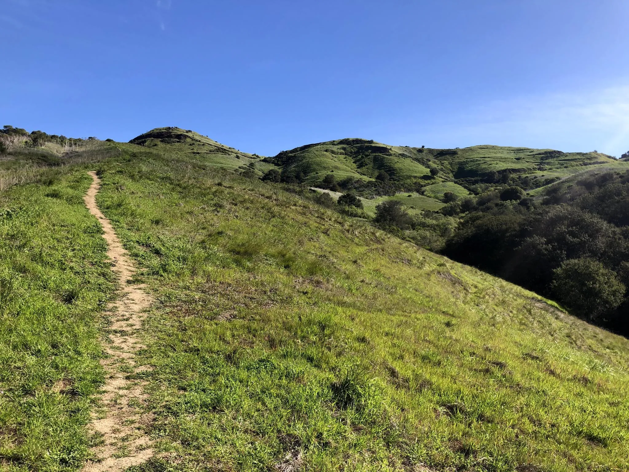
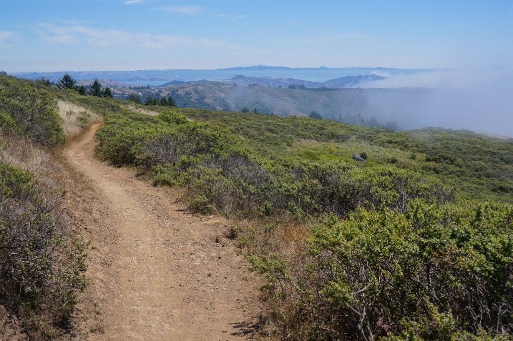



Tips from the Community

An absolute must-see for cycling enthusiasts! This museum in Fairfax tells the story of nearly 200 years of cycling history, from 19th-century velocipedes to modern racing bikes. It's also home to the Mountain Bike Hall of Fame, featuring unique specimens and stories about the pioneers of mountain biking. The collection is impressive and authentic—no replicas, but real bicycles that showcase the evolution of technology and design. An inspiring place where you can truly feel the passion for cycling.
1
0

Paved section riding on the ridge between Pan Toll Road and Fairfax-Bolinas Road where it contains as Bolinas Ridge Trail, with spectacular views along the way toward the Pacific Ocean and Stinson Beach far below. The road is open during daylight hours only, in winter that means 9am to sunset.
0
0

There is a fire road that runs along the treeless top of the uplands, as well as a winding paved drive down by the coast. There are also some steep hiking trails. From the uplands you get great views of San Francisco Bay and especially Angel Island.
0
0

Mount Tam East Peak offers some of the most majestic views north of the bay. From this vantage point, you can see all of Marin, along with Point Reyes to the north and Oakland and San Francisco to the south. The stunning panoramic vistas make the journey well worth the effort. There are restrooms and picnic tables, ideal for a snack or lunch while you capture some incredible photos.
0
0

Constructed in 1917 this dam forms Alpine Lake, which sites between Kent and Bon Tempe Lakes. The road across the top of the dam make it a great place to ride on a loop around the lake.
0
0
This lake was formed by the building of Alpine Dam in 1917. It sits between Kent Lake and Bon Tempe Lake, and is popular for a variety of outdoor activities.
0
0


Often busy on weekends, this is a great spot to take moment before/after summiting Mt Tam. There are spigots to fill up water and bathrooms that are open during park hours. The parking lot is very close for those that drive up. There is access to MANY trails for those on foot/bike.
0
0
Frequently Asked Questions
How many no-traffic road cycling routes are available in Mount Tamalpais State Park?
There are 7 dedicated no-traffic road cycling routes in Mount Tamalpais State Park featured in this guide. These routes offer a range of distances and elevations, providing options for various fitness levels.
What kind of terrain and difficulty can I expect on these no-traffic road cycling routes?
The no-traffic road cycling routes in Mount Tamalpais State Park primarily feature paved surfaces, but often include significant elevation changes. You can expect challenging climbs, with some routes gaining over 1,000 meters. The park is known for its demanding yet rewarding rides, offering a mix of moderate and difficult options. For example, the Pantoll Road – Mount Tamalpais Summits loop from Mill Valley is rated difficult, while the Pan Toll Road via Panoramic Highway is a moderate option.
Are there any beginner-friendly no-traffic road cycling routes in Mount Tamalpais State Park?
While many routes in Mount Tamalpais State Park involve significant climbing, there are moderate options that might be suitable for cyclists with some experience looking for a challenge. This guide features 4 moderate routes, such as the Mount Tamalpais State Park – Mountain Home Inn loop from Tamalpais-Homestead Valley, which covers 22.6 km with 569 meters of elevation gain. It's important to assess your fitness level before attempting any route.
What scenic viewpoints and natural features can I see along the no-traffic road cycling routes?
Mount Tamalpais State Park is renowned for its breathtaking vistas. Along these routes, you can expect panoramic views of the Pacific Ocean, the Golden Gate Bridge, San Francisco, and the East Bay Hills. The park's diverse ecosystems include redwood forests, oak woodlands, and open grasslands. Notable natural features include tranquil lakes like Bon Tempe Lake and Alpine Lake, which you can experience on the Alpine Lake – Alpine Dam loop from San Anselmo. You might also catch glimpses of the famous Seven Sisters, a series of challenging rollers.
Are there any specific landmarks or attractions accessible from these routes?
Yes, several points of interest are within or near the park's cycling routes. The Mount Tamalpais Summits offer expansive 360-degree views. You can also find the historic West Point Inn, known for its monthly pancake breakfasts, accessible by trail. The Old Railroad Grade, the path of the historic "Crookedest Railroad in the World," offers a glimpse into the park's past and can be ridden on a road bike in many sections.
Where can I park when accessing these no-traffic road cycling routes?
Mount Tamalpais State Park offers various parking areas. Depending on your chosen starting point, you can find parking at locations like Pantoll Campground, Bootjack Picnic Area, or near the East Peak summit. Always check for specific parking regulations and fees before your visit. Some routes, like those starting from Mill Valley or San Anselmo, may have street parking or designated lots in town.
What is the best time of year to go road cycling in Mount Tamalpais State Park?
Mount Tamalpais State Park offers excellent cycling conditions for much of the year. Spring and fall generally provide mild temperatures and clear skies, making them ideal. Summer can be warm, but the higher elevations often provide cooler air and a unique experience of being above the rolling fog. Winter can bring rain, but clear days are still great for riding, though some sections might be damp. Always check the local weather forecast before heading out.
Are there any circular no-traffic road cycling routes in the park?
Yes, many of the routes in this guide are designed as loops, allowing you to start and end at the same point. For example, the Pantoll Road – Mount Tamalpais Summits loop from Mill Valley and the Alpine Lake – Alpine Dam loop from San Anselmo are both excellent circular options, providing a continuous and scenic ride.
What do other road cyclists enjoy most about cycling in Mount Tamalpais State Park?
The komoot community highly rates the road cycling experience in Mount Tamalpais State Park, with an average score of 4.6 out of 5 stars. Reviewers frequently praise the challenging climbs, the rewarding panoramic views of the Pacific Ocean and San Francisco Bay, and the diverse natural landscapes, from redwood forests to open grasslands. The feeling of being above the fog is also a commonly mentioned highlight.
Are there cafes or places to get refreshments near the no-traffic road cycling routes?
While the routes themselves are often remote, there are options for refreshments in the towns surrounding Mount Tamalpais State Park, such as Mill Valley, Stinson Beach, and San Anselmo. The historic West Point Inn, accessible by trail, also offers refreshments and is known for its monthly pancake breakfasts. It's always a good idea to carry sufficient water and snacks, especially on longer rides.
Can I access Mount Tamalpais State Park by public transport with my bike?
Public transport options to Mount Tamalpais State Park are limited, especially for bringing bikes directly to trailheads. Some local bus services might operate in the surrounding towns, but their bike policies and routes into the park itself vary. For the most flexibility and direct access to the no-traffic road cycling routes, driving and parking or cycling from nearby towns are generally the most practical options. You can check the Marin County Transit website for current bus schedules and bike policies.
Most popular routes in Mount Tamalpais State Park
Most popular attractions in Mount Tamalpais State Park

Get inspired with the komoot mobile app


Explore more
Browse the best Road cycling routes in other regions.
