The 10 Most Amazing Peaks around Birenbach
Best mountain peaks around Birenbach offer scenic views and opportunities for outdoor activities. Birenbach is situated at the base of the Hohenstaufen and within the eastern foothills of the Swabian Jura. The surrounding area features several prominent elevated points that provide historical significance and natural beauty. These locations are significant for hiking and experiencing the local landscape.
Best mountain peaks around Birenbach
- The most popular mountain peaks is Pilgrimage Church of St. Mary on Hohenrechberg, a religious building that…
Last updated: October 10, 2026
Hohenstaufen Castle Ruins and Viewpoint
Highlight • Castle
Translated by Google •
Tip by

Pilgrimage Church of St. Mary on Hohenrechberg
Highlight • Religious Site
Translated by Google •
Tip by

Sign up now to discover places like this
Get recommendations on the best single tracks, peaks, & plenty of other exciting outdoor places.
View of Rechberg
Highlight • Viewpoint
Translated by Google •
Tip by

Hohberg Summit (498 m)
Highlight • Summit
Translated by Google •
Tip by

View of Hohenstaufen
Highlight • Viewpoint
Translated by Google •
Tip by

Sign up for free to discover even more peaks around Birenbach.
Already have an account?
Start today with a free account
Your next adventure awaits.

Tips from the Community

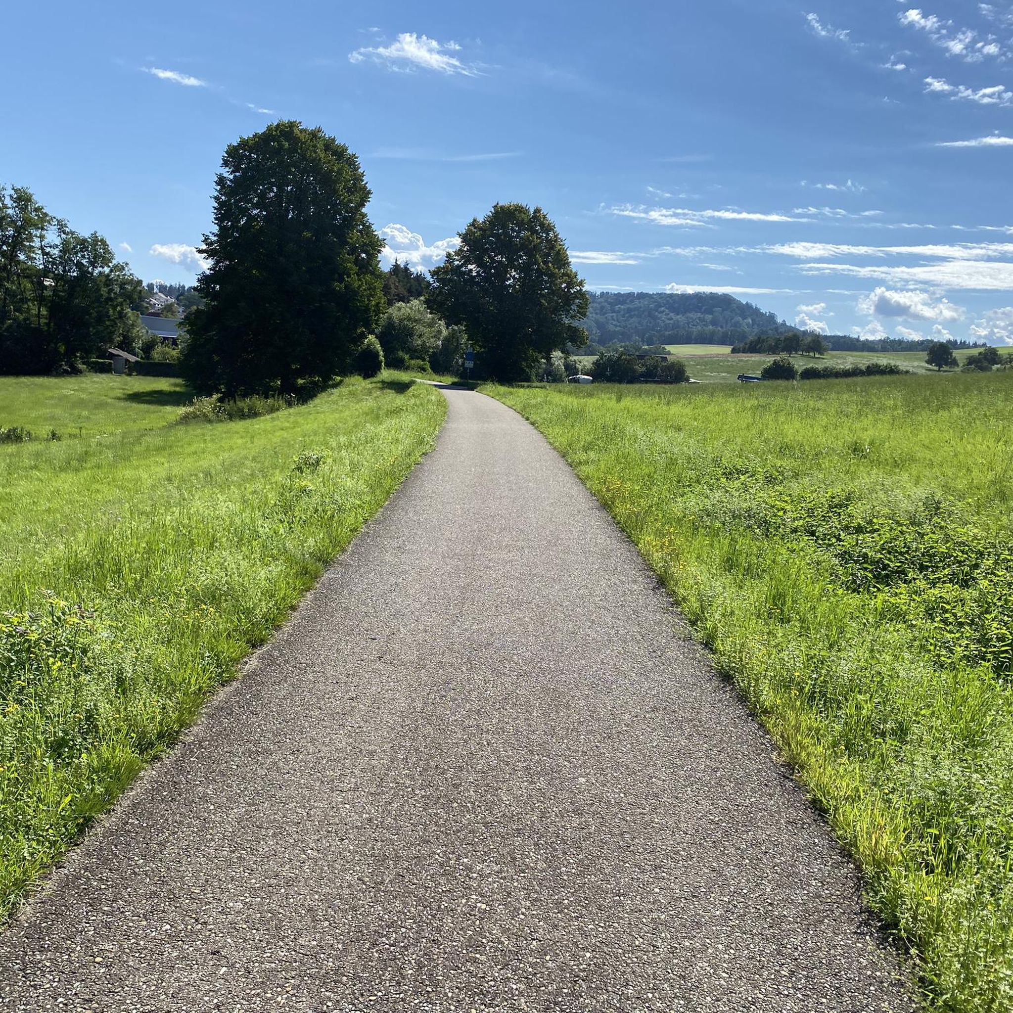
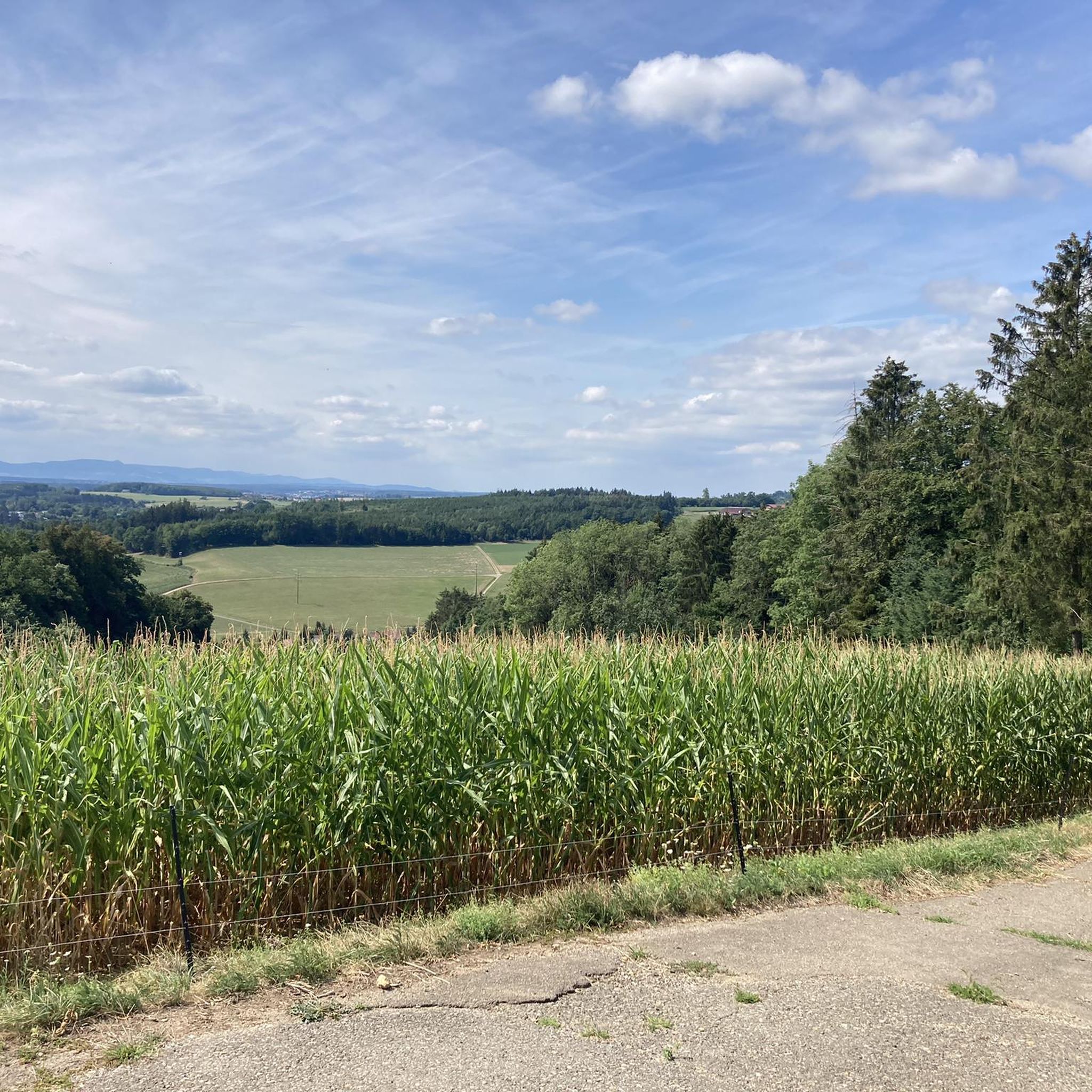
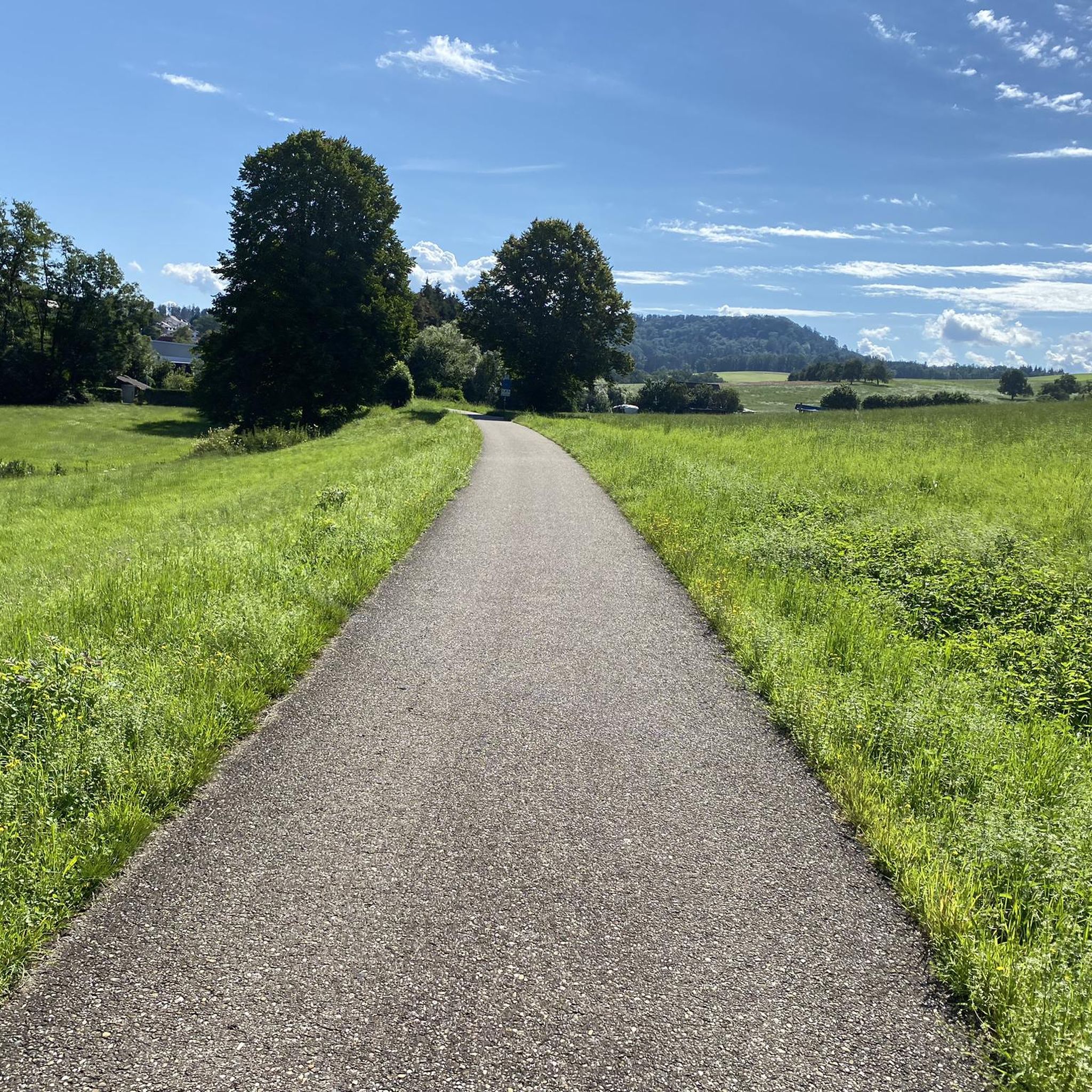
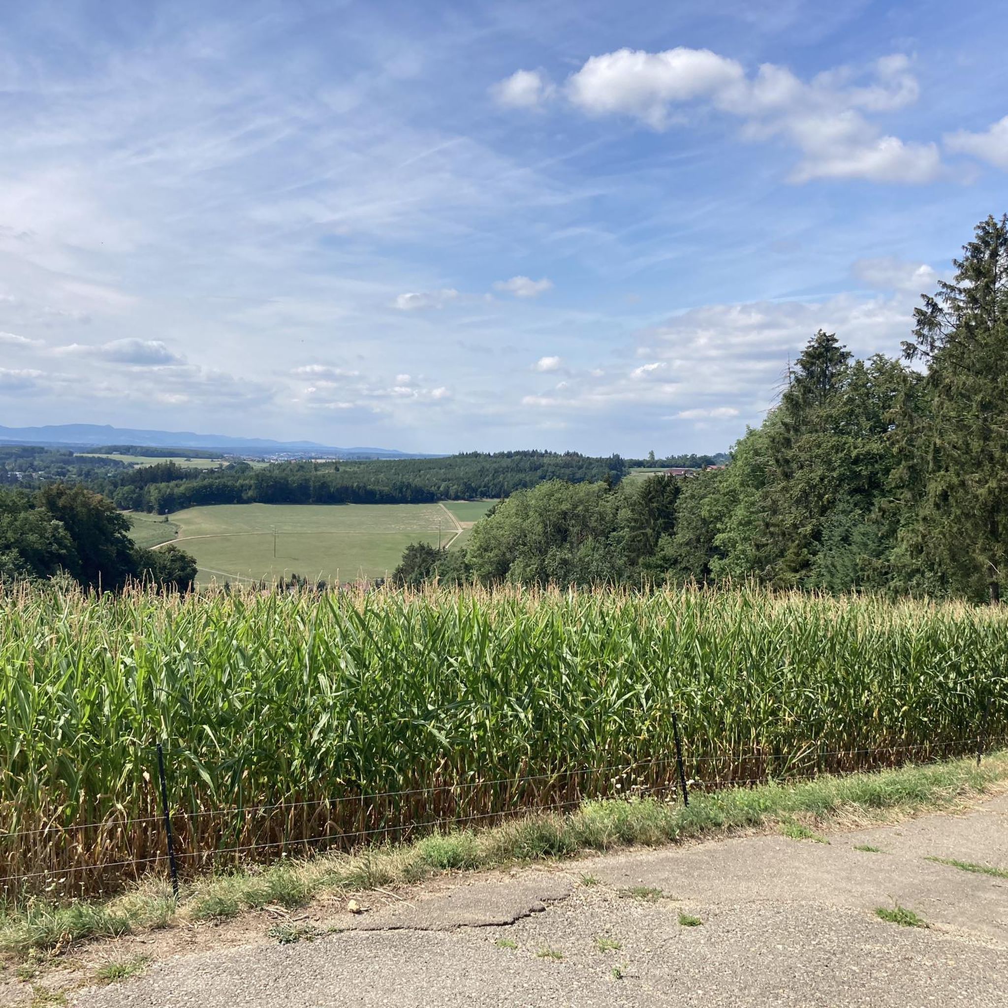
The Hohe Rechberg from the back, otherwise I always see it from the south.
4
0

A great route from the Hölltal in Schwäisch Gmünd up via Metlangen and then the Rechberg to the Schurrenhof with great views.
2
0

Great panorama. Great route with ups and downs
1
0

The railway line is great to drive with many such views
4
0

Very nice to ride the bike 🚴🏿 ♀️ great hm you can do it
1
0

The 498 meter high Hohberg does not offer a view, but at its highest point there is a hut and a summit cross.
1
0

The Hohenstaufen is a 684 m above sea level. NHN[1] high witness mountain near Göppingen in front of the Swabian Jura. Its cone is visible from afar and is a striking element of the landscape silhouette around Göppingen. In addition to the Stuifen and the Rechberg, the Hohenstaufen is the westernmost of the three Kaiserberge mountains, which are close together and lie between the Rems valley in the north and the Lauter and Fils valleys in the south. The part of the name staufen corresponds to the old name Stauf for a pointed, cone-shaped mountain (derived from the West Germanic adjective *staupa- meaning "steep").[2] On the mountain are the ruins of the ancestral castle of the Staufer noble family, the former Hohenstaufen Castle. A panel on the summit explains the panorama. Since June 1, 2002, a Staufer stele has stood on the mountain to commemorate the Staufer period.[3] There is also a small excursion restaurant. The summit can only be reached on foot, the shortest way from the Göppingen district of Hohenstaufen. On the south-west slope is the so-called Spielburg, a group of limestone rocks that have slipped from the White Jura rocks.
1
0
Frequently Asked Questions
What are the most popular mountain peaks around Birenbach?
The most popular peaks around Birenbach include the Pilgrimage Church of St. Mary on Hohenrechberg, known for its magnificent views and religious significance. Another highly rated spot is Hohenstaufen Castle Ruins and Viewpoint, offering panoramic vistas and historical insights into the Staufer dynasty. The Hohberg Summit (498 m) is also a beloved destination for hikers.
What historical sites can I explore on the peaks near Birenbach?
The region is rich in history. The Hohenstaufen Castle Ruins are a significant historical example, once serving as the main seat of the Staufer dynasty. The mountain itself was settled long before the castle's construction. Additionally, the Pilgrimage Church of St. Mary on Hohenrechberg is a beautiful religious site with a history dating back to the 15th century as a pilgrimage destination.
Are there good viewpoints from the peaks around Birenbach?
Yes, several peaks offer stunning views. The summit of Hohenstaufen provides beautiful panoramic views due to its exposed location, allowing you to see the Filstal and the Swabian Alb as far as Stuttgart. From the Pilgrimage Church of St. Mary on Hohenrechberg, you can enjoy magnificent views of the Remstal valley towards Gmünd.
What kind of hiking trails are available near Birenbach's peaks?
The area around Birenbach offers a variety of hiking trails. You can find moderate routes like the 'Mimikri Lookout Tower loop from Birenbach' or the 'View of the Three Kaiser Mountains loop from Wäschenbeuren'. There are also easy options such as the 'Bridge Over the Marbach – Kastenklingen Pond loop from Börtlingen' or the 'Kastenklingen Pond – Small waterfall loop from Börtlingen'. For more details, explore the Hiking around Birenbach guide.
Are there easy or family-friendly hikes around Birenbach's peaks?
Absolutely! Birenbach offers several easy and family-friendly hiking options. Routes like the 'Kastenklingen Pond – Small waterfall loop from Börtlingen' (4.5 km) and the 'Gairenhütte – View of Hohenstaufen loop from Birenbach' (4.6 km) are great choices. These trails are generally less strenuous and suitable for a relaxed outing. You can find more easy routes in the Easy hikes around Birenbach guide.
Can I find food and drink options near the mountain peaks?
Yes, you can. At Hohenstaufen, there is a small excursion restaurant called 'Himmel & Erde' offering regional cuisine and cakes. On weekends, grilled sausages, coffee, and cool drinks are sometimes available on the roof terrace. The Hohenrechberg Summit also features a restaurant with good food and a great view.
What makes Hohenstaufen a significant peak to visit?
Hohenstaufen is a significant 'witness mountain' with a ruined castle that was once the main seat of the Staufer dynasty. Its exposed location provides beautiful panoramic views of the surrounding landscape, including the Filstal and the Swabian Alb. It's a perfect blend of natural beauty and historical importance, accessible only on foot or by bike.
What is special about the Hohenrechberg peak?
Hohenrechberg is notable for its beautiful Pilgrimage Church of St. Mary, which sits on a plateau and offers magnificent views of the Remstal valley. The steep ascent to the summit is rewarded with these stunning vistas and the opportunity to visit the historic baroque church. It's also a landmark of the region, together with the ruin Hohenrechberg and the three imperial mountains.
Is Hohberg Summit worth visiting even if it doesn't offer panoramic views?
While the Hohberg Summit (498 m) is wooded and doesn't offer wide panoramic views, it is still a rewarding destination for hikers. It features a hut with benches and a table, where you can find 'summit books' to sign and a folder with pictures and documents about its construction. It offers a sense of accomplishment and a unique local tradition.
What outdoor activities, besides hiking, can I do near Birenbach's peaks?
Besides hiking, the area around Birenbach is excellent for gravel biking. There are challenging routes like the 'View of Hohenstaufen – View of the Rechberg loop from Spielburg' (94.9 km) and other difficult and moderate options. You can explore these routes in the Gravel biking around Birenbach guide.
What do visitors particularly enjoy about the peaks around Birenbach?
Visitors highly appreciate the breathtaking views, especially from Hohenstaufen, where they can see far across the landscape. The historical significance of the castle ruins and the pilgrimage church also draws many. The availability of small restaurants and kiosks at the summits for refreshments is also a popular feature, along with the well-maintained trails for various skill levels.
What is the best time to hike the peaks around Birenbach?
The peaks around Birenbach can be enjoyed throughout much of the year. Spring and autumn offer pleasant temperatures and beautiful scenery with blooming nature or vibrant fall colors. Summer is also great, though it can be warmer. Even in winter, some trails are accessible, but be prepared for potentially exhausting conditions, especially on steeper sections, due to snow.
Are there any challenging climbs for experienced hikers around Birenbach?
While many trails are moderate or easy, the ascents to peaks like Hohenrechberg can be steep, with gradients up to 18% in some sections, providing a good challenge. For gravel biking, there are several difficult routes, such as the 'View of Hohenstaufen – View of the Rechberg loop from Spielburg', which covers a significant distance and elevation, offering a strenuous workout.
Can I bring my dog on the trails around Birenbach's peaks?
Generally, trails in natural areas around Birenbach are dog-friendly, allowing you to enjoy hikes with your canine companion. However, it's always recommended to keep dogs on a leash, especially near historical sites, populated areas, or where wildlife might be present. Check local signage for any specific restrictions on individual trails or at specific attractions.
Most popular attractions around Birenbach

Get inspired with the komoot mobile app


Explore more
See even more amazing summits around Birenbach with these guides:
