The best mountain hikes around Ilvesheim
4.5
(2)
6
hikers
3
hikes
Mountaineering routes around Ilvesheim are situated within the Rhein-Neckar district, characterized by its position on a large natural loop of the Neckar River and proximity to the Odenwald low mountain range. The landscape features a mix of riverine areas, vineyards, meadows, and forested hills. While not traditional high-alpine mountaineering, the region offers challenging "mountain hikes" with significant elevation gains, particularly in the Odenwald, requiring good fitness.
Best mountaineering routes around Ilvesheim
- The most popular mountaineering route is Ölberg – Schwedenschanze…
Last updated: July 2, 2026
5.0
(1)
4
hikers
7.09km
02:26
320m
320m
Moderate mountaineering route. Good fitness required. Mostly accessible paths. Sure-footedness required.
4.0
(1)
1
hikers
11.8km
03:42
410m
410m
Moderate mountaineering route. Good fitness required. Mostly accessible paths. Sure-footedness required.

Sign up for free
1
hikers
Moderate mountaineering route. Good fitness required. Mostly accessible paths. Sure-footedness required.
Our route recommendations are based on thousands of hikes, rides, and runs completed by other people on komoot.
Start today with a free account
Your next adventure awaits.
Login or Signup
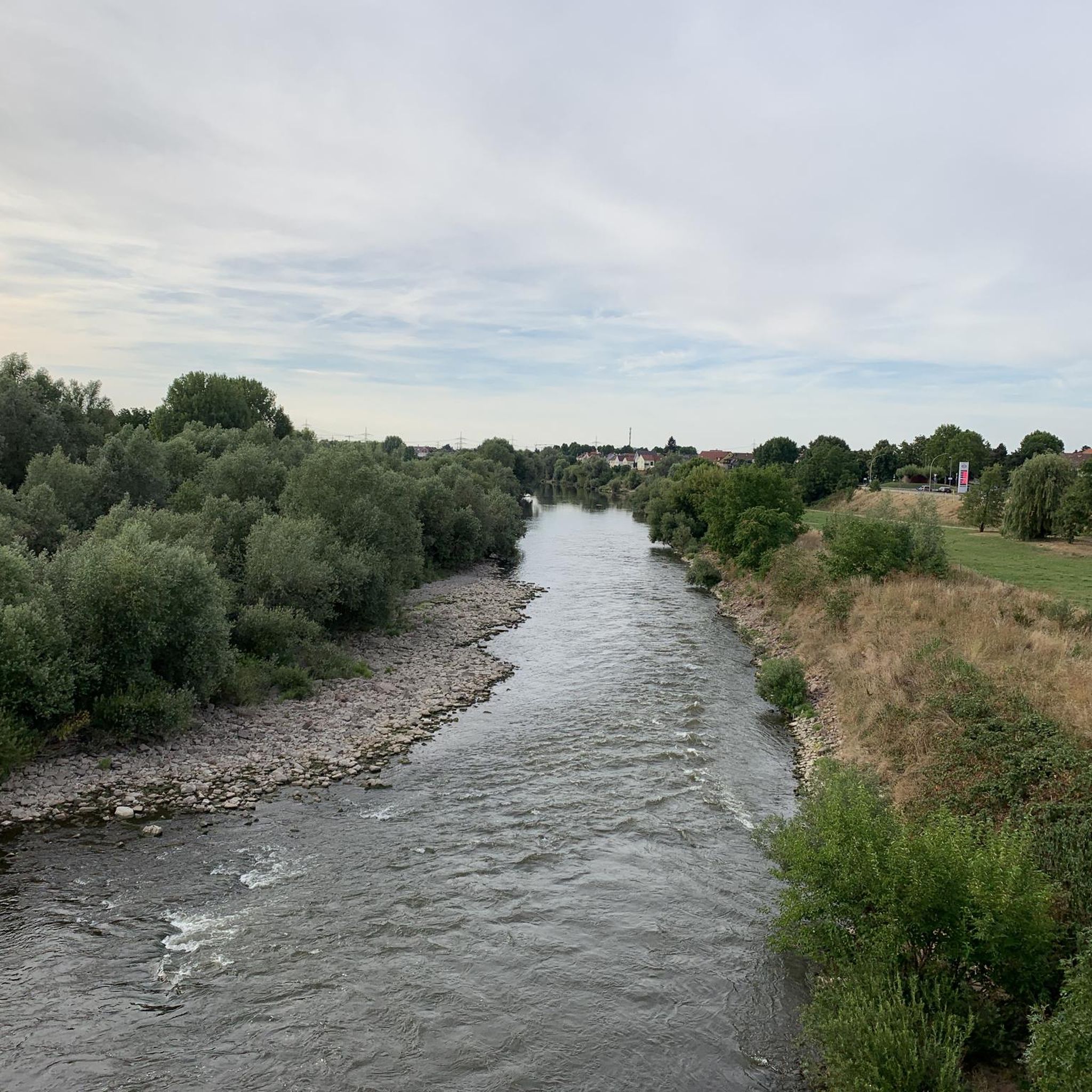
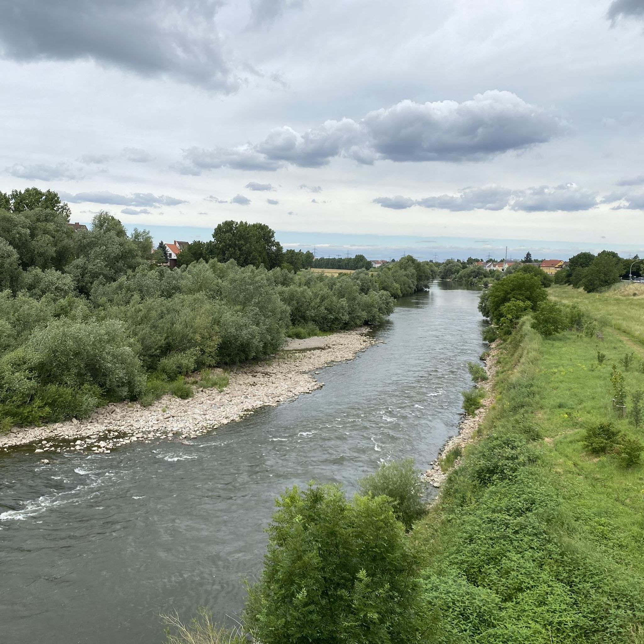
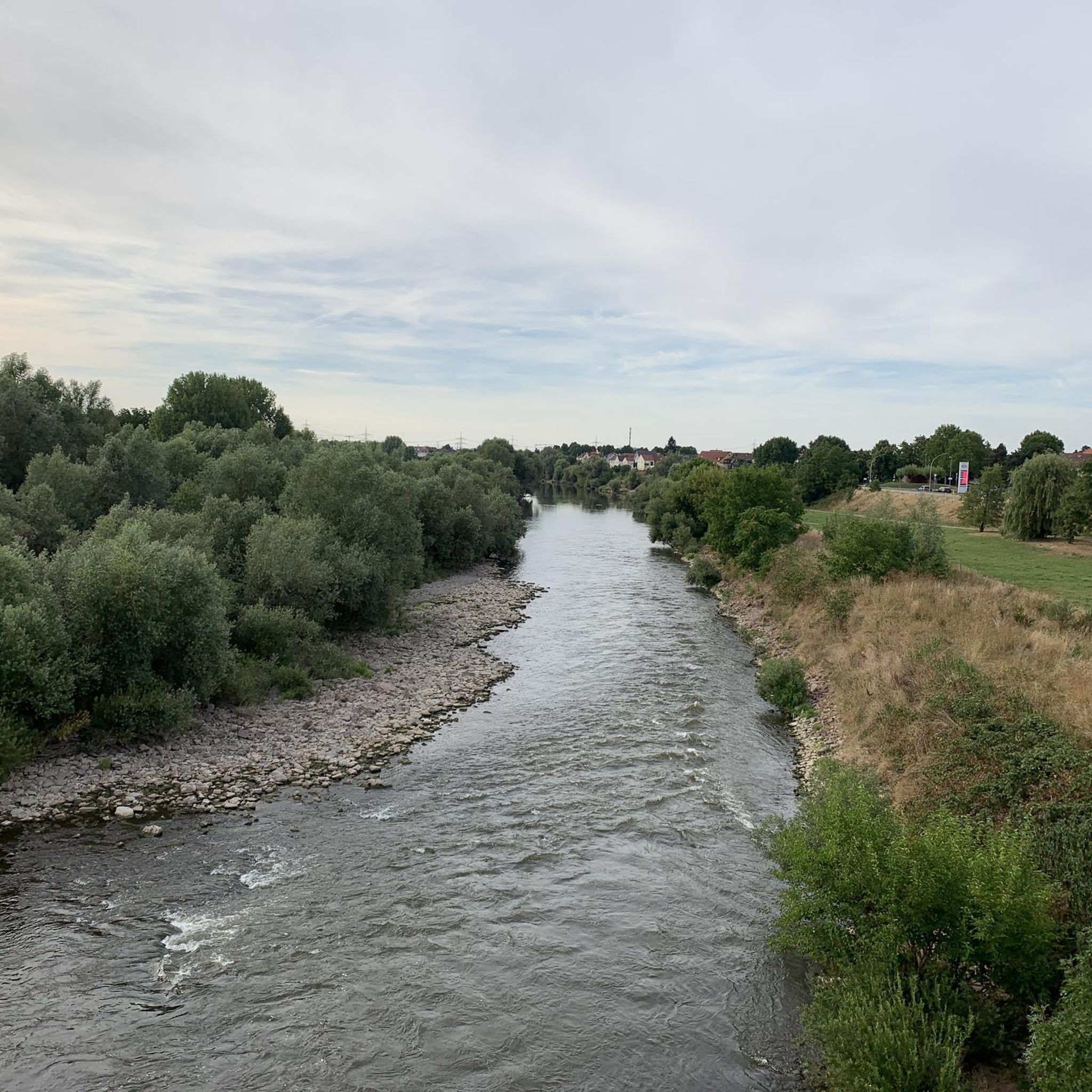
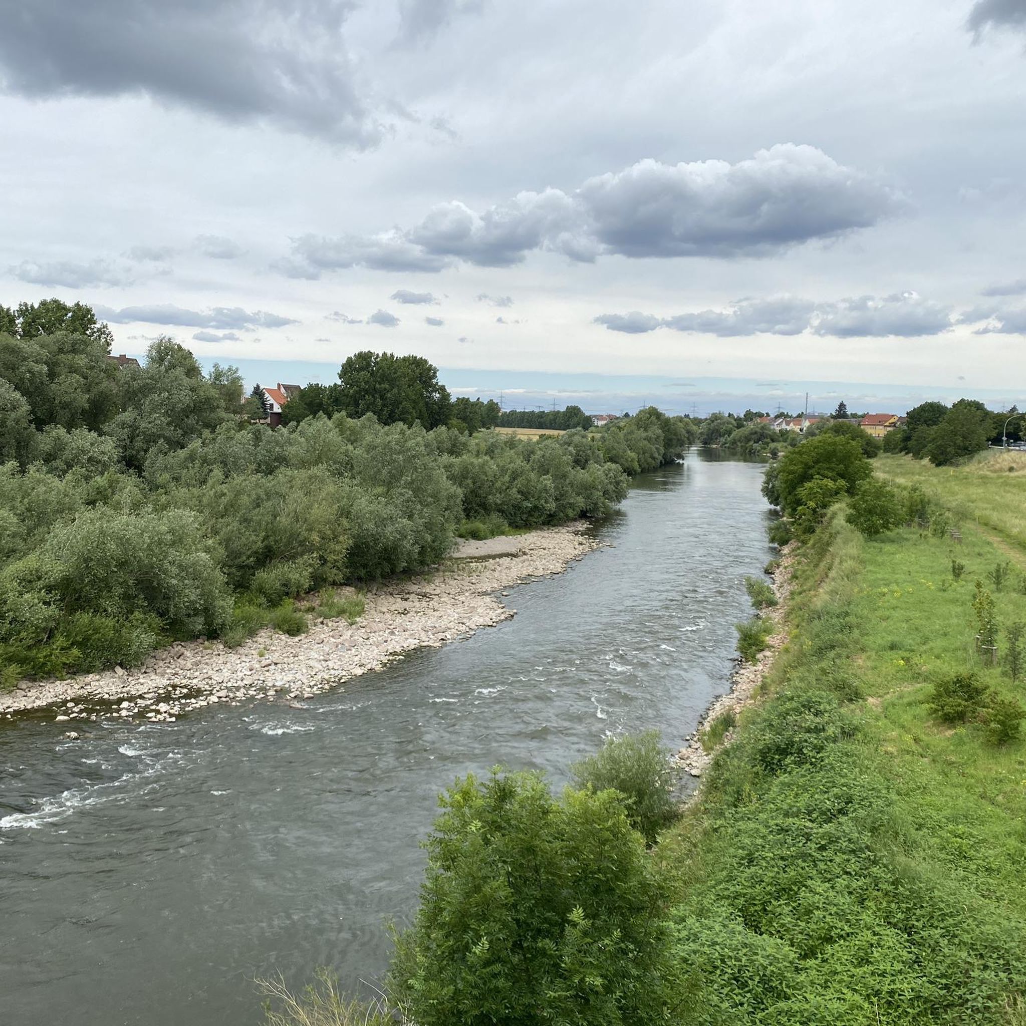
Tips from the Community

Beautiful view into the distance.
0
0
Beautiful landscapes and views in all directions.
0
0


Be careful when taking pictures that the Strahlenburg does not fall out of the frame ;-)
1
0

A very nice photo motif, I like the frames.
3
0

Who likes it ❗❗
1
0

Recently I have noticed several of these frames... Striking tourist-relevant places in the Rhein-Neckar district can be framed in this way for travel greetings
3
0

The medieval ruins offer a view of the surrounding natural and cultural landscape. The challenging climb up to the castle is an ideal section to test your fitness and sure-footedness before you can enjoy the reward of the wide panoramic view.
0
0
Frequently Asked Questions
What kind of mountaineering experience can I expect around Ilvesheim?
While not traditional high-alpine mountaineering, the region around Ilvesheim offers challenging 'mountain hikes' with significant elevation gains, particularly in the nearby Odenwald low mountain range. These routes require good fitness and sure-footedness, similar to alpine hikes, and traverse diverse landscapes including riverine areas, vineyards, meadows, and forested hills.
How challenging are the mountaineering routes around Ilvesheim?
The mountaineering routes around Ilvesheim are generally considered moderate, with elevation gains up to approximately 487 meters (1,600 feet) on routes like the Strahlenburg Hiking Trail loop from Dossenheim Süd. While not technically demanding like high-alpine climbing, they do involve notable elevation changes and require a good level of fitness.
Are there any easy mountaineering routes suitable for beginners in Ilvesheim?
All the listed mountaineering routes around Ilvesheim are rated as moderate. While there are no routes specifically classified as 'easy' in this guide, the region offers a variety of hiking trails with varying degrees of difficulty. For those new to mountaineering, routes like the Ölberg – Schwedenschanze loop from Schriesheim, at 6.7 km, might be a good starting point to gauge your fitness.
Can I bring my dog on the mountaineering trails in Ilvesheim?
Generally, dogs are welcome on hiking trails in the Odenwald region. However, it's always advisable to keep your dog on a leash, especially in nature reserves, near wildlife, or in areas with livestock. Be sure to check local regulations for specific trails or protected areas you plan to visit.
Are the mountaineering routes around Ilvesheim suitable for families with children?
The mountaineering routes in this guide are rated as moderate and involve significant elevation changes, making them more suitable for families with older children who are accustomed to longer, more strenuous hikes. For younger children, you might consider shorter, less steep sections of trails or explore the many family-friendly walking paths along the Neckar River or through local meadows.
What natural features can I expect to see along the mountaineering routes?
The routes often feature the scenic Neckar River valley, extensive vineyards, and the deep forests of the Odenwald low mountain range. You might also encounter unique natural monuments like the Spatschlucht Gorge, formed by historical mining, or enjoy views over the river and surrounding landscapes.
Are there circular mountaineering routes available in Ilvesheim?
Yes, all the featured mountaineering routes in this guide are circular. For example, you can explore the Hohe Waid Summit Cross – Schanzenköpfle Ruins loop from Leutershausen or the Drei Eichen Playground – Seven Ways Junction (Odenwald) loop from Dossenheim Süd, both offering varied terrain and scenic views back to your starting point.
What are some notable landmarks or viewpoints along the mountaineering routes?
Many routes offer stunning vistas. You can find panoramic views from View of the Schriesheim Quarry from the Ölberg, or visit the historic Hohe Waid Summit Cross. The Strahlenburg Castle, accessible via routes like the Strahlenburg Hiking Trail loop from Dossenheim Süd, also offers expansive views of vineyards and the Rhine Valley.
What is the best time of year for mountaineering around Ilvesheim?
The spring, summer, and autumn months are generally the best for mountaineering around Ilvesheim. During these seasons, the weather is more favorable, and the trails are typically clear. While winter mountaineering is possible, some paths might be slippery or require appropriate gear due to snow or ice, especially in higher elevations of the Odenwald.
How can I access the mountaineering trails around Ilvesheim using public transport?
Ilvesheim is well-connected within the Rhein-Neckar region. You can often reach starting points for trails via local bus services or regional trains. For specific routes, it's recommended to check the local public transport schedules (e.g., VRN - Verkehrsverbund Rhein-Neckar) to plan your journey to nearby towns like Schriesheim, Leutershausen, or Dossenheim Süd, from where many routes begin.
Are there any cafes or pubs near the mountaineering routes in Ilvesheim?
Yes, many of the towns and villages surrounding the mountaineering routes, such as Schriesheim, Leutershausen, and Dossenheim, offer various cafes, restaurants, and traditional pubs where you can refuel and relax after your hike. It's a good idea to check opening hours in advance, especially if you're hiking during off-peak seasons.
What do other mountaineers enjoy most about the routes in Ilvesheim?
The area is highly rated by the komoot community, with an average score of 4.5 stars. Reviewers often praise the varied terrain, the scenic views over the Neckar Valley and vineyards, and the well-maintained trails through the forested Odenwald. The combination of natural beauty and challenging ascents makes for a rewarding experience.
Most popular routes around Ilvesheim
Most popular attractions around Ilvesheim

Get inspired with the komoot mobile app


Explore more
Browse the best Mountain Hikes & Routes in other regions.
