The best running trails around Lacs de Crupillouse
5.0
(1)
296
runners
18
runs
Jogging around Lacs de Crupillouse offers challenging running routes through a mountainous landscape within the Écrins National Park. The region is characterized by significant elevation changes, with trails featuring steep ascents and descents, often navigating high-altitude paths and alpine environments. Runners can expect varied terrain, including rocky inclines and scree slopes, set amidst a mineral landscape with glacial cirques and numerous cascades. This area primarily features difficult routes, catering to experienced runners seeking strenuous workouts.
Best jogging routes around Lacs…
Last updated: July 3, 2026
27
runners
16.1km
02:58
1,290m
1,290m
Hard run. Very good fitness required. Mostly paved surfaces. Suitable for all skill levels.
27
runners
8.33km
01:24
390m
390m
Hard run. Very good fitness required. Sure-footedness, sturdy shoes and alpine experience required.

Sign up for free
7
runners
Moderate run. Good fitness required. Mostly paved surfaces. Suitable for all skill levels.
14
runners
9.70km
01:08
190m
190m
Moderate run. Good fitness required. Mostly paved surfaces. Suitable for all skill levels.
5.0
(1)
54
runners
19.0km
03:50
1,380m
1,380m
Hard run. Very good fitness required. Sure-footedness, sturdy shoes and alpine experience required.
Get access to more routes and recommendations from other explorers.
Sign up for free
Already have an account?
Our route recommendations are based on thousands of hikes, rides, and runs completed by other people on komoot.
Start today with a free account
Your next adventure awaits.
Login or Signup


Tips from the Community

A nice place for a well-deserved break...
0
0

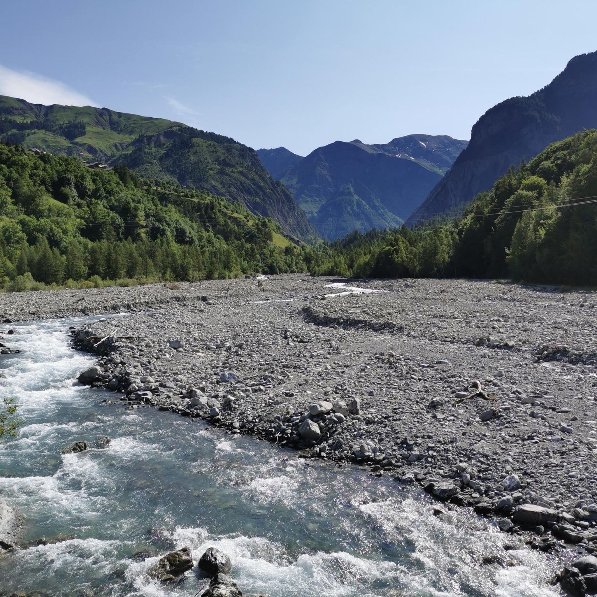
This stone bridge, crossing a quiet stream, is surrounded by green hills and dense forests. If you want to take a break and dip your feet in the water, this is the perfect place!
0
0

Great spot, really friendly, very helpful staff. BUT - call ahead to make a reservation if you want to eat their food (though I saw people using tables, with their own food). AND - take cash if you've planned to eat there (they don't take cards).
0
0

Don't hesitate to stop at this refuge for lunch (reservations recommended). The vegetarian menu or the charcuterie platter are excellent and the staff is super friendly.
0
0

We did the tour in mid-May 2023 and unfortunately we couldn't get through to the lakes due to the snow. You could have guessed, now we're smarter :) I'll be back some other time, the tour looks fantastic!
0
0

Pretty mountain lakes just below the Col de Pétarel. They offer stunning colors and views!
0
0
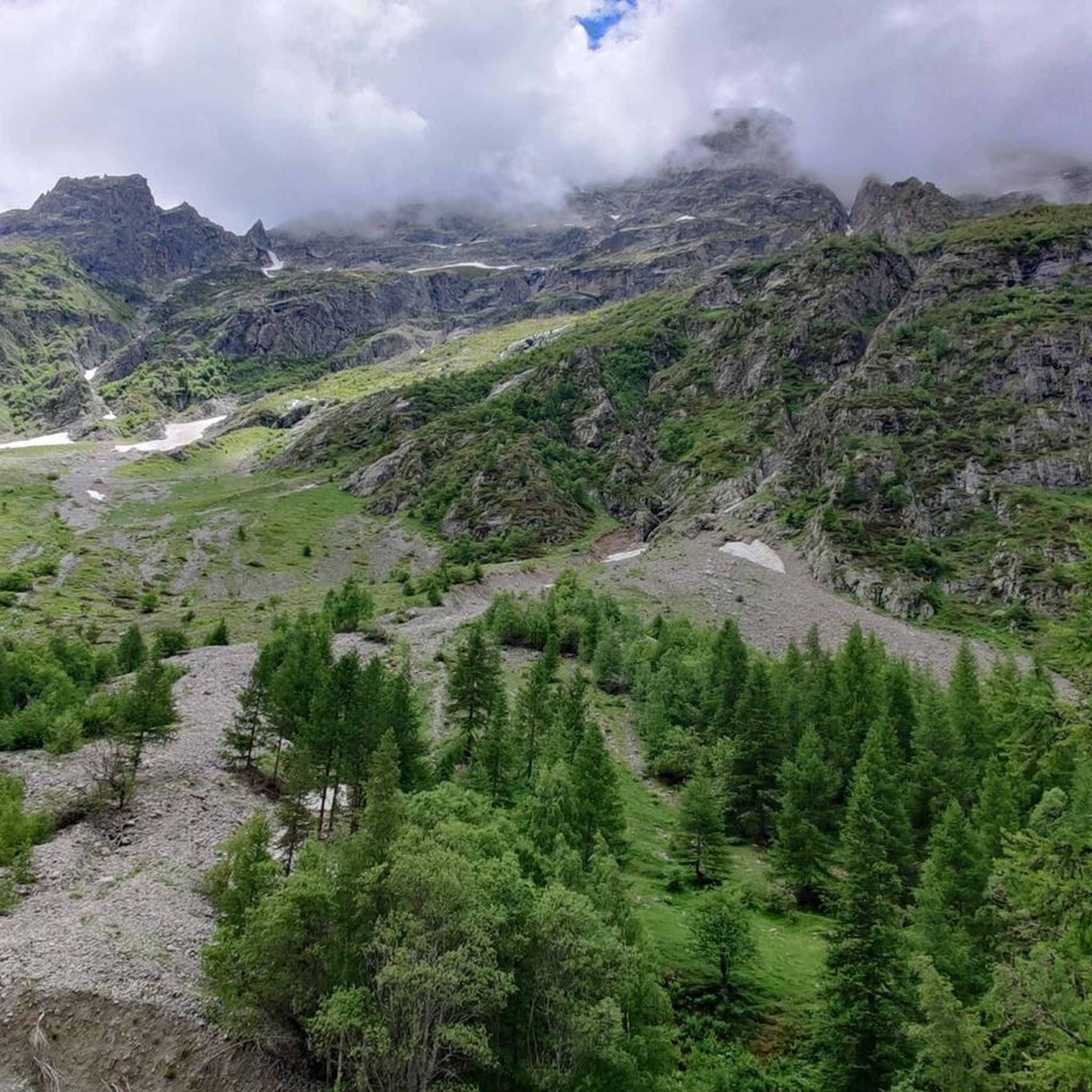
The Pétarel lakes are located at 2,090 meters perched on a plateau. The lakes are absolutely stunning in color with the Valgaudemar valley and its peaks in the background.
0
0
The Col de Pétarel is located at an altitude of 2,450 meters. From the pass there is a splendid view of the lakes and peaks of Valgaudemar.
1
0
Frequently Asked Questions
How many running routes are available in Lacs de Crupillouse?
There are over 15 dedicated running routes in the Lacs de Crupillouse region, offering a variety of challenging trails through its mountainous landscape. The area is known for its significant elevation changes and alpine environments.
Are there any easy or beginner-friendly jogging routes in Lacs de Crupillouse?
The Lacs de Crupillouse region is primarily characterized by difficult running routes, with 15 out of 19 trails rated as such. There are 4 moderate routes, but no easy routes are listed, making it more suitable for experienced runners accustomed to high mountain terrain and substantial elevation gains.
What is the typical distance for running trails in Lacs de Crupillouse?
Running trails in Lacs de Crupillouse vary in distance, generally ranging from moderate to long. For example, the Refuge du Pré La Chaumette loop from Massif des Écrins is about 5.5 miles (8.9 km), while the Col du Cheval de Bois – Refuge du Pré La Chaumette loop from Massif des Écrins extends to 11.5 miles (18.5 km).
Are there any circular running routes in the Lacs de Crupillouse area?
Yes, many of the running routes in Lacs de Crupillouse are circular, allowing you to start and finish at the same point. Examples include the popular Ancien refuge loop from Les Baumes and the Refuge du Tourond loop from Champoléon.
Are the running trails in Lacs de Crupillouse suitable for families?
Given the region's focus on difficult and high-altitude trails with significant elevation changes, most running routes in Lacs de Crupillouse are not typically recommended for families with young children or those seeking very easy, flat paths. Experienced families might find some moderate sections suitable, but caution is advised.
Can I bring my dog on the jogging trails in Lacs de Crupillouse?
While many mountain regions are dog-friendly, it's essential to check specific regulations for the national parks or protected areas within Lacs de Crupillouse. Always keep your dog on a leash, especially in alpine environments where wildlife is present, and be mindful of the challenging terrain and potential for livestock.
What is the best time of year for running in Lacs de Crupillouse?
The best time for running in Lacs de Crupillouse is generally late spring through early autumn (June to September). During these months, snow has usually melted from higher elevations, and weather conditions are more stable. Winter running is possible but requires specialized gear and experience due to snow, ice, and colder temperatures.
Are there any running routes that feature waterfalls in Lacs de Crupillouse?
Yes, the region offers routes that pass by scenic natural features. For instance, the Les Houles du Diable Waterfalls – The Chapel of Valgaudemar loop from Le Bourg is a moderate running trail that includes the impressive Les Houles du Diable Waterfalls.
What do other runners say about the trails in Lacs de Crupillouse?
The running trails in Lacs de Crupillouse are highly regarded by the komoot community, boasting an average rating of 5.0 stars. Runners frequently praise the challenging nature of the routes, the stunning alpine scenery, and the rewarding experience of navigating high mountain terrain.
Where can I find parking for the running routes in Lacs de Crupillouse?
Parking availability varies by trailhead. Many routes, especially those starting from villages or refuges like Les Baumes or Champoléon, will have designated parking areas. It's advisable to check the specific route details on komoot for parking information before you set out, as some remote trailheads may have limited space.
Are there any hidden gem running routes in Lacs de Crupillouse?
While the region is known for its challenging and popular trails, exploring routes like the Refuge du Tourond loop from Champoléon can offer a slightly less frequented experience while still providing the characteristic alpine beauty and demanding terrain of Lacs de Crupillouse.
What kind of gear should I wear for running in Lacs de Crupillouse?
Given the mountainous and alpine environment, runners should wear appropriate trail running shoes with good grip, layered clothing suitable for varying weather conditions, and carry water, snacks, and a map or GPS device. High-altitude sun protection is also crucial.
Most popular routes around Lacs de Crupillouse

Get inspired with the komoot mobile app


Explore more
Browse the best Running Trails & Routes in other regions.
