The best mountain hikes around Lac du Vallon
6
hikers
Mountaineering routes around Lac du Vallon are primarily situated within the Ecrins National Park, presenting a high-altitude, rugged, and mineral landscape. This region is characterized by rocky cirques, glacial polished surfaces, and towering peaks exceeding 3,000 meters, such as Rochail and Pointe de Malhaubert. The terrain includes challenging ascents, steep rocky slabs, and technical passages over scree and high ridges, making it suitable for experienced mountaineers.
Best mountaineering routes around Lac du Vallon
- The most popular mountaineering route is Lake…
Last updated: July 3, 2026
2
hikers
4.75km
03:37
500m
490m
Hard mountaineering route. Good fitness required. Sure-footedness, sturdy shoes and alpine experience required.
3
hikers
10.0km
03:29
450m
450m
Moderate mountaineering route. Good fitness required. Mostly accessible paths. Sure-footedness required.

Sign up for free
1
hikers
10.1km
04:05
590m
590m
Moderate mountaineering route. Good fitness required. Mostly accessible paths. Sure-footedness required.
Our route recommendations are based on thousands of hikes, rides, and runs completed by other people on komoot.
Start today with a free account
Your next adventure awaits.
Login or Signup
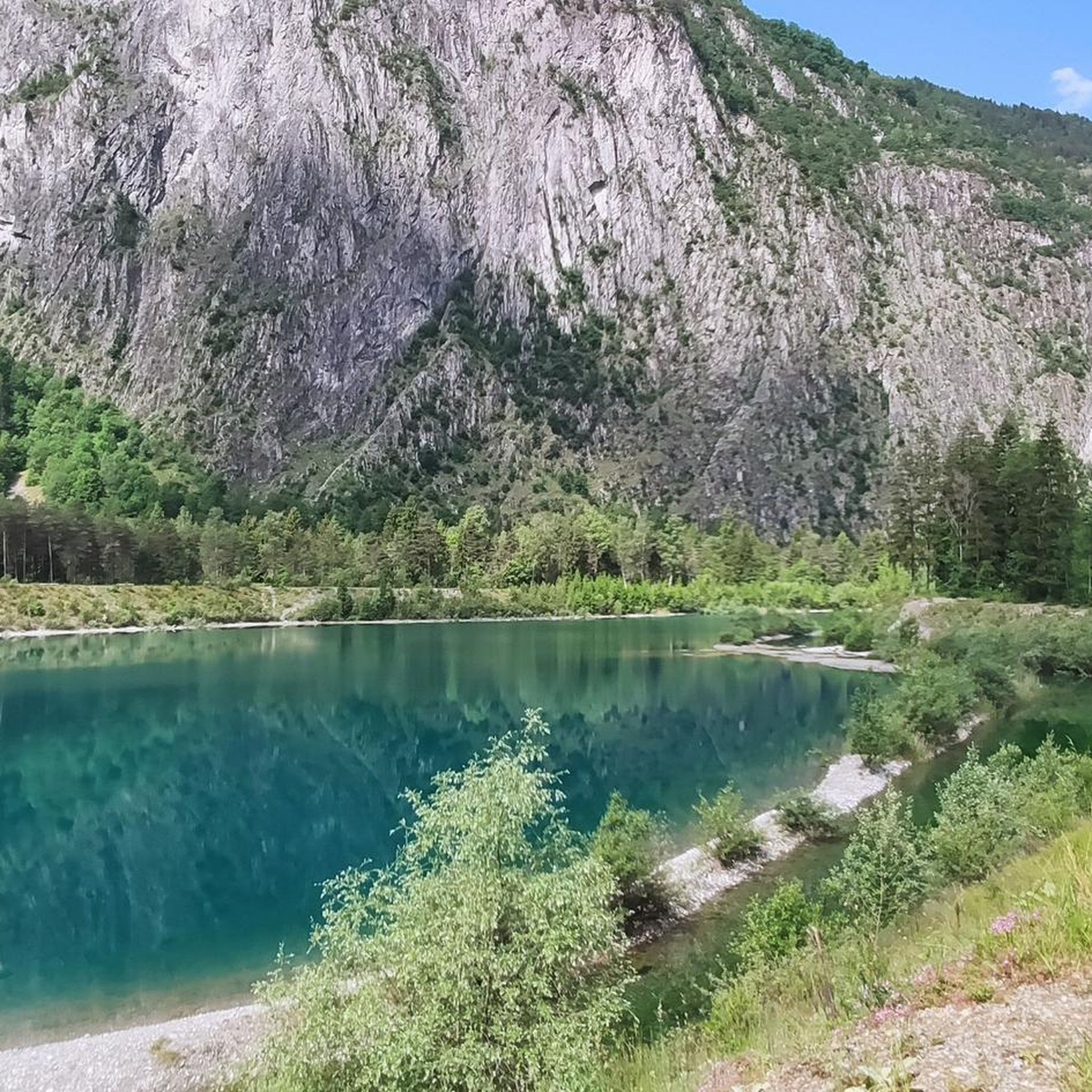


Tips from the Community

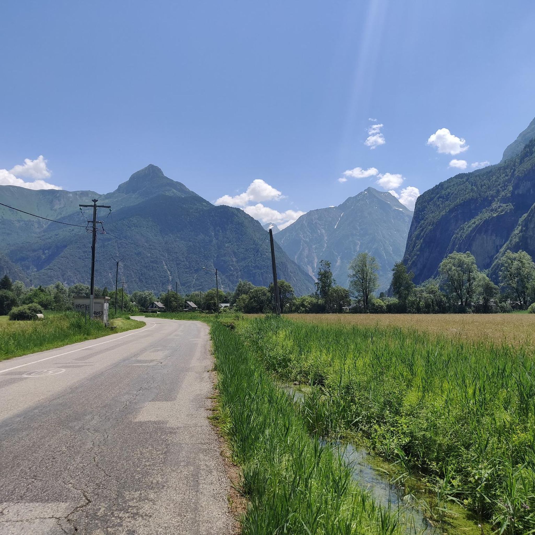
The climb up to the town is great but the place itself is a bit of an over-commercialised, purpose-built tourist trap. Enjoy the climb, grab a coffee then get out of there!
0
0

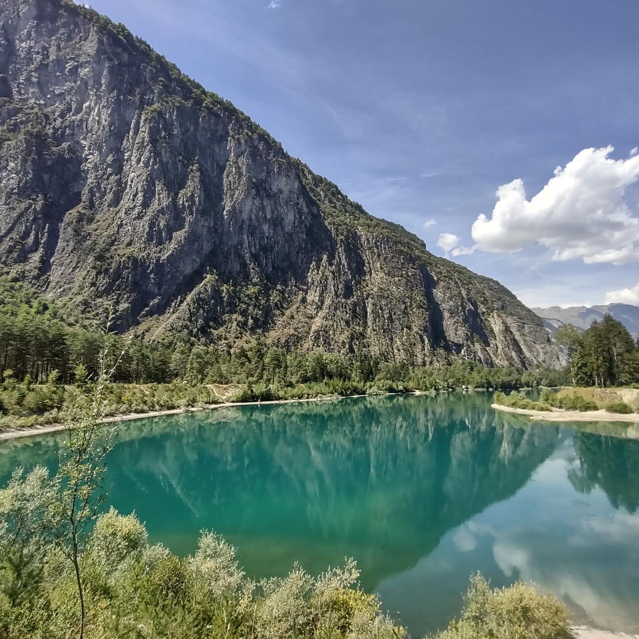
Not far from the Deux Alpes resort, the view of Lake Chambon is magnificent, with the peaks of the Arves massif in the background.
0
0

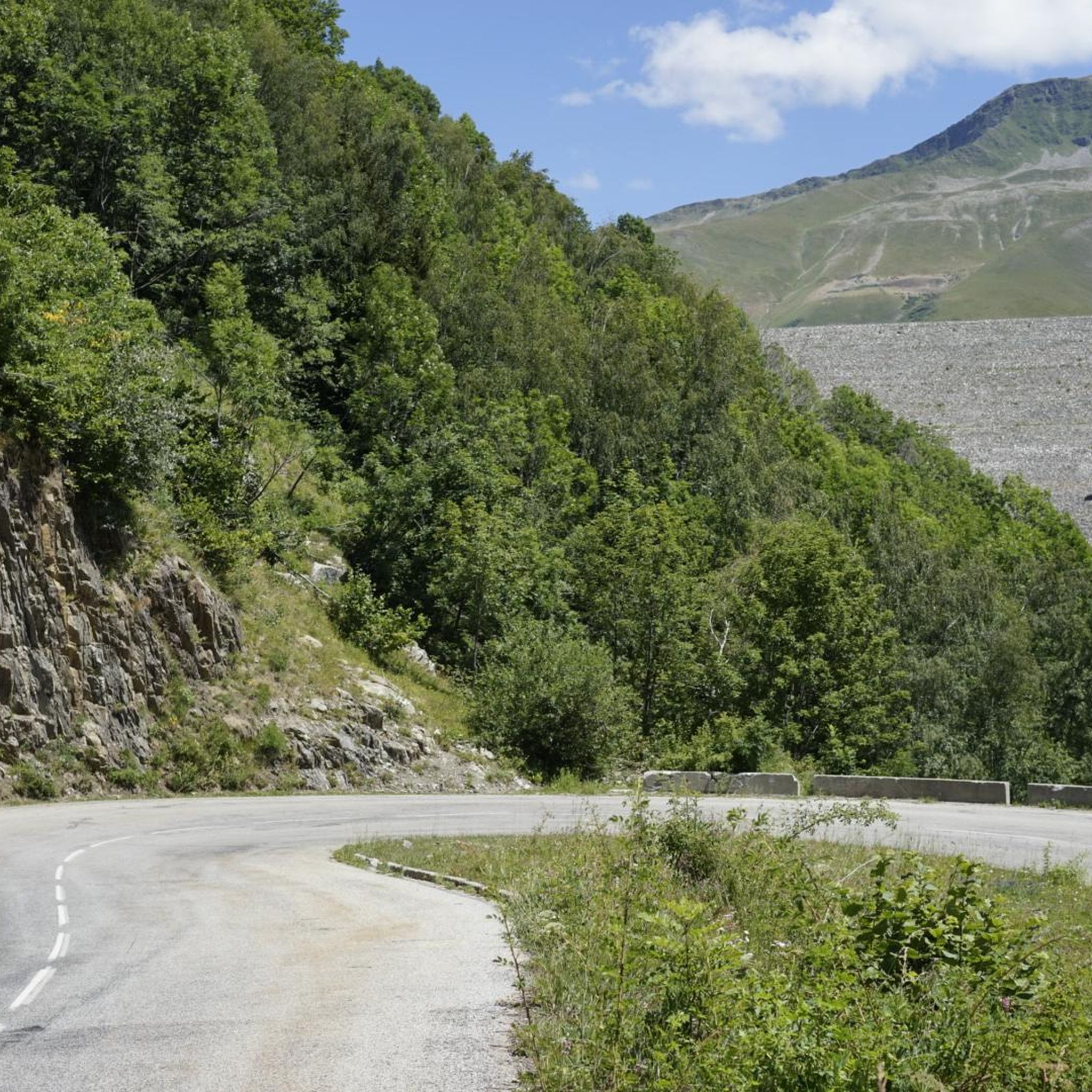
Location where one of the largest ski areas in all of France is located, Les Deux Alpes are famous in the cycling world due to a famous victory by Marco Pantani in the 1998 Tour. The Pirate attacked on the Galibier and arrived alone on the finish line of Les Deux Alpes, where he won the stage and wore the first yellow jersey of his career.
1
0
Frequently Asked Questions
How many mountaineering routes are available around Lac du Vallon?
There are at least 5 distinct mountaineering routes detailed around Lac du Vallon, offering a range of challenges for experienced trekkers. These routes are primarily situated within the Ecrins National Park, known for its high-altitude, rugged, and mineral landscape.
What is the typical difficulty level for mountaineering routes in this region?
Mountaineering routes around Lac du Vallon are generally challenging, requiring very good fitness, sure-footedness, and alpine experience. Many routes involve steep rocky slabs, technical passages over scree, and high ridges. For example, routes like La Jasse Sheepfold loop from Ornon and Muzelle Refuge – Lake Lauvitel loop from Venosc are rated as difficult, while Lake Lauvitel loop from La Danchère is a moderate option.
Are there any circular mountaineering routes around Lac du Vallon?
Yes, several routes are designed as loops, allowing you to start and end at the same point. Examples include the Lake Lauvitel loop from La Danchère, the La Jasse Sheepfold loop from Ornon, and the Muzelle Refuge – Lake Lauvitel loop from Venosc. These circular paths offer diverse scenery without retracing your steps.
What is the best time of year for mountaineering in the Lac du Vallon area?
The best time for mountaineering in the Ecrins National Park, where Lac du Vallon is located, is typically during the summer months, from July to September. During this period, high-altitude meadows are vibrant, and you're more likely to spot alpine fauna like chamois, marmots, and ibex. Winter mountaineering is possible but requires specialized equipment and experience due to snow and ice conditions.
Are there any routes that feature waterfalls or significant water features?
Yes, the region is known for its water features. Hikers will encounter a magnificent cascade fed by Lac du Vallon itself. Additionally, specific routes traverse gorges and cross rivers like the Malsanne via wooden walkways. The Waterfall – Muzelle Refuge loop from Champ du Moulin is an excellent option if you're looking for a route with prominent waterfalls.
What kind of landscapes can I expect to see on these mountaineering routes?
You can expect a rugged, high-altitude mineral landscape characterized by rocky cirques, glacial polished surfaces, and towering peaks exceeding 3,000 meters, such as Rochail and Pointe de Malhaubert. The geological diversity provides insight into the formation of the Alps, and you'll also find unique flora like the extensive white alder forest, part of the Natura 2000 network.
What do other mountaineers enjoy most about the routes around Lac du Vallon?
The area is highly rated by the komoot community, with an average score of 4.5 stars from over 10 reviews. Mountaineers often praise the challenging ascents, the stunning panoramic views of surrounding massifs, and the sense of alpine adventure. The diverse terrain, from rocky slabs to high alpine passes, also contributes to a rewarding experience.
Are there any multi-day trekking options in the Lac du Vallon region?
Yes, the region is part of longer, multi-day treks, including a 'Wild crossing of the Écrins' that can last up to seven days. These treks involve significant elevation changes and may include occasional technical or unmarked sections, making them suitable for hikers accustomed to mountain camping and extended alpine journeys.
What are the typical durations for mountaineering routes in this area?
The duration of routes varies significantly based on distance and difficulty. For instance, the moderate Lake Lauvitel loop from La Danchère typically takes around 3 hours 25 minutes. More challenging routes, such as the La Jasse Sheepfold loop from Ornon, can take over 6 hours, while the extensive Muzelle Refuge – Lake Lauvitel loop from Venosc often requires about 11 hours 6 minutes to complete.
Is parking available near the trailheads for mountaineering routes?
While specific parking details for each trailhead are best checked on individual route pages, the Ecrins National Park generally provides designated parking areas at common starting points for popular trails. It's advisable to arrive early during peak season, especially for longer or more popular routes, to secure a spot.
Are there any routes suitable for learning glacier progression or ridge climbing?
The broader Pays des Écrins area, which encompasses Lac du Vallon, is considered a 'Mecca of mountaineering' and facilitates major mountaineering races. It offers accessible glaciers and peaks over 3,000 meters, making it an ideal location for those looking to learn glacier progression and ridge climbing techniques under proper guidance.
What kind of wildlife might I encounter on the mountaineering trails?
The high-altitude meadows and rugged terrain are home to diverse alpine wildlife. You have a good chance of spotting chamois, marmots, and ibex, particularly during July and August. The region's pristine environment supports these species, adding to the natural beauty of the mountaineering experience.
Most popular routes around Lac du Vallon

Get inspired with the komoot mobile app


Explore more
Browse the best Mountain Hikes & Routes in other regions.
