The best running trails around Tornareccio
5.0
(1)
73
runners
7
runs
Jogging routes around Tornareccio offer diverse terrain in Italy's Abruzzo region, situated at 630 meters elevation. The area features mountain trails, nature paths, and views stretching from the mountains to the Adriatic coast. Runners can explore the Mount Pallano Archaeological and Naturalistic Park, which includes historical sites like the Megalithic Walls. The surrounding countryside is characterized by mountains, valleys, and the picturesque Sangro Valley, providing varied landscapes for running.
Best jogging routes around Tornareccio
- The most popular jogging route is…
Last updated: October 7, 2026
1
runners
7.53km
00:55
200m
200m
Moderate run. Good fitness required. Mostly paved surfaces. Suitable for all skill levels.
5.0
(1)
46
runners
9.04km
01:13
300m
300m
Hard run. Very good fitness required. Mostly paved surfaces. Suitable for all skill levels.

8
runners
11.7km
01:20
330m
330m
Hard run. Very good fitness required. Mostly paved surfaces. Suitable for all skill levels.
5
runners
20.7km
02:28
630m
630m
Hard run. Very good fitness required. Mostly paved surfaces. Suitable for all skill levels.
4
runners
16.0km
01:45
280m
280m
Hard run. Very good fitness required. Mostly paved surfaces. Suitable for all skill levels.
Get access to more routes and recommendations from other explorers.
Already have an account?
Our route recommendations are based on thousands of hikes, rides, and runs completed by other people on komoot.
Start today with a free account
Your next adventure awaits.

Tips from the Community

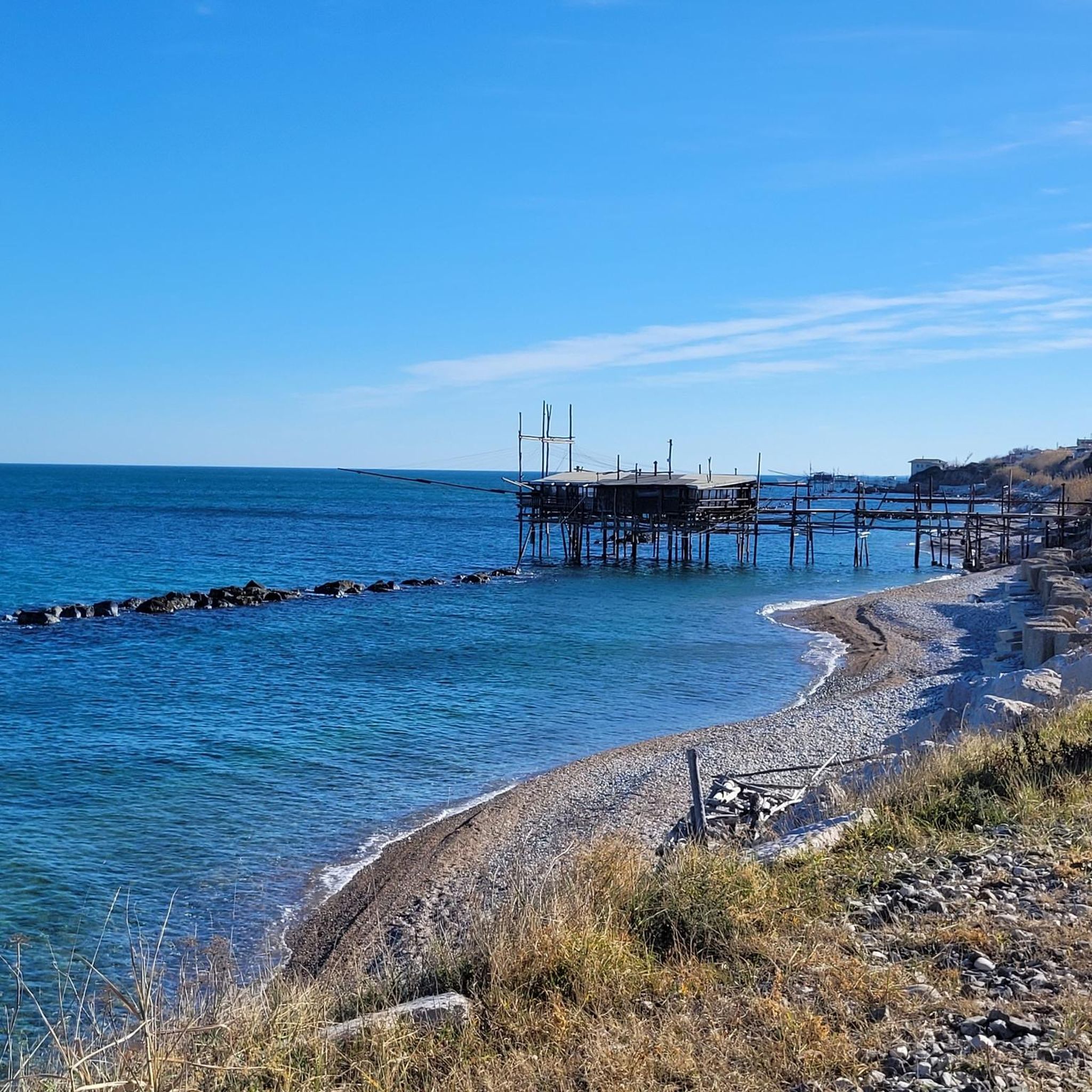
Lake Boma is an artificial lake, 262m high, 7km long, and with a maximum depth of approx. 57 meters. This lake was built by ACEA in 1950, to feed a power plant.
1
0
Frequently Asked Questions
How many running routes are available around Tornareccio?
There are 6 distinct running routes around Tornareccio, offering a variety of experiences for different fitness levels. These include moderate loops and more challenging climbs through the natural landscapes.
Are there easy running routes suitable for beginners in Tornareccio?
While the guide features 3 moderate and 3 difficult routes, the general terrain around Tornareccio, with its charming streets and nature paths, offers options for less strenuous jogs. For a moderate option, consider the Colledimezzo and Lake Bomba Loop, which is 4.7 miles (7.5 km) long.
What are the difficulty levels of running routes around Tornareccio?
The running routes around Tornareccio are categorized into moderate and difficult. There are 3 moderate routes and 3 difficult routes, providing options for various skill levels, from scenic loops to more demanding mountain trails.
What natural or historical sights can I see along the running routes?
Many routes offer stunning views and access to historical sites. You can explore the Castello di Roccascalegna, or discover the ancient Megalithic Walls of Pallanum within the Mount Pallano Archaeological and Naturalistic Park. The Colledimezzo and Lake Bomba Loop also offers scenic views of Lake Bomba.
Do the running routes offer scenic viewpoints?
Absolutely! Tornareccio's elevation at 630 meters provides expansive views stretching from the mountains to the Adriatic coast. Many trails, especially those in the Mount Pallano area, offer panoramic crests and breathtaking vistas, including the View from Roccascalegna Castle.
What is the best time of year for running in Tornareccio?
The Abruzzo region, including Tornareccio, is beautiful throughout much of the year. Spring and autumn generally offer pleasant temperatures for running. While specific recommendations for winter are not detailed, the diverse terrain means conditions can vary, so checking local weather is always advised.
Are there any circular running routes in Tornareccio?
Yes, several routes are designed as loops. For example, the popular Colledimezzo and Lake Bomba Loop and the challenging Mura Megalitiche di Pallanum loop from Tornareccio are both circular, bringing you back to your starting point.
Can I bring my dog on the running trails around Tornareccio?
The naturalistic parks and mountain trails around Tornareccio are generally welcoming to dogs, especially if kept on a leash. It's always a good idea to check specific park regulations or signage at trailheads, but the wild beauty of the Abruzzo countryside is often enjoyed with canine companions.
Are there family-friendly running routes in Tornareccio?
While some routes are challenging, the diverse network of paths includes nature trails that can be suitable for families. Exploring the charming streets of Tornareccio, known for its open-air mosaic museum, also offers a pleasant, less strenuous option for a family jog or walk.
Is parking available near the running routes?
For routes within the Mount Pallano Archaeological and Naturalistic Park, parking facilities are generally available. For other trails, parking can often be found in nearby towns or designated areas, though it's recommended to check specific route details for the most convenient options.
What do other runners enjoy most about jogging in Tornareccio?
The running routes in Tornareccio are highly rated by the komoot community, with an average score of 5.0 stars. Runners frequently praise the varied terrain, from mountain trails to nature paths, and the stunning panoramic views stretching from the mountains to the Adriatic coast.
Are there any routes that pass by waterfalls?
Yes, for those interested in natural water features, the Waterfall in Gola di Pennadomo is a notable attraction in the wider area around Tornareccio, which could be combined with a running excursion.
How accessible are the running routes by public transport?
While specific public transport details for each trailhead are not extensively documented, Tornareccio is a small town in a rural region. Access to many trailheads, especially those deeper in the Mount Pallano park, may be more convenient by car. It's advisable to check local bus schedules if relying on public transport.
Most popular attractions around Tornareccio

Get inspired with the komoot mobile app


Explore more
Browse the best Running Trails & Routes in other regions.
