The best mountain hikes around Bruzolo
5.0
(2)
33
hikers
4
hikes
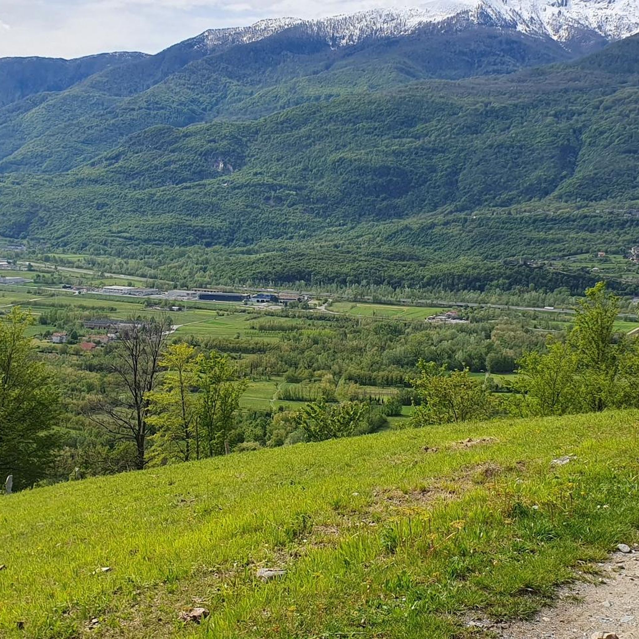
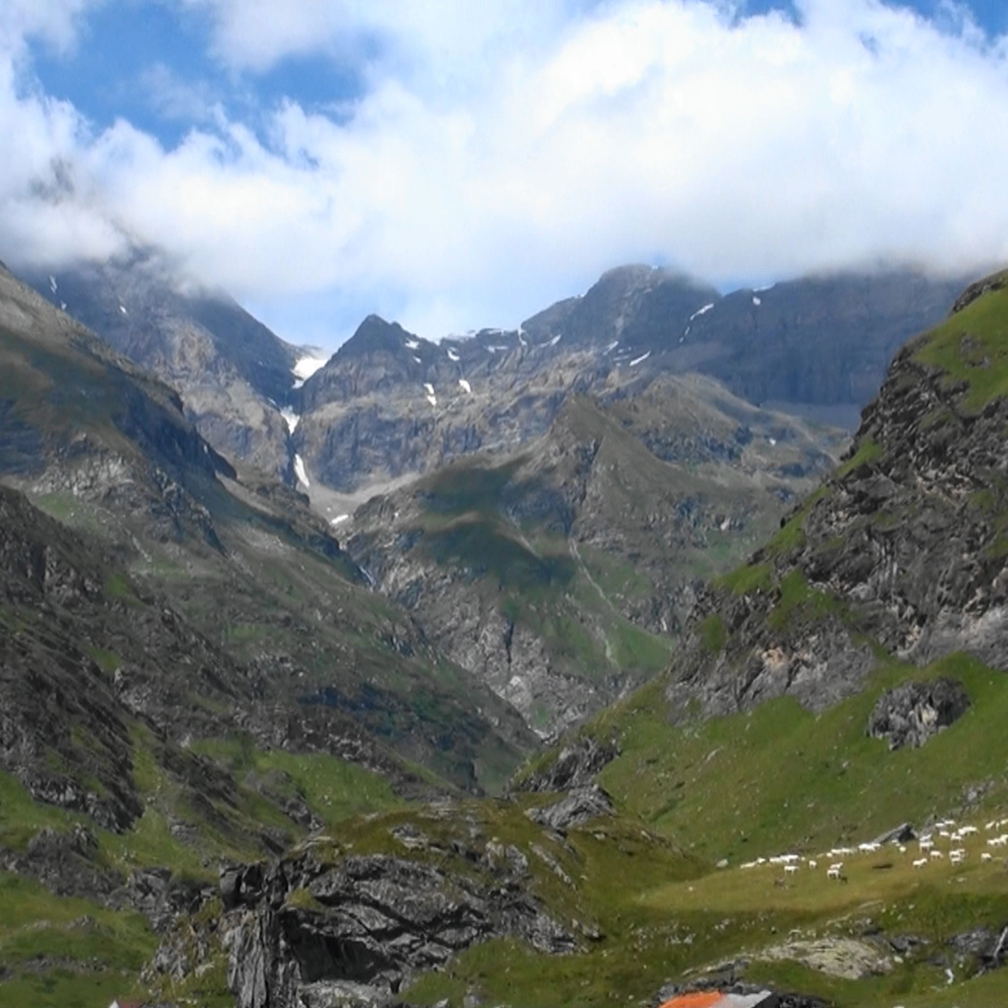
Mountaineering routes around Bruzolo are set within Italy's lower Susa Valley, a region characterized by its mountainous terrain and diverse natural features. The area is home to the Orsiera Rocciavrè Natural Park, which features landscapes carved by glaciers, including glacial lakes, steep slopes, and ravines. Prominent peaks such as Punta Lunella (2,772 meters) and Rocciamelone (3,538 meters) define the challenging environment. This setting provides a range of ascents through varied high-alpine terrain.
Best mountaineering routes around Bruzolo
- The most popular…
Last updated: July 4, 2026
5.0
(2)
13
hikers
3.32km
02:43
490m
490m
Hard mountaineering route. Good fitness required. Sure-footedness, sturdy shoes and alpine experience required.
7
hikers
4.38km
03:14
620m
610m
Hard mountaineering route. Good fitness required. Sure-footedness, sturdy shoes and alpine experience required.

Sign up for free
6
hikers
8.80km
05:04
900m
900m
Hard mountaineering route. Very good fitness required. Sure-footedness, sturdy shoes and alpine experience required.
3
hikers
11.4km
05:07
800m
800m
Hard mountaineering route. Very good fitness required. Sure-footedness, sturdy shoes and alpine experience required.
4
hikers
12.9km
07:10
1,190m
1,190m
Hard mountaineering route. Very good fitness required. Sure-footedness, sturdy shoes and alpine experience required.
Our route recommendations are based on thousands of hikes, rides, and runs completed by other people on komoot.
Start today with a free account
Your next adventure awaits.
Login or Signup


Tips from the Community

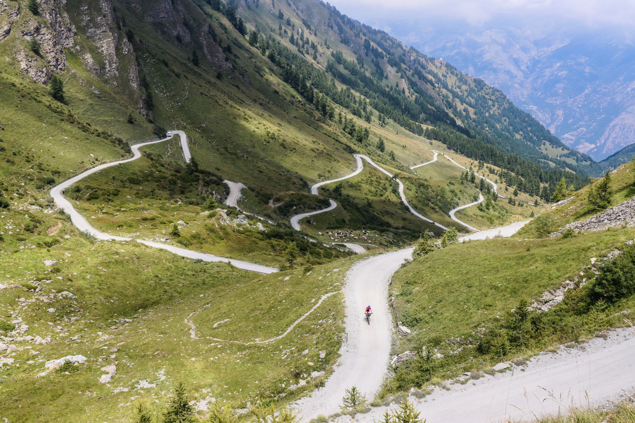
Colle Croce di Ferro is an Alpine pass in the Graian Alps that connects the Susa Valley with the Viù Valley. Administratively, it marks the border between the municipalities of Bussoleno and Usseglio.
0
0

This refuge is managed and open only during the summer months. It's possible to stop for a break when climbing to the summit of Rocciamelone. It's located approximately halfway between La Riposa and Rocciamelone.
0
0

Accessible from multiple directions, both on asphalt and trail. Ideal stopping point
1
0

in case of snow be careful not to lose the path
0
0
landing place for beginners, or a useful support point to break the climb in 2
0
0
In the Orsiera Rocciavrè park. Reachable only by paths, not all of which are ideal for MTB. The effort is rewarded by this splendid place.
1
0

Frequently Asked Questions
What kind of mountaineering routes can I expect around Bruzolo?
The mountaineering routes around Bruzolo are set in the lower Susa Valley, characterized by challenging high-alpine terrain. You'll find landscapes carved by glaciers, including glacial lakes, steep slopes, and prominent peaks like Punta Lunella (2,772 meters) and Rocciamelone (3,538 meters). All routes listed in this guide are rated as difficult, offering ascents for experienced mountaineers.
Are there any circular mountaineering routes in the Bruzolo area?
Yes, several routes around Bruzolo are circular. For example, you can explore the challenging Rifugio Ca' d'Asti – Rocciamelone (3,538 m) loop from Rocciamelone, which is 10.8 km long. Another option is the Rocca Patanua loop from Maffiotto, covering 8.8 km through high-alpine terrain.
What are some of the prominent peaks or natural features I might encounter on these routes?
Mountaineering routes in Bruzolo often lead to significant peaks and through dramatic natural landscapes. You might encounter Punta Lunella (2,772 meters) or the challenging Rocciamelone summit (3,538 meters), known for its fixed ropes. The routes also traverse parts of the Orsiera Rocciavrè Natural Park, featuring glacial lakes and steep ravines. Alpe Cruvin (1,991 meters) also offers spectacular views of the Orsiera and Rocca del Forno.
Are there any waterfalls or scenic natural attractions suitable for a less strenuous outing near Bruzolo?
While the mountaineering routes in this guide are challenging, for a less strenuous natural attraction, you can visit the waterfall of the Pissaglio stream. It offers a refreshing natural spot with a picnic area, suitable for families.
What do other mountaineers say about the routes in Bruzolo?
The mountaineering routes around Bruzolo are highly rated by the komoot community, with an average score of 5.0 stars from several reviews. Nearly 100 mountaineers have used komoot to explore the varied and challenging terrain, often praising the prominent peaks and the wilderness experience within the Orsiera Rocciavrè Natural Park.
Are there any mountain huts or refuges available along the mountaineering routes?
Yes, mountain huts are available in the region. The Rifugio Toesca, located within the Orsiera-Rocciavrè Natural Park, offers both accommodation and traditional Piedmontese cuisine, making it a good base for exploring. The Amprimo Mountain Hut is also mentioned as an easily accessible resting point, often with amenities for families.
What kind of wildlife can I expect to see in the Orsiera Rocciavrè Natural Park?
The Orsiera Rocciavrè Natural Park is a haven for wildlife. You might spot chamois, deer, roe deer, and a rich diversity of bird species. The park's unspoiled natural habitat provides a genuine wilderness experience.
Are there any other interesting places to explore near Bruzolo besides mountaineering?
Beyond mountaineering, the Bruzolo area offers a rich historical and cultural heritage. You can visit the 13th-century Castello di Chianocco, which houses a Museum of Ancient Crafts. The nearby town of Susa also has ancient Roman sites, including the Arch of Augustus and remains of an aqueduct. For natural attractions, the Natural Park of Avigliana Lakes offers opportunities for water sports and birdwatching.
Can you recommend a challenging mountaineering route that offers extensive views?
For a challenging route with extensive views, consider the Truc Muandette – Punta Sbaron loop from Prato del Rio. This 13.2 km route involves over 800 meters of elevation gain and descent, providing a demanding experience with rewarding vistas of the surrounding alpine landscape.
Are there any caves or unique geological features to visit in the vicinity of Bruzolo?
Yes, there are several interesting caves and geological features nearby. You could explore the Pera Furà Millstone Cave, the Antica Cava di Rocaforte, or the Le Voute Caves. These offer a different kind of natural exploration in the region.
What is the typical duration for a mountaineering route in Bruzolo?
The duration of mountaineering routes in Bruzolo varies depending on the specific trail and your pace. For instance, the Rifugio Ca' d'Asti – Rocciamelone (3,538 m) loop from Rocciamelone typically takes around 7 hours and 14 minutes. Shorter, but still difficult, routes like the Rocca Candelera loop from Usseglio can be completed in about 2 hours and 43 minutes.
Are there any mountain passes nearby that are worth visiting?
Yes, the region around Bruzolo features several notable mountain passes. You can visit the Colle delle Finestre, known for its challenging ascent, or the scenic Colle del Colombardo and Sanctuary. Other passes include the Colle della Croce di Ferro and the Wind Pass.
Most popular routes around Bruzolo
Most popular attractions around Bruzolo

Get inspired with the komoot mobile app


Explore more
Browse the best Mountain Hikes & Routes in other regions.
