The best walks and hikes around Bruzolo
4.4
(2057)
10,152
hikers
13
hikes
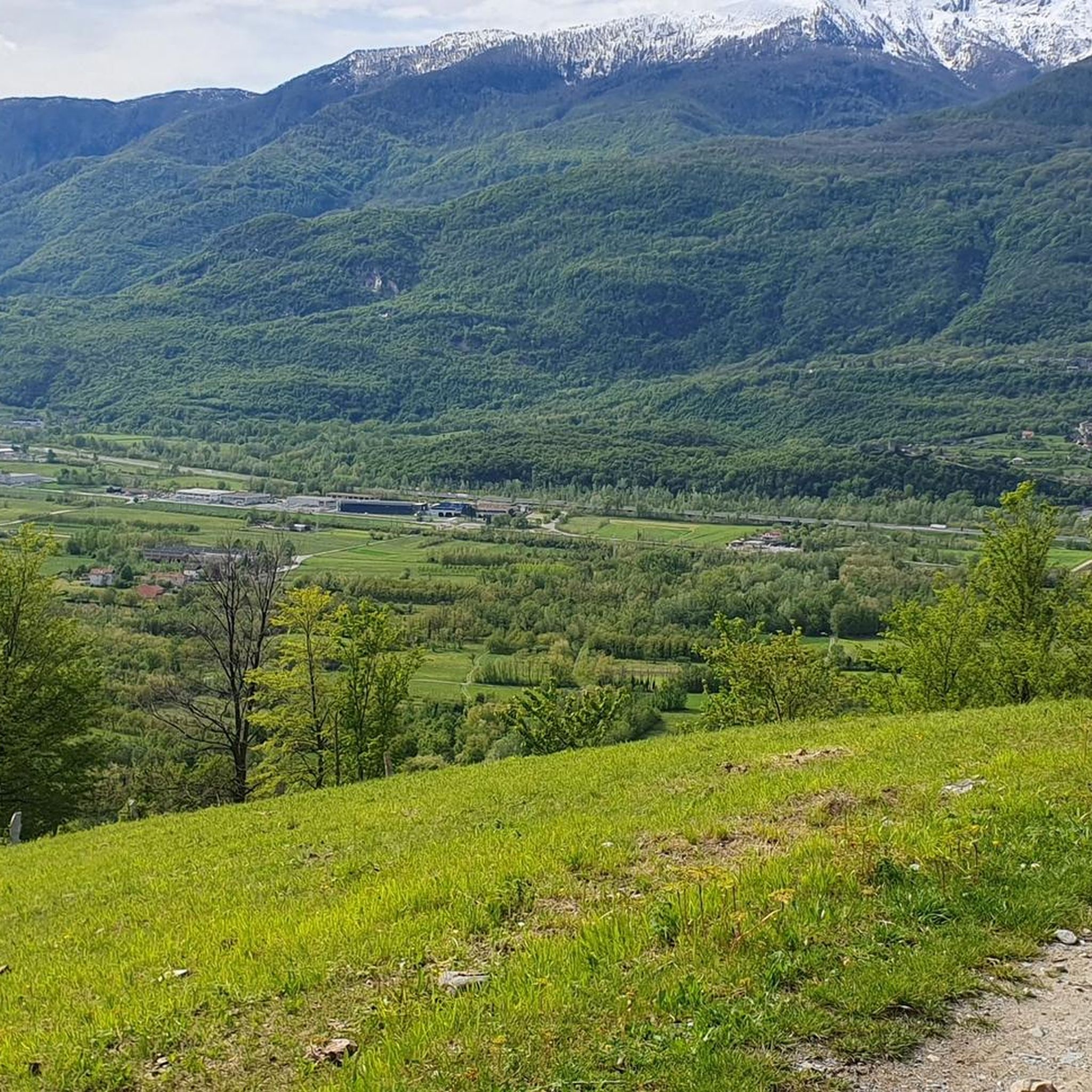
Hiking around Bruzolo offers diverse landscapes within the lower Susa Valley, situated on the left bank of the Dora Riparia river. The region features extensive forested slopes leading to higher alpine terrain, with elevations reaching up to 2,772 meters (9,094 ft) at Punta Lunella. Trails traverse varied environments, from lush forests and riverbanks to rocky scree and glacial landscapes in the higher reaches. This area provides access to dramatic mountain vistas and natural features within the broader Susa Valley.
Best hiking trails around Bruzolo
- The most popular hiking route is Rocca Patanua Summit via Sentiero della Resistenza (Route 564), a 8.1 miles (13.1 km) trail that takes 7 hours 12 minutes to complete. This difficult route ascends to Rocca Patanua, offering panoramic views over Val Susa.
- Another top favourite among local hikers is Chianocco Gorge loop from Chianocco, a moderate 3.7 miles (5.9 km) path. This route explores the Chianocco Gorge, featuring varied terrain and natural beauty.
- Local hikers also love the Hiking loop from Chianocco, a 6.6 miles (10.6 km) trail leading through forested areas and open landscapes, often completed in about 4 hours 10 minutes.
- Hiking around Bruzolo is defined by forested slopes, alpine terrain, and the scenic Susa Valley vistas. The network of routes offers options for various ability levels, from moderate forest walks to challenging mountain ascents.
- The routes in Bruzolo are highly rated by the komoot community with an average score of 4.4 stars from more than 1900 reviews. Nearly 10,000 hikers have used komoot to explore Bruzolo's varied terrain.
Last updated: July 9, 2026
5.0
(3)
13
hikers
8.31km
03:48
580m
580m
Moderate hike. Good fitness required. Mostly accessible paths. Sure-footedness required.
3.7
(3)
10
hikers
13.2km
05:55
860m
860m
Hard hike. Very good fitness required. Mostly accessible paths. Sure-footedness required.

Sign up for free
3.7
(3)
17
hikers
7.75km
03:23
570m
570m
Moderate hike. Good fitness required. Mostly accessible paths. Sure-footedness required.
4.3
(3)
12
hikers
7.25km
02:09
200m
210m
Moderate hike. Good fitness required. Mostly accessible paths. Sure-footedness required.
5.0
(1)
6
hikers
6.03km
01:58
270m
270m
Moderate hike. Great for any fitness level. Mostly accessible paths. Sure-footedness required.
Get access to more routes and recommendations from other explorers.
Sign up for free
Already have an account?
Our route recommendations are based on thousands of hikes, rides, and runs completed by other people on komoot.
Start today with a free account
Your next adventure awaits.
Login or Signup



Tips from the Community

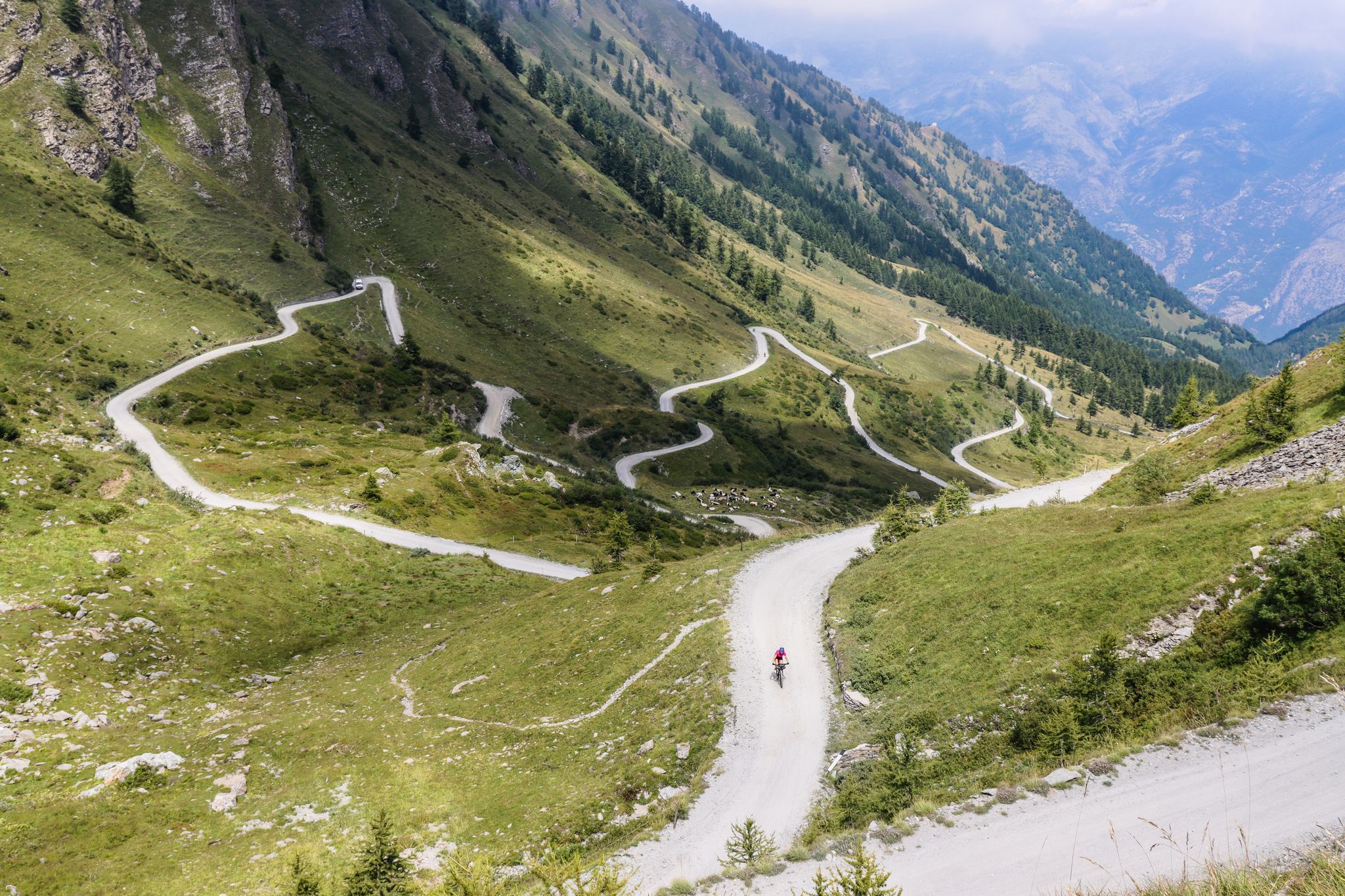
The stretch of road from Pavaglione towards Rio Prebec is an excellent balcony overlooking the middle/upper valley. The easy road allows you to cycle calmly while admiring the landscape, splendid on sunny days!
0
0

From a wooden platform you have an excellent view of the Orrido and the Susa Valley
0
0


The 360 view is superb. Turning towards the mountains, looking down on the crack of the Chianocco Ravine, you can hear the thunderous sound of the water, which comes out and then cascades into the gorge below.
0
0

Unfortunately the paths to Pavaglione are not signposted
0
0

A rest for evening bike rides
0
0

Beautiful paths that run through the Orrido di Chianocco reserve
0
0

fountain with running water
1
0
Frequently Asked Questions
How many hiking trails are available around Bruzolo?
Bruzolo and the surrounding Susa Valley offer a wide variety of hiking opportunities, with over 370 routes recorded on komoot. These trails cater to different preferences, from gentle walks through forested slopes to challenging alpine ascents.
Are there hiking trails suitable for beginners or families in Bruzolo?
Yes, Bruzolo has approximately 50 easy hiking routes, making it suitable for beginners and families. Many of these trails explore the lower forested slopes and local hamlets, offering a pleasant experience without significant elevation gain. The 'I Sentieri degli Ultimi' project, for instance, features several circular routes that are generally accessible and provide a glimpse into local history and culture.
What kind of challenging hikes can I find near Bruzolo?
For experienced hikers seeking a challenge, Bruzolo offers nearly 120 difficult routes. One notable challenging hike is the Rocca Patanua Summit via Sentiero della Resistenza (Route 564). This 13.1 km trail involves a significant ascent of almost 1,400 meters, leading to panoramic views over Val Susa and passing through historical sites.
Are there any circular hiking routes in the Bruzolo area?
Yes, the region around Bruzolo features several circular routes. These loops are excellent for exploring the diverse landscapes and historical hamlets without retracing your steps. Examples include the 'I Sentieri degli Ultimi' loops, such as the Bruzolo-Seinera-Bigiardi-Bruzolo loop or the Bigiardi loop, which often pass through charming villages and offer scenic viewpoints.
What natural landmarks or viewpoints can I expect to see on hikes around Bruzolo?
Hiking around Bruzolo offers access to stunning natural landmarks and panoramic viewpoints. You can expect dramatic mountain vistas of the Susa Valley, views of peaks like Grand'Uia, Rocca Patanua, and Monte Palon, and the Orsiera Rocciavrè group. The Colletto (1,574 m) is a particularly panoramic spot. Higher up, trails lead to scree and glacial landscapes, especially towards areas like Sommeiller Pass.
Are there any waterfalls near Bruzolo that I can visit?
Yes, the area around Bruzolo is home to several beautiful waterfalls. You can explore highlights such as the Gravio Waterfall and the Ovarda Waterfall. These natural features provide picturesque spots for a break during your hike.
What do other hikers enjoy most about hiking in Bruzolo?
The hiking trails around Bruzolo are highly rated by the komoot community, with an average score of 4.4 stars from over 1,900 reviews. Hikers often praise the diverse landscapes, ranging from lush forests to alpine terrain, and the breathtaking views of the Susa Valley. The well-maintained network of trails and the blend of natural beauty with historical elements are frequently highlighted.
Are there any historical or cultural sites along the hiking trails?
Many trails around Bruzolo offer glimpses into the region's rich history and culture. For example, the 'I Sentieri degli Ultimi' routes pass through traditional hamlets like Bigiardi, where you can find a Permanent Ethnographic Exhibition in the old municipal school. The Sentiero della Resistenza also features stone chapels and alpine ruins, connecting hikers with the area's past.
Can I find mountain huts or refuges for rest during my hike?
Yes, the region provides mountain huts and refuges for hikers. Notable options include the Amprimo Mountain Hut and the Toesca Hut. The Toesca Hut, located within the Orsiera-Rocciavrè Natural Park, is known for serving traditional Piedmontese cuisine and offers a welcoming stop for rest or an overnight stay.
Are there any gorges or unique geological features to explore?
Yes, the area features interesting geological formations. The Chianocco Gorge loop from Chianocco is a moderate 5.9 km hike that allows you to explore the Chianocco Gorge, showcasing varied terrain and natural beauty. Additionally, the Sentiero degli Orridi (Gorges Trail) is another option, particularly recommended in autumn and winter due to its sun exposure.
What is the best time of year for hiking in Bruzolo?
Bruzolo offers hiking opportunities throughout much of the year, with different seasons highlighting various aspects of its landscape. Spring and autumn are ideal for enjoying the forested trails and lower-altitude loops, with pleasant temperatures and vibrant colors. Summer allows access to higher alpine routes, while some trails, like the Sentiero degli Orridi, are recommended in autumn and winter for their sun exposure.
Most popular routes around Bruzolo
Most popular attractions around Bruzolo

Get inspired with the komoot mobile app


Explore more
Browse the best Hikes in other regions.
