The best mountain hikes around Roquefort-La-Bédoule
4.9
(6)
27
hikers
4
hikes
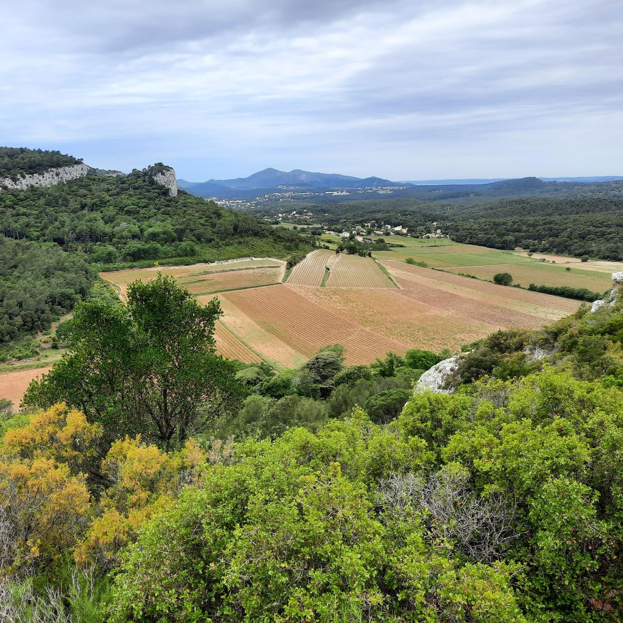
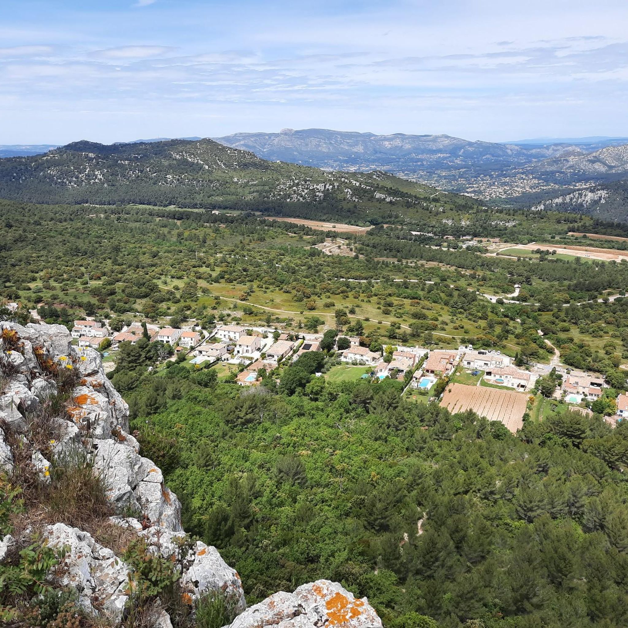
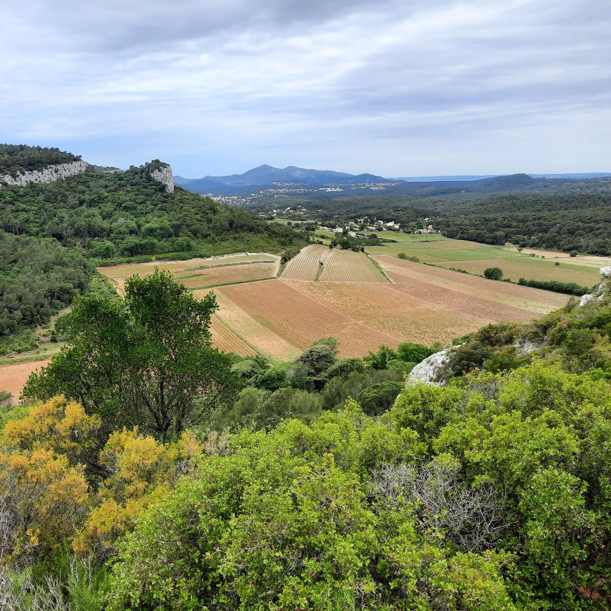
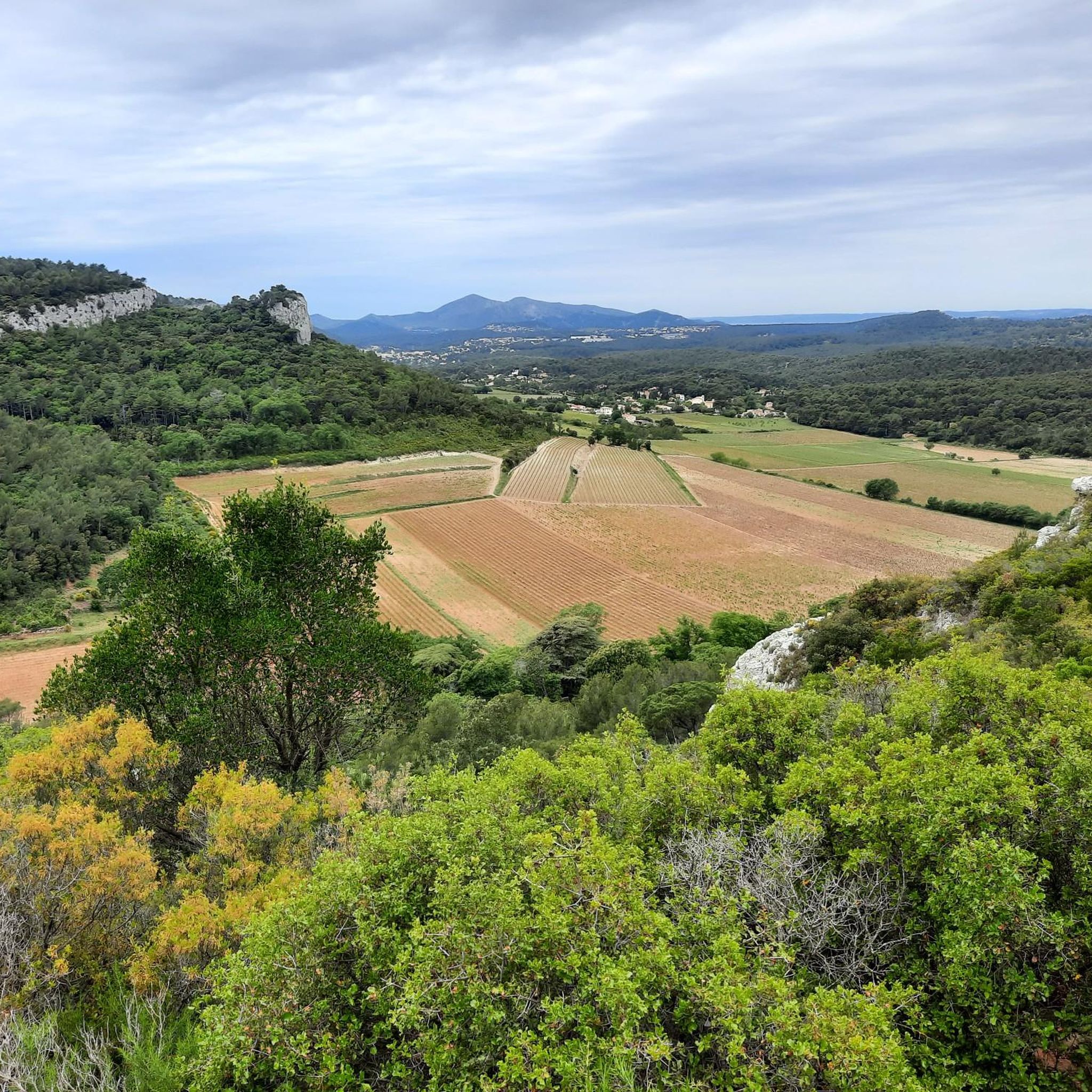
Mountaineering routes around Roquefort-La-Bédoule traverse a diverse landscape characterized by pine-forested hills, varied terrain, and significant massifs. The region's altitudes range from 158 meters to 563 meters, with prominent features like Le Montounier offering panoramic views. Its strategic location provides access to the renowned Calanques Massif, known for its limestone cliffs and extensive climbing opportunities. This area offers a blend of elevated paths and coastal vistas, making it suitable for mountain exploration.
Best mountaineering routes around Roquefort-La-Bédoule
- The most popular…
Last updated: July 6, 2026
5.0
(2)
6
hikers
9.89km
03:16
350m
350m
Moderate mountaineering route. Good fitness required. Mostly accessible paths. Sure-footedness required.
4.5
(2)
9
hikers
7.08km
02:17
220m
220m
Moderate mountaineering route. Good fitness required. Mostly accessible paths. Sure-footedness required.

Sign up for free
5.0
(1)
6
hikers
11.7km
03:34
350m
350m
Moderate mountaineering route. Good fitness required. Mostly accessible paths. Sure-footedness required.
3
hikers
10.4km
02:59
250m
250m
Moderate mountaineering route. Good fitness required. Easily-accessible paths. Suitable for all skill levels.
5.0
(1)
3
hikers
11.6km
03:43
390m
390m
Moderate mountaineering route. Good fitness required. Mostly accessible paths. Sure-footedness required.
Our route recommendations are based on thousands of hikes, rides, and runs completed by other people on komoot.
Start today with a free account
Your next adventure awaits.
Login or Signup
Tips from the Community

Several marked trails also allow you to explore the vineyards between the AOC Bandol estates. They are well marked and there are also maps to help you choose your route.
0
0

Beautifully situated bay, good swimming spot
1
0

Very pretty path, very flowery this spring
0
0

Steep descent for 20 minutes, be careful
2
0


Superb cove in the Port d'Alon area, perfect for swimming. This part of the coastline is very busy - choose the morning or evening if you want to enjoy the calm.
0
0

Beautiful little harbour set in beautiful natural surroundings. This is truly a picturesque spot
6
0
Frequently Asked Questions
How many mountaineering routes are available around Roquefort-La-Bédoule?
The area features several dedicated mountaineering routes, with komoot listing 4 distinct tours. These routes offer a variety of experiences within the region's diverse terrain.
What is the typical difficulty level for mountaineering routes in this region?
The mountaineering routes around Roquefort-La-Bédoule are generally considered moderate. They offer a good balance of challenge and accessibility, making them suitable for those with some hiking experience.
Are there any circular mountaineering routes near Roquefort-La-Bédoule?
Yes, many of the routes in the area are circular. For example, you can explore the En-Vau Beach – View of the Calanque d'En-Vau loop from Cassis, which offers stunning coastal views, or the Plage d'En Vau loop from Le Logisson, providing access to the beautiful En Vau beach.
What kind of landscapes can I expect to see on these mountaineering routes?
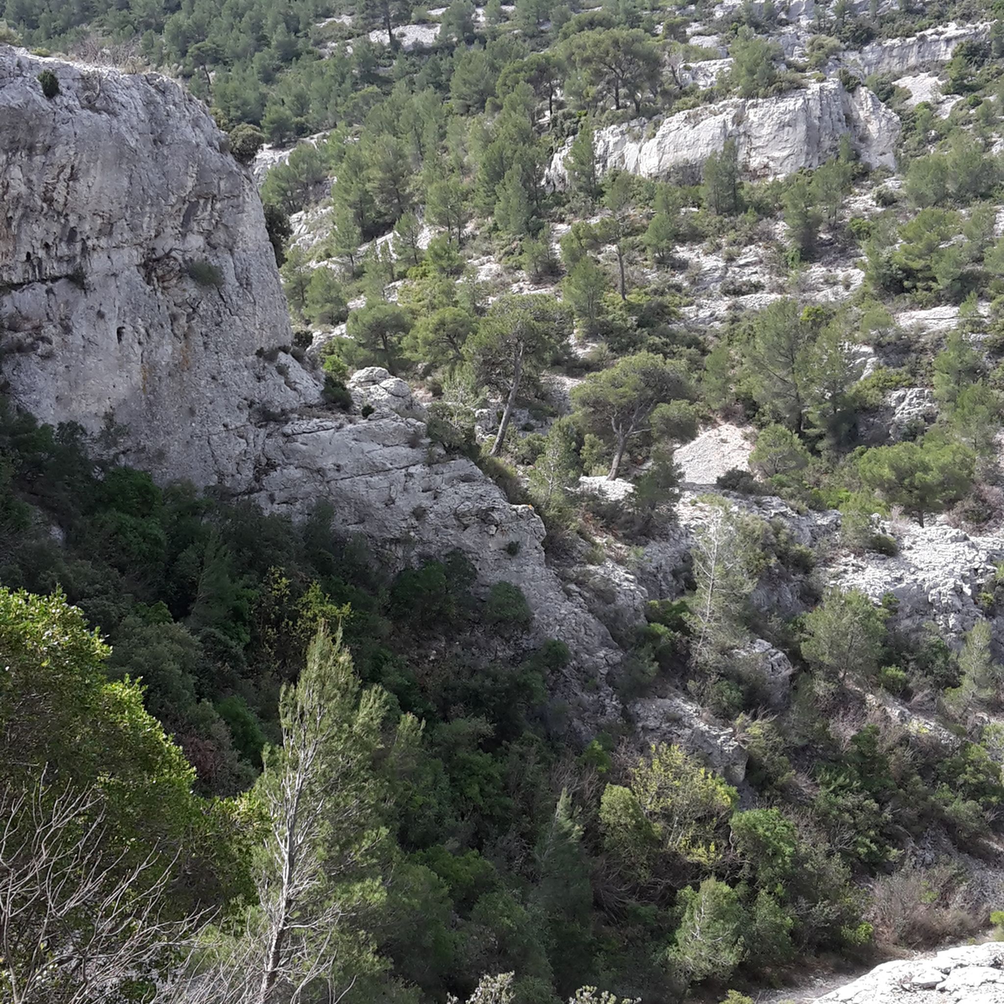
The routes traverse a diverse landscape characterized by pine-forested hills, varied terrain, and significant massifs. You'll encounter limestone cliffs, coastal paths, and elevated viewpoints offering panoramic vistas of the Mediterranean, the Calanques, and surrounding mountain ranges like Sainte-Baume and Garlaban.
What are some notable viewpoints or landmarks along the mountaineering trails?
Many routes offer spectacular views. The En-Vau Calanque viewpoint is a highlight, as is the View of the cliffs and the Calanque d'En-Vau. The region's highest points, like Le Montounier and Barre de Font Blanche, also provide extensive panoramas encompassing the bay of Marseille and the Calanques.
Are there any family-friendly mountaineering options?
While the routes are generally moderate, some shorter options like the Plage de Port Pin loop from Cassis, which is about 5.2 km, could be suitable for families with older children who are accustomed to hiking. This route leads through coastal paths and pine forests.
What do other mountaineers enjoy most about the routes in Roquefort-La-Bédoule?
The area is highly rated by the komoot community, with an average score of 4.7 stars. Reviewers often praise the stunning coastal views, the unique limestone cliffs of the Calanques, and the well-maintained paths that lead to beautiful beaches like En-Vau Beach and Port-Pin Beach.
What is the best time of year for mountaineering in this region?
The Mediterranean climate makes spring and autumn ideal for mountaineering, offering pleasant temperatures and less crowded trails. Summer can be very hot, especially on exposed sections, while winter can bring cooler, sometimes wet, conditions.
Are there opportunities for rock climbing near Roquefort-La-Bédoule?
Absolutely. Roquefort-La-Bédoule's proximity to the world-renowned Calanques Massif makes it a prime location for rock climbing. The Calanques, between Marseille and Cassis, offer over 3,400 routes on white limestone cliffs directly above the Mediterranean Sea, catering to all skill levels.
What are some longer mountaineering routes for a more challenging experience?
For a longer and more immersive experience, consider routes like the View of the Calanques – En-Vau Beach loop from Cassis, which covers approximately 11.6 km and includes significant elevation changes, offering extensive views of the Calanques.
Are there any specific natural features or attractions to look out for?
Beyond the stunning Calanques, keep an eye out for the pine-forested hills and the Gorges de la Petite Sainte-Baume. The region is also known for its diverse flora and fauna, characteristic of both Mediterranean and mid-mountain alpine forests.
How long do the mountaineering routes typically take to complete?
The duration varies depending on the route and your pace. For instance, the En-Vau Beach – View of the Calanque d'En-Vau loop from Cassis typically takes around 3 hours 18 minutes, while shorter loops like Plage de Port Pin loop from Cassis can be completed in about 1 hour 32 minutes.
Most popular routes around Roquefort-La-Bédoule
Most popular attractions around Roquefort-La-Bédoule

Get inspired with the komoot mobile app


Explore more
Browse the best Mountain Hikes & Routes in other regions.
