The best mountain hikes around Les Marches
4.6
(10)
74
hikers
6
hikes
Mountaineering routes around Les Marches are characterized by the rugged terrain of the Chartreuse and Bauges massifs, featuring prominent limestone peaks and deep valleys. The region offers a diverse landscape, from dense forests at lower elevations to exposed alpine meadows and rocky summits. This area, situated near Chambéry, provides challenging ascents and panoramic views across the French Prealps.
Best mountaineering routes around Les Marches
- The most popular mountaineering route is Mont Granier – Col de l'Alpette loop from Parking de…
Last updated: July 6, 2026
5.0
(2)
9
hikers
9.43km
03:39
480m
480m
Hard mountaineering route. Good fitness required. Sure-footedness, sturdy shoes and alpine experience required.
5.0
(1)
6
hikers
5.40km
02:36
390m
390m
Moderate mountaineering route. Good fitness required. Mostly accessible paths. Sure-footedness required.

Sign up for free
3.0
(1)
6
hikers
12.0km
05:31
1,070m
1,070m
Hard mountaineering route. Very good fitness required. Mostly accessible paths. Sure-footedness required.
4
hikers
7.29km
02:58
410m
410m
Hard mountaineering route. Good fitness required. Sure-footedness, sturdy shoes and alpine experience required.
5.0
(1)
4
hikers
8.27km
03:03
330m
330m
Hard mountaineering route. Good fitness required. Sure-footedness, sturdy shoes and alpine experience required.
Our route recommendations are based on thousands of hikes, rides, and runs completed by other people on komoot.
Start today with a free account
Your next adventure awaits.
Login or Signup
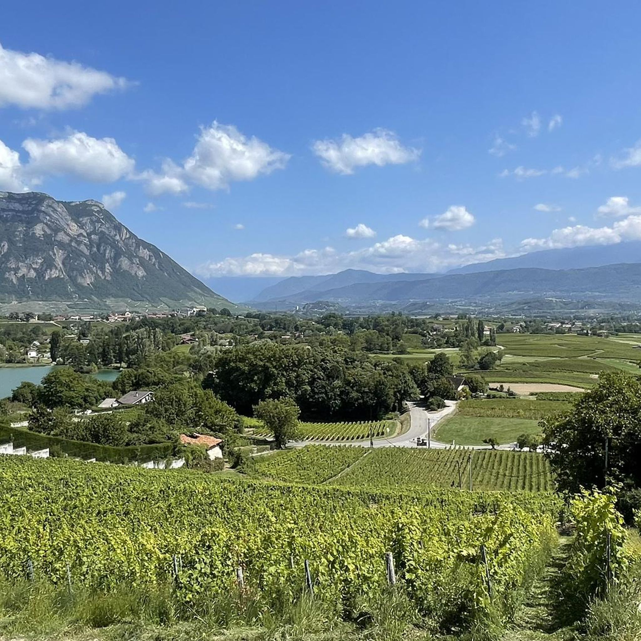
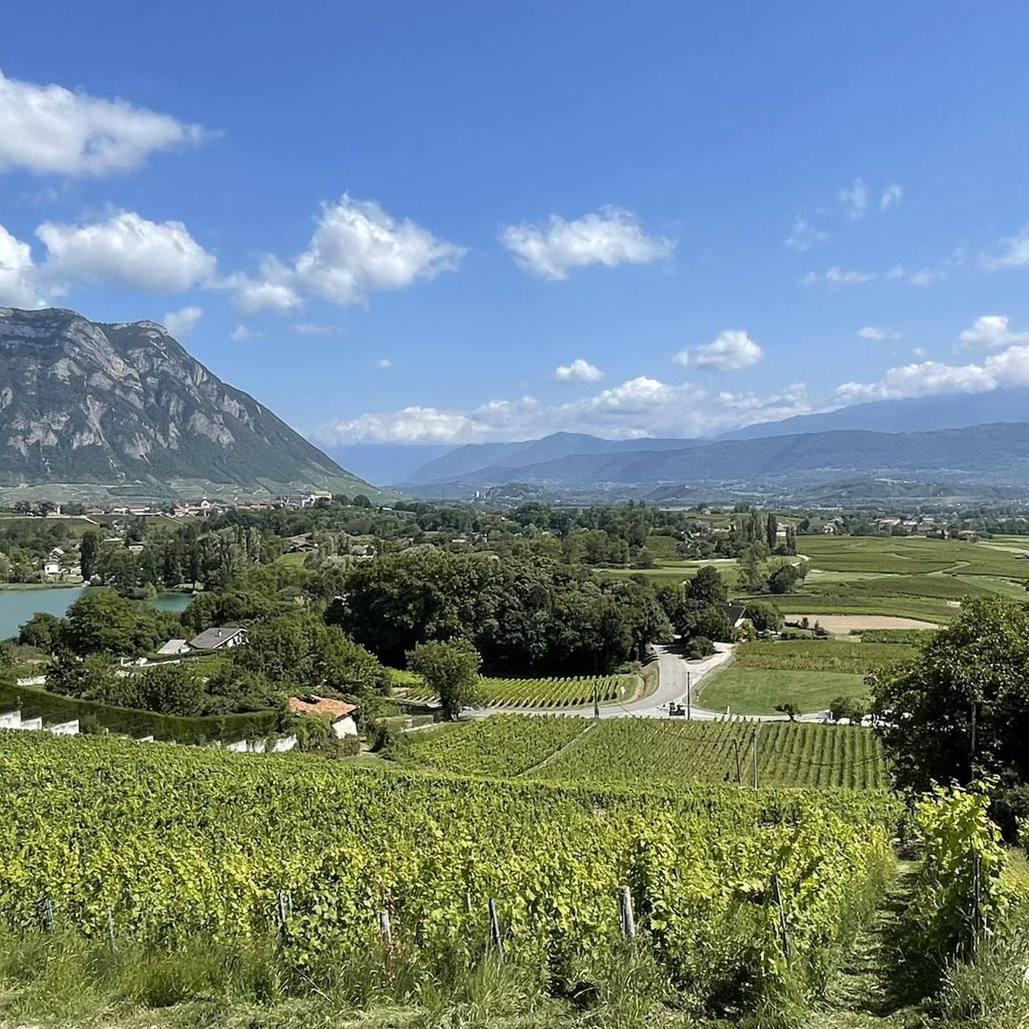
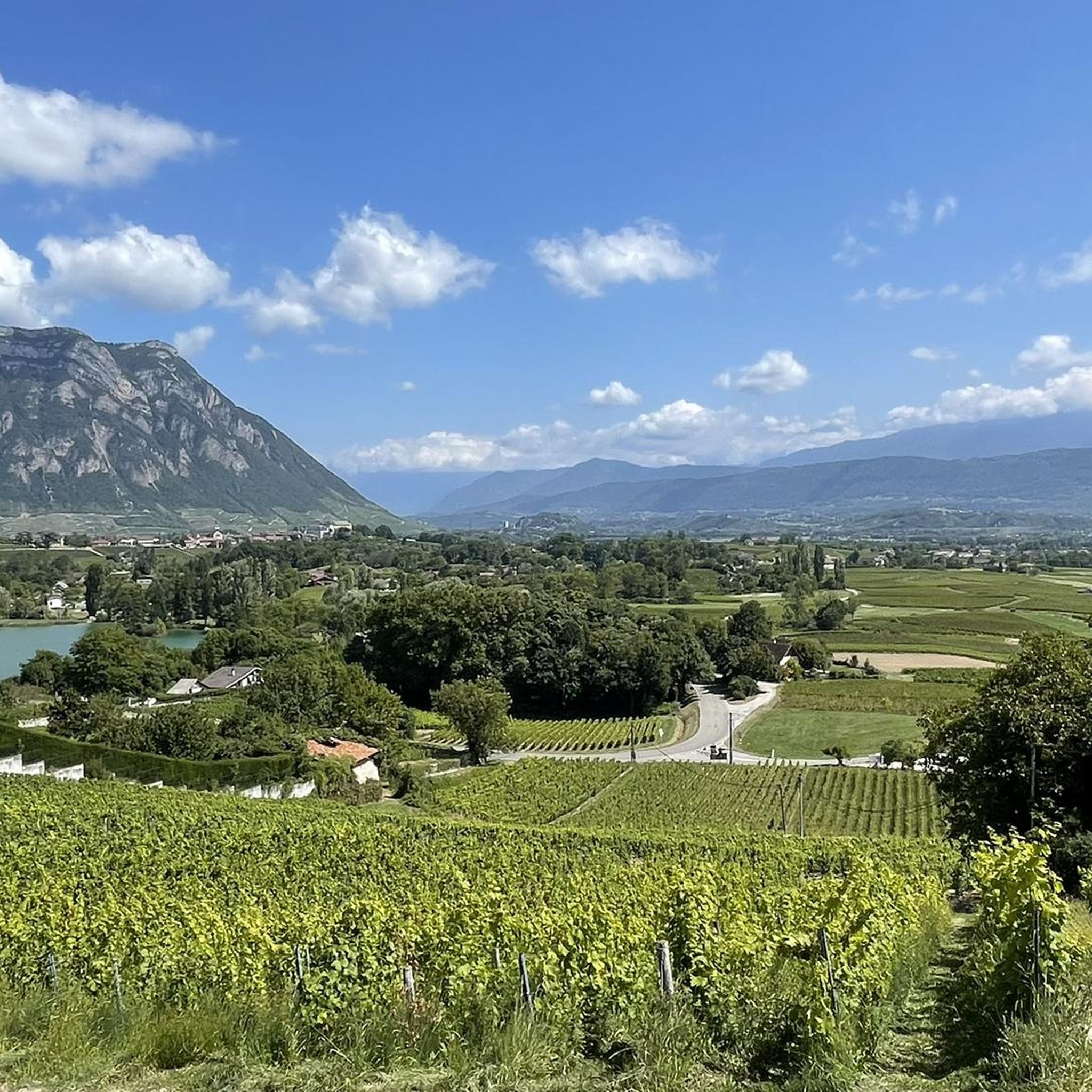
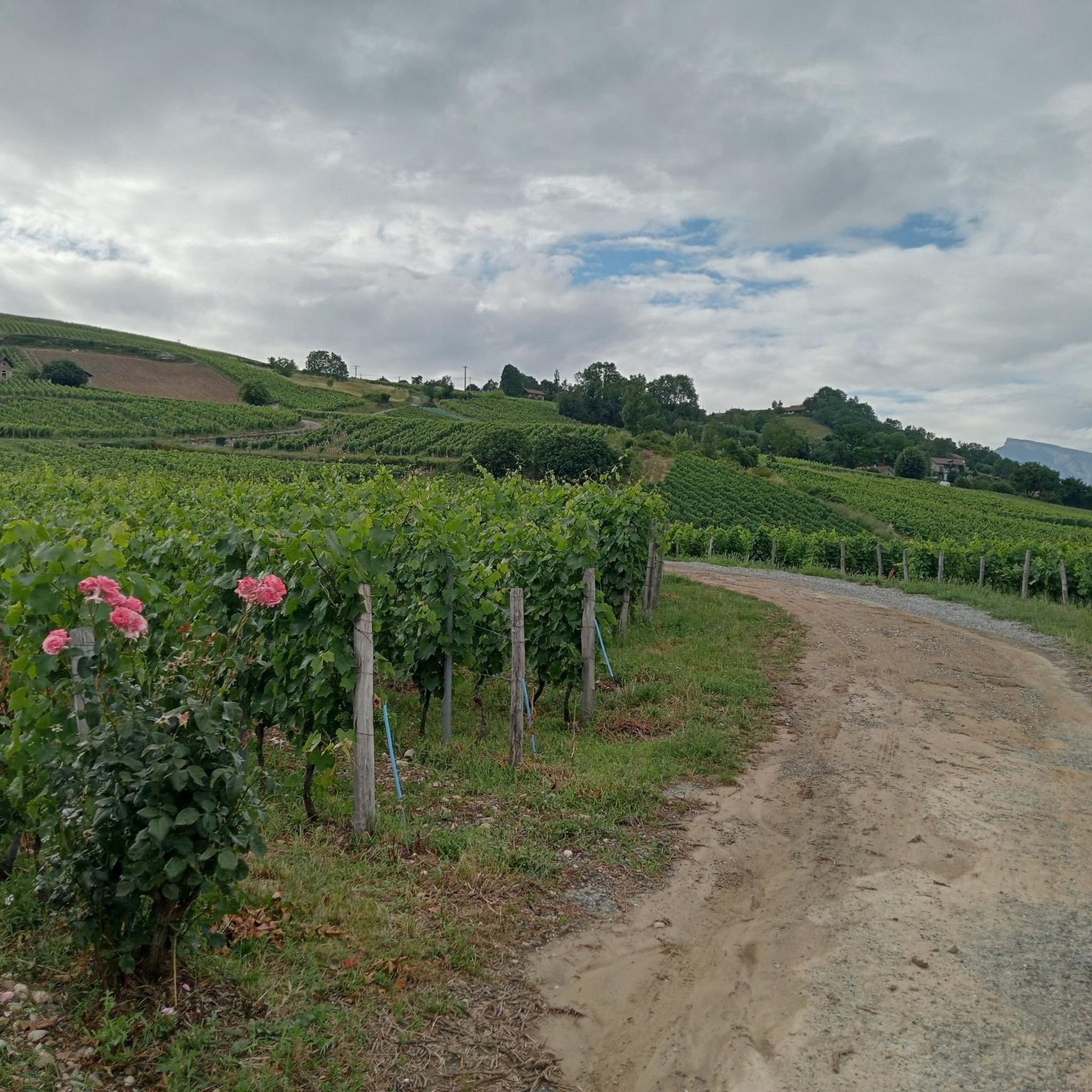
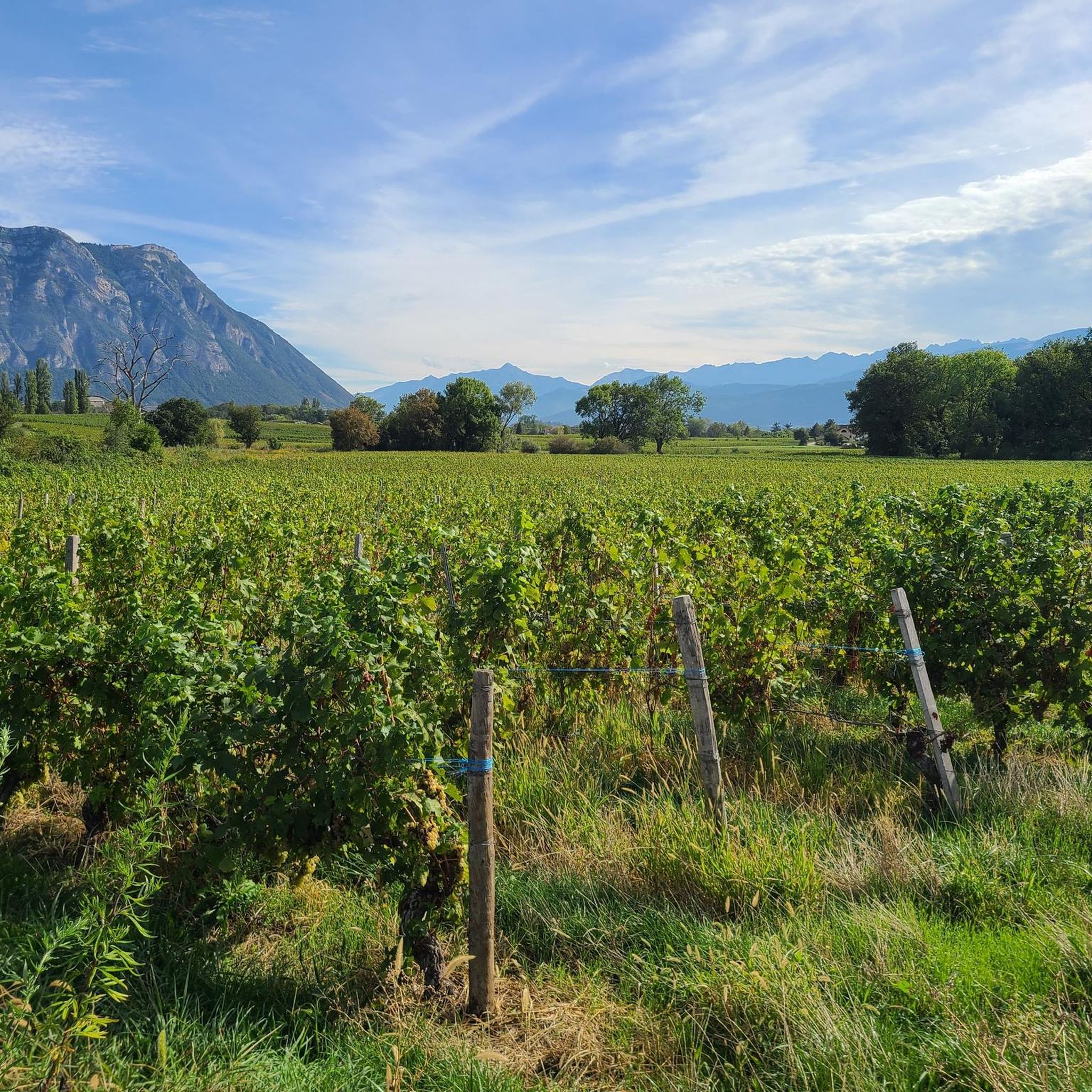
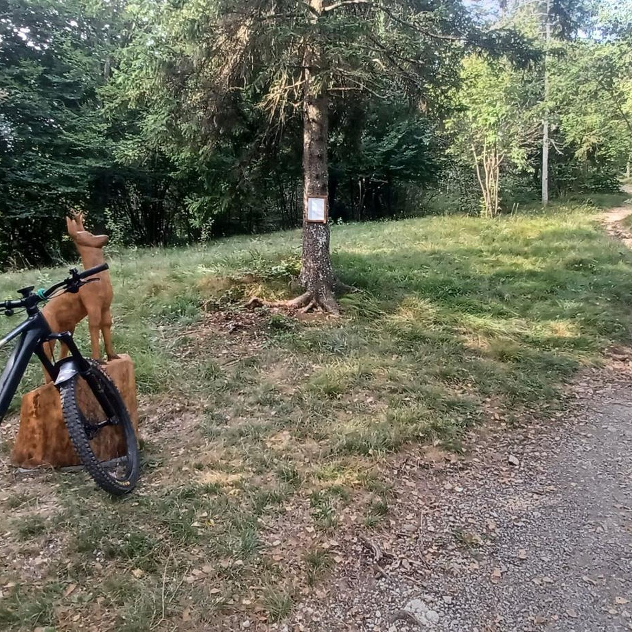
Tips from the Community

Proper climb from Chambery, beautiful views of the Chartreuse.
0
0

Caution: This section involves a semi-stop and traverse along a cliff face without a handrail. Not recommended for people prone to vertigo or for children.
0
0
Warning: The climb from the east side is extremely steep! An average gradient of around 10% over 9-10 km.
2
0

Very good and quite accessible as a pass. Be careful of overtaking cars.
1
2

From Saint Pierre you pass through Entrement le veux and arrive at the top of Col de Granier, if you take the first right towards Col de Marcieu until Saint Hillaire de Touvet and descend into the valley to Grenoble, very calm, rolling and bucolic
0
0

Done today, lots of snow at the top, the climbing sections are dry and the descent too
0
0

Wonderful panorama of the Bauges, the Chambéry valley and all the massifs of the Northern Alps.
0
0

As you climb up to the Col de l'Alpe, you will find a summit cross dating from the early 20th century. Erected in 1926, it was built to commemorate local climbers and hikers who lost their lives in the Alps.
2
0
Frequently Asked Questions
How many mountaineering routes are available around Les Marches?
There are 9 mountaineering routes detailed in this guide for the Les Marches area, offering a range of experiences within the Chartreuse and Bauges massifs.
What is the typical difficulty level for mountaineering routes in Les Marches?
The majority of mountaineering routes around Les Marches are classified as difficult, with 7 out of 9 routes falling into this category. There are also 2 moderate routes available for those seeking a less strenuous experience.
Are there any moderate mountaineering routes suitable for those with less experience?
Yes, there are a couple of moderate routes. You could consider the Pas de Belles Ombres loop from Sainte-Marie-du-Mont, which is about 5.4 km long and takes around 2 hours 35 minutes. Another option is the Pointe de la Galoppaz loop from Puygros, an 8.3 km route typically completed in about 4 hours 15 minutes.
What kind of terrain can I expect on mountaineering routes in Les Marches?
The terrain around Les Marches is characterized by the rugged limestone peaks of the Chartreuse and Bauges massifs. You'll encounter a diverse landscape, including dense forests at lower elevations, exposed alpine meadows, and rocky summits. Routes often feature significant elevation gain.
Are there any circular mountaineering routes in Les Marches?
Yes, many routes in the area are circular. For example, the challenging Mont Granier – Col de l'Alpette loop from Parking de la Plagne is a popular circular option. Another is the Mount Outheran - 1686 m loop from Le Désert d'Entremont, which also offers a loop experience.
What are some notable natural attractions or viewpoints along the mountaineering routes?
The region offers stunning natural beauty. Along your routes, you might encounter highlights such as Mount Outheran itself, or enjoy panoramic views from Mont Grêle Viewpoint. The area is also dotted with beautiful lakes like Lake Saint-André and Lac de Sainte Hélène, which can be seen from various vantage points.
What do other mountaineers say about the routes in Les Marches?
The mountaineering routes in Les Marches are highly regarded by the komoot community, holding an average rating of 4.7 stars from over 10 reviews. Mountaineers often praise the expansive mountain vistas and the challenging nature of the ascents.
Is there parking available at the trailheads for these routes?
Yes, many routes, especially the popular ones, start from designated parking areas. For instance, the Mont Granier – Col de l'Alpette loop begins from Parking de la Plagne, indicating specific parking facilities are available for access.
Are there any permits required for mountaineering in the Les Marches area?
Generally, permits are not required for standard mountaineering routes in the Chartreuse and Bauges massifs. However, it's always advisable to check local regulations, especially if you plan to venture into protected areas or engage in specific climbing activities that might have restrictions.
What is the best season for mountaineering in Les Marches?
The best season for mountaineering in Les Marches is typically from late spring to early autumn (May to October), when trails are generally clear of snow and weather conditions are more stable. Always check current weather forecasts and trail conditions before heading out, as alpine weather can change rapidly.
Are there any longer, more challenging mountaineering routes in the area?
For a longer and more challenging experience, consider the Pointe de la Galoppaz – Col de la Buffaz loop from Puygros. This difficult route spans about 12.0 km and involves over 1000 meters of elevation gain, typically taking around 5 hours 31 minutes to complete.
Most popular routes around Les Marches
Most popular attractions around Les Marches

Get inspired with the komoot mobile app


Explore more
Browse the best Mountain Hikes & Routes in other regions.
