The best mountain hikes around Pierre-Châtel
4.8
(7)
84
hikers
7
hikes
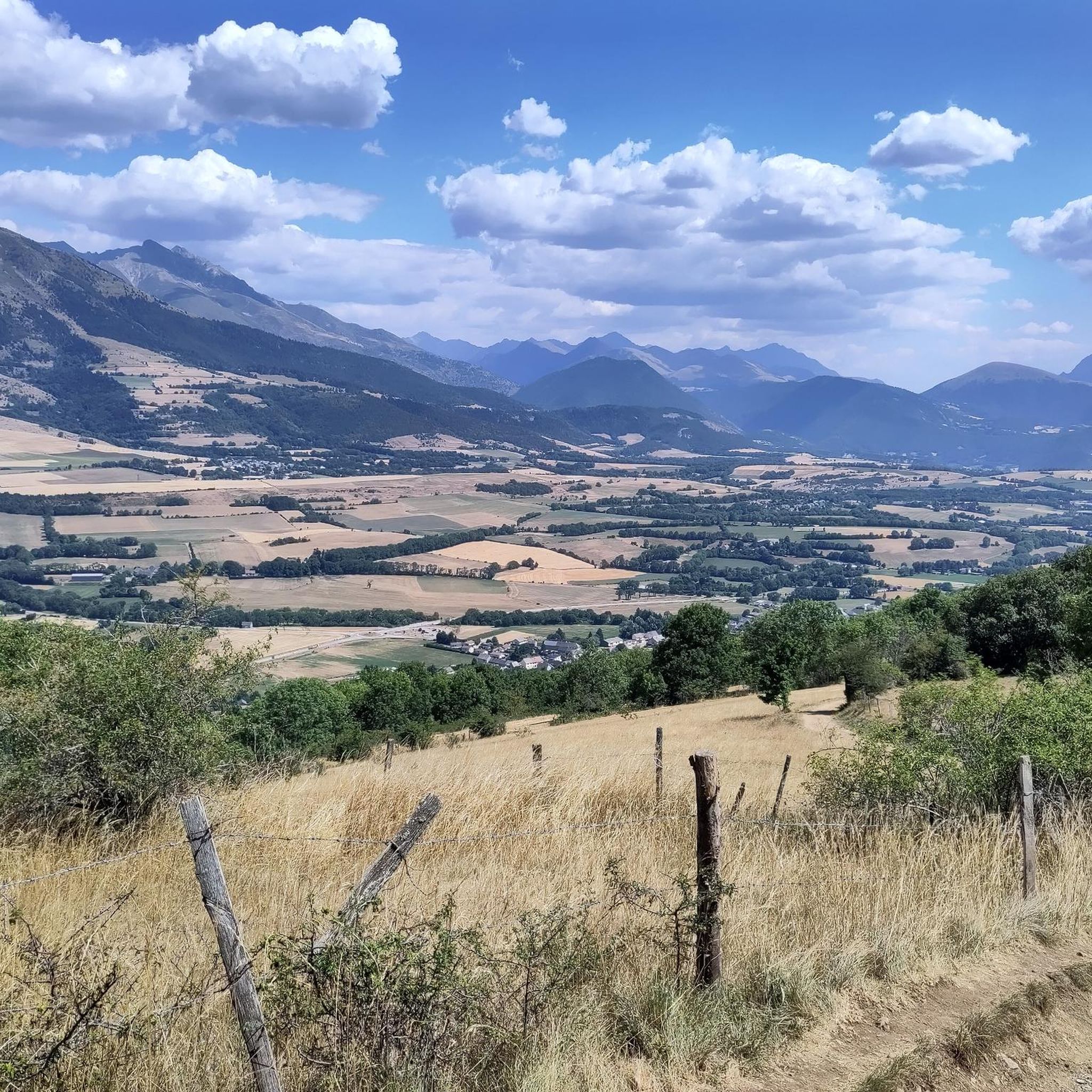
Mountaineering routes around Pierre-Châtel offer challenging ascents through the mountainous terrain of the Isère department. The region is characterized by significant elevation changes, leading to high-altitude lakes and panoramic viewpoints. These routes often traverse rugged paths, providing a true alpine experience for experienced mountaineers.
Best mountaineering routes around Pierre-Châtel
- The most popular mountaineering route is Via Ferrata du Grand Bec – Lac de Brouffier loop from La Morte, a 6.3 miles (10.2 km) trail that takes 5 hours 52…
Last updated: June 24, 2026
5.0
(1)
16
hikers
10.2km
05:52
850m
850m
Hard mountaineering route. Very good fitness required. Sure-footedness, sturdy shoes and alpine experience required.
12
hikers
9.18km
04:16
790m
790m
Hard mountaineering route. Good fitness required. Sure-footedness, sturdy shoes and alpine experience required.

Sign up for free
4.0
(1)
11
hikers
8.99km
04:04
830m
830m
Hard mountaineering route. Good fitness required. Sure-footedness, sturdy shoes and alpine experience required.
5.0
(2)
7
hikers
15.4km
05:19
750m
750m
Hard mountaineering route. Very good fitness required. Mostly accessible paths. Sure-footedness required.
5.0
(1)
6
hikers
12.7km
04:05
470m
470m
Moderate mountaineering route. Good fitness required. Mostly accessible paths. Sure-footedness required.
Get access to more routes and recommendations from other explorers.
Sign up for free
Already have an account?
Our route recommendations are based on thousands of hikes, rides, and runs completed by other people on komoot.
Start today with a free account
Your next adventure awaits.
Login or Signup
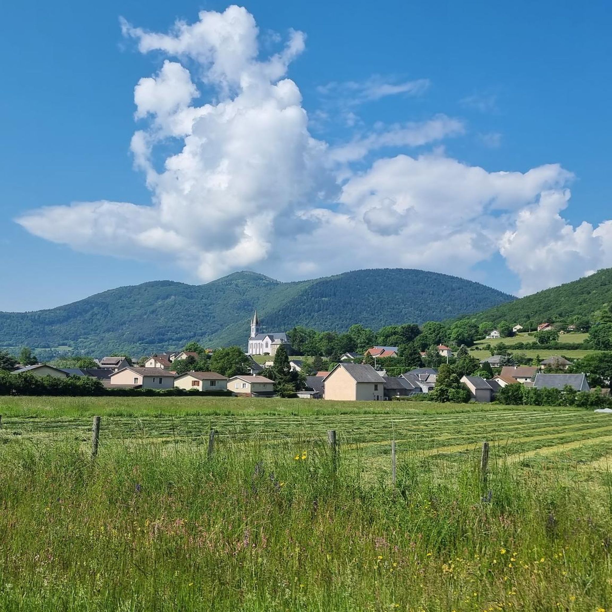
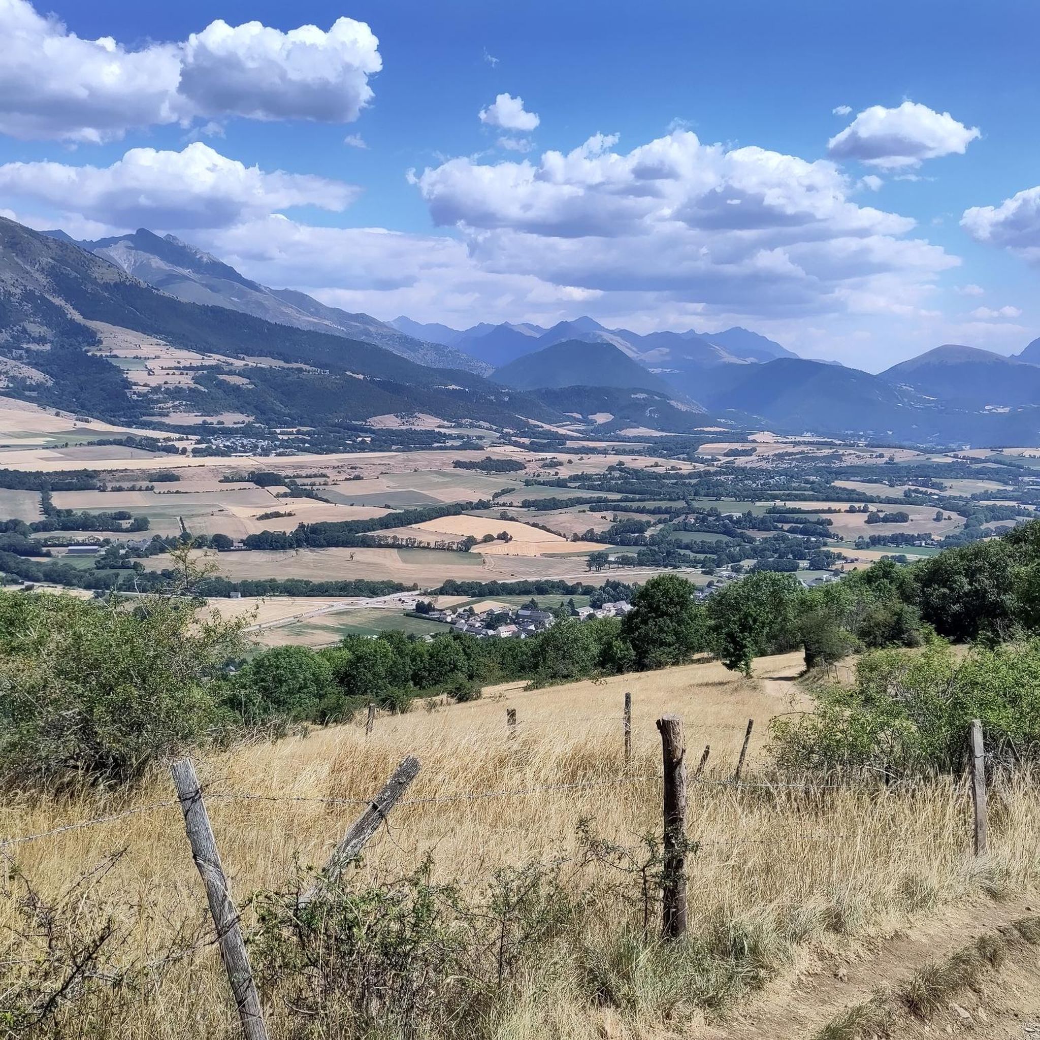
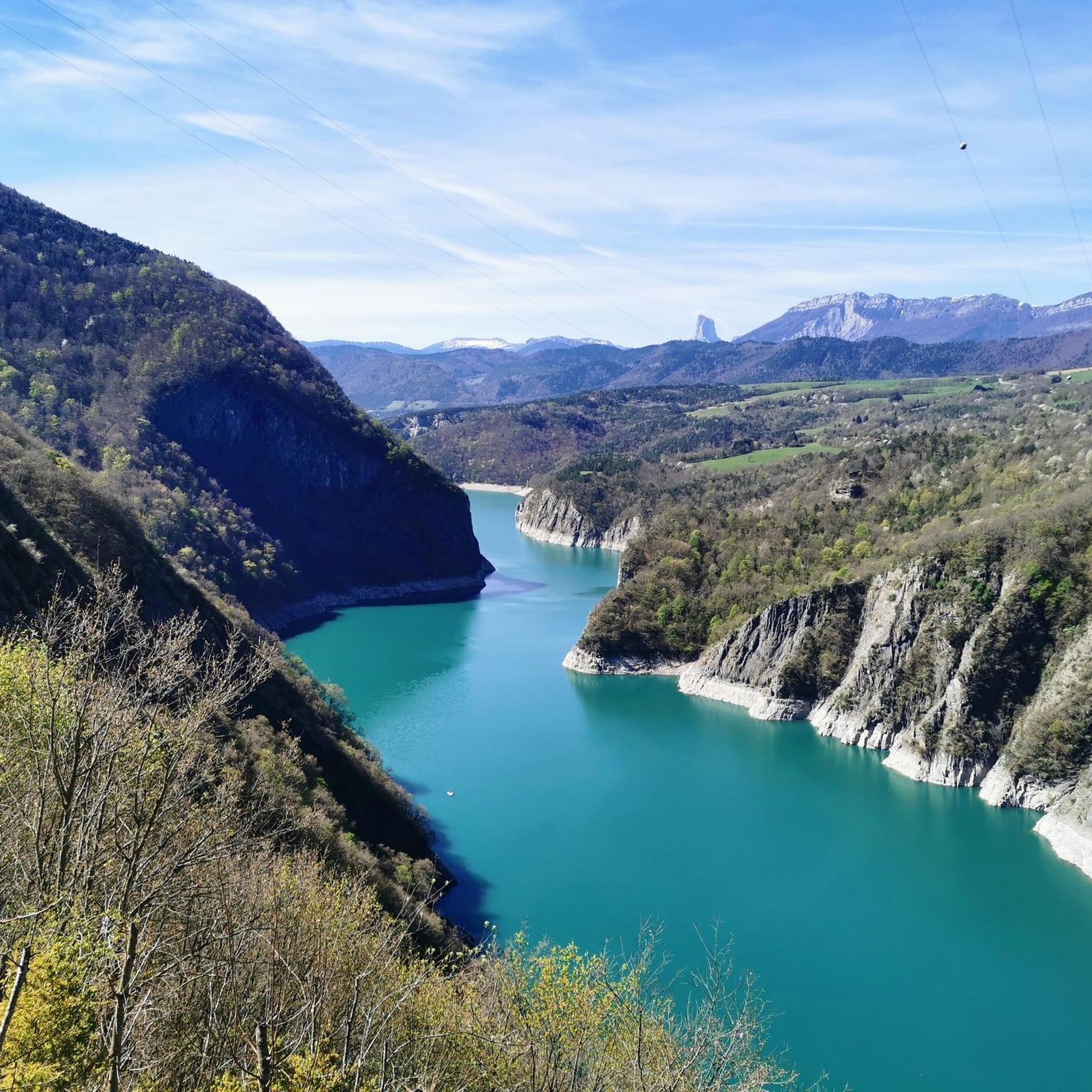

Tips from the Community

fairly easy, very nice views, quiet roads.
0
0


A high-altitude lake, very quiet and rarely visited. The lake is at an altitude of 2,115 m. It offers breathtaking 360° views.
0
0


great hike to do in good weather. very shaded
0
0

The Pont de Brion belvedere offers a breathtaking view of the charming stone bridge that spans the river below, with green hills as a backdrop. Along the trail, enjoy the tranquility of the place and the vibrant greenery that characterizes this picturesque spot.
0
0

Beautiful but unfortunately becoming a bit of a victim of its success. Done on the morning of November 2nd and there were a lot of people.
2
1

Incredible vertiginous footbridge, one of the 2 Himalayan footbridges
0
0
Frequently Asked Questions
How many mountaineering routes are available around Pierre-Châtel?
There are 7 mountaineering routes documented around Pierre-Châtel on komoot. These routes offer a range of challenging ascents through the mountainous terrain of the Isère department.
Are there any easy mountaineering routes for beginners in Pierre-Châtel?
The mountaineering routes around Pierre-Châtel are generally characterized by significant elevation changes and rugged paths, providing an alpine experience primarily for experienced mountaineers. All listed routes are currently rated as 'difficult' or 'moderate', with 5 difficult and 2 moderate options. There are no routes specifically classified as 'easy' for beginners in this selection.
What kind of challenges can I expect on mountaineering routes in Pierre-Châtel?
Mountaineering routes in Pierre-Châtel are known for their challenging ascents, substantial elevation gain, and rugged alpine paths. For example, the Via Ferrata du Grand Bec – Lac de Brouffier loop from La Morte includes a via ferrata section, adding an extra layer of technical difficulty. Many routes lead to high-altitude lakes and panoramic viewpoints, requiring good physical condition and experience.
Are there circular mountaineering routes in the Pierre-Châtel area?
Yes, many of the mountaineering routes around Pierre-Châtel are designed as loops. For instance, the popular Lac Charlet – L'Oreille du Loup loop from Villard-Saint-Christophe and the Le Tabor loop from Villard-Saint-Christophe are both circular paths, allowing you to return to your starting point without retracing your steps.
What are some scenic viewpoints or attractions I can find along the routes?
The region offers stunning natural beauty. Along the routes, you can discover high-altitude lakes like Lac de Brouffier and Lac Charlet. You might also encounter impressive structures such as the Ebron Footbridge and the Drac Footbridge. For panoramic views, consider routes that pass by summits like Tabor Summit, which offers a 360° vista.
What do other mountaineers appreciate about the routes in Pierre-Châtel?
The mountaineering routes in Pierre-Châtel are highly rated by the komoot community, with an average score of 4.8 stars from over 8 reviews. Mountaineers often praise the challenging ascents, the rewarding panoramic viewpoints, and the rugged alpine landscapes that provide a true high-mountain experience.
What is the typical duration for mountaineering routes around Pierre-Châtel?
The duration for mountaineering routes in Pierre-Châtel varies depending on the specific trail and your pace. For example, the Via Ferrata du Grand Bec – Lac de Brouffier loop typically takes around 5 hours 52 minutes to complete, while the Le Tabor loop can be completed in about 4 hours 4 minutes. Most routes require several hours of dedicated hiking.
Are there options for less crowded mountaineering experiences?
While some routes are popular, exploring options like the Lac Charlet – Le Tabor loop from Villard-Saint-Christophe might offer a more serene experience, especially during off-peak times. Generally, the challenging nature of these routes tends to naturally filter out very large crowds, providing a more solitary alpine adventure.
Is there parking available near the mountaineering trailheads?
Yes, most mountaineering routes in the Pierre-Châtel area start from villages or accessible points where parking is typically available. For routes originating from Villard-Saint-Christophe or La Morte, you will usually find designated parking areas suitable for accessing the trailheads.
What is the best time of year for mountaineering in Pierre-Châtel?
The best time for mountaineering in Pierre-Châtel is generally during the late spring, summer, and early autumn months (June to September). During this period, snow has usually melted from higher elevations, and weather conditions are more stable, making the rugged alpine paths safer and more accessible. Always check local weather forecasts and trail conditions before heading out.
Are there any family-friendly mountaineering routes?
Given the significant elevation changes and rugged terrain, most mountaineering routes around Pierre-Châtel are considered difficult or moderate and are best suited for experienced hikers. There are no routes specifically highlighted as 'easy' or 'family-friendly' in this selection. Families with younger children or those seeking less strenuous options might consider other types of hikes in the broader region.
Most popular routes around Pierre-Châtel
Most popular attractions around Pierre-Châtel

Get inspired with the komoot mobile app


Explore more
Browse the best Mountain Hikes & Routes in other regions.
