The best mountain hikes around Villard-Reymond
4.6
(6)
28
hikers
6
hikes
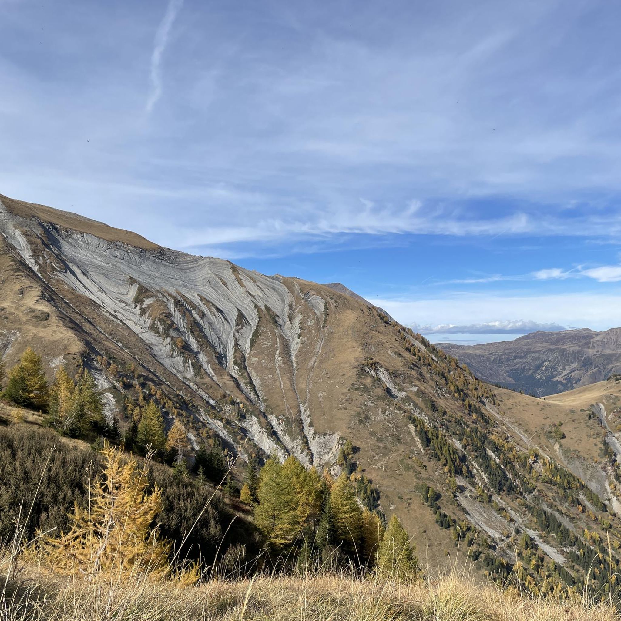
Mountaineering routes around Villard-Reymond offer diverse terrain within the French Alps. The region is characterized by significant elevation changes, alpine lakes, and forested valleys, providing varied challenges for mountaineers. These routes often traverse rocky paths and open mountain landscapes, with some trails leading to higher alpine environments. The area's geology supports both moderate and advanced mountaineering trails.
Best mountaineering routes around Villard-Reymond
- The most popular mountaineering route is Lake Lauvitel loop from La Danchère, a 4.1 miles (6.6 km)…
Last updated: October 11, 2026
3.7
(3)
8
hikers
10.9km
06:27
1,180m
1,170m
Hard mountaineering route. Very good fitness required. Mostly accessible paths. Sure-footedness required.
5.0
(2)
8
hikers
16.7km
04:54
440m
440m
Moderate mountaineering route. Good fitness required. Mostly accessible paths. Sure-footedness required.

5.0
(1)
5
hikers
10.5km
03:52
510m
510m
Moderate mountaineering route. Good fitness required. Mostly accessible paths. Sure-footedness required.
4
hikers
9.88km
03:27
450m
450m
Moderate mountaineering route. Good fitness required. Mostly accessible paths. Sure-footedness required.
1
hikers
10.3km
04:07
590m
590m
Moderate mountaineering route. Good fitness required. Mostly accessible paths. Sure-footedness required.
Our route recommendations are based on thousands of hikes, rides, and runs completed by other people on komoot.
Start today with a free account
Your next adventure awaits.
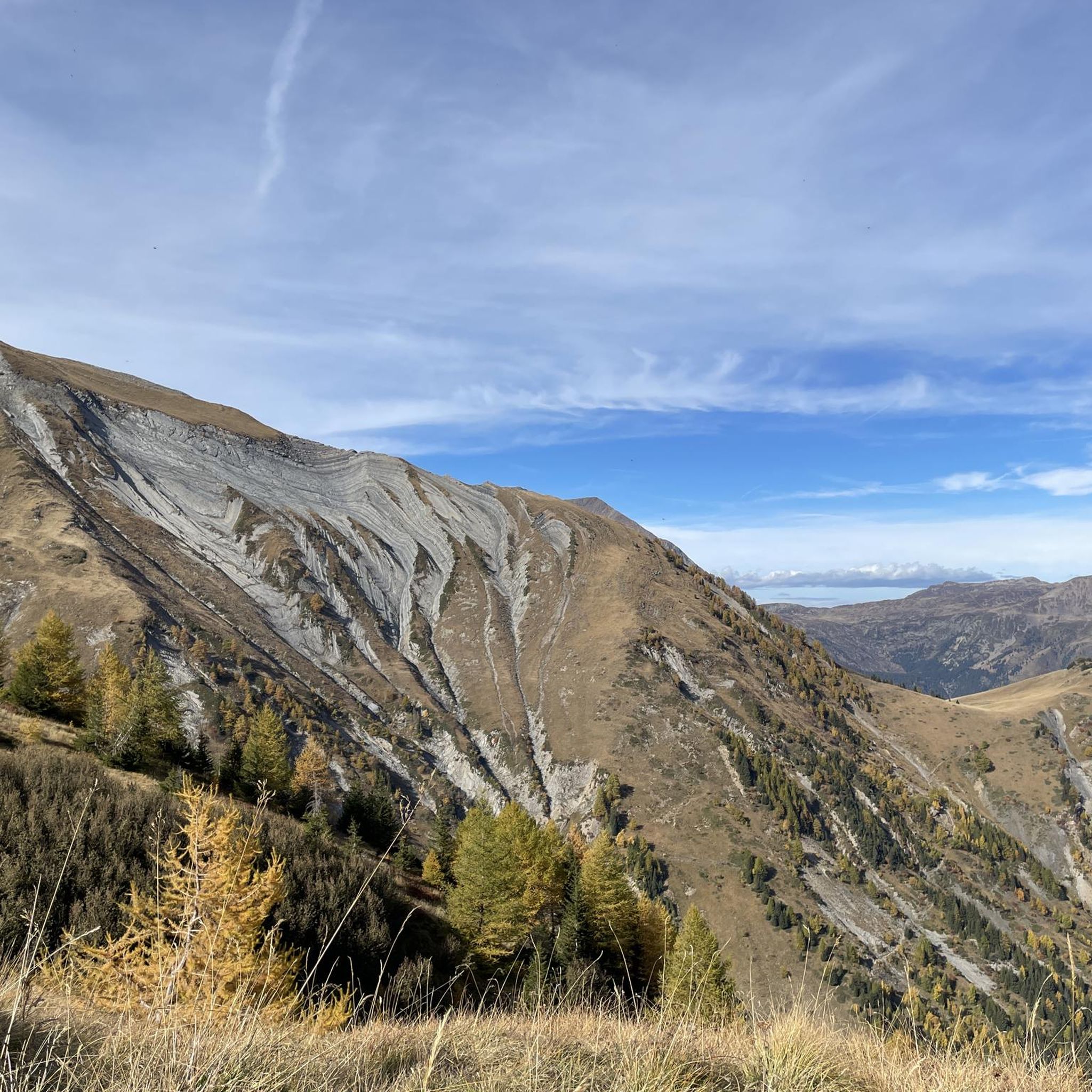
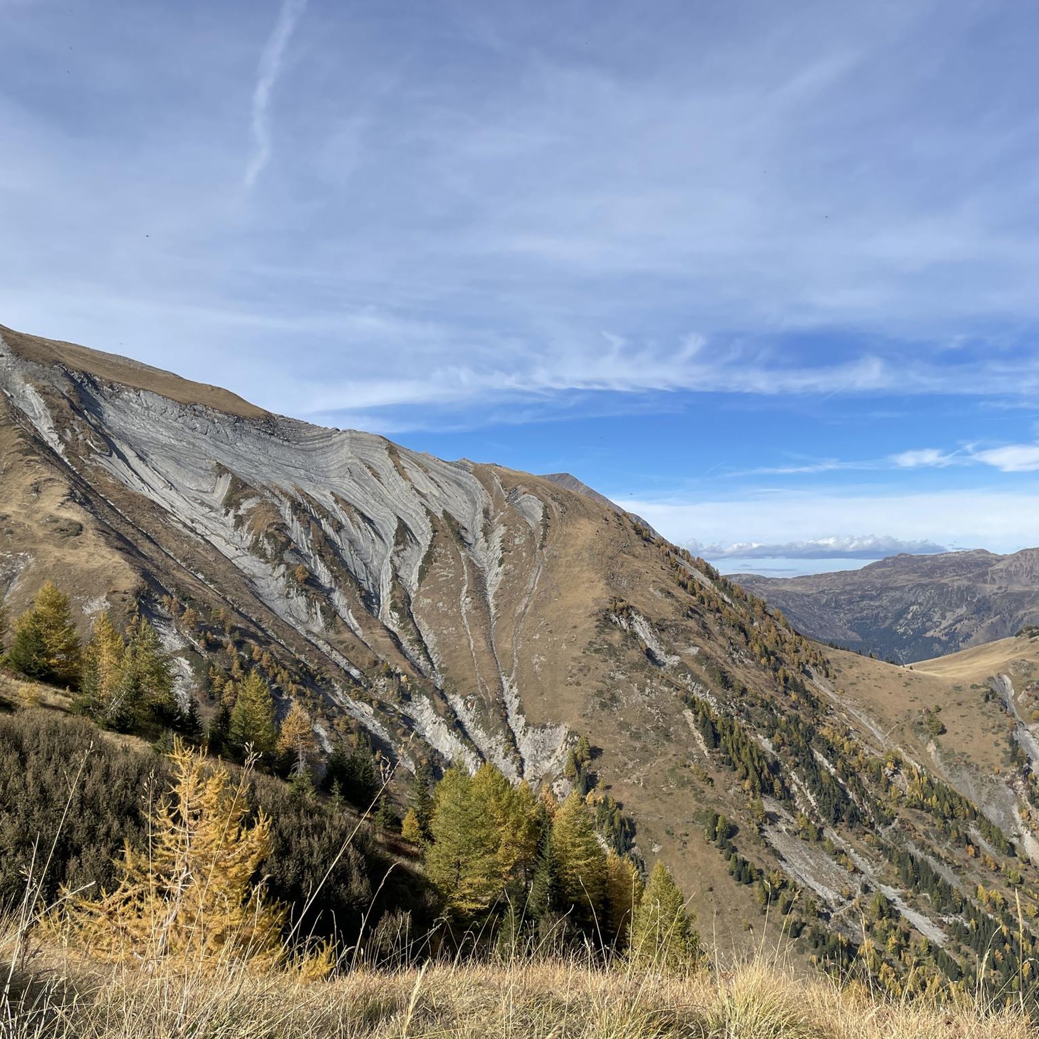
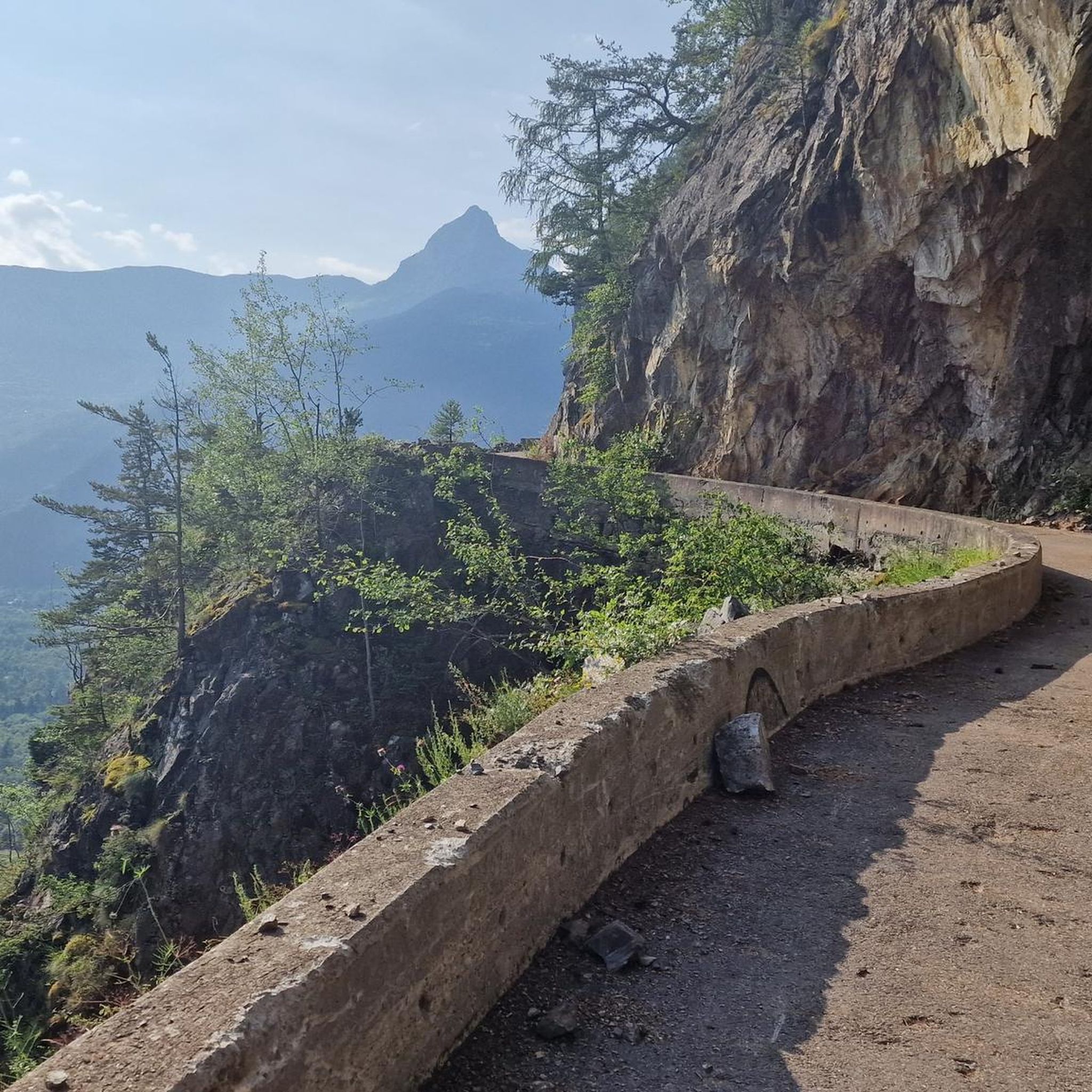
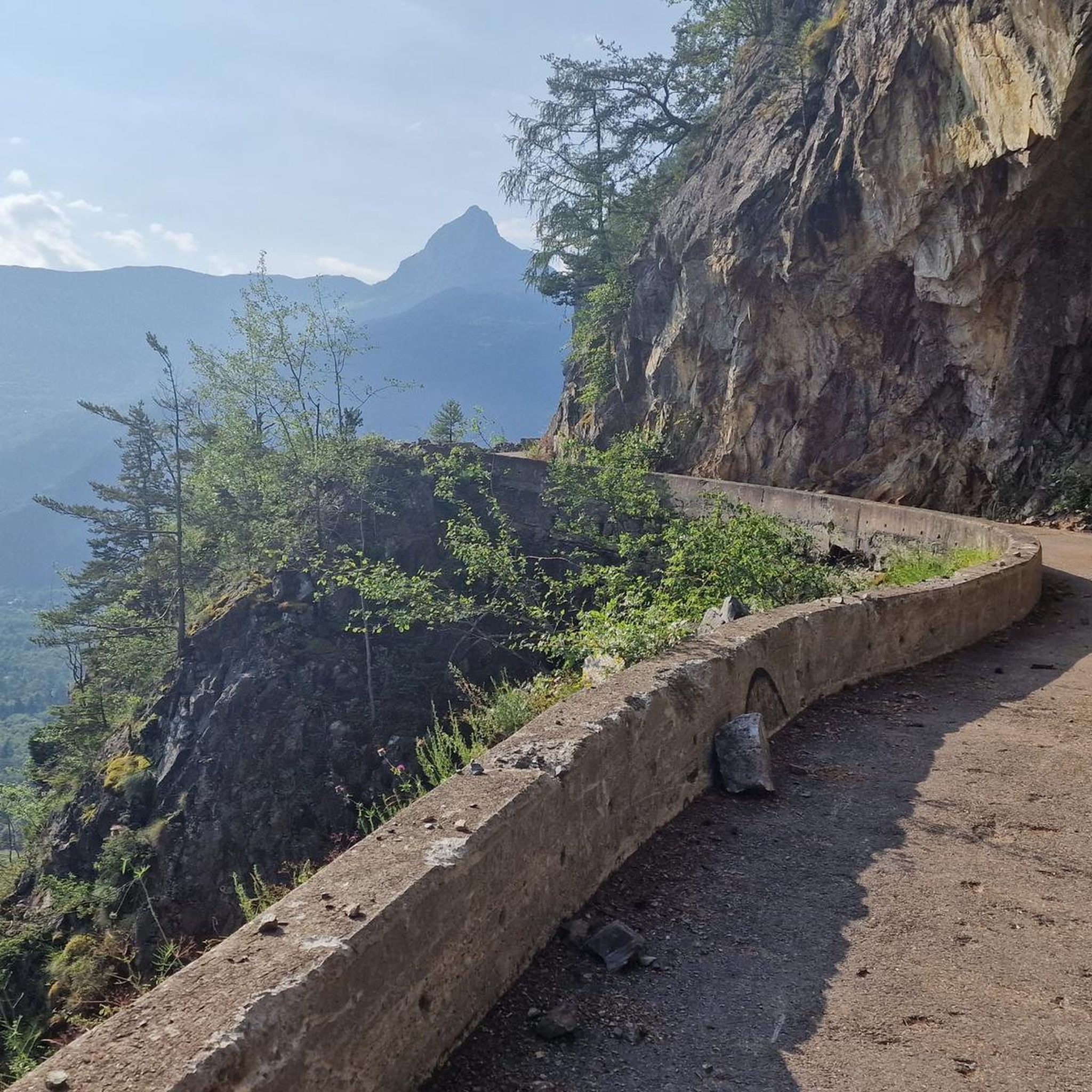
Tips from the Community

The summit is perfect for bivouacking, and with a windless night, it's even possible to sleep under the stars. The summit is very flat, making it easy to pitch a tent. Stay vigilant, it's a summit at 2,800 meters, very exposed to the wind.
0
0

The piste roundabout is a key point of the Alpe d’Huez resort. It is located at the start of several ski lifts.
0
0

Alpe d'Huez, located at 1,860 m in the Isère department, is a famous French ski resort that has been developing since the 1920s, known for the first automatic ski lift in 1936. A cycling mecca, it is famous for its 21 hairpin bends and the 1952 finish of Fausto Coppi in the Tour de France.
5
0

A great monument at the Tour de France.
2
0

A busy hiking trail in summer. All those lakes and vistas are beautiful.
0
0
A busy hiking trail in summer. All those lakes and vistas are beautiful.
0
0
Stage to take a photo when you get to the top.
11
0
Photo booth at the finish line at Alpe d'Huez.
12
0
Frequently Asked Questions
How many mountaineering routes can I explore around Villard-Reymond?
There are 9 distinct mountaineering routes available around Villard-Reymond, offering a variety of experiences within the French Alps. These routes are well-regarded by the komoot community, with an average rating of 4.5 stars from 15 reviews.
What is the general difficulty level of mountaineering routes in Villard-Reymond?
The routes around Villard-Reymond cater to a range of abilities. You'll find 6 moderate routes, which often involve significant climbs to alpine lakes or traverses through varied terrain. Additionally, there are 3 difficult routes, typically featuring substantial elevation gains and rugged mountain paths, suitable for experienced mountaineers.
Are there any circular mountaineering routes in the area?
Yes, many of the mountaineering routes around Villard-Reymond are circular. For example, you could try the Lake Lauvitel loop from La Danchère, a moderate 6.6 km route, or the more challenging Col du Grand Van loop from Lac de Poursollet, which covers 10.7 km with significant elevation.
What kind of natural attractions can I expect to see along the mountaineering routes?
The mountaineering routes in Villard-Reymond are rich with natural beauty, particularly alpine lakes. You might encounter stunning spots like Lake Lauvitel, Lake Achard, or the expansive Lac du Chambon. Many routes traverse forested valleys and open mountain landscapes, offering diverse scenery.
Are there any longer, less steep mountaineering options for those seeking endurance over extreme ascent?
While many routes feature significant elevation, some offer a balance of distance and climb. The Lac de la Faucille – Lake Besson loop from Huez is a moderate 16.7 km route with a more gradual ascent compared to some of the steeper climbs, making it a good option for a longer day out.
What is the typical duration for mountaineering routes in Villard-Reymond?
The duration varies significantly based on the route's length and difficulty. Shorter, moderate routes like the Lake Lauvitel loop from La Danchère can take around 3 hours 25 minutes. Longer, more challenging routes, such as the La Jasse Sheepfold loop from Ornon, might require over 6 hours to complete.
What is the best time of year for mountaineering in Villard-Reymond?
The best time for mountaineering in Villard-Reymond, located in the French Alps, is typically from late spring to early autumn (June to September). During these months, snow has usually melted from higher elevations, and the weather is generally more stable, offering clearer paths and more pleasant conditions. Always check local weather forecasts before heading out.
Are there any mountaineering routes that pass by multiple lakes?
Yes, some routes offer the chance to see multiple alpine lakes. For instance, the Lac de la Faucille – Lake Besson loop from Huez takes you past both Lac de la Faucille and Lake Besson, providing beautiful lakeside scenery throughout your journey.
What do other mountaineers enjoy most about the routes in Villard-Reymond?
The komoot community highly rates the mountaineering routes in Villard-Reymond, with an average score of 4.5 stars. Reviewers often praise the diverse terrain, from forested valleys to high alpine environments, and the stunning alpine lakes encountered along the way. The variety of routes, from moderate to difficult, is also frequently highlighted.
Are there any moderate routes that are still quite long?
If you're looking for a longer, moderate challenge, the Lac de Poursollet loop from Lac de Poursollet is a great option. This route spans 10.5 km and involves a moderate ascent, offering a substantial day out without the extreme difficulty of some other trails.
What are the typical elevation gains on mountaineering routes in Villard-Reymond?
Elevation gains vary significantly. Moderate routes might see ascents of around 500-800 meters, such as the Lake Lauvitel loop from La Danchère with 549 meters of elevation gain. More difficult routes, like the Col du Grand Van loop from Lac de Poursollet, can involve over 1100 meters of climbing, providing a significant physical challenge.
Most popular routes around Villard-Reymond
Most popular attractions around Villard-Reymond

Get inspired with the komoot mobile app


Explore more
Browse the best Mountain Hikes & Routes in other regions.
