The best mountain hikes around Arcizans-Dessus
4.8
(7)
33
hikers
6
hikes
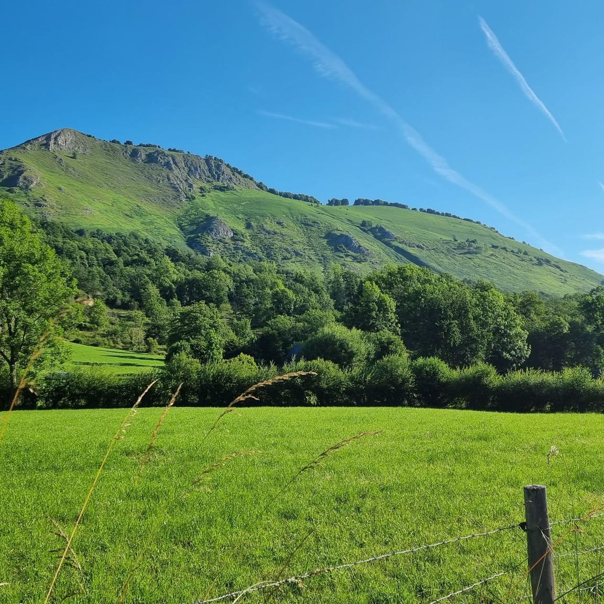
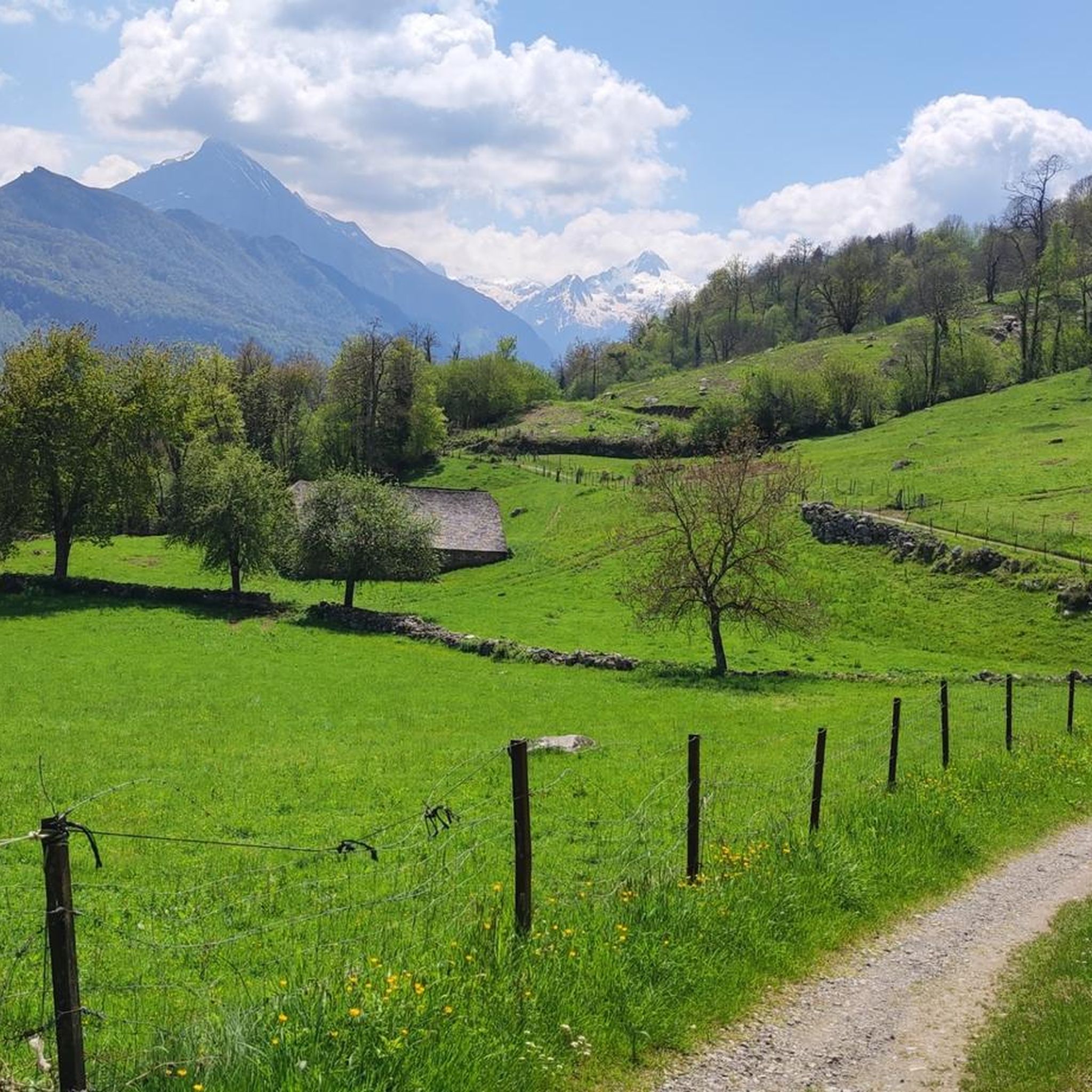
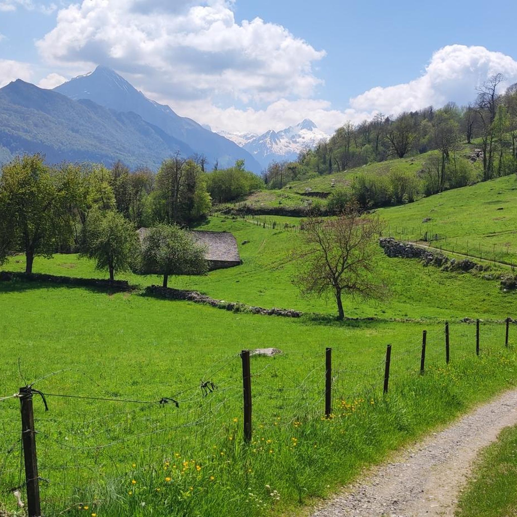
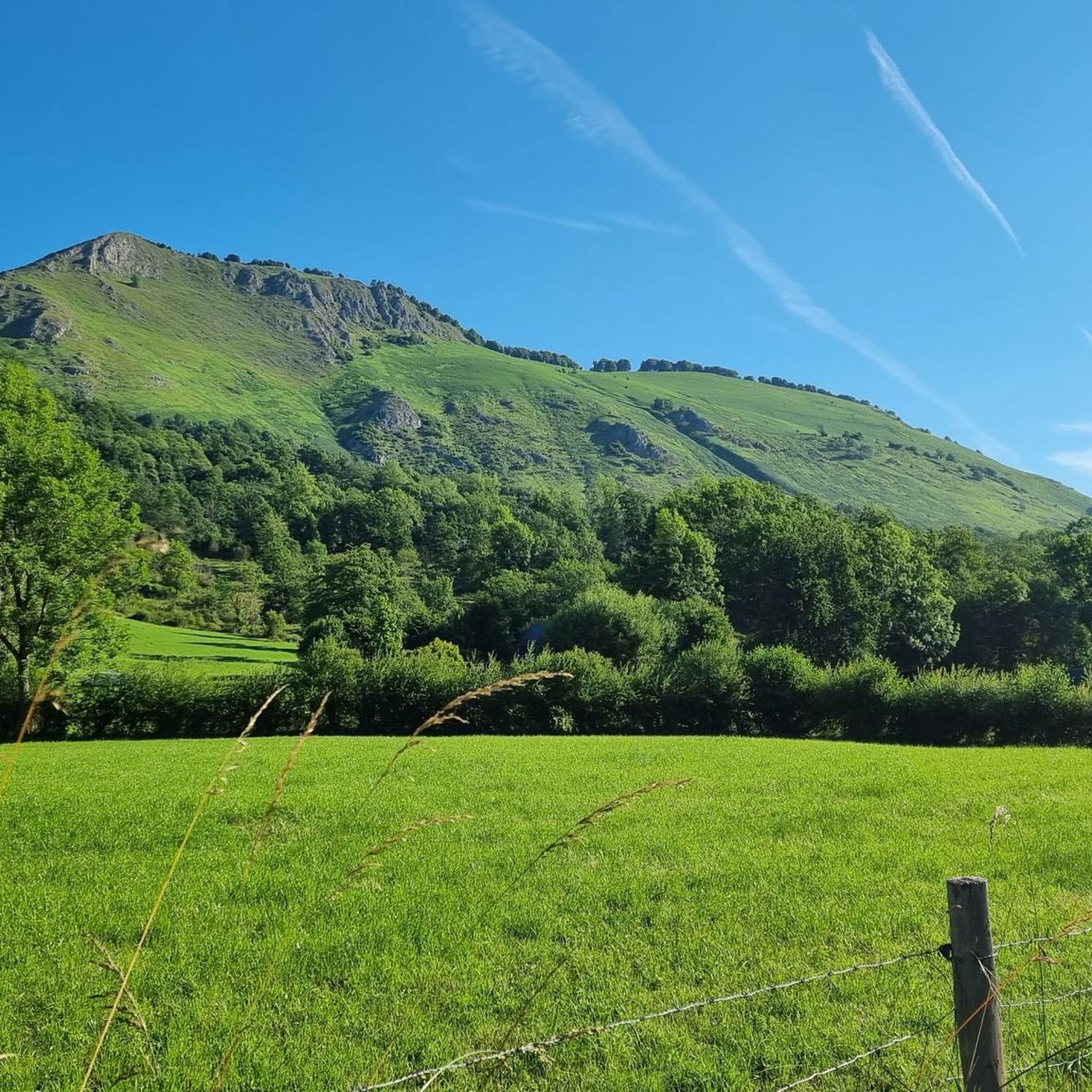
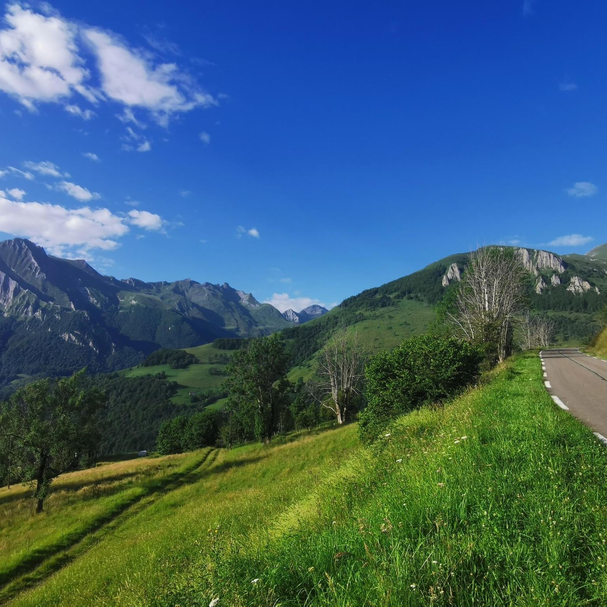
Mountaineering routes around Arcizans-Dessus feature a landscape characterized by prominent peaks and deep valleys within the Pyrenees. The region offers varied terrain, including challenging ascents and descents through mountainous environments. Elevations range significantly, providing diverse experiences for mountaineers. The area is known for its rugged beauty and opportunities for high-altitude exploration.
Best mountaineering routes around Arcizans-Dessus
- The most popular mountaineering route is Pic du Pibeste – Col des Portes loop from Ouzous, a 7.4 miles (12.0 km) trail that…
Last updated: June 24, 2026
4.7
(3)
11
hikers
11.9km
04:26
790m
790m
Moderate mountaineering route. Good fitness required. Easily-accessible paths. Suitable for all skill levels.
5.0
(1)
6
hikers
11.3km
04:10
730m
730m
Moderate mountaineering route. Good fitness required. Easily-accessible paths. Suitable for all skill levels.

Sign up for free
5
hikers
6.35km
02:25
400m
400m
Moderate mountaineering route. Good fitness required. Mostly accessible paths. Sure-footedness required.
4.5
(2)
4
hikers
14.5km
05:58
990m
990m
Hard mountaineering route. Very good fitness required. Sure-footedness, sturdy shoes and alpine experience required.
1
hikers
8.54km
03:31
600m
600m
Moderate mountaineering route. Good fitness required. Mostly accessible paths. Sure-footedness required.
Our route recommendations are based on thousands of hikes, rides, and runs completed by other people on komoot.
Start today with a free account
Your next adventure awaits.
Login or Signup

Tips from the Community

For your information, historically this was the arrival station for the cable car. It operated until the installation of the television and radio relay. After a storm, it's not uncommon for the relay to go into standby mode. TDF has a contract that runs from Monday to Friday. In case of a power outage, the weekend is reserved for reading or playing board games.
0
0

The climb to the peak requires good physical condition. You should also bring enough water as there are not many shaded sections.
0
0

viewpoint over the valley of the gift de pau.
1
0


Located at the foot of the Bazès peak and overlooking the Bergons valley, the refuge is at an altitude of 1,215 meters. At the heart of a natural environment, it welcomes walkers who take the GR101 and GRP Tour du Val d'Azun trails.
0
0
Located at almost 1,500 meters above sea level, the pass offers superb views of the Ouzoum and Bergons valleys.
0
0

Magnificent view over the plain and the Gaves valley. On the other hand, it is not an old luxury hotel at the top, but the old cable car station. There is indeed a project to transform it into a shelter, but the funding is not forthcoming.
1
0

Nice col for cycling. Pretty boring on top. Turn around and back
0
0
Frequently Asked Questions
How many mountaineering routes are there around Arcizans-Dessus?
There are 6 mountaineering routes available around Arcizans-Dessus, offering a range of experiences for those exploring the Pyrenees.
What are the difficulty levels of mountaineering routes near Arcizans-Dessus?
The mountaineering routes around Arcizans-Dessus are primarily geared towards experienced individuals. There are 5 moderate routes and 1 difficult route, with no easy routes listed.
Are there any advanced or difficult mountaineering routes in Arcizans-Dessus?
Yes, there is one difficult mountaineering route: Pibeste Peak loop from Agos-Vidalos. This challenging route covers 8.9 miles (14.3 km) with nearly 1000 meters of elevation gain, typically taking over 5 hours to complete.
What is the best time of year for mountaineering in Arcizans-Dessus?
The Pyrenees region, including Arcizans-Dessus, is best for mountaineering during the late spring, summer, and early autumn months (typically June to September). During these periods, snowmelt has usually cleared higher trails, and weather conditions are generally more stable, though mountain weather can change rapidly.
Are there circular mountaineering routes available in Arcizans-Dessus?
Yes, all 6 mountaineering routes around Arcizans-Dessus are circular. Examples include the Pic du Pibeste – Col des Portes loop from Ouzous and the Mount de Gez loop from Arras-en-Lavedan.
What kind of scenery can I expect on these mountaineering routes?
You can expect rugged mountain beauty, prominent peaks, and deep valleys characteristic of the Pyrenees. Routes often feature sustained climbs to panoramic viewpoints. For example, the Pic du Cabaliros loop from La Tucoy leads through high mountain passes and ridges, offering expansive vistas.
Are there any places to stop for food or shelter along the routes?
Yes, the region offers several huts and an auberge that can provide shelter or refreshments. Notable options include Cantau Hut, Auberge Le Pic de Pan, and Refuge du Haugarou. It's always advisable to check opening times and availability before your trip.
What do other mountaineers say about the routes in Arcizans-Dessus?
The mountaineering routes in Arcizans-Dessus are highly rated by the komoot community, with an average score of 4.8 stars from more than 10 reviews. Mountaineers often praise the challenging terrain, the rewarding panoramic views from the peaks, and the sense of high-altitude exploration.
Are there any notable landmarks or attractions to see while mountaineering?
Yes, the area is rich in natural landmarks. You might encounter mountain passes like Col du Soulor and Spandelles Pass, or even reach summits such as Pibeste Peak, which offers stunning views.
What is the typical length and duration of mountaineering routes in this area?
The mountaineering routes around Arcizans-Dessus vary in length, generally ranging from 4.9 miles (7.9 km) to 8.9 miles (14.3 km). Durations typically fall between 3 hours 12 minutes and 5 hours 55 minutes, depending on the route and your pace.
Is parking available near the trailheads for mountaineering routes?
While specific parking details for each trailhead are not provided, most mountain villages and starting points in the Pyrenees, such as Ouzous, Arras-en-Lavedan, and Agos-Vidalos, typically offer designated parking areas for hikers and mountaineers. It's recommended to check local signage upon arrival.
Are permits required for mountaineering in Arcizans-Dessus?
Generally, permits are not required for day mountaineering trips on established routes in the Pyrenees around Arcizans-Dessus. However, if you plan to enter specific protected areas, undertake multi-day expeditions with overnight stays in certain refuges, or engage in activities like climbing, it's always best to check with local park authorities or tourist information centers for any specific regulations.
Can I bring my dog on these mountaineering routes?
Many trails in the Pyrenees are dog-friendly, but regulations can vary, especially in national parks or nature reserves where dogs might be restricted or required to be on a leash to protect wildlife. It's advisable to check specific route guidelines or local regulations before bringing your dog, particularly for high-altitude or protected areas.
Most popular routes around Arcizans-Dessus
Most popular attractions around Arcizans-Dessus

Get inspired with the komoot mobile app


Explore more
Browse the best Mountain Hikes & Routes in other regions.
