The best mountain hikes around Fontrabiouse
4.8
(6)
27
hikers
4
hikes
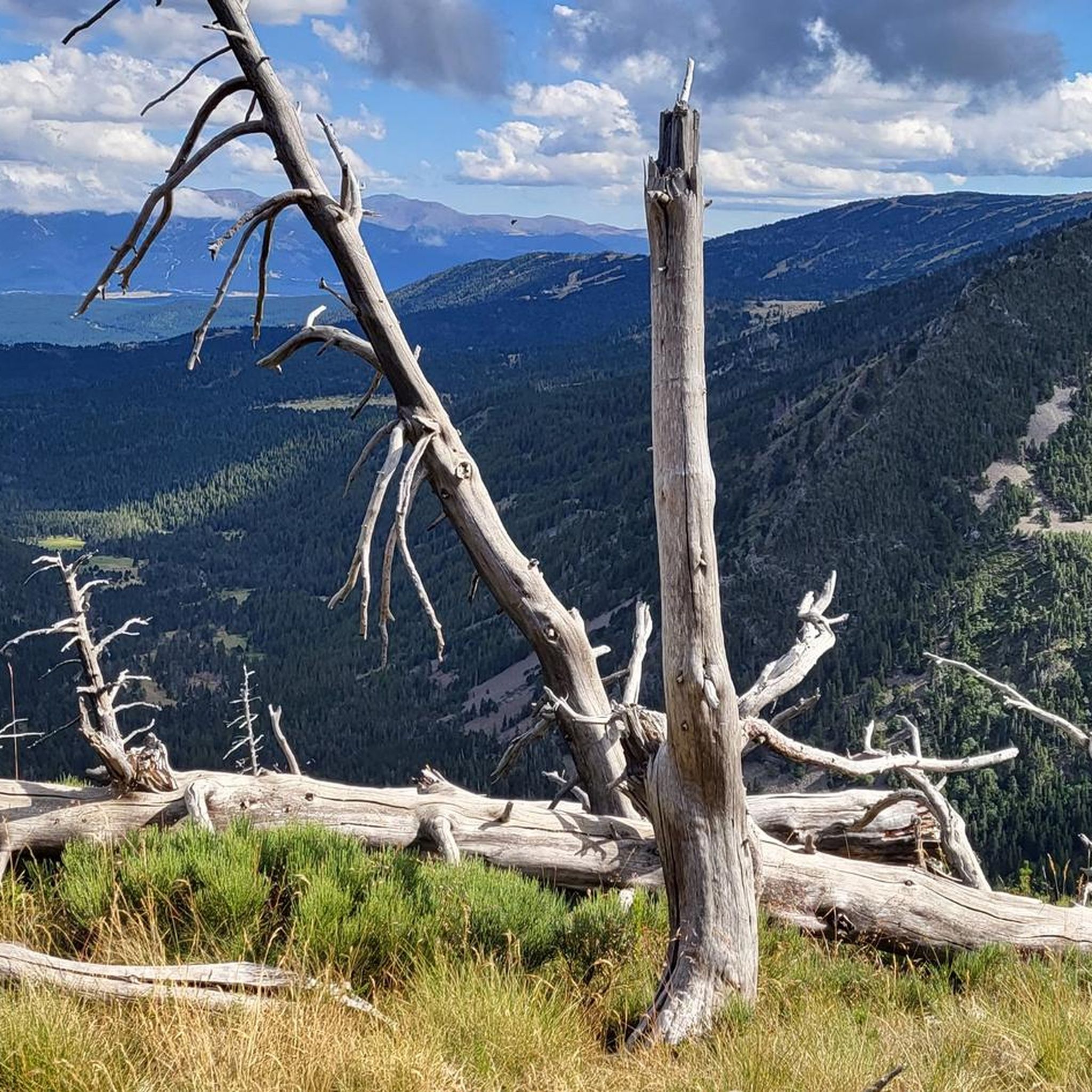
Mountaineering routes around Fontrabiouse are situated in the heart of the Capcir region within the Catalan Pyrenees. This area is characterized by a high plateau, an ancient glacial basin nestled between granite massifs, and a mountainous environment with several watercourses. The region offers access to diverse terrain, from high-altitude passes to numerous lakes, providing a varied landscape for exploration.
Best mountaineering routes around Fontrabiouse
- The most popular mountaineering route is Étang Bleu – Étang Noir loop from Port de Pailhères…
Last updated: July 8, 2026
11
hikers
26.7km
08:55
1,270m
1,270m
Hard mountaineering route. Very good fitness required. Easily-accessible paths. Suitable for all skill levels.
4.7
(3)
10
hikers
12.6km
04:34
370m
370m
Moderate mountaineering route. Good fitness required. Mostly accessible paths. Sure-footedness required.

Sign up for free
5.0
(3)
4
hikers
10.0km
03:35
590m
590m
Moderate mountaineering route. Good fitness required. Easily-accessible paths. Suitable for all skill levels.
2
hikers
13.5km
05:42
800m
810m
Hard mountaineering route. Very good fitness required. Sure-footedness, sturdy shoes and alpine experience required.
Our route recommendations are based on thousands of hikes, rides, and runs completed by other people on komoot.
Start today with a free account
Your next adventure awaits.
Login or Signup

Tips from the Community

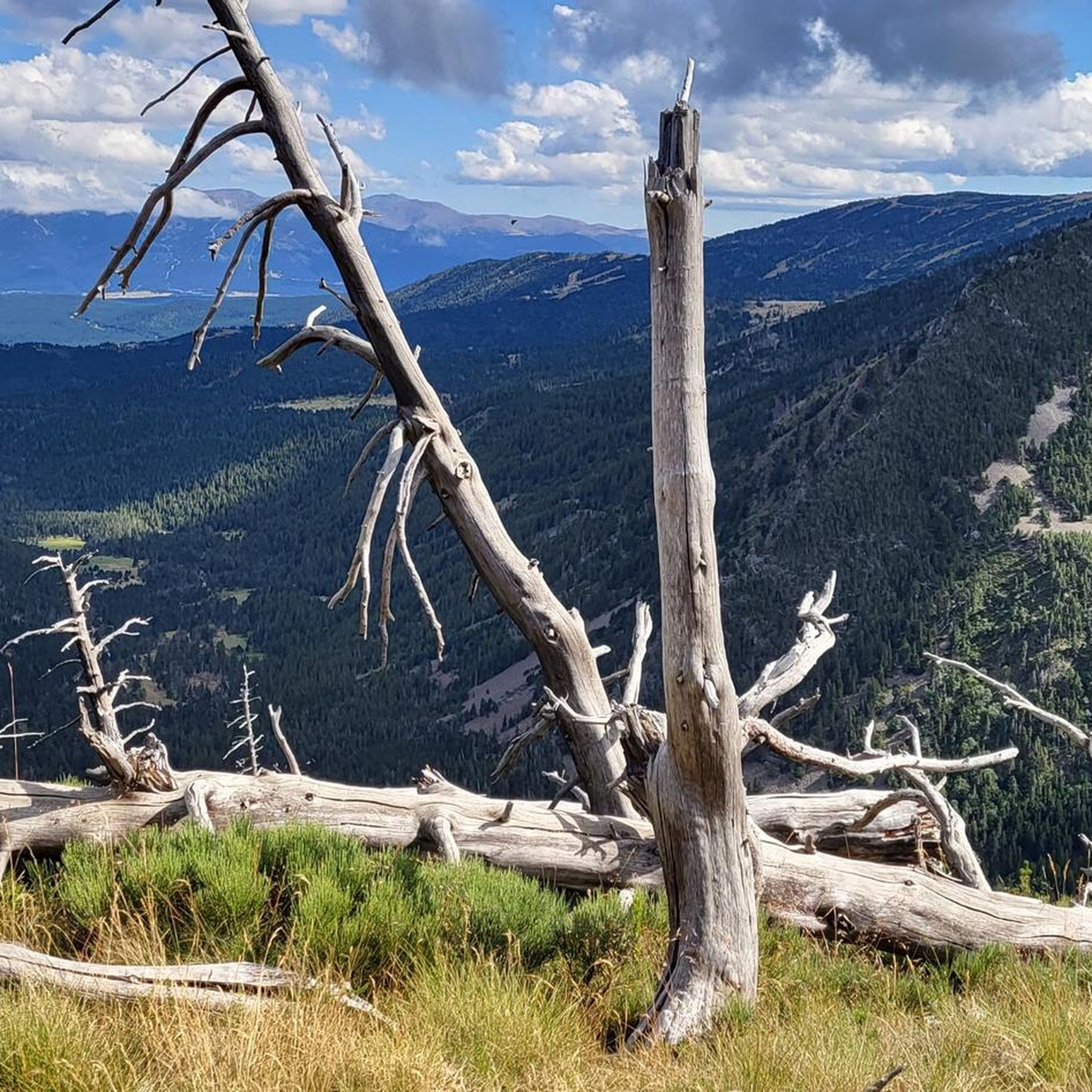
This super panoramic trail overlooks the El Galba watercourse, and offers all along a superb panorama of the Galbe valley. You are thus accompanied by fir trees, large green meadows and the mineral, snow-capped peaks in the background.
0
0
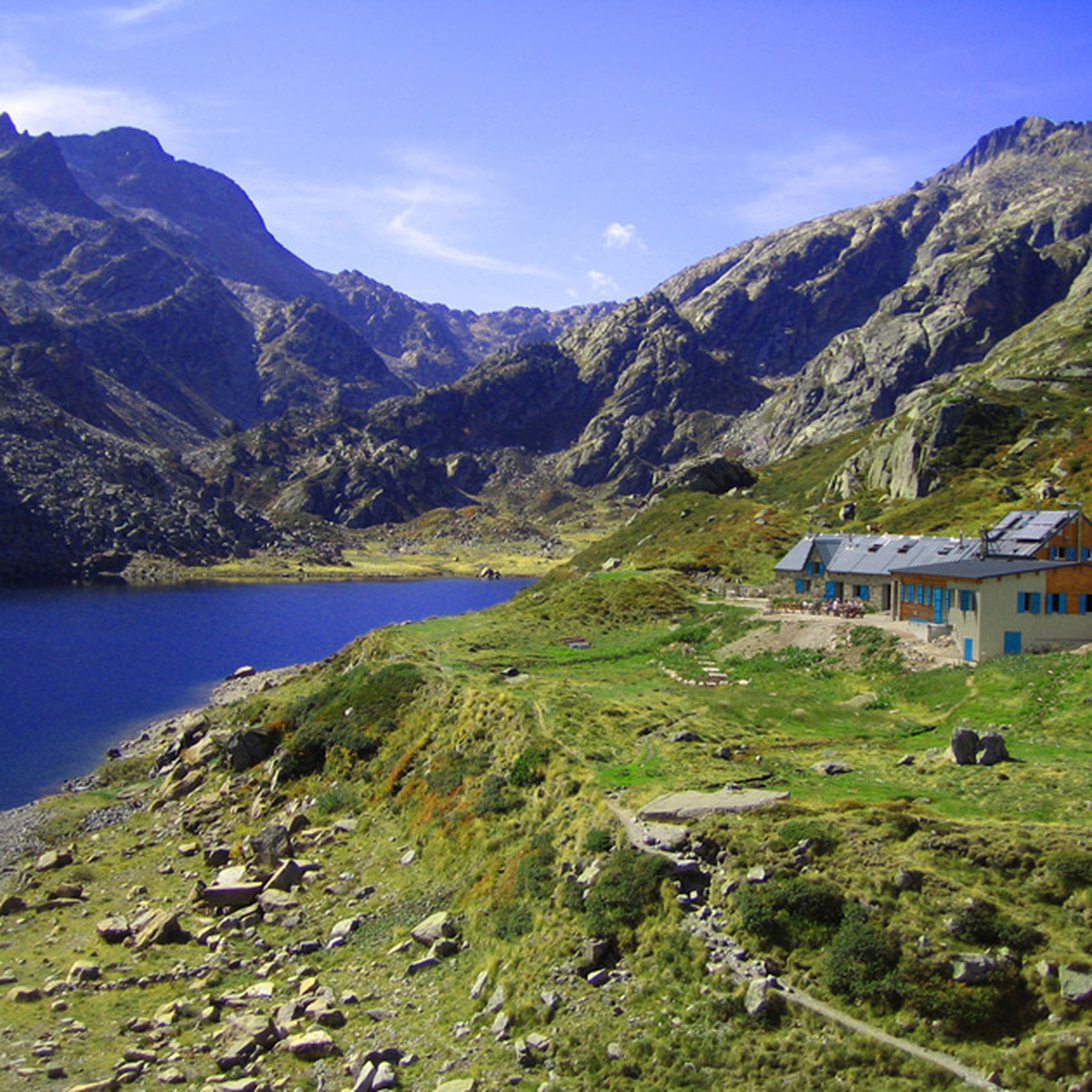
The L'abri de la Jasse is an open hut that allows you to stop for the night, but also to take a break sheltered from the sun or rain. It is set in a magnificent, peaceful natural setting, in the middle of a clearing dotted with pine trees.
0
0

Like the reflection of the sun on water, your eyes will sparkle with a thousand lights. A magnificent place, let's protect and share it
0
0

just a magnificent hike to take in to take in the views 💕
0
0

Dominated by the peaks of the Pérics, this beautiful lake lies in the middle of a vast hanging cirque, the former bed of a glacier.
0
0

Perfect for picnicking in the shade of the trees. Swimming prohibited due to pollution (sunscreen)
0
0
Beautiful spot with a view of the valley and the possibility of taking a framed photo. A second spot a few meters higher is also possible.
0
0
Dry toilets available but water point (source) 300 m from the refuge.
0
0
Frequently Asked Questions
What types of mountaineering routes are available around Fontrabiouse?
Fontrabiouse, located on the Capcir plateau, offers a diverse range of mountaineering routes. You'll find paths traversing ancient glacial basins, granite massifs, and high-altitude lake environments. The area features 6 routes, with an even split of 3 moderate and 3 difficult options, catering to various skill levels.
Are there any family-friendly mountaineering options near Fontrabiouse?
While mountaineering routes generally require a good level of fitness, some moderate trails might be suitable for families with older children who are experienced hikers. For example, the Étang Bleu – Étang Noir loop from Port de Pailhères is a moderate 7.2-mile route that explores a beautiful high-altitude lake environment.
Can I bring my dog on the mountaineering trails around Fontrabiouse?
Many trails in the Pyrenees are dog-friendly, but it's always best to check local regulations for specific routes, especially within protected natural areas like the Catalan Pyrenees Regional Natural Park. Ensure your dog is well-behaved, on a leash where required, and that you carry out all waste. The mountainous terrain can be challenging, so consider your dog's fitness and paw protection.
What natural landmarks or points of interest can I see while mountaineering in this region?
The Fontrabiouse area is rich in natural beauty. You can encounter stunning high-altitude lakes such as Lake Aude, Viver Lake, and Estany del Castellar. Mountain passes like Pailhères Pass also offer breathtaking views. The region's landscape is shaped by ancient glacial activity, providing unique geological features.
Are there any circular mountaineering routes available?
Yes, several routes in the area are circular, allowing you to return to your starting point without retracing your steps. Examples include the Étang Bleu – Étang Noir loop from Port de Pailhères and the challenging Serra da Mauri (2,412 m) – Lakes of Camporells loop from Formiguères.
What is the best time of year for mountaineering around Fontrabiouse?
The best time for mountaineering in the Capcir region generally spans from late spring to early autumn (June to September). During these months, snow has typically melted from higher elevations, and weather conditions are more stable. Always check local weather forecasts and trail conditions before heading out, as mountain weather can change rapidly.
Where can I find parking for trailheads in Fontrabiouse?
Specific parking information for each trailhead is usually detailed on individual route pages. For routes starting from locations like Port de Pailhères or Formiguères, there are often designated parking areas for hikers. It's advisable to arrive early, especially during peak season, as parking can fill up quickly.
What do other mountaineers say about the routes in Fontrabiouse?
The mountaineering routes around Fontrabiouse are highly regarded by the komoot community, holding an impressive average rating of 4.9 stars from over 10 reviews. Mountaineers often praise the varied terrain, the stunning high-altitude lakes, and the sense of adventure found in this part of the Catalan Pyrenees.
Are there any mountain refuges or huts along the routes?
Yes, the region includes mountain refuges that can serve as resting points or overnight stays on longer routes. For instance, the Refuge Bernardi (1930 m) – Lake Aude loop from Les Angles passes by a refuge. The En Beys Refuge is also a notable point of interest in the wider area.
What gear should I bring for mountaineering in Fontrabiouse?
Given the mountainous environment and varying difficulty levels, essential gear includes sturdy hiking boots, appropriate layers of clothing for changing weather, rain gear, a map and compass (or GPS device), sufficient water and food, sun protection, and a first-aid kit. For more challenging routes, consider trekking poles and potentially an ice axe or crampons if conditions warrant, especially early or late in the season.
Are there any challenging routes for experienced mountaineers?
Absolutely. For those seeking a significant challenge, routes like the Serra da Mauri (2,412 m) – Lakes of Camporells loop from Formiguères offer a difficult 17.4-mile path with substantial elevation gain. Another demanding option is the Refuge d'En Beys loop from Le Fanguil-Chalet, covering 10.6 miles with over 860 meters of ascent.
Can I find places to eat or stay near the mountaineering trails?
Fontrabiouse and nearby villages in the Capcir region offer various amenities. You can find cafes and accommodation options in these areas. Some routes also pass by mountain refuges, such as the En Beys Refuge or the Bouillouses Refuge, which may offer food and lodging, though it's always best to check availability and make reservations in advance.
Most popular routes around Fontrabiouse
Most popular attractions around Fontrabiouse

Get inspired with the komoot mobile app


Explore more
Browse the best Mountain Hikes & Routes in other regions.
