The best running trails around Fontrabiouse
4.5
(37)
5,010
runners
179
runs
Jogging around Fontrabiouse offers diverse routes through the Pyrénées-Orientales department of France. The region features high mountain passes, including the Pailhères Pass at 2,001 meters, providing challenging elevation gains. Trails often traverse the Natural Park of the Catalan Pyrenees, encompassing pristine natural landscapes and forests. Joggers can also find routes around water features like Lake Bouillouses, situated at 2,016 meters.
Best jogging routes around Fontrabiouse
- The most popular jogging route is Lakes of Camporells – Serra da Mauri (2,412 m)…
Last updated: August 28, 2026
5.0
(1)
389
runners
18.6km
02:11
180m
180m
Hard run. Very good fitness required. Mostly paved surfaces. Suitable for all skill levels.
58
runners
13.8km
02:16
870m
870m
Hard run. Very good fitness required. Mostly paved surfaces. Suitable for all skill levels.

Sign up for free
42
runners
20.0km
03:46
1,440m
1,440m
Hard run. Very good fitness required. Sure-footedness, sturdy shoes and alpine experience required.
21
runners
20.6km
03:02
900m
900m
Hard run. Very good fitness required. Mostly paved surfaces. Suitable for all skill levels.
20
runners
11.7km
01:47
600m
600m
Hard run. Very good fitness required. Mostly paved surfaces. Suitable for all skill levels.
Get access to more routes and recommendations from other explorers.
Sign up for free
Already have an account?
Our route recommendations are based on thousands of hikes, rides, and runs completed by other people on komoot.
Start today with a free account
Your next adventure awaits.
Login or Signup


Tips from the Community

The Matemale lake is located in the middle of the Capcir plateau. The color of its waters captures the attention and creates a desire: to get closer and perhaps take a dip. The lake is developed, and a equipped leisure base opens onto its shores. An ideal stopover.
0
0

Lake Matemale with its beautiful beaches is located at an altitude of 1500 metres and therefore the water is between 19 and 23°.
1
1


The trail winds through grassy expanses and you enjoy a beautiful panorama of the lake with the Caputxet peak in the background.
0
0
Lac de Matemale is an artificial lake located at an altitude of 1541 m and has an area of 2.23 km.
2
0

Dominating the eponymous massif, the Grand Péric or “Puig Péric”, reaches an altitude of 2,810 meters. It is inseparable from its neighbor, Petit Péric which rises to 2,690 meters. This superb summit offers magnificent views.
0
0

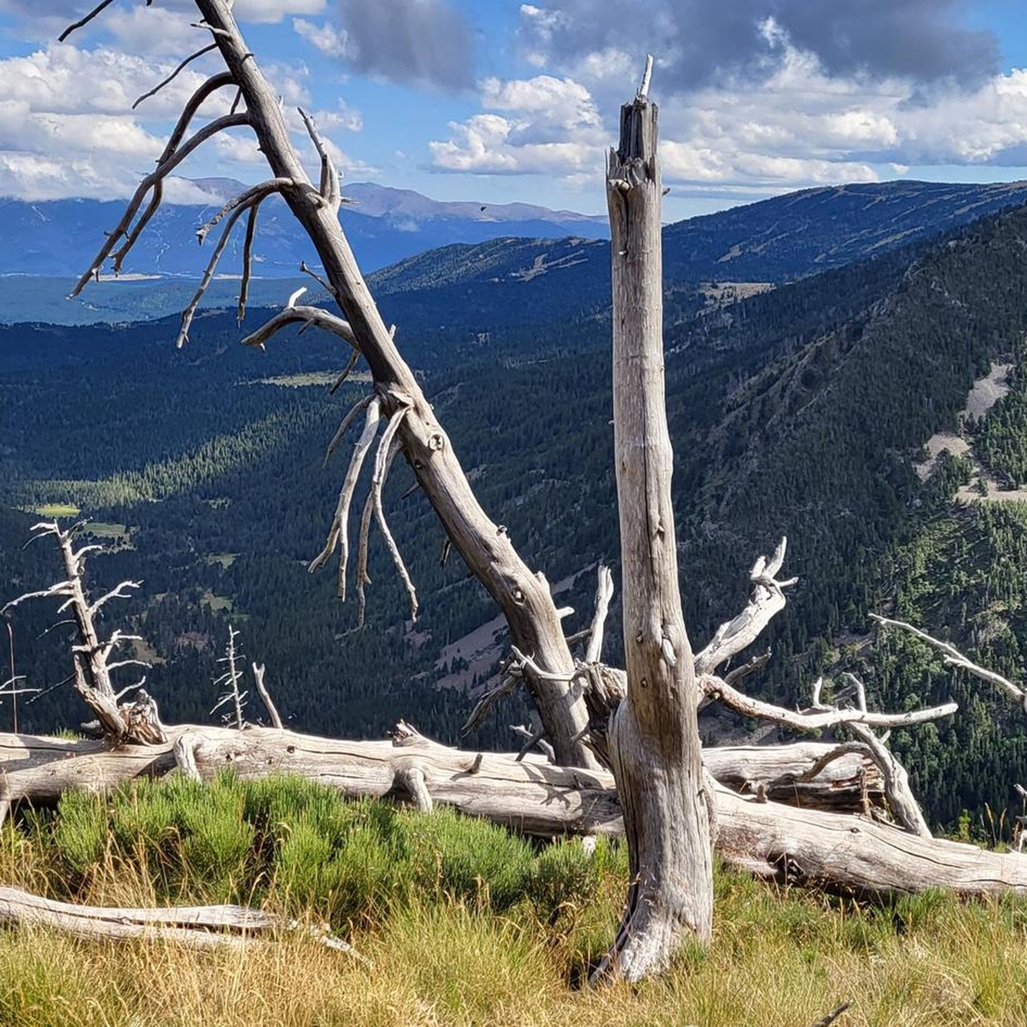
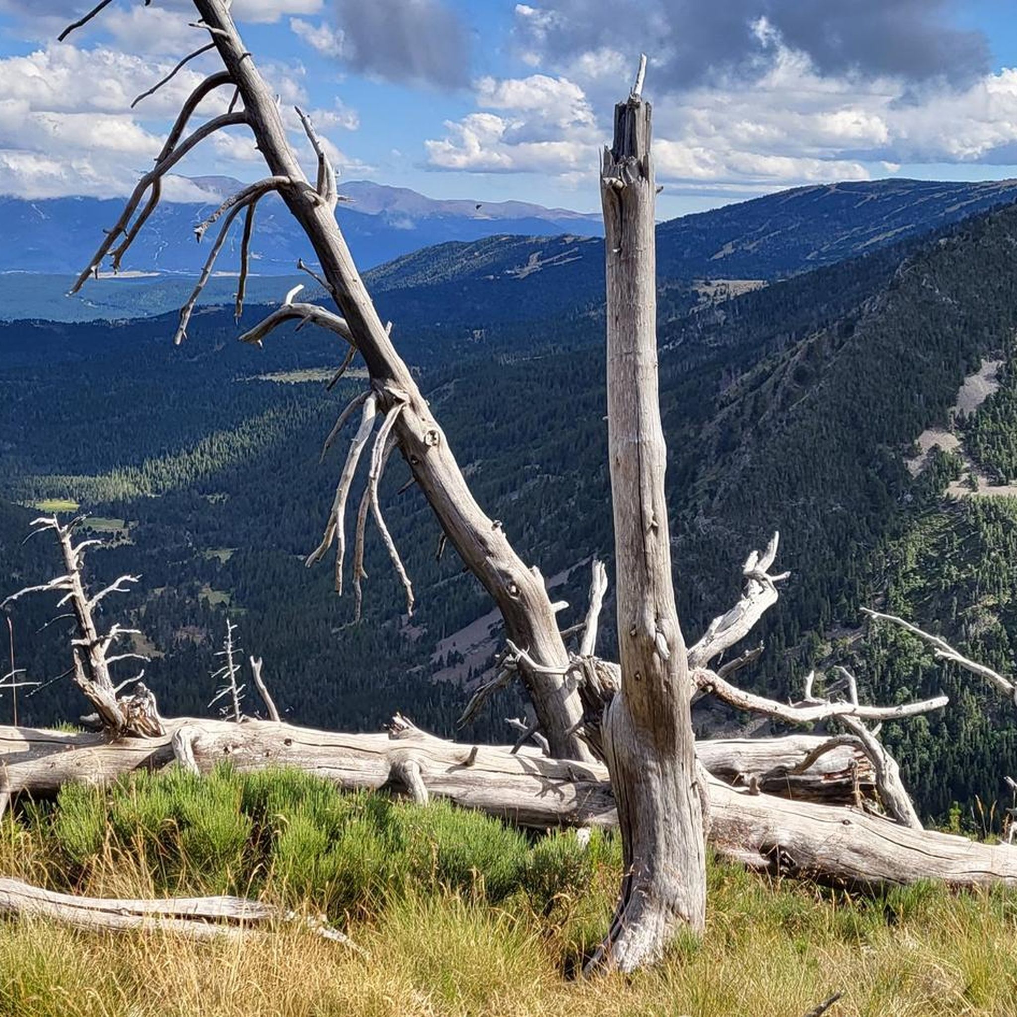
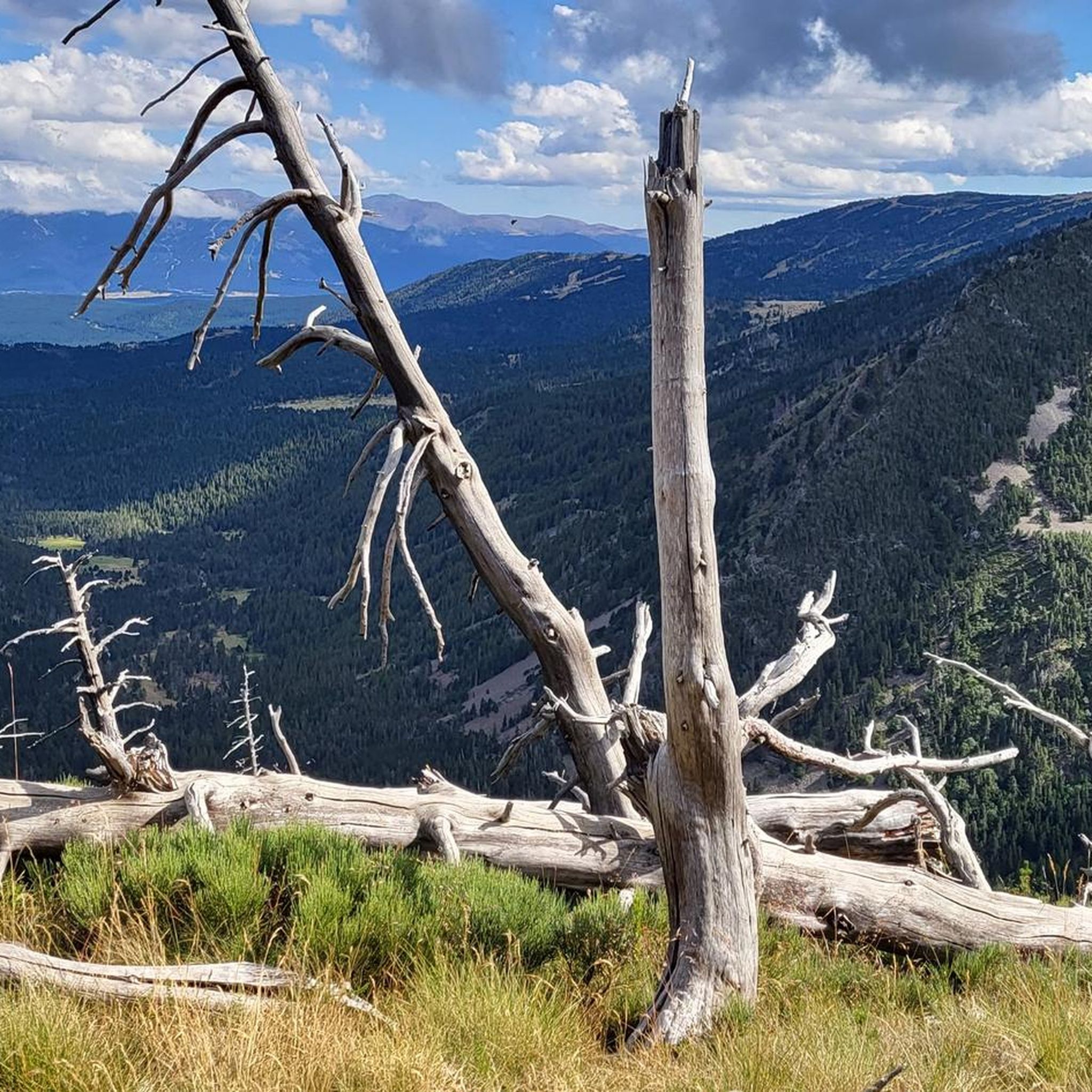
Beautiful spot with a view of the valley and the possibility of taking a framed photo. A second spot a few meters higher is also possible.
0
0
Frequently Asked Questions
What kind of terrain can I expect on running routes around Fontrabiouse?
Jogging routes in Fontrabiouse offer a diverse range of terrain, from challenging mountain passes like the Pailhères Pass (2,001 meters) to more gentle paths around tranquil lakes such as Lake Bouillouses. You'll find trails weaving through the pristine natural landscapes and forests of the Natural Park of the Catalan Pyrenees, providing varied surfaces and elevation changes suitable for different fitness levels.
Are there any easy or beginner-friendly jogging routes in the Fontrabiouse area?
Yes, while many routes feature significant elevation, there are options suitable for beginners. For instance, the Lake Matemale loop from Formiguères is a moderate 7.6-mile (12.3 km) trail with less elevation gain, making it a good choice for those looking for a more accessible run. The area around Lake Bouillouses also offers easier paths.
Can I find circular running routes in Fontrabiouse?
Absolutely. Many of the popular running trails around Fontrabiouse are designed as loops, allowing you to start and finish at the same point. Examples include the challenging Lakes of Camporells – Serra da Mauri (2,412 m) loop from Capcir and the scenic Lake Matemale loop from Formiguères.
What are some notable natural features or landmarks I might see while running in Fontrabiouse?
The region is rich in natural beauty. You can expect to see stunning mountain passes like Pailhères Pass and Col de la Creu, offering panoramic views. Trails often pass by beautiful water features such as Lake Bouillouses and the picturesque Cascade du Galbe. The entire area is within the Natural Park of the Catalan Pyrenees, ensuring a pristine natural backdrop for your run.
Are there any dog-friendly running trails around Fontrabiouse?
Many trails in the Natural Park of the Catalan Pyrenees are generally dog-friendly, but it's always recommended to keep your dog on a leash, especially in protected areas or near livestock. Always check local signage for specific regulations regarding dogs on trails, particularly around nature reserves or sensitive wildlife habitats.
What is the best time of year for trail running in Fontrabiouse?
The warmer months, from late spring to early autumn, are generally ideal for trail running in Fontrabiouse, offering pleasant temperatures and clear paths. During winter, higher elevation routes may be covered in snow and require specialized gear or be inaccessible. Always check local weather conditions and trail status before heading out, especially in the mountains.
How many running routes are available in the Fontrabiouse region?
There are over 175 dedicated running routes around Fontrabiouse listed on komoot, catering to various skill levels. This includes 13 easy routes, 88 moderate routes, and 74 difficult routes, ensuring a wide selection for every runner.
What do other runners say about the trails in Fontrabiouse?
The running trails in Fontrabiouse are highly regarded by the komoot community, with an average rating of 4.6 stars from over 45 reviews. Runners often praise the stunning Pyrenean landscapes, the variety of terrain, and the well-maintained paths that offer both challenging ascents and serene lakeside jogs.
Are there any places to stop for refreshments or find accommodation near the running trails?
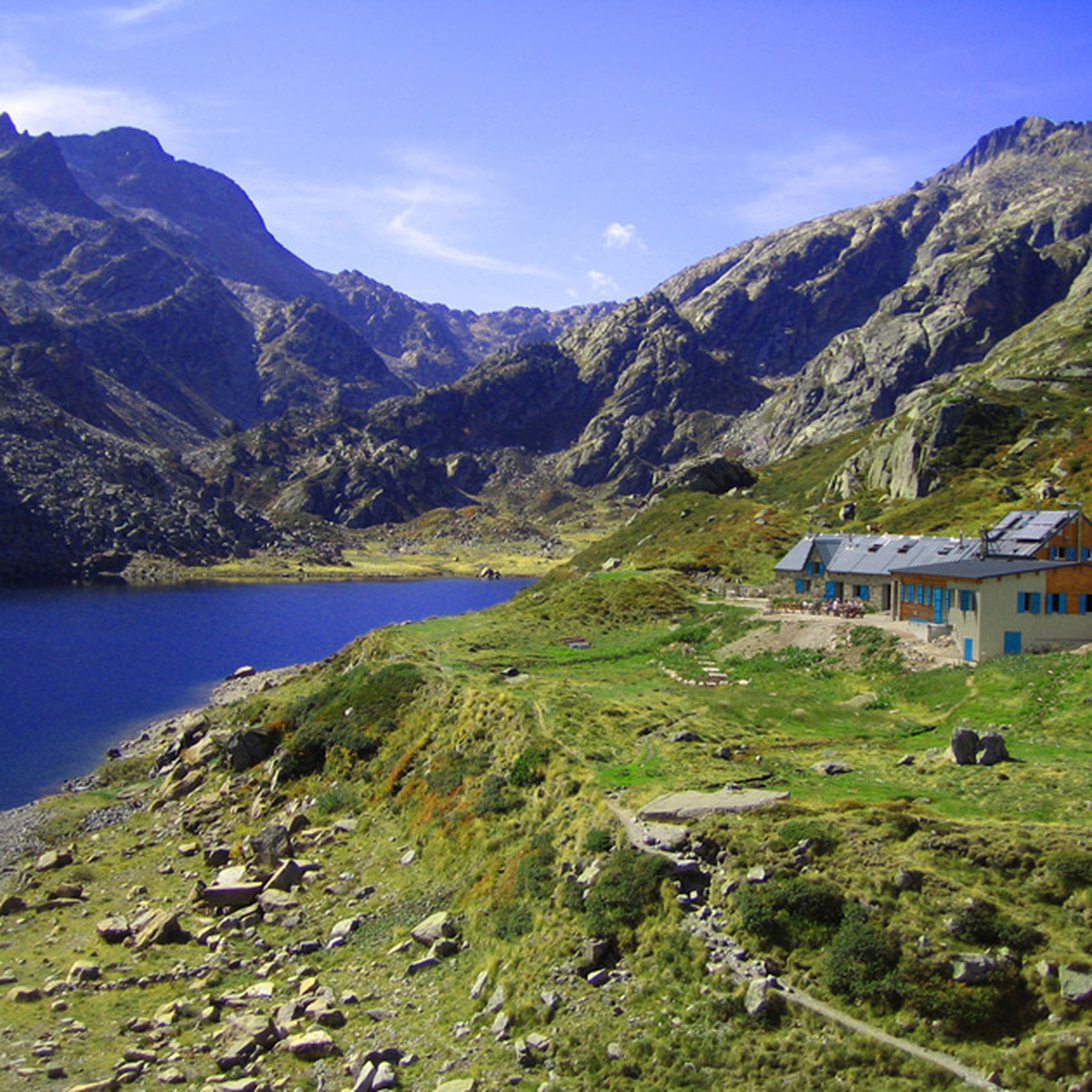
While specific cafes directly on trails are rare, the villages and towns surrounding Fontrabiouse, such as Formiguères, offer various amenities including cafes, restaurants, and accommodation options. Some routes, like those near Lake Bouillouses, might have refuges or huts nearby, such as Bouillouses Refuge or Camporells Refuge, where you might find basic refreshments or shelter.
Are there any family-friendly running paths in the Fontrabiouse area?
Yes, for families looking for a less strenuous experience, the easier routes and paths around Lake Matemale or Lake Bouillouses are excellent choices. These areas often feature flatter terrain and scenic views, making them suitable for a family outing where younger members can also participate or enjoy the surroundings.
What is the most challenging running route in Fontrabiouse?
For experienced runners seeking a significant challenge, the Camporells Refuge – Serra da Mauri (2,412 m) loop from Capcir is a difficult 12.4-mile (20.0 km) path with substantial climbs and panoramic views. Another demanding option is the Ascent to Serra da Mauri – Camporells Refuge loop from Formiguères, which covers 20.5 km with over 900 meters of elevation gain.
How accessible are the trailheads by public transport or car parking?
While specific public transport links directly to all trailheads might be limited in this mountainous region, many popular starting points, especially near villages like Fontrabiouse or Formiguères, offer designated parking areas. It's advisable to check the specific route details on komoot for information on trailhead access and parking availability.
Most popular routes around Fontrabiouse
Most popular attractions around Fontrabiouse

Get inspired with the komoot mobile app


Explore more
Browse the best Running Trails & Routes in other regions.
