The best waterfall hikes and walks in Shropshire Hills Aonb
4.6
(2308)
18,453
hikers
33
hikes
Waterfall hiking trails in Shropshire Hills Aonb traverse a diverse landscape of remote uplands, agricultural lowlands, and wooded scarps. The region is characterized by craggy ridges, expansive moorland plateaus like the Long Mynd, and prominent hills such as The Wrekin. Geological features, including quartzite tors at The Stiperstones, contribute to varied terrain suitable for hiking.
Best waterfall hiking trails in Shropshire Hills Aonb
- The most popular waterfall hiking route is Carding Mill Valley & Lightspout Waterfall loop — The Cotswolds…
Last updated: July 21, 2026
4.8
(203)
1,043
hikers
9.18km
02:44
280m
280m
Embark on The Burway Loop, a moderate hiking route that winds through the picturesque Shropshire Hills. This trail spans 5.7 miles (9.2 km) and involves a climb of 925 feet…
4.9
(62)
645
hikers
6.66km
02:06
270m
270m
Embark on the Carding Mill Valley & Lightspout Waterfall loop, a moderate hike in the Shropshire Hills Area of Outstanding Natural Beauty. This 4.1-mile (6.7 km) route features a sometimes…

Sign up for free
4.8
(31)
109
hikers
Embark on a difficult 11.4-mile (18.4 km) hike through the Shropshire Hills, a journey that typically takes around 5 hours and 33 minutes to complete. This challenging loop features a…
4.8
(9)
87
hikers
3.13km
01:01
150m
150m
This easy hike to Lightspout Hollow waterfall from Carding Mill Valley is a picturesque journey through varied terrain in the Shropshire Hills. The 1.9-mile (3.1 km) route, with an elevation…
4.8
(76)
665
hikers
14.2km
04:10
390m
390m
Moderate hike. Good fitness required. Easily-accessible paths. Suitable for all skill levels.
Get access to more routes and recommendations from other explorers.
Sign up for free
Already have an account?
Our route recommendations are based on thousands of hikes, rides, and runs completed by other people on komoot.
Start today with a free account
Your next adventure awaits.
Login or Signup
Popular around Shropshire Hills Aonb
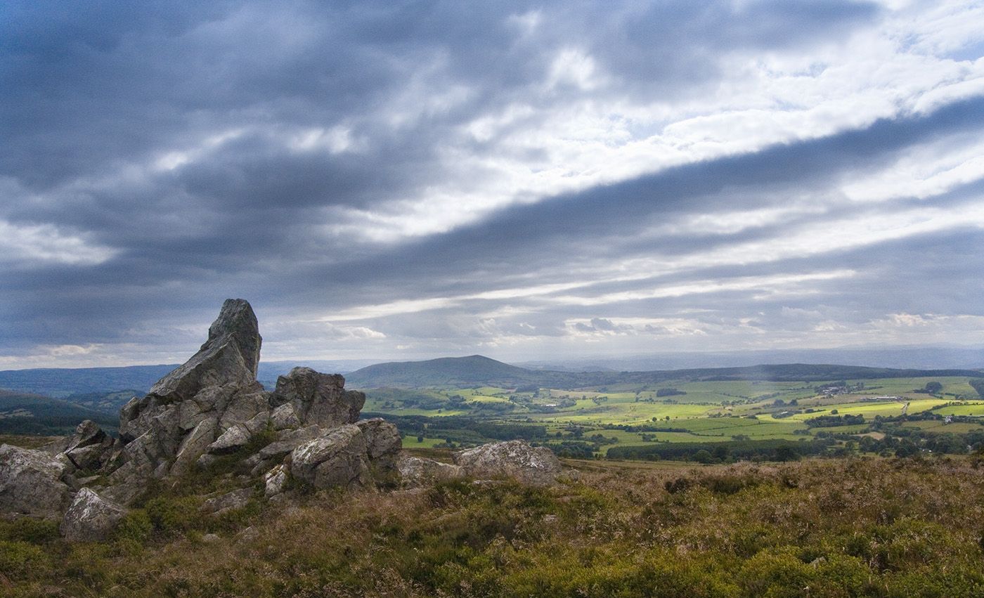
Hike Shropshire's historic hills — Wild Edric's Way
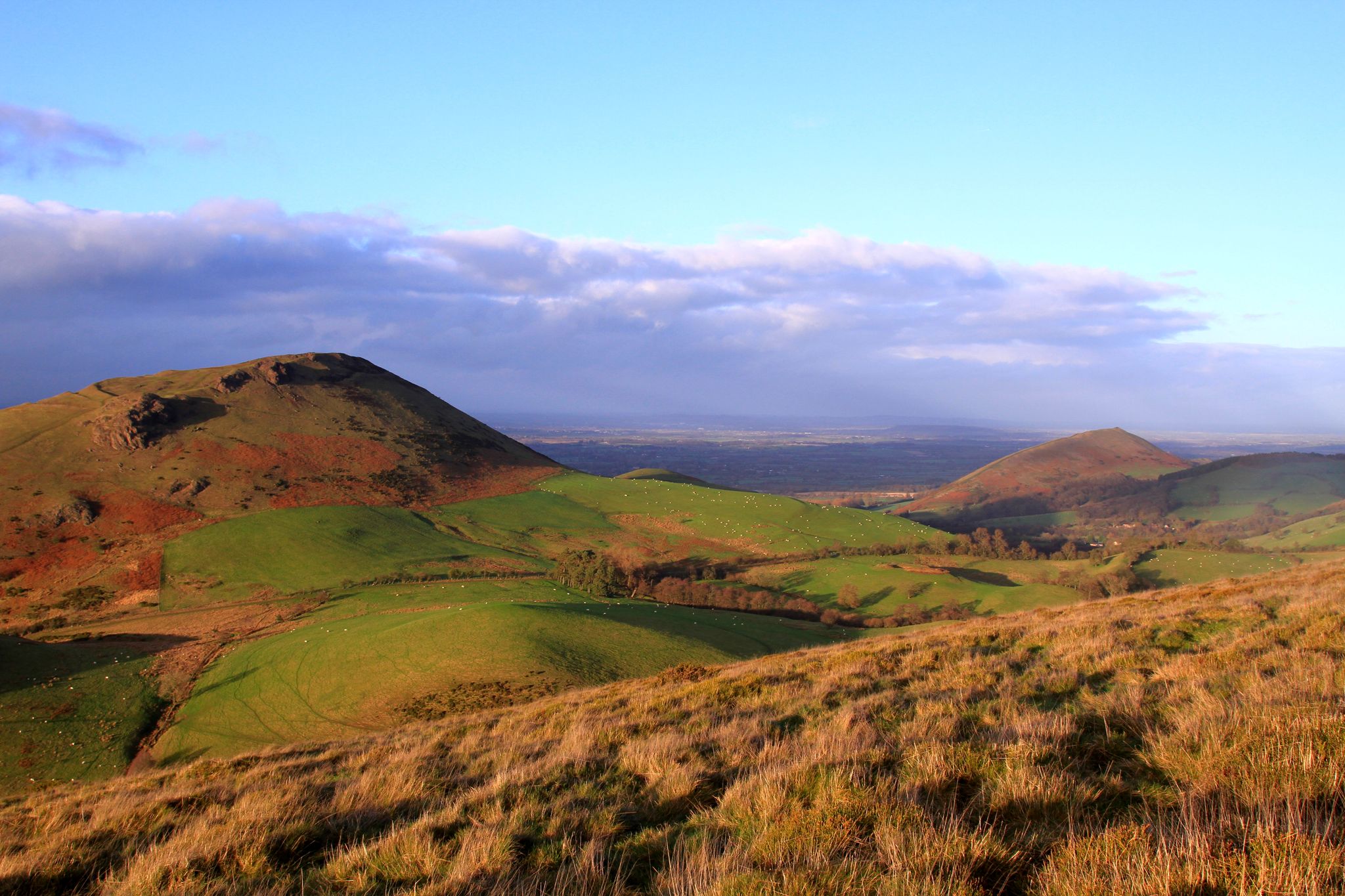
Legends, history and hills — hikes in the Shropshire Hills
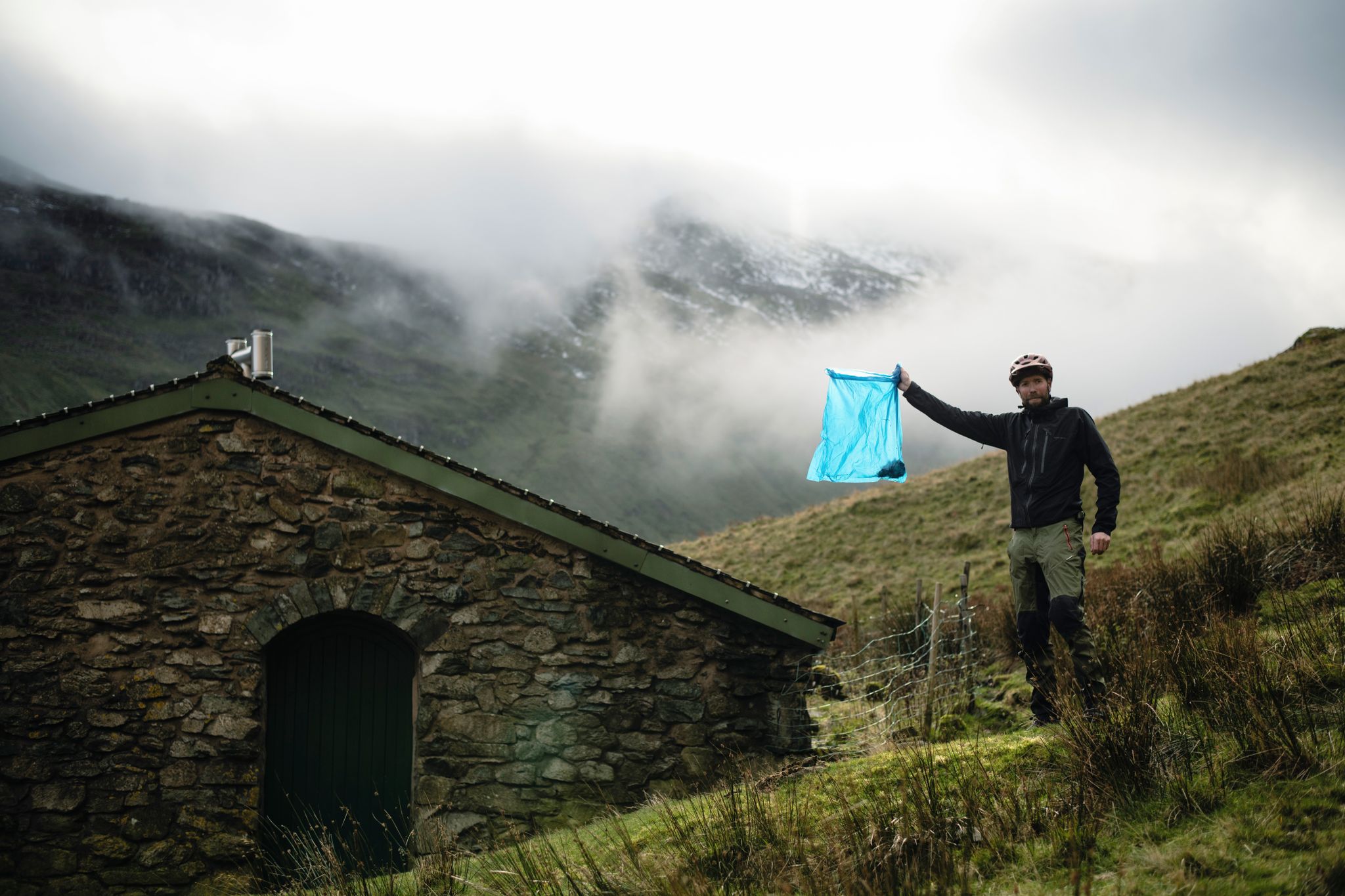
The Trash Free Trails Autumn Litter Watch
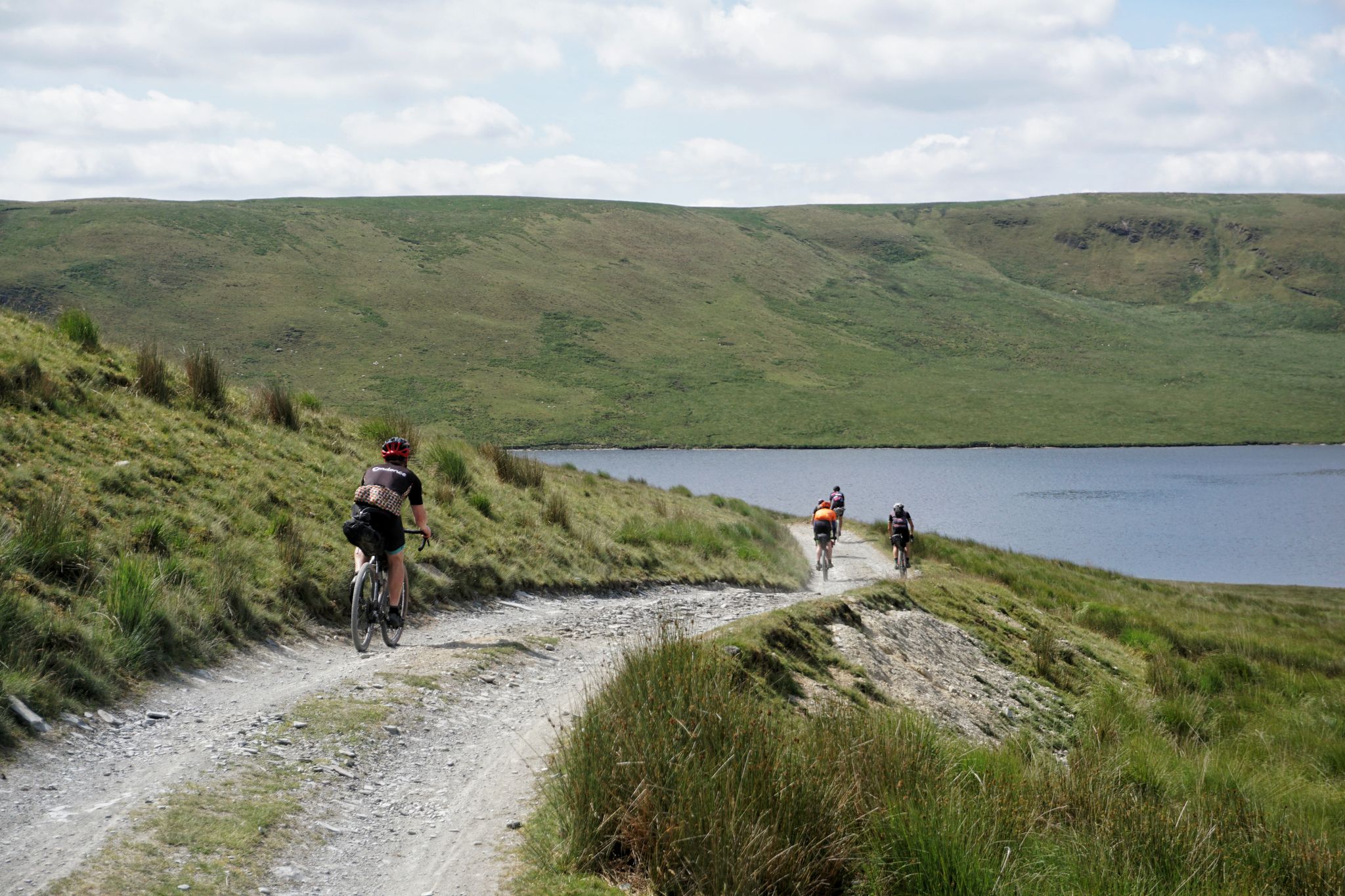
Welsh Border to Irish Sea Bikepacking — Trans Cambrian Way

Shropshire's singletrack secrets — mountain biking on the Welsh border
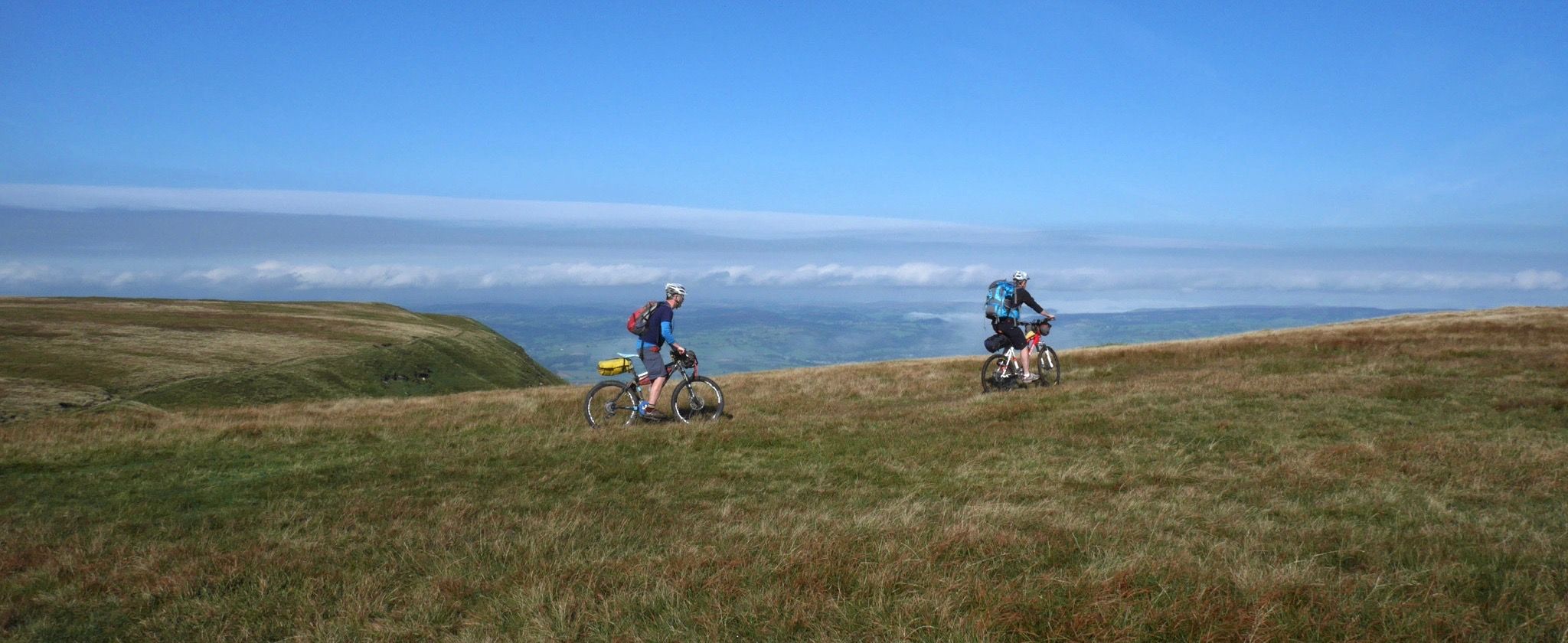
Trans-Wales bikepacking in 4 days
Other adventures in Shropshire Hills Aonb


Tips from the Community

Sturdy footwear recommended, we completed a 4 mile hike, with a couple of steep rock steps to walk up along the way. Other than the steps, the majority of paths are easily accessible. Can get busy when the weather is very good and if you’re lucky, you may get a treat and see the wild horses.
1
0

Rocky path. It is by and large stable so shouldn't cause too much of an issue but some care is required.
2
0

Carding Mill Valley is a stunning valley that runs north-west out of the charming village of Church Stretton. It is the gateway to a plethora of gentle walks, hikes, and bike rides that are available in the Long Mynd area. The Ashbrooke River runs through the centre of this stunning valley, and located in its upper reaches is Lightspout Waterfall. The valley is bordered by the steep but moderate hills of Bodbury Hill and Haddon Hill to the north and Burway Hill and Cow Ridge to the south. There is a National Trust car park, information centre, and cafe at the start of the valley, but get there early, especially on summer weekends and bank holidays, as this is a very popular area.
3
0

Great little cafe with good coffee
0
0

great place for coffee and to meet up
0
0
beautiful views and easy hike
0
0

Great little path leading down into the valley. Can be a little bit muddy in places.
0
0
Frequently Asked Questions
How many waterfall hiking trails are available in the Shropshire Hills National Landscape?
There are over 30 waterfall hiking trails documented in the Shropshire Hills National Landscape on komoot, offering a variety of experiences from easy strolls to more challenging ascents. These routes traverse the region's diverse landscapes, including moorland plateaus and wooded valleys.
Are there any easy waterfall walks suitable for beginners or families?
Yes, there are several easy waterfall walks. A great option is the Lightspout Hollow waterfall from Carding Mill Valley — Shropshire Hills. This shorter, 1.9-mile path leads directly to Lightspout Hollow waterfall, making it less strenuous and ideal for those looking for a gentle introduction to waterfall hiking.
What kind of terrain can I expect on waterfall hikes in the Shropshire Hills?
The terrain on waterfall hikes in the Shropshire Hills National Landscape is varied. You can expect paths through moorland plateaus, wooded valleys, and sometimes craggy ridges. Areas like Carding Mill Valley, which features Lightspout Waterfall, can have scenic but occasionally rocky ascents. The region's geology, including quartzite tors at The Stiperstones, contributes to this diverse landscape.
Are there any circular waterfall routes in the area?
Yes, many waterfall routes in the Shropshire Hills National Landscape are circular. For example, the Carding Mill Valley & Lightspout Waterfall loop — The Cotswolds is a popular moderate circular trail that takes you through the valley and past the waterfall.
What are some notable natural features or landmarks near the waterfall trails?
Many waterfall trails are situated within or near significant natural features. The Lightspout Waterfall, for instance, is located in the popular Carding Mill Valley, which serves as a gateway to the expansive Long Mynd moorland plateau. Other prominent landmarks in the wider region include the dramatic Stiperstones ridge with its distinctive quartzite tors, and The Wrekin, a popular hill offering rewarding woodland walks. You can find the Lightspout Waterfall itself as a highlight.
Can I bring my dog on waterfall hikes in the Shropshire Hills?
The Shropshire Hills National Landscape is generally dog-friendly, with many trails welcoming well-behaved dogs. However, it's always advisable to keep dogs on a lead, especially in areas with livestock or ground-nesting birds, and to check specific route guidelines or local signage for any restrictions. Carding Mill Valley, a popular starting point for waterfall walks, is a National Trust site, so always check their specific dog policies.
What do other hikers enjoy most about the waterfall trails in the Shropshire Hills?
The Shropshire Hills National Landscape is highly rated by the komoot community, with an average score of 4.6 stars from over 2000 reviews. Hikers often praise the diverse landscapes, from tranquil valleys to expansive moorlands, and the rewarding views. The presence of beautiful waterfalls like Lightspout adds a special charm to the routes, making them memorable experiences.
Are there any challenging waterfall hikes for experienced hikers?
Yes, for experienced hikers seeking a challenge, the region offers more demanding routes. The Lightspout Waterfall & Callow Hill loop from Church Stretton — The Cotswolds is a difficult 11.4-mile trail that includes varied terrain and significant elevation gain, typically taking over 5 hours to complete.
What is the best time of year to visit the waterfalls in Shropshire Hills?
The waterfalls in the Shropshire Hills National Landscape are beautiful year-round, but they are often at their most impressive after periods of rain, particularly in autumn and winter, when water flow is higher. Spring brings lush greenery and wildflowers, while summer offers warmer weather for hiking, though the waterfalls might have reduced flow. Always check local weather conditions before your visit.
Are there any historical sites or castles near the waterfall hiking areas?
While the immediate vicinity of the waterfalls is primarily natural, the wider Shropshire Hills National Landscape is rich in history. Notable historical sites include Iron Age hillforts like Caer Caradoc, and impressive castles such as Stokesay Castle and Clun Castle, which are within the AONB or nearby. These can be explored as separate excursions or combined with longer hiking trips.
Where can I find parking for waterfall hikes in the Shropshire Hills?
Many popular starting points for waterfall hikes, such as Carding Mill Valley, offer designated parking facilities. It's advisable to arrive early during peak seasons or weekends as these spots can fill up quickly. Always check for any parking fees or restrictions before your visit.
Most popular routes in Shropshire Hills Aonb
Most popular attractions in Shropshire Hills Aonb

Get inspired with the komoot mobile app


Explore more
Browse the best Hikes in other regions.
