The best waterfall hikes and walks around Schwarzenbach-Talsperre
4.6
(16173)
59,183
hikers
64
hikes
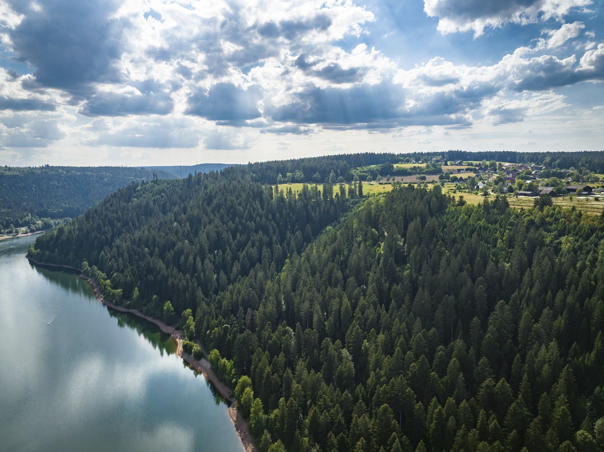
Waterfall hiking trails around Schwarzenbach-Talsperre are characterized by dense forests, deep valleys, and the prominent Schwarzenbach Dam. The region features varied terrain, including paths alongside the reservoir and trails leading to natural cascades. Hikers can expect a landscape shaped by water features and the surrounding Black Forest environment. This area offers a range of routes suitable for exploring its natural beauty.
Best waterfall hiking trails around Schwarzenbach-Talsperre
- The most popular waterfall hiking route is Bermersbach Waterfalls – Bermersbacher Grat Cross…
Last updated: July 9, 2026
4.8
(21)
67
hikers
8.30km
02:41
370m
370m
Moderate hike. Good fitness required. Easily-accessible paths. Suitable for all skill levels.
4.7
(3)
12
hikers
16.9km
05:14
610m
610m
Hard hike. Very good fitness required. Easily-accessible paths. Suitable for all skill levels.

Sign up for free
4.4
(12)
52
hikers
Hard hike. Very good fitness required. Mostly accessible paths. Sure-footedness required.
4.6
(14)
55
hikers
Moderate hike. Good fitness required. Mostly accessible paths. Sure-footedness required.
4.8
(12)
45
hikers
Moderate hike. Good fitness required. Easily-accessible paths. Suitable for all skill levels.
Get access to more routes and recommendations from other explorers.
Sign up for free
Already have an account?
Our route recommendations are based on thousands of hikes, rides, and runs completed by other people on komoot.
Start today with a free account
Your next adventure awaits.
Login or Signup
Popular around Schwarzenbach-Talsperre

Coolcation in the Black Forest – hiking and cooling off in summer
Trekking Schwarzwald 8-day tour from Forbach to Alpirsbach
Trekking Black Forest 7-day tour from Forbach to Biberach
Trekking Schwarzwald 6-day tour from Forbach to Gengenbach
Trekking in the Black Forest 4-day tour to camps Seibelseckle, Grimbach & Schwarzenbach
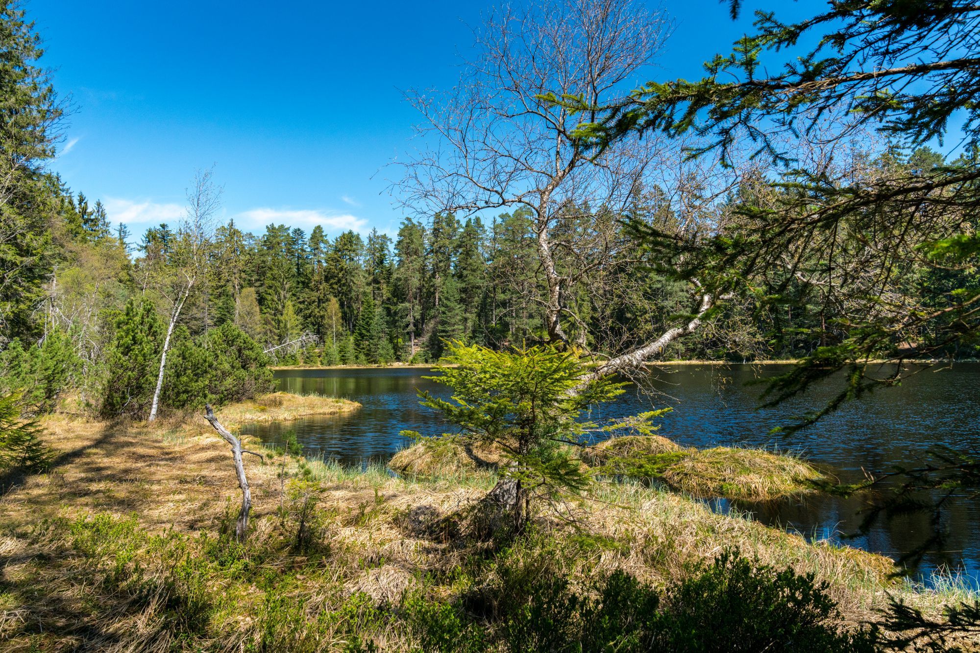
Trekking Schwarzwald 3-day tour to the Camps Grimbach and Schwarzenbach
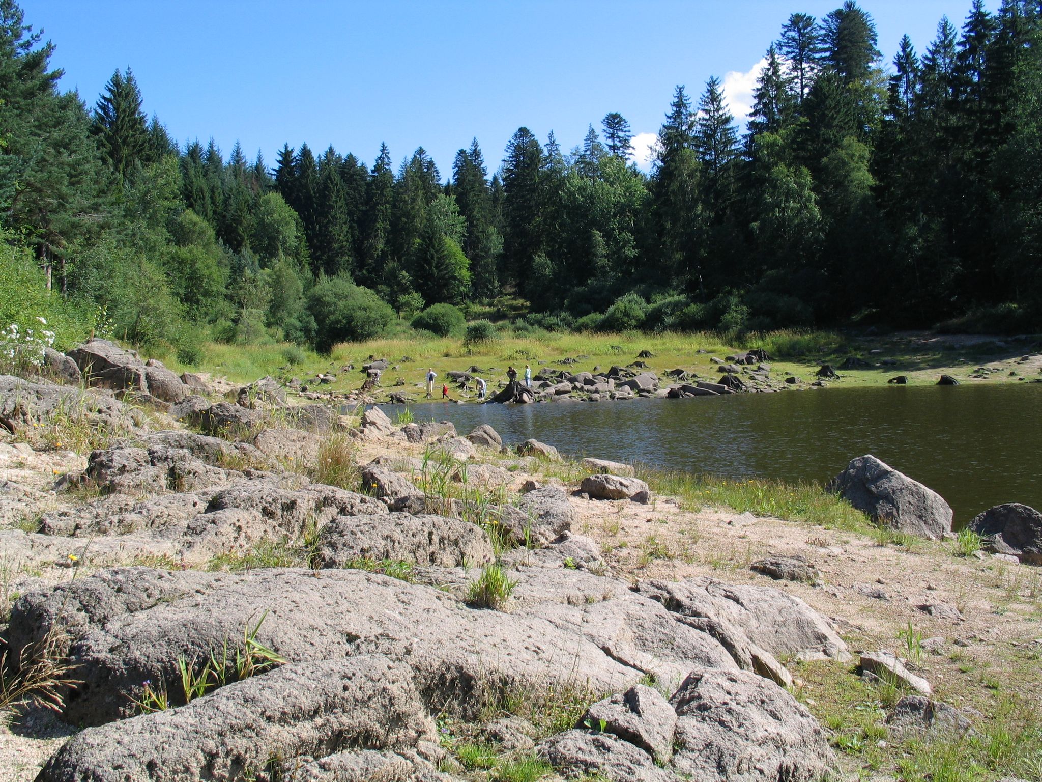
Trekking in the Black Forest - 3-day loop tour to the camps Grimbach and Schwarzenbach
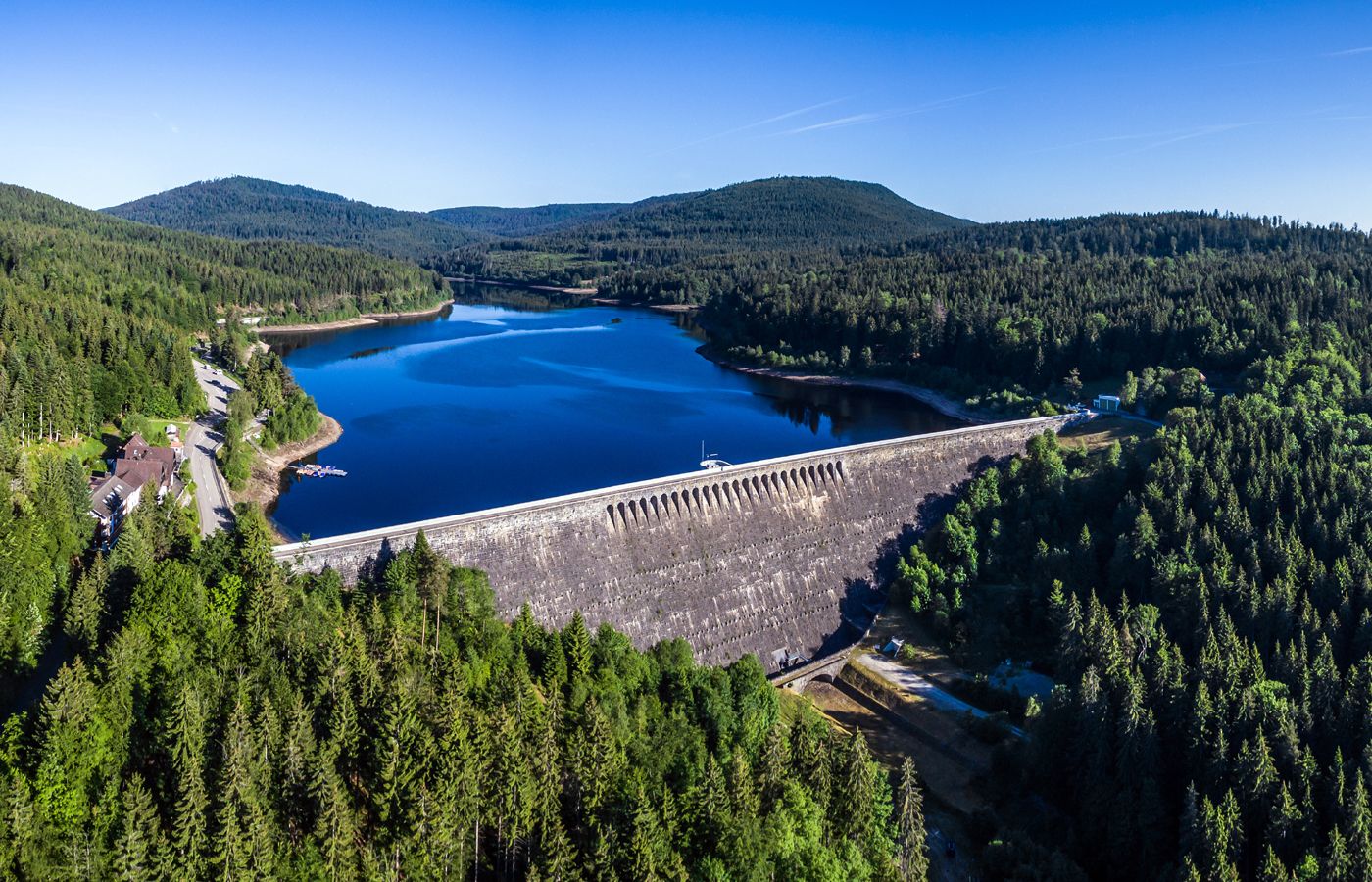
Trekking in the Black Forest, 2-day tour to Camp Schwarzenbach
Other adventures around Schwarzenbach-Talsperre


Tips from the Community

At the end of the Glücksweg you only have to climb about 200 meters and you're there.
0
0

A beautiful trail that requires some light climbing over obstacles. Two trees and several rocks block the way.
0
0
Nice rest stop. Water from the well, not directly from the stream, but from an exposed, unmarked hose. We didn't drink it.
1
0

Beautiful view towards the dam, great place for a perfect photo.
0
0


View of the Schwarzenbach Dam and the Herrenwieser Lake
0
0
Great path from Seekopf to Badener Höhe
2
0

From Bermersbach, a steep climb leads to the hut. From up here, you have a wonderful view down to Bermersbach and the Murg Valley
1
0
Frequently Asked Questions
How many waterfall hiking trails are there around Schwarzenbach-Talsperre?
The Schwarzenbach-Talsperre region offers a diverse network of over 60 waterfall hiking trails. These routes vary in difficulty, providing options for different experience levels, from easy strolls to more challenging treks through the Black Forest landscape.
Are there any easy waterfall hikes suitable for beginners?
Yes, there are a few easier waterfall hikes. While most routes are moderate, you can find options that are less strenuous. For example, the Bermersbach Waterfalls – Bermersbacher Grat Cross loop from Forbach is a moderate 8.3 km trail that offers beautiful waterfall views without extreme difficulty, making it a good choice for those looking for a manageable experience.
What kind of terrain can I expect on waterfall hikes in this area?
The terrain around Schwarzenbach-Talsperre is characterized by dense forests, deep valleys, and paths alongside the prominent Schwarzenbach Dam. Hikers can expect varied surfaces, including forest paths, some with significant elevation changes, leading to natural cascades and scenic viewpoints.
Are there any circular routes that include waterfalls?
Many of the waterfall hikes in the Schwarzenbach-Talsperre area are circular routes, allowing you to start and end at the same point. The Bermersbach Waterfalls – Hay Huts Along the Glücksweg loop from Bermersbach is a great example, offering a moderate 8.3 km loop that takes you past the Bermersbach Waterfalls.
What are some interesting landmarks or attractions near the waterfall trails?
Beyond the waterfalls themselves, the region boasts several notable attractions. You can explore the impressive Schwarzenbach Dam and its reservoir, or visit the At the foot of the dam. There's also the Schwarzenbach Dam Educational Trail for those interested in learning more about the area's history and engineering.
What do other hikers enjoy most about the waterfall trails around Schwarzenbach-Talsperre?
The komoot community highly rates the trails around Schwarzenbach-Talsperre, with an average score of 4.5 stars from over 6,800 reviews. Hikers frequently praise the diverse landscape, the beauty of the natural cascades, and the well-maintained paths that offer a rewarding experience in the Black Forest.
Is Schwarzenbach-Talsperre suitable for family-friendly waterfall hikes?
While many trails involve moderate difficulty, there are options that families can enjoy. Look for shorter, less steep routes if hiking with younger children. The presence of the dam and various viewpoints also offers engaging stops for all ages.
Can I bring my dog on the waterfall hiking trails?
Generally, dogs are welcome on hiking trails in the Schwarzenbach-Talsperre area. However, it's always advisable to keep your dog on a leash, especially near wildlife, other hikers, or on narrower paths. Be sure to check specific trail regulations for any restrictions.
What is the best time of year to visit the waterfalls?
The waterfalls are particularly impressive after periods of heavy rain or during the spring thaw when water levels are high. While beautiful year-round, spring and autumn offer vibrant foliage and comfortable hiking temperatures. Winter can also be magical with frozen cascades, but trails may be icy.
Are there options for longer, more challenging waterfall hikes?
Yes, for experienced hikers seeking a challenge, there are several difficult routes. The Wegscheid Hut – Schwarzenbach Dam loop from Forbach is a difficult 16.8 km path with significant elevation changes, offering a strenuous but rewarding experience exploring the dam area and surrounding forests.
Is there public transport access to the waterfall hiking areas?
Public transport options to the Schwarzenbach-Talsperre region exist, though they may require some planning. It's recommended to check local bus schedules to nearby towns like Forbach, from where many trails originate. Some routes might be more easily accessible by car.
Where can I find parking for the waterfall trails?
Parking is generally available at key trailheads and popular starting points around the Schwarzenbach-Talsperre, especially near the dam itself and in towns like Forbach. Look for designated parking areas, which may sometimes have a small fee.
Most popular routes around Schwarzenbach-Talsperre
Most popular attractions around Schwarzenbach-Talsperre

Get inspired with the komoot mobile app


Explore more
Browse the best Hikes in other regions.
