The best waterfall hikes and walks around Parco Nazionale della Majella
4.5
(3532)
17,166
hikers
14
hikes
Waterfall hiking trails around Parco Nazionale della Majella traverse a diverse landscape characterized by high-altitude mountains, deep canyons, and extensive forests within the Abruzzo Apennines. The region features significant karst topography, leading to the formation of numerous caves and dramatic limestone cliffs. Hikers can explore varied ecosystems, from dense beech woodlands to alpine meadows, with elevations often exceeding 2,000 meters.
Best waterfall hiking trails around Parco Nazionale della Majella
- The most popular waterfall hiking route is San Giovanni Waterfall –…
Last updated: September 29, 2026
4.6
(93)
371
hikers
7.68km
03:00
500m
500m
Moderate hike. Good fitness required. Mostly accessible paths. Sure-footedness required.
4.7
(62)
271
hikers
Moderate hike. Good fitness required. Mostly accessible paths. Sure-footedness required.

4.7
(35)
104
hikers
4.80km
01:29
180m
180m
Easy hike. Great for any fitness level. Easily-accessible paths. Suitable for all skill levels.
4.6
(35)
231
hikers
7.24km
02:40
450m
450m
Moderate hike. Good fitness required. Mostly accessible paths. Sure-footedness required.
5.0
(2)
5
hikers
Easy hike. Great for any fitness level. Easily-accessible paths. Suitable for all skill levels.
Get access to more routes and recommendations from other explorers.
Already have an account?
Our route recommendations are based on thousands of hikes, rides, and runs completed by other people on komoot.
Start today with a free account
Your next adventure awaits.
Popular around Parco Nazionale della Majella
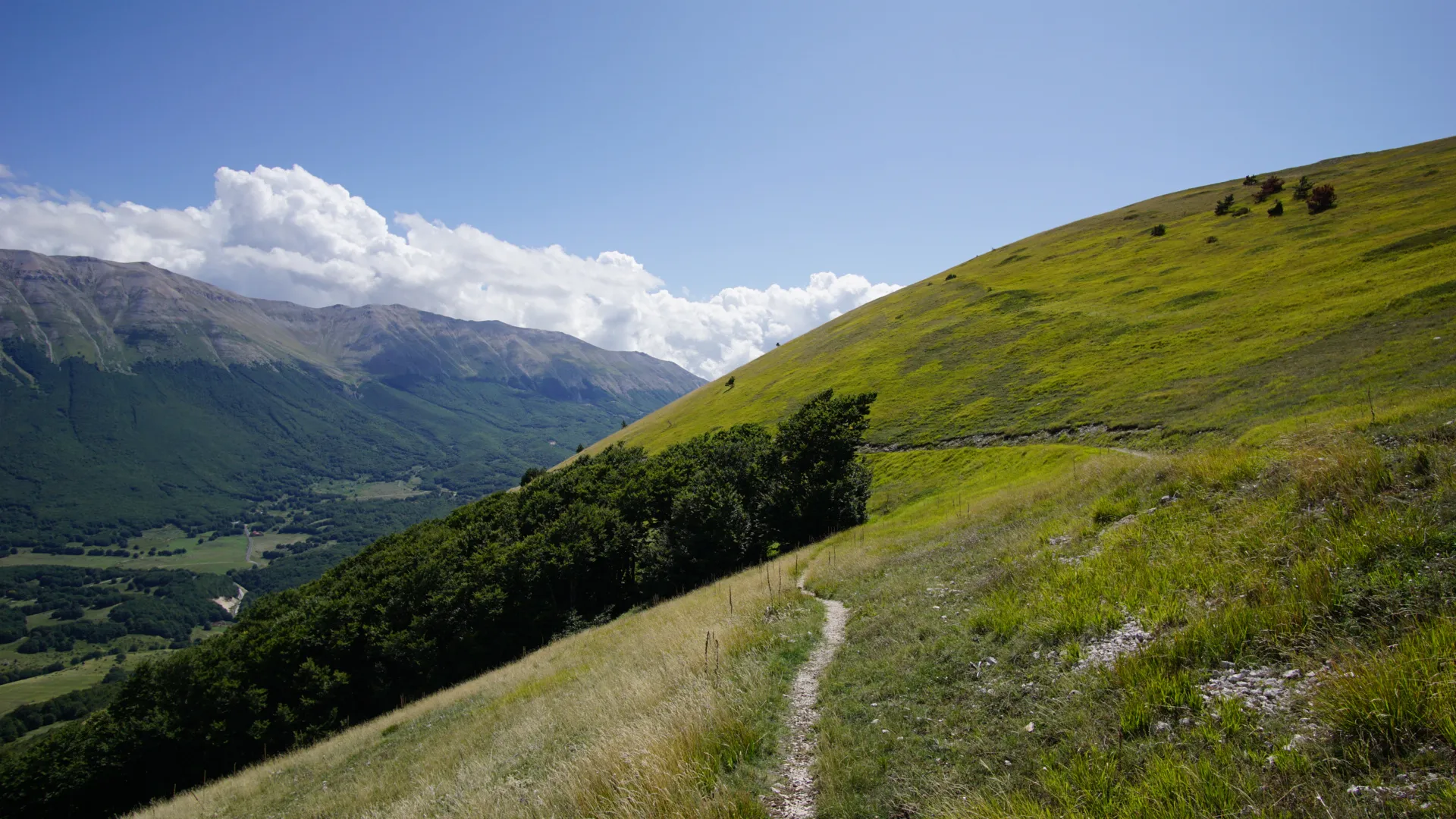
Exploring Italy’s Majella – Cammino di Celestino
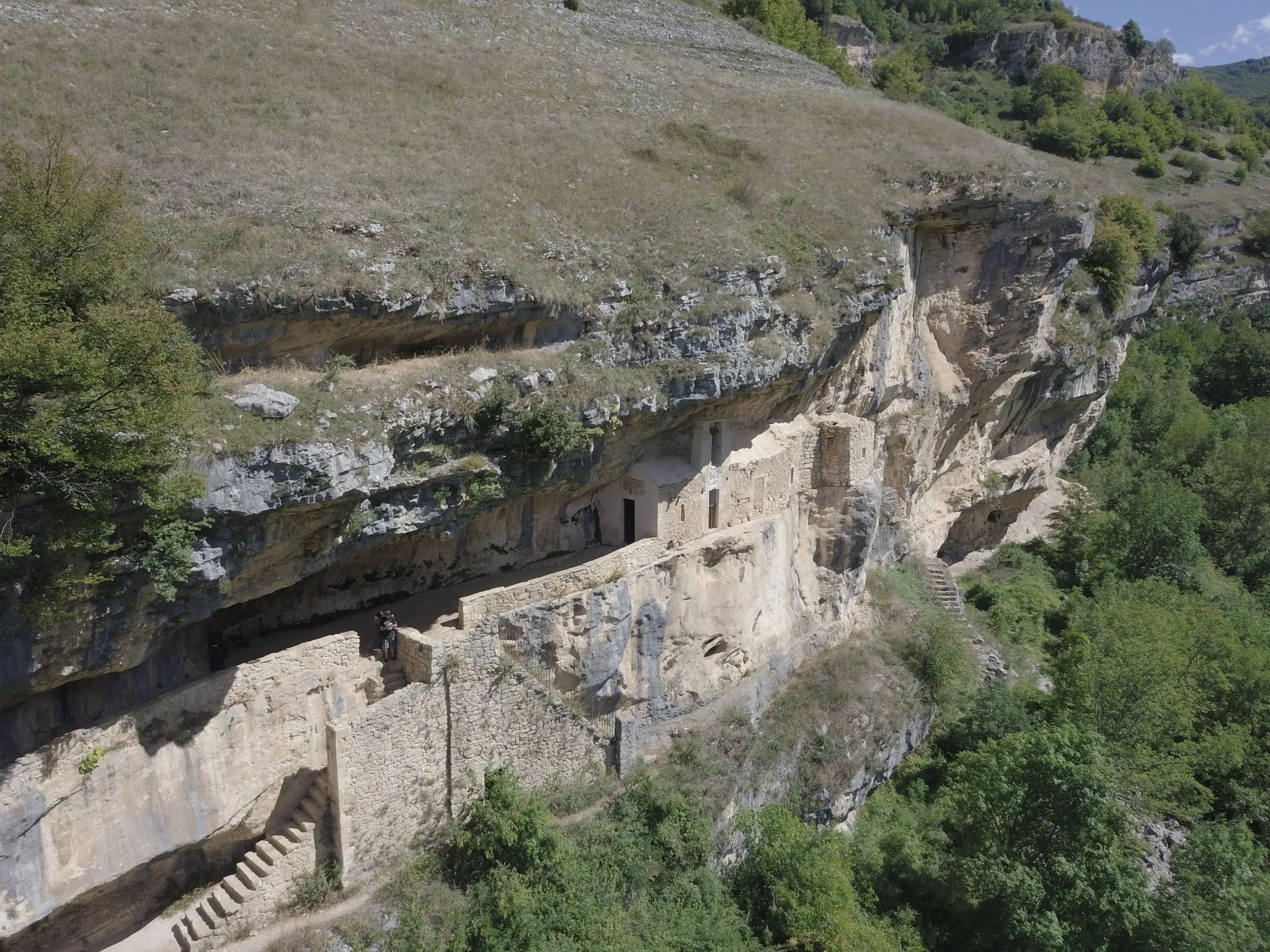
Hike Italy’s Majella National Park – Sentiero dello Spirito
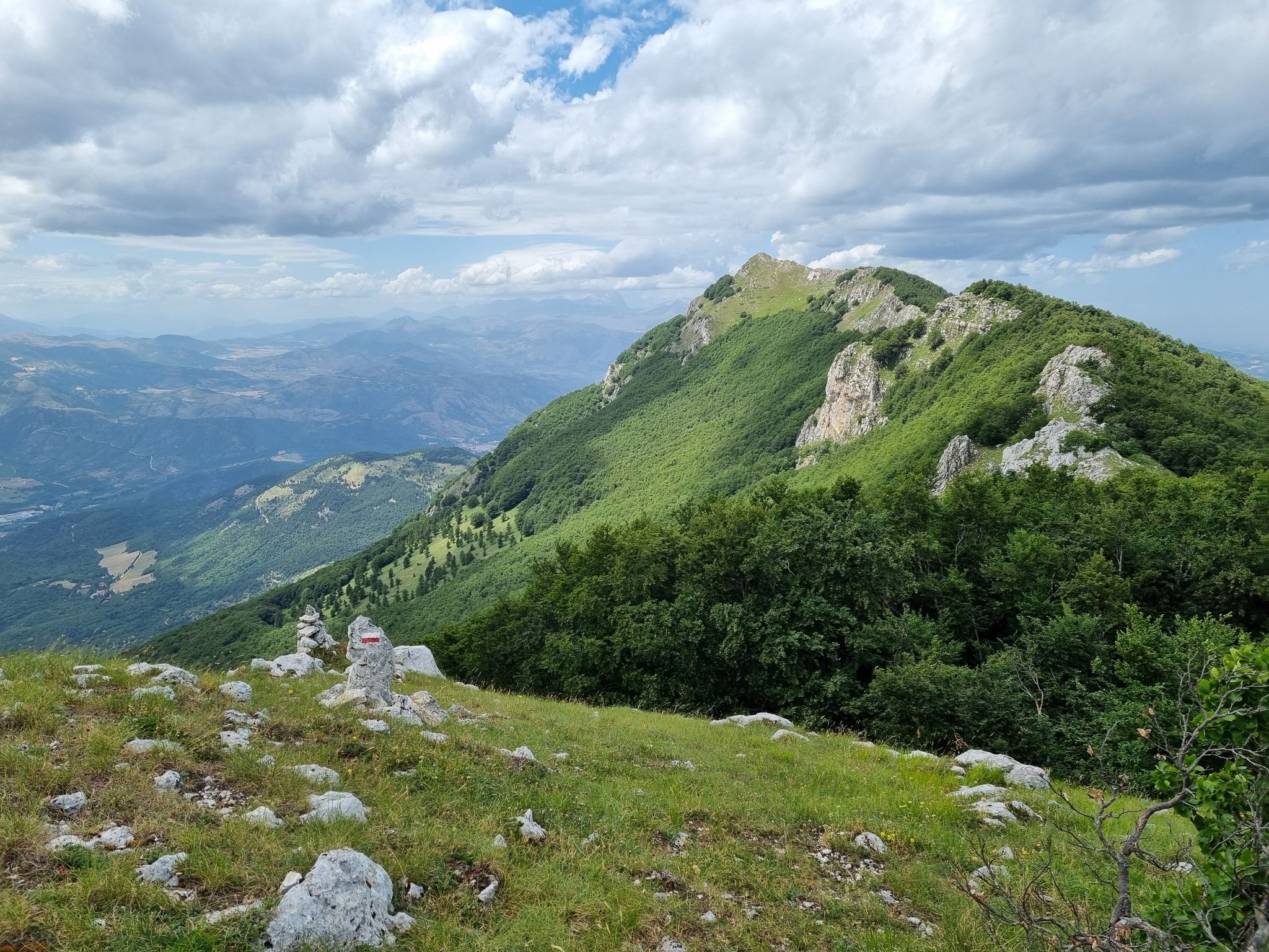
Through the green lungs of Abruzzo – Sentiero Italia
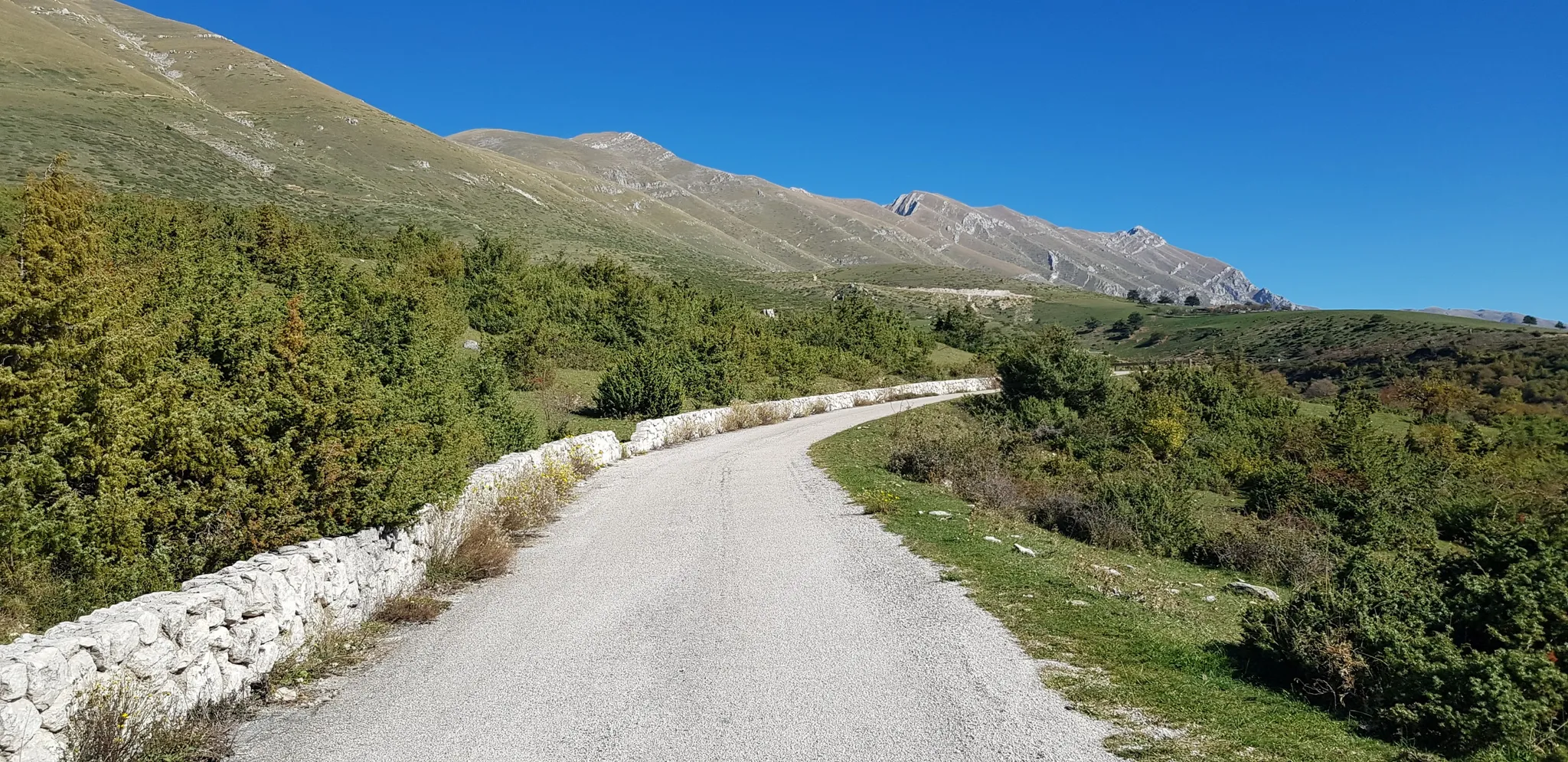
The Apennine Cycleway (Part 2) - From Umbria to Calabria
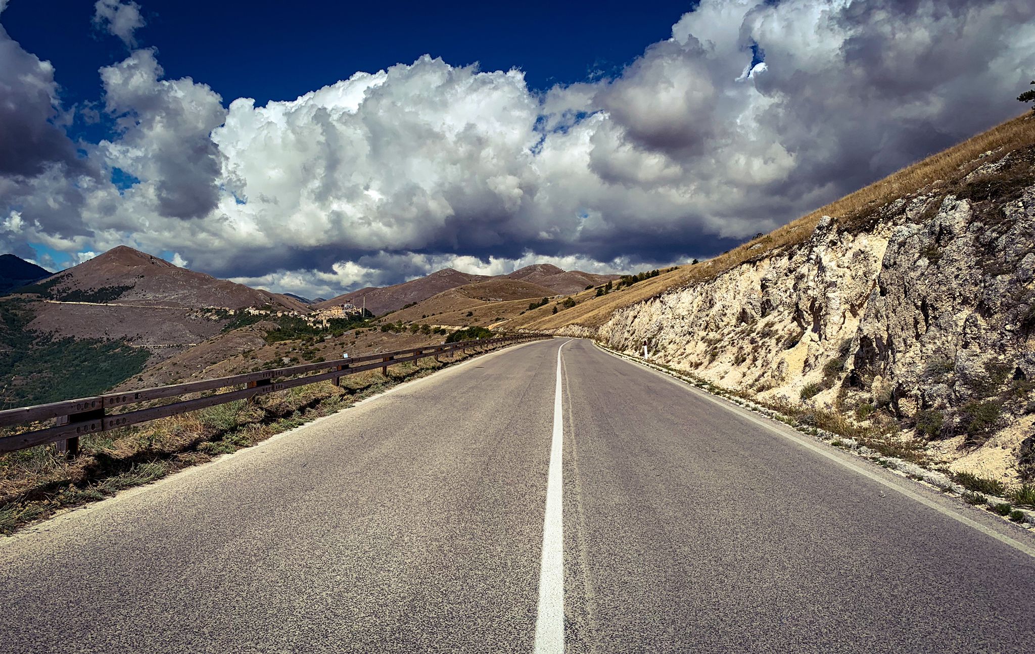
The Apennines to the Adriatic – cycling to discover Abruzzo
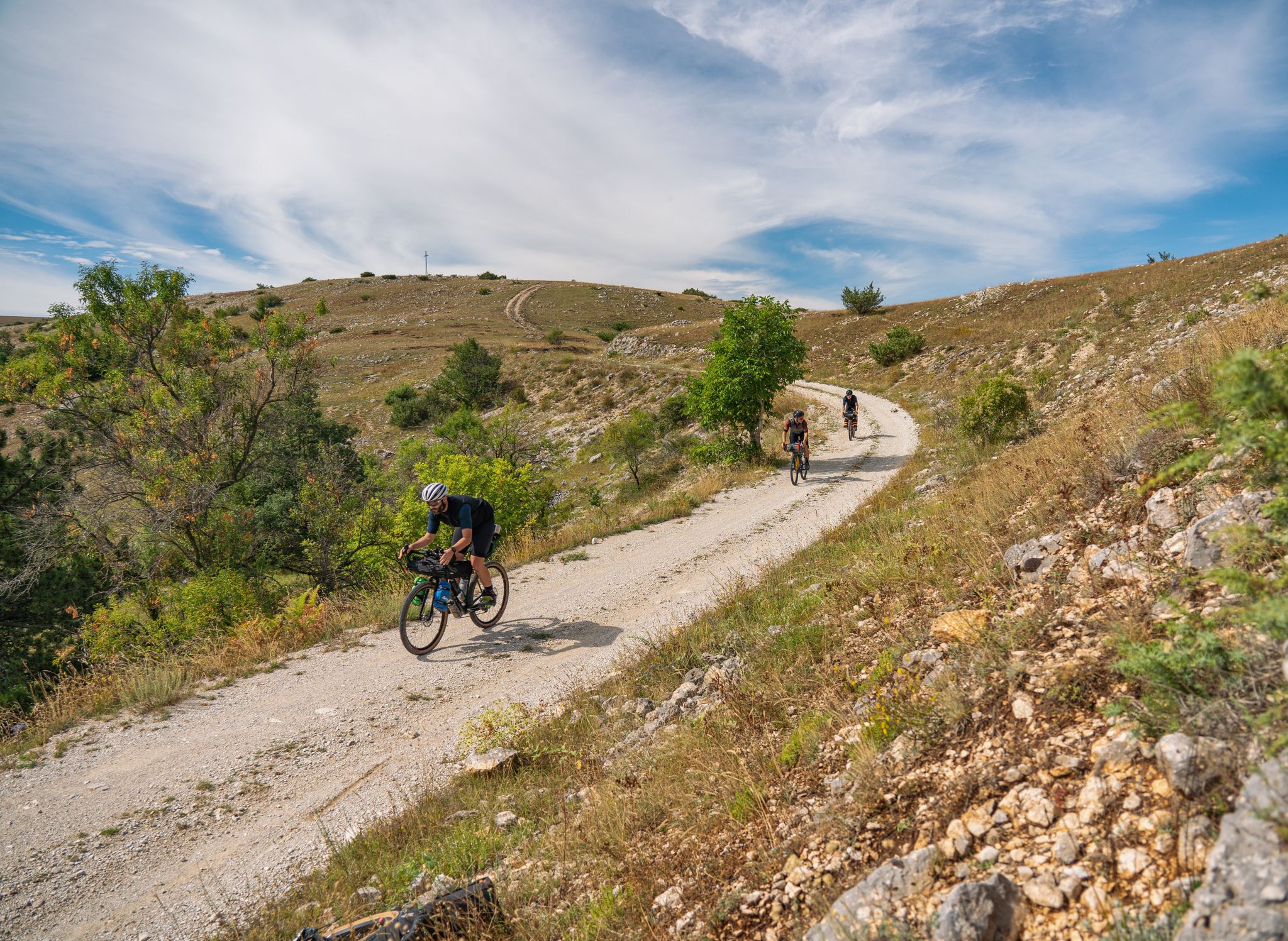
Following in the Footsteps of a Wolf – A Bikepacking Adventure
Other adventures around Parco Nazionale della Majella


Tips from the Community

A full immersion in the wild Vesola Valley. The trail ascends through centuries-old beech trees, yew trees, and holly, offering spectacular views of the San Giovanni Waterfall, one of the highest in the Maiella. Keep your eyes peeled: squirrels leap among the branches, and near the water you might spot the rare spectacled salamander or the small carnivorous plant, the Pinguicola. The grand finale? The view from the Civita Plain, where your gaze sweeps from the woods to the Adriatic Sea. ⚠️ Technical note: Short steep sections uphill and downhill require a minimum of caution.
0
0

The tower overlooks the valley through which the Alento River flows. Half intact (and the other half collapsed), it's certainly a landmark for a beautiful hike and a view that sweeps across these lands.
0
0

Just read who Bafile was and understand how this is a place full of meaning, history, a place that excites
0
0


The hike is tough at times but the forest offers many emotions!
0
0

the place is magnificent and if you remain silent, you can hear the river flowing through the valley.
0
0

Frequently Asked Questions
How many waterfall hiking trails are available in Parco Nazionale della Majella?
There are 14 waterfall hiking trails in Parco Nazionale della Majella, offering a variety of options for different skill levels. These trails are highly rated by the komoot community, with an average score of 4.6 stars from over 2300 reviews.
Are there any easy waterfall hikes suitable for beginners or families?
Yes, Parco Nazionale della Majella offers 3 easy waterfall hikes. A great option for a more relaxed experience is the Torre di Polegra – Alento River Waterfalls loop from Serramonacesca, which is about 4.8 km long and typically takes around 1 hour 30 minutes to complete.
What is the best time of year to visit the waterfalls in Parco Nazionale della Majella?
The best time to visit the waterfalls in Parco Nazionale della Majella is generally during spring (April to June) when snowmelt increases water flow, making the waterfalls particularly impressive. Autumn (September to October) also offers beautiful scenery with vibrant foliage, though water levels might be lower. Summers are pleasant for hiking, but some smaller waterfalls might have reduced flow.
What kind of landscapes can I expect to see on waterfall hikes in this region?
Waterfall hikes in Parco Nazionale della Majella traverse a diverse landscape. You'll encounter dense woodlands, extensive beech forests, and dramatic limestone cliffs. The region's karstic nature also means you might discover caves and unique rock formations alongside the flowing water.
Are there any challenging waterfall hikes for experienced hikers?
Yes, for experienced hikers seeking a challenge, there are 4 difficult waterfall trails. One such route is the View of Majella Mountain – Majelletta Picnic Area loop from Pennapiedimonte, which spans 17.5 km and involves significant elevation changes, typically taking around 7 hours to complete.
What interesting landmarks or attractions can I find near the waterfall trails?
Beyond the waterfalls, the region is rich in natural and historical attractions. You can explore ancient hermitages carved into the rock, such as Santo Spirito in Majella, or discover traditional dry stone huts known as 'tholos'. Some trails might lead you past notable summits like Cima Mammarosa or offer views of various mountain refuges like Bruno Pomilio Mountain Hut.
Are there any circular waterfall routes available?
Yes, many of the waterfall trails in Parco Nazionale della Majella are designed as circular routes, allowing you to start and end at the same point. An example is the San Giovanni Waterfall – San Giovanni Waterfalls loop from Comino, a moderate 7.1 km hike.
What do other hikers enjoy most about the waterfall trails in Parco Nazionale della Majella?
The waterfall trails in Parco Nazionale della Majella are highly rated by the komoot community, with an average score of 4.6 stars. Hikers often praise the stunning natural beauty, the variety of landscapes from dense forests to dramatic cliffs, and the opportunity to discover hidden gems like rock arches and ancient structures.
Are there any picnic areas or places to rest along the waterfall routes?
Yes, some routes incorporate designated picnic areas. For instance, the Dea Maja Rock Arch (Cimirocco) – Majelletta Picnic Area loop from Pennapiedimonte specifically leads to a picnic area, providing a perfect spot to relax and enjoy the surroundings.
What should I wear for a waterfall hike in Parco Nazionale della Majella?
Given the varied terrain and potential for changing weather, it's advisable to wear sturdy hiking boots with good grip, as trails can be wet or uneven. Layered clothing is recommended to adapt to temperature changes, and a waterproof jacket is always a good idea, especially near waterfalls or in higher altitudes.
Can I find any unique geological features on these trails?
Absolutely. Parco Nazionale della Majella is known for its significant karst topography. Beyond the waterfalls, you might encounter impressive rock arches, deep canyons carved by rivers like the Orta and Orfento, and numerous caves, showcasing the park's geological importance as a UNESCO Global Geopark.
Most popular routes around Parco Nazionale della Majella
Most popular attractions around Parco Nazionale della Majella

Get inspired with the komoot mobile app


Explore more
Browse the best Hikes in other regions.
