The best mountain hikes around Valstagna
5.0
(1)
25
hikers
6
hikes
Mountaineering routes around Valstagna traverse the rugged pre-Alpine landscape of the Veneto region, characterized by steep valleys, forested slopes, and prominent peaks. The area is shaped by the Brenta River, which carves through the valley, offering a mix of challenging ascents and scenic traverses. This terrain provides varied opportunities for mountaineers, from demanding climbs to routes exploring high-altitude plateaus.
Best mountaineering routes around Valstagna
- The most popular mountaineering route is Monte Grappa – Val delle Mure loop from Albergo Forcelletto…
Last updated: July 8, 2026
7
hikers
13.6km
04:17
480m
480m
Hard mountaineering route. Good fitness required. Sure-footedness, sturdy shoes and alpine experience required.
4
hikers
Moderate mountaineering route. Good fitness required. Mostly accessible paths. Sure-footedness required.

Sign up for free
5.0
(1)
6
hikers
5.35km
04:21
800m
800m
Hard mountaineering route. Good fitness required. Sure-footedness, sturdy shoes and alpine experience required.
1
hikers
7.55km
02:19
260m
260m
Moderate mountaineering route. Good fitness required. Easily-accessible paths. Suitable for all skill levels.
3
hikers
6.93km
04:25
770m
780m
Hard mountaineering route. Good fitness required. Sure-footedness, sturdy shoes and alpine experience required.
Our route recommendations are based on thousands of hikes, rides, and runs completed by other people on komoot.
Start today with a free account
Your next adventure awaits.
Login or Signup
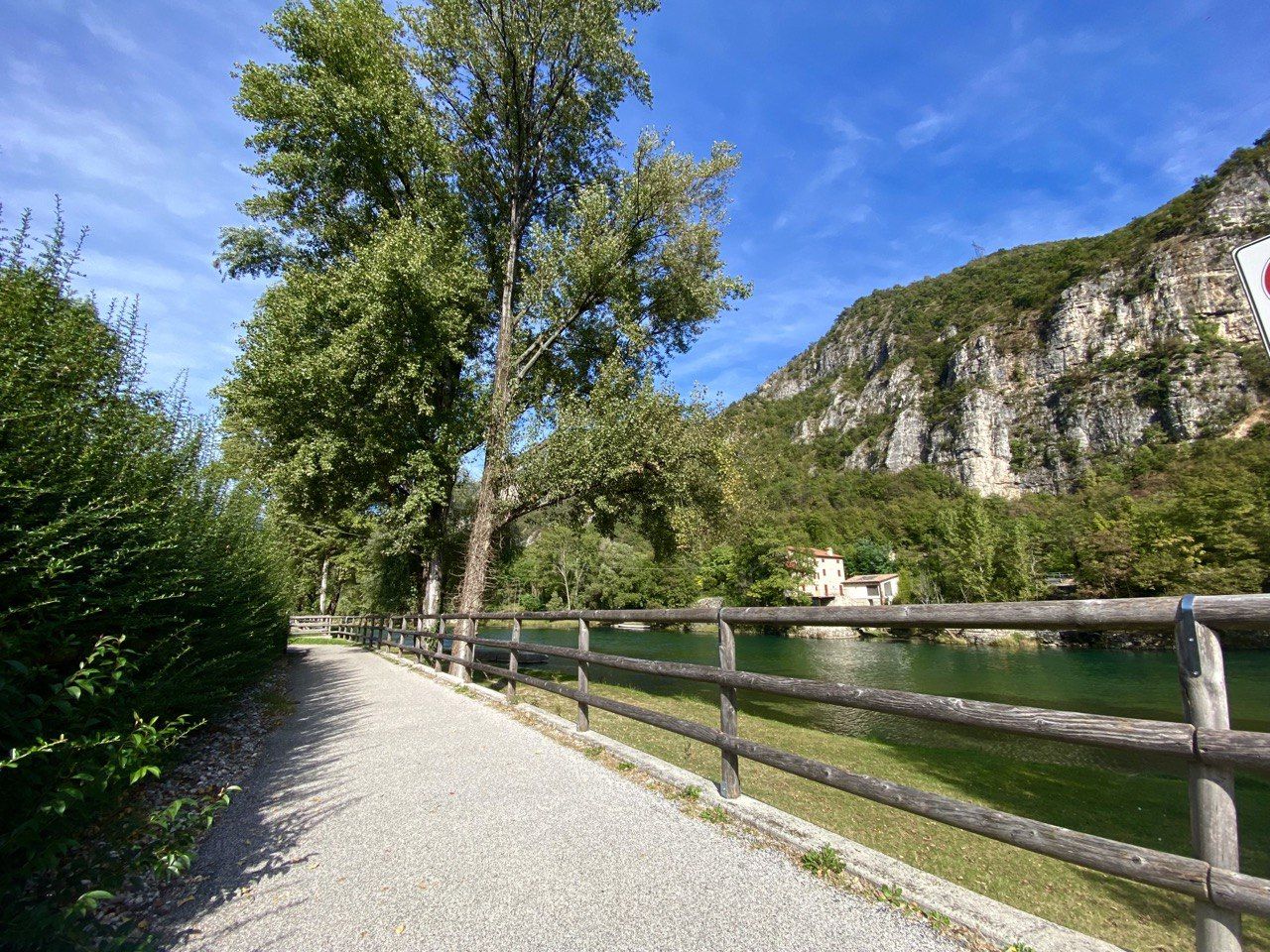
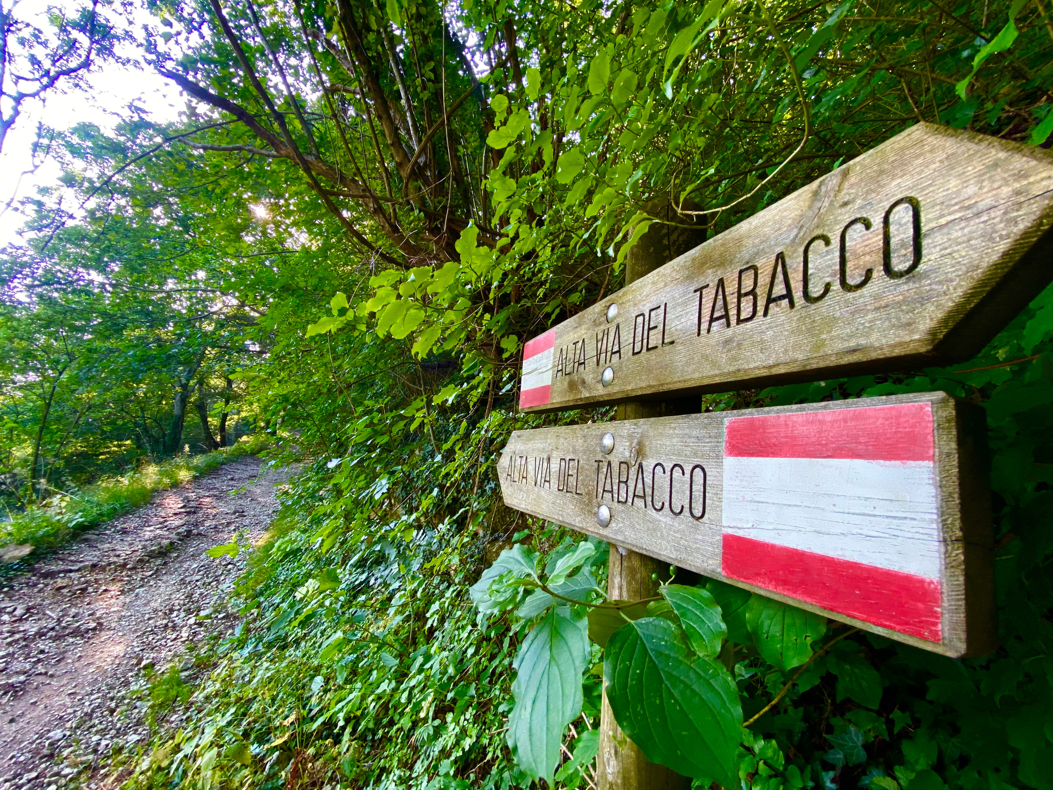
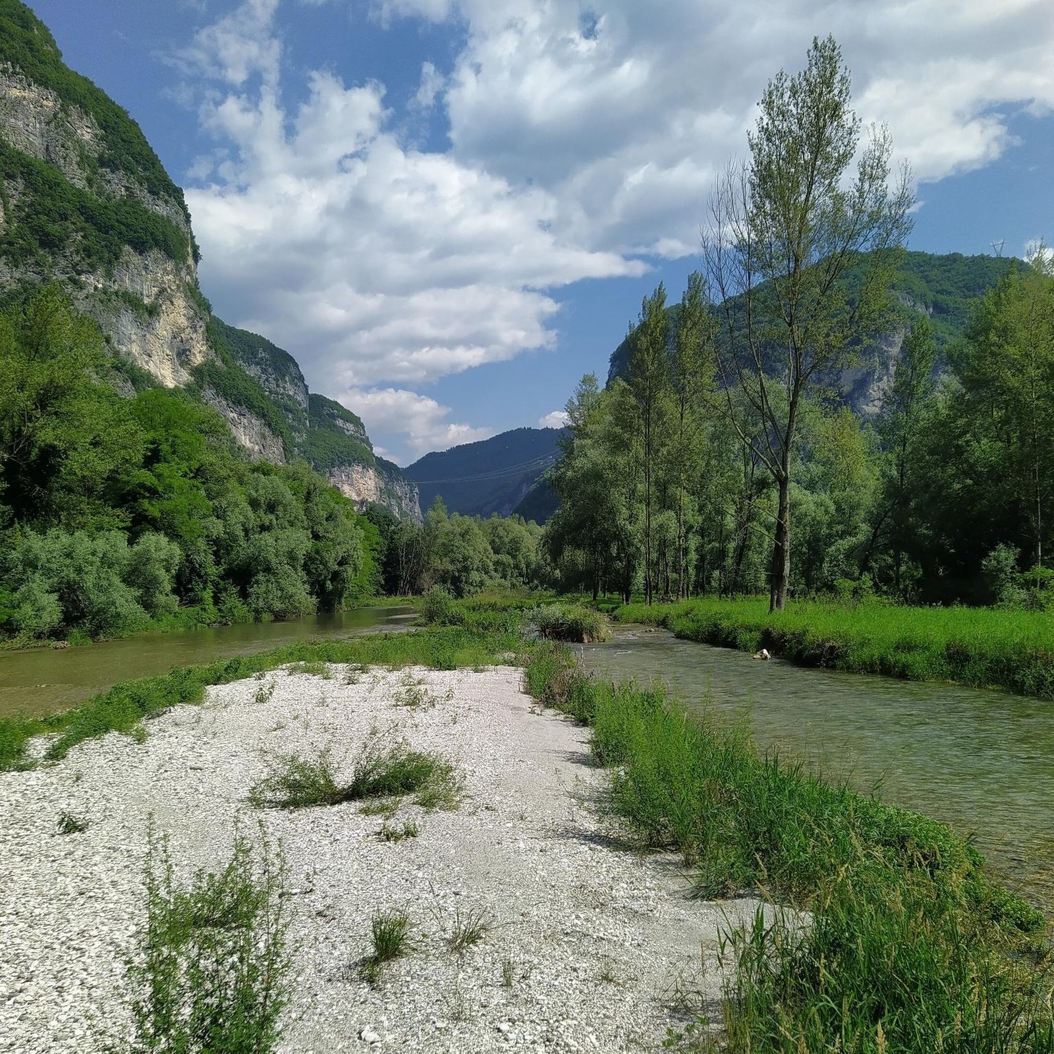

Tips from the Community


One of the few via ferratas in the Brenta Massif. This C/D climb runs along a ridge on the southeast flank of Monte Grappa and runs above a tunnel on the SP141. An exit is also available there.
0
0

The question is: why is this place worth visiting? The answer is only one: because the landscape is wonderful, because there is a spectacular view, because it is a site of historical importance, because in this place emotions and thoughts are unleashed. Getting there by the route I took is not difficult or dangerous and with the snow it is a spectacle. Good legs and in a few hours you can get there.
1
0

The Pierino Dalla Zuanna Trail (PDZ — dedicated to a mountaineer who died in a mountain accident) climbs the angular side of Monte Pubel, often climbing between rocks, with some short wooded and flat sections where you can catch your breath. Shortly after the Bivio delle Strade Militari (660 m), a second fork forces you to make a choice: on the right, you head for the equipped section; while on the left, you follow the 'quiet' variant, but not without steep sections, recommended on the way back. The equipped route is officially EEA: it is not difficult (the most experienced can even do without a harness); obviously, it requires attention and a sure step. The two variants join at the Panchina del Generale, located in an overhanging pulpit, with a stunning view of the Canale del Brenta! From there, in 10 minutes you reach the Croce di S. Francesco, on the top of Monte Pubel. Excellently maintained, marked and equipped trail; exposed to the sun and therefore muggy in summer.
1
0

The Bassano refuge is located on the top of Monte Grappa, at 1,750 meters above sea level, and is the only refreshment point near the Sacrario. The structure offers a panoramic view that ranges from the Veneto plain to the Dolomites and offers typical dishes of Venetian cuisine, such as pappardelle with wild boar and gnocchi with mountain cheeses. The refuge is a resting place for hikers and cyclists, and is open all year round, with closures on Mondays and Tuesdays during the winter. Monte Grappa is known for its historical and natural importance. An ideal destination for mountain and history lovers, it offers a 360-degree view and numerous trails, as well as being a point of reference for the memory of the world wars. The summit is accessible via trails, asphalt roads and cycle paths.
1
0

If you cycle up Monte Grappa, you should not miss a visit to the "Ossarium", a monumental memorial to the soldiers who died here in the senseless trench warfare during the First World War. The road up Monte Grappa ends at a large car park at Rifugio Bassano. From here, it is only a long flight of stairs to the Ossarium and then you can admire the extensive Ossarium and enjoy the overwhelming view. On my first visit, I pushed my racing bike up the stairs because I didn't have a lock with me. On my second visit with my friend, we locked the bikes in the car park and climbed up.
1
0

A truly suggestive place that produces thoughts, it is worth the climb both on asphalt and on the path
0
0

Refuge and well-deserved rest after the climb
1
0
Frequently Asked Questions
What is the typical difficulty and length of mountaineering routes around Valstagna?
Mountaineering routes in Valstagna range from moderate to difficult. You'll find trails like the Rifugio Monte Grappa loop from Romano d'Ezzelino, which is moderate and about 6.2 miles (10.0 km) long, to more challenging options such as the Monte Grappa – Val delle Mure loop from Albergo Forcelletto, covering 8.4 miles (13.6 km) with significant elevation changes.
Are there any circular mountaineering routes in the Valstagna area?
Yes, many of the mountaineering routes around Valstagna are designed as circular loops, allowing you to start and end at the same point. Examples include the popular Croce di San Francesco loop from Valstagna and the Maiga Piana della Casetta loop from Monte Cogolin.
What is the best season for mountaineering in Valstagna?
The best season for mountaineering in Valstagna is typically from late spring through early autumn (May to October). During these months, the weather is generally more stable, and trails are clear of snow, offering optimal conditions for exploring the pre-Alpine landscape. Always check local weather forecasts before heading out.
Are there any family-friendly mountaineering trails near Valstagna?
While many routes in Valstagna are rated moderate to difficult, some sections or shorter loops might be suitable for families with older children who are accustomed to hiking. For a less strenuous option, consider parts of the Maiga Piana della Casetta loop from Monte Cogolin, which is rated moderate and offers varied terrain without extreme technical challenges.
Can I bring my dog on the mountaineering routes in Valstagna?
Many trails in the Valstagna region are dog-friendly, but it's always advisable to keep your dog on a leash, especially in areas with livestock or wildlife. Ensure your dog is fit enough for the terrain and distance, and always carry enough water for both of you. Check local signage for any specific restrictions.
What kind of gear should I wear for mountaineering in Valstagna?
Given the pre-Alpine terrain, sturdy hiking boots with good ankle support are essential. Layered clothing is recommended to adapt to changing weather conditions, including waterproof and windproof outer layers. A backpack with water, snacks, a map, compass or GPS, and a first-aid kit is also crucial. Trekking poles can be very helpful on steeper sections.
Are there any interesting natural landmarks or attractions along the mountaineering routes?
Yes, the Valstagna area is rich in natural beauty and unique geological features. You can explore the fascinating Monte Corno Rock Labyrinth or visit the intriguing Oliero Caves. The Oliero River near the caves also offers scenic views.
Where can I find parking and access points for mountaineering trails in Valstagna?
Access points for mountaineering routes in Valstagna often start from small villages or designated parking areas near trailheads. For example, the Monte Grappa – Val delle Mure loop typically starts from Albergo Forcelletto, which usually has parking facilities. Other routes may begin from towns like Romano d'Ezzelino or directly from Valstagna itself. Always check specific route details for recommended starting points and parking.
Are permits required for mountaineering in the Valstagna region?
Generally, permits are not required for standard mountaineering and hiking routes in the Valstagna area. However, if you plan to engage in more technical climbing or access specific protected areas, it's always best to check with local authorities or mountain guides for any specific regulations or requirements.
What do other mountaineers enjoy the most about mountaineering in Valstagna?
The mountaineering routes in Valstagna are highly rated by the komoot community, with an average score of 5.0 stars. Reviewers often praise the challenging ascents to pre-Alpine peaks, the diverse terrain that includes forested valleys and rocky outcrops, and the expansive panoramic views, especially from areas like Monte Grappa.
Are there any hidden gem mountaineering trails in Valstagna?
While the main routes offer stunning experiences, exploring the lesser-known paths connecting the Brenta River valley to the high-altitude plateaus can reveal hidden gems. These often involve traversing dense woodlands and rocky outcrops, providing a sense of solitude and discovery away from more frequented trails. Consider exploring variations around the Mountaineering loop from Monte Grappa for unique perspectives.
Are there cafes or pubs near the mountaineering routes in Valstagna?
Yes, you'll often find small cafes, trattorias, or mountain huts (rifugi) in the villages or at key points along or near the mountaineering routes. These offer opportunities for refreshments and local cuisine. For example, routes around Monte Grappa might have options near Albergo Forcelletto or Rifugio Monte Grappa itself, providing a welcome break during your trek.
Most popular routes around Valstagna
Most popular attractions around Valstagna

Get inspired with the komoot mobile app


Explore more
Browse the best Mountain Hikes & Routes in other regions.
