The best mountain hikes around Seyne
5.0
(2)
22
hikers
2
hikes
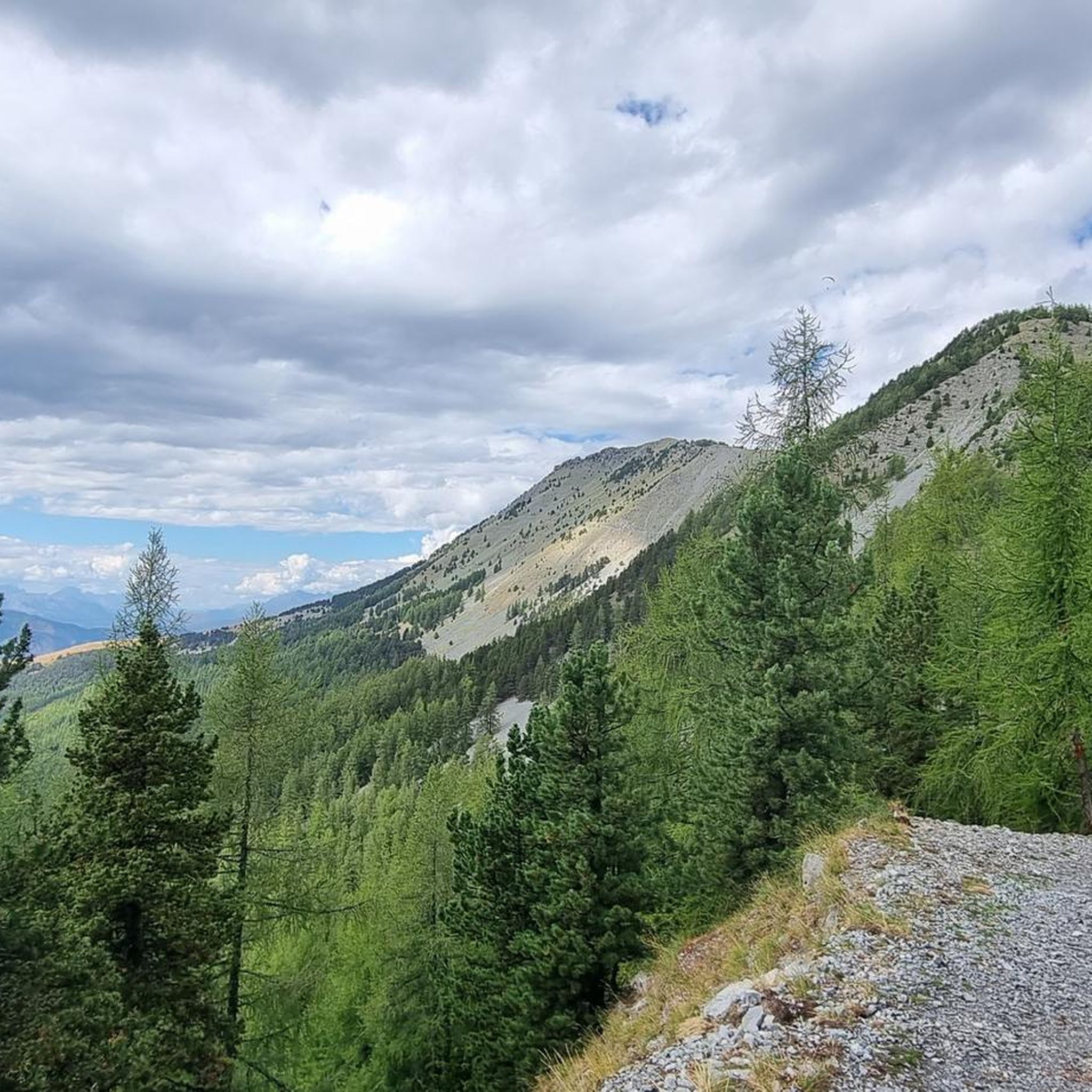
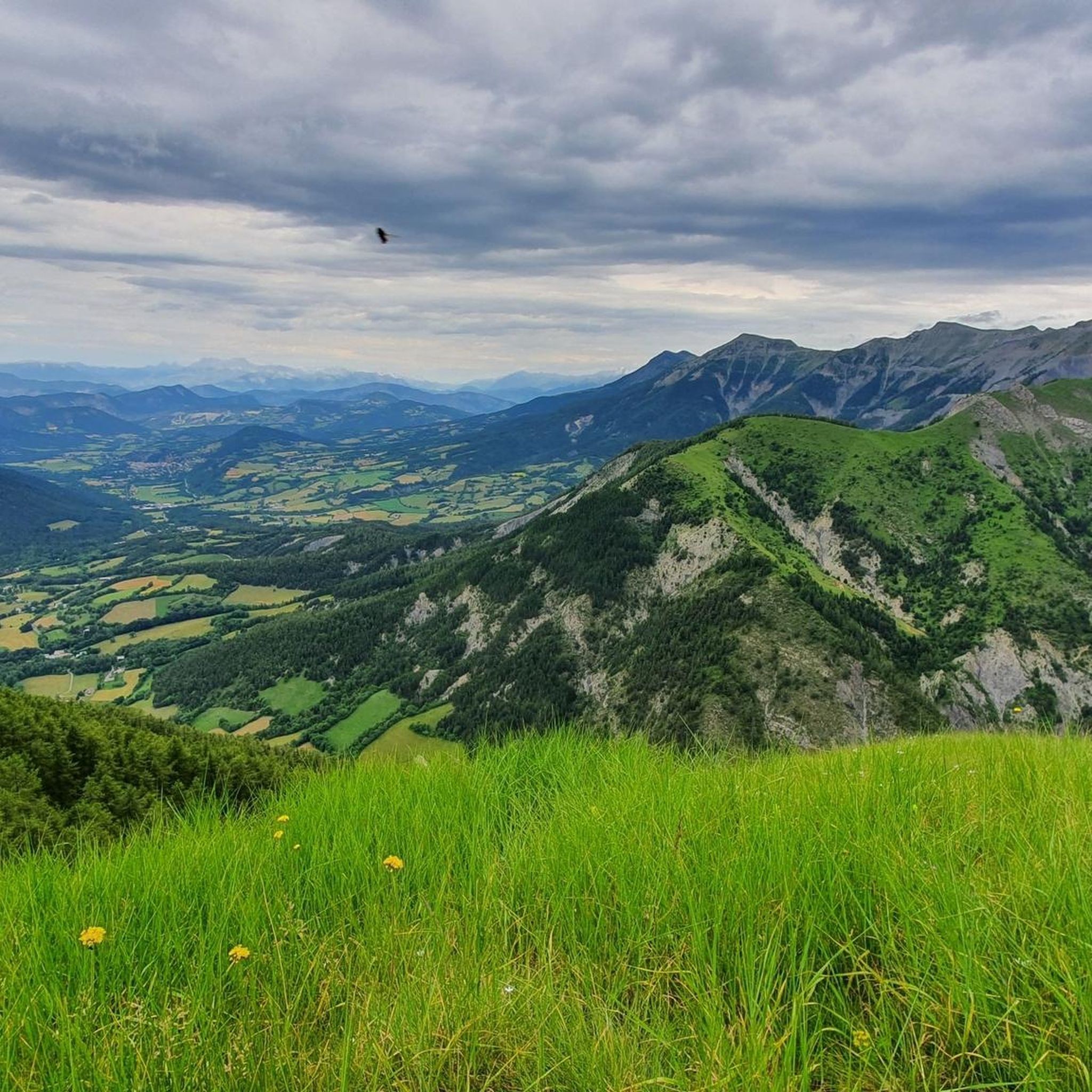
Mountaineering routes around Seyne traverse a landscape characterized by rugged peaks, high-altitude plateaus, and deep valleys within the French Alps. The region offers varied terrain, from challenging ascents to more moderate high-mountain trails. Elevations can be significant, providing expansive views of the surrounding alpine environment.
Best mountaineering routes around Seyne
- The most popular mountaineering route is Tête de Louis XVI loop from Les Clots, a 6.4 miles (10.3 km) trail that takes 4 hours 33 minutes to complete. This challenging route features significant elevation gain through alpine meadows and rocky sections.
- Another top favourite among local mountaineers is Tête de l'Estrop – Refuge de l'Estrop loop from Prads, a difficult 14.5 miles (23.4 km) path. This extensive route explores remote mountain terrain, including high passes and a refuge.
- Local mountaineers also love the Cabane de Plan-Bas loop from Parking Audemard, an 11.4 miles (18.3 km) trail leading through high-altitude pastures and forested sections, often completed in about 6 hours 30 minutes.
- Mountaineering around Seyne is defined by challenging ascents to prominent peaks, traverses across high mountain passes, and routes through alpine forests. The network offers options for different ability levels, including several advanced mountaineering routes Seyne.
- The routes in Seyne are highly rated by the komoot community with an average score of 5.0 stars from over 3 reviews. More than 30 mountaineers have used komoot to explore Seyne's varied terrain.
Last updated: July 9, 2026
6
hikers
10.3km
04:34
970m
970m
Hard mountaineering route. Very good fitness required. Easily-accessible paths. Suitable for all skill levels.
5.0
(1)
6
hikers
18.3km
06:30
710m
710m
Hard mountaineering route. Very good fitness required. Mostly accessible paths. Sure-footedness required.

Sign up for free
5.0
(1)
5
hikers
11.5km
04:26
790m
790m
Moderate mountaineering route. Good fitness required. Easily-accessible paths. Suitable for all skill levels.
5
hikers
7.52km
02:55
540m
540m
Moderate mountaineering route. Good fitness required. Easily-accessible paths. Suitable for all skill levels.
Our route recommendations are based on thousands of hikes, rides, and runs completed by other people on komoot.
Start today with a free account
Your next adventure awaits.
Login or Signup
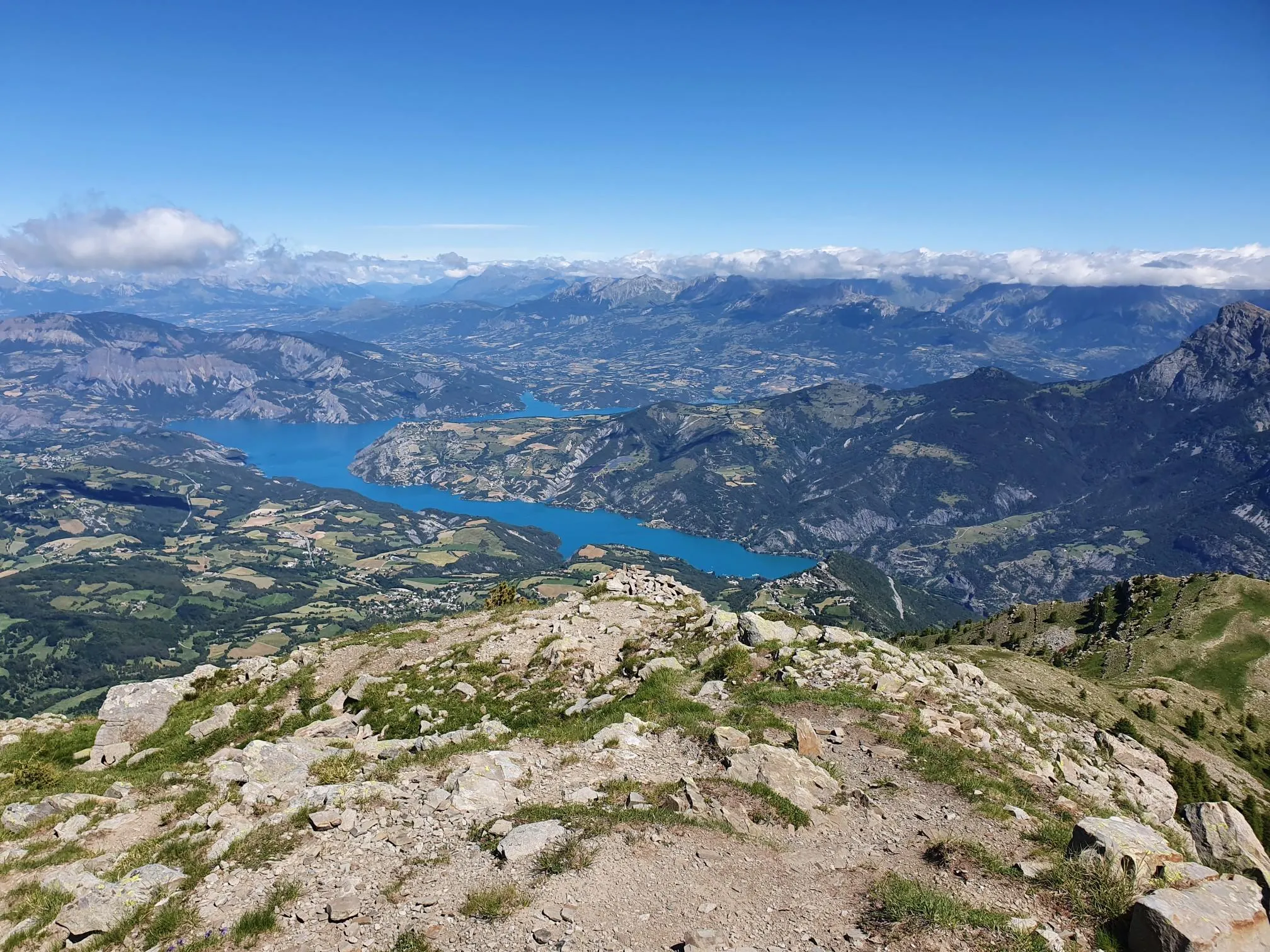
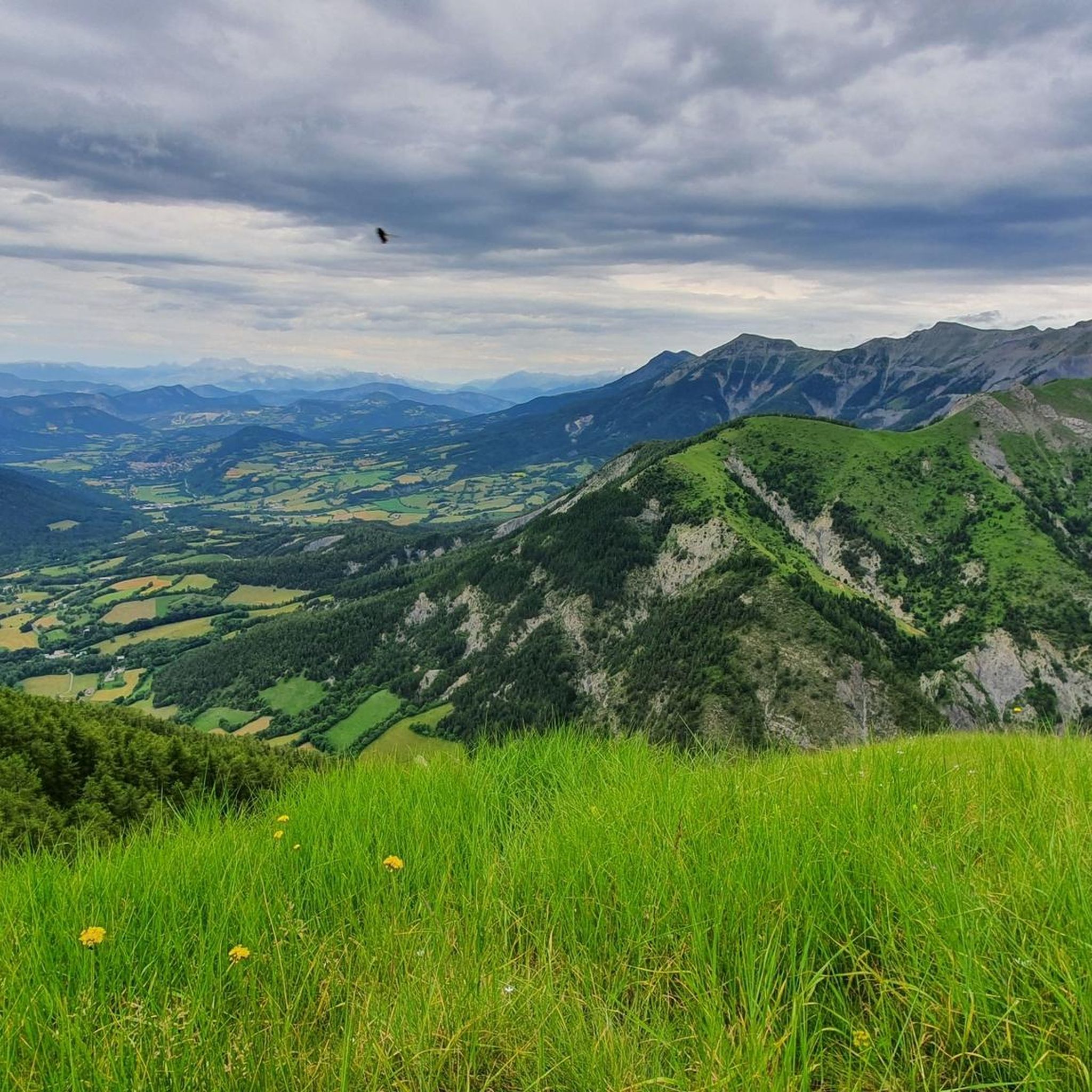
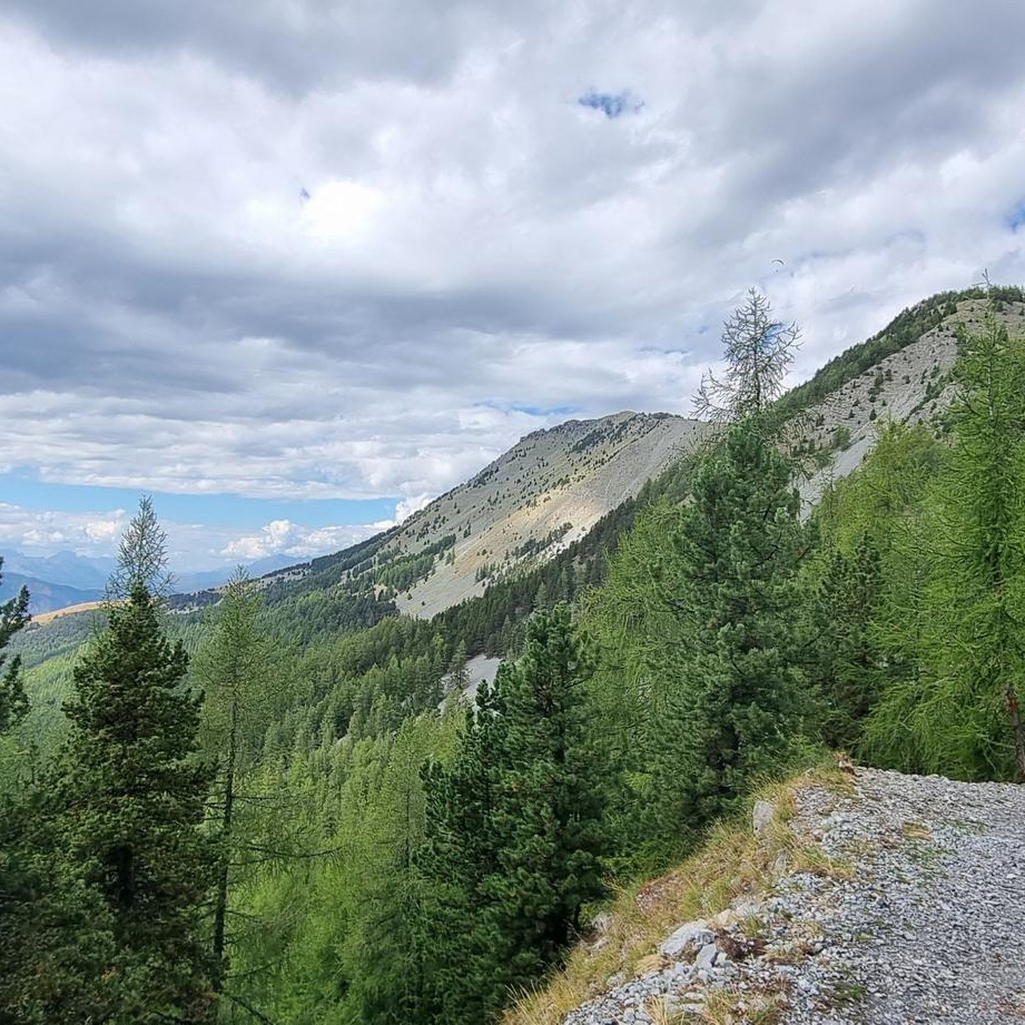

Other adventures around Seyne

Tips from the Community

A nice little spot in the summer, but in winter the tables are under the snow
0
0
A place steeped in history, it was once a hamlet where men and sheep lived in symbiosis. In winter, the setting is splendid.
0
0

Beautiful place for a picnic. Tables and benches are available.
0
0

First built in 1724, it is a simple unguarded cabin with a stove, shelf and toilet. Great refuge in case of bad weather!
1
0
Ideal place for a break under the trees by the river with a picnic table.
0
0

This former pastoral hut dates from 1724 and was completely restored between 2017 and 2020 by the ONF, the association for the protection and development of Laverq and the municipality of Méolans-Revel. It is an unguarded hut which contains a stove, a shelf and a table. You will also find dry toilets there. It is a rustic place, but damn practical in case of bad weather in particular!
1
0

You can even stay inside it is opened to hikers and just keep it clean when leaving.
1
0
Frequently Asked Questions
What kind of mountaineering routes can I expect around Seyne?
Mountaineering routes around Seyne are primarily challenging, traversing rugged peaks, high-altitude plateaus, and deep valleys within the French Alps. You'll find options ranging from moderate to difficult, often involving significant elevation gain and rocky sections.
Are there any moderate mountaineering routes in Seyne for those looking for a less strenuous option?
Yes, while many routes are difficult, there are a couple of moderate options. Consider the Baisse de l'Aiguille loop from La Foux d'Allos, which covers about 11.5 km, or the shorter Baisse de l'Auriac loop from La Foux d'Allos, around 7.9 km.
What are some challenging mountaineering routes near Seyne?
For experienced mountaineers, Seyne offers several demanding routes. The Tête de l'Estrop – Refuge de l'Estrop loop from Prads is a difficult 23.4 km path exploring remote mountain terrain. Another challenging option is the Cabane de Plan-Bas loop from Parking Audemard, an 18.3 km trail through high-altitude pastures.
Are there circular mountaineering routes available in Seyne?
Yes, many of the mountaineering routes around Seyne are designed as loops. Examples include the Tête de Louis XVI loop from Les Clots, the Tête de l'Estrop – Refuge de l'Estrop loop from Prads, and the Baisse de l'Aiguille loop from La Foux d'Allos, providing varied circular experiences.
What can I see along the mountaineering routes in Seyne?
The routes offer stunning alpine scenery. You'll encounter prominent mountain peaks like Grande Séolane and Tête de l'Estrop, as well as several mountain passes such as Col du Fanget and Col Saint Jean, offering expansive views.
What do other mountaineers enjoy most about the routes in Seyne?
The area is highly rated by the komoot community, with an average score of 5.0 stars. Reviewers often praise the challenging ascents, the remote mountain terrain, and the rewarding panoramic views from the high-altitude sections.
Are there any specific peaks or passes I should look out for while mountaineering in Seyne?
Absolutely. Notable peaks include Tête de la Sestrière and Dormillouse Battery. For mountain passes, don't miss Col des Garcinets and Col Bas, which offer unique perspectives of the landscape.
How many mountaineering routes are available around Seyne?
There are several mountaineering routes around Seyne, with at least four distinct tours detailed, offering a range of experiences for different skill levels.
What is the typical duration for mountaineering routes in Seyne?
The duration varies significantly depending on the route's length and difficulty. Moderate routes like the Baisse de l'Auriac loop can take around 3 hours, while more difficult and extensive routes, such as the Tête de l'Estrop loop, can require over 10 hours to complete.
What are the general characteristics of the terrain on Seyne's mountaineering routes?
The terrain is diverse, featuring alpine meadows, dense forested sections, and rugged rocky areas, especially at higher elevations. Expect significant elevation changes and varied ground underfoot, typical of high-mountain environments.
Is there a route that includes a mountain refuge for a potential stop?
Yes, the Tête de l'Estrop – Refuge de l'Estrop loop from Prads is a challenging route that specifically explores remote mountain terrain and includes a refuge, offering a potential resting point or overnight stay for longer expeditions.
Most popular attractions around Seyne

Get inspired with the komoot mobile app


Explore more
Browse the best Mountain Hikes & Routes in other regions.
