The best mountain hikes in Valle Della Ripa (Argentera)
4.8
(5)
63
hikers
6
hikes
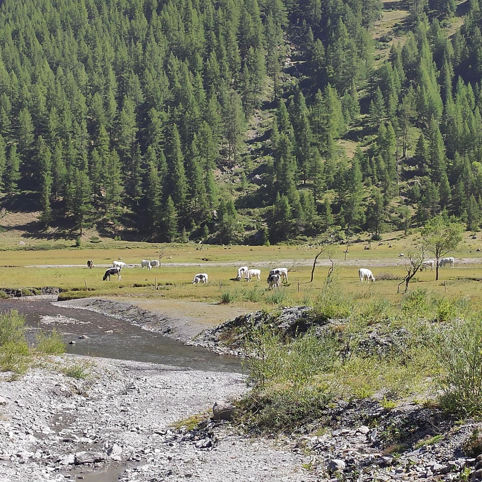
Mountaineering in Valle Della Ripa (Argentera) offers diverse terrain within an alluvial valley, characterized by the Ripa torrent, lush larch forests, and alpine pastures. The region features a complex morphology with altitudes ranging from 1541 to 3303 meters, leading to significant peaks like Punta Guccie and Rocca del Diavolo. Numerous streams carve deep valleys and form waterfalls, while slopes retain snow for extended periods. This area provides a robust network of trails suitable for various mountaineering expeditions.
Best mountaineering routes…
Last updated: July 10, 2026
5.0
(1)
12
hikers
14.6km
07:21
1,180m
1,180m
Hard mountaineering route. Very good fitness required. Sure-footedness, sturdy shoes and alpine experience required.
10
hikers
18.2km
07:35
1,410m
1,410m
Hard mountaineering route. Very good fitness required. Mostly accessible paths. Sure-footedness required.
5.0
(1)
11
hikers
19.4km
07:22
1,080m
1,080m
Hard mountaineering route. Very good fitness required. Mostly accessible paths. Sure-footedness required.
Get access to more routes and recommendations from other explorers.
Sign up for free
Already have an account?
Our route recommendations are based on thousands of hikes, rides, and runs completed by other people on komoot.
Start today with a free account
Your next adventure awaits.
Login or Signup
Popular around Valle Della Ripa (Argentera)
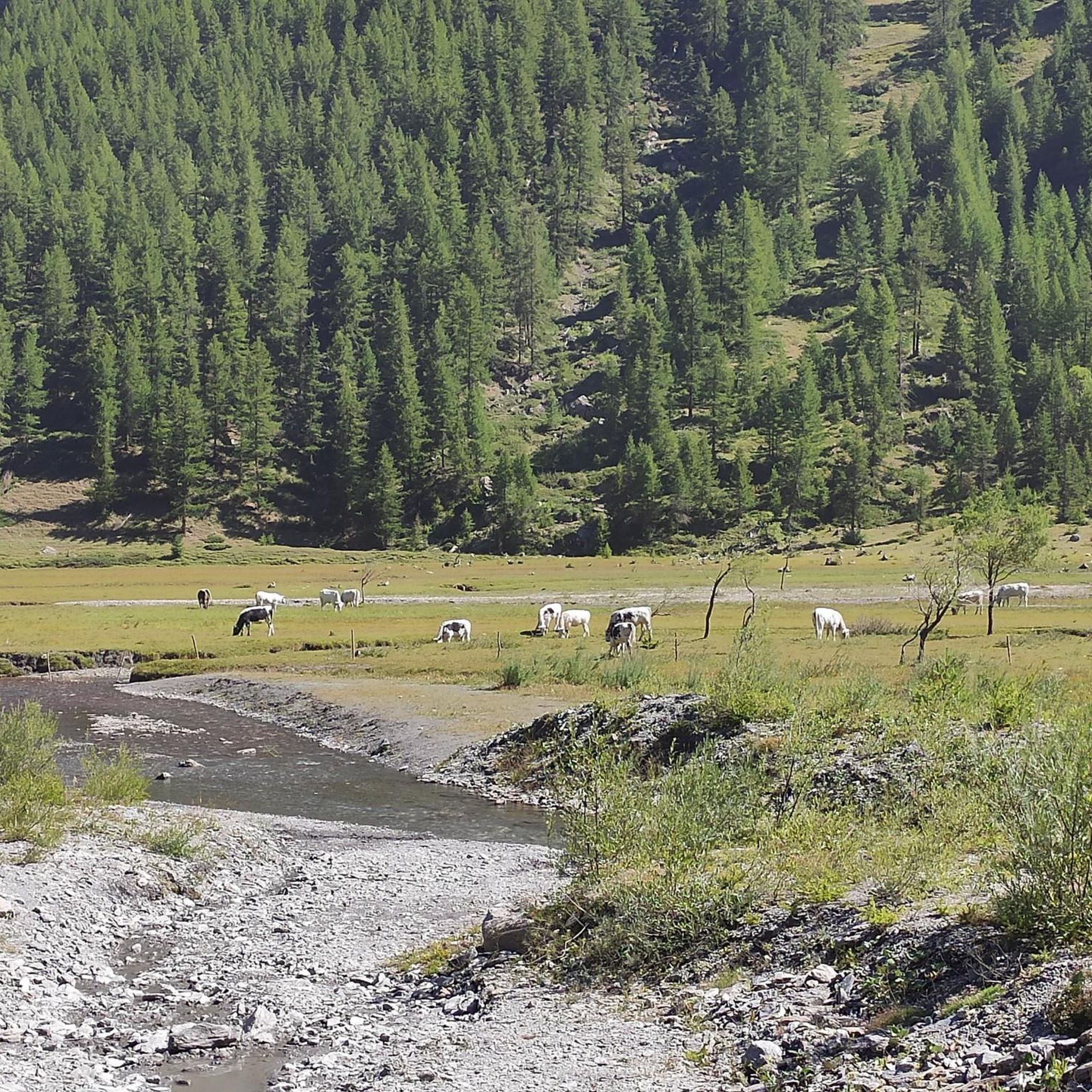
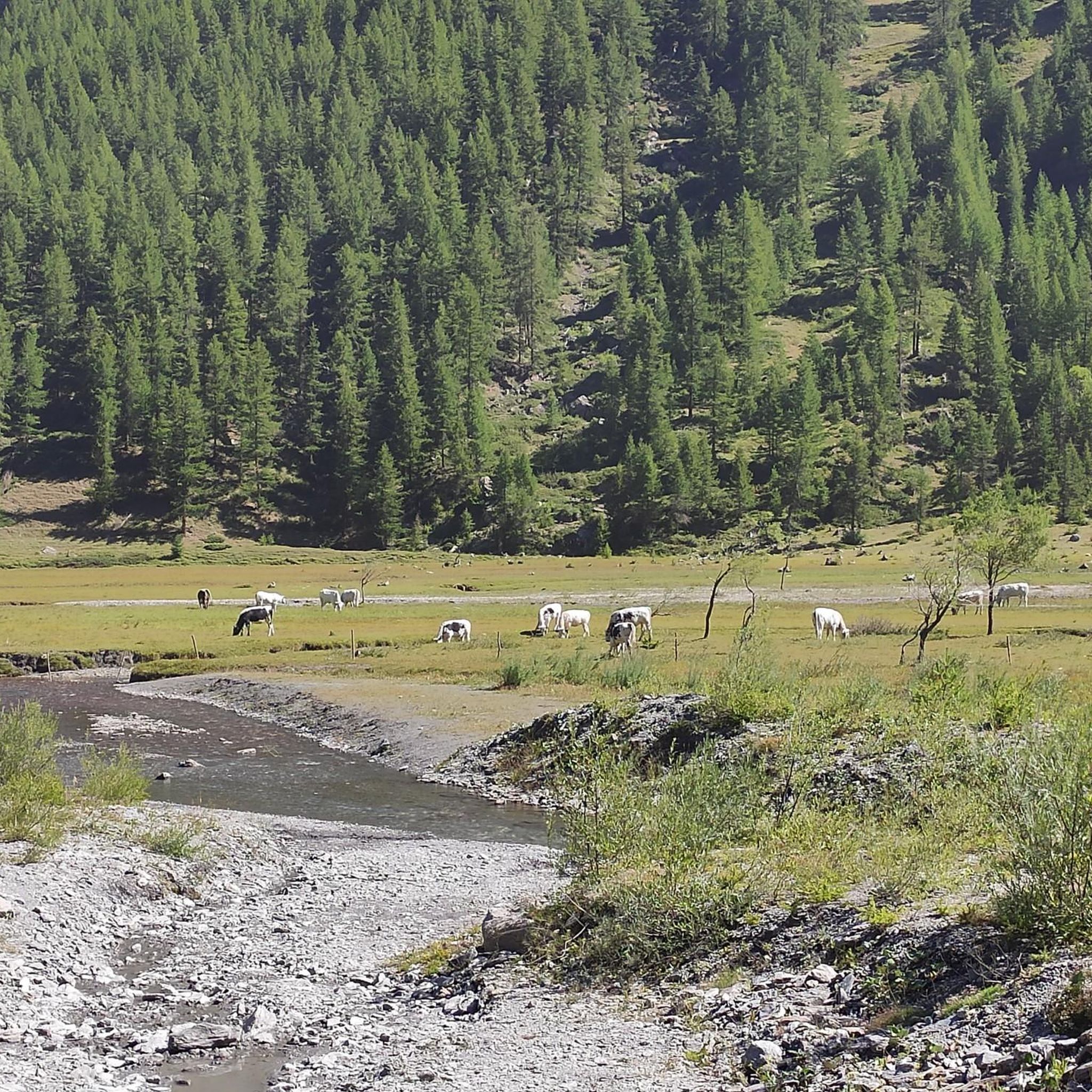
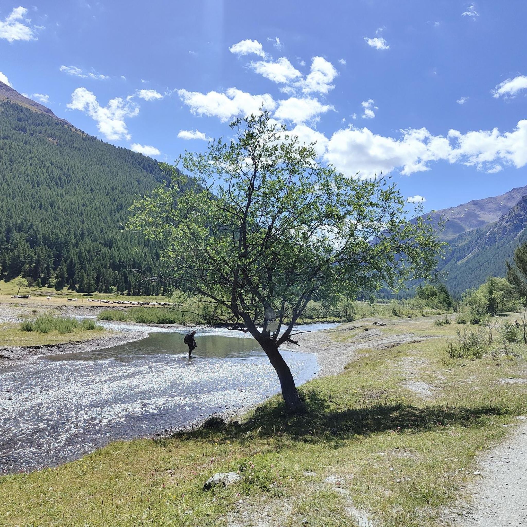
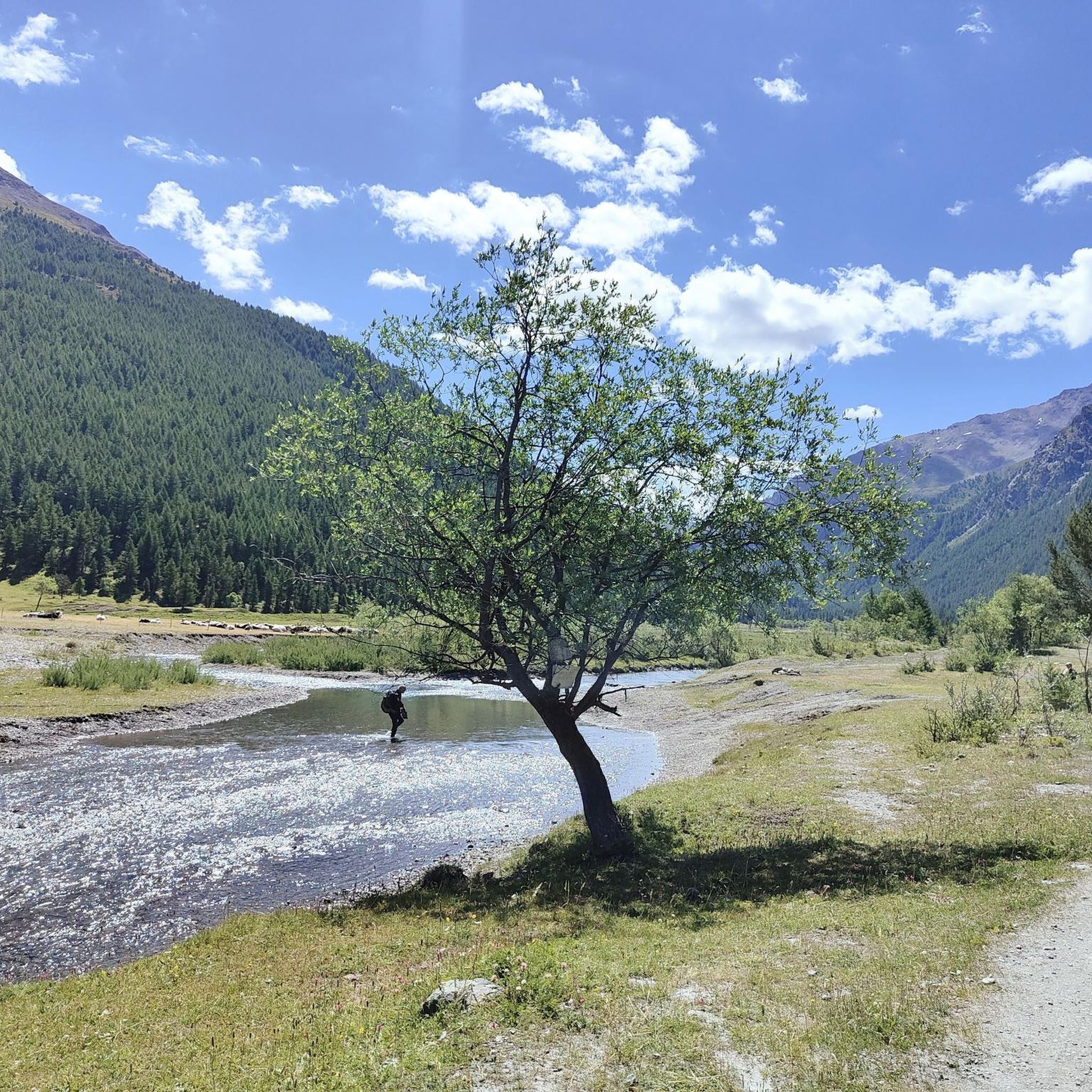

Tips from the Community

A summit offering a stunning 360-degree view! Highly recommended for a beautiful sunset!
0
0

It can be reached starting from Thures with a simple walk suitable for everyone
0
0

Easy walk, low altitude difference and paths accessible to all. Fascinating springs of ferruginous water, very beautiful valley and landscape. Too bad there is no real destination to reach where you can stop to eat and rest a bit.
0
1

Nice village of Cesana, where access by motor vehicles, lately, is allowed only to residents. If we want to go on an excursion that passes through here, we have to start 2 km before, at the beginning of the dirt road, on the bend of the road that goes to Thures
0
0

source of the Chisonetto torrent
0
0
rocky peak located at an altitude of 2300m, still in boundless nature
0
0
mountain lake fed by the Chiosonetto stream, perfect for a picnic
0
0

With a few kilometers of dirt road you enter a decidedly solitary valley.
0
0
Frequently Asked Questions
How many mountaineering routes are available in Valle Della Ripa (Argentera)?
Valle Della Ripa (Argentera) offers 7 distinct mountaineering routes, catering primarily to experienced adventurers with challenging terrain.
What are the typical difficulty levels for mountaineering routes in Valle Della Ripa (Argentera)?
The majority of mountaineering routes in Valle Della Ripa (Argentera) are classified as difficult, with 6 out of 7 routes falling into this category. There is also 1 moderate route available for those seeking a slightly less strenuous challenge.
Are there any family-friendly mountaineering routes in Valle Della Ripa (Argentera)?
While the listed mountaineering routes are predominantly difficult, the wider Valle Della Ripa area features easier walks along the Ripa torrent and through larch forests, which are more suitable for families. These provide a gentler way to experience the valley's natural beauty.
Can I find circular mountaineering routes in Valle Della Ripa (Argentera)?
Yes, several routes in Valle Della Ripa (Argentera) are designed as loops, allowing you to start and end at the same point. For example, you could explore the challenging Monte Giassiez loop from Thures or the moderate Cima del Bosco loop from Thures.
Are there any notable natural features or waterfalls to see along the routes?
Valle Della Ripa is rich in natural beauty. The Ripa torrent itself is a central feature, and numerous streams descend from the crests, carving deeply into the rock and forming many waterfalls. In winter, these waterfalls freeze completely, offering unique opportunities for ice climbing. The valley also boasts beautiful larch forests and alpine pastures.
What is the best time of year for mountaineering in Valle Della Ripa (Argentera)?
The best time for mountaineering typically depends on the specific route and conditions. Summer and early autumn offer the most accessible conditions for hiking and climbing. In winter, the valley transforms, becoming ideal for ice climbing on frozen waterfalls and off-piste ski mountaineering, though these activities require specialized skills and equipment.
What kind of wildlife can I expect to see in Valle Della Ripa (Argentera)?
As part of the Natura 2000 European network, Valle Della Ripa is ecologically significant. You might encounter various species such as the black grouse, rock partridge, ptarmigan, golden eagle, short-toed snake eagle, red-backed shrike, boreal owl, and alpine chough.
Are there any historical points of interest along the mountaineering trails?
Yes, the valley has a rich history. An almost unchanged military road from 1910 traverses the valley, providing access to visible fortifications. You can also find evidence of historical grazing activities, including rock carvings by shepherds, in higher valley areas below Rocca del Diavolo.
What are the highest peaks accessible for mountaineering in the region?
The valley's altitude ranges from 1541 to 3303 meters. Notable peaks include Montenero (1930 m), Punta Guccie (2,364 m), Rocca del Diavolo (2,649 m), and Monte Appenna (2979m). The nearby Monte Argentera, at 3,297 meters, is the highest peak in the Maritime Alps, offering classic and modern climbing routes.
Are there any lakes or panoramic viewpoints along the routes?
Yes, trails in Valle Della Ripa lead to picturesque lake landscapes and offer panoramic views of the surrounding mountains. The Roburent Lakes and Maddalena Lake, situated in a lush prairie, are particularly scenic in the wider Argentera area.
What do other mountaineers enjoy most about mountaineering in Valle Della Ripa (Argentera)?
The area is highly rated by the komoot community, with an average score of 4.7 stars. Mountaineers often praise the diverse terrain, from lush larch forests to high-alpine peaks, and the challenging yet rewarding nature of the routes. The extensive network of trails and the stunning natural landscapes are frequently highlighted.
Most popular routes in Valle Della Ripa (Argentera)

Get inspired with the komoot mobile app


Explore more
Browse the best Mountain Hikes & Routes in other regions.
