The best gravel rides around Uvernet-Fours
4.2
(16)
226
riders
17
rides
Gravel biking around Uvernet-Fours, located in the Alpes-de-Haute-Provence, offers diverse landscapes for outdoor exploration. The region features challenging routes through alpine scenery, characterized by majestic mountain peaks and high-altitude lakes. Riders encounter varied terrain, including mountain passes, pine forests, and embankments along the Ubaye River. This area provides a mix of paved and unpaved surfaces, catering to different gravel biking preferences.
Best gravel bike trails around Uvernet-Fours
- The most popular gravel bike trail is Col de la Bonette, a…
Last updated: October 14, 2026
3.8
(4)
67
riders
83.9km
07:56
2,000m
2,000m
Hard gravel ride. Very good fitness required. Mostly paved surfaces.
3.8
(4)
68
riders
66.8km
05:59
1,680m
1,680m
Hard gravel ride. Very good fitness required. Mostly paved surfaces.

5.0
(3)
9
riders
21.9km
01:40
590m
590m
Hard gravel ride. Very good fitness required. Mostly paved surfaces.
5.0
(1)
11
riders
27.4km
02:24
770m
770m
Hard gravel ride. Very good fitness required. Mostly paved surfaces.
3.0
(1)
13
riders
109km
08:34
3,280m
3,280m
Hard gravel ride. Very good fitness required. Mostly paved surfaces.
Get access to more routes and recommendations from other explorers.
Already have an account?
Our route recommendations are based on thousands of hikes, rides, and runs completed by other people on komoot.
Start today with a free account
Your next adventure awaits.
Popular around Uvernet-Fours
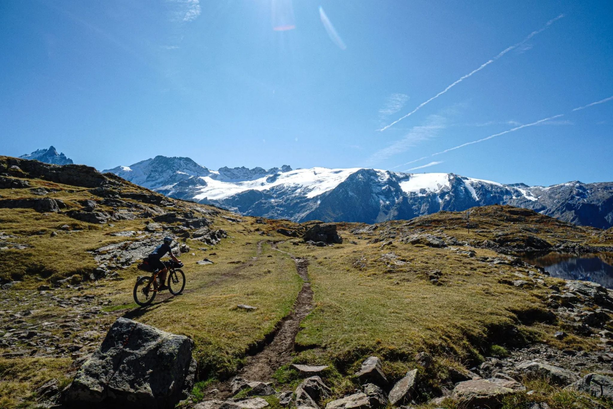
Transalps MTB – Chamonix to the Mediterranean Sea
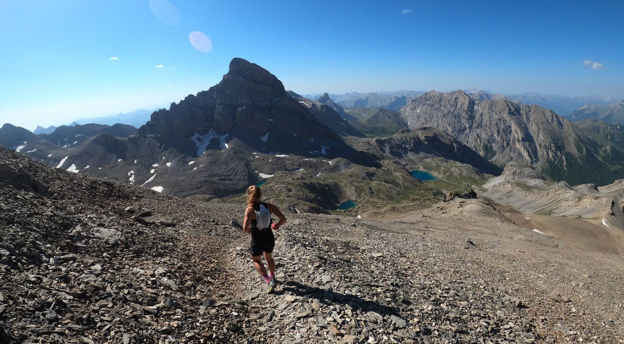
Trail running in the mountain peaks from Barcelonnette
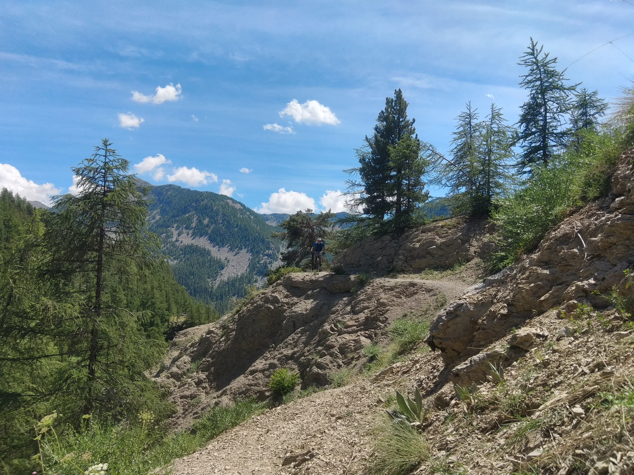
In the shadow of Europe's largest canyon – the TransVerdon
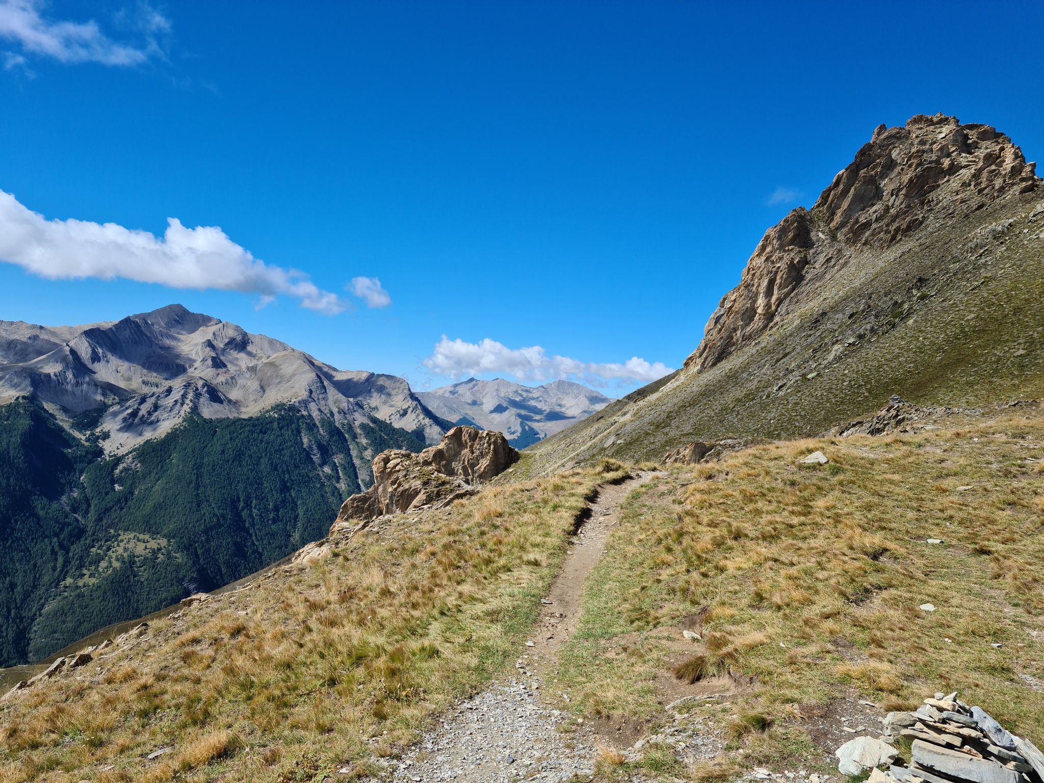
Mountains and marmots — France’s Ubaye trail (GR 56)
MigrAction – Generations in Motion
Hiking around Uvernet-Fours
Cycling around Uvernet-Fours
Road Cycling Routes around Uvernet-Fours
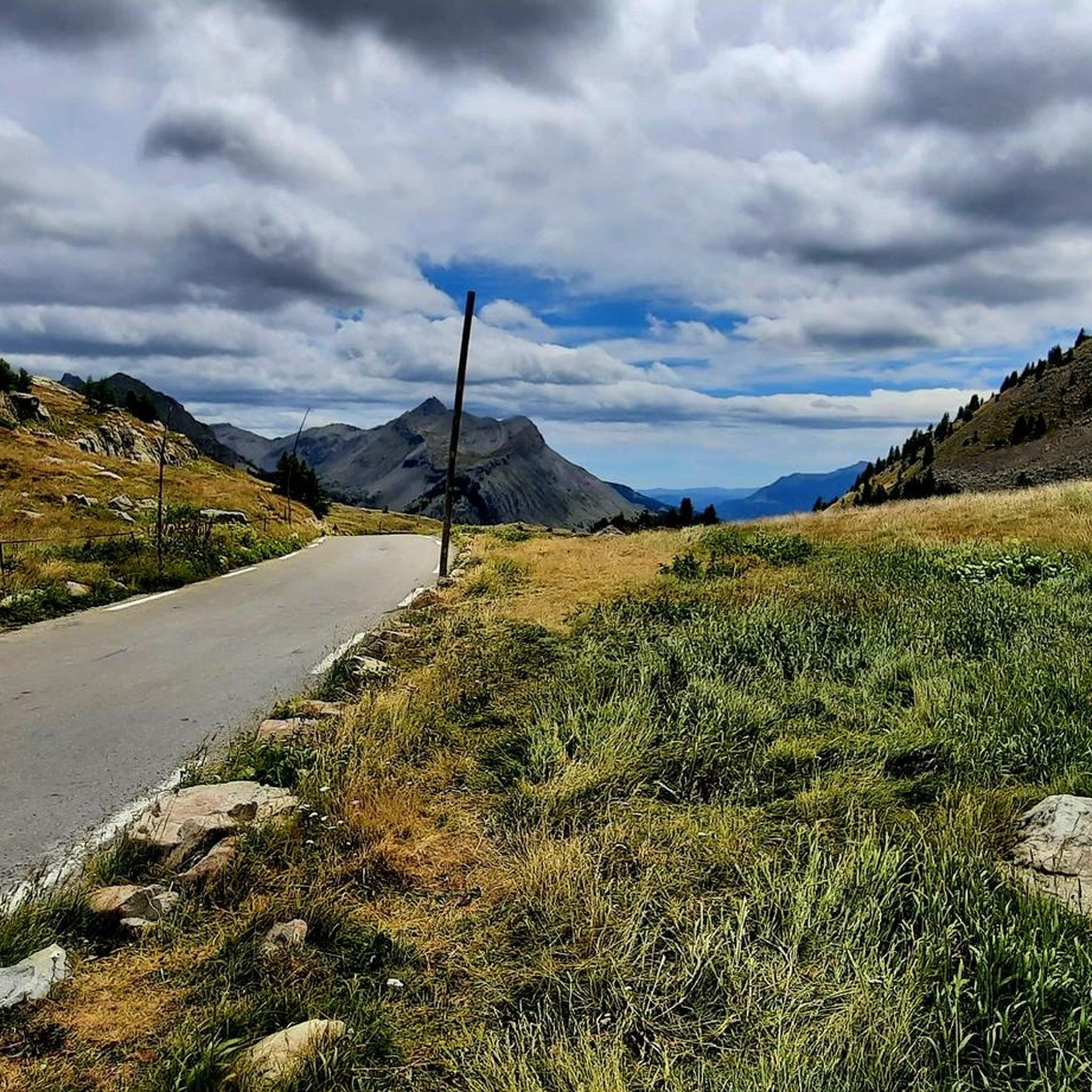
MTB Trails around Uvernet-Fours
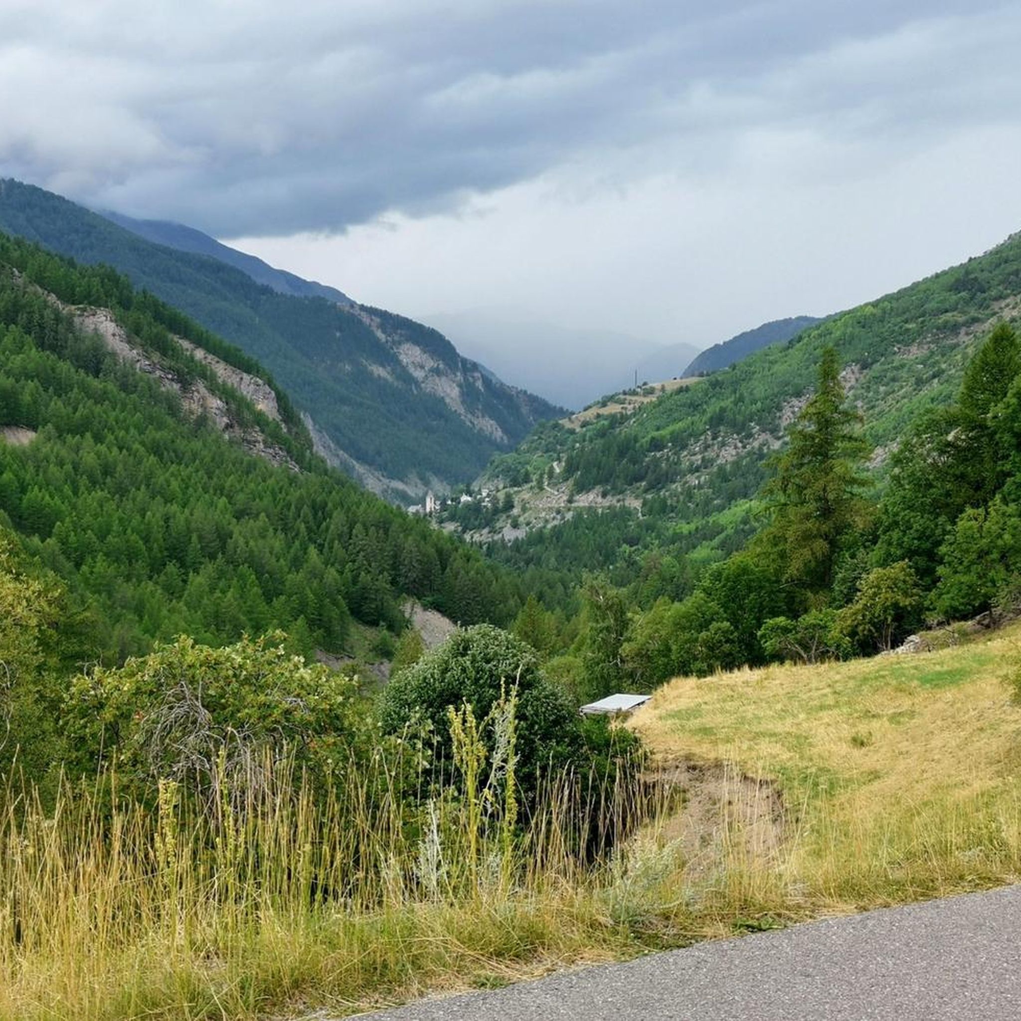
Running Trails around Uvernet-Fours
Other adventures around Uvernet-Fours


Tips from the Community

Nice route that crosses the valley. Fully rideable.
0
0

I rode up to the Col de Moutiere from Saint Etienne via Saint Dalmas, and then took the 3km of gravel road link to the Col de la Bonette. I returned to Saint Etienne via the more classic D64. It makes for a much quieter, wilder and steeper ascent, with a better (but busier) road surface and more gradual decline for the D64 descent. Also this way it's a loop and you see more of the incredible scenery. The 3km gravel section is very doable with my moutain bike (i would rate it as a 'blue'). I didnt need to carry or push the bike even though some parts were boken up by small water crossings. I was overtaken by a motorbike at one point. Be careful of the weather here, especially the potentially violent afternoon thunderstorms. There is no shelter nearby
0
0

In summer you can get a quick bite there, in winter it's closed
0
0

A TRUE GATEWAY TO WILD YET TAMED NATURE AND MAJESTIC MOUNTAIN PASSES
0
0

If there were a ranking of the most beautiful, undiscovered Alpine passes in the cycling world, the Moutière would certainly be a contender. Starting from Saint-Dalmas-le-Selvage, the climb through the valleys of Sestrière and Sagnas is simply sublime.
1
0
One of the most beautiful ways to reach the Bonette Pass from Saint Delmas le Selvage via the Col de la Moutière. Wild and isolated, the surroundings are breathtaking. However, be prepared for a long and difficult climb.
0
0

A beautiful restaurant on the route to the top of La Bonnette. The food looks more spectacular than it tastes. The almond apricot tart is definitely worth it.
0
0
Nice town, enough joreca and nice market twice a week.
0
0
Frequently Asked Questions
How many gravel bike trails are available around Uvernet-Fours?
There are over 15 gravel bike trails around Uvernet-Fours, offering a variety of experiences. Most routes are considered difficult, with a few moderate options for those seeking a less strenuous ride.
What kind of terrain can I expect on gravel bike trails in Uvernet-Fours?
The terrain around Uvernet-Fours is diverse, featuring a mix of paved and unpaved surfaces. You'll encounter challenging climbs through majestic mountain peaks, serene high-altitude lakes, and alpine forests. Routes often include iconic mountain passes and embankments along the Ubaye River.
Are there any family-friendly gravel biking options in the Uvernet-Fours area?
While many routes in Uvernet-Fours are rated as difficult, the region does offer some less strenuous paths. For a shorter, scenic ride, consider the Quiet alternative route – Barcelonnette loop from Barcelonnette, which is 28.5 km long and takes about 2 hours 27 minutes. It provides varied terrain suitable for families with some cycling experience.
What are some notable natural features or landmarks to see while gravel biking in Uvernet-Fours?
The Uvernet-Fours area is rich in natural beauty. You can ride past stunning high-altitude lakes like Lake Allos (Europe's largest natural high-altitude lake) or Lake Sainte-Marguerite. Iconic mountain passes such as Col de la Cayolle and Champs Pass offer breathtaking panoramas and quiet roads.
Are there any circular gravel bike routes starting from Barcelonnette?
Yes, there are several circular routes originating from Barcelonnette. A popular option is the Quiet alternative route – Barcelonnette loop from Barcelonnette, which is 28.5 km long. Another choice is the Sagnes Trail – Barcelonnette loop from Barcelonnette, covering 46.7 km.
What is the best time of year to go gravel biking in Uvernet-Fours?
The best time for gravel biking in Uvernet-Fours is typically during the warmer months, from late spring to early autumn. This period offers more favorable weather conditions and ensures that high mountain passes are clear of snow, providing access to the full range of routes and stunning alpine scenery.
What do other gravel bikers say about the trails in Uvernet-Fours?
The gravel biking routes in Uvernet-Fours are highly rated by the komoot community, with an average score of 3.7 stars from more than 8 reviews. Over 179 gravel bikers have explored the area, often praising the challenging climbs, diverse landscapes, and the stunning views from the high mountain passes.
Are there any routes that combine high mountain passes with lakes?
Absolutely. The Col de la Bonette and Lac des Sagnes route is an excellent choice. This difficult 83.9 km path combines the ascent of a high mountain pass with a visit to a serene high-altitude lake, offering both a physical challenge and picturesque views.
Can I find routes that are less crowded or offer a more 'hidden gem' experience?
While specific 'hidden gem' routes aren't explicitly named, the region is known for its quiet roads, especially on passes like the Col de la Cayolle and Champs Pass. Routes like the Quiet alternative route – Barcelonnette loop from Barcelonnette are designed to offer a more tranquil experience away from heavy traffic.
What is the typical difficulty level for gravel bike trails in this region?
Most gravel bike trails around Uvernet-Fours are rated as difficult, featuring significant elevation gains and distances. There are 14 difficult routes and 3 moderate routes, catering to experienced riders looking for a challenge. Beginners should look for shorter, less steep sections or consider the moderate options.
Are there any specific regulations for gravel biking within the Mercantour National Park?
The Col de la Bonette, a prominent feature in the region, is part of the Mercantour National Park. While specific gravel biking regulations aren't detailed here, it's generally advisable to stay on marked trails, respect wildlife, and follow Leave No Trace principles when cycling within national park boundaries to preserve the natural environment.
Where can I find amenities like bike washes or starting points for trails?
Some routes, like the Uvernet-Pra Loup path, are noted to start from convenient points such as the Pra Loup bridge, which may offer amenities like a bike wash. For other routes, starting points are often in or near towns like Barcelonnette, where you can find various services.
Most popular routes around Uvernet-Fours
Most popular attractions around Uvernet-Fours

Get inspired with the komoot mobile app


Explore more
Browse the best Gravel rides in other regions.
