The best walks and hikes around Buriville
4.4
(14)
138
hikers
10
hikes
Hiking around Buriville offers a network of trails through varied terrain. The region features routes that traverse open landscapes and forested areas. Hikers can expect paths with gentle elevation changes, suitable for different activity levels. The trails provide opportunities to explore the natural environment.
Best hiking trails around Buriville
- The most popular hiking route is Étang de Marainviller loop from Parking Grand Étang, a 1.5 miles (2.5 km) trail that takes about 40 minutes to complete. This easy route…
Last updated: July 1, 2026
5.0
(2)
15
hikers
9.47km
02:30
90m
90m
Moderate hike. Good fitness required. Easily-accessible paths. Suitable for all skill levels.
5.0
(3)
10
hikers
2.48km
00:38
0m
0m
Easy hike. Great for any fitness level. Easily-accessible paths. Suitable for all skill levels.

Sign up for free
5.0
(2)
15
hikers
10.7km
02:50
100m
100m
Moderate hike. Good fitness required. Easily-accessible paths. Suitable for all skill levels.
5
hikers
3.79km
00:58
10m
10m
Easy hike. Great for any fitness level. Easily-accessible paths. Suitable for all skill levels.
3
hikers
4.86km
01:14
10m
10m
Easy hike. Great for any fitness level. Easily-accessible paths. Suitable for all skill levels.
Get access to more routes and recommendations from other explorers.
Sign up for free
Already have an account?
Our route recommendations are based on thousands of hikes, rides, and runs completed by other people on komoot.
Start today with a free account
Your next adventure awaits.
Login or Signup


Tips from the Community


The beautiful Parc de Baccarat is located directly below the bridge behind the town hall. The benches invite you to take a break.
0
0

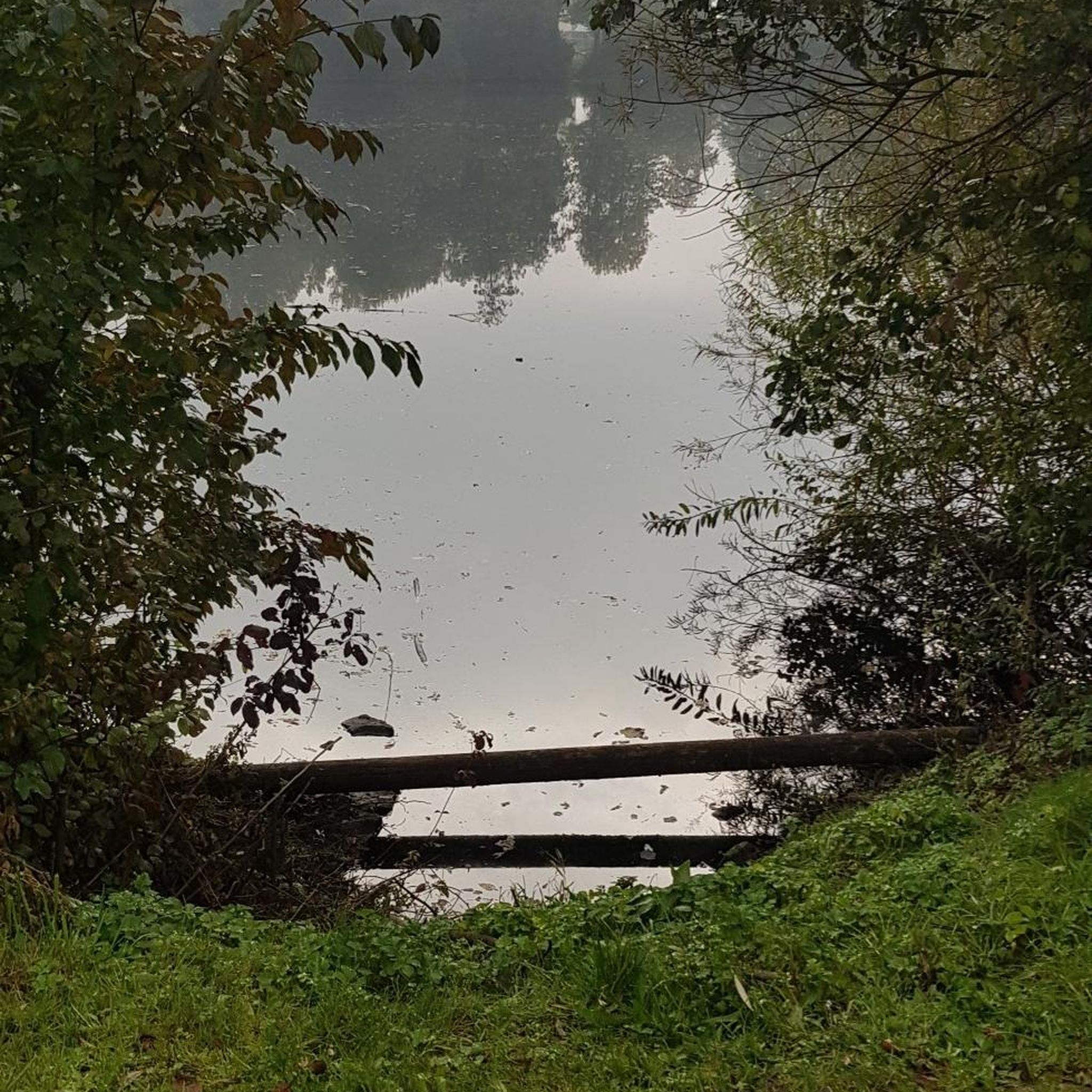
View of the pond from the dike.
2
0
Frequently Asked Questions
How many hiking trails are available in Buriville?
There are 9 hiking trails documented in Buriville, offering a variety of experiences. These include 4 easy routes and 5 moderate routes, ensuring options for different fitness levels.
Are there any easy, family-friendly hikes in Buriville?
Yes, Buriville offers several easy trails suitable for families. The region's landscapes, characterized by hardwood forests and streams, provide a pleasant setting. An example is the Étang de Marainviller loop from Parking Grand Étang, which is an easy 1.5-mile route.
What kind of terrain can I expect on Buriville's hiking trails?
Buriville's trails traverse diverse terrain, including dense hardwood forests, paths alongside lakes and winding streams, and some open landscapes. You can expect paths with gentle elevation changes, offering a mix of natural environments from serene woodlands to areas near water features.
Are there any circular hiking routes in Buriville?
Yes, many of the trails in Buriville are designed as loops, allowing you to start and end at the same point. For instance, the Croix du centre loop from Manonviller is a moderate 5.9-mile circular path that takes you through varied landscapes.
What is the best time of year to go hiking in Buriville?
The hardwood forests of Buriville are particularly picturesque during the fall, when foliage transforms into vibrant reds, golds, and oranges, making it an ideal time for scenic hikes. Spring and summer also offer pleasant conditions for exploring the trails and enjoying the natural beauty.
Can I bring my dog on the hiking trails in Buriville?
While specific regulations for each trail may vary, many natural areas in Burrillville, Rhode Island, are generally dog-friendly, especially if dogs are kept on a leash. It's always recommended to check local signage or specific trail guidelines before heading out with your pet.
Are there opportunities for wildlife viewing while hiking in Buriville?
Yes, the natural settings of Buriville provide excellent opportunities for wildlife viewing. Hikers often spot white-tailed deer and red foxes, particularly during early morning excursions. Chipmunks are also commonly seen in areas like the Clear River Trail.
What do other hikers say about the trails in Buriville?
The hiking routes in Buriville are highly rated by the komoot community, with an average score of 4.4 stars from over 10 reviews. Hikers often praise the quiet woodlands and the diverse natural environments found along the paths.
Are there any longer, more challenging hikes in Buriville?
While Buriville primarily features easy to moderate trails, some routes offer a longer distance and more varied terrain. The Croix du centre loop from Lunéville is a moderate 6.6-mile trail, often completed in about 2 hours 50 minutes, providing a good option for those seeking a longer excursion.
Are there any trails that offer a sense of seclusion in Buriville?
Many of Buriville's outdoor areas, such as the Buck Hill Management Area and the Clear River Trail, are known for offering a sense of seclusion. These trails allow visitors to appreciate nature away from crowds and the sounds of civilization, providing a tranquil hiking experience.
Are there any trails that follow water features in Buriville?
Yes, the region is dotted with lakes and features winding streams. Hikers can often find paths alongside these waterways, such as trails that follow streams in the Burrillville Fall Foliage Walk or lead to features like Duck Pond. The Clear River Preserve and Trail also offers a secluded experience along the Clear River.
What is the elevation gain like on Buriville's hiking trails?
The trails in Buriville generally feature gentle elevation changes, making them accessible for various activity levels. Even moderate routes like the Croix du centre loop from Manonviller have an elevation gain of around 88 meters, providing a good workout without extreme climbs.
Most popular attractions around Buriville

Get inspired with the komoot mobile app


Explore more
Browse the best Hikes in other regions.
