The best road cycling routes around Buriville
4.9
(42)
605
riders
61
rides
Road cycling around Buriville offers a rural setting characterized by open spaces, woodlands, and quiet country roads. The region features diverse natural landscapes, including pristine lakes and scenic beauty, providing a serene backdrop for cycling. The Burrillville Bike Path, a 1.2-mile paved rail-to-trail conversion, connects Harrisville and Pascoag, offering a dedicated route through forested areas and wetlands. This infrastructure, combined with surrounding country roads, supports varied road cycling experiences.
Best road cycling routes around Buriville
- The most popular road cycling…
Last updated: September 30, 2026
5.0
(1)
9
riders
61.4km
02:37
420m
420m
Moderate road ride. Good fitness required. Mostly well-paved surfaces and easy to ride.
4.0
(1)
7
riders
54.3km
02:21
460m
460m
Moderate road ride. Good fitness required. Mostly well-paved surfaces and easy to ride.

5
riders
Moderate road ride. Good fitness required. Mostly well-paved surfaces and easy to ride.
5.0
(1)
7
riders
97.2km
04:39
1,190m
1,190m
Hard road ride. Very good fitness required. Mostly well-paved surfaces and easy to ride.
5
riders
65.6km
02:53
640m
640m
Moderate road ride. Good fitness required. Mostly well-paved surfaces and easy to ride.
Get access to more routes and recommendations from other explorers.
Already have an account?
Our route recommendations are based on thousands of hikes, rides, and runs completed by other people on komoot.
Start today with a free account
Your next adventure awaits.
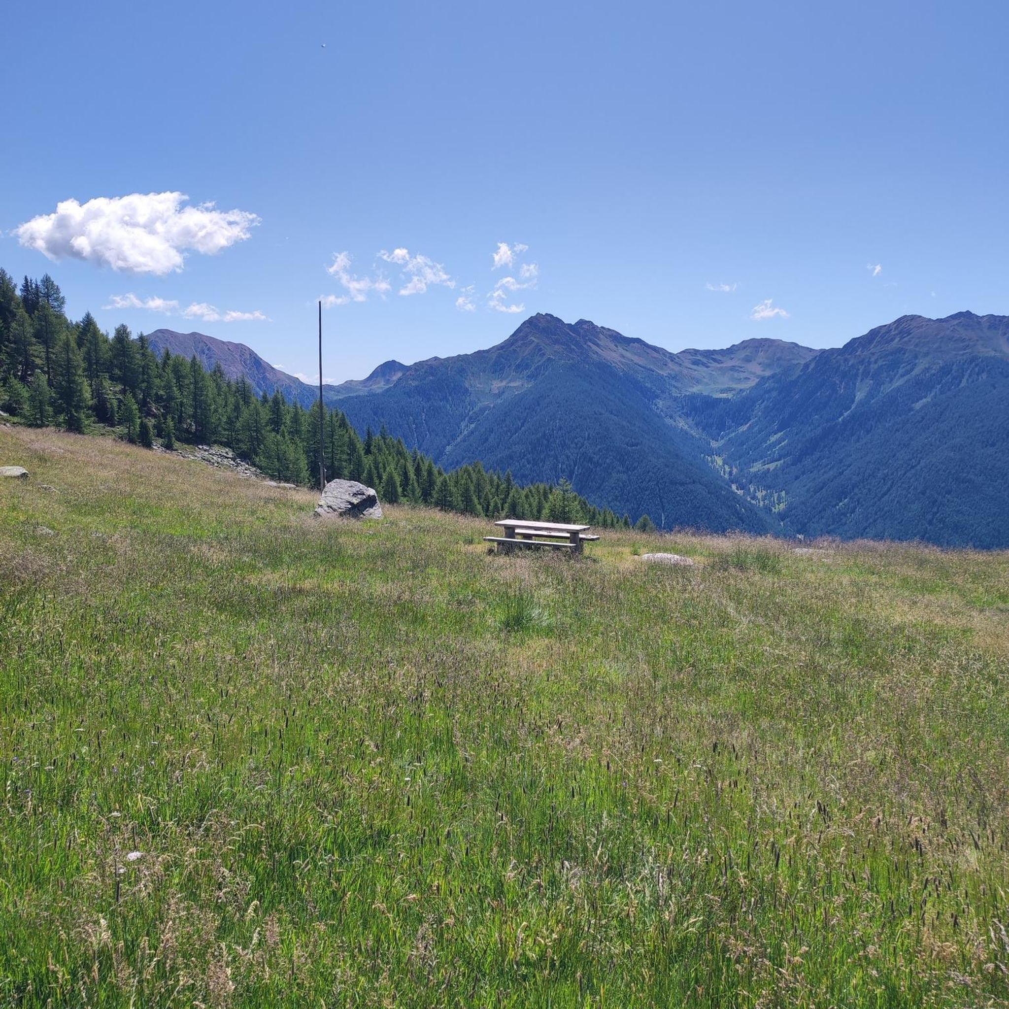


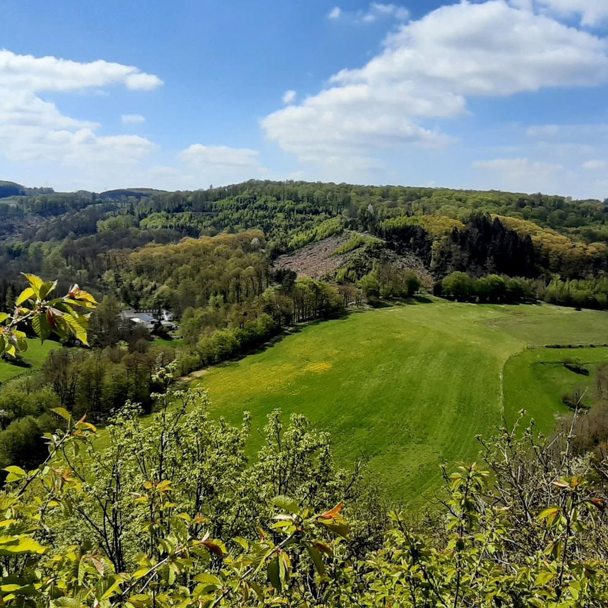
Tips from the Community

A nice little village in an idyllic region.
4
0

Its choir, dating from the 13th century, is the oldest part and reflects Cistercian influence with its two bays vaulted with ogival ribs and its flat chevet. The ogives, typical of the Gothic art of the time, are reinforced by wall ribs, while a blind arcade adorns the walls. This choir, devoid of a transept, follows the Cistercian tradition where the monks' choir is integrated directly into the nave. The nave and the portal, rebuilt in the 18th century, contrast with the old structure with their more sober and less remarkable style. The high altar, adorned with four Corinthian columns in black marble, bears witness to a later Baroque addition. This mixture of styles illustrates the architectural and liturgical evolutions the building has undergone over the centuries. The history of the church is linked to that of the village, whose lord in the 13th century was the abbey of Saint-Denis de Reims. A notable figure, Jean Mabillon, was born there in the 17th century and was baptized in this church. Classified as a historic monument in 1926, it now embodies a major religious and architectural heritage of the Ardennes, preserved for its medieval choir and its liturgical furnishings. Historical sources also mention bibliographical references, such as the works of Jean Leflon on Jean Mabillon or the studies of Hubert Collin on Ardennes churches. These works highlight the local importance of the building, both spiritually and architecturally, in a region marked by the influence of abbeys and monastic orders in the Middle Ages.
0
0
It is located on the left bank of the Meurthe, at number 14 rue Denfert-Rochereau. The Saint-Georges church is the church of La Neuveville-lès-Raon, which merged with Raon-l'Etape in 1947. It was built between 1835 and 1838 according to the plans of the district architect Boucher de Saint-Dié. The church was fitted out in 1894. In 1905 the dome was rebuilt. From 1973 to 1978, major restoration work was carried out, both interior and exterior. Inside, among other things, there is an old statue of Our Lady of Sorrows, a painting of Saint Nicholas, who is also the patron saint of wood-floaters, a painted wooden Christ, and a memorial chapel (1922).
0
0

"The giant Monument aux Morts de Badonviller, located next to the Église Saint-Martin, is an impressive memorial commemorating the village's inhabitants who died or went missing during the Great War (1914–1918), the Second World War, and the conflicts in Indochina (1946–1954) and Algeria (1954–1962).
6
0
This impressive dam, located in the Vosges, forms an artificial water reservoir together with the Lac de Pierre-Percée. The dam is 69 metres high and 330 metres long, built with a clay core and lined with volcanic rock. It plays an important role in water management and energy production via an underground water connection with the Lac de la Plaine. The surrounding area offers beautiful views and is ideal for hiking along rocky paths, forests and viewpoints over the lake.
7
0
Pierre-Percée is a small mountain village in the east of the Meurthe-et-Moselle department, on the edge of the Vosges Mountains. With fewer than 100 inhabitants, it is one of the smallest communes in the region. Situated on the edge of the Plaine Valley, the village is built at the foot of the ruins of the medieval Château de Pierre-Percée, which once belonged to the Counts of Salm. The village's name refers to a 33-meter-deep well carved into the rock beneath the castle. During the Thirty Years' War, the village, like the castle, was largely destroyed. In the 20th century, Pierre-Percée regained significance with the construction of the EDF reservoir and the creation of a recreation area, which today attracts tourists for hiking, water sports, and nature experiences.
10
0

Frequently Asked Questions
How many road cycling routes are available in Burrillville?
Burrillville offers a wide selection of road cycling routes, with over 50 options available. These routes cater to various skill levels, from easy rides to more challenging excursions through the region's diverse landscapes.
What kind of terrain can I expect on road cycling routes in Burrillville?
Road cycling in Burrillville features a charming rural setting with a mix of open spaces, woodlands, and quiet country roads. You'll encounter diverse natural landscapes, including pristine lakes and scenic beauty. The Les Noires Colas – Lake La Plaine loop from Azerailles, for instance, navigates through quiet roads and past natural water features, while the Rambervillers Town Hall – Chipotte Pass loop from Azerailles offers a journey through rural landscapes and open areas. Many routes also pass by historic stone walls, adding to the picturesque quality.
Are there routes suitable for beginners or families in Burrillville?
Yes, Burrillville has options for all skill levels. The region includes 10 easy road cycling routes, perfect for beginners or families looking for a relaxed ride. The Burrillville Bike Path, a 1.2-mile paved rail-to-trail, is particularly suitable for a gentle experience through forested areas and wetlands, and can be a starting point for exploring surrounding quiet country roads.
What are some notable natural features or landmarks I might see while cycling?
Burrillville's routes often pass by beautiful natural features and offer scenic views. You might cycle past pristine lakes like Spring Lake and Pascoag Reservoir, or along rivers such as the Clear River. The Abri du Pèlerin – Saint-Pierre loop from Azerailles leads through woodlands and quiet country roads. For specific landmarks, consider exploring areas near Baccarat or the Moyen Castle, which are nearby attractions.
What is the best time of year to go road cycling in Burrillville?
Burrillville is an appealing destination for outdoor enthusiasts due to its serene natural backdrop. While specific seasonal recommendations aren't provided, the diverse landscapes of woodlands, lakes, and open spaces suggest that spring, summer, and fall would offer the most pleasant conditions for road cycling, allowing you to fully enjoy the scenic beauty.
Are there any challenging routes for advanced road cyclists?
Yes, Burrillville offers routes for advanced cyclists. While the majority of routes are moderate, there is at least one difficult road cycling route available for those seeking a more strenuous challenge. These routes often feature greater elevation changes and longer distances, providing a rewarding experience for experienced riders.
Where can I find parking for road cycling routes in Burrillville?
While specific parking locations for all routes are not detailed, the Burrillville Bike Path, a key cycling infrastructure, is accessible and often serves as a starting point. It's common for rail-to-trail conversions to have designated parking areas. For other routes, parking can typically be found near trailheads or in nearby village centers like Harrisville and Pascoag, which the bike path connects.
What do other road cyclists say about the routes in Burrillville?
The road cycling routes in Burrillville are highly regarded by the komoot community, with an impressive average rating of 4.8 stars from over 40 reviews. Cyclists often praise the region's rural charm, quiet country roads, and the beautiful natural scenery, including woodlands and lakes, that provide a serene backdrop for their rides.
Are there any loop routes available for road cycling?
Yes, many of the road cycling routes in Burrillville are designed as loops, offering a convenient way to explore the area without retracing your steps. Examples include the Vieux-Pré Dam – Bridge in the center of Baccarat loop from Azerailles and the Nice climb, nice descent loop from Bénaménil, which allow you to experience varied landscapes in a circular journey.
Can I find cafes or places to stop for refreshments along the routes?
Burrillville is known for its rural character, but the villages it connects, such as Harrisville and Pascoag, offer amenities. The presence of Spring Lake Beach with its penny arcade also suggests local establishments. While specific cafes on routes are not listed, planning your ride to pass through these villages or near attractions like Spring Lake would likely provide opportunities for refreshments.
What is the average distance of road cycling routes in Burrillville?
The road cycling routes in Burrillville vary in distance to suit different preferences. Many popular routes are moderate in length, such as the Les Noires Colas – Lake La Plaine loop from Azerailles at approximately 43.5 miles (70 km) and the Rambervillers Town Hall – Chipotte Pass loop from Azerailles at about 38.1 miles (61.4 km). There are also shorter and longer options available.
Most popular attractions around Buriville

Get inspired with the komoot mobile app


Explore more
Browse the best Road cycling routes in other regions.
