The best MTB trails around Crocicchia
4.0
(2)
45
riders
8
rides
Mountain biking around Crocicchia offers routes through a mountainous environment in the Haute-Corse department of Corsica. The region is characterized by its relief, with elevations ranging from 195 meters to over 1000 meters, and features like rocky ridges and traditional villages. It is situated within the Castagniccia region, known for its dense forests and proximity to the Golo River. This area provides diverse terrain for mountain biking, from river valleys to higher elevations.
Best mountain bike trails around Crocicchia
- The…
Last updated: July 2, 2026
6
riders
29.3km
02:00
380m
380m
Moderate mountain bike ride. Good fitness required. Suitable for all skill levels.
5.0
(1)
6
riders
36.2km
03:21
1,050m
1,050m
Hard mountain bike ride. Very good fitness required. Advanced riding skills necessary.

Sign up for free
5
riders
31.3km
02:40
700m
700m
Moderate mountain bike ride. Good fitness required. Suitable for all skill levels.
3
riders
19.1km
02:06
760m
760m
Moderate mountain bike ride. Good fitness required. Suitable for all skill levels.
5.0
(1)
5
riders
37.7km
03:37
1,150m
1,150m
Hard mountain bike ride. Very good fitness required. Advanced riding skills necessary.
Get access to more routes and recommendations from other explorers.
Sign up for free
Already have an account?
Our route recommendations are based on thousands of hikes, rides, and runs completed by other people on komoot.
Start today with a free account
Your next adventure awaits.
Login or Signup
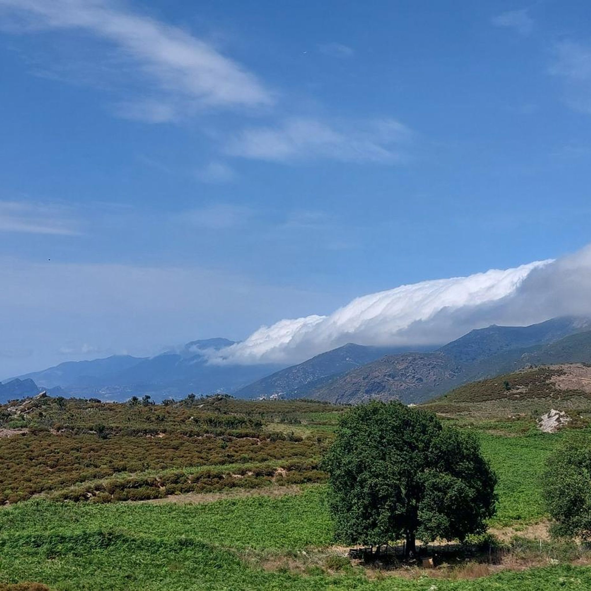
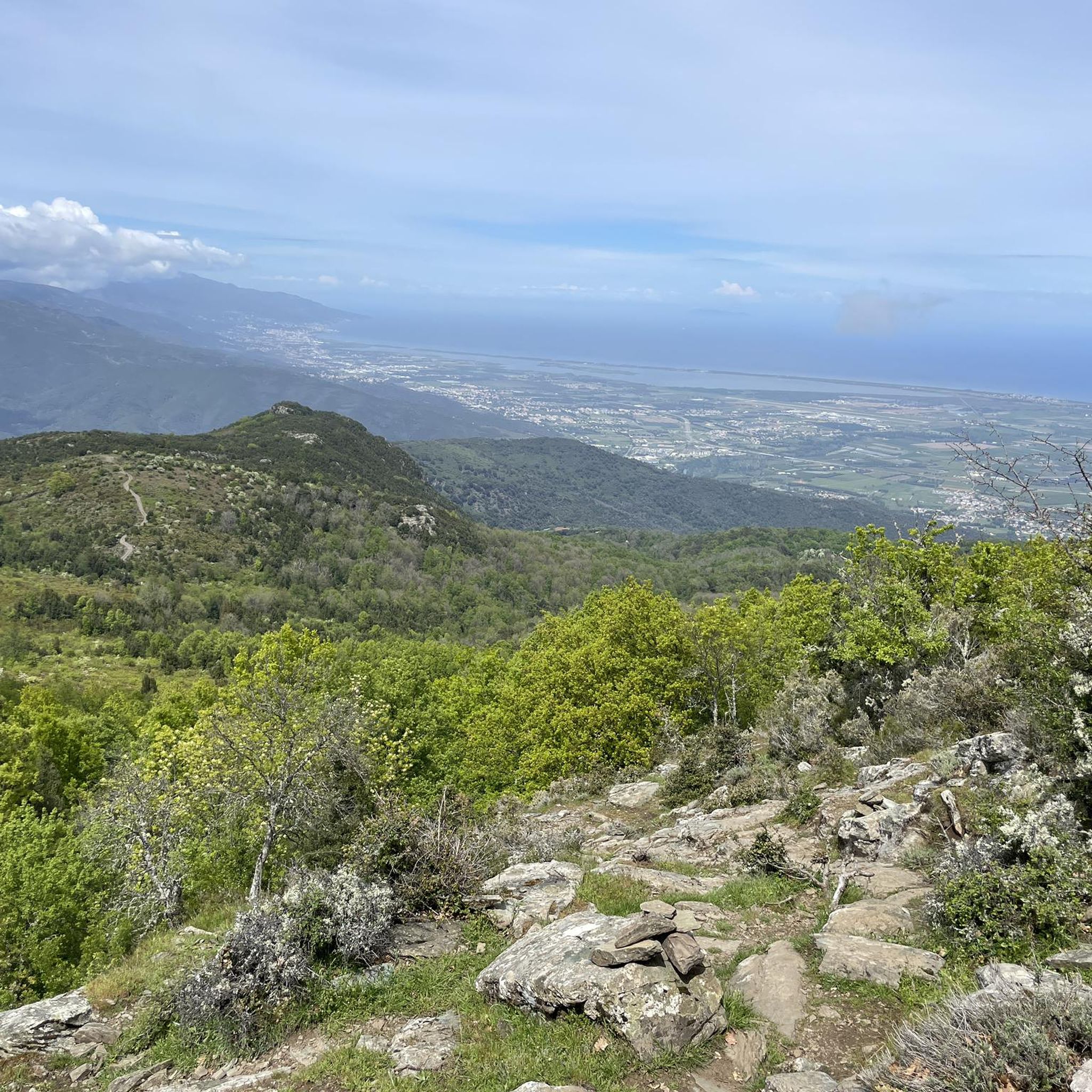
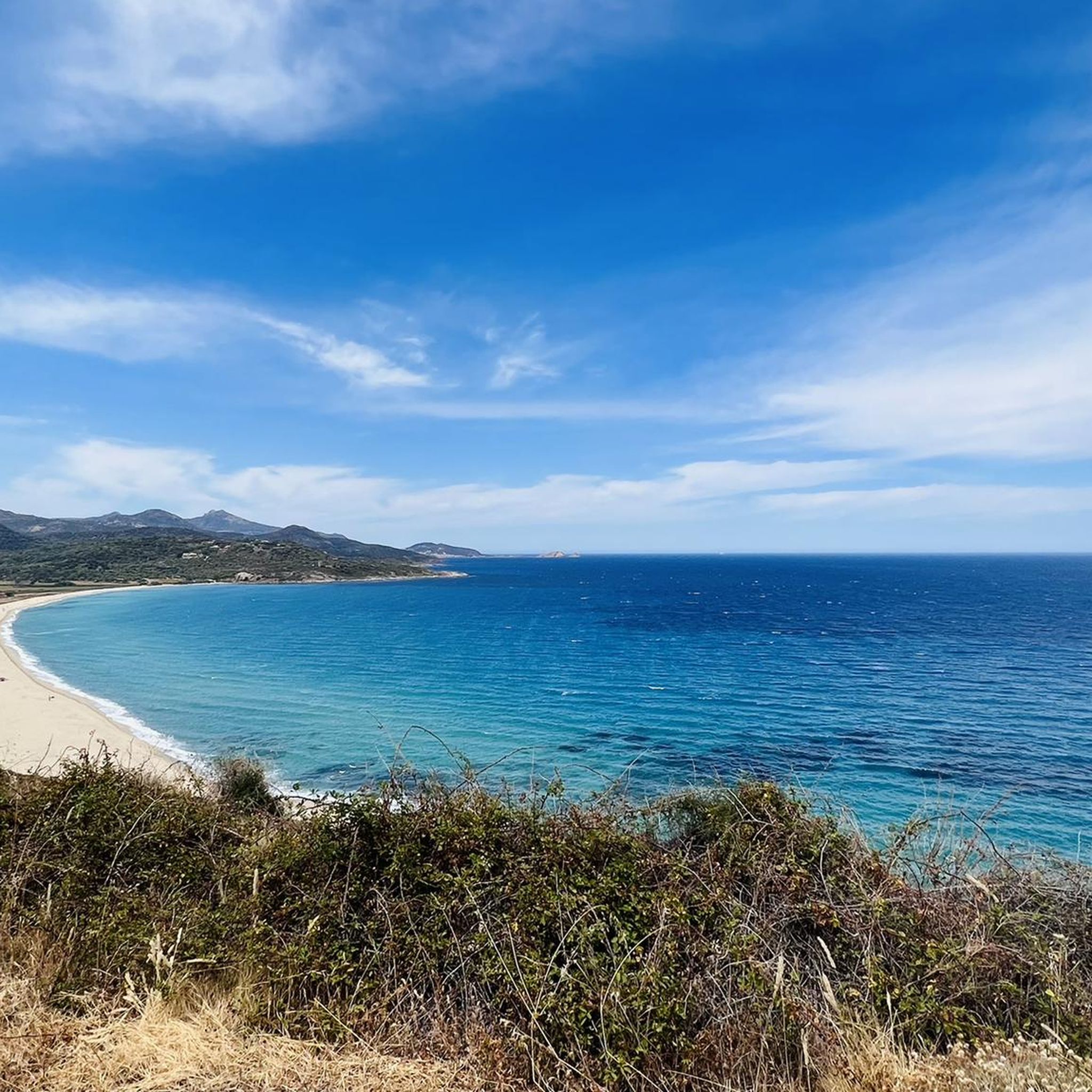

Tips from the Community

Beautiful view of the village overlooking the valley.
0
0
Frequently Asked Questions
How many mountain bike trails are available around Crocicchia?
There are 6 mountain bike trails documented on komoot around Crocicchia. The broader Castagniccia Mare e Monti mountain biking site, which Crocicchia is part of, offers an extensive network of trails, with some sources indicating 124 km to 177 km of tracks.
What are the typical difficulty levels for mountain biking near Crocicchia?
The trails around Crocicchia cater to various skill levels. You'll find 4 moderate routes and 2 difficult routes, offering options for both experienced riders and those looking for a challenge. The region's mountainous terrain ensures varied climbs and descents.
Are there any circular mountain bike routes in the Crocicchia area?
Yes, many of the mountain bike trails around Crocicchia are circular. For example, you can explore the Castello-di-Casinca loop from Pruno, which is 29.3 km long, or the more challenging A Funtanona – Castello-di-Casinca loop from Venzolasca, covering 36.2 km.
What kind of landscapes can I expect to see while mountain biking near Crocicchia?
Mountain biking near Crocicchia offers diverse landscapes, from dense forests of the Castagniccia region to rocky ridges and traditional villages. You'll also encounter views of the Golo River valley, the longest river in Corsica, and the mountainous environment of the Haute-Corse department, including the San Petrone massif.
What natural features or landmarks can I see along the mountain bike trails?
While mountain biking, you'll be in a region rich with natural beauty. Notable features include the Golo River, which forms the eastern boundary of Crocicchia, and the surrounding mountainous terrain. You might also catch glimpses of the Mount San Petrone or the Mount Sant'Angelo Summit. The area is characterized by its chestnut forests and picturesque villages.
What is the best time of year for mountain biking in Crocicchia?
The Haute-Corse region, where Crocicchia is located, offers a Mediterranean climate. Spring and autumn generally provide the most pleasant temperatures for mountain biking, avoiding the intense heat of summer and potential winter snow at higher elevations. Spring also sees higher water levels in the Golo River, which can be a scenic highlight.
Are there any family-friendly mountain bike options near Crocicchia?
While specific 'easy' trails are not listed in the immediate vicinity, the broader Castagniccia Mare e Monti mountain biking site is known to cater to all ages and skill sets, with trails categorized by difficulty. It's advisable to check the difficulty ratings of individual routes, such as the moderate Castello-di-Casinca loop from Pruno, to determine suitability for your family.
What do other mountain bikers enjoy the most about mountain biking in Crocicchia?
The mountain bike trails around Crocicchia are highly rated by the komoot community, with an average score of 5.0 stars. Riders often praise the varied terrain, the challenging climbs and descents, and the opportunity to explore the region's natural beauty, including its dense forests and mountainous environment.
Are there any particularly challenging mountain bike routes for experienced riders?
Yes, experienced riders looking for a challenge will find options. The A Funtanona – Castello-di-Casinca loop from Venzolasca is a difficult 36.2 km path with significant elevation changes, offering challenging climbs and descents through the region's natural features.
Is there public transport access to the mountain biking trailheads near Crocicchia?
Crocicchia is a small commune in a mountainous region. While specific public transport details for trailheads are not readily available, accessing the area typically involves personal vehicles. It's recommended to plan your transport to trail starting points in advance, as public transport options might be limited in rural Corsica.
Where can I find parking for mountain biking near Crocicchia?
As Crocicchia is a small village, parking is generally available within the village itself or at designated starting points for trails in nearby communes. It's advisable to check specific trailhead information or local village parking options when planning your route.
Are there any routes that offer particularly good viewpoints?
The mountainous environment of Crocicchia, with its relief ranging up to 1041 meters, naturally offers numerous scenic viewpoints. Trails like the Tolle Aussichten – A Funtanona loop from Olmo (which translates to 'Great Views') are likely to provide excellent panoramas of the surrounding Castagniccia region and the Golo River valley.
Most popular attractions around Crocicchia

Get inspired with the komoot mobile app


Explore more
Browse the best MTB trails in other regions.
