The best road cycling routes around Crocicchia
4.4
(43)
956
riders
22
rides
Road cycling routes around Crocicchia traverse a mountainous landscape within the Castagniccia region of Haute-Corse, Corsica. The area features elevations ranging from 195 to 1041 meters, with the village itself situated on a rocky ridge. Cyclists encounter winding roads through dense chestnut forests and steep, technical sections. The terrain is characterized by rocky ridges and forested hillsides, offering varied challenges.
Best road cycling routes around Crocicchia
- The most popular road cycling route is Church "San Michele de Murato" – Col…
Last updated: July 12, 2026
4.4
(7)
165
riders
69.2km
03:41
1,290m
1,290m
Hard road ride. Very good fitness required. Mostly well-paved surfaces and easy to ride.
4.2
(10)
270
riders
68.4km
02:53
350m
350m
Moderate road ride. Good fitness required. Mostly well-paved surfaces and easy to ride.

Sign up for free
4.5
(4)
102
riders
79.5km
04:17
1,600m
1,600m
Hard road ride. Very good fitness required. Mostly well-paved surfaces and easy to ride.
4.8
(5)
99
riders
87.7km
05:00
2,030m
2,030m
Hard road ride. Very good fitness required. Mostly well-paved surfaces and easy to ride.
4.4
(5)
46
riders
87.9km
04:58
1,970m
1,970m
Hard road ride. Very good fitness required. Mostly well-paved surfaces and easy to ride.
Get access to more routes and recommendations from other explorers.
Sign up for free
Already have an account?
Our route recommendations are based on thousands of hikes, rides, and runs completed by other people on komoot.
Start today with a free account
Your next adventure awaits.
Login or Signup
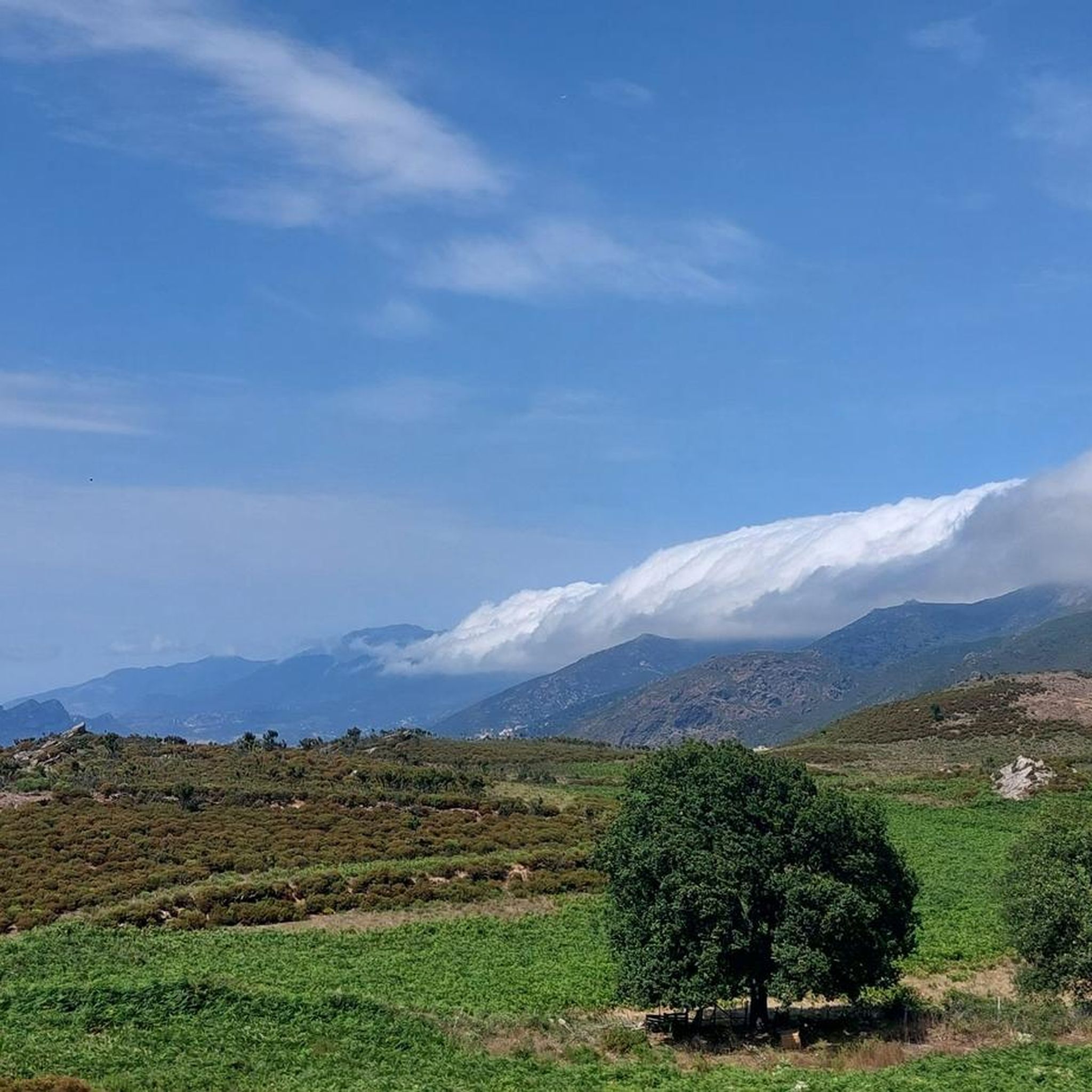
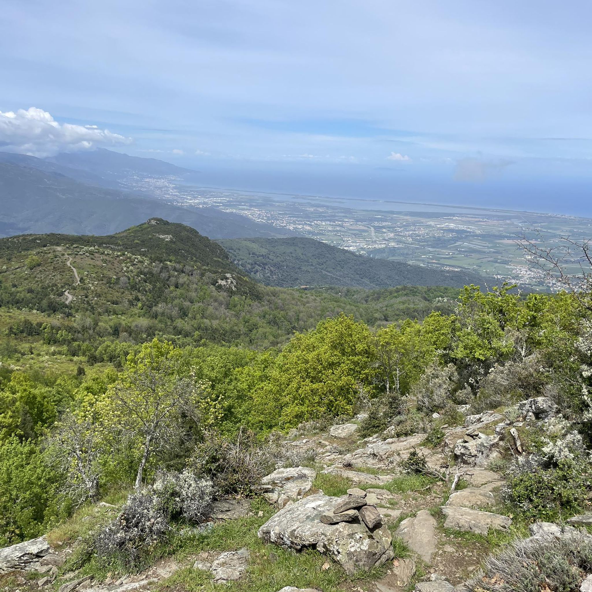

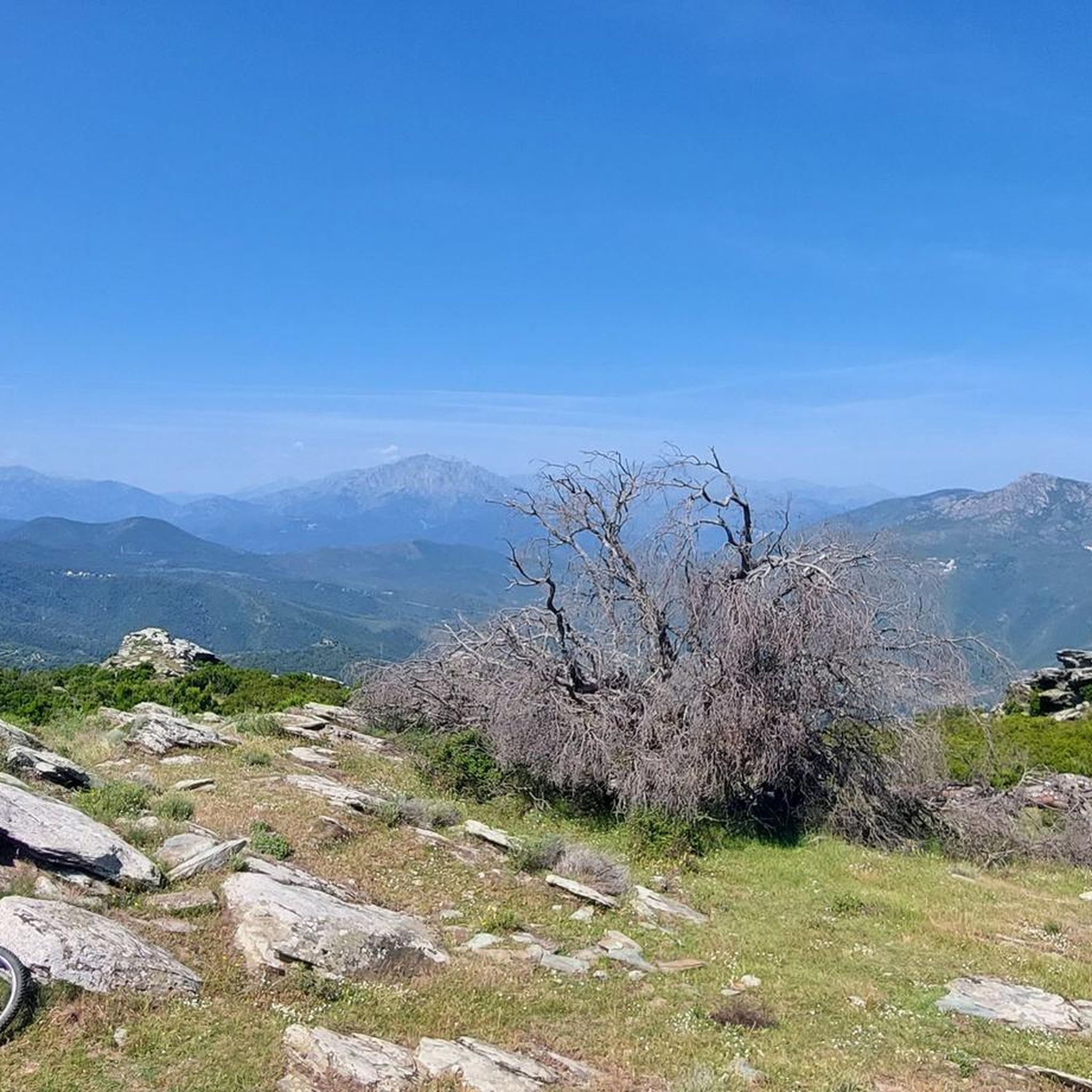
Tips from the Community


great view
0
0

Main village of Ampugnani Café open all year round San Petrone (1767 m) the highest peak of Castagniccia dominates La Porta Beautiful hike 👍👍👍
0
0

The Col de Bigorno is definitely one of the most beautiful passes in Corsica with a high alpine flair! 📸 It is an absolute gem in terms of landscape and also has very little traffic.
0
0
Very beautiful small church made of green serpentine and white limestone blocks.
0
0
Beautiful views from both sides of the bridge
0
0
View to Sant. Florent
0
0
Frequently Asked Questions
How many road cycling routes are available around Crocicchia?
There are over 19 road cycling routes around Crocicchia, offering a variety of experiences through the mountainous landscape of the Castagniccia region. These routes are highly rated by the komoot community, with an average score of 4.3 stars from 34 reviews.
What is the best time of year for road cycling in Crocicchia?
The Castagniccia region, including Crocicchia, is ideal for road cycling during spring and autumn when temperatures are milder. The winding roads through dense chestnut forests provide shaded climbs, making it pleasant even on warmer days, though summer can be quite hot. Winter cycling is possible but be prepared for cooler temperatures and potentially more challenging road conditions.
What is the typical difficulty level for road cycling in the Castagniccia region?
Road cycling in the Castagniccia region is characterized by its mountainous terrain, often featuring steep and technical sections. While there are 7 moderate routes, 12 routes are classified as difficult, involving significant elevation gains. For example, the Church "San Michele de Murato" – Col de Bigorno loop from Casamozza is a difficult route with over 1300 meters of elevation gain.
Are there any notable natural features or viewpoints along the road cycling routes?
Yes, the region is rich in natural beauty. Cyclists can enjoy dense chestnut forests, rocky ridges, and stunning panoramic views. Looming over the region is Mount San Petrone, the highest peak in the Castagniccia range, offering breathtaking vistas that can extend to the sea. The picturesque Struccia waterfall and the Scupiccia plateau are also notable natural highlights in the area.
What historical or cultural landmarks can I explore near Crocicchia while cycling?
The area around Crocicchia is dotted with charming stone-built hillside villages featuring Romanesque chapels and Baroque churches. Notable attractions include Piedicroce, home to the Baroque church of St Peter and St Paul, and the nearby ruins of the Orezza Monastery Ruins. Morosaglia, the birthplace of Pasquale Paoli, also offers cultural insights.
What do other road cyclists appreciate most about cycling in Crocicchia?
The komoot community highly rates road cycling in Crocicchia, with an average score of 4.3 stars. Reviewers often praise the tranquil, forested routes, the challenging climbs, and the spectacular scenery. The low traffic on many of the winding roads is also a frequently mentioned positive aspect.
Are there circular road cycling routes available around Crocicchia?
Yes, many of the road cycling routes around Crocicchia are designed as loops, allowing you to start and end in the same location. Examples include the Beautiful bike route loop from Casamozza, a moderate 55.3 km path, and the more challenging Small Chapel on a Rocky Spur – La Porta Village loop from Casamozza, which covers 79.5 km.
What kind of road surfaces can I expect in the Castagniccia region?
The Castagniccia region features a network of paved secondary roads. While generally good, cyclists should be aware that road surfaces can be damaged in certain areas due to weather conditions. These roads often wind through mountains and forests, providing a mix of smooth stretches and potentially rougher patches.
Can I find routes with significant elevation gains for a challenging ride?
Absolutely. The mountainous terrain around Crocicchia is perfect for cyclists seeking significant elevation gains. Many routes involve substantial ascents, with some difficult trails featuring over 1500 meters of climbing. For instance, the Bocca d'Arcarotta – Ucelluline Waterfall loop from Casamozza boasts over 2300 meters of elevation gain over 113 km.
Are there any specific wildlife encounters to be aware of while cycling?
While cycling through the wild terrain of Castagniccia, it's possible to encounter local wildlife. Cyclists should be mindful of animals such as goats and wild pigs, which can occasionally be found near or on the roads, especially in more remote forested areas.
What are the options for parking when starting a road cycling route in Crocicchia?
While specific parking areas for each route are not detailed, many routes around Crocicchia typically start from larger towns or villages like Casamozza. These locations usually offer public parking options where you can safely leave your vehicle before embarking on your ride.
Are there any cafes or places to rest along the road cycling routes?
The charming hillside villages scattered throughout the Castagniccia region often provide opportunities for rest and refreshment. While specific cafes are not listed for every route, traditional villages like La Porta, which is part of the Small Chapel on a Rocky Spur – La Porta Village loop from Casamozza, typically have small shops or cafes where you can take a break.
Most popular attractions around Crocicchia

Get inspired with the komoot mobile app


Explore more
Browse the best Road cycling routes in other regions.
