The best mountain hikes around Saint-Ours
5.0
(1)
8
hikers
2
hikes
Mountaineering routes around Saint-Ours are primarily found within the French Alps region, offering diverse and challenging terrain. The area is characterized by significant elevation changes, with routes ascending through varied landscapes including dense forests and open mountain slopes. Notable features include the proximity to Mont Revard and the Massif des Bauges, providing a rugged environment for ascents. This region presents a range of mountaineering opportunities, from moderate climbs to more demanding routes.
Best mountaineering routes around Saint-Ours
- The most popular…
Last updated: June 30, 2026
4
hikers
10.4km
04:02
670m
670m
Moderate mountaineering route. Good fitness required. Mostly accessible paths. Sure-footedness required.
5.0
(1)
2
hikers
Moderate mountaineering route. Good fitness required. Mostly accessible paths. Sure-footedness required.

Sign up for free
2
hikers
5.78km
01:38
130m
130m
Easy mountaineering route. Great for any fitness level. Easily-accessible paths. Suitable for all skill levels.
Our route recommendations are based on thousands of hikes, rides, and runs completed by other people on komoot.
Start today with a free account
Your next adventure awaits.
Login or Signup
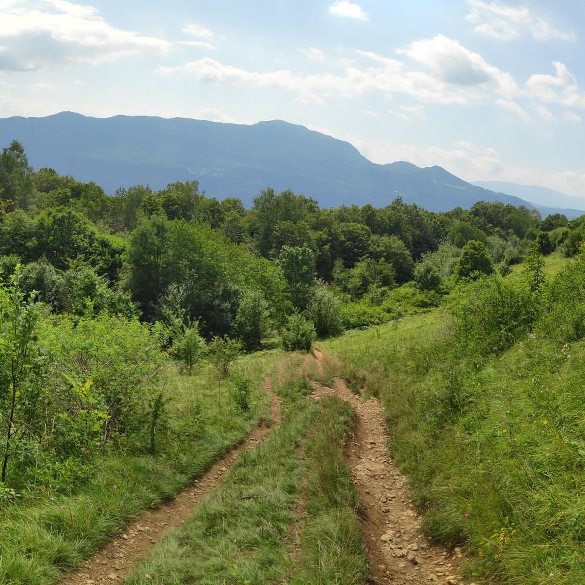
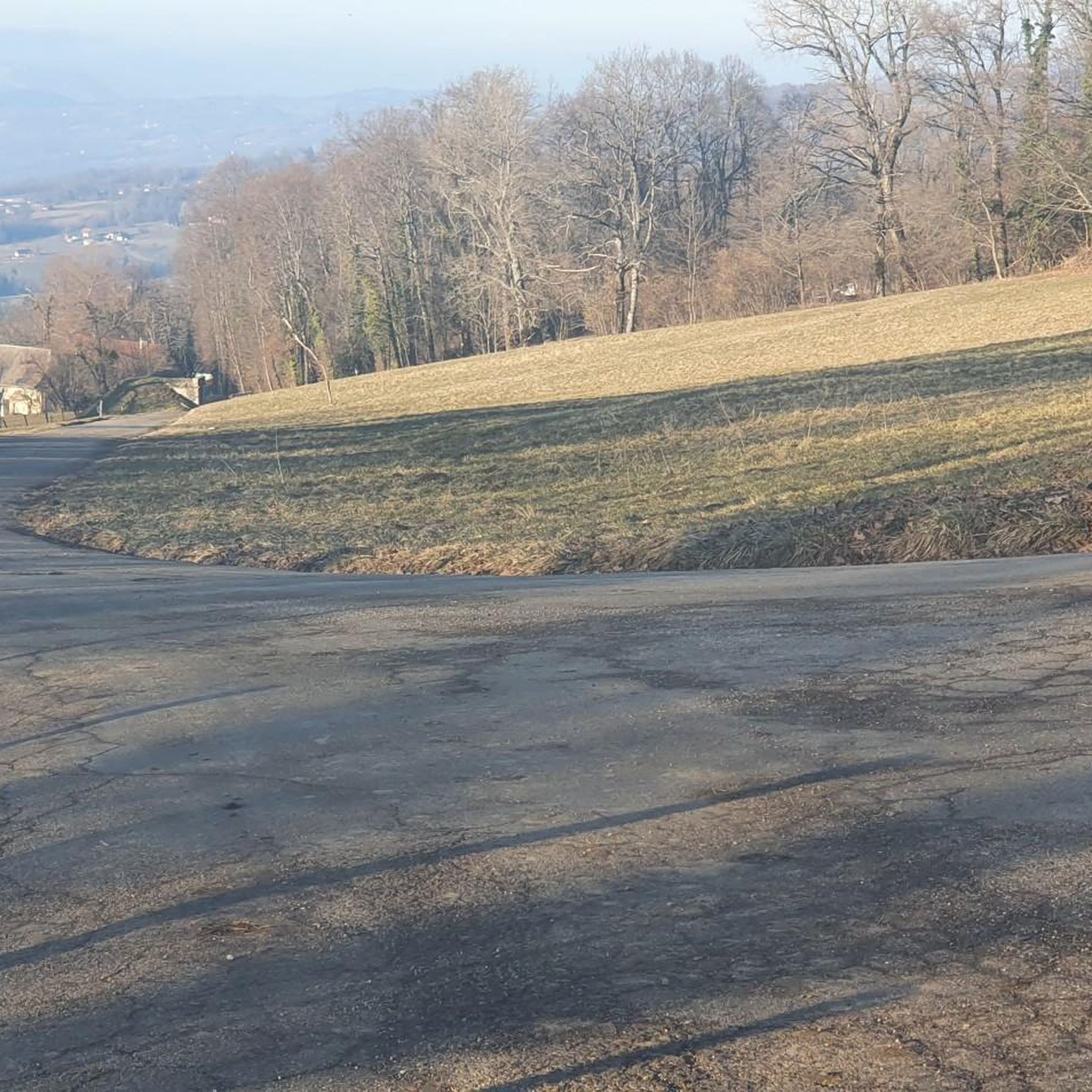
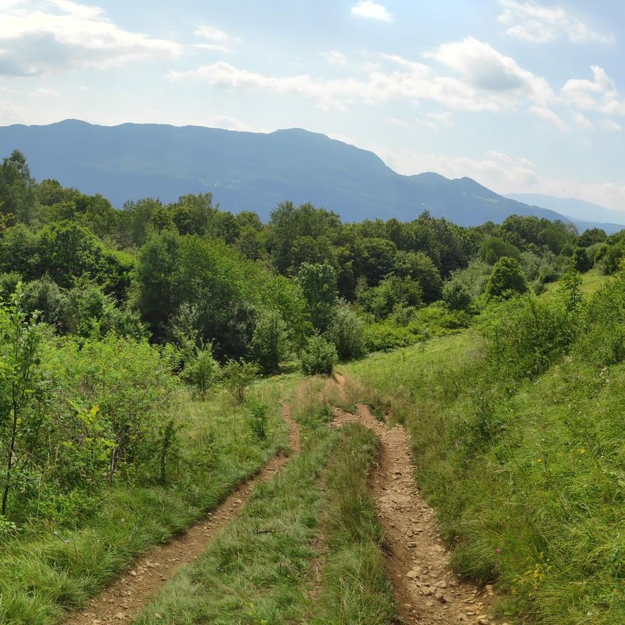
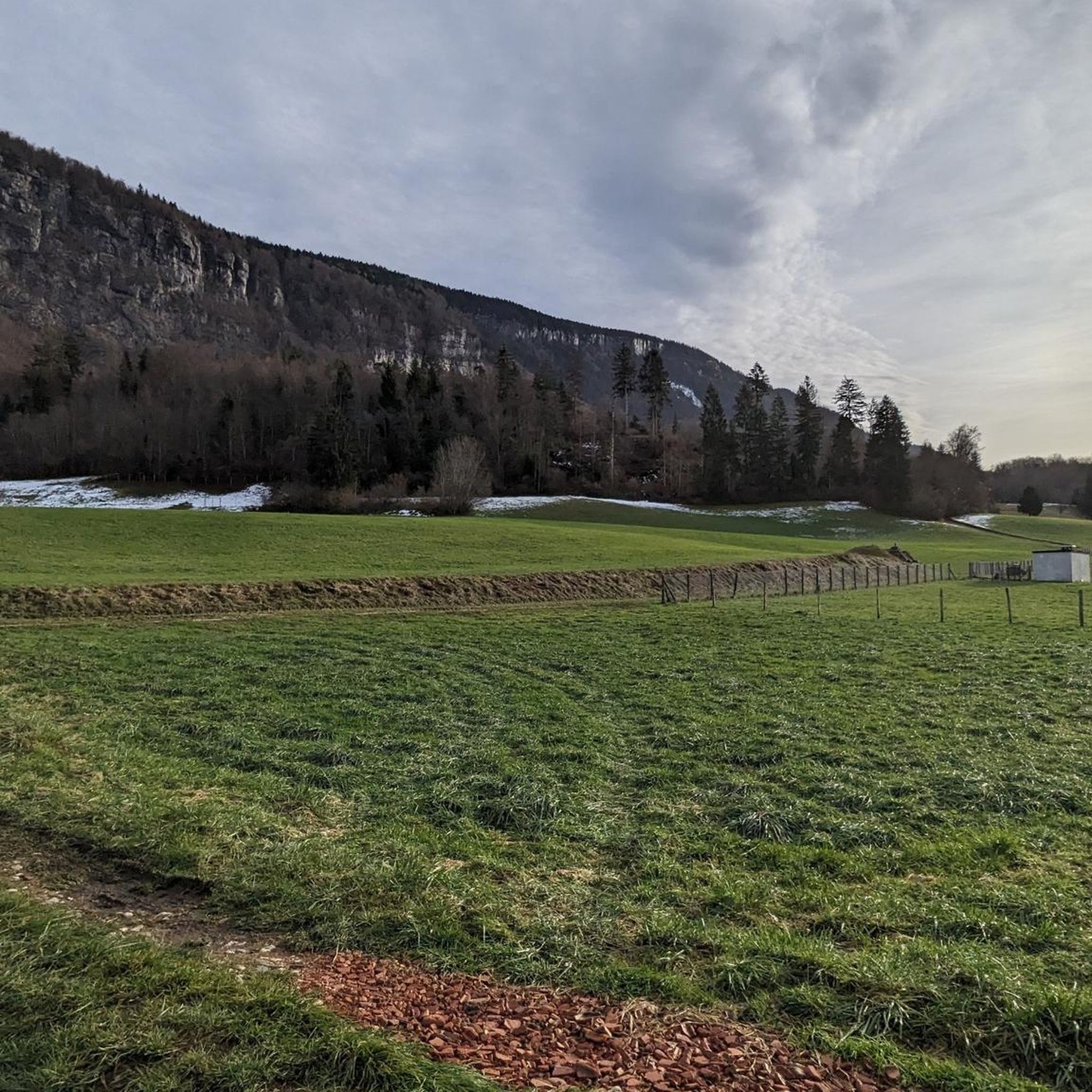

Tips from the Community

Friendly welcome and exceptional view. Ideal for a stop at midday or in the evening. Attention, remember to book. Water point appreciated just below at the farm level.
0
0
Hard and hot... But a beautiful panorama at the summit
0
0
Long and difficult but a great reward at the end
0
0

magnificent viewpoint over Lake Bourget to the Aravis and you can see Annecy on the lower Semnoz
0
0

Great, remember to take something to cover yourself with depending on the time of year…. Climbed in April, there was still snow at altitude. The descent was cool
1
0

Please note: Col de Plainpalais and the descent to Le Noyer are not possible between May 14 and 17. The road is currently being completely resurfaced. The road surface will be even better.
1
0

Wonderful view of the lake, nestled at the foot of the Dent du Chat. From the other side of the Crêt de l'Aigle you can see Mont Blanc.
0
0
Great tour with very varied landscapes Some icy passages especially in the woods we put the hooks To do again this summer.
0
0
Frequently Asked Questions
What kind of terrain can I expect on mountaineering routes around Saint-Ours?
Mountaineering routes in the Saint-Ours region, particularly in the French Alps, feature diverse and challenging terrain. You can expect significant elevation changes, with paths ascending through varied landscapes including dense forests and open mountain slopes. The area is known for its rugged environment, offering a mix of moderate climbs and more strenuous routes.
Are there any beginner-friendly mountaineering options near Saint-Ours?
Yes, while many routes offer a challenge, there are options suitable for those looking for an easier introduction to mountaineering. For example, the Semnoz ascent – Crêt de l'Aigle loop from Les Alpages is rated as easy, covering 5.8 km and typically taking about 1 hour 38 minutes to complete. It leads through mountain pastures and offers views towards Crêt de l'Aigle.
What are some challenging mountaineering routes in the Saint-Ours area?
For those seeking a challenge, routes like La Culaz – Fenêtre des Pendants loop from Arith offer significant elevation gain over 10.3 km, typically requiring over 4 hours to complete. Another moderate option is the 🪑 Bench with magnificent view – Ascent of Mont Revard loop from Mont Revard, which provides rewarding vistas after a steady ascent over 9.2 km.
Are there any circular mountaineering routes available?
Yes, several routes around Saint-Ours are designed as loops, allowing you to start and end at the same point. Examples include the La Culaz – Fenêtre des Pendants loop from Arith and the 🪑 Bench with magnificent view – Ascent of Mont Revard loop from Mont Revard, both offering a complete circuit.
What natural features or landmarks can I expect to see along the mountaineering routes?
The Saint-Ours region is rich in natural beauty and offers stunning viewpoints. You can expect panoramic views from summits like Mount Revard and Col du Semnoz summit. The routes often traverse varied landscapes, including mountain pastures and dense forests, providing a diverse visual experience.
What do other mountaineers say about the routes in Saint-Ours?
The mountaineering routes around Saint-Ours are highly regarded by the komoot community, with an average score of 5.0 stars from reviews. Users often praise the challenging ascents, varied forest paths, and the rewarding open mountain vistas. Over 8 mountaineers have used komoot to explore this varied terrain.
Are there any huts or refuges along the mountaineering trails for a break or overnight stay?
Yes, the area around Saint-Ours offers several options for breaks or potential overnight stays. You can find places like the Semnoz Refuge, Alpage de la Cluse, and Chalets Mermet. These can be convenient spots to rest and refuel during your mountaineering adventure.
What is the best time of year for mountaineering in Saint-Ours?
The French Alps region, where Saint-Ours is located, generally offers excellent mountaineering conditions from late spring through early autumn. During these months, the weather is typically more stable, and trails are clear of snow, making for safer and more enjoyable ascents. Always check local weather forecasts and trail conditions before heading out.
How many mountaineering routes are available on komoot for Saint-Ours?
Komoot features several dedicated mountaineering routes around Saint-Ours, offering a range of experiences from easier climbs to more strenuous ascents. These routes are designed to showcase the region's diverse volcanic landscapes and challenging terrain.
Are there any specific peaks or climbs that are particularly notable in the Saint-Ours area?
Yes, the region is known for its prominent peaks and challenging climbs. Mount Revard is a significant feature, offering rewarding vistas. The Col du Semnoz summit and Crêt de Châtillon Summit are also notable points of interest for mountaineers in the vicinity.
What are the typical distances and durations for mountaineering routes here?
The routes vary in length and duration to suit different fitness levels. For instance, an easier route like the Semnoz ascent – Crêt de l'Aigle loop from Les Alpages is about 5.8 km and takes around 1 hour 38 minutes. More challenging routes, such as the La Culaz – Fenêtre des Pendants loop from Arith, can extend to 10.3 km and require over 4 hours to complete.
Most popular routes around Saint-Ours
Most popular attractions around Saint-Ours

Get inspired with the komoot mobile app


Explore more
Browse the best Mountain Hikes & Routes in other regions.
