The best mountain hikes around Chapeiry
4.5
(5)
18
hikers
4
hikes
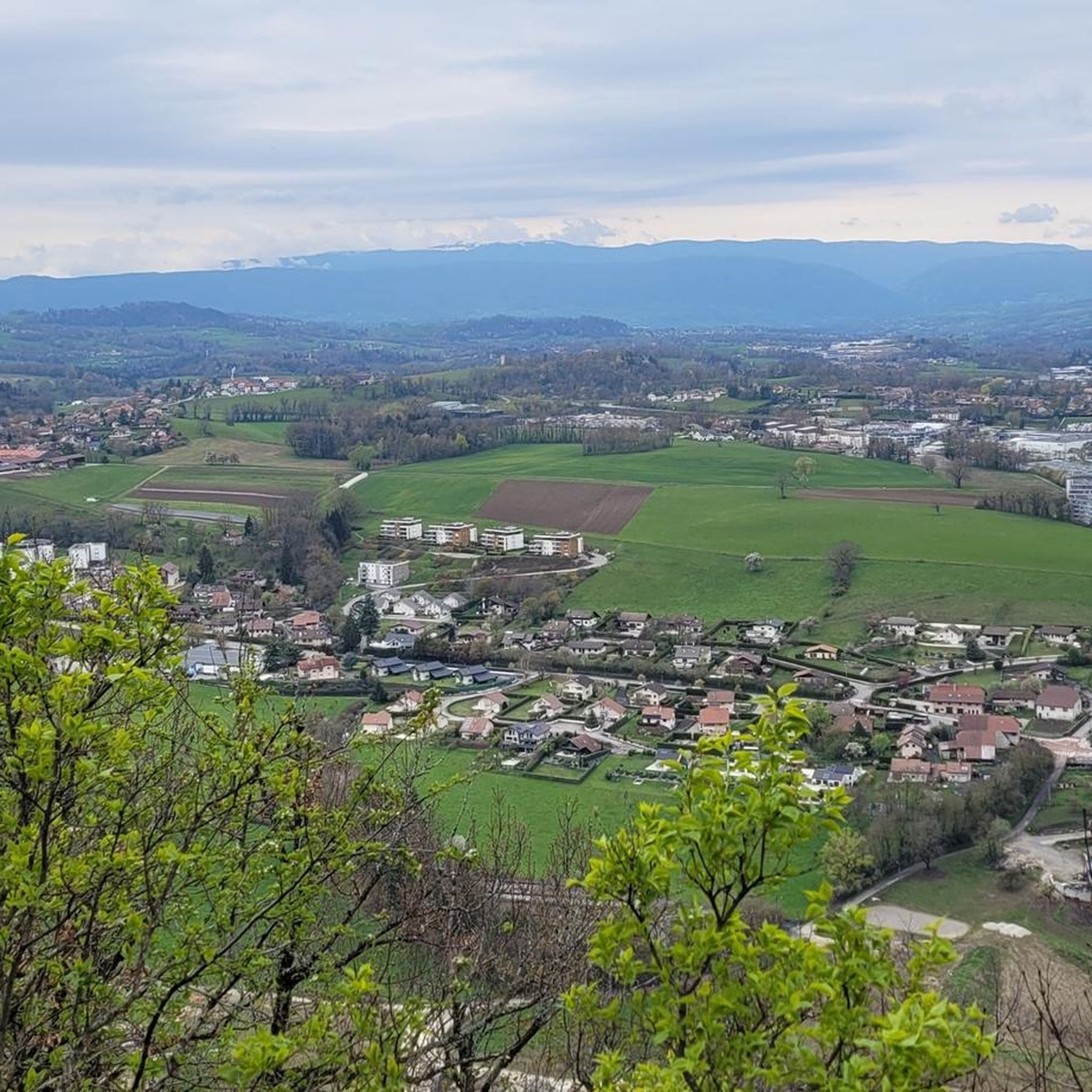
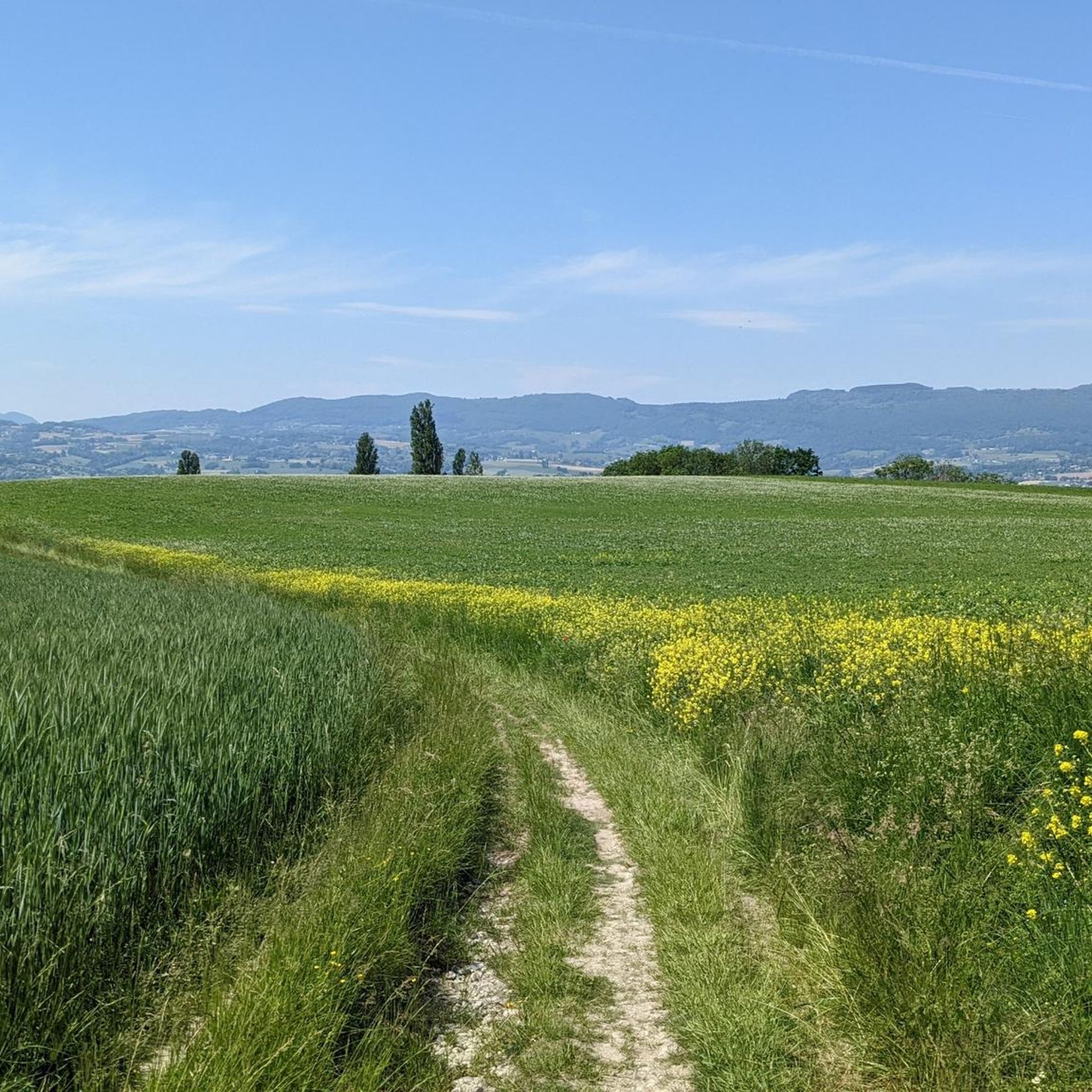
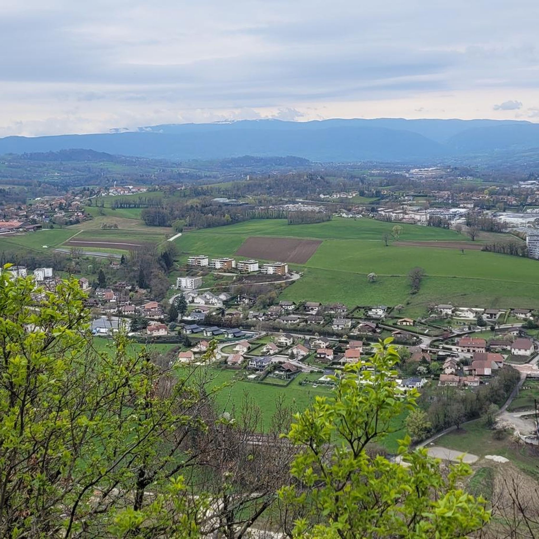
Mountaineering around Chapeiry offers access to the diverse landscapes of the Haute-Savoie department in France. The region is characterized by rolling green hills, dense forests, and distant views of the majestic Alps, including Semnoz mountain. Situated at an average altitude of 600 meters, Chapeiry serves as a strategic starting point for exploring the wider Alpine environment, providing varied terrain for outdoor activities. Its location offers proximity to renowned mountaineering areas within the French Alps.
Best mountaineering routes around Chapeiry
- The…
Last updated: July 1, 2026
4.0
(4)
9
hikers
Hard mountaineering route. Very good fitness required. Mostly accessible paths. Sure-footedness required.
6
hikers
Moderate mountaineering route. Good fitness required. Easily-accessible paths. Suitable for all skill levels.

Sign up for free
2
hikers
5.78km
01:38
130m
130m
Easy mountaineering route. Great for any fitness level. Easily-accessible paths. Suitable for all skill levels.
5.0
(1)
1
hikers
8.04km
02:33
330m
330m
Moderate mountaineering route. Good fitness required. Easily-accessible paths. Suitable for all skill levels.
Our route recommendations are based on thousands of hikes, rides, and runs completed by other people on komoot.
Start today with a free account
Your next adventure awaits.
Login or Signup

Tips from the Community


A sumptuous panorama of Mont-Blanc
0
0
Long and difficult but a great reward at the end
0
0

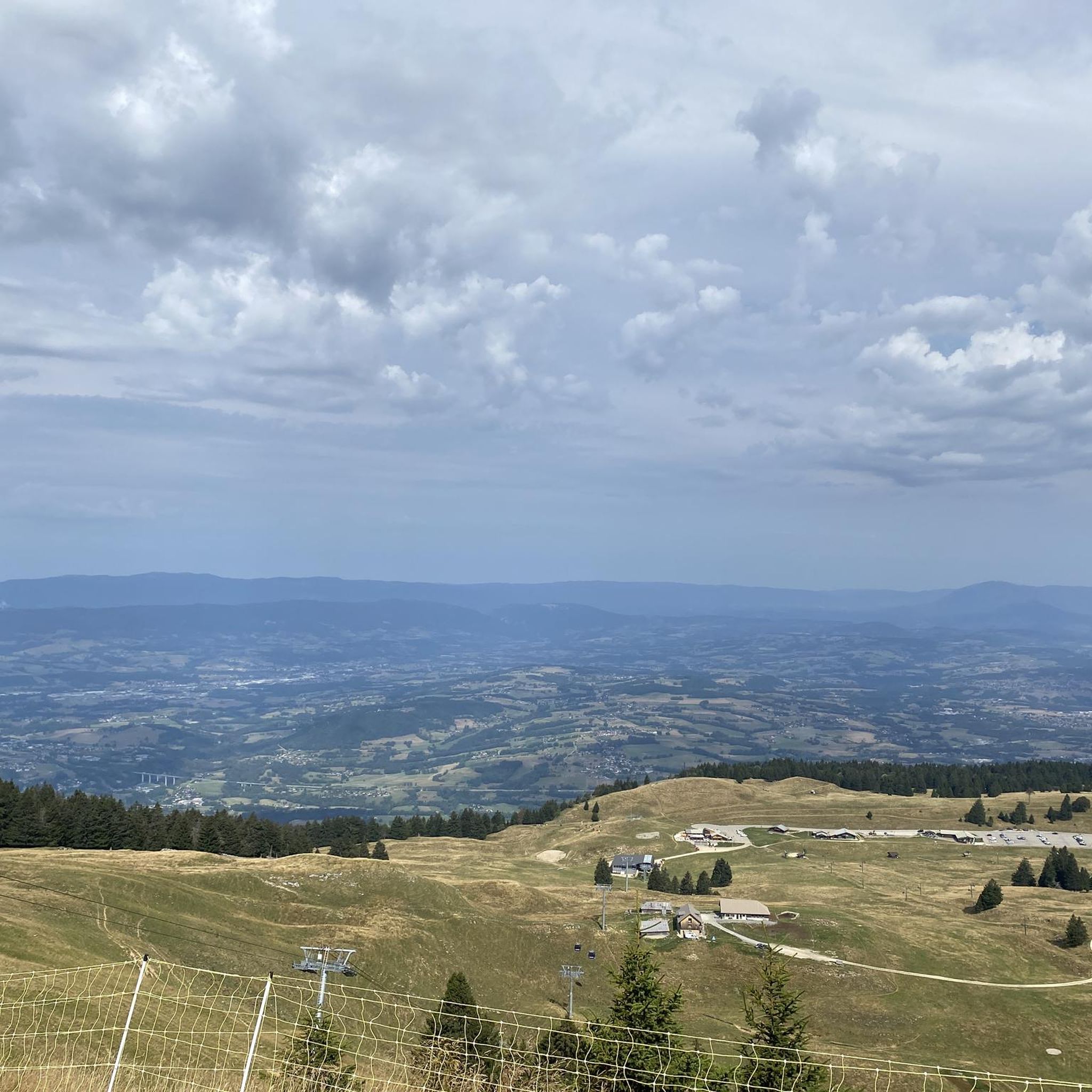
Breathtaking and incredible view of the Annecy basin.
0
0

Please note that since 2024, a decree prohibits access to the parking lot and prevents parking along the road. They pass by and issue fines otherwise.
0
0

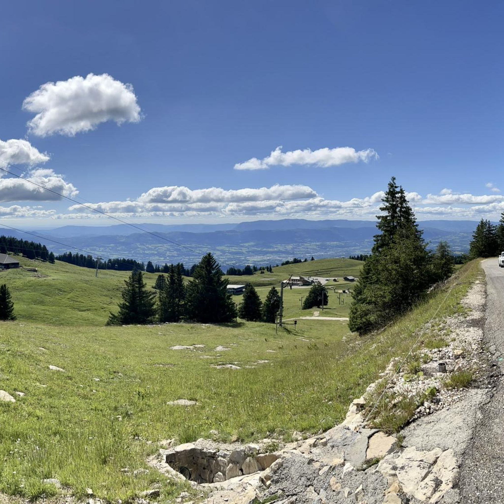
Highest point of Semnoz. Amazing views of Alps and surrounding countryside
0
0

Calm at altitude... On site, you will find hikers, cows, fresh air, grass, nature, parking lots and cyclists. Everything is there to relax and recharge your batteries. By respecting the signs regarding bicycles, the dangers of cows, the pedestrian routes, the mountain will be for everyone. A panoramic view of the area offers 360 degrees of beauty via a hike. Numerous on-site parking. Trail running here is great with multiple down and up hills through the forest. 👌
1
0

Please note, leaving the city, the upper parking lot is closed.
1
0
Frequently Asked Questions
How many mountaineering routes are available around Chapeiry?
There are 4 distinct mountaineering routes around Chapeiry listed in this guide, offering a range of difficulties from easy to difficult. These routes are highly rated by the komoot community, with an average score of 4.5 stars.
What kind of terrain can I expect on mountaineering routes near Chapeiry?
The mountaineering routes around Chapeiry are characterized by rolling green hills, dense forests, and offer distant views of the majestic Alps, including Semnoz mountain. The area provides varied terrain suitable for different outdoor activities and skill levels.
What is the best time of year for mountaineering in the Chapeiry area?
Chapeiry's location in Haute-Savoie makes it suitable for mountaineering during the warmer months, typically from late spring through early autumn, when trails are clear of snow and weather conditions are more stable. This allows for comfortable exploration of the diverse landscapes.
Are there options for beginners or those looking for easier mountaineering routes?
Yes, there is an easy mountaineering route available: the Semnoz ascent – Crêt de l'Aigle loop from Les Alpages. This 3.59-mile (5.8 km) trail leads through the lower slopes of Semnoz and can be completed in about 1 hour 38 minutes, making it a great option for those seeking a less strenuous experience.
What makes Chapeiry a good base for mountaineering, even if routes don't start directly there?
Chapeiry serves as an excellent strategic starting point due to its proximity to major Alpine regions like the Mont Blanc massif and the Aravis and Bauges massifs. While technical climbs might not start directly in Chapeiry, nearby Annecy is a hub for mountain guides offering a wide array of activities. The local trails also provide an excellent training ground to build stamina.
Are there any circular mountaineering routes available?
Yes, several routes are circular. For example, the difficult View of the Aravis and Bauges – Mount Baron loop from Annecy offers expansive views. Another moderate option is the Col du Semnoz summit – Crêt de Châtillon Summit loop from Maison du Semnoz, which leads to panoramic vistas.
Can I find routes with panoramic views or notable landmarks?
Absolutely. Many routes offer stunning views, such as the View of the Aravis and Bauges – Mount Baron loop from Annecy, which provides expansive views of the Aravis and Bauges massifs. The Col du Semnoz summit – Crêt de Châtillon Summit loop from Maison du Semnoz also leads to summits with panoramic vistas. Additionally, the Gélinottes Viewpoint – Les Puisots loop from Annecy offers another opportunity for scenic outlooks.
Are there any family-friendly mountaineering options near Chapeiry?
For families, the easier trails are generally more suitable. The Semnoz ascent – Crêt de l'Aigle loop from Les Alpages is an easy 3.59-mile (5.8 km) route that can be completed in under two hours, making it a good choice for families looking for a less demanding experience.
Are there any routes that pass by waterfalls or other unique natural features?
While not directly on the listed mountaineering routes, the region around Chapeiry is home to the beautiful 'Le Voile de la Mariée' (The Wedding Veil) waterfall. A rewarding hike from Chapeiry leads to this cascading waterfall, offering a refreshing spot for a dip or picnic. This trail also provides panoramic views of the valley and wildflowers in season.
What nearby attractions can I explore after a mountaineering trip?
After your mountaineering adventure, you can explore several nearby attractions. Consider visiting Lake Annecy, the charming Annecy Old Town, or take a stroll along the Greenway along the shore of Lake Annecy. The Leschaux Pass also offers scenic views.
What do other mountaineers enjoy most about the routes around Chapeiry?
The mountaineering routes around Chapeiry are highly rated by the komoot community, with an average score of 4.5 stars from more than 5 reviews. Mountaineers often praise the diverse landscapes, from rolling green hills to dense forests, and the expansive views of the Alps and massifs like Aravis and Bauges.
Most popular routes around Chapeiry
Most popular attractions around Chapeiry

Get inspired with the komoot mobile app


Explore more
Browse the best Mountain Hikes & Routes in other regions.
