The best gravel rides around Roquebillière
4.8
(4)
53
riders
5
rides
Gravel biking around Roquebillière offers diverse terrain within the Vésubie Valley, situated at 600 meters altitude. The region provides access to the Mercantour National Park, featuring high mountains and varied landscapes. Routes often combine paved and unpaved surfaces, including forest tracks and dirt roads, ideal for gravel bikes. The area is characterized by significant elevation changes and mountain passes, providing challenging and rewarding rides.
Best gravel bike trails around Roquebillière
- The most popular gravel bike trail is Crete du ferion…
Last updated: July 15, 2026
4.5
(2)
21
riders
39.8km
03:29
1,290m
1,290m
Hard gravel ride. Very good fitness required. You may need to push your bike for some segments of this route.
8
riders
38.2km
03:51
1,300m
1,300m
Hard gravel ride. Very good fitness required. Mostly paved surfaces. Suitable for all skill levels.

Sign up for free
5.0
(2)
12
riders
Hard gravel ride. Very good fitness required. Mostly paved surfaces. Suitable for all skill levels.
6
riders
77.2km
06:39
2,500m
2,510m
Hard gravel ride. Very good fitness required. Mostly paved surfaces. Suitable for all skill levels.
4
riders
89.6km
07:59
2,860m
2,870m
Hard gravel ride. Very good fitness required. Mostly paved surfaces. Suitable for all skill levels.
Our route recommendations are based on thousands of hikes, rides, and runs completed by other people on komoot.
Start today with a free account
Your next adventure awaits.
Login or Signup

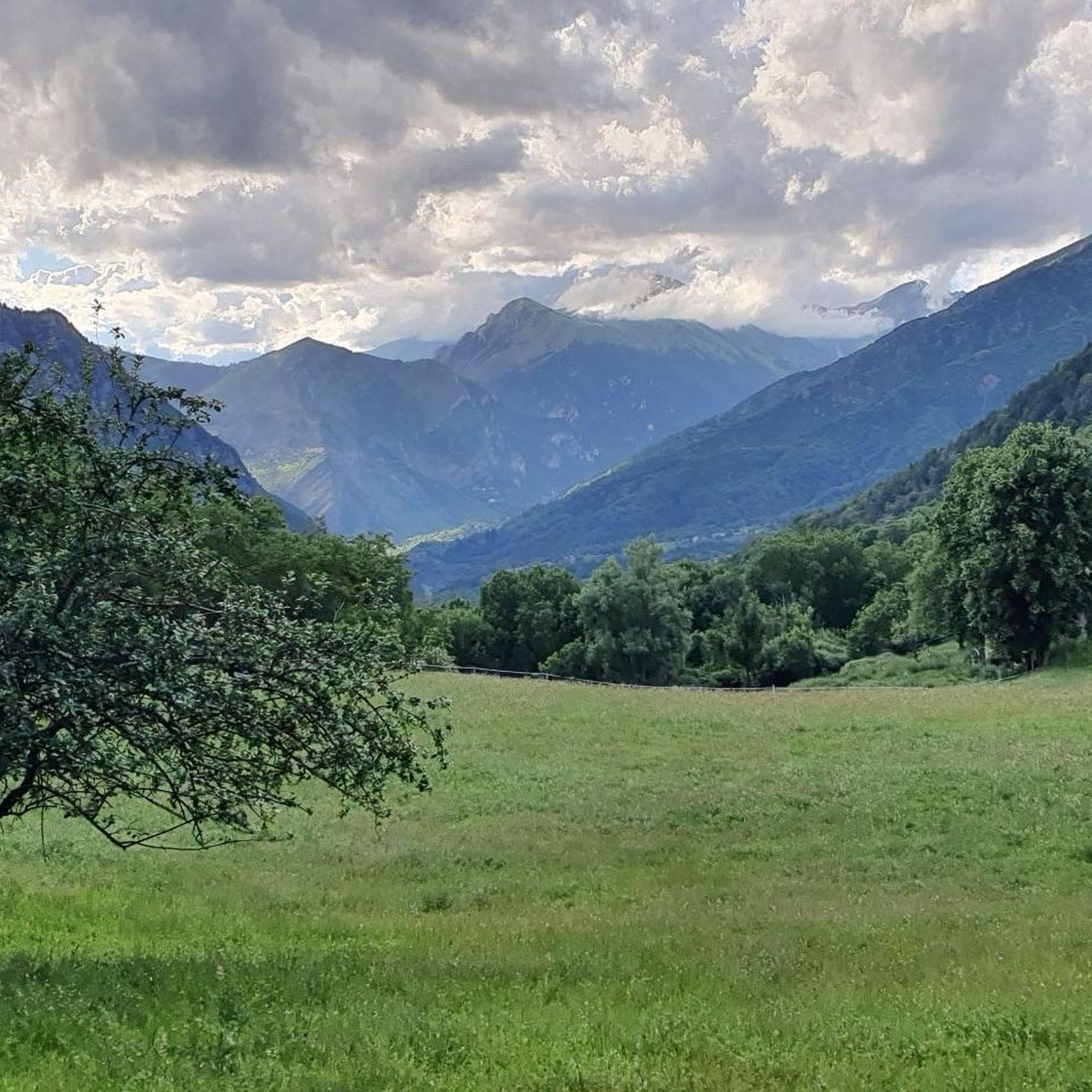
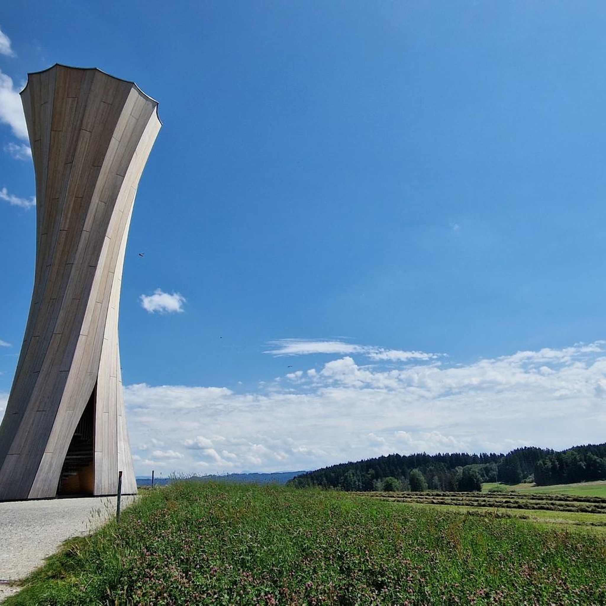
Other adventures around Roquebillière

Tips from the Community

I did it via Coaraze. Magnificent scenery and a beautiful view of the event and its surrounding area from the top of Ferion. A moderately easy hike. The elevation changes from 500 meters to 1400 meters.
0
0

The Col Saint-Martin Pass, or Col de la Colmiane, is a mountain pass in the Southern Alps located at an altitude of 1,500 meters in the Alpes-Maritimes department of France. It provides a year-round road link between the Tinée Valley to the west and the Vésubie Valley to the east.
0
0
The Col Saint-Martin Pass, or Col de la Colmiane, is a mountain pass in the Southern Alps located at an altitude of 1,500 meters in the Alpes-Maritimes department of France. It provides a year-round road link between the Tinée Valley to the west and the Vésubie Valley to the east.
0
0
Col Saint Martin (el. 1500 m.) is a high mountain pass in the Alps in the department of Alpes-Maritimes in France.[1] It is traversed by the D-2205 highway.[2] The place has been crossed at the Tour de France road cycling race in 1973, 1975 and 2020, as well as at multiple editions of the Paris-Nice.
0
0

A charming town with beautiful Mediterranean-style houses. Fountains babble at the town hall square, and thanks to hotels and restaurants, the square is bustling with life.
0
0
In July during the week there was almost no traffic, making it a completely relaxed drive up.
0
0
Currently (as of July 2025), there's a lot of excavation and construction going on here. For cycling emergencies, there's a local sports shop that carries all kinds of cycling supplies and was able to quickly help us with our bike repairs: https://sport-addict06.fr/
2
0

The ruins of an ancient haunted village, where only the bravest dare to spend the night...
0
0
Frequently Asked Questions
What kind of terrain can I expect on gravel bike trails around Roquebillière?
The gravel biking routes in Roquebillière offer a varied terrain, typical of the Vésubie Valley and the Mercantour National Park. You'll encounter a mix of paved and unpaved surfaces, including forest tracks, dirt roads, and trails. Expect significant elevation changes and challenging climbs, some with gradients between 5% and 9%, providing both physical challenge and stunning vistas.
Are there any beginner-friendly gravel bike trails in the Roquebillière area?
While many routes in the Roquebillière area are rated as difficult due to significant elevation gain, there is at least one moderate option available. The region is known for its challenging mountain passes and varied terrain, so beginners should carefully check route details for elevation and distance before setting out. For example, the route Crete du ferion – Saut des Français Viewpoint loop from Utelle is rated difficult, but offers a good representation of the area's terrain.
What are some notable natural features or viewpoints I can experience on a gravel bike ride?
The region is rich in natural beauty. You can expect panoramic views of the Mercantour National Park and the Vésubie and Tinée valleys. Mountain passes like the Col Saint-Martin (Col de la Colmiane) offer spectacular vistas. Routes such as Crete du ferion – Saut des Français Viewpoint loop from Utelle are specifically highlighted for their panoramic views.
Are there any historical landmarks or attractions along the gravel bike routes?
Yes, the area around Roquebillière offers several historical points of interest. You might encounter sites like the church of Saint-Michel-de-Gast, known for its 800 years of history and Gothic architecture, or Fort Gordolon, part of the Maginot Line in the Alps. The old village of Roquebillière itself, despite past events, retains its charm and history, including the White Penitents chapel.
What is the best time of year to go gravel biking in Roquebillière?
Roquebillière, situated at 600 meters altitude, offers varied conditions. While the region is accessible for much of the year, the best time for gravel biking is typically from spring through autumn. During these seasons, you'll find more favorable weather and clearer mountain passes. Winter can bring snow to higher elevations, making some routes more challenging or inaccessible.
Are there any loop trails for gravel biking around Roquebillière?
Yes, many of the gravel bike routes in the area are designed as loops. For instance, you can explore the Roquebillière town centre – Les Granges de la Brasque loop from La Bollène-Vésubie, which traverses varied terrain through the Vésubie Valley. Another option is the Col de la Colmiane – Saint-Martin Pass (La Colmiane) loop from Saint-Martin-Vésubie, which takes you through mountain passes.
What do other gravel bikers say about the trails in Roquebillière?
The gravel biking routes in Roquebillière are highly rated by the komoot community, with an average score of 4.75 stars from 3 reviews. Over 60 gravel bikers have used komoot to explore the area, often praising the challenging terrain, significant elevation gains, and the stunning panoramic views of the Mercantour National Park and Vésubie Valley.
Are there any places to cool off or swim near the gravel bike routes?
For post-ride relaxation, the three biological pools located on the banks of the Vésubie river offer a refreshing natural attraction. These pools provide a unique opportunity to cool off and unwind after exploring the challenging gravel trails.
Can I find accommodation or places to eat in Roquebillière after a ride?
Roquebillière, as a village in the Vésubie Valley, offers options for accommodation and dining. Additionally, the nearby spa town of Berthemont-les-Bains, just 7 km away, provides a peaceful setting and sulfur water cures, which could be a relaxing option after an arduous ride.
What are some of the longer, more challenging gravel bike routes in the area?
For experienced riders seeking a significant challenge, routes like Col de la Colmiane – Saint-Martin Pass (La Colmiane) loop from Roquebillière stand out. This particular route covers nearly 90 km with over 2800 meters of elevation gain, typically taking over 9 hours to complete. Another demanding option is the Col à Utelle – Lantosque loop from La Bollène-Vésubie, which is over 77 km long with more than 2500 meters of climbing.
Are there any lakes or huts accessible from the gravel biking trails?
Yes, the region offers access to several beautiful lakes and mountain huts. Notable lakes include Lac de Trécolpas, Lake La Fous, and Lac des Merveilles. For those looking for a stop or overnight stay, huts like Boréon mountain hut, Refuge de la Cougourde, and Nice Refuge are available.
Is public transport available to access the gravel biking trails around Roquebillière?
Roquebillière is nestled in the Vésubie Valley. While specific public transport options directly to trailheads might vary, the village itself is generally accessible. It's advisable to check local bus schedules or regional transport services for connections to Roquebillière and nearby starting points for the trails.
Most popular routes around Roquebillière
Most popular attractions around Roquebillière

Get inspired with the komoot mobile app


Explore more
Browse the best Gravel rides in other regions.
