The best gravel rides around Molines-En-Queyras
4.9
(25)
339
riders
18
rides
Gravel biking around Molines-En-Queyras offers a diverse mountainous terrain within the Queyras Regional Natural Park. The region is characterized by high-altitude landscapes, including prominent mountain passes like Col Agnel and Col Fromage, and valleys carved by rivers such as the Aigue Agnelle. Extensive networks of forest roads and gravel paths provide varied surfaces for gravel cycling, with elevations ranging significantly.
Best gravel bike trails around Molines-En-Queyras
- The most popular gravel bike trail is Lac de Pontechianale – Chianale loop from…
Last updated: October 20, 2026
5.0
(2)
67
riders
93.2km
07:30
2,850m
2,850m
Hard gravel ride. Very good fitness required. Mostly paved surfaces.
4.8
(4)
24
riders
30.1km
02:31
820m
820m
Hard gravel ride. Very good fitness required. Mostly paved surfaces.

5.0
(2)
34
riders
110km
09:02
3,300m
3,300m
Hard gravel ride. Very good fitness required. Mostly paved surfaces.
5.0
(1)
17
riders
Hard gravel ride. Very good fitness required. Mostly paved surfaces.
5.0
(1)
23
riders
38.4km
03:04
1,170m
1,170m
Hard gravel ride. Very good fitness required. Mostly paved surfaces.
Get access to more routes and recommendations from other explorers.
Already have an account?
Our route recommendations are based on thousands of hikes, rides, and runs completed by other people on komoot.
Start today with a free account
Your next adventure awaits.
Popular around Molines-En-Queyras
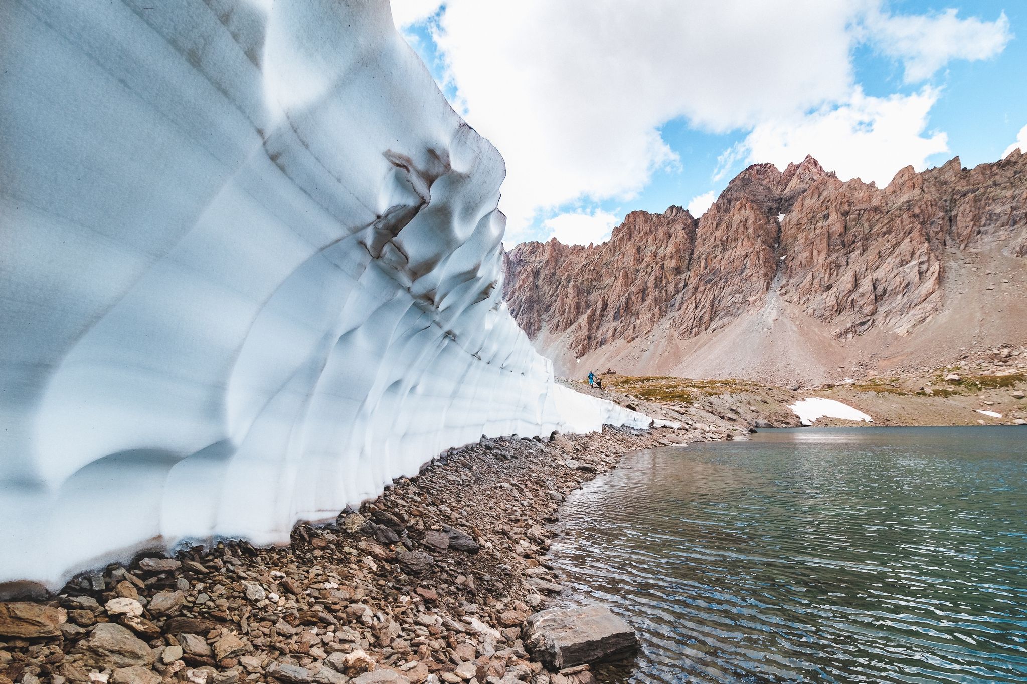
High mountain escapades — 15 peaks over 3,000m in the Alps
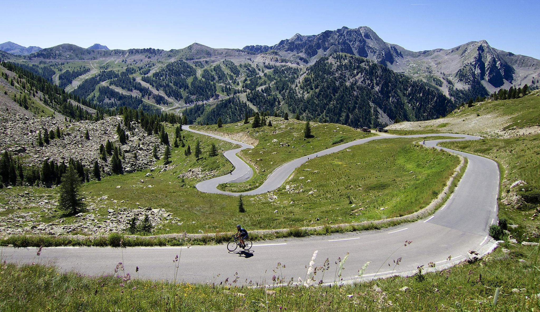
Conquer peaks – 7 Majors challenge between France and Italy
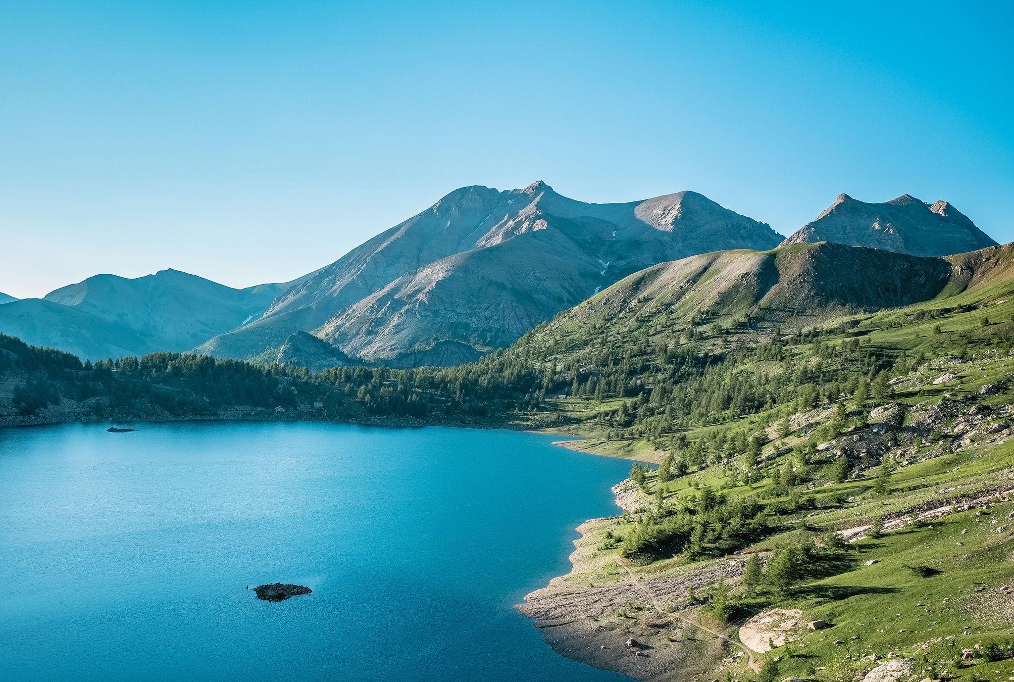
The most beautiful MTB and hiking tours in the French Maritime Alps
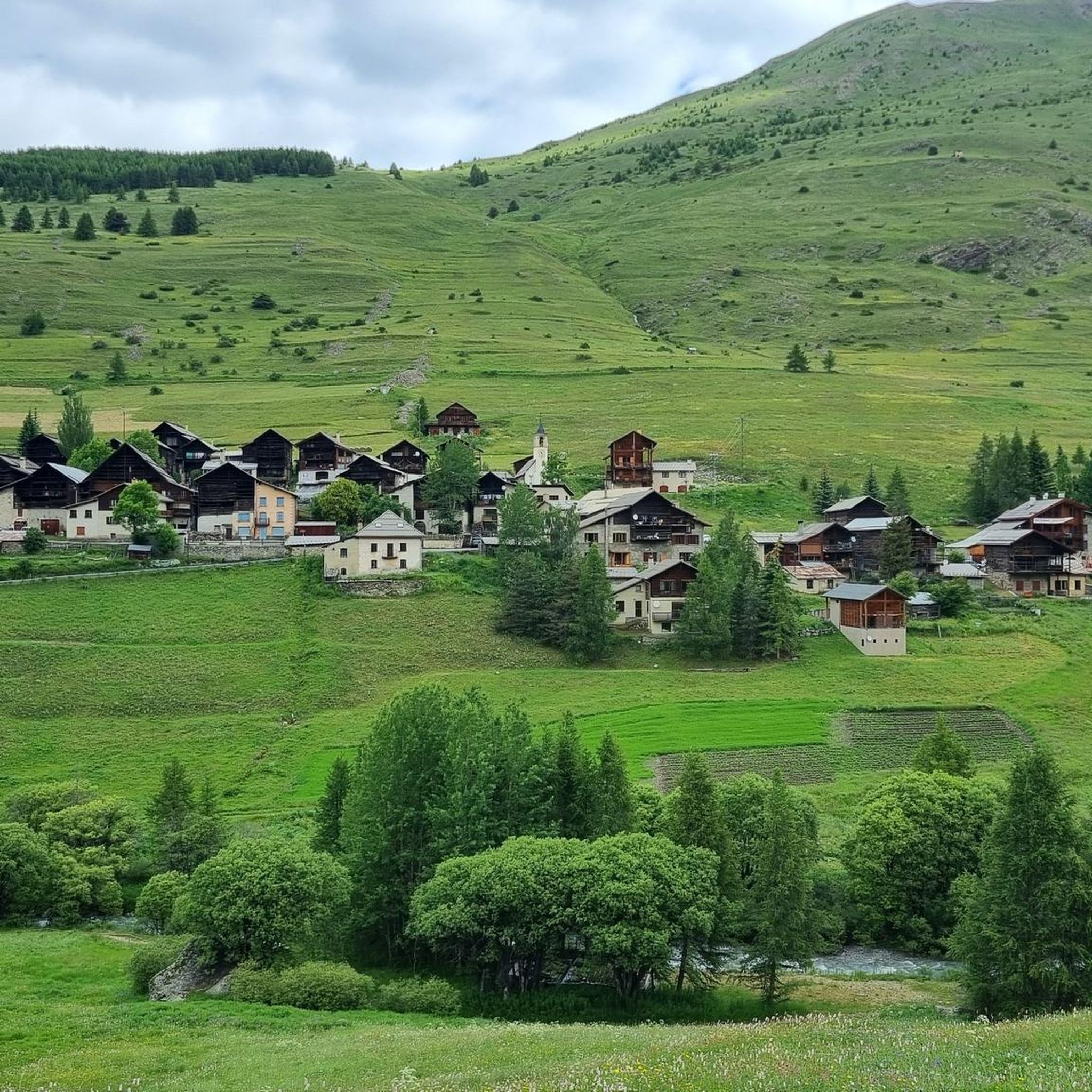
Hiking around Molines-En-Queyras
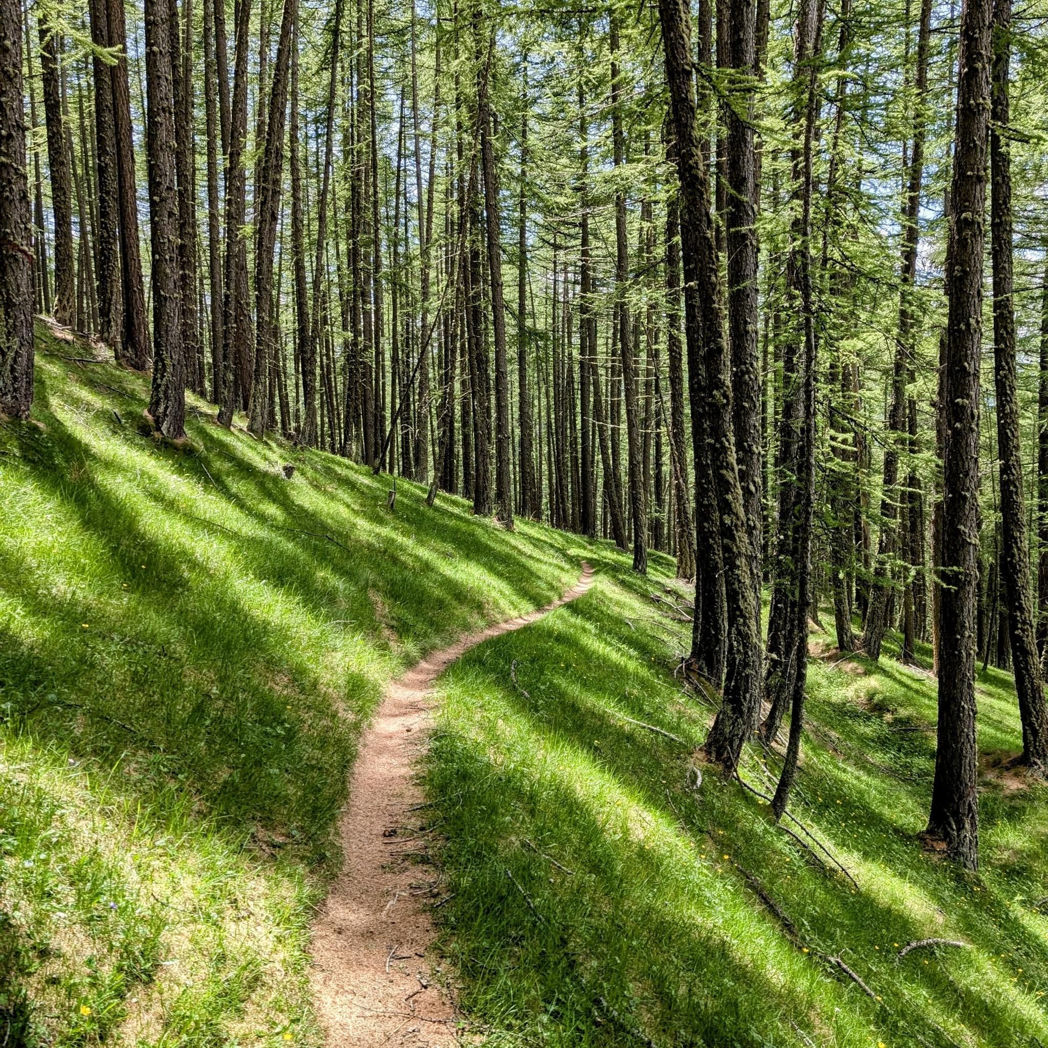
Cycling around Molines-En-Queyras
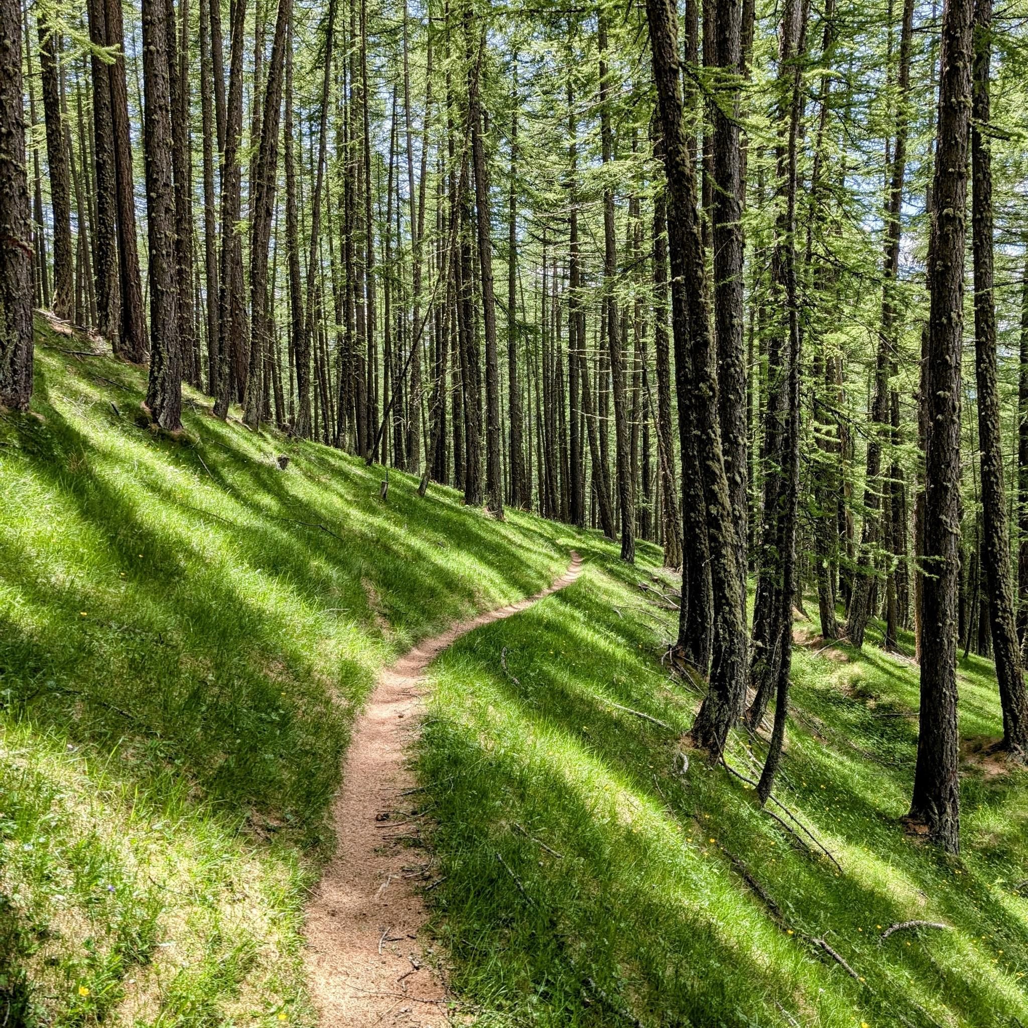
MTB Trails around Molines-En-Queyras
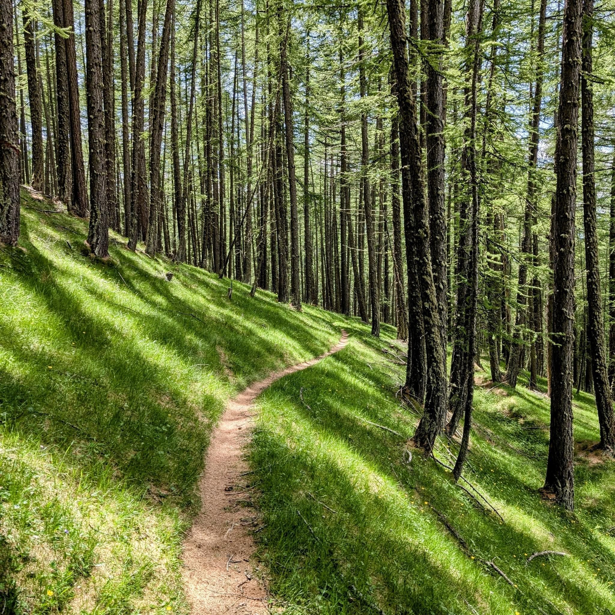
Road Cycling Routes around Molines-En-Queyras
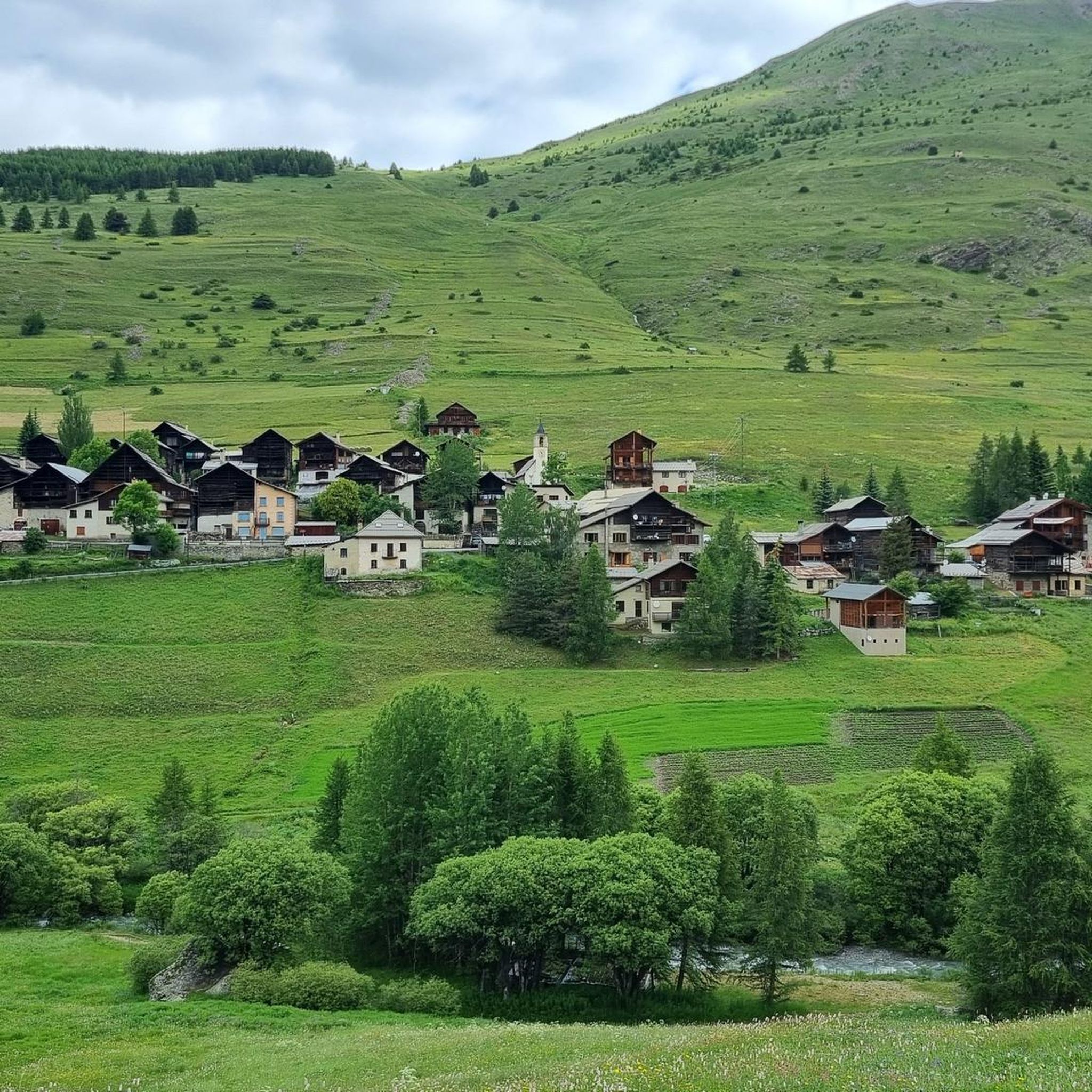
Running Trails around Molines-En-Queyras
Mountain Hikes around Molines-En-Queyras
Other adventures around Molines-En-Queyras


Tips from the Community


The Castello di Château-Queyras (officially known as Fort Queyras) is a splendid medieval fortified castle located in the municipality of Château-Ville-Vieille, in the heart of the Queyras Regional Natural Park (Hautes-Alpes department, France). Situated at an altitude of 1,427 meters on a rocky outcrop overlooking the picturesque Guil valley, it holds the title of the highest medieval castle in France and is considered one of the country's best-preserved examples of alpine fortification.
0
0

Possibility to leave the bikes tied to the fence to continue on foot.
0
0

2360 meters is not a small amount.
1
0

The Col d’Izoard is an Alpine pass located in the French Alps, in the Hautes-Alpes department, at an altitude of about 2,360 meters. It connects the Guisane valley (towards Briançon) to the Queyras valley (towards Château-Ville-Vieille).
10
0

Slightly off the main road (which, straightened at the time of the opening of the Colle dell'Agnello pass, left it aside), it is worth a small detour for a visit. It is a classic mountain village, well-kept, with the church towering in a summit position (and offering us the apse).
0
0
Registered among the most beautiful villages in Italy, and for good reason. A pearl set in the majestic scenery of the Cottian Alps, all restored and cleaned up. A dream village.
0
0
Registered among the most beautiful villages in Italy, and for good reason. A pearl set in the majestic scenery of the Cottian Alps, all restored and cleaned up. A dream village.
0
0
Frequently Asked Questions
What kind of terrain can I expect on gravel bike trails around Molines-en-Queyras?
The terrain around Molines-en-Queyras is predominantly mountainous, featuring a mix of extensive forest roads, gravel paths, and some paved sections. You'll encounter significant elevation changes, from valley floors to high mountain passes like Col Agnel and Col Fromage, offering both challenging ascents and scenic descents.
Are there any family-friendly gravel biking options in Molines-en-Queyras?
While many routes in Molines-en-Queyras are rated difficult due to significant elevation, there are some moderate options that might be suitable for families with older, experienced children. The region's valleys, such as the Aigue Agnelle, offer less strenuous sections. Always check the route details for elevation and distance to ensure it matches your family's ability.
What are the best times of year for gravel biking in Molines-en-Queyras?
The best time for gravel biking in Molines-en-Queyras is typically from late spring through early autumn. During these months, mountain passes are generally clear of snow, and the larch forests offer beautiful green foliage in summer and stunning golden-red colors in autumn. Winter brings snow, making most gravel routes unsuitable for biking.
What notable landmarks or natural features can I see along the gravel bike routes?
Molines-en-Queyras offers breathtaking scenery. You can ride towards high-altitude alpine lakes like Lake Fiorenza, explore dramatic canyon landscapes like the Gorges of the Guil, or pass through traditional mountain villages such as Saint-Véran Village. Many routes also offer panoramic views of iconic peaks like Mont Viso.
Are there any circular gravel bike routes available?
Yes, many gravel bike routes in the region are designed as loops. For example, the challenging Lac de Pontechianale – Chianale loop from inizio percorso covers 92.6 km with significant elevation gain. Another option is the Saint-Véran – Lake Blanche loop from Molines-en-Queyras, which is a difficult 29.8 km ride through alpine scenery.
What do other gravel bikers enjoy most about the trails in Molines-en-Queyras?
The gravel biking experience in Molines-en-Queyras is highly rated by the komoot community, with an average score of 4.9 stars. Riders frequently praise the stunning high-alpine landscapes, the challenging yet rewarding climbs over mountain passes, and the diverse network of paths that blend natural beauty with a sense of adventure.
Are there options for advanced gravel bikers seeking a challenge?
Absolutely. Molines-en-Queyras is ideal for advanced gravel bikers. Many of the 15 difficult routes feature substantial elevation gains and cover long distances through high-alpine terrain. Consider the Chianale Village – Col Agnel / Colle dell'Agnello loop from Pontechianale, which includes a significant climb over Col Agnel.
Where can I find parking for gravel bike trails in Molines-en-Queyras?
Molines-en-Queyras and its surrounding hamlets, being popular outdoor hubs, typically offer designated parking areas. Many routes start directly from villages like Molines-en-Queyras or nearby Château-Ville-Vieille, where you can usually find public parking facilities. It's advisable to check specific starting points for detailed parking information.
Are there any mountain refuges along the gravel routes for breaks or overnight stays?
Yes, the region has mountain refuges that can serve as excellent rest stops or overnight options for longer multi-day tours. For instance, Refuge Agnel is located near the Col Agnel, providing essential facilities in the wilderness. The Willy Jervis Refuge is another option in the broader area.
How long do gravel bike routes in Molines-en-Queyras typically take?
Route durations vary significantly based on distance, elevation, and your pace. Shorter, difficult routes like the Saint-Véran – Lake Blanche loop (29.8 km) can take around 3 hours. Longer, more challenging tours, such as the Lac de Pontechianale – Chianale loop (92.6 km), can require nearly 9 hours to complete.
Can I find routes with views of Mont Viso?
Yes, several routes offer spectacular views of Mont Viso. The Mont Viso Grand Viewpoint – LaRocheEcroulée loop from Château-Ville-Vieille is a prime example, leading through high-altitude landscapes specifically designed to showcase these iconic vistas. Another option is The Grand Viso Viewpoint – LaRocheEcroulée loop from Abriès.
Most popular routes around Molines-En-Queyras
Most popular attractions around Molines-En-Queyras

Get inspired with the komoot mobile app


Explore more
Browse the best Gravel rides in other regions.
