The best walks and hikes in Hampshire County
4.8
(6)
76
hikers
15
hikes
Hiking in Hampshire County, West Virginia, offers a diverse landscape characterized by rolling hills, river valleys, and prominent mountain ranges. The region features extensive forested areas and geological formations such as the Great North Mountain. Trails often follow waterways and provide varied terrain for exploration.
Best hiking trails in Hampshire County
- The most popular hiking route is Great North Mountain via Tuscarora Trail, a 4.1 miles (6.7 km) trail that takes 1 hour 59 minutes to complete. This route…
Last updated: October 10, 2026
5.0
(1)
3
hikers
1.75km
00:33
110m
0m
Embark on an easy hike to Eagle Rock, a rewarding route that takes you through a rolling ridge walk to impressive vistas. This trail covers 1.1 miles (1.8 km) with…
6.66km
01:59
240m
150m
Hike the easy 4.1-mile Great North Mountain via Tuscarora Trail in George Washington National Forest, gaining 797 feet with panoramic views.

2.96km
00:54
80m
160m
Hike the easy 1.8-mile Tuscarora Trail: Biby Trail to Pinnacle Shelter, gaining 256 feet to panoramic views in under an hour.
10
hikers
7.35km
02:04
150m
150m
The Paw Paw Tunnel Hill Trail offers a rewarding hike through the Chesapeake and Ohio Canal National Historical Park, taking you up and over the mountain that the famous Paw…
5
hikers
8.24km
02:40
330m
330m
The Ziler Loop Trail offers a challenging journey through the dense forests of Cacapon Resort State Park, leading you up to the panoramic views from Cacapon Mountain. Expect a significant…
5.0
(2)
12
hikers
5.17km
01:30
130m
130m
Easy hike. Great for any fitness level. Easily-accessible paths. Suitable for all skill levels.
10
hikers
11.6km
03:17
260m
260m
Moderate hike. Good fitness required. Easily-accessible paths. Suitable for all skill levels.
8
hikers
3.27km
00:53
40m
40m
Easy hike. Great for any fitness level. Easily-accessible paths. Suitable for all skill levels.
5.0
(2)
10
hikers
4.60km
01:21
130m
130m
Easy hike. Great for any fitness level. Easily-accessible paths. Suitable for all skill levels.
3
hikers
Moderate hike. Good fitness required. Mostly accessible paths. Sure-footedness required.
Get access to more routes and recommendations from other explorers.
Already have an account?
Our route recommendations are based on thousands of hikes, rides, and runs completed by other people on komoot.
Start today with a free account
Your next adventure awaits.


Other adventures in Hampshire County

Tips from the Community

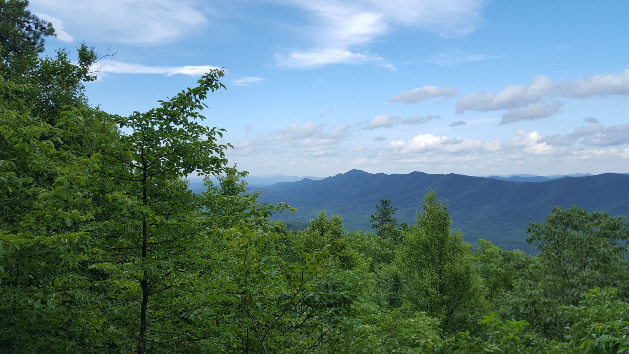
This stretch of the Tuscarora Trail winds through George Washington National Forest, covering a vast expanse of hardwood forest that spans the spine of Great North Mountain. Along the way, you'll traverse rugged ridgelines, quiet hollows, and occasional rocky outcrops with panoramic views across the surrounding valleys. Remote and lightly traveled, this section of the trail offers a deep sense of solitude and connection to the stunning Appalachian landscape.
0
0
Eagle Rock Overlook sits on a high ridgeline just north of Dry Gap in the George Washington National Forest. From this rocky outcrop at roughly 2,800 feet, you get fantastic panoramic views to the east and south that stretch across the Shenandoah Valley, Capon Valley, and on a clear day, all the way into the Blue Ridge Mountains. It's the perfect spot to take a break, capture some photos, and take a moment to appreciate the incredible scenery.
0
0

The Paw Paw Tunnel is an engineering marvel along the C&O Canal, built to avoid constructing six miles of canal along the river. Work began in 1836, but labor disputes, funding issues, and the challenges of tunneling through shale delayed completion for 14 years. Finally opening in 1850, the 3,118-foot tunnel has faced ongoing rockslides throughout its history. Today, visitors can explore the tunnel with a flashlight to spot historical features like weep holes and rub rails. If riding your bike through its best to have a headlamp and to be cautious in the dark. Afterward, the two-mile Tunnel Hill Trail offers stunning views of the Paw Paw Bends.
2
0

The Paw Paw Tunnel was constructed over 14 years, and in effort to save 6 miles of construction, is located in a place of steep, rocky terrain. This proved to be challenging for creation and use of the tunnel. Delays of construction can be attributed to both violence among the workers and a general underestimation of the difficult nature of the project, and the Chesapeake and Ohio Canal Company was nearly bankrupted by the end.
1
0

The Ziler Loop is a 5-mile loop trail known for its challenging inclines. Hikers are rewarded with stunning views from the top of Cacapon Mountain, the highest point in the eastern panhandle of West Virginia.
0
0
If you are looking for a weekend getaway at a resort with great views and activities for everyone, give consideration to Capacon Resort State Park. Open year-round, the park covers over 6,000 wooded acres and offers several options for lodging. Visitors may participate in activities such as hiking, mountain biking, fishing, golfing, horseback riding, and more. The park was initially constructed by the Civilian Conservation Corps in the late 1930s, but additions and renovations continued throughout the decades.
0
0
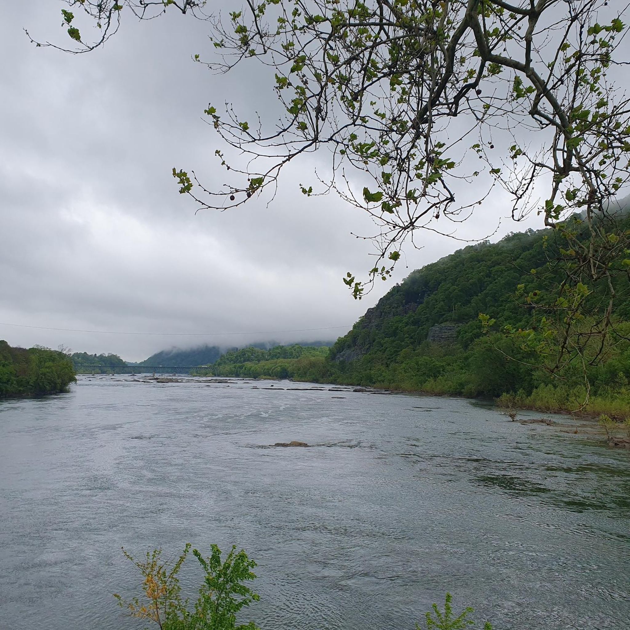
The Potomac River stretches 405 miles and crosses the borders of four states (Virginia, West Virginia, Pennsylvania, and Maryland). Aside from simply being nice to look at, the river is rich in local history and provides recreational opportunities such as rafting, kayaking, and fishing. The Potomac River is the fourth largest river along the Atlantic coast.
0
0
The Paw Paw Tunnel was constructed over 14 years, and in effort to save 6 miles of construction, is located in a place of steep, rocky terrain. This proved to be challenging for creation and use of the tunnel. Delays of construction can be attributed to both violence among the workers and a general underestimation of the difficult nature of the project, and the Chesapeake and Ohio Canal Company was nearly bankrupted by the end. The tunnel was primarily used by canal boats until the closure of the C&O company in 1924. Now, it is appreciated by visitors for its product of impressive engineering nestled in the topography of the park's natural scenic beauty.
0
0
Frequently Asked Questions
How many hiking trails are available in Hampshire County?
Hampshire County offers a variety of hiking experiences with over 15 routes available on komoot. These range from easy strolls to more moderate climbs, ensuring options for different skill levels.
What do other hikers say about the trails in Hampshire County?
The trails in Hampshire County are highly regarded by the komoot community, holding an impressive average rating of 4.75 stars from over 5 reviews. Hikers often praise the diverse terrain and the natural beauty of the area.
Are there easy hiking trails suitable for beginners or casual walkers?
Yes, Hampshire County has several easy trails perfect for beginners or those seeking a relaxed walk. An example is Eagle Rock, which is just over a mile long. Another accessible option is Paw Paw Tunnel – Paw Paw Tunnel loop from Paw Paw, an easy 2-mile loop.
What kind of terrain and elevation can I expect on Hampshire County hikes?
Hampshire County's hiking trails feature a diverse landscape, from rolling hills and river valleys to forested mountains. You can expect varied terrain, including ascents to viewpoints and paths that follow waterways. For instance, the Ziler Loop Trail offers varied terrain with an elevation gain of over 1000 feet.
Are there any circular hiking routes in Hampshire County?
Yes, there are several circular routes available. For an easy option, consider the Paw Paw Tunnel – Paw Paw Tunnel loop from Paw Paw. A moderate circular hike is the Ziler Loop Trail, which provides a good workout with varied scenery.
What are some notable landmarks or points of interest along the trails?
Hampshire County offers trails that pass by interesting features. The Paw Paw Tunnel Hill Trail leads through forested areas and near the historic Paw Paw Tunnel. Other routes, like Great North Mountain via Tuscarora Trail, offer expansive views of the surrounding landscape from higher elevations.
When is the best time of year to hike in Hampshire County?
Hampshire County offers enjoyable hiking experiences throughout much of the year. Spring brings lush greenery, while autumn showcases spectacular fall foliage. Summer is ideal for longer days, and even mild winter days can be pleasant for a hike, especially on lower elevation trails.
Are there any challenging hikes for experienced hikers?
While the komoot data for Hampshire County primarily lists easy and moderate trails, routes like the Ziler Loop Trail offer a moderate challenge with significant elevation gain. For longer, more strenuous options, you might explore connecting trails or extended loops within the region's mountainous areas.
Can I bring my dog on the hiking trails in Hampshire County?
Many trails in Hampshire County are dog-friendly, but it's always best to check specific trail regulations before heading out. Generally, dogs are welcome on leash in most state forests and conservation areas. Always practice Leave No Trace principles and clean up after your pet.
Are there family-friendly hiking options in Hampshire County?
Yes, Hampshire County has several trails suitable for families. Easy, shorter routes like Eagle Rock or the Paw Paw Tunnel – Paw Paw Tunnel loop from Paw Paw are great choices for outings with children, offering manageable distances and interesting sights.
Is parking available at trailheads in Hampshire County?
Parking is generally available at designated trailheads and access points throughout Hampshire County's parks and conservation areas. It's advisable to check specific trail information or park websites for details on parking facilities and any potential fees before your visit.
Can I reach hiking trails by public transport in Hampshire County?
While some areas of Hampshire County are served by public transport, many trailheads are located in more rural settings and may require private vehicle access. For specific routes, it's recommended to research local bus routes or ride-sharing options to see if they align with your chosen starting point.

Get inspired with the komoot mobile app


Explore more
Browse the best Hikes in other regions.
