The best cycling routes in Hampshire County
5.0
(5)
134
riders
5
rides
Touring cycling in Hampshire County, West Virginia, is characterized by its rugged terrain, river valleys, and forested hills. The region offers challenging touring cycling routes with notable elevation changes, often following waterways and passing through natural areas. These routes provide opportunities to explore the scenic landscapes of the Potomac Highlands.
Best touring cycling routes in Hampshire County
- The most popular touring cycling route is Paw Paw, WV Visitors Center – Evitt's Creek Campsite loop from Paw Paw, a 58.8…
Last updated: July 8, 2026
5.0
(1)
60
riders
Hard bike ride. Very good fitness required. Mostly paved surfaces. Suitable for all skill levels.
5.0
(4)
58
riders
94.6km
08:26
230m
230m
This touring cycling route from the Paw Paw, WV Visitors Center to Evitt's Creek Campsite offers a deep dive into history and nature along the C&O Canal Towpath. You'll cycle…

Sign up for free
6
riders
73.5km
06:34
690m
690m
Hard bike ride. Very good fitness required. Mostly paved surfaces. Suitable for all skill levels.
5
riders
22.0km
02:03
60m
60m
Moderate bike ride. Good fitness required. Mostly paved surfaces. Suitable for all skill levels.
5
riders
35.6km
03:18
90m
90m
Moderate bike ride. Good fitness required. Mostly paved surfaces. Suitable for all skill levels.
5
riders
15.5km
01:37
470m
470m
The Cacapon Mountain Overlook loop from Omps offers a truly challenging touring cycling experience, winding through the diverse, lush forests of Cacapon Resort State Park. You'll start on mostly paved…
Our route recommendations are based on thousands of hikes, rides, and runs completed by other people on komoot.
Start today with a free account
Your next adventure awaits.
Login or Signup
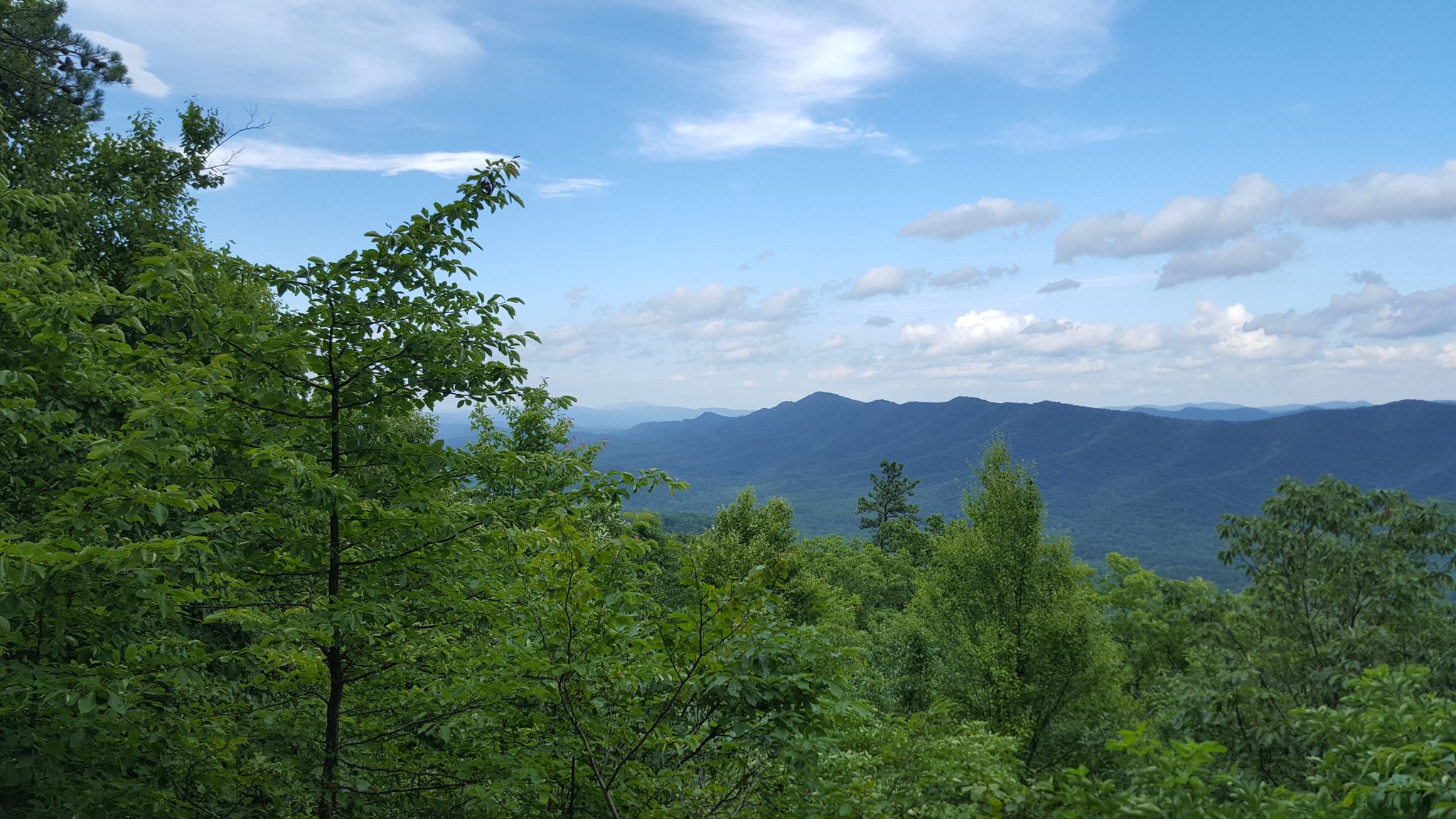
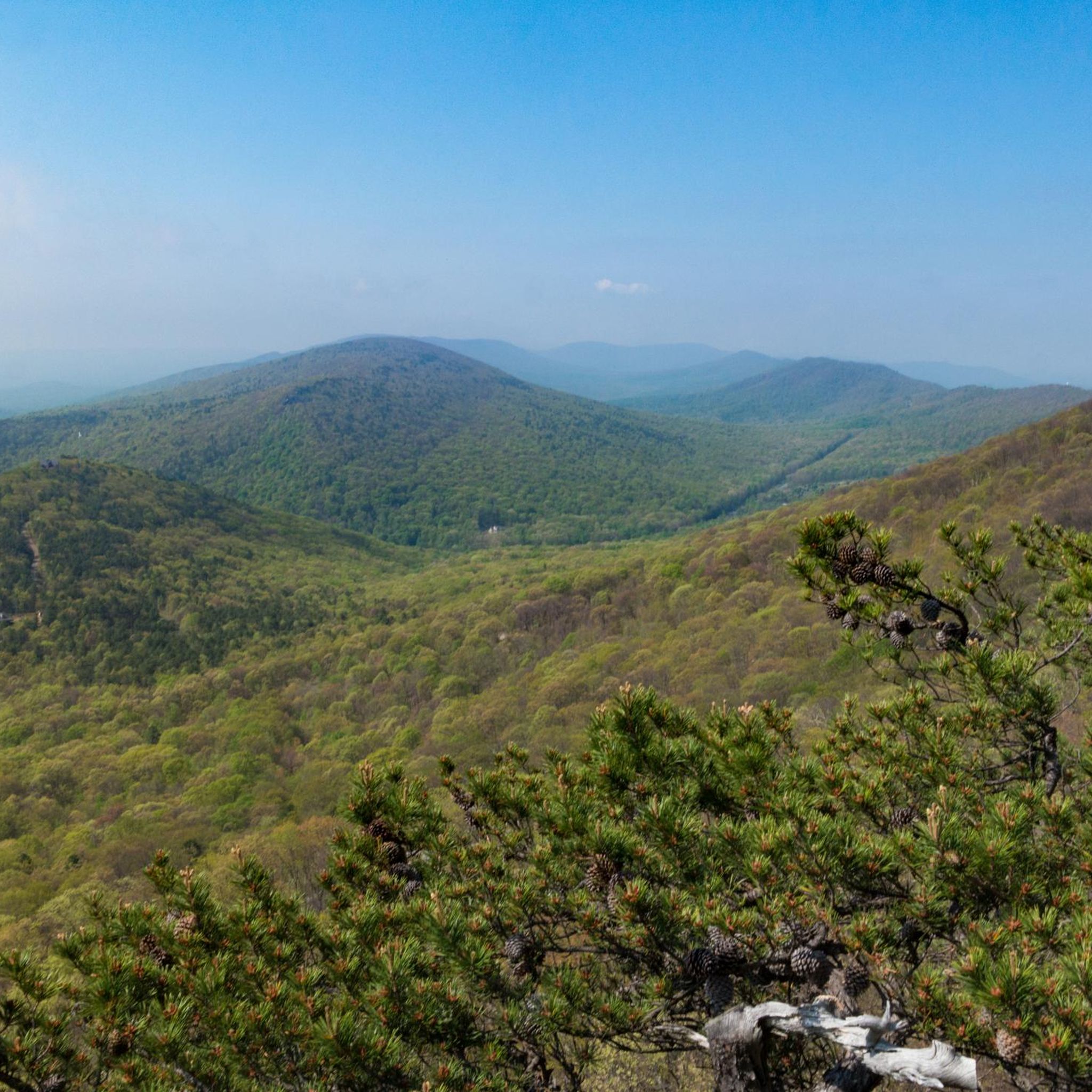
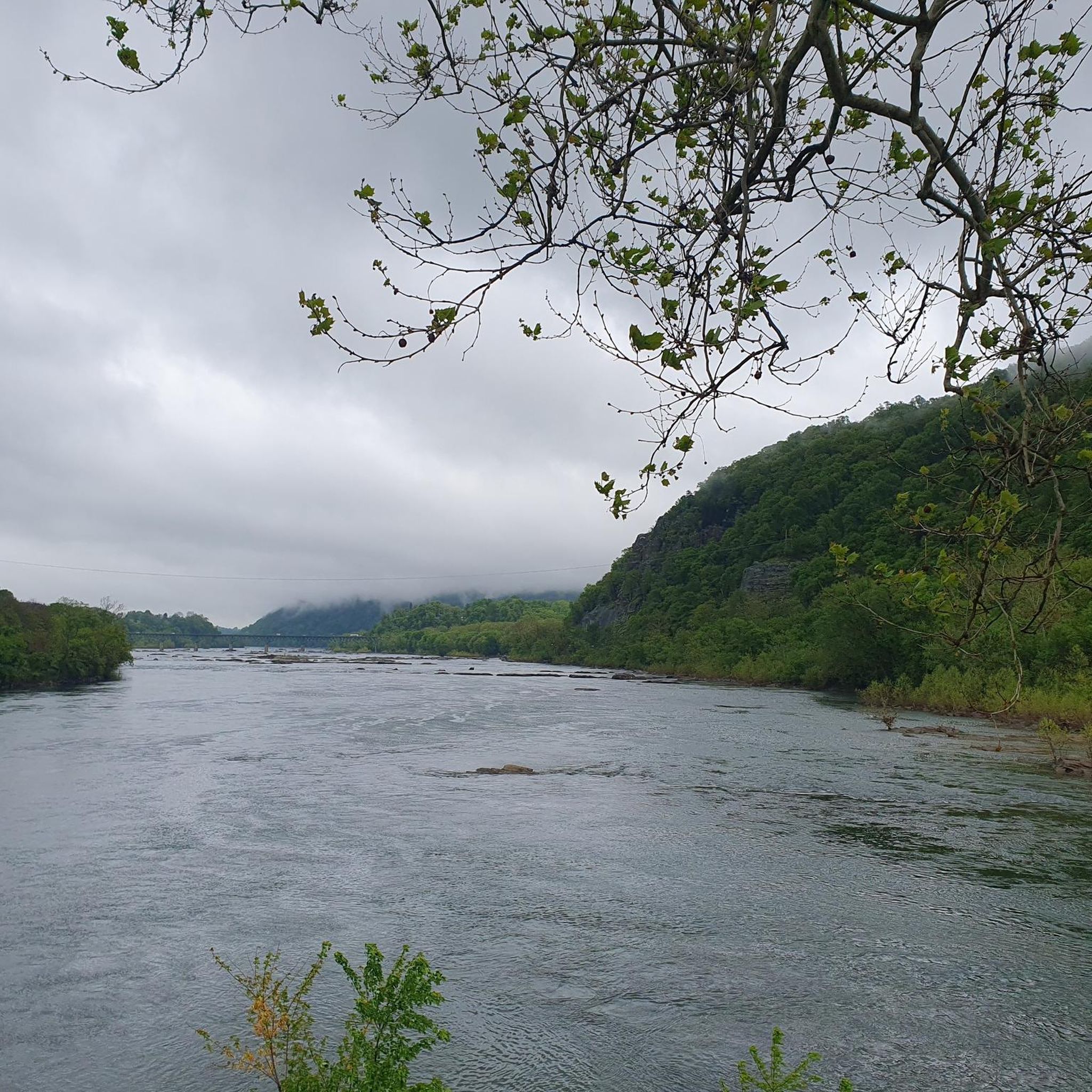

Other adventures in Hampshire County

Tips from the Community

One of my favorites! Mostly flat and easy with some slightly uphill sections. Family friendly with wi-fi connectivity, food resupply and lodging/camping available (not too many options as the C&O is offering.... just plan ahead)
0
0

Small welcome center. Has three picnic tables, water inside and information about the town.
0
0

This is a nice flat spot with a grill, fire ring, and picnic tables. It is named after the Pigman family, which was influential in this region in the early 1800s. The ferry itself is a mile and a half west along the trail.
0
0
This is a flat primitive campsite with restrooms, grills, and picnic tables. The tracks are nearby so you can expect to hear trains periodically through the night.
0
0

The official Mile 0 of the Great Allegheny Passage is found in downtown Cumberland under the arch, next to the train station and connected to the northern terminus of the C&O Canal and Towpath. The town is well-connected, with Amtrak service and ample overnight parking.
0
0

This section of the C&O Canal Towpath takes you (briefly) away from the water through a nice, treed section of forest on a pleasant, wide, generally smooth gravel path.
0
0
The official Mile 0 of the Great Allegheny Passage is found in downtown Cumberland under the arch, next to the train station and connected to the northern terminus of the C&O Canal and Towpath. The town is well-connected, with Amtrak service that accepts bikes and ample parking.
0
0

nice level campsite. no river access and train can be loud, tracks across river. However, we only had 1 train go by at night.
0
0
Frequently Asked Questions
What kind of terrain can I expect on touring cycling routes in Hampshire County?
Touring cycling in Hampshire County is characterized by rugged terrain, river valleys, and forested hills. Routes often feature significant elevation changes, providing a challenging experience for cyclists.
How many touring cycling routes are available in Hampshire County?
There are 5 touring cycling routes detailed in this guide for Hampshire County, all of which are rated as difficult, offering a robust challenge for experienced cyclists.
What is the typical duration for touring cycling routes in Hampshire County?
The routes in Hampshire County vary in length and duration. For example, the Paw Paw, WV Visitors Center – Evitt's Creek Campsite loop from Paw Paw is a 58.8-mile route that typically takes around 8 hours and 25 minutes to complete. Shorter options like the Evitt's Creek Campsite loop from Spring Gap cover 36.4 miles and can be completed in about 5 hours and 9 minutes.
Are there any particularly challenging routes for experienced touring cyclists?
Yes, all the routes in Hampshire County are rated as difficult. The Evitt's Creek Campsite – Paw Paw Tunnel loop from Cumberland, for instance, is a 59.4-mile path featuring challenging climbs and descents through the region's natural beauty.
What do other touring cyclists say about the routes in Hampshire County?
The touring cycling routes in Hampshire County are highly rated by the komoot community, with an average score of 5.0 stars from over 4 reviews. More than 60 touring cyclists have used komoot to explore the varied and challenging terrain here.
Are the touring cycling routes in Hampshire County suitable for beginners?
Given that all listed routes are rated as difficult and feature significant elevation changes, they are generally more suitable for experienced touring cyclists seeking demanding routes rather than beginners.
What kind of natural features can I expect to see along the routes?
The routes in Hampshire County often follow river valleys and pass through forested areas, offering scenic views of the Potomac Highlands and the region's natural landscapes.
Are there any circular touring cycling routes in Hampshire County?
Yes, several routes are designed as loops. Examples include the Paw Paw, WV Visitors Center – Evitt's Creek Campsite loop from Paw Paw and the Evitt's Creek Campsite loop from Spring Gap, which allow you to start and end at the same point.
What is the elevation gain like on these routes?
The routes feature notable elevation changes. For example, the Paw Paw Tunnel – Paw Paw Tunnel loop from Banner's Overlook has an elevation gain of over 694 meters, providing a significant workout.
Can I find routes that pass by the Paw Paw Tunnel?
Yes, the Paw Paw Tunnel is a notable feature in the area. Routes such as the Evitt's Creek Campsite – Paw Paw Tunnel loop from Cumberland and the Paw Paw Tunnel loop from Spring Gap incorporate this landmark into their paths.
Are there any routes that start from Cumberland?
Yes, the Evitt's Creek Campsite – Paw Paw Tunnel loop from Cumberland is a difficult 59.4-mile route that begins from Cumberland, offering challenging climbs and descents.

Get inspired with the komoot mobile app


Explore more
Browse the best Cycling routes in other regions.
