The best running trails around Mormanno
10
runners
3
runs
Jogging routes Mormanno are set within the Pollino National Park, characterized by a varied terrain of wooded hills, rivers, and limestone peaks. The region's location in the Calabrian Apennines provides a mountainous environment with significant elevation changes, offering diverse gradients for running. Numerous dirt roads, forest roads, and mule tracks are available, providing varied surfaces and natural surroundings for runners. Mormanno itself, at an elevation of 850 meters, offers panoramic views over valleys towards the Tyrrhenian Sea.
Best jogging routes…
Last updated: June 28, 2026
6.30km
00:52
210m
210m
Jog the moderate 3.9-mile Colle del Dragone trail in Pollino National Park, featuring scenic views and ancient pines.
5.29km
00:43
200m
200m
Moderate run. Good fitness required. Mostly paved surfaces. Suitable for all skill levels.

Sign up for free
8
runners
6.90km
00:44
70m
70m
Moderate run. Good fitness required. Mostly paved surfaces. Suitable for all skill levels.
2
runners
7.23km
00:48
140m
140m
Moderate run. Good fitness required. Mostly paved surfaces. Suitable for all skill levels.
Our route recommendations are based on thousands of hikes, rides, and runs completed by other people on komoot.
Start today with a free account
Your next adventure awaits.
Login or Signup
Tips from the Community

A nicely laid out route, but with some shortcomings: 1. Very uneven surface. With luggage or a racing bike, it's much easier to ride on the road; unfortunately, you get a lot of jolts here. 2. The narrow path makes visibility difficult in many places, and you share the path with oncoming cyclists and pedestrians—which can make it dangerous. 3. Furthermore, there are small, unmarked bollards in the middle of the path in many places. These are particularly dangerous with panniers on your bike.
0
0

The Convent of the Capuchin Friars of Morano Calabro, in addition to being a place of worship, is also a place of historical interest that is definitely worth a visit…….
0
0

It's a splendid course with tunnels and a magnificent landscape, especially between spring and early summer with the brooms that intoxicate the track with their scent.
0
0

Path of about 7 km that follows the route of the former Calabro-Lucana railway. The pedestrian and cycle path connects the capital of Pollino, Castrovillari, with one of the most beautiful villages in Italy, Morano Calabro, is suitable for all skill levels and offers various points of interest and refreshments.
2
0

From the parks of Calabria 👍👍
0
0

We are almost at 1600 meters and from here we have a beautiful panoramic view of Monte Timpone di Sant'Angelo, Colle della Maddalena and Monte Scaletra.
0
0
Laino Borgo, formerly known as Laino Bruzio, takes its name from the river Lao. The village was abandoned in 1982 due to inaccessibility of the town following seismic phenomena. Today it has 1760 inhabitants.
1
0

Hike in the Pollino National Park as part of the "Pollino 2022" tourist pilot project in and around Morano Calabro, a must-see town in Calabria, Italy. Spectacular views! Tip for a beer after the activity: "My Coffee" bar next to the town hall!
1
1
Frequently Asked Questions
What kind of terrain can I expect on the jogging routes around Mormanno?
The routes around Mormanno, nestled within the Pollino National Park, offer a varied terrain. You'll find a mix of wooded hills, dirt roads, forest roads, and mule tracks. The region is characterized by its 'up-and-down wonderland' of green mountains, providing diverse surfaces and elevation changes for a dynamic running experience.
Are there any easy or beginner-friendly running routes in Mormanno?
While all listed routes are rated as moderate, the area offers paths with varying elevation gains. For a relatively gentler run, consider the Running loop from Morano Calabro, which has the least elevation gain among the available options, making it suitable for those looking for a less strenuous workout.
Can I find circular jogging routes near Mormanno?
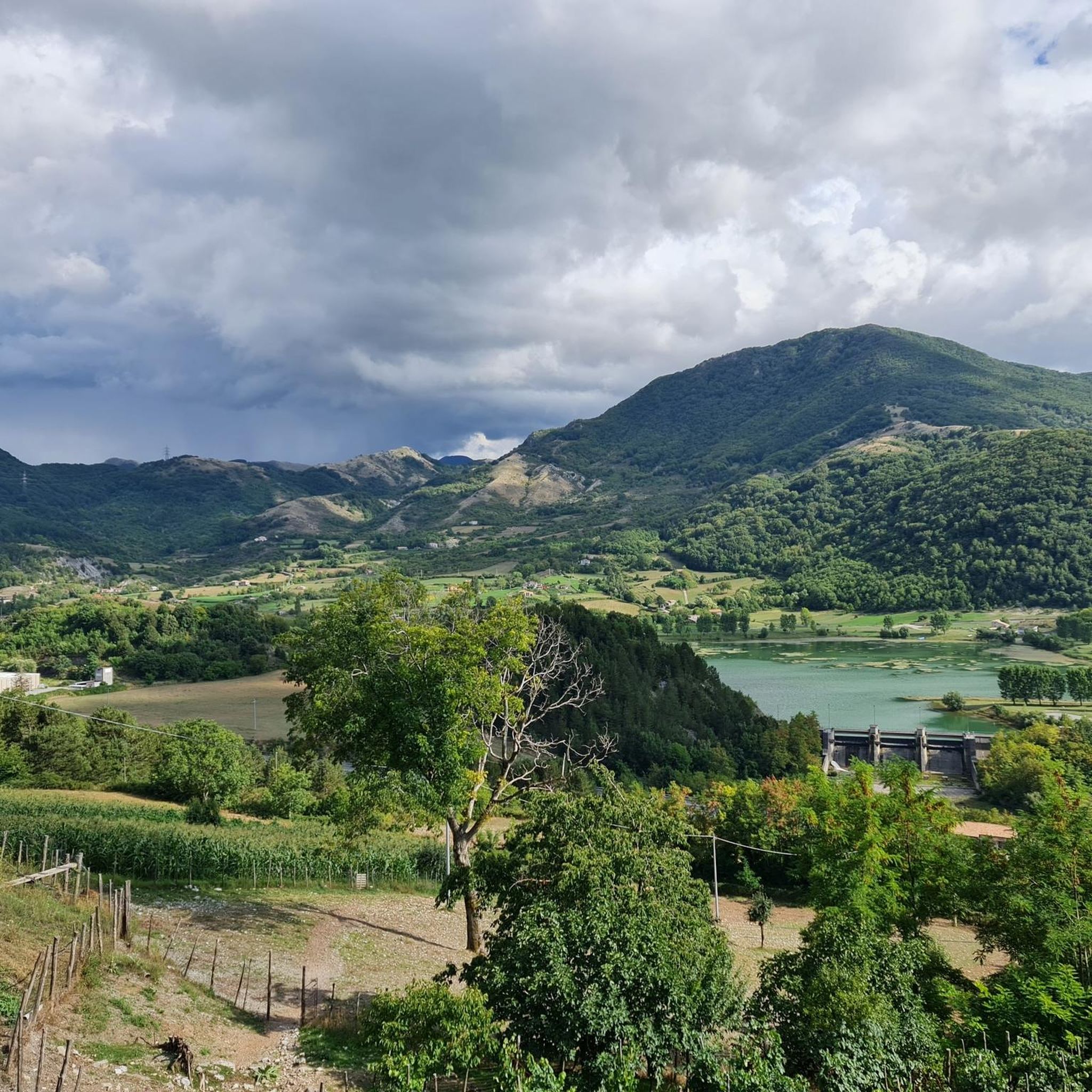
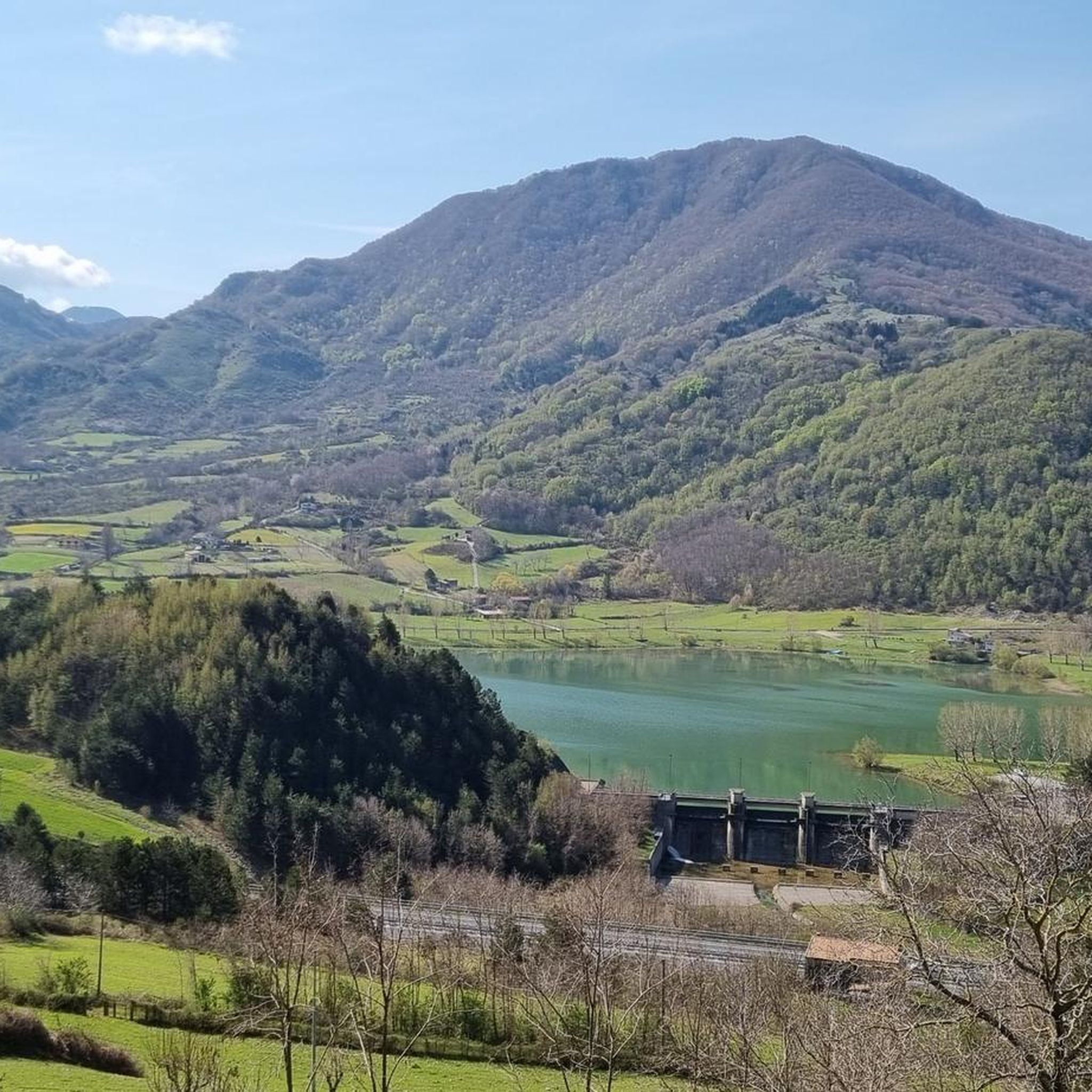
Yes, several routes are designed as loops, allowing you to start and finish in the same location. For example, the Lago del Pantano loop from Mormanno offers a scenic circular run around the lake. Another option is the Praia a Mare Beach loop from Isola di Dino, which provides a coastal circular experience.
What interesting landmarks or viewpoints can I see while jogging in the area?
Mormanno's routes offer stunning natural beauty and panoramic views. The Malvento Viewpoint Trail leads you to the spectacular Malvento Viewpoint, offering vistas of Monte Timpone di Sant'Angelo and Monte Scaletra. You can also explore the picturesque Morano Calabro, considered one of Italy's most beautiful villages, along its dedicated running loop.
Are there any running routes that pass by natural features like lakes or rivers?
Absolutely. The Lago del Pantano loop from Mormanno is a prime example, taking you around the serene Lago del Pantano, a picturesque natural area perfect for outdoor exploration. The Pollino National Park itself is rich with rivers and diverse natural landscapes.
What is the typical distance and elevation gain for running routes around Mormanno?
The running routes in this area generally range from approximately 5 to 10 kilometers in distance. Elevation gains typically fall between 70 and 210 meters, providing a good workout with moderate ascents and descents amidst the mountainous terrain of the Calabrian Apennines.
Is it possible to reach the jogging routes using public transport?
Mormanno is a significant point along the Ciclovia Parchi Calabria, an extensive itinerary that connects villages and natural areas. While specific public transport links directly to trailheads might vary, the town's central location within the Pollino National Park suggests accessibility, though checking local bus schedules for connections to specific starting points is advisable.
Are there any dog-friendly running routes in Mormanno?
The Pollino National Park, where Mormanno is located, generally welcomes dogs on trails, provided they are kept on a leash to protect wildlife and ensure the safety of other users. Many of the dirt roads and forest paths are suitable for running with your canine companion, but always check specific park regulations or trail signs for any restrictions.
What is the best time of year for jogging in Mormanno?
The region's mountainous climate makes spring and autumn particularly pleasant for jogging, with milder temperatures and vibrant natural scenery. Summer can be warm, especially at lower elevations, but higher trails in the Pollino National Park offer cooler conditions. Winter brings colder temperatures and potential snow at higher altitudes, which can transform the landscape but may require appropriate gear and caution.
Are there any running routes with panoramic views of the surrounding area?
Yes, Mormanno is known for its stunning panoramic views. The Malvento Viewpoint Trail offers spectacular vistas. Additionally, the Votive Lighthouse on Mount San Michele provides beautiful views of the village and its surrounding nature, making for a rewarding sight during or after your run.
What do other runners enjoy most about jogging in Mormanno?
Runners often praise the diverse landscapes and the immersive experience within the Pollino National Park. The 'up-and-down wonderland' of green mountains, combined with extensive trail networks, provides both challenging workouts and serene natural beauty. The panoramic views, especially from spots like the Malvento Viewpoint, are frequently highlighted as a rewarding aspect of running in the area.
Most popular attractions around Mormanno

Get inspired with the komoot mobile app


Explore more
Browse the best Running Trails & Routes in other regions.
