The best running trails around Civita D'Antino
4.0
(1)
137
runners
10
runs
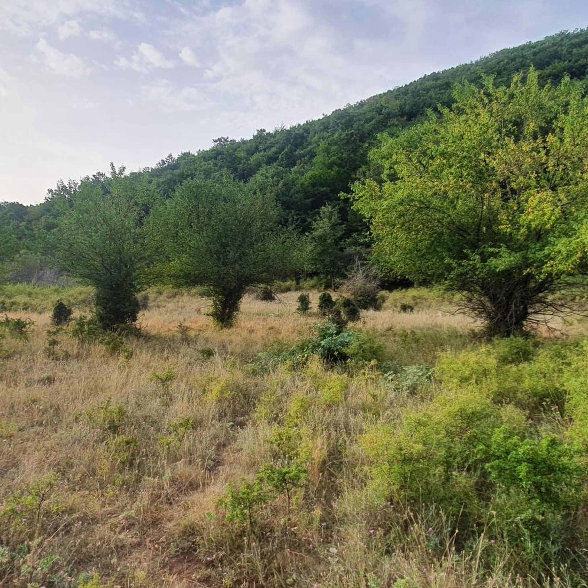
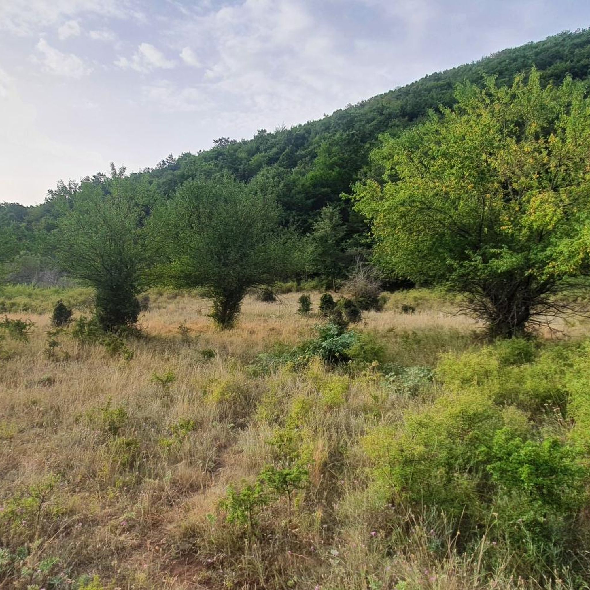
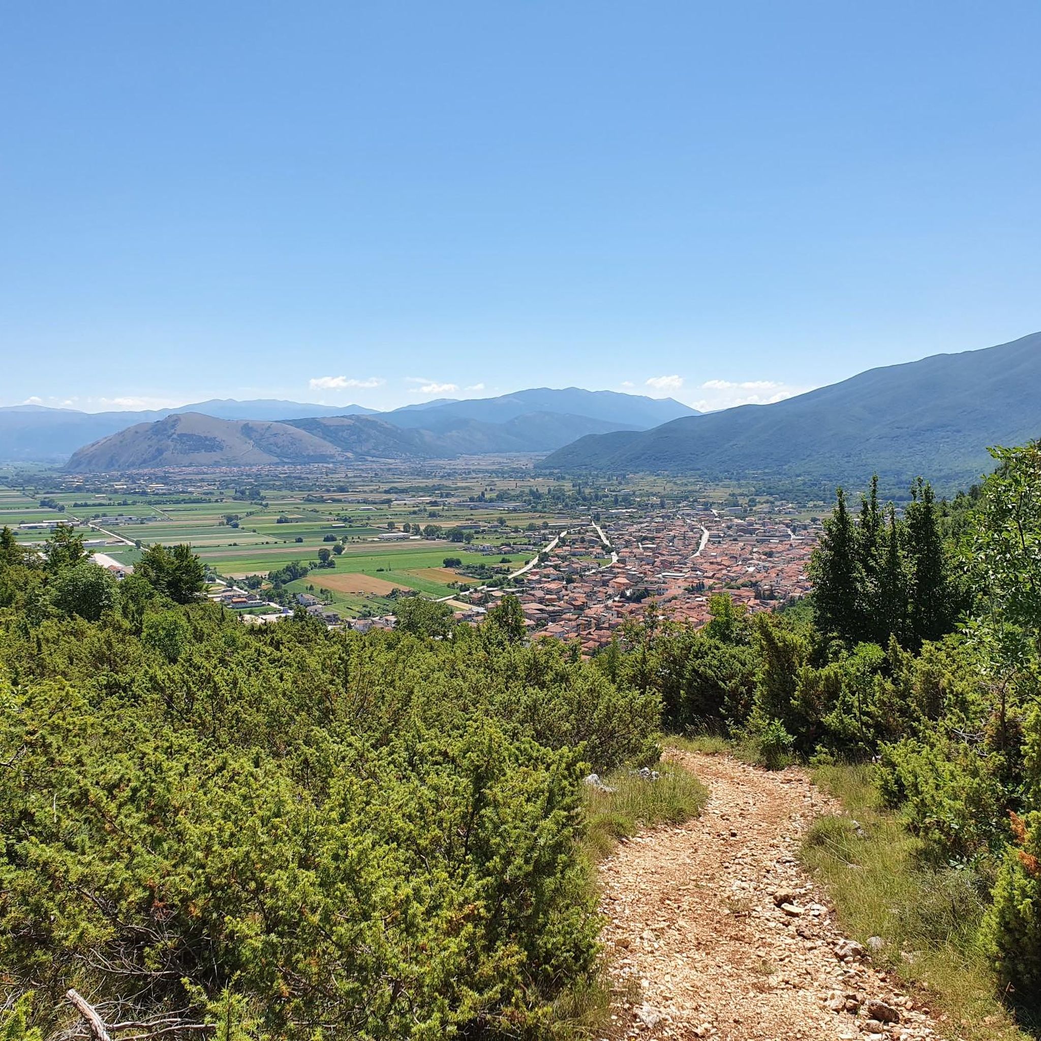
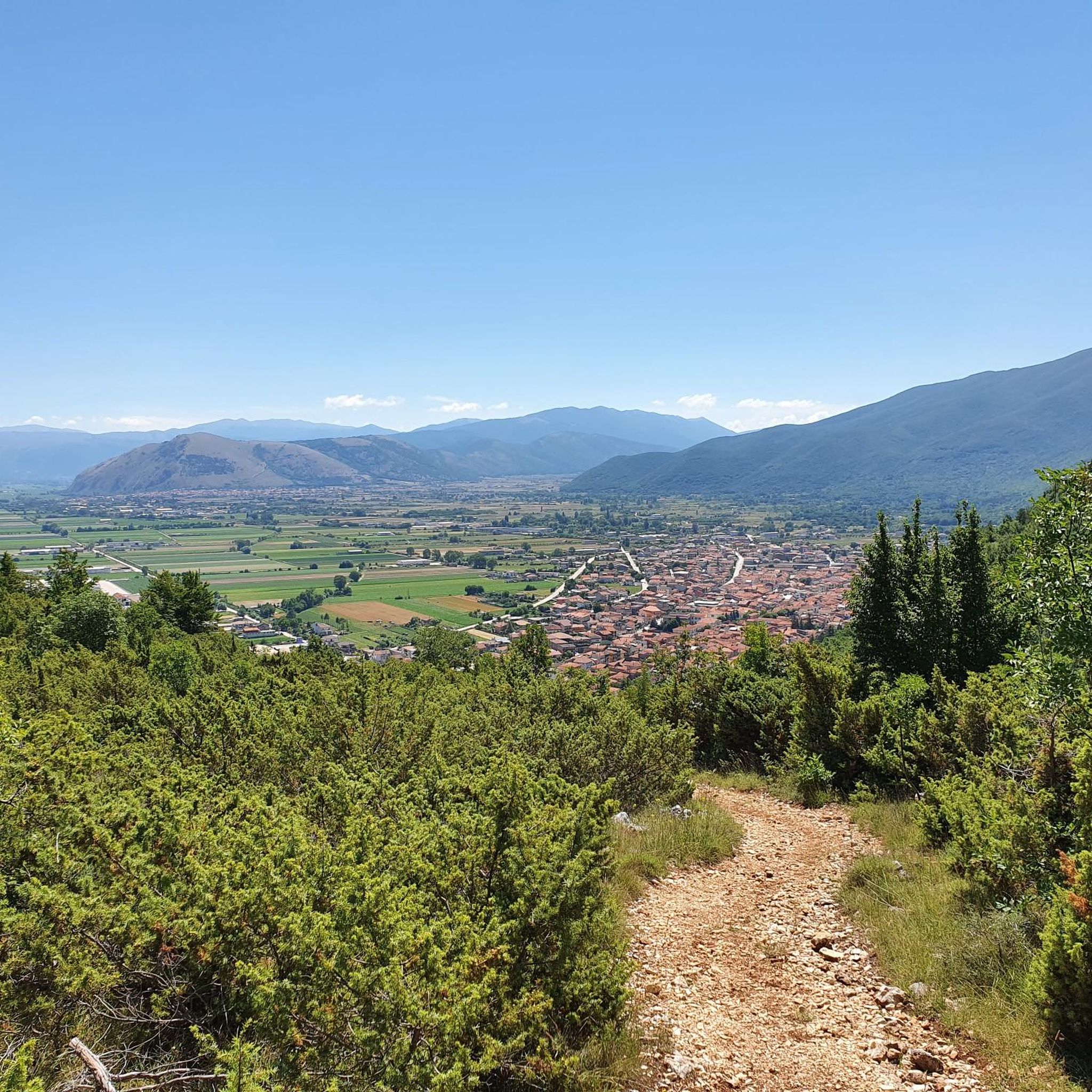
Jogging around Civita D'Antino offers routes through varied terrain, characterized by rolling hills and forested valleys. The region features paths with significant elevation changes, providing challenging running experiences. The landscape presents a mix of natural trails and scenic vistas, ideal for those seeking an active outdoor experience.
Best jogging routes around Civita D'Antino
- The most popular jogging route is Running loop from Canistro, a 6.4 miles (10.3 km) trail that takes 1 hour 23 minutes to complete. This route…
Last updated: July 15, 2026
19
runners
10.3km
01:23
390m
390m
Hard run. Very good fitness required. Mostly paved surfaces. Suitable for all skill levels.
4.0
(1)
14
runners
10.0km
01:43
650m
660m
Hard run. Very good fitness required. Sure-footedness, sturdy shoes and alpine experience required.

Sign up for free
14
runners
19.7km
02:51
990m
990m
Hard run. Very good fitness required. Sure-footedness, sturdy shoes and alpine experience required.
8
runners
12.7km
01:33
430m
420m
Hard run. Very good fitness required. Mostly paved surfaces. Suitable for all skill levels.
9
runners
17.4km
02:03
380m
380m
Hard run. Very good fitness required. Sure-footedness, sturdy shoes and alpine experience required.
Get access to more routes and recommendations from other explorers.
Sign up for free
Already have an account?
Our route recommendations are based on thousands of hikes, rides, and runs completed by other people on komoot.
Start today with a free account
Your next adventure awaits.
Login or Signup
Tips from the Community

Collelongo is a suggestive town located in Abruzzo, framed by the majestic Apennine mountains. The village offers a characteristic historic center with ancient architecture and narrow cobbled streets. Here you can discover the rich local culture and traditions, while admiring the breathtaking views of the surrounding valleys. Collelongo is also known for its authentic cuisine, where you can taste local delicacies.
0
0

At an altitude of 1860 m asl is the Sant'Elia pass. Once you reach the top, the effort is over, you can enjoy the view and then head downhill.
1
0
Built on the occasion of the Jubilee of 1700, the Floridi chapel is dedicated to the Madonna del Rosario. Today it is the site of the memorial to the fallen of all wars and in fact there are the tombstones with the names of the soldiers.
1
0

Really very nice place, to be seen absolutely
0
0
Splendid viewpoint and for a little refreshment
0
0

Tombe di Amplero are ancient warrior graves isolated in the mountain. There are about 50 of them in the area.
2
0

Follow road signs for the waterfalls - lot of blessed fresh water during summertime
3
0
Frequently Asked Questions
How many running routes are available in Civita D'Antino?
There are 7 dedicated running routes around Civita D'Antino, offering a variety of experiences for runners. These routes are highly rated by the komoot community, with an average score of 4.0 stars.
Are there easy running routes in Civita D'Antino for beginners?
The running routes around Civita D'Antino are generally quite challenging, with 6 out of 7 routes rated as 'difficult' and 1 as 'moderate'. There are no routes specifically categorized as 'easy' for beginners, as they often feature significant elevation changes and mountainous terrain.
Can I find long-distance running trails in this region?
Yes, Civita D'Antino offers several longer running trails. For instance, the Montagna Spaccata Chapel loop from Meta is a substantial 12.2 miles (19.7 km) route, and the Rifugio Aranello – La Giostra loop from Collelongo covers 10.4 miles (16.8 km).
Are there circular jogging routes available?
Yes, all the featured running routes in Civita D'Antino are circular loops. Examples include the popular Running loop from Canistro and the scenic Zompo Lo Schioppo Waterfall loop from Zompo lo Schioppo.
What kind of terrain can I expect on the running paths around Civita D'Antino?
Runners in Civita D'Antino can expect varied terrain characterized by rolling hills, forested valleys, and mountainous sections. The paths often involve significant elevation changes, providing a challenging experience on natural trails with scenic vistas.
Are there any running routes that feature waterfalls?
Yes, the Zompo Lo Schioppo Waterfall loop from Zompo lo Schioppo is a difficult 6.2-mile (10.0 km) path that winds through natural landscapes, offering views of the Zompo Lo Schioppo Waterfall. You can also find the Small Waterfall highlight nearby.
What scenic viewpoints or landmarks can I see while jogging?
The region offers several scenic points. While jogging, you might encounter views of prominent peaks like Monte Viglio summit or Monte Vermicano. The trails themselves often provide expansive valley views and pass through picturesque forested areas.
Are the running routes in Civita D'Antino suitable for families?
Given that most routes are rated as 'difficult' with significant elevation gains, the running trails around Civita D'Antino are primarily suited for experienced runners. Families with younger children or those seeking very easy, flat paths might find these routes too challenging.
Are dogs allowed on the running trails?
Generally, dogs are welcome on many outdoor trails in Italy, especially in natural areas. However, it's always advisable to keep them on a leash and check for specific local regulations or protected area rules along your chosen route to ensure a pleasant experience for everyone.
Is parking readily available near the trailheads?
While specific parking information for each trailhead isn't detailed, routes often start from villages or accessible points like 'Canistro' or 'Zompo lo Schioppo', where some local parking options are typically available. It's recommended to check the starting point of your chosen route for the most convenient parking.
What is the best season for running in Civita D'Antino?
The best seasons for running in Civita D'Antino are generally spring and autumn, when temperatures are milder and the natural scenery is vibrant. Summer can be warm, especially at lower elevations, while winter may bring snow and ice to higher mountainous sections, making some trails more challenging or inaccessible.
What do other runners say about the trails in Civita D'Antino?
The running trails in Civita D'Antino are highly rated by the komoot community, with an average score of 4.0 stars from over 1 review. Runners often appreciate the challenging ascents, varied natural landscapes, and the rewarding scenic views found along these routes.
Are there any hidden gem running routes worth exploring?
While all routes offer unique experiences, the Sant'Elia Pass loop from Valico Sant'Elia is a challenging 7.9-mile (12.7 km) route that might offer a less frequented, yet equally rewarding, experience through the region's beautiful terrain.
Most popular attractions around Civita D'Antino

Get inspired with the komoot mobile app


Explore more
Browse the best Running Trails & Routes in other regions.
