Easy hikes and walks around Comarca de Baza
4.5
(254)
1,310
hikers
70
hikes
Easy hiking trails around Comarca de Baza traverse a diverse landscape, primarily defined by the Sierra de Baza Natural Park. This region features mountainous terrain with pine forests, deep valleys, and varied elevations. Beyond the mountains, the area includes unique geological formations like the Gorafe Badlands, characterized by reddish, desert-like landscapes. The trails offer a mix of natural beauty and cultural points of interest.
Best easy hiking trails around Comarca de Baza
- The most popular easy hiking route is Narváez Viewpoint Trail, a 3.8 miles (6.2 km) trail that takes 1 hour 49 minutes to complete. This path leads to a viewpoint offering panoramic vistas of the Hoya de Baza and Calar de Santa Bárbara.
- Another top favourite among local hikers is Calar de Santa Bárbara Summit – Santa Barbara loop from Collado de la Mina, an easy 3.0 miles (4.9 km) path. This route provides access to the higher elevations of the Sierra de Baza, with views of the surrounding mountainous landscape.
- Local hikers also love the Baza – Plaza Mayor de Baza loop from Baza, a 3.5 miles (5.7 km) trail leading through the town's historic center and surrounding areas, often completed in about 1 hour 30 minutes.
- Hiking around Comarca de Baza is defined by mountainous massifs, pine forests, and unique badland formations. The network offers options for different ability levels, with a focus on accessible paths in this guide.
- The routes in Comarca de Baza are highly rated by the komoot community with an average score of 4.5 stars from over 160 reviews. More than 800 hikers have used komoot to explore Comarca de Baza's varied terrain.
Last updated: August 31, 2026
4.3
(7)
21
hikers
6.17km
01:49
180m
190m
Easy hike. Great for any fitness level. Easily-accessible paths. Suitable for all skill levels.
5.0
(2)
6
hikers
Easy hike. Great for any fitness level. Easily-accessible paths. Suitable for all skill levels.

Sign up for free
4
hikers
5.99km
01:35
60m
60m
Easy hike. Great for any fitness level. Easily-accessible paths. Suitable for all skill levels.
5.0
(4)
12
hikers
3.09km
01:05
170m
180m
Easy hike. Great for any fitness level. Easily-accessible paths. Suitable for all skill levels.
3
hikers
6.97km
01:55
110m
110m
Easy hike. Great for any fitness level. Easily-accessible paths. Suitable for all skill levels.
4
hikers
4.35km
01:19
130m
130m
Easy hike. Great for any fitness level. Easily-accessible paths. Suitable for all skill levels.
6
hikers
4.55km
01:12
50m
40m
Easy hike. Great for any fitness level. Easily-accessible paths. Suitable for all skill levels.
7
hikers
5.89km
01:33
50m
50m
Easy hike. Great for any fitness level. Easily-accessible paths. Suitable for all skill levels.
4
hikers
6.65km
01:51
120m
120m
Easy hike. Great for any fitness level. Easily-accessible paths. Suitable for all skill levels.
2
hikers
6.74km
01:48
80m
80m
Easy hike. Great for any fitness level. Easily-accessible paths. Suitable for all skill levels.
Get access to more routes and recommendations from other explorers.
Sign up for free
Already have an account?
Our route recommendations are based on thousands of hikes, rides, and runs completed by other people on komoot.
Start today with a free account
Your next adventure awaits.
Login or Signup
Popular around Comarca de Baza

Easy hikes in Sierra De Baza

Andalusia without limits – Tarifa to La Puebla de Don Fabrique on the GR 7
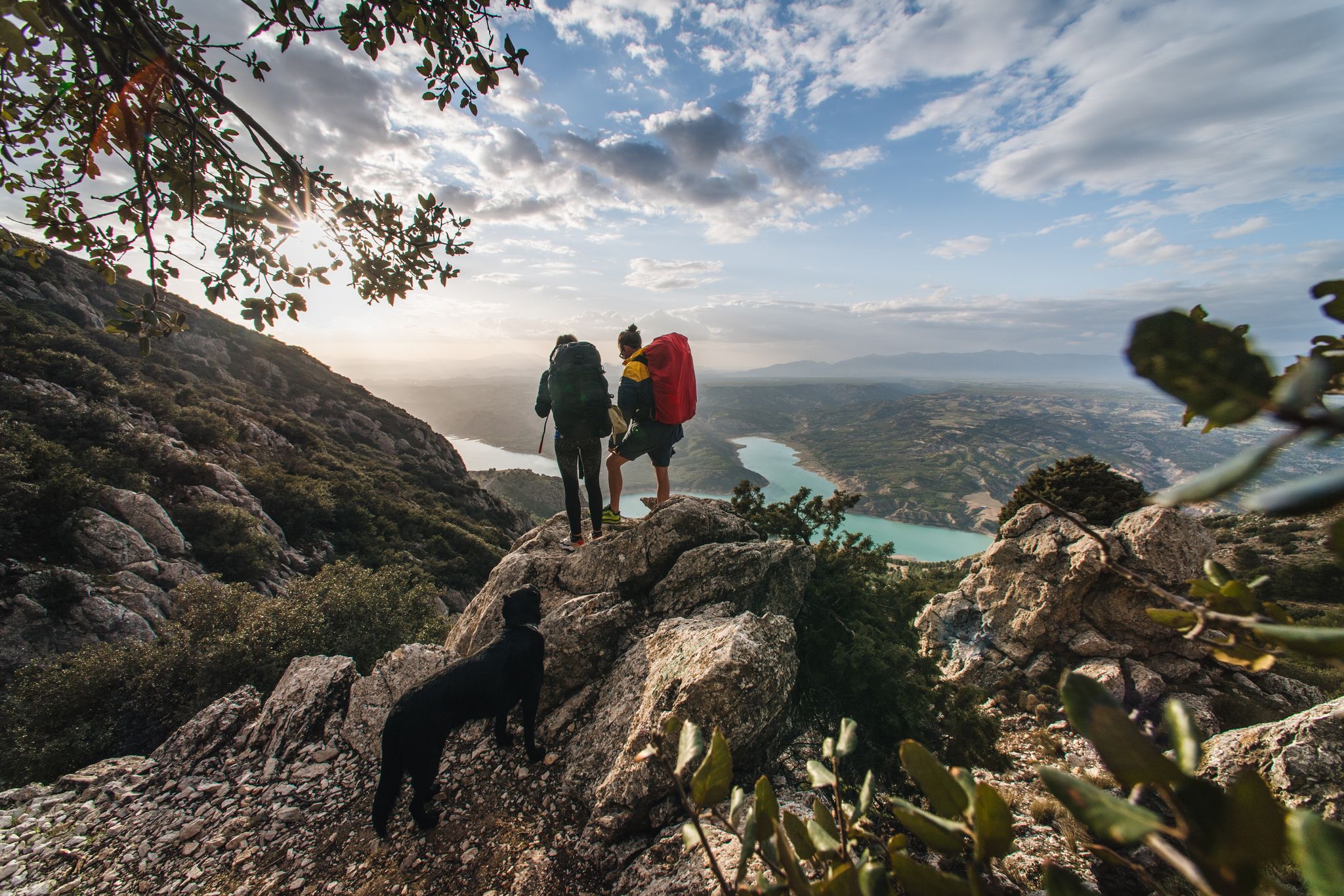
Desert heat and mountain storms — wild food in Andalusia

Bikepacking the mountains and deserts of Andalucía
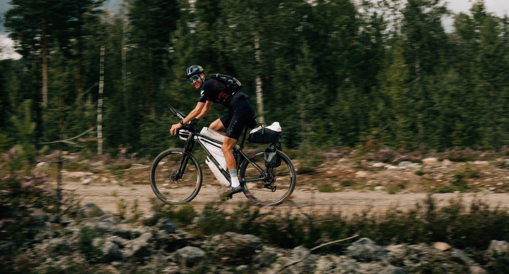
European D̶I̶V̶I̶D̶E̶ Connect Trail Project – a journey across Europe

Wild and free Andalusia – Transandalus through the interior

Explore the Betic Mountains on two wheels – Altravesur
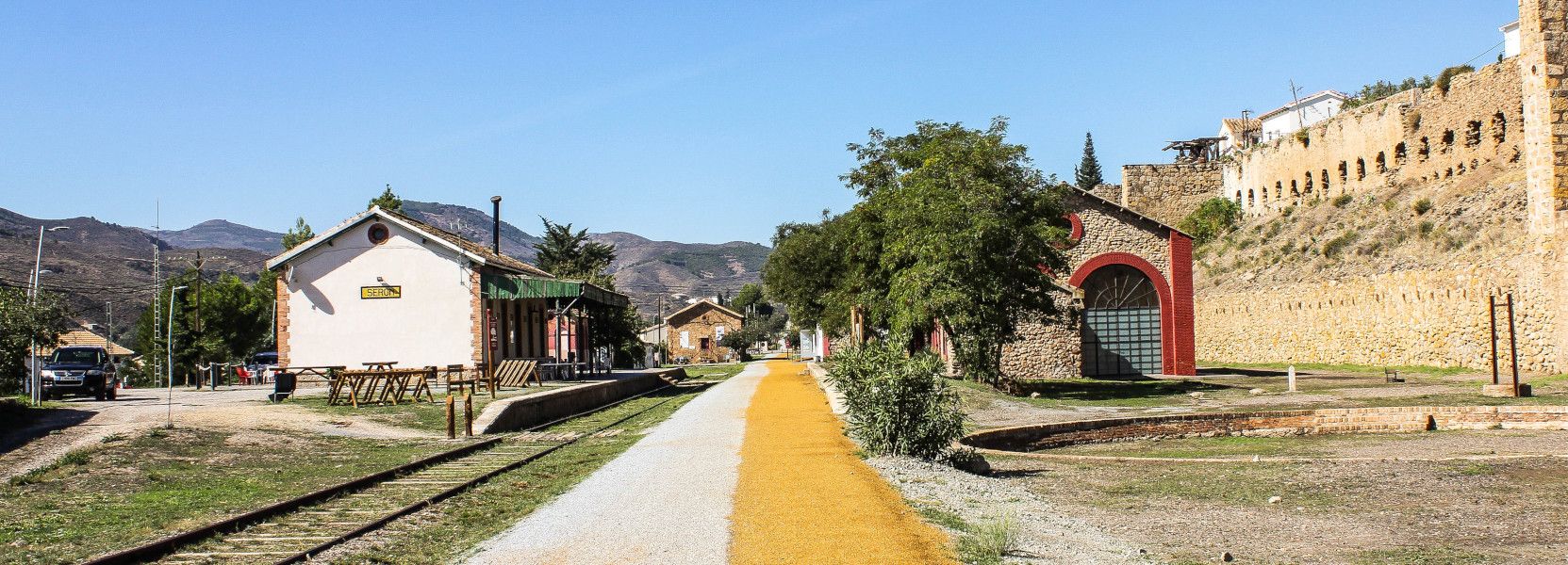
The Iron Road – Spain’s Almanzora Valley Greenway
Other adventures around Comarca de Baza


Tips from the Community

Be very careful with the ice sheets. At this time of year there is a lot of ice and it is very difficult to walk.
0
0

One of the oldest places in the city that should not be missed. In the middle there is an impressive fountain. There is also a large sign saying "BAZA".
1
0
The Cañons Dorados fountain is a monumental fountain next to the old Puerta del Peso. It was built at the beginning of the 17th century and served as a watering point for travellers and hikers who reached Baza.
1
0
Small square with a green cross in a fountain in the middle.
0
0
The 16th-18th century church was built on the remains of the main mosque at the foot of the citadel and includes several construction phases.
0
0
A beautiful square in the historic center of Baza. It also houses the main church from the 16th century, the town hall (a former prison from the 18th century), a 17th century building (a former minor seminary and former college of the Divine Master), the town museum and the 19th century Casino Bastetano building.
0
0

Baza is a city whose municipal area is the largest in the province of Granada, whose population centers depend on it: Baúl (where the section of the greenway begins), La Jamula and Benacebada.
6
0

Everything is going well until the Vía Verde draws a large arc towards the south, enters the large channel of the Rambla de Baza and the Caniles iron bridge appears. The central planks have disappeared and you have to walk carefully along the sides. A sign at the entrance to the bridge recommends the parallel lane to avoid unnecessary risks. The tall chimney of the old Nuestra Señora de las Mercedes sugar factory announces the arrival at the Caniles station, which had an important weight in railway trade from its inauguration, in 1894, until the middle of the 20th century, when the decline of the road that connected Andalusia and the Levant. The buildings have been restored and converted into the Geodiversity Interpretation Center of the Granada Altiplano. In Baza you have to leave the route of the Greenway and visit the historical complex, passing by the Fuente de los Caños Dorados, the Plaza Mayor, the Barrio de San Juan, the alleys of the Jewish quarter, the Old Butcher Shops, the Arrabal de Marzuela , even entering the Arab Baths, and taking the opportunity to have some local delicacies and recover energy for the rest of the stage.
0
0
Frequently Asked Questions
How many easy hiking trails are available in Comarca de Baza?
Comarca de Baza offers a good selection of easy hiking trails, with 19 routes specifically categorized as easy. These trails are perfect for exploring the diverse landscapes of the region, including the Sierra de Baza Natural Park and its surroundings.
Are there family-friendly easy hikes in Comarca de Baza?
Yes, many easy trails in Comarca de Baza are suitable for families. Routes like the Baza – Plaza Mayor de Baza loop from Baza, which is 3.5 miles (5.7 km) long, offer accessible paths through town and surrounding areas. The region's varied terrain ensures there are options for all ages to enjoy.
Which easy trails offer the best scenic viewpoints in Comarca de Baza?
For stunning vistas, the Narváez Viewpoint Trail is highly recommended. This 3.8-mile (6.2 km) route leads to the Narváez Viewpoint, offering panoramic views of the Hoya de Baza and Calar de Santa Bárbara. Another option for elevated views is the Calar de Santa Bárbara Summit – Santa Barbara loop from Collado de la Mina, which provides access to higher elevations within the Sierra de Baza.
Can I find circular easy walks in Comarca de Baza?
Absolutely. Many easy routes in Comarca de Baza are circular, allowing you to start and end at the same point. Examples include the Baza – Plaza Mayor de Baza loop from Baza and the Torre Capel loop from Baza, which is 4.4 miles (7.1 km) long.
What kind of natural attractions can I see along easy hiking trails?
Along the easy hiking trails, you can discover various natural attractions. The Sierra de Baza Natural Park features pine forests, deep valleys, and unique geological formations. You might encounter highlights such as the Fountain of Health or the Ojo de la Heredad. The region also boasts diverse flora, including aromatic plants like thyme and lavender, and opportunities for wildlife spotting.
Are there any historical or cultural points of interest near the easy trails?
Yes, Comarca de Baza offers historical and cultural points of interest. The town of Baza itself has a rich history, with sites like the Historic Center of Baza. You can explore these by taking routes such as the Historic Center of Baza – Baza loop from Baza, a 4.2-mile (6.7 km) trail.
What is the best time of year for easy hikes in Comarca de Baza?
The Comarca de Baza region is enjoyable for hiking throughout much of the year. Spring and autumn offer pleasant temperatures and vibrant landscapes. Even in winter, easy walks are possible, especially at lower elevations, though higher peaks in the Sierra de Baza may be snow-covered. Always check local weather conditions before heading out.
What do other hikers enjoy most about hiking in Comarca de Baza?
The easy hiking trails in Comarca de Baza are highly rated by the komoot community, with an average score of 4.5 stars from over 160 reviews. Hikers often praise the region's diverse and dramatic landscapes, the well-maintained paths, and the stunning panoramic views, especially from viewpoints like Narváez.
Are there any easy trails that explore the unique badlands landscape?
While the primary focus of easy trails is often the Sierra de Baza, the region is also home to the striking Gorafe Badlands. Although not explicitly listed in the easy routes provided, the nearby Negratín Badlands offer a 4.2-mile (6.8 km) loop, providing a different landscape experience with its reddish, desert-like formations. You can explore the Cúllar loop from Cúllar for a taste of the surrounding area.
What are the typical distances and durations for easy hikes in this region?
Easy hikes in Comarca de Baza typically range from 3 to 4.5 miles (4.8 to 7.2 km) in distance. Most can be completed within 1.5 to 2.5 hours, making them ideal for a leisurely outing. For example, the Prados del Rey – Filón Violeta Mining Site loop from Collado de la Mina is 2.8 miles (4.6 km) and takes about 1 hour 20 minutes.
Are there any visitor centers or facilities along the easy hiking routes?
Yes, within the Sierra de Baza Natural Park, you can find facilities such as the Cortijo Narváez Visitor Center. This center is often a starting point for trails like the Narváez Viewpoint Trail, providing information and amenities for hikers.
Most popular routes around Comarca de Baza
Most popular attractions around Comarca de Baza

Get inspired with the komoot mobile app


Didn’t find what you were looking for?
Check out more Hikes throughout Comarca de Baza below and find the perfect route in your destination.
Explore more
Browse the best Hikes in other regions.
