The best waterfall hikes and walks around Comarca de Baza
4.5
(254)
1,310
hikers
8
hikes
Waterfall hiking trails around Comarca de Baza are set within a diverse landscape, primarily defined by the mountainous Sierra de Baza Natural Park. This region features elevations often exceeding 2,000 meters, with varied arboreal cover including extensive pine forests and native holm oaks. Numerous streams and springs feed high mountain meadows, creating lush areas amidst drier terrain. The Comarca is also part of the UNESCO Granada Geopark, showcasing unique geological formations like the Negratín Badlands.
Best waterfall hiking trails around Comarca de Baza
- The most popular waterfall hiking route is Cascada del Guazalamanco - circular through the P. N. de las Sierras de Cazorla, Segura y las Villas, a 6.9 miles (11.1 km) trail that takes 3 hours 29 minutes to complete, leading through a natural park to a notable cascade.
- Another top favourite among local hikers is Cathedrals of the Geopark loop from Loma de las Amoladeras, a moderate 8.4 miles (13.5 km) path. This route explores the distinctive geological formations of the Granada Geopark.
- Local hikers also love the Cathedrals of the Geopark loop from Embalse del Negratín, a 8.4 miles (13.5 km) trail leading through the unique landscapes of the Geopark, often completed in about 3 hours 50 minutes.
- Hiking around Comarca de Baza is defined by mountainous terrain, extensive pine forests, and unique geological formations within the Granada Geopark. The network offers options for various ability levels, from moderate loops to more challenging routes.
- The routes in Comarca de Baza are highly rated by the komoot community with an average score of 4.5 stars from more than 150 reviews. More than 800 hikers have used komoot to explore Comarca de Baza's varied terrain.
Last updated: August 31, 2026
4.8
(10)
28
hikers
Moderate hike. Good fitness required. Easily-accessible paths. Suitable for all skill levels.
4.4
(10)
75
hikers
4.20km
01:13
110m
110m
Easy hike. Great for any fitness level. Easily-accessible paths. Suitable for all skill levels.

Sign up for free
4.9
(9)
39
hikers
13.7km
03:54
300m
300m
Moderate hike. Good fitness required. Easily-accessible paths. Suitable for all skill levels.
4.9
(9)
39
hikers
13.7km
03:54
300m
310m
Moderate hike. Good fitness required. Easily-accessible paths. Suitable for all skill levels.
5.0
(1)
17
hikers
6.51km
01:48
110m
110m
Easy hike. Great for any fitness level. Easily-accessible paths. Suitable for all skill levels.
Get access to more routes and recommendations from other explorers.
Sign up for free
Already have an account?
Our route recommendations are based on thousands of hikes, rides, and runs completed by other people on komoot.
Start today with a free account
Your next adventure awaits.
Login or Signup
Popular around Comarca de Baza

Andalusia without limits – Tarifa to La Puebla de Don Fabrique on the GR 7
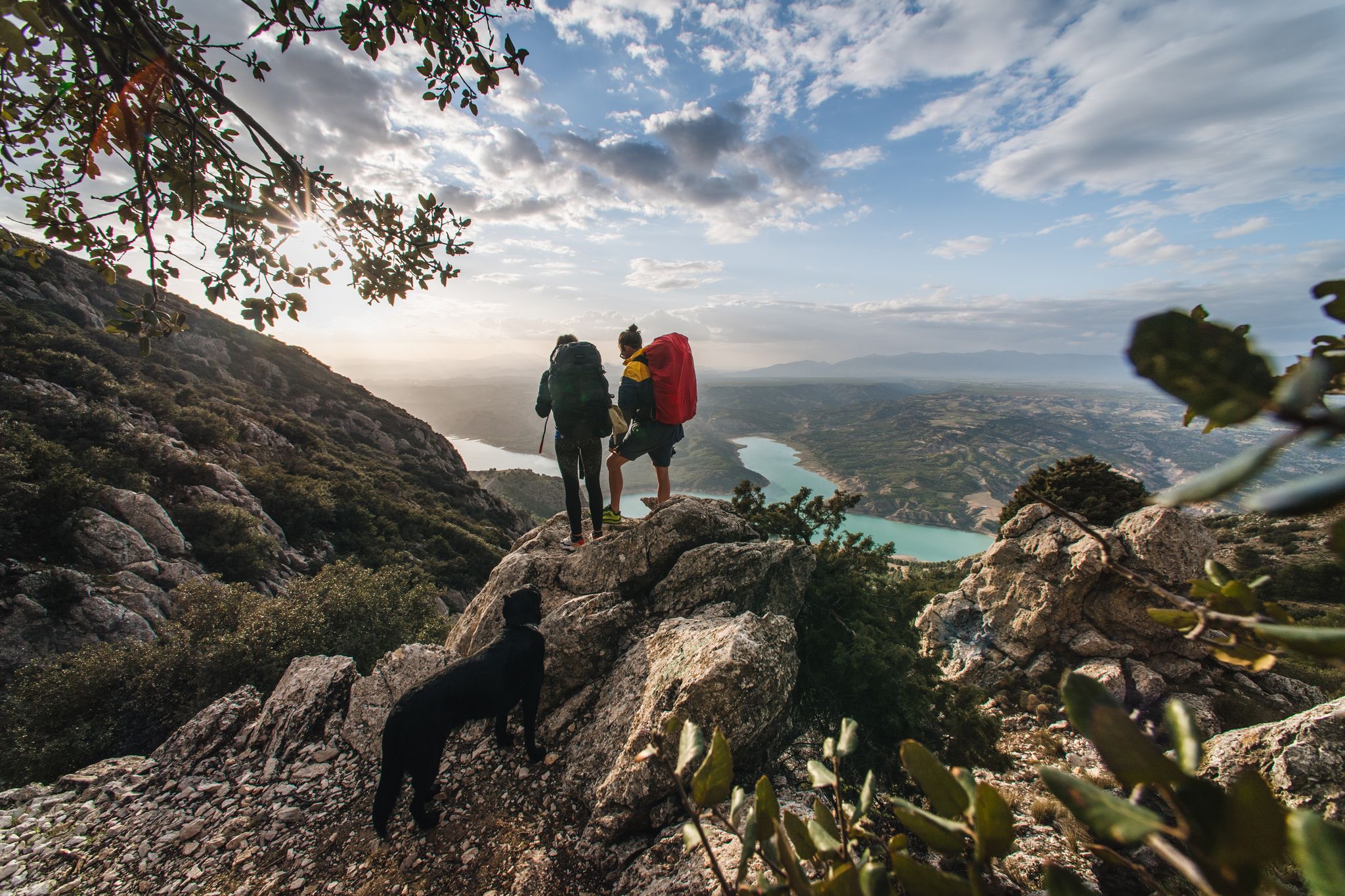
Desert heat and mountain storms — wild food in Andalusia

Bikepacking the mountains and deserts of Andalucía

European D̶I̶V̶I̶D̶E̶ Connect Trail Project – a journey across Europe

Wild and free Andalusia – Transandalus through the interior

Explore the Betic Mountains on two wheels – Altravesur
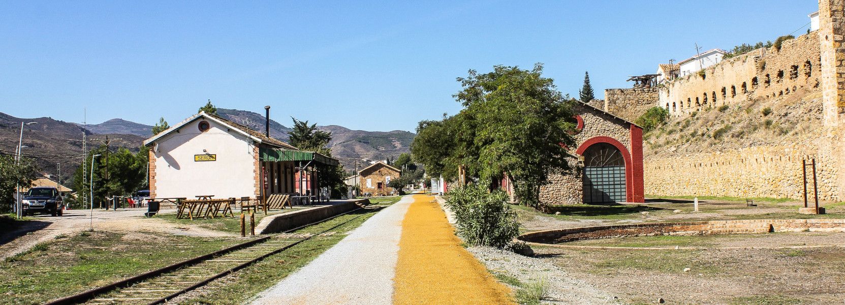
The Iron Road – Spain’s Almanzora Valley Greenway
Other adventures around Comarca de Baza


Tips from the Community

A tributary of the Bolera reservoir, it creates an idyllic landscape full of life. It is worth visiting.
0
0

Set of small waterfalls that form the Guazalamanco waterfalls, located on the river of the same name. After a rainy season, the waterfalls offer a very beautiful natural spectacle.
0
0
Set of small waterfalls that form the Guazalamanco waterfalls, located on the river of the same name. After a rainy season, the waterfalls offer a very beautiful natural spectacle.
0
1

Waterfalls of great beauty.
0
1
Frequently Asked Questions
How many waterfall hiking trails are there in Comarca de Baza?
Komoot currently lists 7 waterfall hiking trails around Comarca de Baza. These routes offer a variety of experiences, primarily within the mountainous Sierra de Baza Natural Park.
What is the best time of year to visit the waterfalls in Comarca de Baza?
The Sierra de Baza Natural Park, where many of the waterfalls are located, receives substantial rainfall on its steep peaks, making it a 'bioclimatic island' compared to the surrounding arid terrain. This means waterfalls are likely to be most impressive during and after periods of rain, typically in spring or autumn, or after winter snowmelt. Summer can be very dry, potentially reducing water flow.
Are there any easy waterfall hikes suitable for beginners or families?
Yes, there is at least one easy waterfall hike available. For a moderate option that is still very popular, consider the Puente de la Herradura – Guazalamanco Waterfall loop from Hotel Rural Dehesa del Rincón, which is about 10.25 km long and takes around 2 hours 51 minutes. It offers a rewarding experience without extreme difficulty.
Can I bring my dog on the waterfall trails in Comarca de Baza?
While many trails in natural parks are dog-friendly, it's always best to check specific regulations for the Sierra de Baza Natural Park. Generally, dogs are permitted on trails if kept on a leash, especially to protect local wildlife. Ensure you carry enough water for both yourself and your dog, as some areas can be quite exposed.
What kind of landscapes can I expect to see on a waterfall hike in Comarca de Baza?
Waterfall hikes in Comarca de Baza will lead you through incredibly diverse landscapes. You'll encounter extensive pine forests (Scots, Austrian, black, and Aleppo pines), native holm oaks, and high mountain meadows fed by numerous streams. The region is also part of the UNESCO Granada Geopark, so you might see unique geological formations alongside the lush, humid areas around the waterfalls.
Are there any circular routes that include waterfalls?
Yes, several waterfall trails are designed as circular routes. A popular choice is the Cascada del Guazalamanco - circular through the P. N. de las Sierras de Cazorla, Segura y las Villas, which is 11.1 km long and takes approximately 3 hours 29 minutes to complete, leading you through a natural park to a notable cascade.
What should I wear for waterfall walks in the Baza area?
Given the mountainous terrain and varied conditions, it's advisable to wear sturdy hiking boots with good grip, as trails can be uneven or wet near waterfalls. Layered clothing is recommended to adapt to changing temperatures, especially at higher altitudes. Don't forget rain gear, even if the forecast is clear, and bring plenty of water.
What other natural attractions are near the waterfall trails?
Beyond the waterfalls, the region offers stunning natural features. You can explore the unique geological formations of the Granada Geopark, including the Negratín Badlands. The Narváez Viewpoint within the Sierra de Baza Natural Park offers expansive panoramic views and is accessible via easy trails. You might also encounter high mountain meadows like Prados del Rey.
What do other hikers enjoy most about waterfall hiking in Comarca de Baza?
The routes in Comarca de Baza are highly rated by the komoot community, with an average score of 4.5 stars from more than 150 reviews. Hikers often praise the dramatic and diverse landscapes, the refreshing presence of waterfalls, and the sense of immersion in nature within the Sierra de Baza Natural Park.
Are there any longer, more immersive waterfall hikes in the region?
For a longer and more immersive experience, consider the Guazalamanco Waterfall – Guazalamanco Waterfall loop from Mirador Guazalamanco. This route covers approximately 12.2 km and typically takes around 3 hours 41 minutes, allowing for a deeper exploration of the area surrounding the waterfall.
Is there public transport access to the waterfall hiking trailheads?
While the Sierra de Baza Natural Park is a significant natural area, public transport options directly to specific trailheads, especially for waterfall routes, can be limited. It is generally recommended to have private transportation to access many of the more remote starting points. The Narváez Visitor Center could be a good starting point for some trails, but check local transport schedules if relying on public options.
Are there any historical or archaeological sites near the waterfall trails?
The Comarca de Baza region has a rich history. While not directly adjacent to every waterfall, the area contains evidence of ancient human habitation, including Paleolithic cave paintings on Mount Jabalcón and the ruins of Benzalema Castle. Exploring these historical sites could be a complementary activity to your waterfall hikes.
Most popular routes around Comarca de Baza
Most popular attractions around Comarca de Baza

Get inspired with the komoot mobile app


Explore more
Browse the best Hikes in other regions.
