Routes

Planner

Features

Updates

App

Login or Signup

Get the App

Login or Signup

Routes
Hikes
United States
Arizona
Coconino County

Grand Canyon National Park

Easy hikes and walks in Grand Canyon National Park

4.7

(2663)

35,418

hikers

208

hikes

Easy hiking trails in Grand Canyon National Park offer access to one of the world's most significant natural wonders, characterized by its immense scale and diverse geological features. The park's terrain includes layered rock formations, deep canyons carved by the Colorado River, and expansive rimside paths. These trails provide opportunities to experience varied microclimates and unique perspectives of the canyon's depths, from cooler rim elevations to the warmer canyon floor.

Best easy hiking trails in Grand Canyon National Park

  • The most popular easy hiking route is Grand Canyon Greenway Trail, a 2.2 miles (3.6 km) trail that takes 56 minutes to complete, offering accessible paths along the rim.
  • Another top favourite among local hikers is Rim Trail: Mather Point to Yavapai Point, an easy 1.0 mile (1.7 km) path. This route provides panoramic vistas along the South Rim, connecting key viewpoints.
  • Local hikers also love the Transept Trail, a 2.2 miles (3.5 km) trail leading through forested areas and offering views into the canyon, often completed in about 59 minutes.
  • Hiking in Grand Canyon National Park is defined by layered rock formations, the Colorado River, and expansive rimside paths. The network offers options for different ability levels, with 76 easy hiking trails available.
  • The routes in Grand Canyon National Park are highly rated by the komoot community with an average score of 4.8 stars from over 2,700 reviews. More than 31,000 hikers have used komoot to explore Grand Canyon National Park's varied terrain.

Last updated: July 21, 2026

43

hikers

#1.

Grand Canyon Greenway Trail

3.57km

00:56

40m

20m

The Grand Canyon Greenway Trail offers a serene and accessible way to experience the iconic South Rim, winding through fragrant ponderosa and juniper forests before revealing breathtaking rim-side views of the canyon's layered rock formations and red dirt. This easy hiking route, spanning 2.2 miles (3.6 km) with just 125 feet (38 metres) of elevation gain, is mostly paved, making it a smooth journey for about 56 minutes. You might even spot wildlife like bighorn sheep or elk along the way, adding to the natural immersion.

Planning your visit is straightforward, as the trail is designed for accessibility and convenience. It's largely a multi-use pathway, with some sections featuring packed gravel, and integrates perfectly with the park's free shuttle bus system. While the overall Grand Canyon Greenway Trail terrain and difficulty are easy, remember that the South Rim is at 7,000 feet; the uphill grade from Tusayan into the park can be a moderate challenge due to the altitude, so pace yourself.

This greenway system is more than just a scenic path; it's a vital car-free network totaling 13 miles of paved pathways across various segments, connecting key viewpoints and even serving the local community. It offers a unique perspective of the Grand Canyon, providing access to areas otherwise inaccessible by car, and acts as a gateway to more strenuous adventures like the South Kaibab and Bright Angel Trails for those seeking a deeper dive into the canyon.

Navigate with device

Send to Phone

Save

Easy

Embark on an easy hike along the Rim Trail from Mather Point to Yavapai Point, a perfect introduction to the Grand Canyon's South Rim. This route spans 1.0 miles (1.7 km) with a gentle elevation gain of just 71 feet (22 metres), making it accessible for most. You can expect continuous, expansive views of the canyon's immense scale, showcasing prominent features like Isis Temple and O'Neill Butte, with the Colorado River visible far below. The estimated duration for this pleasant walk is around 27 minutes, allowing you plenty of time to soak in the geological history and capture memorable photographs.

To plan your visit, you will find this popular trail conveniently located between the Grand Canyon Visitor Center and Yavapai Point. Access is straightforward, and shuttle buses run frequently, offering you the flexibility to walk one way and ride back if you prefer. Consider starting your journey at Mather Point, which provides sweeping vistas from its amphitheater. During the winter months, be aware that trail surfaces can become slippery or icy due to snow, so check conditions before you go.

This section of the Rim Trail is notable for offering a clear glimpse into the canyon's geological layers and its vastness. It serves as an excellent starting point for understanding the Grand Canyon's unique environment. The trail highlights the sheer scale of this natural wonder, providing numerous opportunities to appreciate its ancient formations and the distant river. It's a great way to experience the South Rim's iconic scenery without committing to a longer, more strenuous trek.

Easy
guide_signup
Let us show you the way with the komoot mobile app
With a free komoot account, you can easily find, customize, and navigate endless outdoor adventures.

Sign up for free

6

hikers

3.51km

01:00

110m

20m

Embark on the Transept Trail for an easy hike through the North Rim's mixed woodlands. You'll find welcome shade under pine, oak, and aspen trees as the path gently winds. While some parts are nestled in dense forest, others open up to expansive views of the deep, red-walled Transept Canyon. Keep an eye out for distant formations like Deva Temple and Brahma Temple as you go. This straightforward route covers 2.2 miles (3.5 km) with a manageable 365 feet (111 metres) of elevation gain. Most hikers complete it in about 59 minutes, making it a perfect short outing.

Planning your visit to the Transept Trail requires a bit of foresight. Located on the North Rim of the Grand Canyon, this area typically experiences seasonal access, so always confirm current conditions before you head out. It's wise to check the Grand Canyon National Park website for any road closures or permit requirements. You can usually find parking near the Grand Canyon Lodge or the North Rim Campground, both of which serve as convenient starting points for your hike. Be sure to plan accordingly for the best experience.

This trail offers more than just scenic views; it also provides a practical connection within the park. The route conveniently links the Grand Canyon Lodge with the North Rim Campground, making it an excellent option for those staying at either location. As you hike, you might even spot local wildlife, such as mule deer or the distinctive Kaibab squirrel, adding to the natural charm of the Grand Canyon. It's a family-friendly option that showcases the unique ecosystem of the North Rim.

Easy

4

hikers

1.72km

00:28

20m

30m

Hike the easy 1.1-mile Shoshone Point Trail in Grand Canyon National Park for secluded, panoramic views of the South Rim.

Easy

1

hikers

812m

00:22

120m

0m

Embark on the Deer Creek Trail, an easy hike offering a quick yet rewarding experience. This route covers 0.5 miles (0.8 km) and involves an elevation gain of 395 feet (120 metres), typically taking around 21 minutes to complete. As you hike, you will pass through enchanting narrows carved from the Tapeats Formation, with certain sections skirting along a ledge. The trail provides spectacular views looking back towards the Colorado River. A major highlight is the powerful 180-foot Deer Creek Falls, a dramatic natural feature marking a significant point along your journey.

Accessing the Deer Creek Trail requires specific planning due to its remote location within Grand Canyon National Park. Most visitors reach the trailhead from the Colorado River, often as part of organized rafting trips. Alternatively, you can approach the trail via a longer hike originating from the North Rim. Be sure to prepare for the unique logistical challenges involved in reaching this secluded area.

The Deer Creek Trail is notable for its geological formations, particularly the narrows carved from the ancient Tapeats Formation. This area showcases the raw power of water shaping the landscape over millennia. The trail's location within Grand Canyon National Park makes it a unique segment of a larger, awe-inspiring natural wonder, offering a distinct perspective of the canyon's interior.

Easy
Sign up for free to see 204 more hikes in Grand Canyon National Park.

Get access to more routes and recommendations from other explorers.

Sign up for free

Already have an account?

Our route recommendations are based on thousands of hikes, rides, and runs completed by other people on komoot.

Start today with a free account

Your next adventure awaits.

Login or Signup

Popular around Grand Canyon National Park

The Arizona Trail — From Mexico to Utah in 43 days
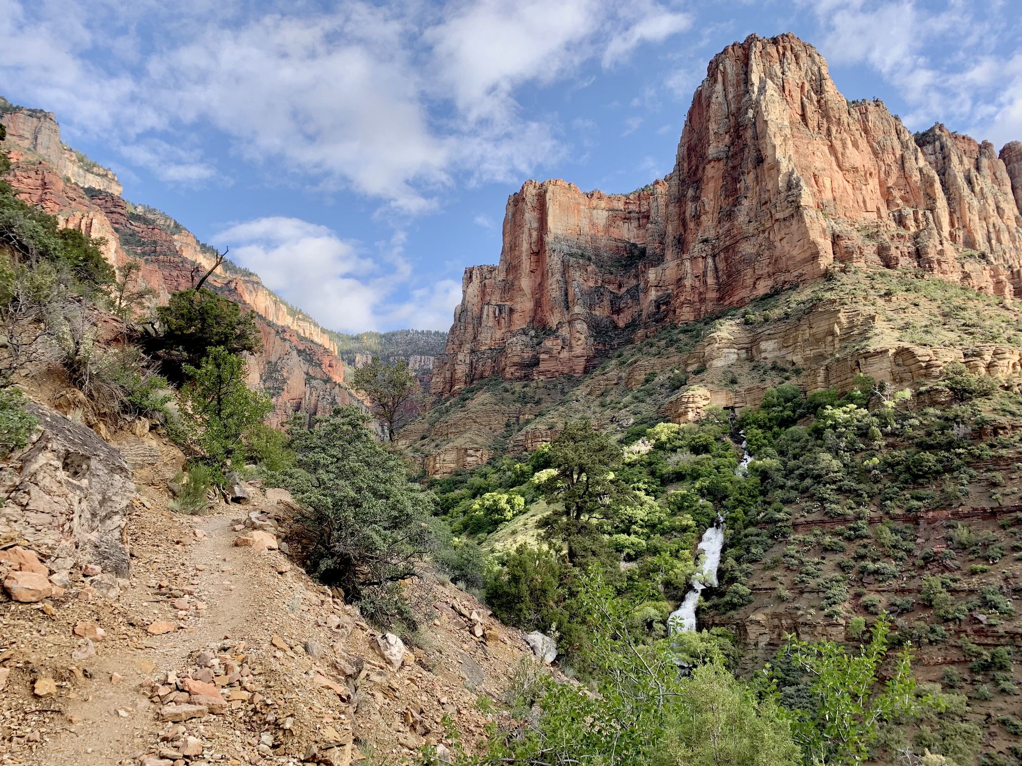
Rim-to-Rim-to-Rim – top to bottom through the Grand Canyon

Historic Route 66 – curiosities, selfie spots and diners
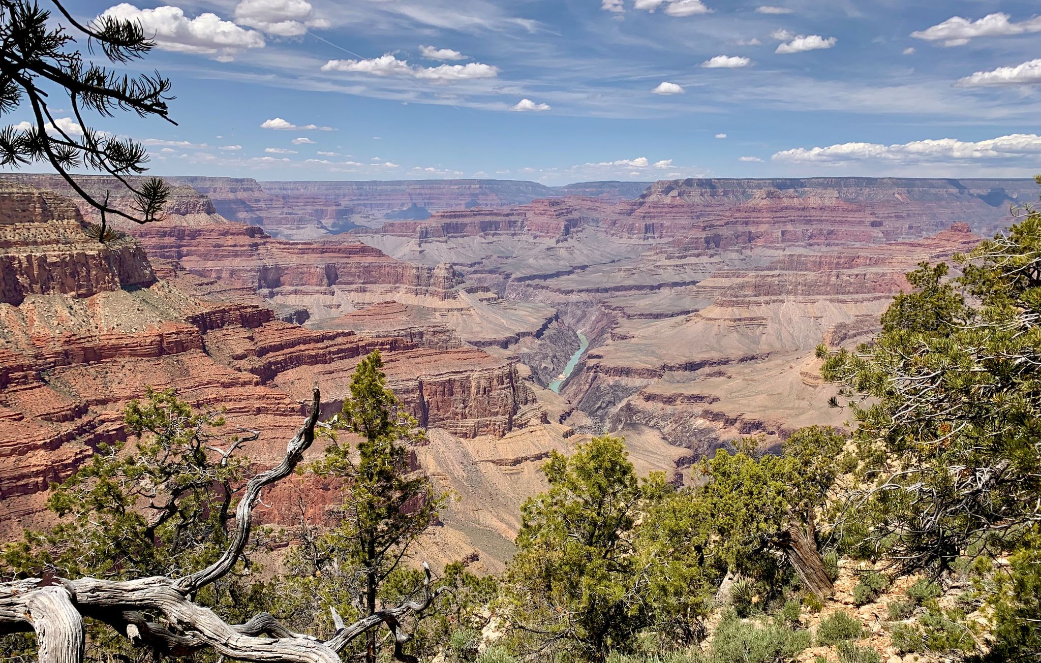
Arizona to Colorado – national parks and Native American culture
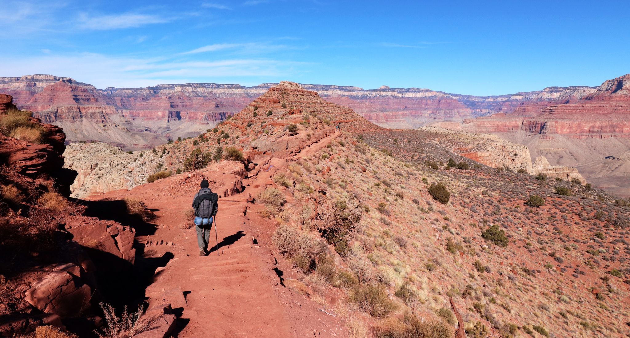
An unforgettable winter hike through the Grand Canyon

The pristine beauty of the US National Parks

Arizona Trail — A beautiful 800-mile struggle
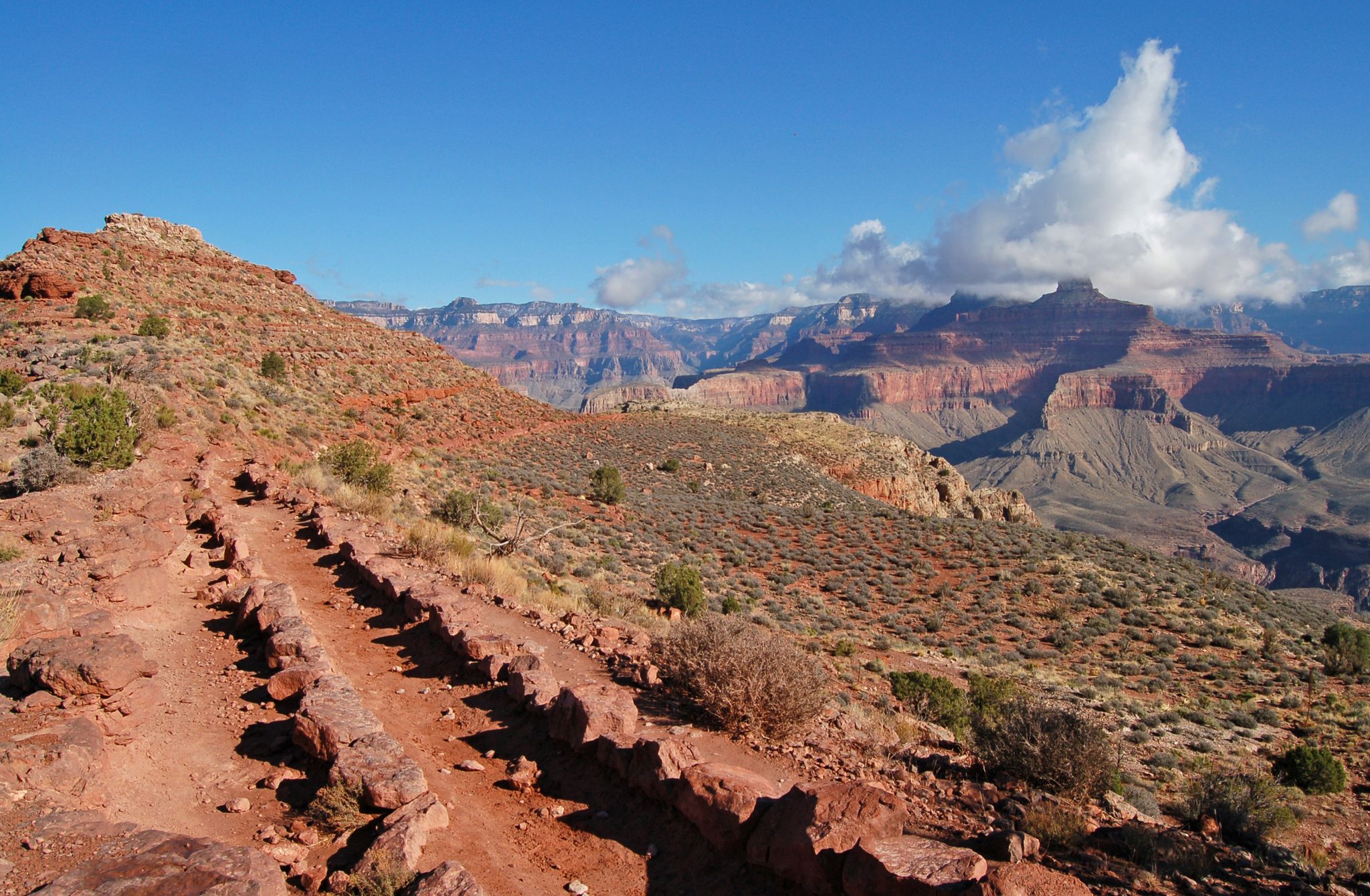
Rim-to-Rim-to-Rim — Fastpacking into the Grand Canyon’s heart
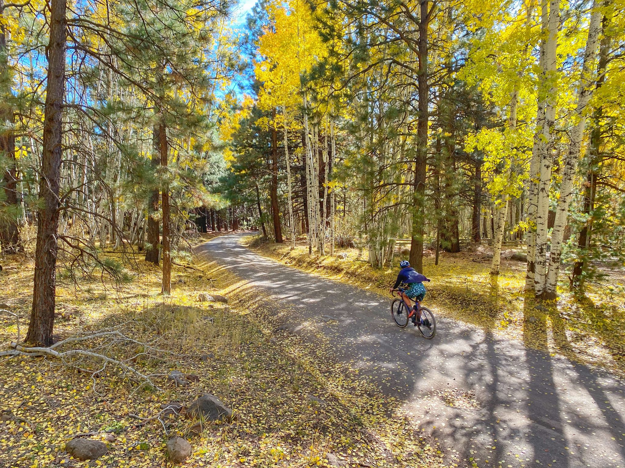
Grand Canyon to Mount Humphreys — a run, bike, run adventure

Other adventures in Grand Canyon National Park

The Arizona Trail — From Mexico to Utah in 43 days

Hiking Collection by

Caro "Bandit"

Tips from the Community

Kathi
September 11, 2025, Grand Canyon

Overwhelming 👌👌👌👌

Translated by Google

0

0

Fires closed many of the trails and two days later the area was completely closed for the remainder of the season due to the fires.

0

0

The view doesn’t get much better than that from the plate-glass windows of this small stone building, but weather permitting, be sure to take in the canyon’s splendor from the lookout just outside. There, you can hear, smell, and feel the canyon rather than just see it. Helpful panels in the museum explain the various formations unfolding before you, and displays (including a scale model) illuminate the canyon’s layered geologic history.

Translated by Google

4

0

maniboyflex
February 7, 2025, Grand Canyon

Biking through the Grand Canyon is an unforgettable adventure, with stunning rock formations and epic views at every turn. There are trails for all levels, whether you're looking for a challenge or a relaxed ride. Classic bike touring routes include the ride to Hermit's Rest and the Rim Trail. Don’t forget to bring plenty of water.

0

0

Mather Point Amphitheatre is a perfect place to contemplate the stunning views while seated in elevated seats made from native limestone. The amphitheatre hosts Ranger-led interpretive programs and is easily accessible from the Visitor Center.

1

0

A perfect spot to enjoy lunch while admiring the breathtaking beauty of the canyon. Covered picnic tables and restrooms are available nearby Shoshone Viewpoint.

0

0

Nice to sit and enjoy

Translated by Google

1

0

One of the most beautiful views here at the Grand Canyon

Translated by Google

2

0

Frequently Asked Questions

How many easy hiking trails are available in Grand Canyon National Park?

Grand Canyon National Park offers 76 easy hiking trails, providing accessible ways to experience its immense scale and diverse geological features.

What do other hikers enjoy most about easy hikes in Grand Canyon National Park?

The komoot community rates these trails highly, with an average of 4.8 stars from over 2,700 reviews. Hikers often praise the awe-inspiring scale, panoramic vistas, and the unique perspective of the canyon's geological layers.

Are there any easy trails with notable viewpoints or landmarks?

Yes, many easy trails offer stunning views. For example, the Rim Trail: Mather Point to Yavapai Point provides panoramic vistas along the South Rim. You can also explore highlights like Mohave Point and the Mather Point Amphitheater, which are easily accessible.

Are there any easy circular routes in Grand Canyon National Park?

While many easy trails are out-and-back or linear, you can create circular experiences by combining sections of the Rim Trail with the park's shuttle system. For instance, you can hike a portion of the Rim Trail and use the shuttle to return to your starting point.

What is the best time of year for easy hikes in Grand Canyon National Park?

Spring and fall generally offer the most pleasant weather for easy hikes, with milder temperatures. Summer can be very hot, especially as you descend into the canyon, while winter can bring snow and ice, particularly on the North Rim.

Are there family-friendly easy hikes suitable for children?

Absolutely. Many easy trails along the rim, such as the Grand Canyon Greenway Trail, are paved or well-maintained, making them ideal for families. These paths offer incredible views without significant elevation changes.

Are dogs allowed on easy hiking trails in Grand Canyon National Park?

Leashed pets are generally permitted on trails above the rim, such as the Rim Trail. However, they are not allowed on trails below the rim, on shuttle buses, or in park lodging. Always check specific park regulations for the most current information.

Where can I find parking for easy hikes in Grand Canyon National Park?

Parking is available at various points along the South Rim, including visitor centers and popular viewpoints. During peak seasons, lots can fill quickly, so consider using the park's free shuttle bus system to access trailheads.

Can I access easy hiking trails using public transport within Grand Canyon National Park?

Yes, the Grand Canyon National Park operates a free shuttle bus system on the South Rim, which provides convenient access to many trailheads and viewpoints, including sections of the Rim Trail. This is an excellent way to navigate the park and reduce vehicle congestion.

Are there any easy trails that offer shade?

Shade can be limited, especially on trails directly along the rim or those descending into the canyon. The Transept Trail on the North Rim leads through forested areas, offering more shade than many South Rim options. Always carry plenty of water and wear sun protection.

What should I pack for an easy day hike in Grand Canyon National Park?

Even for easy hikes, it's crucial to be prepared. Pack plenty of water, snacks, sun protection (hat, sunscreen, sunglasses), sturdy walking shoes, and layers of clothing to adapt to changing temperatures. A map and first-aid kit are also recommended.

Are there any less crowded easy hikes in Grand Canyon National Park?

To avoid crowds, consider visiting during the shoulder seasons (spring or fall) or exploring trails early in the morning or late in the afternoon. The Shoshone Point Trail, for instance, offers a more secluded experience to a stunning viewpoint.

Do I need a permit for easy day hikes in Grand Canyon National Park?

Day hiking on established trails within Grand Canyon National Park generally does not require a permit. However, standard park entrance fees apply. Backcountry camping or specific overnight trips into the canyon do require permits. For more details on day hiking regulations, you can visit the NPS website.

Most popular routes in Grand Canyon National Park

Hiking in Grand Canyon National Park

Most popular attractions in Grand Canyon National Park

Natural Monuments

Store rating

Get inspired with the komoot mobile app

With a free komoot account, you can easily find, customize, and navigate endless outdoor adventures.

or

Join komoot Now

Store rating

Explore more

Browse the best Hikes in other regions.

Coconino National ForestFlagstaffSan Franciso PeaksMunds Mountain WildernessKaibab National ForestKaibab PlateauFort ValleyTimberline-FernwoodWalnut Canyon National MonumentOak Creek CanyonKachina Peaks WildernessMunds ParkPageMountainaireVermilion Cliffs National MonumentParia Canyon-Vermilion Cliffs WildernessLecheeGrand Canyon VillageDoney ParkKachina VillageWilliamsMountain View RanchesTusayanFredoniaWest Clear Creek WildernessParksSycamore Canyon WildernessGreenehavenRed LakeStrawberry Crater WildernessSupai

Nearby adventure guides

Things to Do around Supai

Things to Do in Kanab Creek Wilderness

background

Get ready to conquer new peaks

Sign up for Free

Explore
RoutesRoute plannerFeaturesHikesMTB TrailsRoad cycling routesBikepackingSitemap
Download the app
Follow Us on Socials

© komoot GmbH

Privacy Policy

